Gowbarrow Fell and Aira Force
13 October 2007
In Broughton this morning the cloud was almost at sea level, and the weather
forecast was again uncertain (it usually is in the Lake District), but the best
weather looked as though it might be found in the north or east, so we travelled
right across the District to Ullswater.
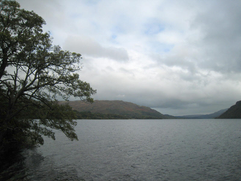
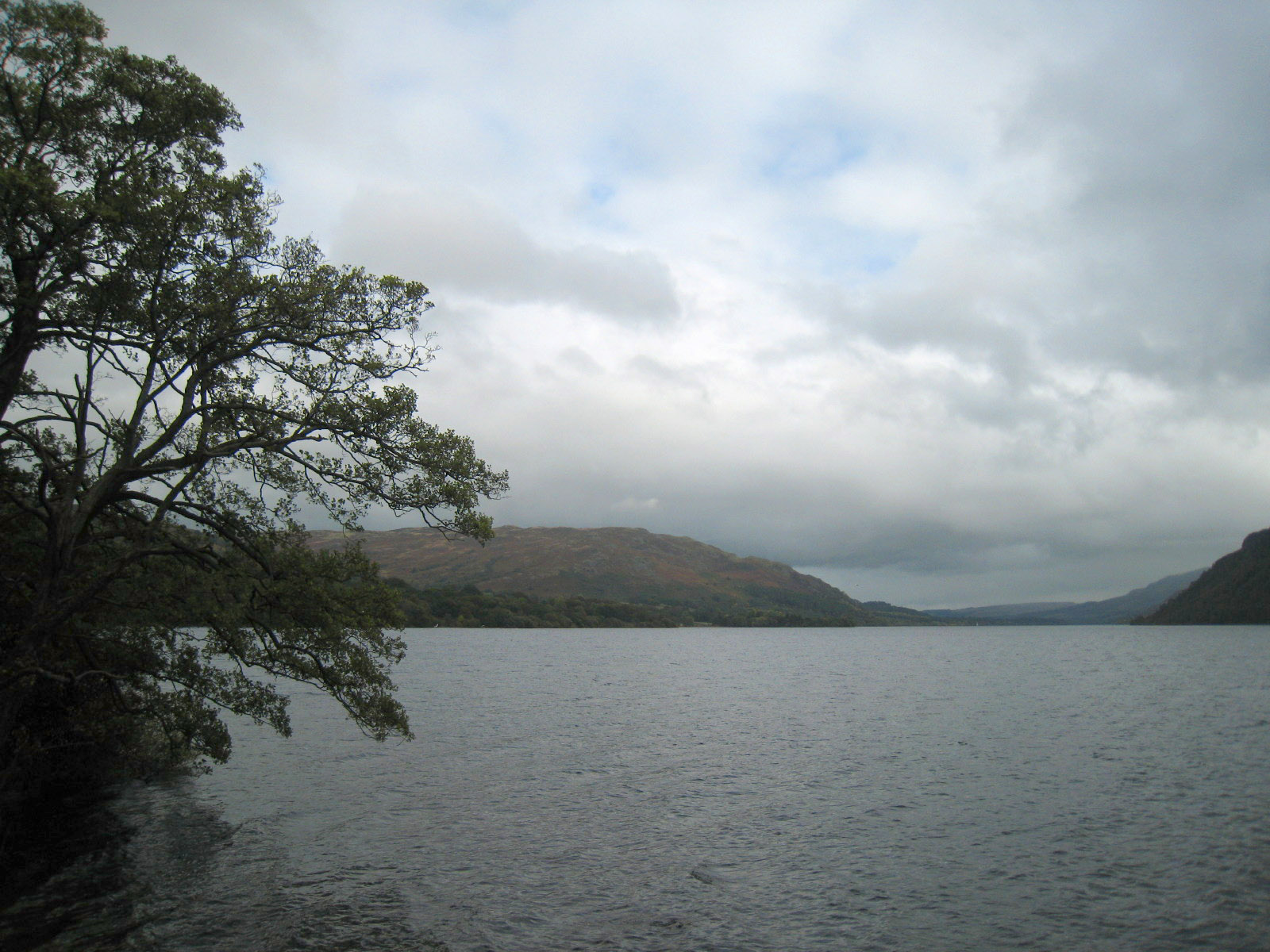
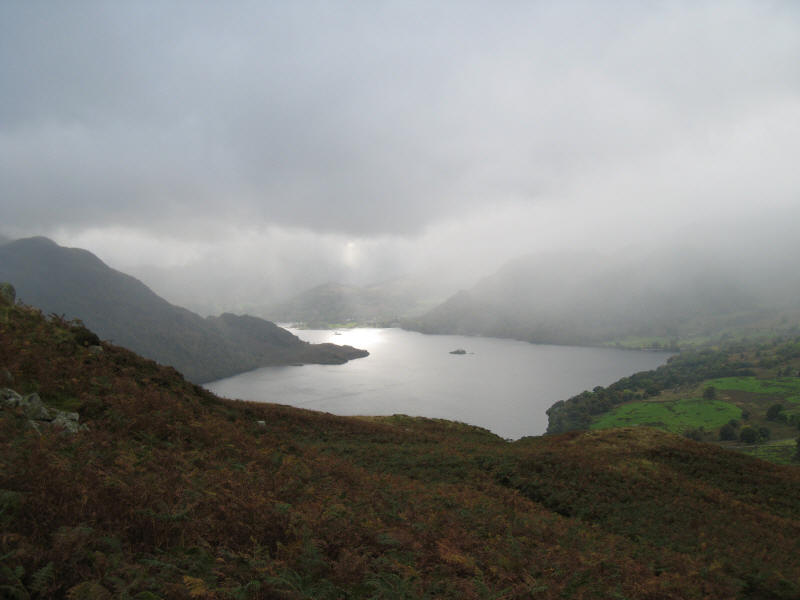
From the road around Ullswater, a look across to Gowbarrow Fell. There were even
occasional flashes of sunshine, a vast improvement over what we'd left behind in
southern Cumbria.
The plan had been to have an early lunch in the café at the Aira Force car park,
but it was thoroughly uninspiring as a lunch spot, so we set off on our hill
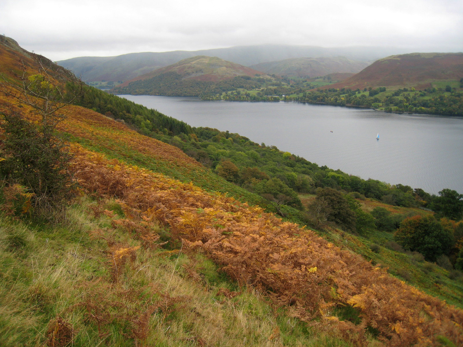
walk with four chocolate chip cookies for lunch. We gradually gain height as the
path slants up across the southern side of the fell, giving us some pleasant
views of Ullswater, with Place Fell on the left of picture.
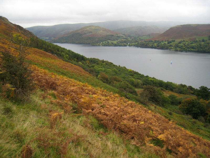
The bracken is a mixture of green, yellow and brown, presumably depending on the
soil. We look across Ullswater to Hallin Fell.

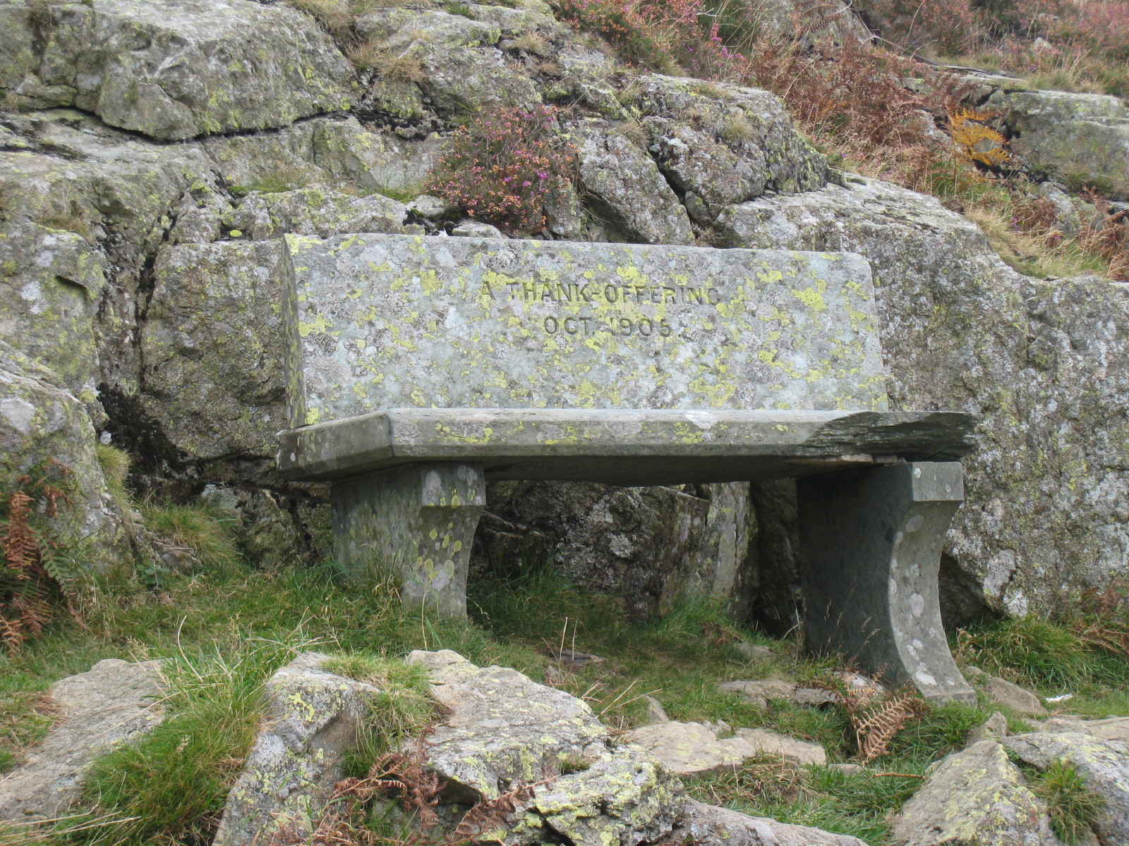
"A Thank-Offering" memorial bench from 1905 sits above Yew Crag at the
south-eastern corner of Gowbarrow Fell
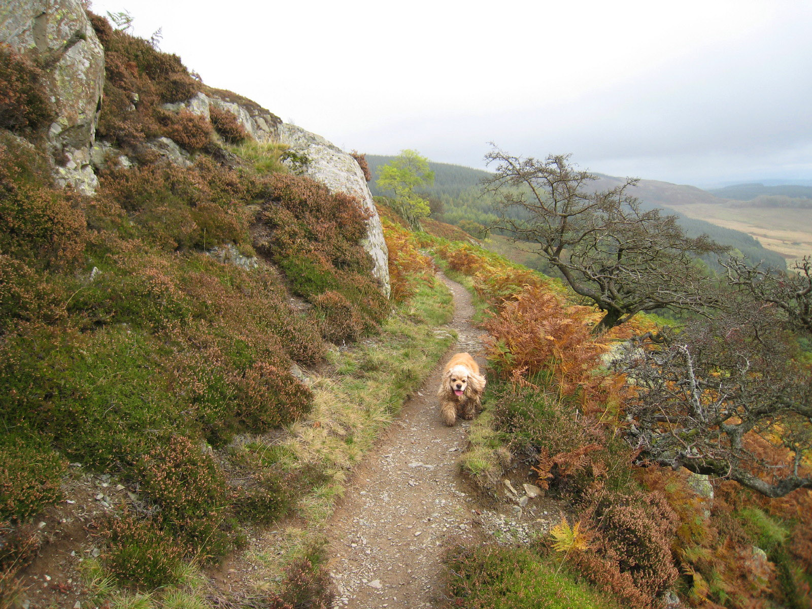
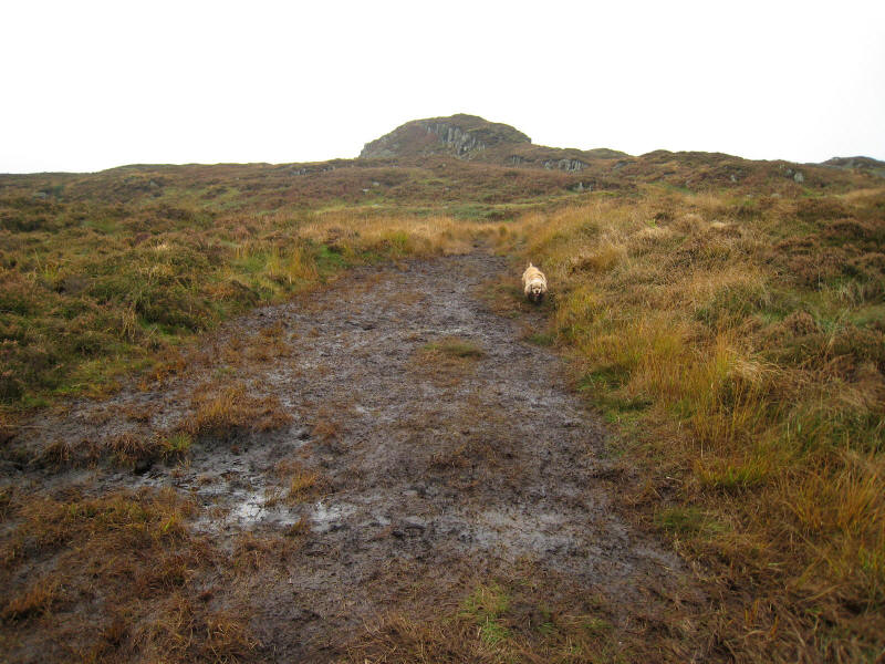
The gradually inclining path continues, taking us along the eastern side of the
fell

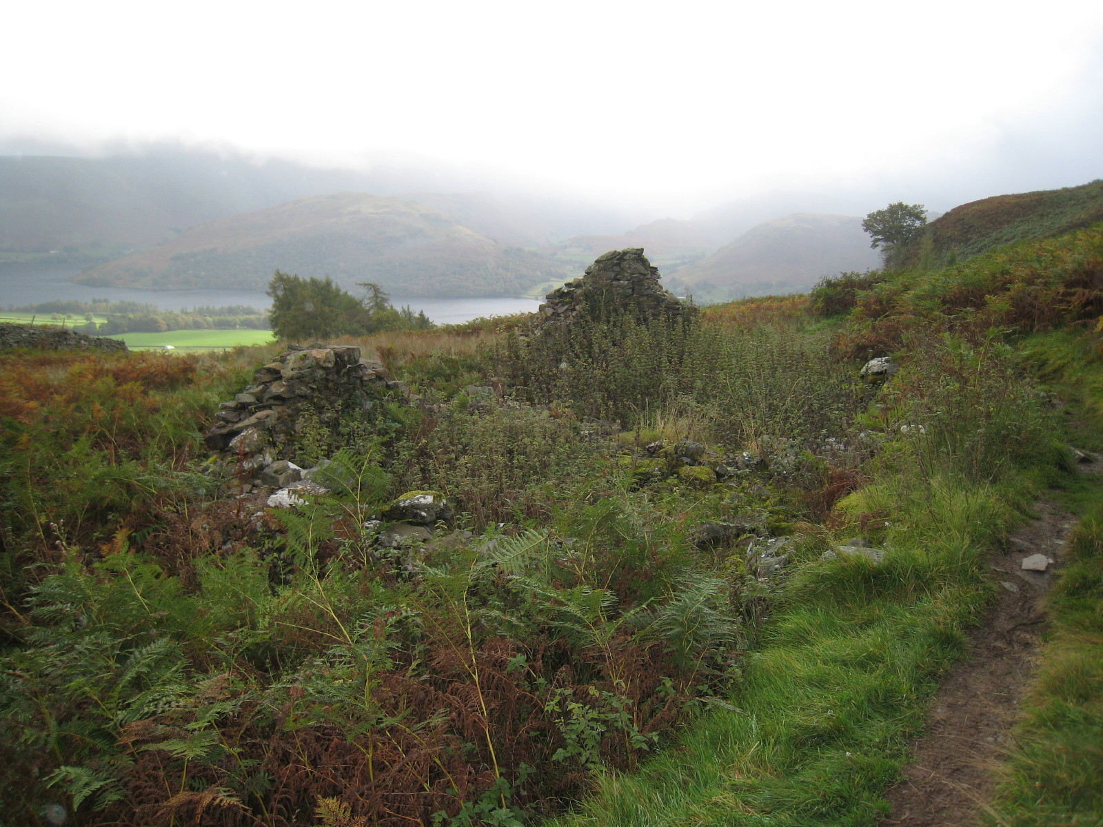
The remains of a shooting lodge, from where the path turns north-west and then
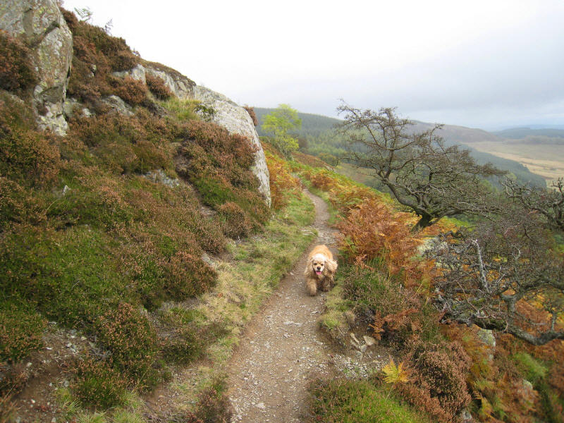
west. From here it gets rather wet in places
George on the wet ascent, with the summit now in view.
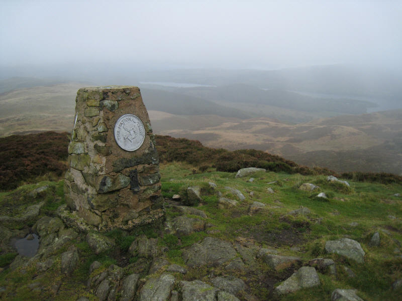
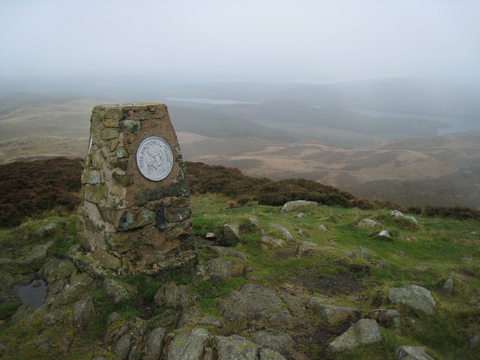
At the summit of Gowbarrow Fell. The cloud, which had seemed to be lifting and
breaking, has come back again.
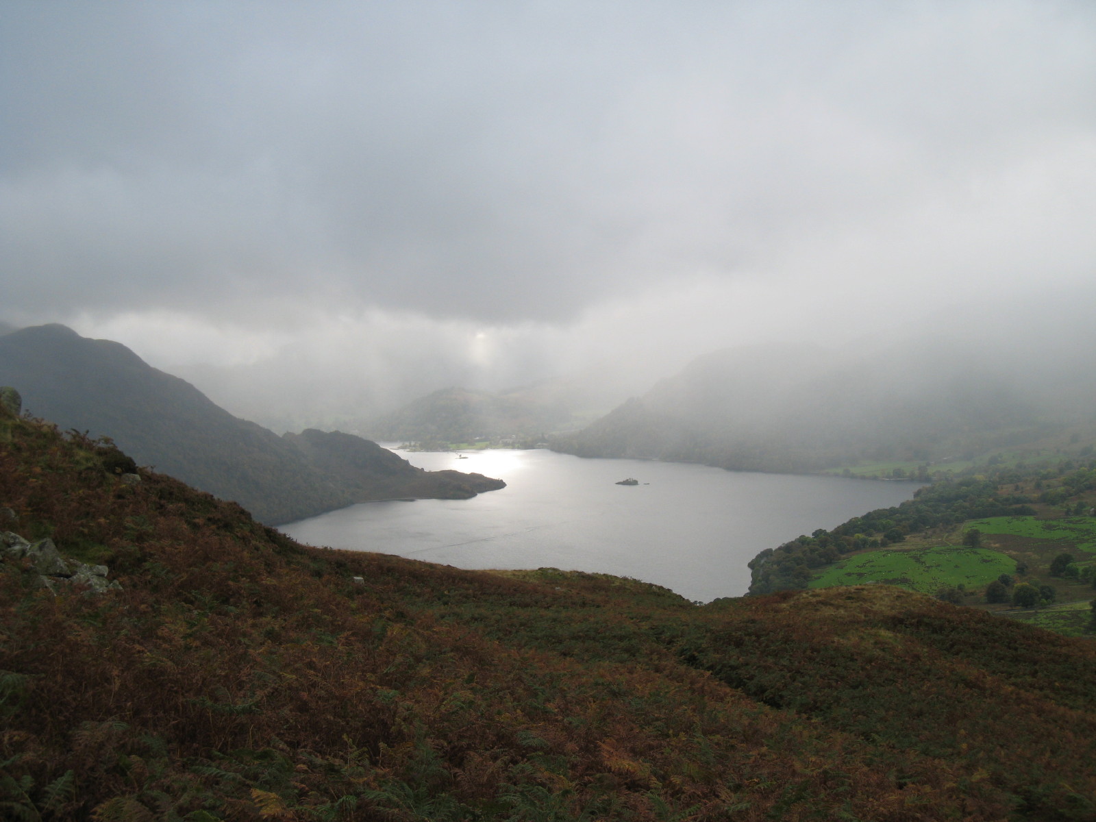
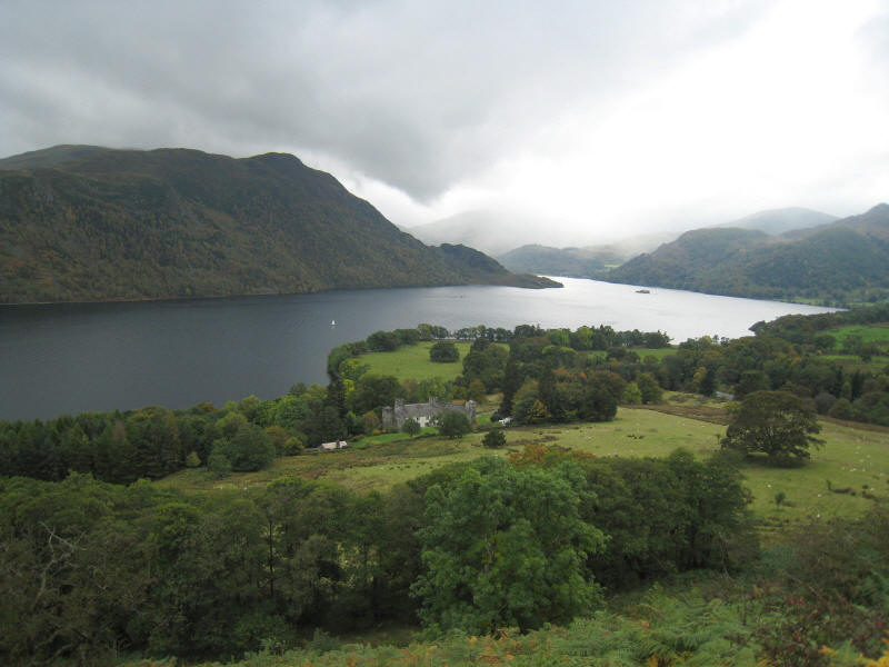
Now taking the shorter route down the south-west side of Gowbarrow Fell,
sunlight glints on the upper reach of Ullswater
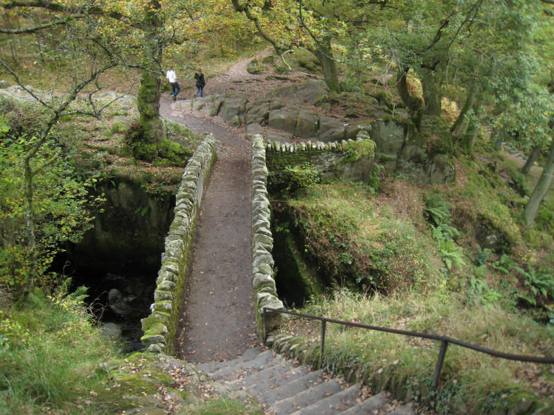
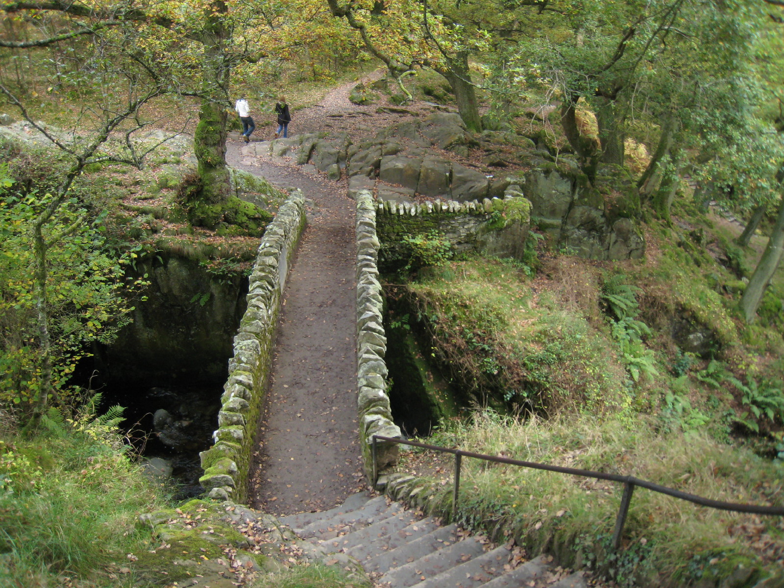
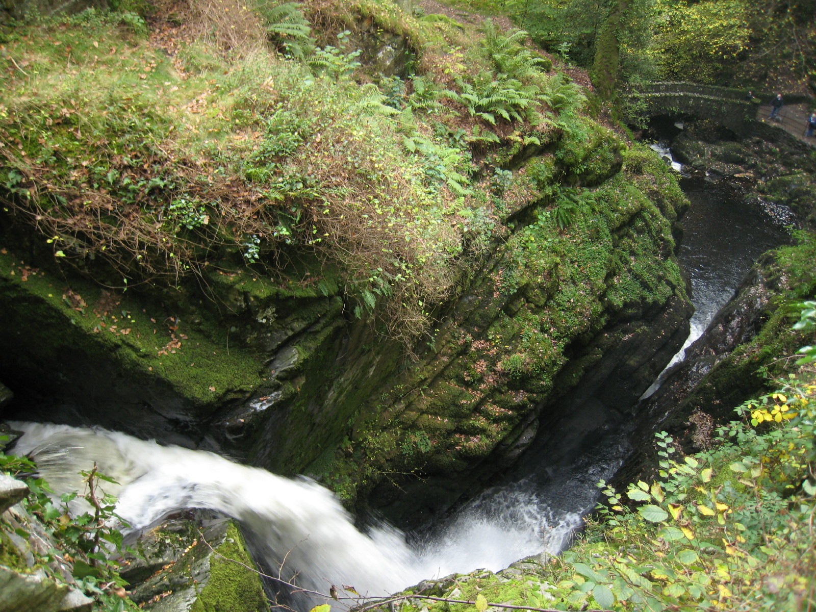
We finish our walk with a visit to Aira Force. This is the upper bridge from the
west side. From here all looks relatively unremarkable

But from the bridge it is a vertigo-inducing plunge which this photograph
doesn't really capture. We then walked down to the lower bridge seen in this
picture

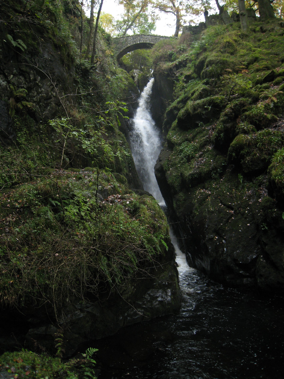
From below, a look at Aira Force, capped with the upper bridge. Quite a
waterfall, and an excellent end to the walk, and well worth preserving till the
end.
Total distance 7.05km and 425 metres of ascent in 2 hours 40 minutes
Lake District holiday, October 2007
|
|