Sheffield Pike and Glenridding Dodd
10 September 2010
A wet morning didn't look like it would turn into a
dry afternoon, but I decided to go out late morning with some lunch,
climb the little Glenridding Dodd almost come what may as regards the
weather, and then decide whether to carry on to the higher Sheffield
Pike. I parked in Glenridding and donned the wet-weather gear.
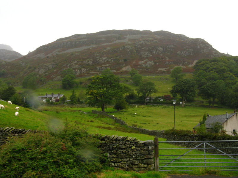
Glenridding Dodd as I leave Glenridding village
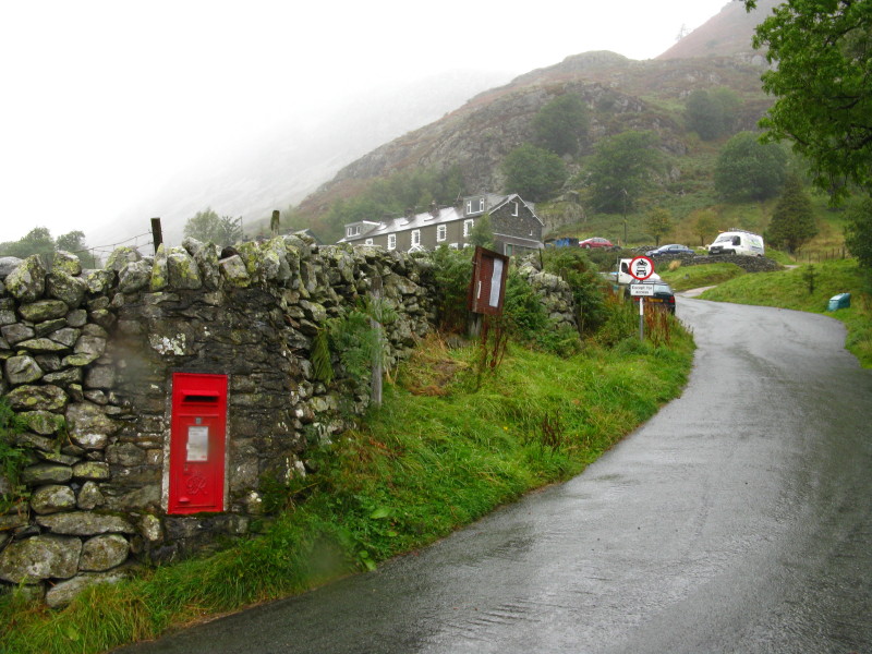
Approaching Rake Cottages where I leave the road and make my way to the
west of Blaes Crag and onto the summit
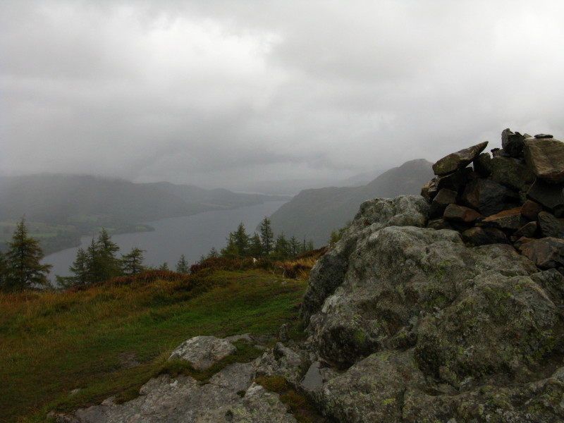
Looking along part of Ullswater from the top of Glenridding Dodd
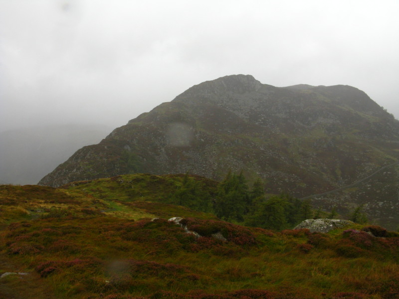
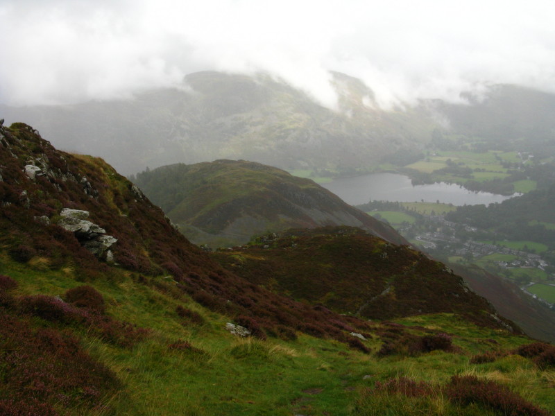
Heron Pike and beyond Sheffield Pike, from Glenridding Dodd. It was wet
and it was moderately windy, but I decided that as I was out and up this
far, I may as well carry on
Near the top of Heron Pike, looking back over Glenridding Dodd to
another part of Ullswater, with Glenridding village to the right of
picture.
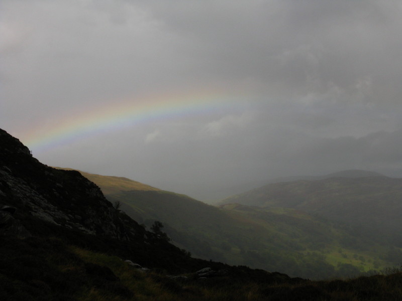
A rainbow shows that there are glimpses of sunshine about - indeed I did
even spot a patch of blue sky, but sadly I didn't see the sun myself.
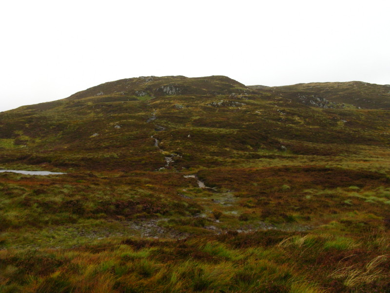
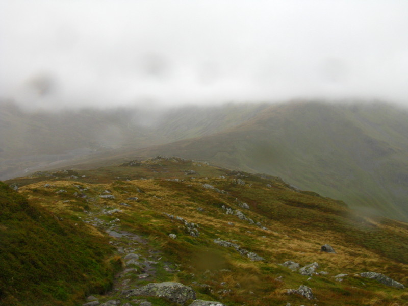
A somewhat damp route towards the summit of Sheffield Pike
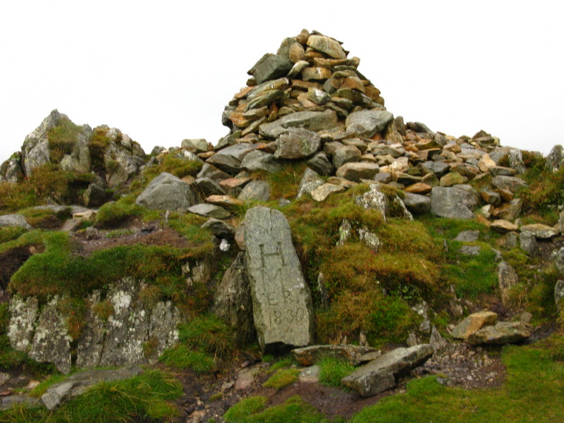
The summit cairn of Sheffield Pike, with a boundary stone
A damp descent towards the col of Nick Head, from where I will turn
north-east into Glencoyne valley
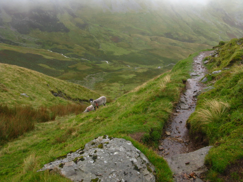
Looking past a couple of sheep into Glencoyne valley
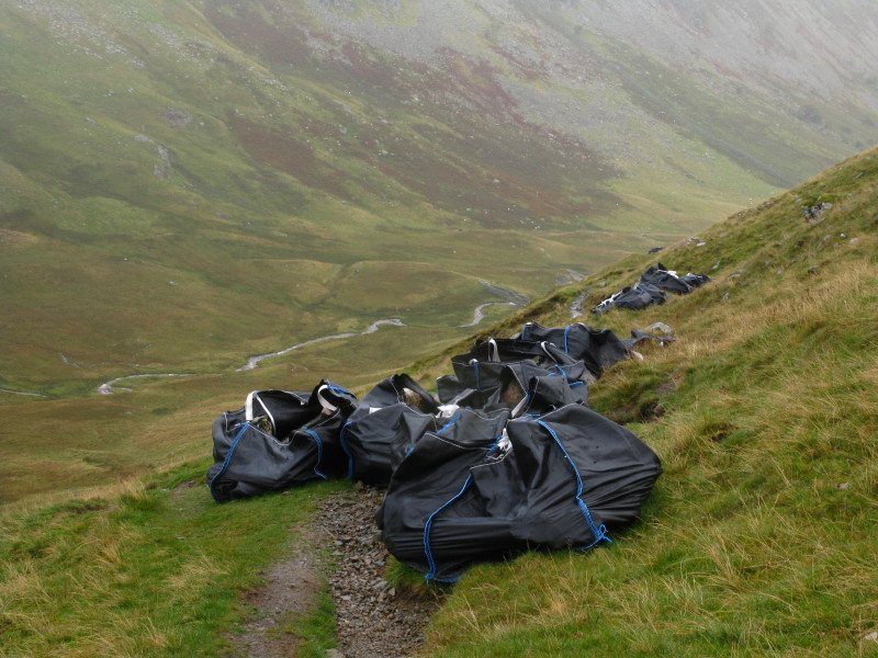
Bags of stone, helicoptered in, ready for path repairs. Frankly it
didn't really seem to need it - there are many paths which are more in
need than this one.
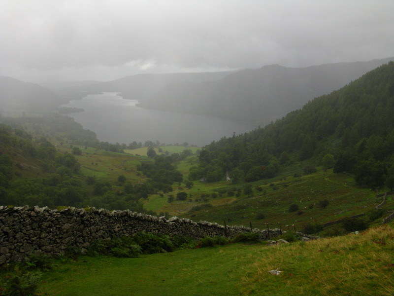
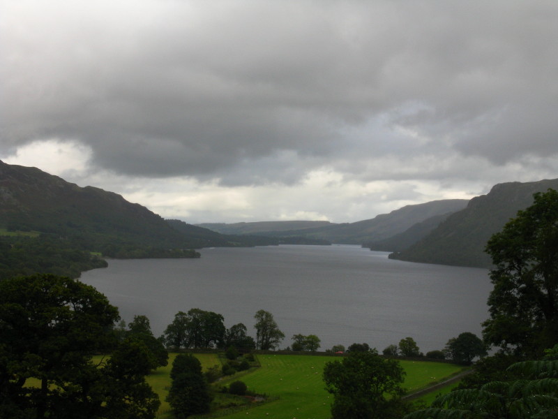
Continuing the descent towards Glencoyne Park, Ullswater again through
the gloom
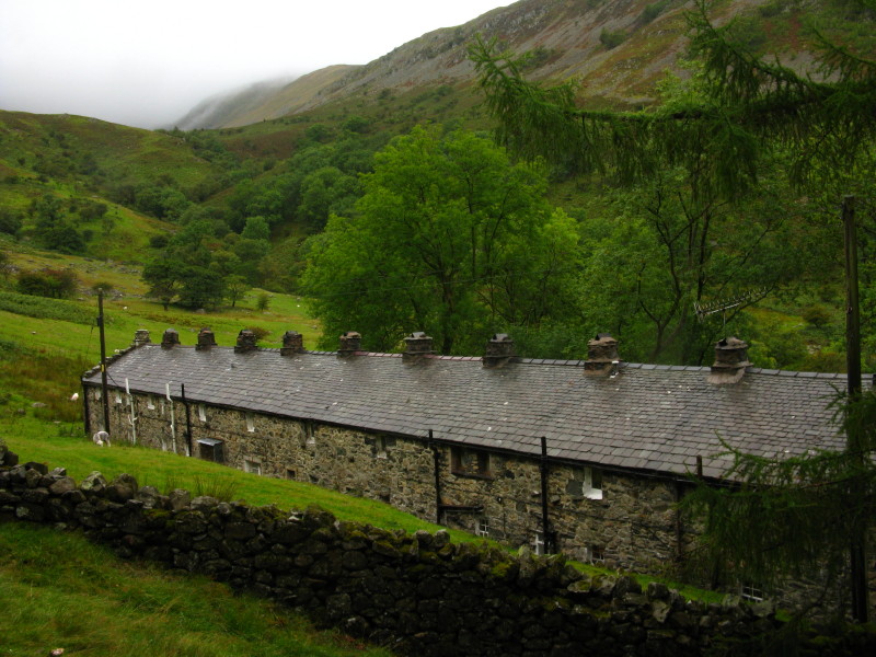
Seldom Seen Cottages - old miners' cottages
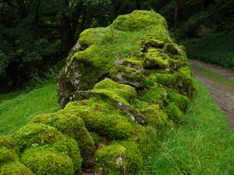
A very mossy "dry" stone wall in Glencoyne Park
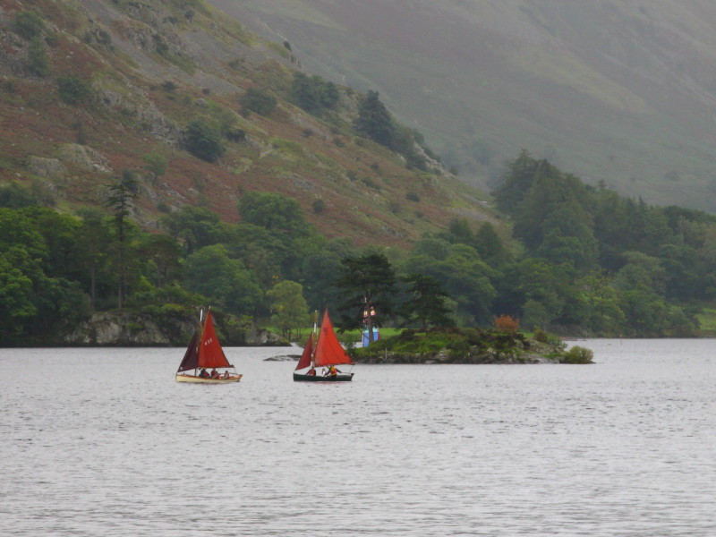
Boats on Ullswater. The final section of the walk is along a permissive
path between the A592 and the lake, with a couple of sections of
road-walking. During one of these I heard a bang and a BMW sportscar did
a neat pirouette in front of me. I paused briefly to check that no-one
was hurt, turned round and walked the other way to warn oncoming
traffic, then turned off the road onto the last section of footpath.
Zoom in for more detail, or click to view larger map in new window
A shame about the weather, but it was still good to be out, and the forecast for
the next two days is better.
Total distance 8.6 km and 654 metres of ascent in 3 hours 24 mins
Lake District holiday, September 2010
|
|