Lake District: Bowscale Fell, Mungrisdale Common, Bannerdale
Crags and Souther Fell
29 September 2012
For the final day of our Lake District long weekend, we
ventured to the north, parking in the village of Mungrisdale on the eastern edge
of the Northern Fells. From here the intention was an easy ascent and visits to
four Wainwright summits, including AW's least favourite.
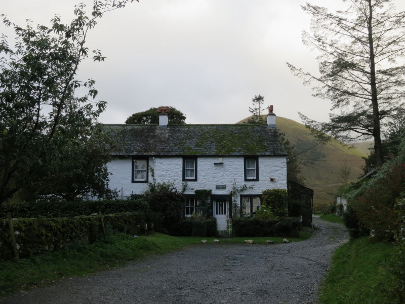
The last homely house as we leave Mungrisdale village
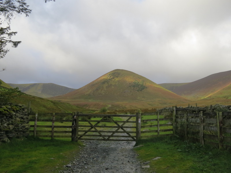
Approaching open country with The Tongue dead ahead. Our route lies to the left
of The Tongue and then slanting up its side to its parent fell, Bowscale Fell.
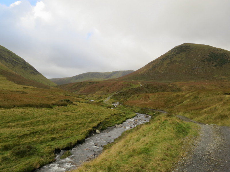
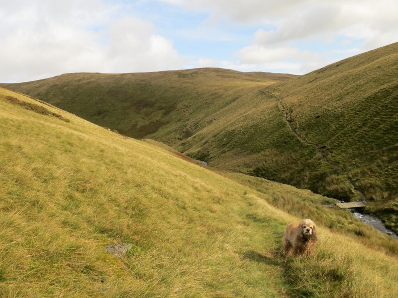
Alongside the delightfully named River Glenderamackin, with The Tongue on the
right, Bannerdale Crags centre and part of our final fell of the day, Souther
Fell, on the left.
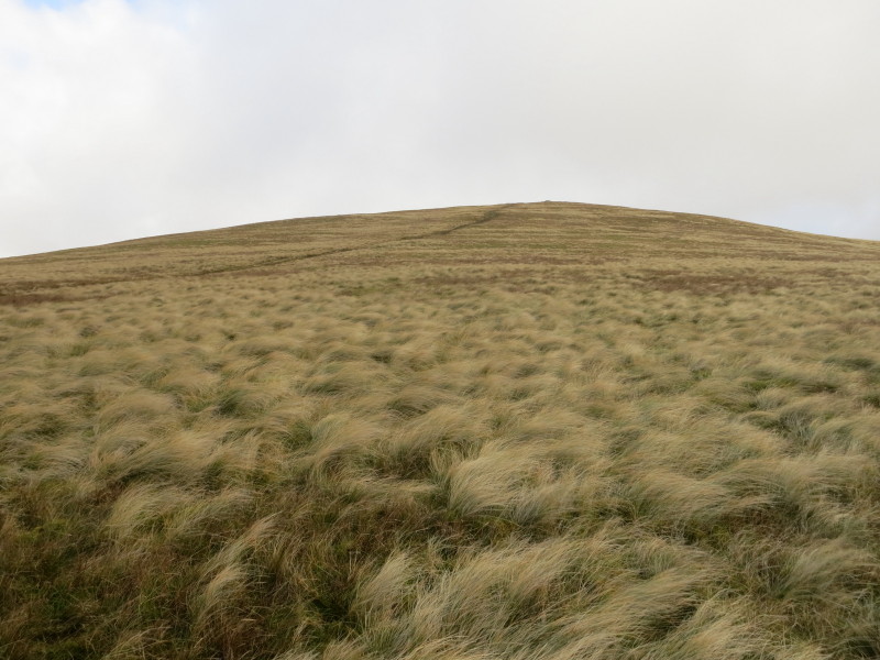
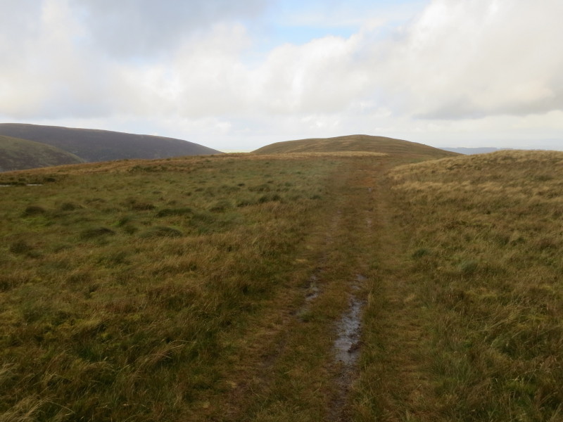
Our easy ascent is remarkably straight: you can see the route heading all the
way to the skyline on the rim between Bowscale Fell (out of sight on the right)
and Bannerdale Crags (left).
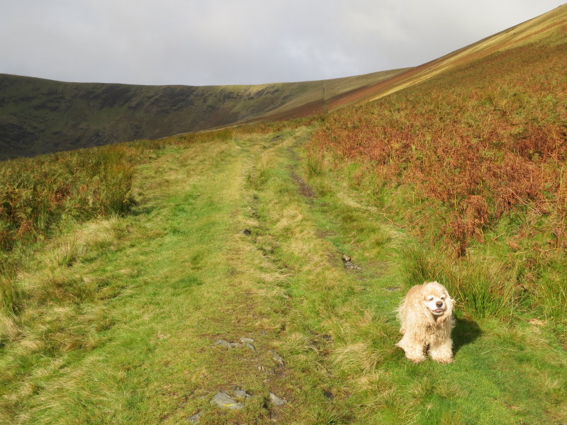
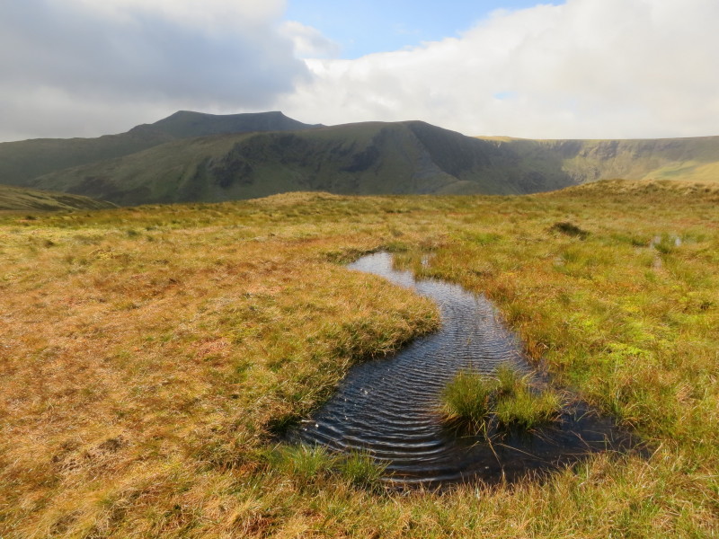
Near the summit of Bowscale Fell, and the walk is getting wetter
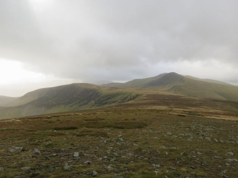
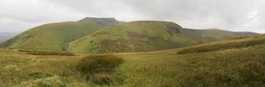
From Bowscale Fell, looking across to Bannerdale Crags, left, and Blencathra
centre-right. Our route lies straight ahead to the col between the two, then a
contouring route across the slopes of Blencathra to Mungrisdale Common.
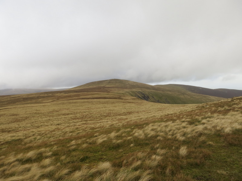
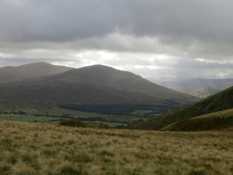
Part way there, a look back to Bowscale Fell
Ahead Blencathra on the left, with our contouring route just visible on the
right of the photo
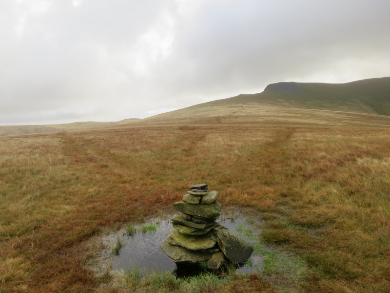
The summit cairn on Mungrisdale Common, Wainwright's least favourite of his 214
fells. He commented that it "has no more pretension to elegance than a pudding
that has been sat on". He didn't even provide a route of ascent as there was no
point in doing so when it would not be used. "Any one of a thousand tufts of
tough bent and cotton-grass might lay claim to crowning the highest point...A
thousand tufts, yet not one can be comfortably reclined upon, this being a
summit that holds indefinitely all the water that falls upon it". Bill Birkett
did have the courage to omit it, this being the only over-1000ft Wainwright
summit to be omitted from his "Complete Lakeland Fells".
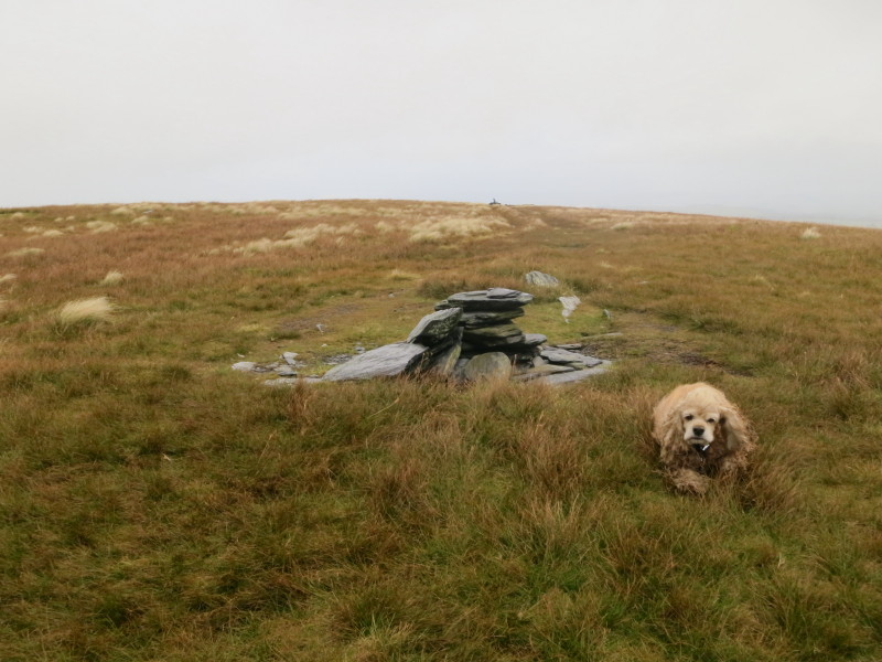
Perversely, of course, Wainwright's inclusion of the fell means that it has been
visited far, far more often than it would have been otherwise, and since his
time and as a result of the visitors he failed to dissuade, it has gained a
summit cairn and a network of paths, all squelchy.
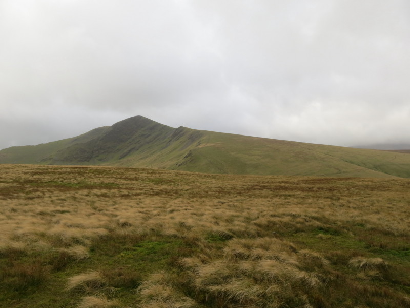
Wind, rain and cloud accompany us on our route to the top of Bannerdale Crags:
cairn one...
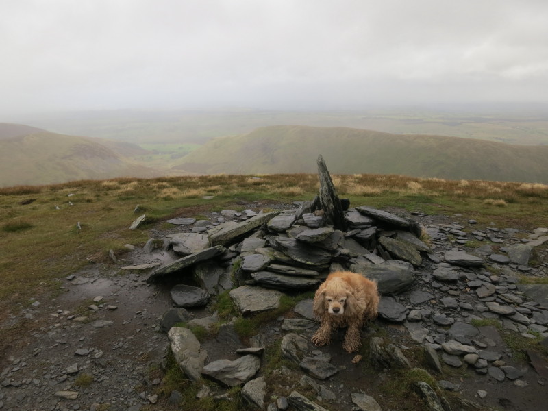
...and cairn two. In the slightly murky distance can be seen Souther Fell, our
fourth summit of the day, but with the Glenderamackin valley in the way.
We took an easy and pathless descent from Bannerdale Crags over White Horse
Bent, which gave us views back to the saddleback of Blencathra
Approaching the Glenderamackin after which we will ascend onto Souther Fell
Looking across the A66 to Clough Head at the northern end of the Helvellyn range
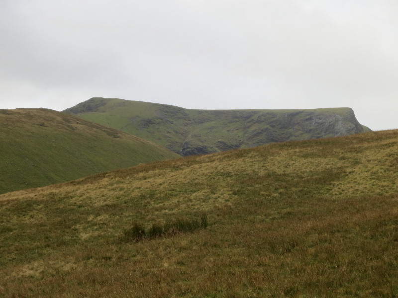
From Souther Fell, a panoramic view (click for larger image) of Blencathra
centre-left descending over Scales Fell, with the curving valley of the
Glenderamackin separating it from Bannerdale Crags, with Bowscale Fell on the
right of the picture
A squelchy walk to the top of Southern Fell
From Souther Fell, another view of the Blencathra saddleback over the top of
Bannderdale Crags
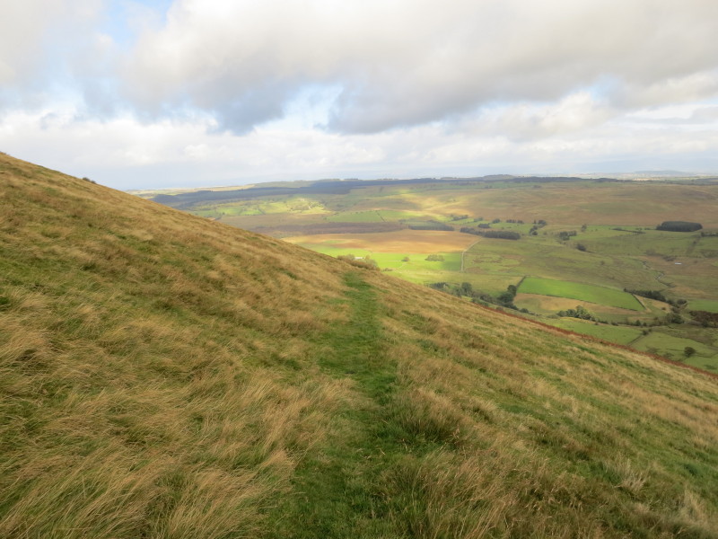
Descending along another straight path across the eastern side of Souther Fell
towards Mungrisdale village.
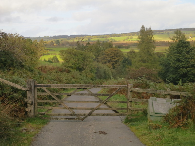
The bracken at the end of the path makes the final few yards to the road a
little more difficult than most of the descent, after which it is a short walk
along the quiet lane back to the village.
A walk which was wetter than ideal, the middle section suffering from too much
water underfoot and too much blowing at us on strong winds, but the second half
in particular was delightful, especially the views of Blencathra on the route up
to Souther Fell.
Total distance 16.2 km and about 800 metres of ascent in 5 hours 38 mins
Lake District holiday, September 2012
|
|
