Ouse Valley Way - Houghton to Earith
25 May 2014
With Lucy, Hetty and Ellie at a rally trial at Abbots
Ripton just north of Huntingdon, it was a good opportunity to return to
the River Great Ouse, which I last visited on a circular walk west from
Houghton Mill, so that's where I started today, heading downriver past
St Ives as far as Earith.
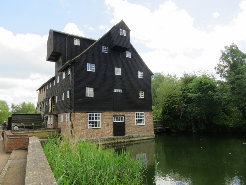
Houghton Mill with its large water wheel on the left. This mill dates
from the 18th century: there has been a mill on this site for over 1000
years.
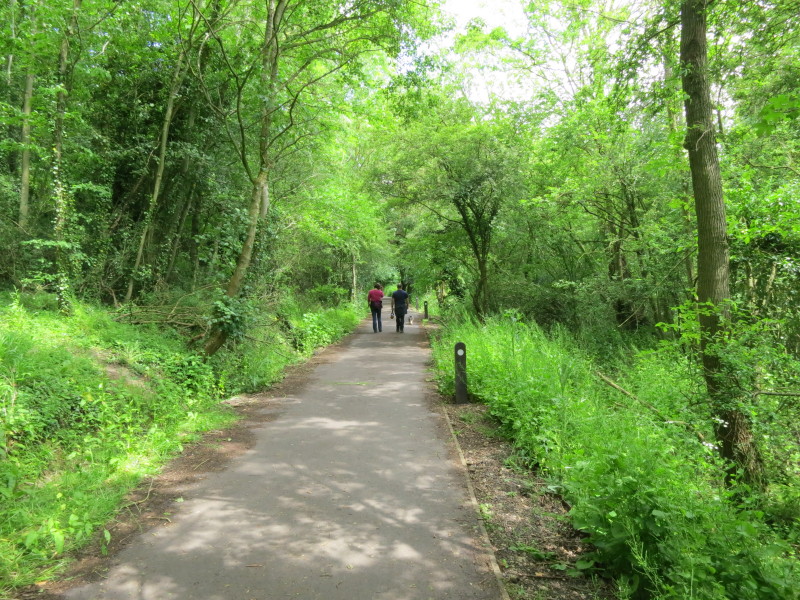
The route to St Ives is along the Thicket Path, a broad tarmac path
mostly in woodland, very busy on this pleasant Sunday afternoon with
families, dogs and many many cyclists, making it hard work managing
George and Lottie, keeping them safe and out of other people's way.
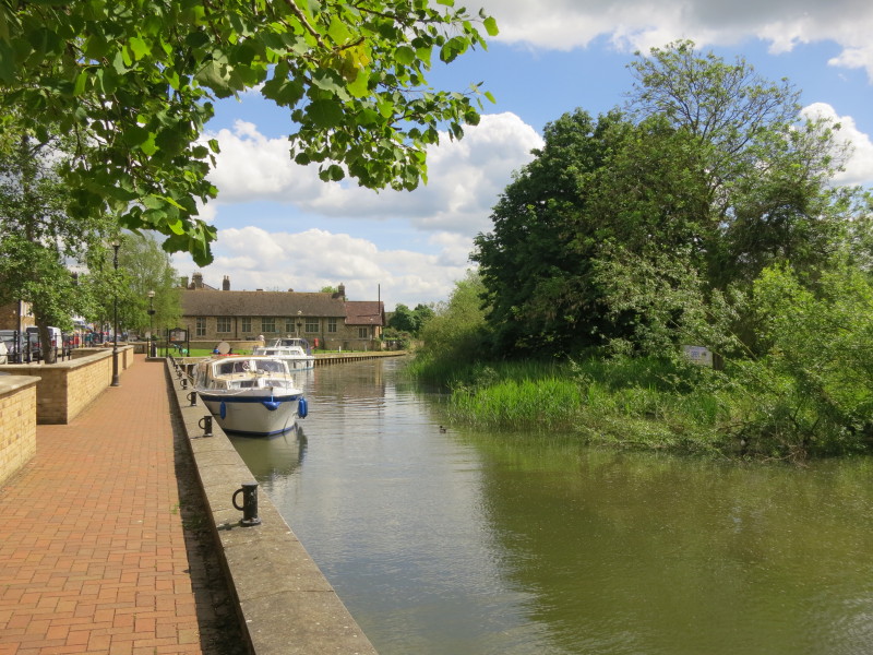
We reached the waterfront at St Ives, where I stopped for a late lunch
around 2.30pm. Ironically, having walked through countryside for almost
an hour, on reaching the town next to a road was the first place where
it was safe to let the dogs off the lead, and they mooched about while I
had my sandwich. Back on the lead we continued through St Ives and out
along the long Meadow Lane, changing from a modern well-maintained road
to a poorly maintained road where both the road and pavement were
underwater at times, to a dirt track.
Eventually escaping Meadow Lane, we finally reach the river, which we
walk along for a little way
We then turn away from the river towards the church at Holywell
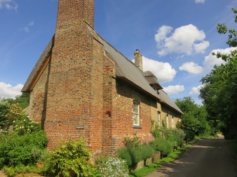
One of the many attractive cottages on Holywell Front
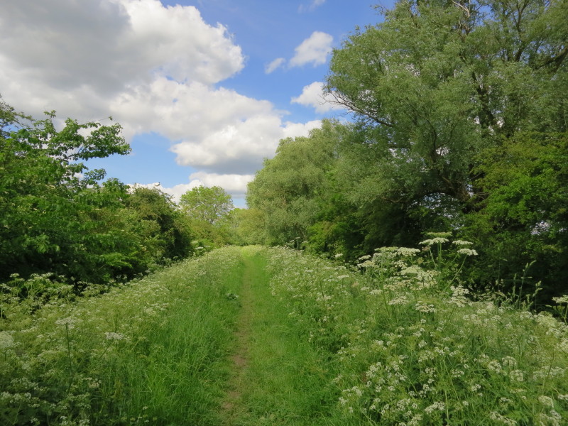
There is then a longish section along the top of an embankment but,
unusually for an embankment, with thick wooded hedges on each side.
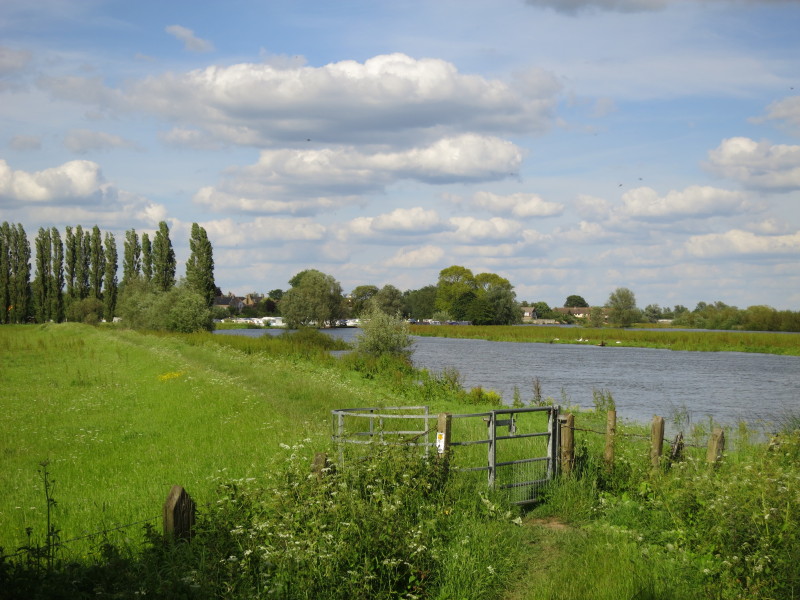
Returning to the riverside for most of the rest of today's walk, we pass
the site of the Overcote ferry - the car on the far side is on the
evocatively named Chain Road
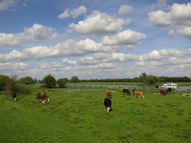
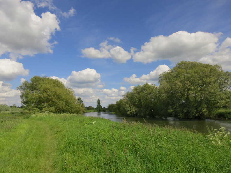
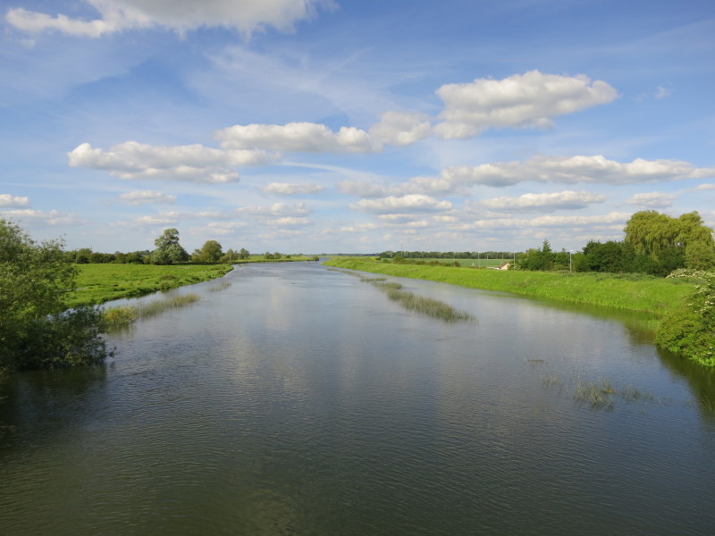
There's quite a bit of water still in the river, and there is water
between the main channel and the flood embankment.
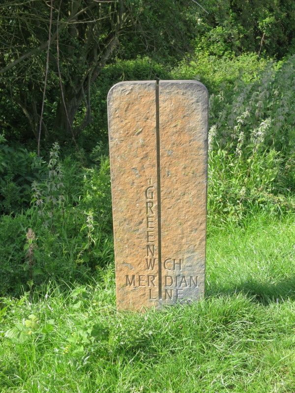
Passing the stone which claims to mark the line of the Greenwich
Meridian
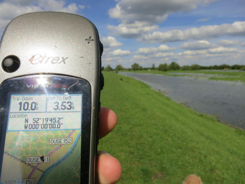
Though I had to travel a bit further before my GPSr agreed that I was
crossing into the eastern hemisphere - OpenStreetMap and Google Maps
agree that the sculpture may be a little too far west
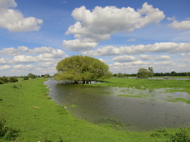
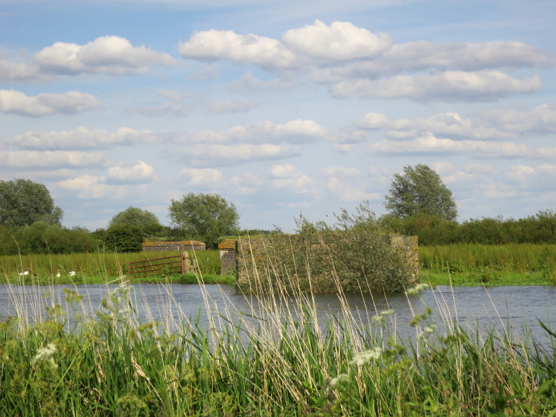
More evidence of the spreading river
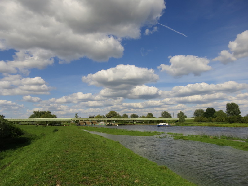
Approaching Brownshill Staunch, with the conveyor for moving sand and
gravel from one side to the other as part of quarrying operations.

Below the lock is officially tidal, and my map has a nominal 10cm fall,
but this afternoon the water levels is the same either side, but this
boater is still having to tie up and raise the lock gate which is
currently under water to allow his boat to proceed through - presumably
an interlocking mechanism prevents both gates being raised at once, but
today it would save a lot of effort and time.
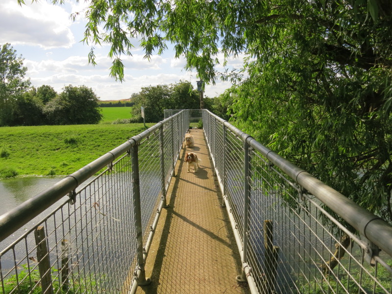
Returning to the western bank after our exploratory visit to the lock on
the eastern side
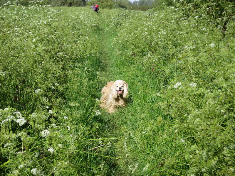
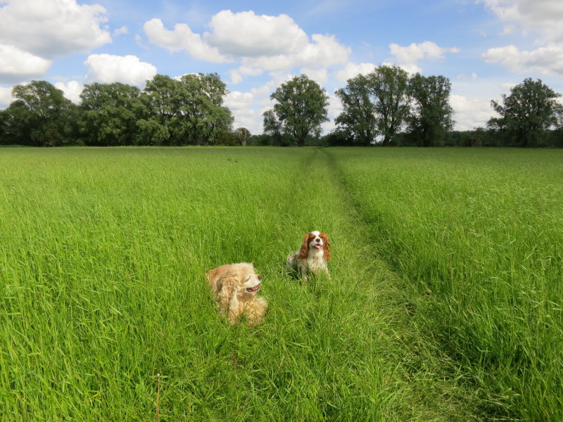
George in the vegetation as we make our way past Berry Fen
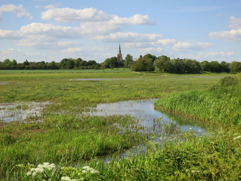
The tower of Bluntisham church across Berry Fen
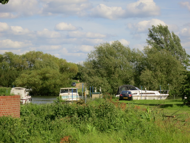
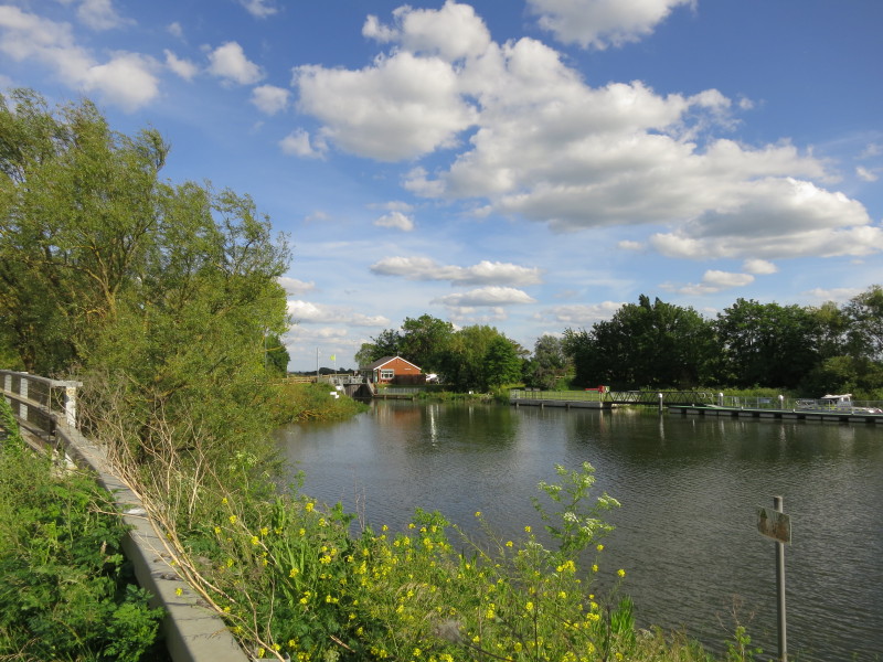
Ahead is the marina at Earith
The remains of the bridge which once carried the Great Eastern Railway
from St Ives to Ely
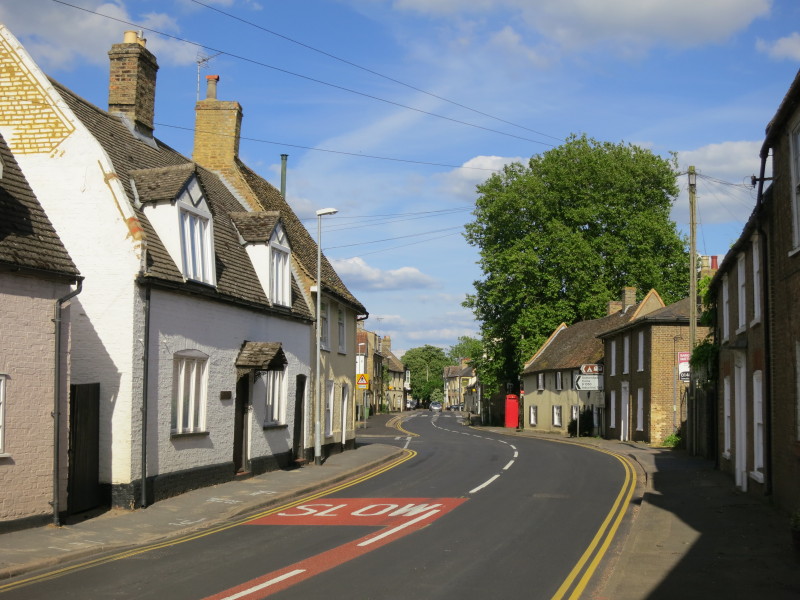
Walking through Earith
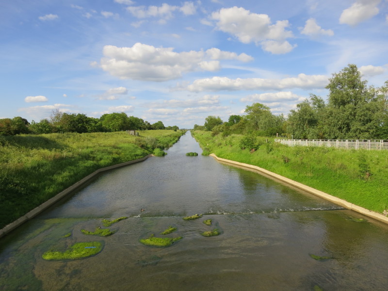
The Old Bedford River, built between 1630 and 1636 financed by the Earl
of Bedford, aiming to move much of the water from the Great Ouse out to
sea as quickly and directly as possible rather than being allowed to
flood the Fens from its natural course.
Hermitage Lock in the distance allows boats to lock down (sic) off the
tidal Great Ouse into the non-tidal Great Ouse, also known from this
point as the Old West River.
To the north runs the New Bedford River or Hundred Foot Drain. This was
completed in 1652 and carries most of the flow of the Great Ouse.
Total 15.4 km in 3 hours 57 mins.
|