Ridgeway - Nuffield to Chinnor
17 May 2014
I hadn't visited the Ridgeway since October 2012, but with a bit of help from
Lucy, today George, Lottie and I had a very pleasant walk, gradually getting
closer to Suffolk..
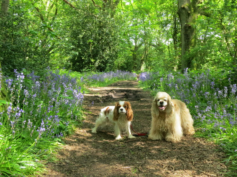
After leaving Lucy, Ellie and Hetty at Nuffield to do some geocaching, Lottie,
George and I have set off along the Ridgeway, with a crossing of Huntercombe
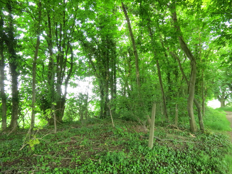
Golf Club and its bluebell woods
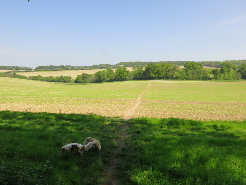
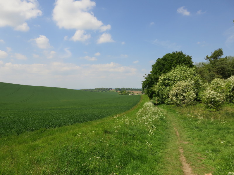
After a descent through more woodland, we emerge onto open fields
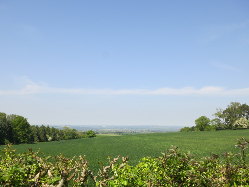
After the gain in height during the previous walk on the Ridgeway, we are now
well above the Thames valley - in fact we are on a spur at the foot of the
Chilterns which the Thames loops around, with Henley to our south-east and here
looking to the north-west towards Oxford.
Passing through the delightful Ewelme Park
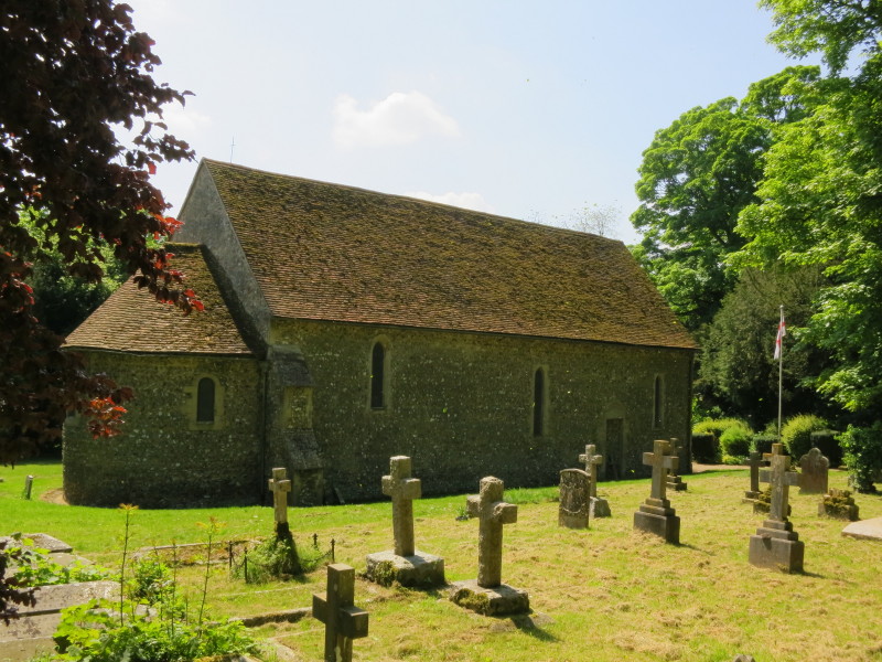
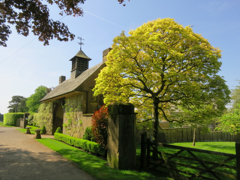
The little church at Swyncombe House
Heading towards North Farm, where the Ridgeway turns sharp right and regains
what may be regarded as its more historically accurate route, after the long
detour the modern route has taken since Mongewell by the Thames
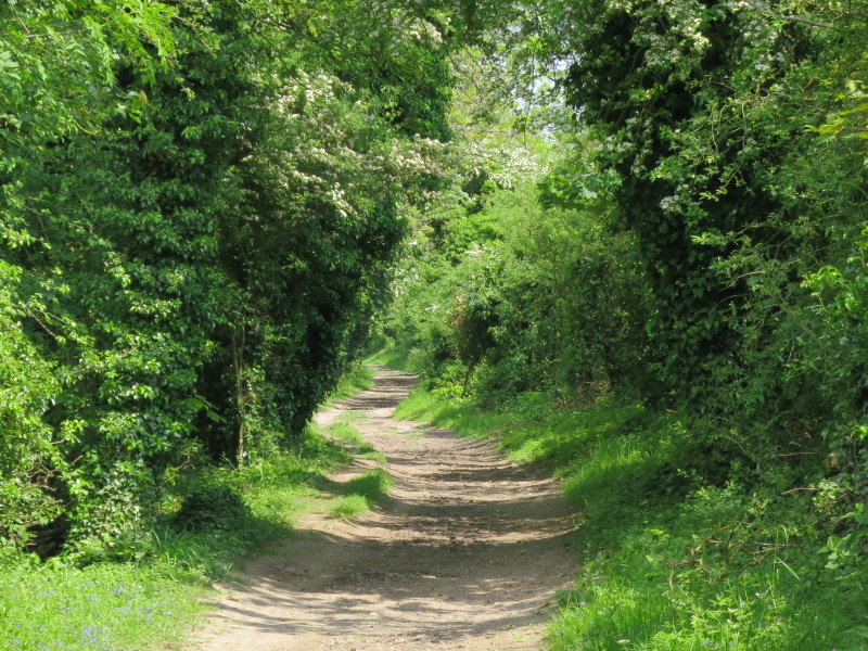
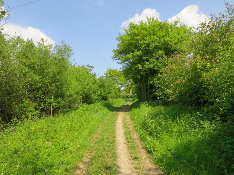
After a fair bit of up and down, the historic route is now regained and we have
a track with only modest gradients for the rest of today's walk
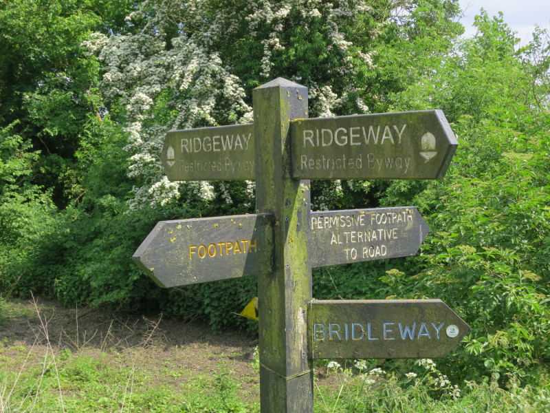
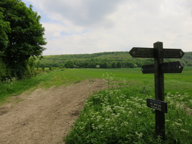
Our legal rights summarised for the various routes - in fact the post is missing
a sixth option, which is a private track. The "road" mentioned on the signpost
is actually the restricted byway, which despite its limited legal rights looks
like a tarmac road.
After a short lunch stop at the car, where Lucy had brought me a welcome
ice-cream, we continue along the old track, now gradually mellowing after some
years of a ban on motorised vehicles
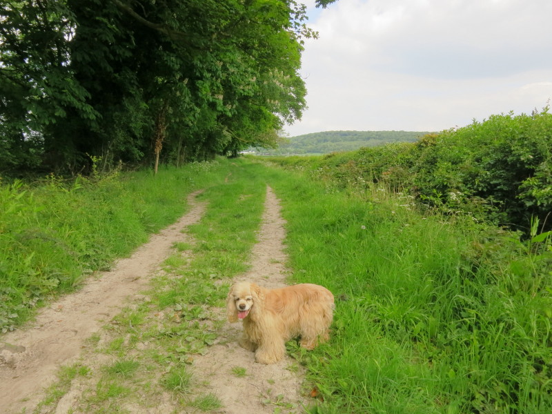
George is now over 12 but still going strong on these walks
Beyond the M40 and Beacon Hill, the Ridgeway runs alongside the route of a
dismantled railway, the former Great Western Railway branch from Princes
Risborough to Watlington, part of which now forms the heritage
Chinnor &
Princes Risborough Railway
From the Ridgeway, a look up to the escarpment of Juniper Bank - the original
London to Oxford turnpike took a steep route down the escarpment here via the
1718 Stokenchurch to Wheatley Turnpike Trust's route before being moved a little
to the south-west on the line of the current A40.
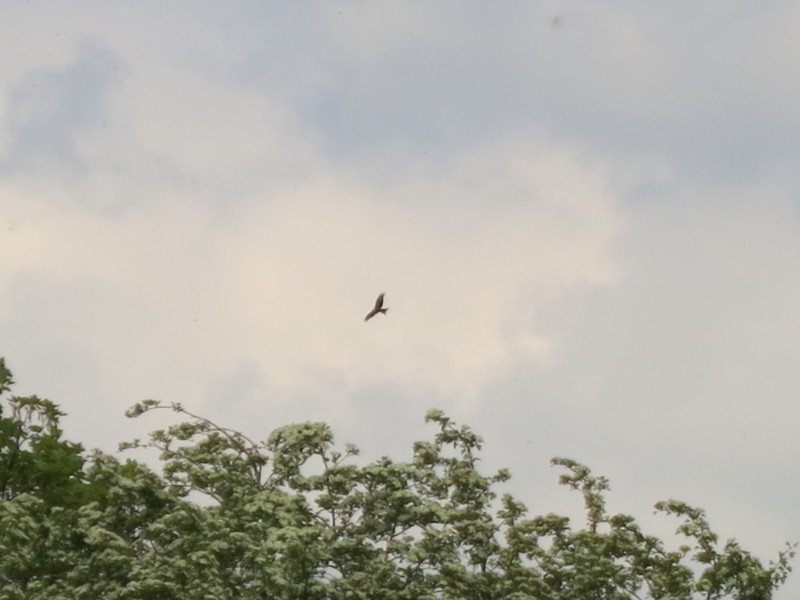 . .
Approaching Chinnor, is this a red kite in the sky?
Total distance 18.4 km and 314 metres of ascent in 5 hours 20 minutes (with a
little stop at lunchtime and a bit of geocaching) - that means we're
about 73% of the way to Ivinghoe Beacon, and two walks of similar length to
today's will see this National Trail completed.
 
|