Black Country Ring (plus a bit):
Fradley Junction to Stafford
11 June 2009
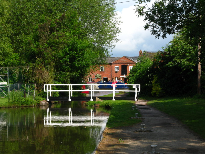
Thursday morning dawns bright and sunny, and after a little visit to the
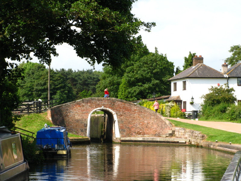
shop, the first job is to open the swing bridge
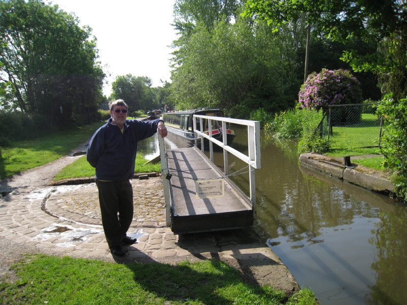
Alan takes care of the swing bridge...
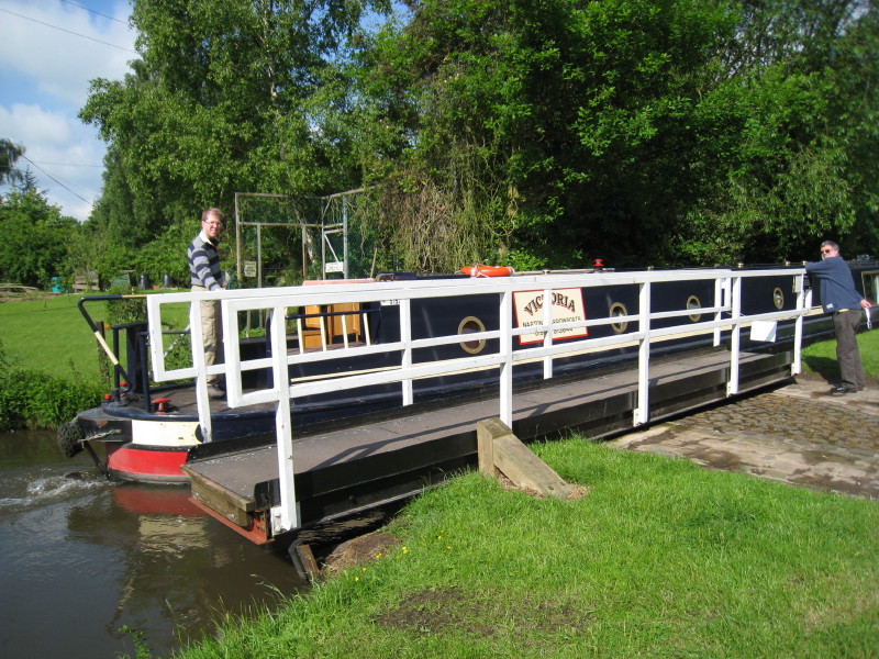
...while Stephen brings Victoria through
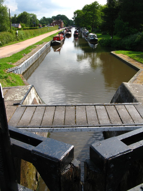
After the junction taking us onto the Trent and Mersey Canal, there are
then two locks
Lucy getting the lock ready
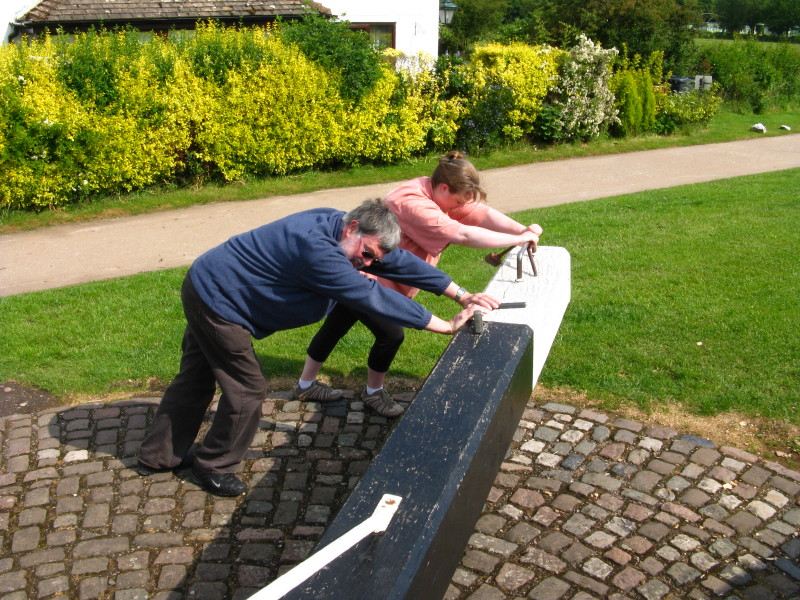
Alan and Helen hard at work
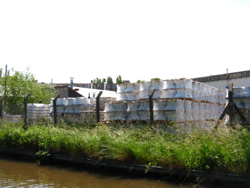
Later, we pass Armitage, the site of the Armitage-Shanks factory
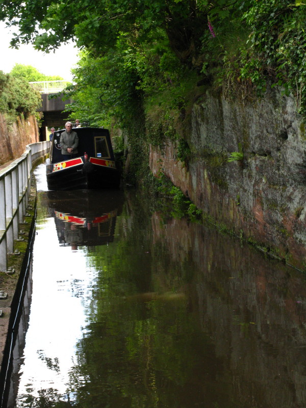
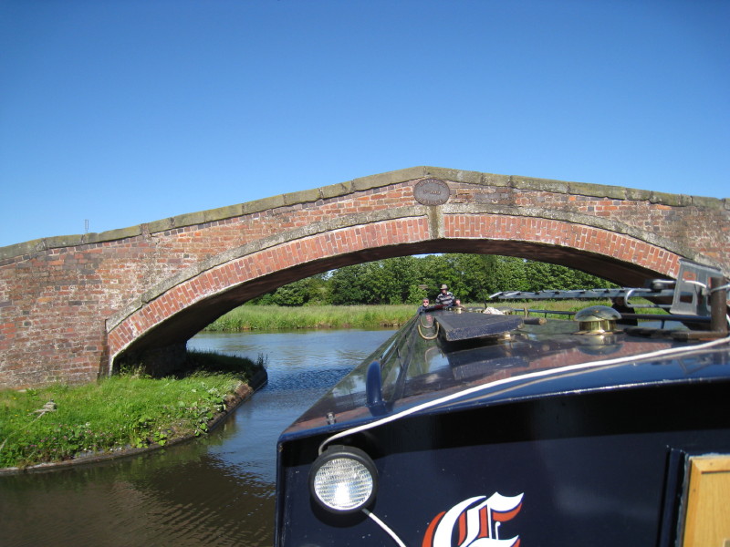
There is a narrow section here where there used to be a rocky tunnel -
it is necessary to send a crew member on ahead to scout the route, as
the approach is on a bend
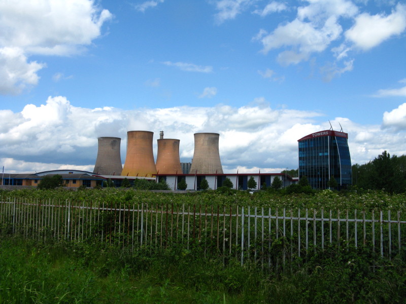
Rugeley power station, with in front of it the business park built on
the site of the colliery that once supplied the power station with coal,
now mostly imported.
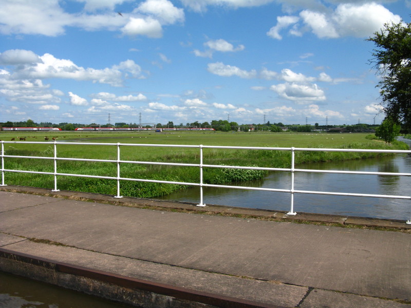
Crossing the River Trent, with two Pendolinos passing in the background
We continue our gentle rise up the Trent valley
An interesting building to be identified
Turning off the Trent & Mersey Canal onto the Staffs & Worcs Canal
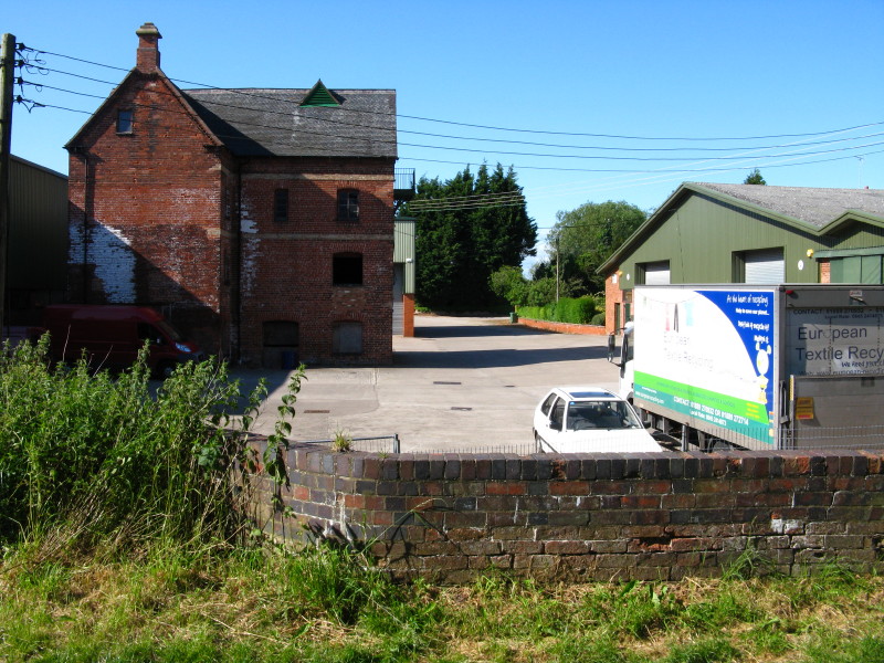
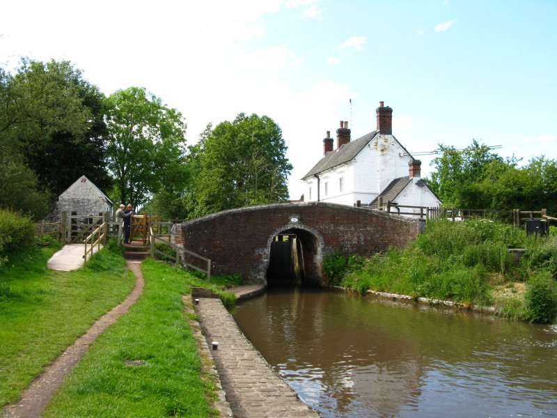
An old mill with an aqueduct over what used to be the mill stream, but
which now appears to be water-free
And crossing the Trent for the second time this afternoon
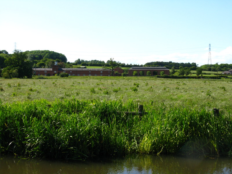
What looks like a large stables
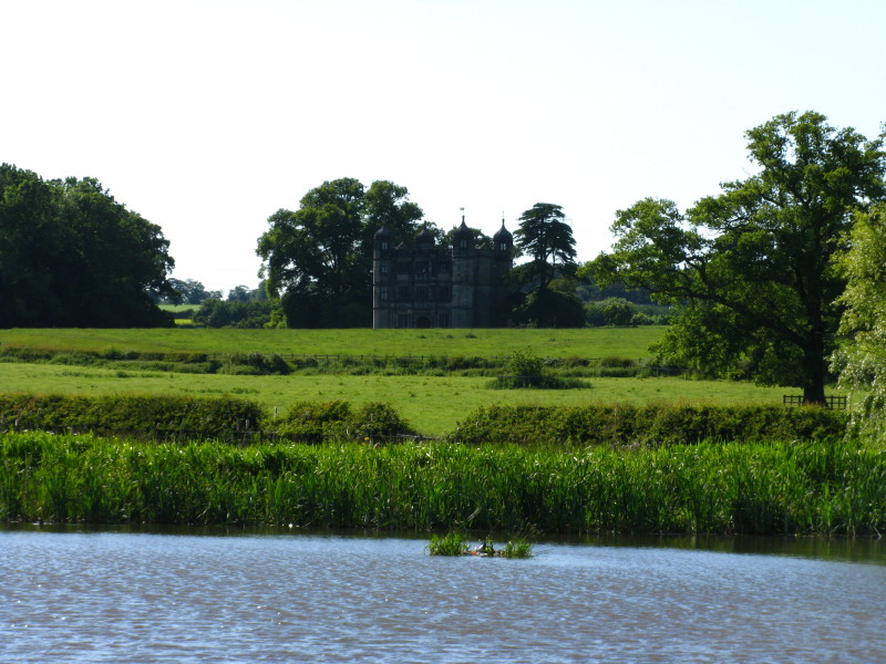
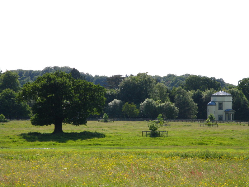
And the gatehouse to Tixall Hall, the hall itself now having been
demolished
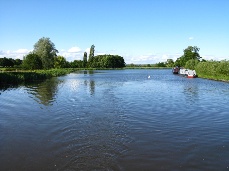
Tixall Wide, where the canal grows unnaturally wide - it is speculated
that it was built like this to satisfy the owner of Tixall Hall and
create a feature out of what would otherwise have been regarded as an
eyesore running across his land
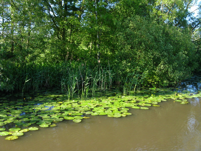
There are quite a lot of lilies around here
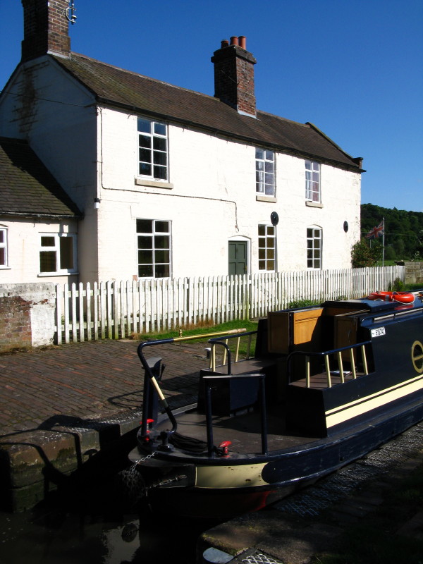
Ascending the Staffs & Worcs. This canal cottage has no road access and
can only be reached by boat.
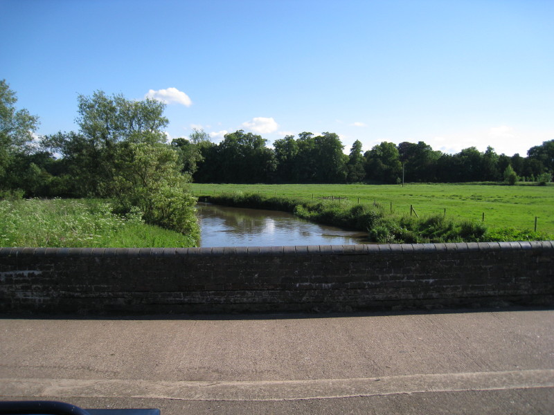
The aqueduct over the River Sow
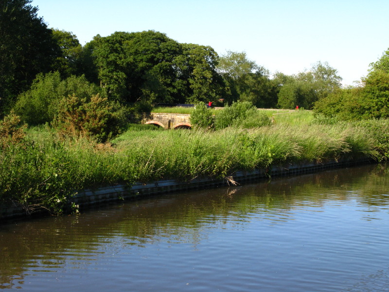
From a distance, the Sow Aqueduct as our boat crosses it
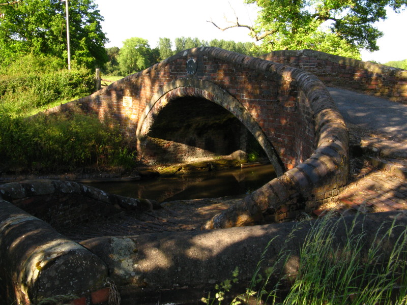
A graceful turnover bridge, used to allow the towpath to cross from one
side of the canal to the other without requiring the horse to unhitch
the towing rope
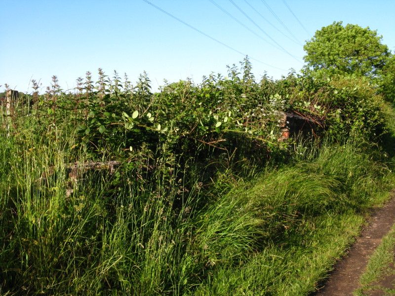
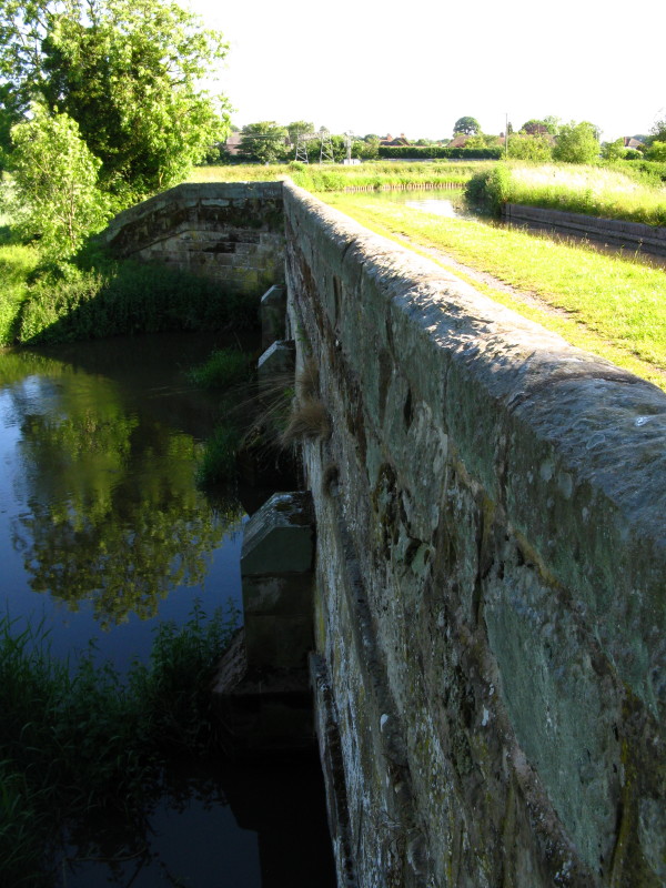
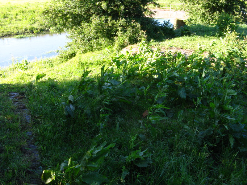
There was once a short arm from the Staffs & Worcs which took boats over
the River Penk and then down into the River Sow, which was canalised
into Stafford. Here in the undergrowth can just be seen the remains of
the abutments of the bridge which carried the mainline's towpath over
the branch.
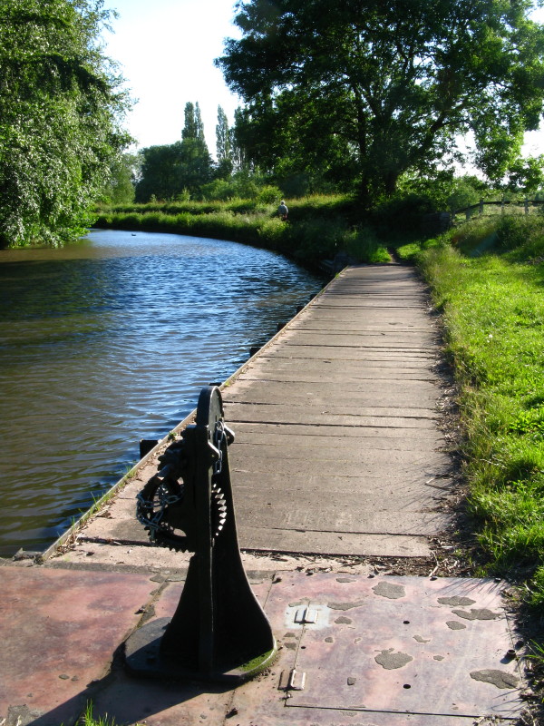
The overspill weir which now occupies the site of the junction
On the left of the picture can be seen the remains of the retaining
wall, with one on the other side approaching as the channel narrowed to
cross the vanished aqueduct over the Penk.
We moored by Radford Bridge and visited the carvery there, which was
remarkably good value.
Total for today: 17 miles, 1½ furlongs including 6 locks
|