Easedale Circuit
Easedale Tarn, Blea Rigg, Codale Tarn and Tarn Crag
30 December 2007
With a forecast of cloud bases around 500 to 600
metres, I decided to do another walk from Grasmere - that seems to be a
bit of a theme recently, but there is lots of nice walking from here, at
not too high a level.

As we descend the Red Bank road, there is some cloud lying rather lower than 500
metres, but hopeful signs of sunshine too.
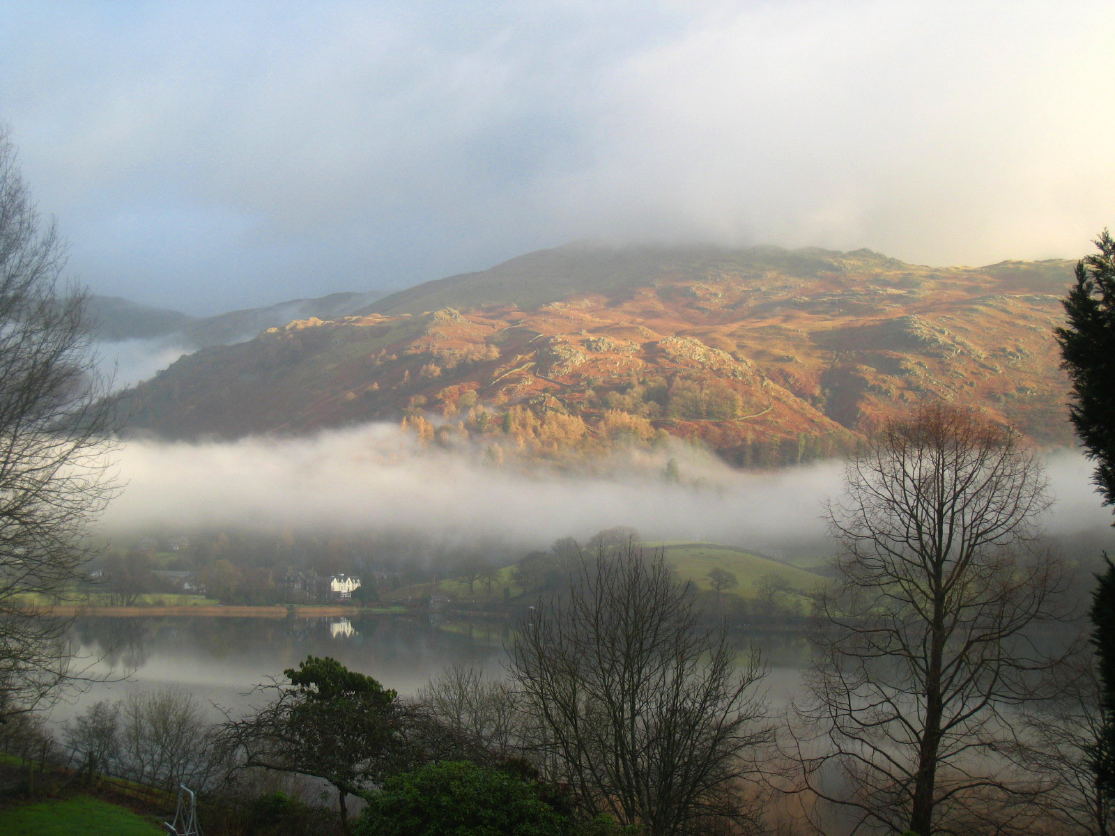
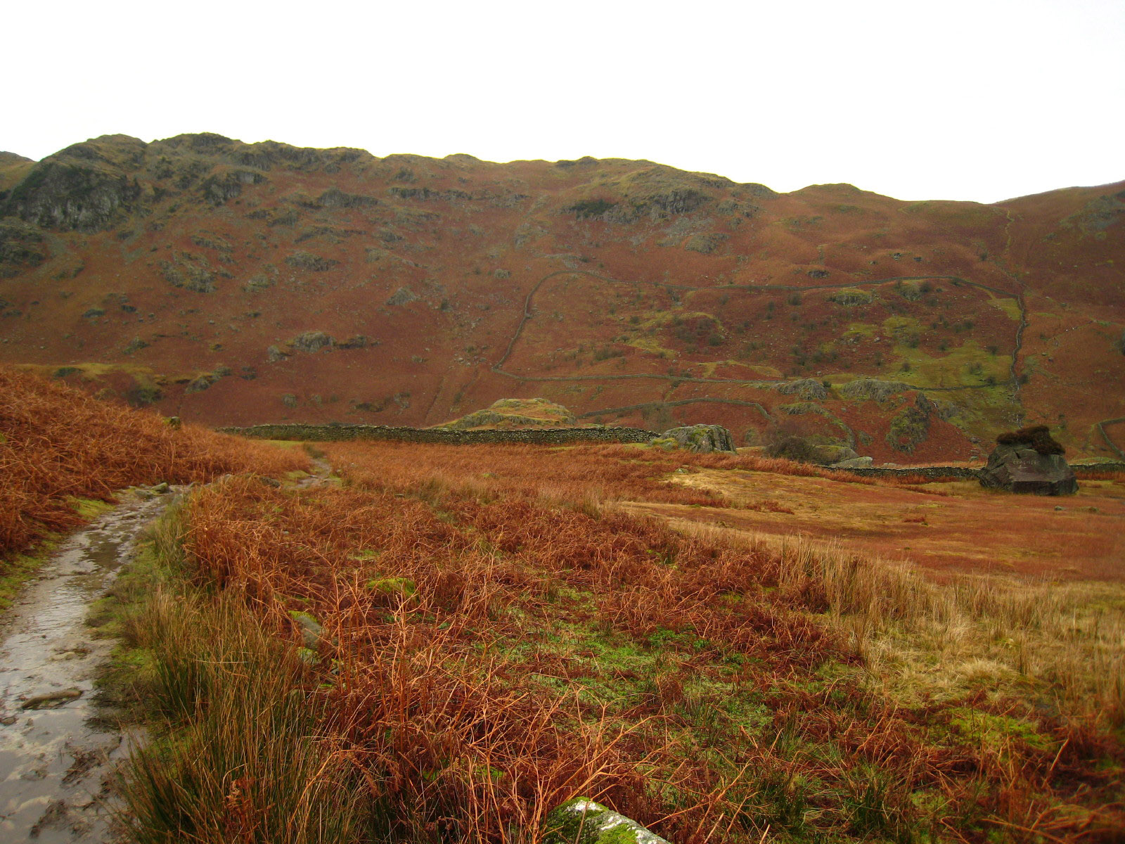
As we walk along Easedale, the cloud seems to be getting thicker rather than
otherwise, but unlike yesterday there is no rain. In the distance on the right
can be seen the first glimpses of the white water of Sour Milk Gill as it
descends from Easedale Tarn
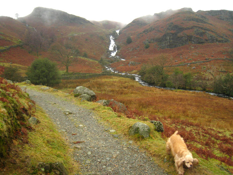
Continuing our route along Sour Milk Gill, the waterfalls get closer.
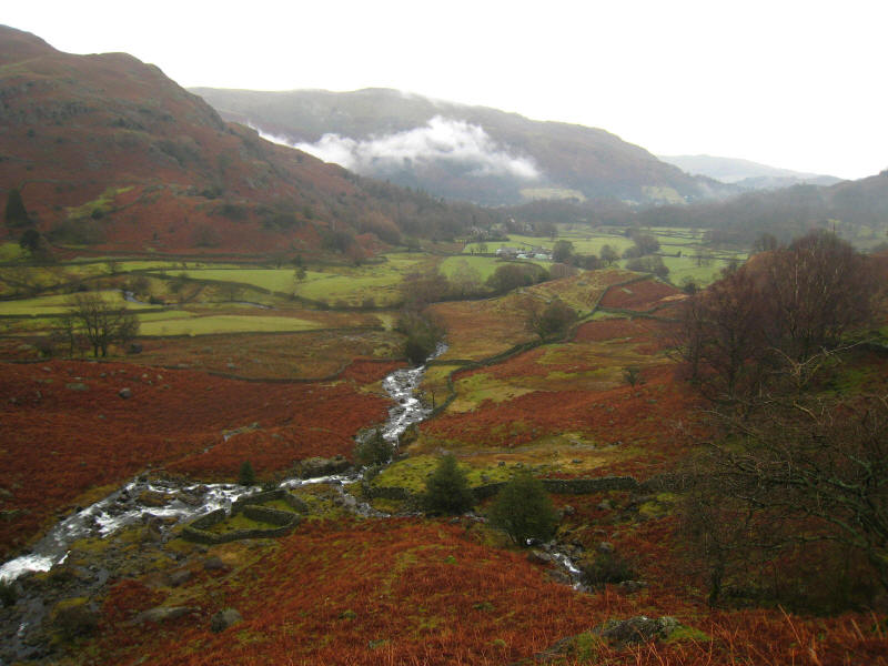
A view back down Easedale to Grasmere
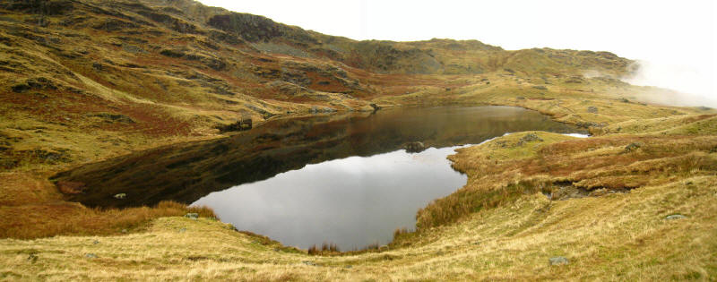
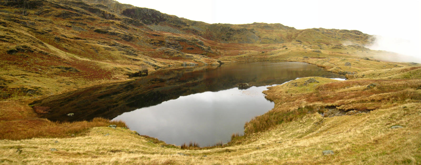
A panoramic view of Easedale Tarn as we begin the ascent onto Blea Rigg.

As we continue the ascent onto Blea Rigg, a look across Easedale to the gentle
snow on Sergeant Man (the blob on the horizon near the left) and the eastern
slopes of High Raise.

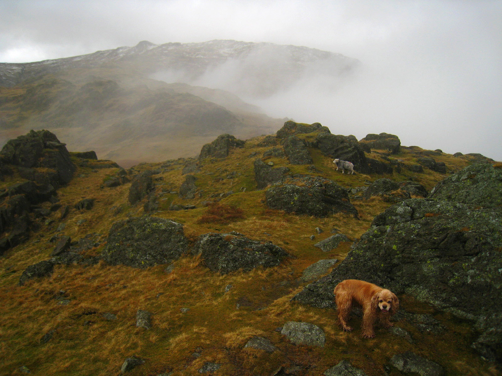
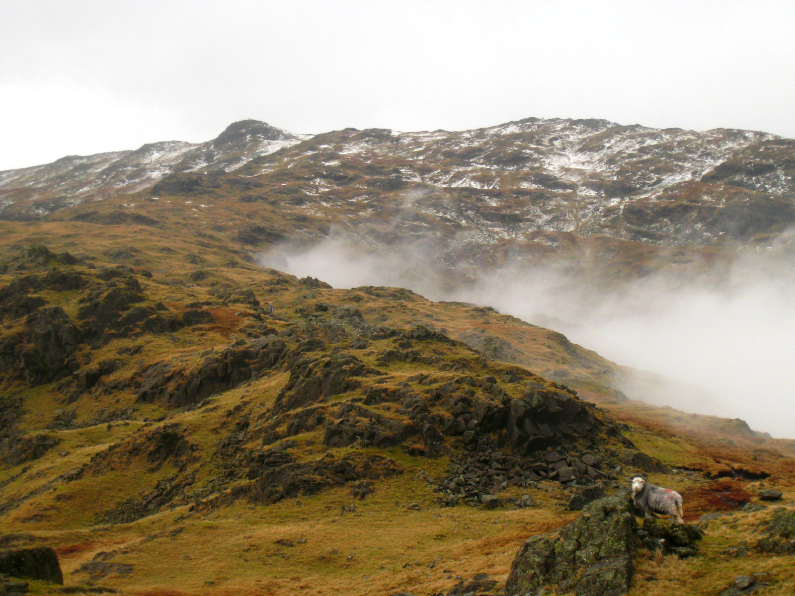
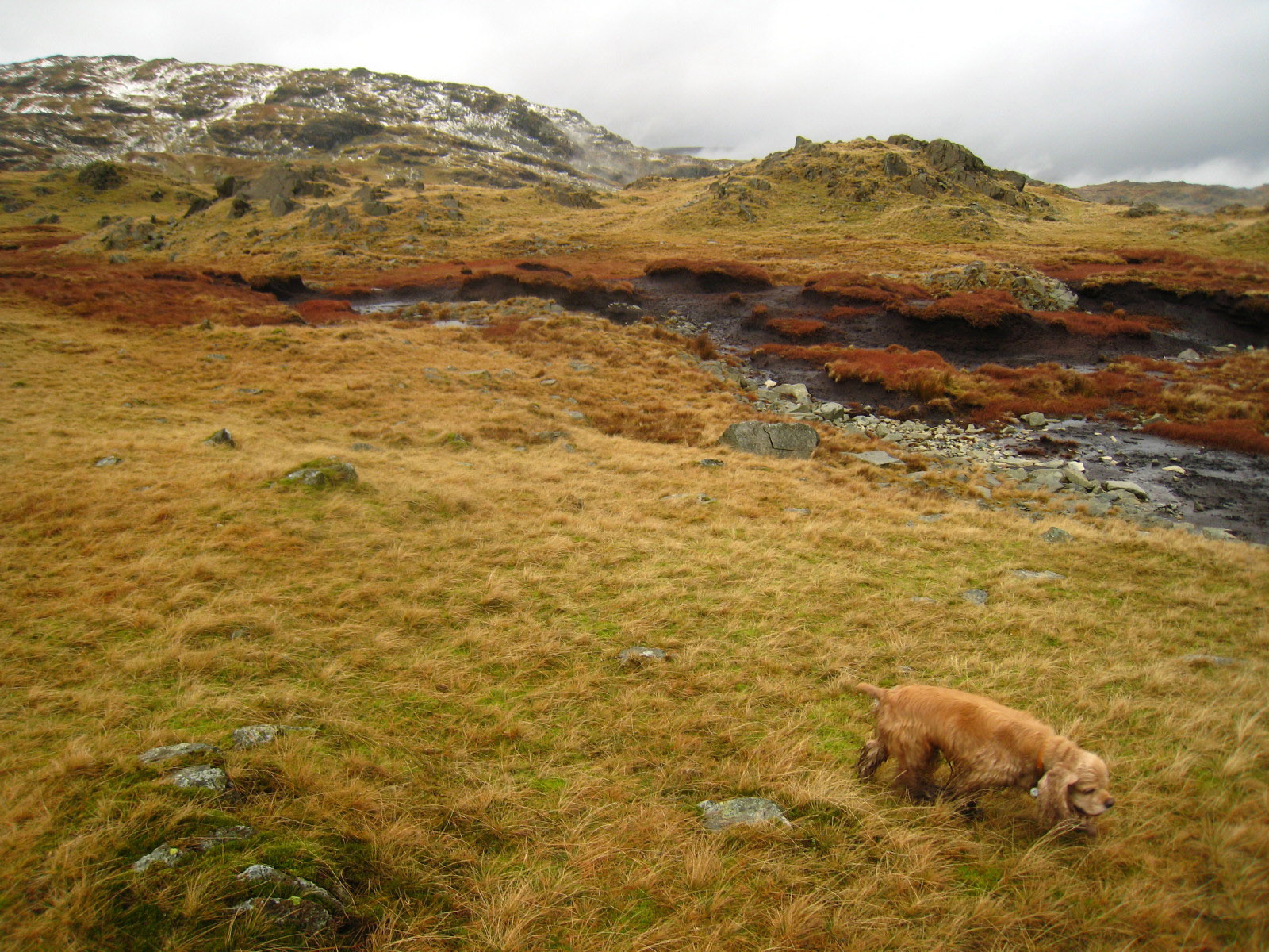
From Blea Rigg, past George and a sheep to Sergeant Man and High Raise again
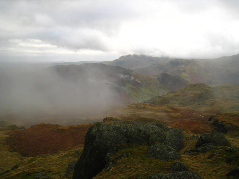
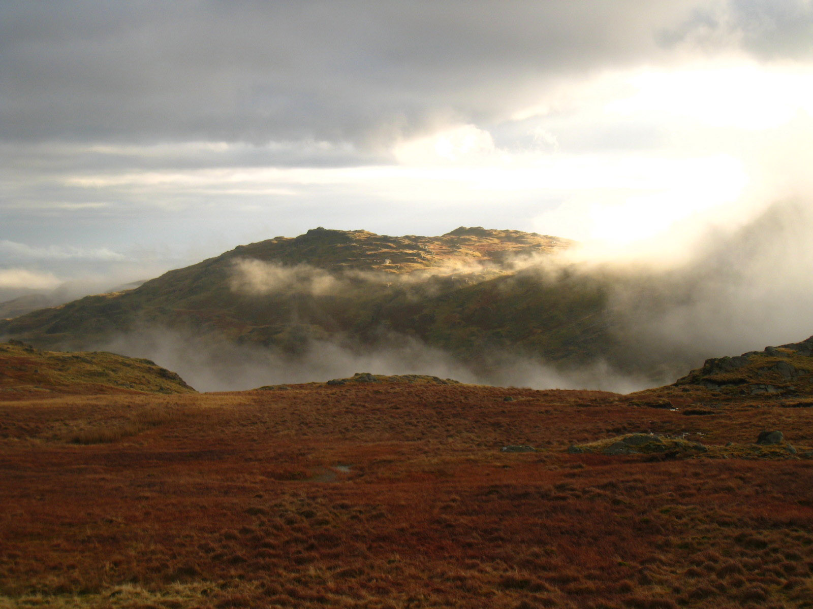
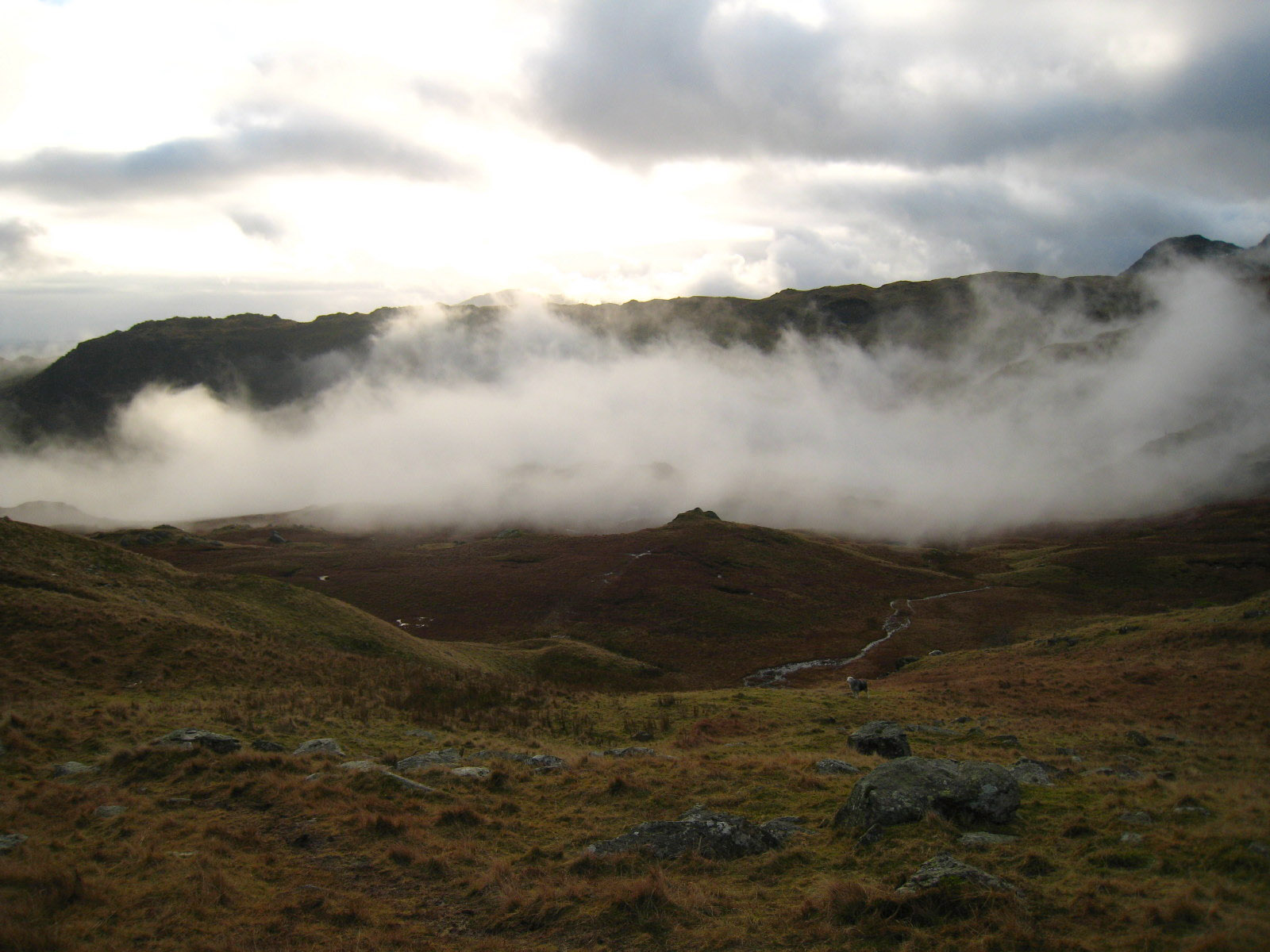
The mist managed to be persistent and lower than predicted, but broken enough to
be atmospheric and allow intermittent views. Here we look across Great Langdale
to Lingmoor Fell (centre-left), and over the unseen Blea Tarn to Wetherlam in
the distance. Glimpses of the sea could be seen in the far distance.
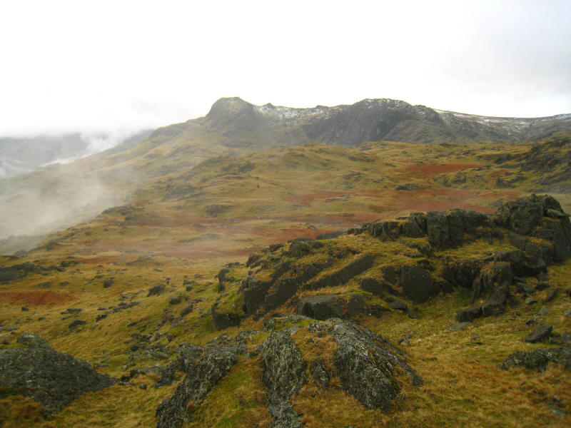
Some of the Langdale Pikes - Harrison Stickle on the left and Pavey Ark on the
right.
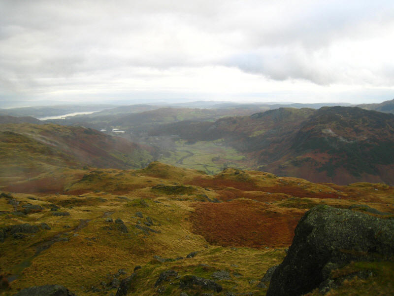
Looking down Great Langdale past the puddles of Elterwater to Windermere, with
the sea in the distance.

A close-up of Windermere

A close-up of Harrison Stickle and Pavey Ark

Sergeant Man. Our way lies along the ridge for a little way, then turn right
towards Codale Tarn

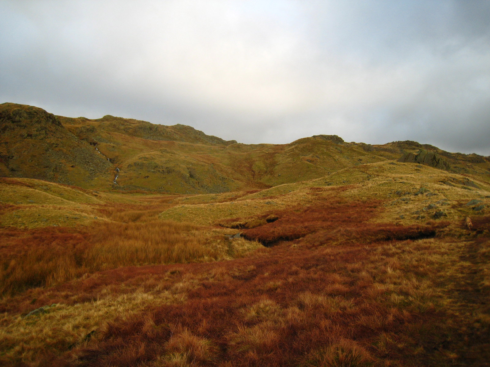
Striking off the main path along the Blea Rigg ridge, our first minor obstacle
is a peaty stream bed.

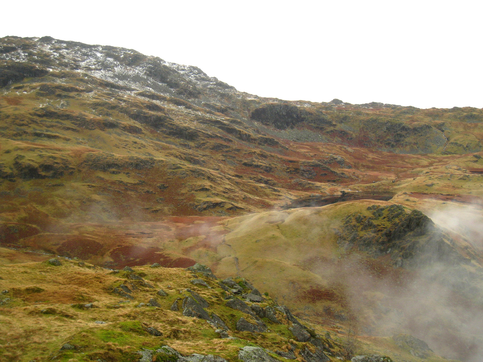
Our first view of Codale Tarn
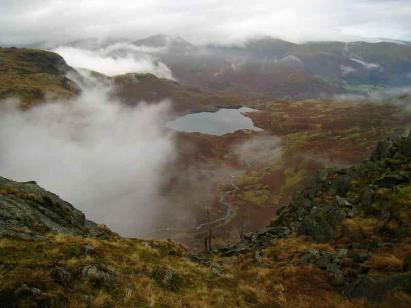
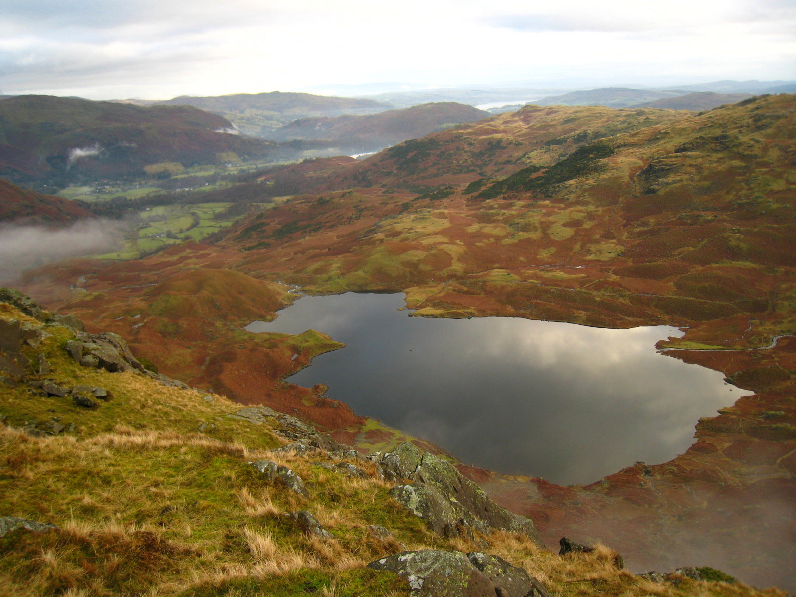
Looking down on Easedale Tarn

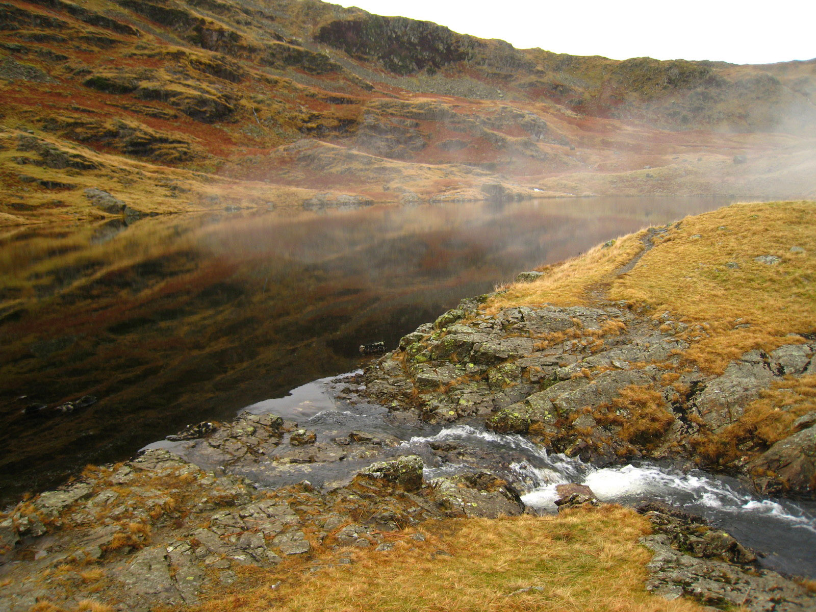
Codale Tarn, and its delightfully tiny outflow.
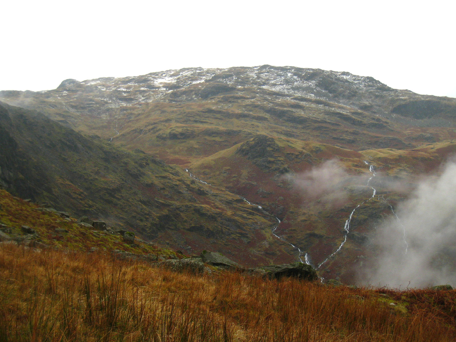
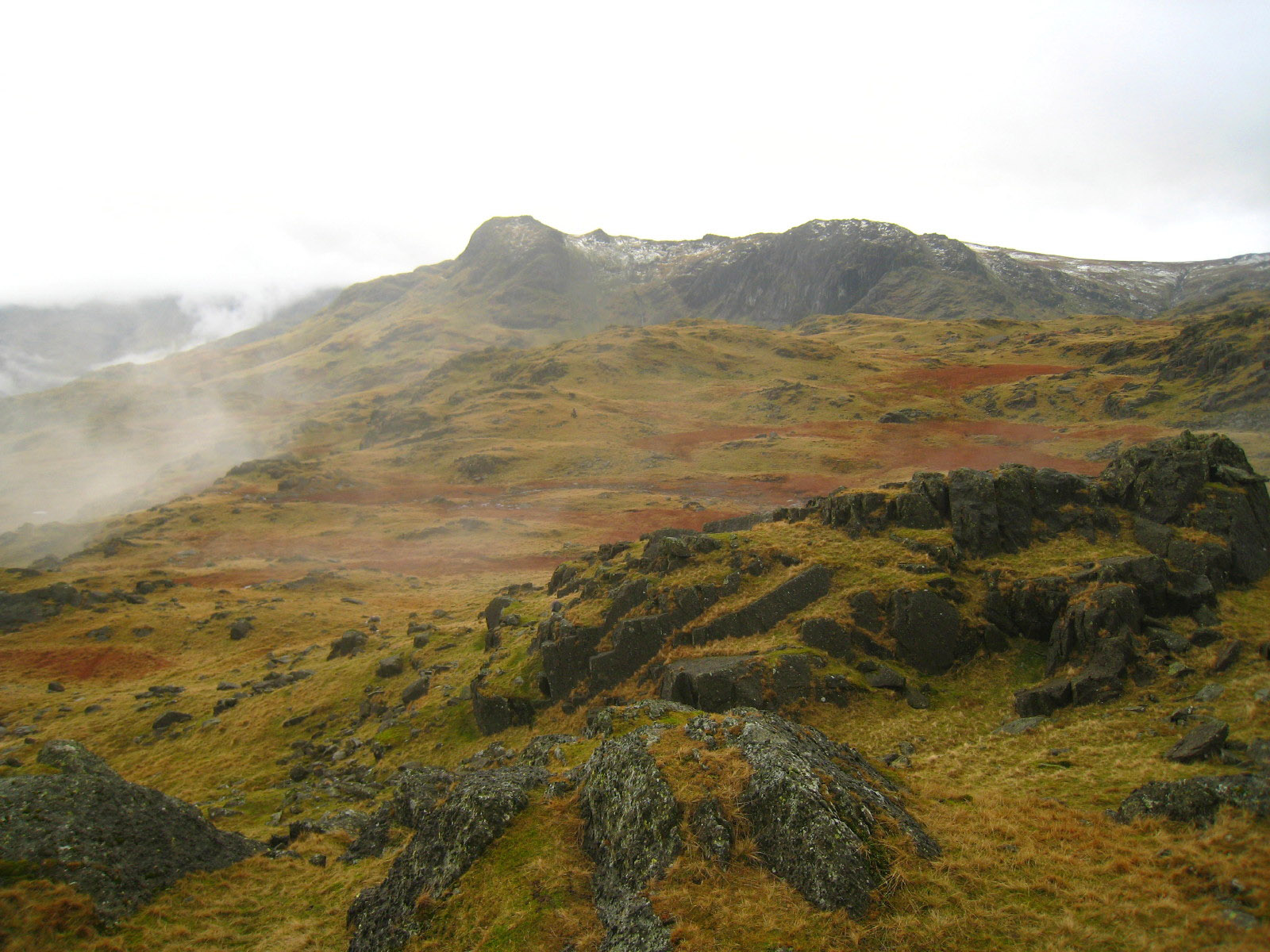
Looking up onto the Tarn Crag ridge

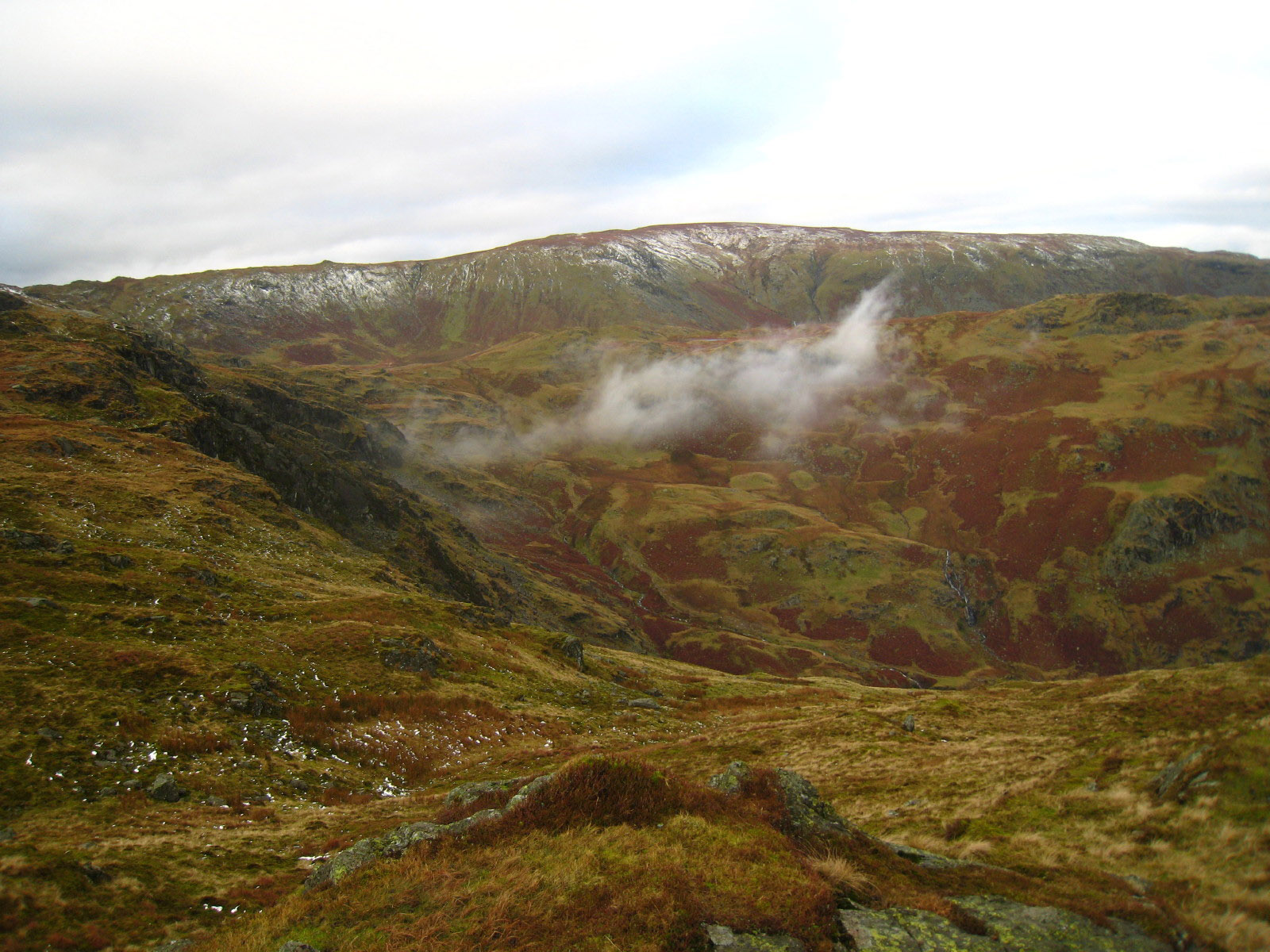
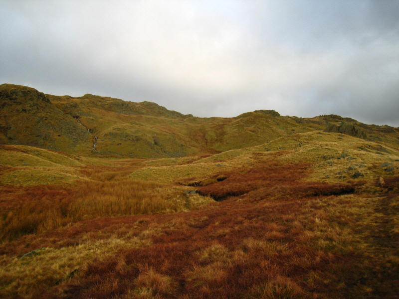
Looking across Easedale to the Blea Rigg ridge
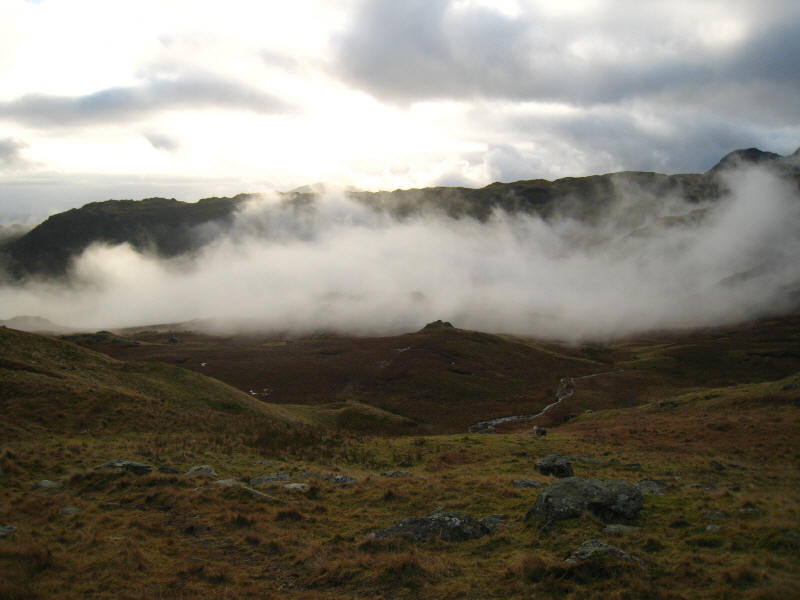
Mist in Easedale
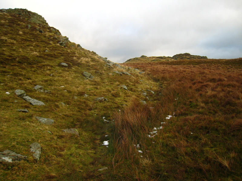
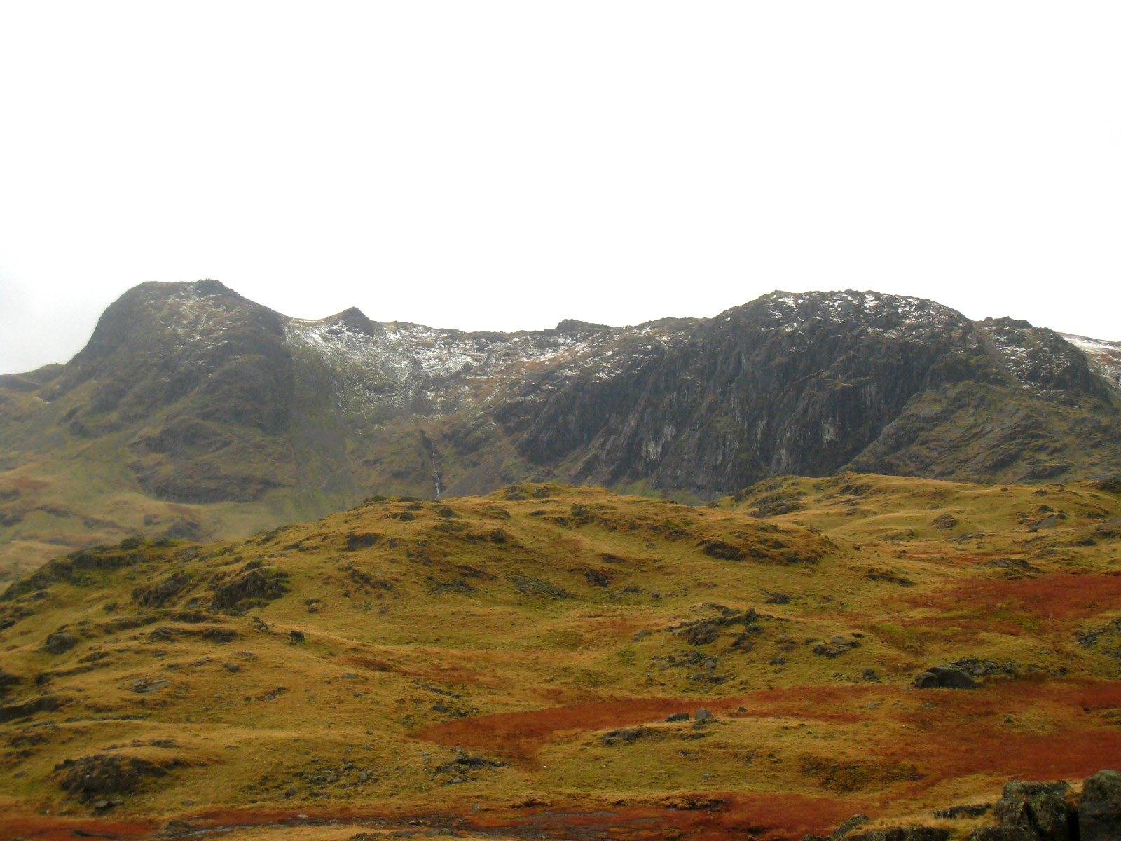
The only snow we saw on our route today

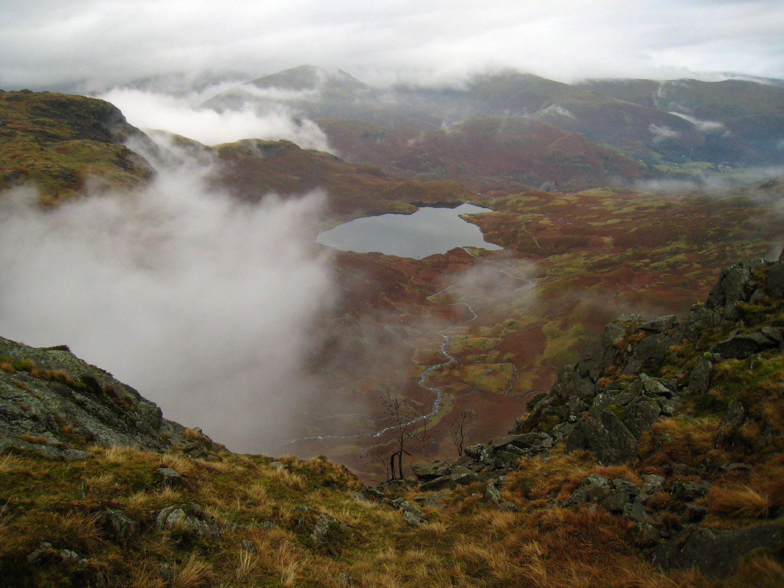
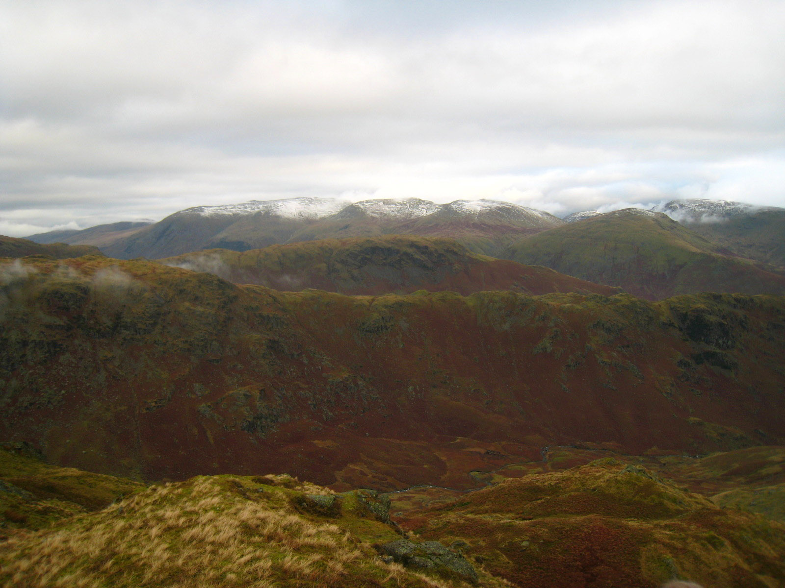
From Tarn Crag, looking across Far Easedale to Greenup Edge
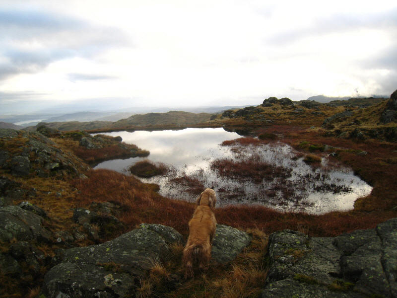
George inspects a small tarn on Tarn Crag
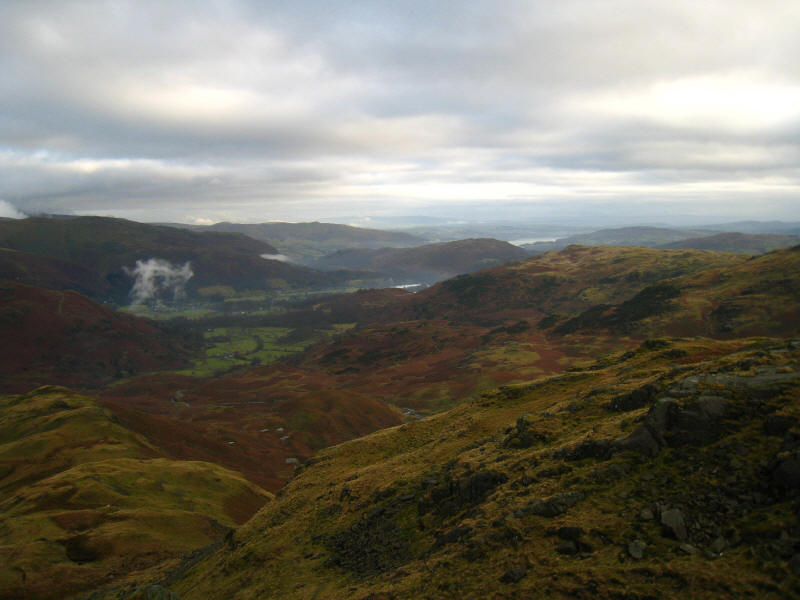
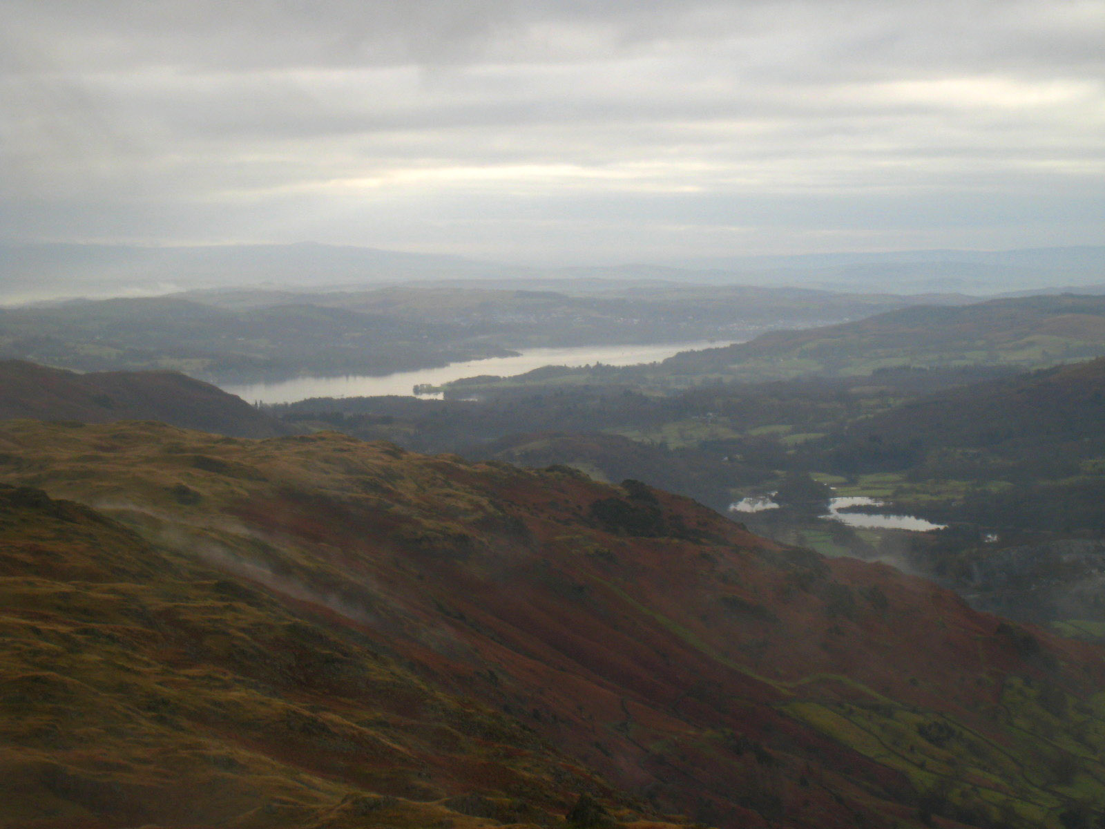
Looking down Easedale to Grasmere, with a section of Windermere visible beyond

North-east to the Helvellyn/Fairfield massif, finally emerging from cloud as the
day progresses
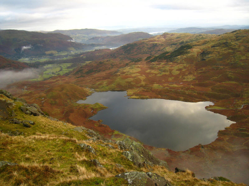
Looking down on Easedale Tarn from near the top of Tarn Crag

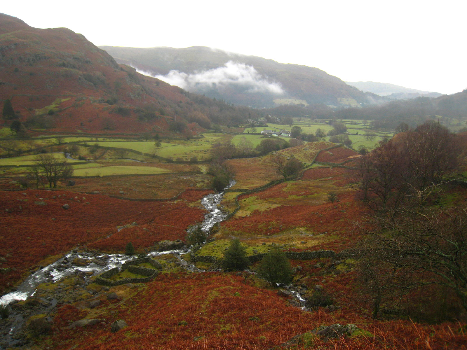
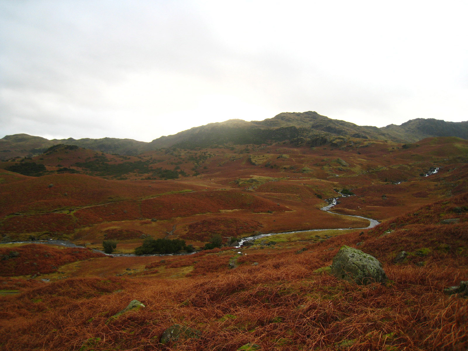
Sour Milk Gill as we descend along the ridge from Tarn Crag that separates
Easedale from Far Easedale
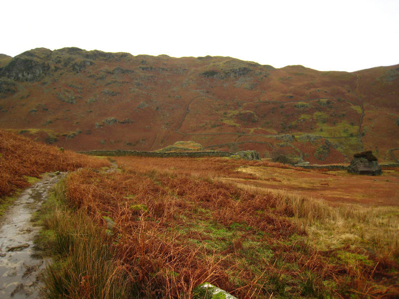
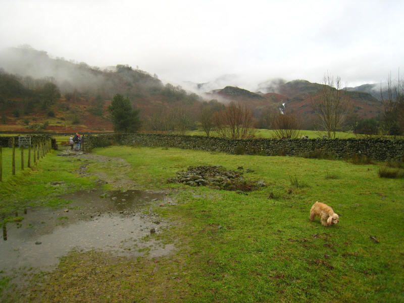
We turned left at the bottom of the ridge, and walk into Easedale. The big rock
on the right has the word "Grasmere" painted on it, with a arrow pointing left:
clearly many people attempt to take a short cut here, but the path, and
importantly the bridge over Far Easedale Gill, lie almost north when Grasmere is
south-east.
A lovely walk. Although there was slightly more mist than I had expected, it
didn't spoil the walk at all.
Total distance 13.36 km and 679 metres of ascent in 4 hours 39 minutes
Lake District holiday, December 2007
|
|