Torver Common
Bleaberry Haws, High Pike Haw and old quarries
31 December 2007
With heavy rain forecast for the whole afternoon, a
shortish morning walk was in order, and with cloud lower than yesterday,
a low level one too. A perusal of the maps drew attention to two little
summits on Torver Common that I hadn't visited before, with also
presented the opportunity to visit a big hole!
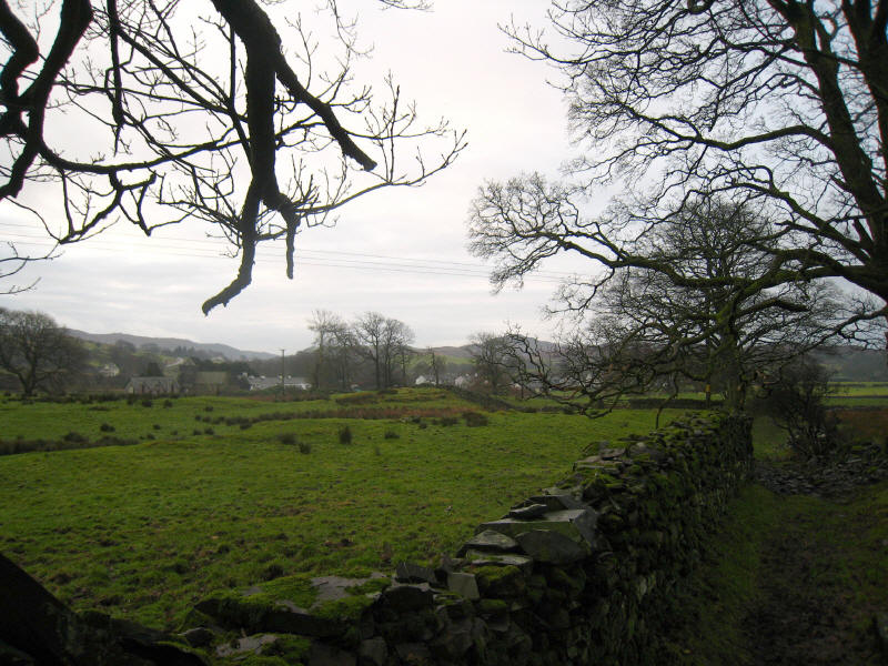
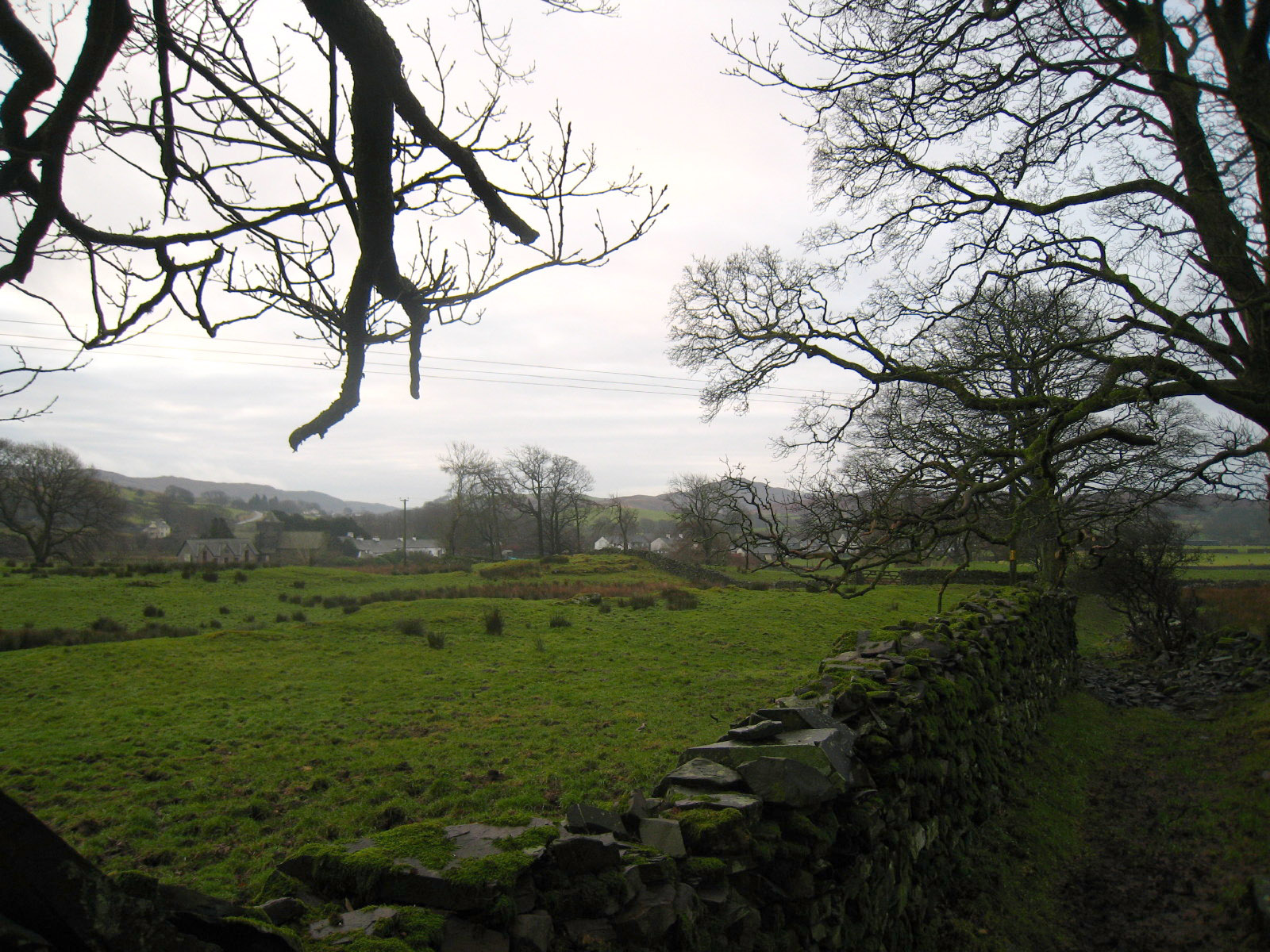
Torver across the fields as we start our walk from the bridge over Torver Beck
Climbing through High Torver Park
A glimpse of Coniston Water as we emerge from the trees
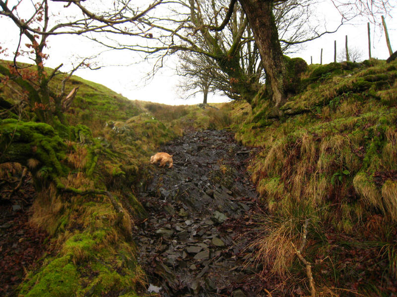
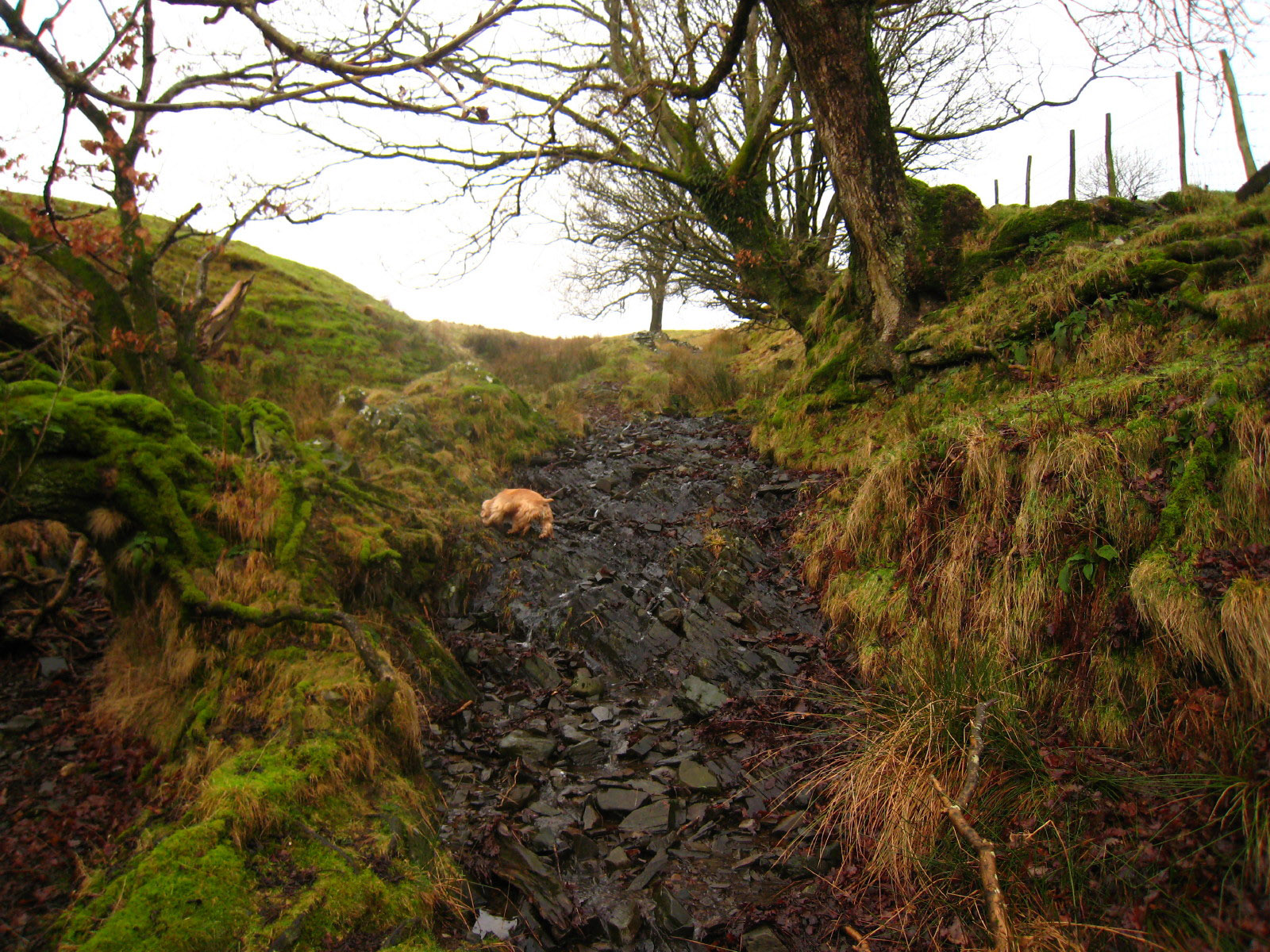
Much of the path up the fell side was a stream bed
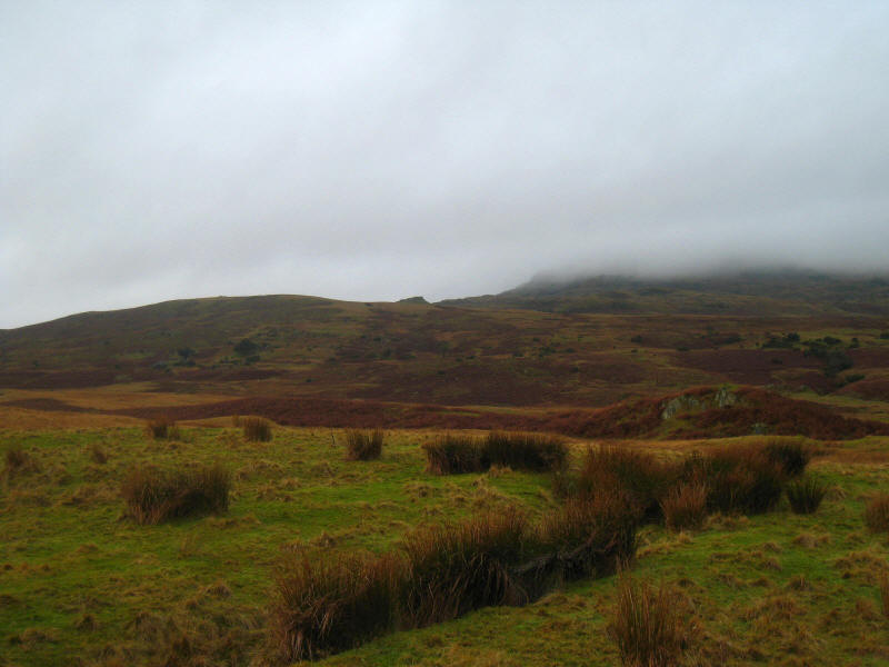
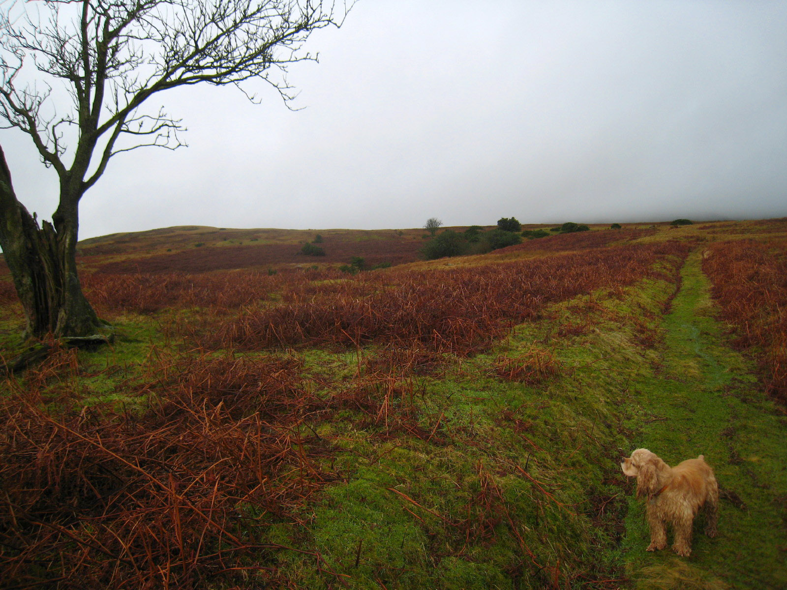
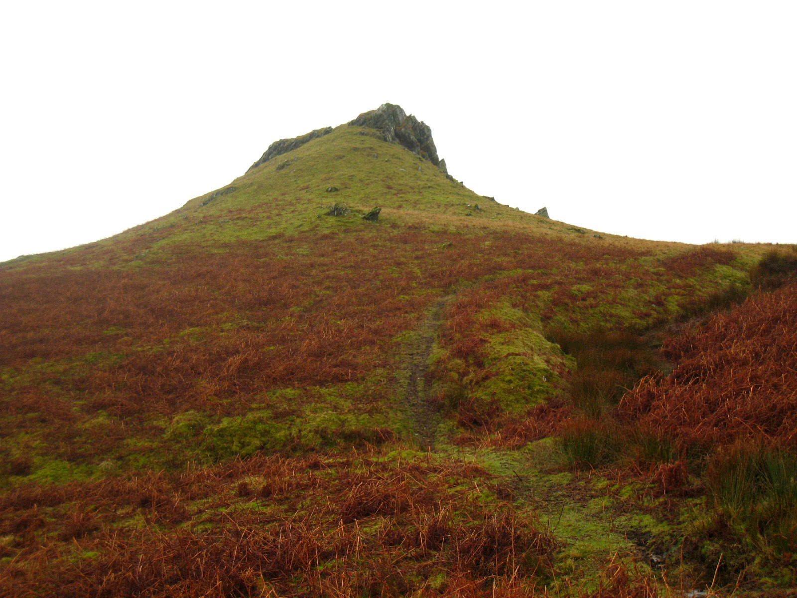
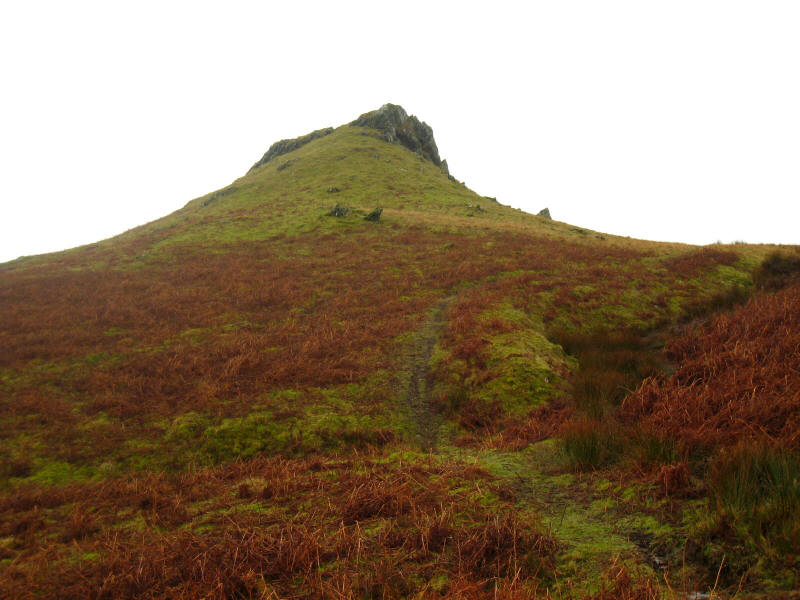
On the left, the rounded skyline is Bleaberry Haws; the peak in the centre is
High Pike Haw. The crossing of Bull Haw Moss was, as might be expected from the
name, rather damp in places, and there was little evidence of the stepping
stones promised by the map, but I managed to keep dry feet - which is more that
can be said for George!
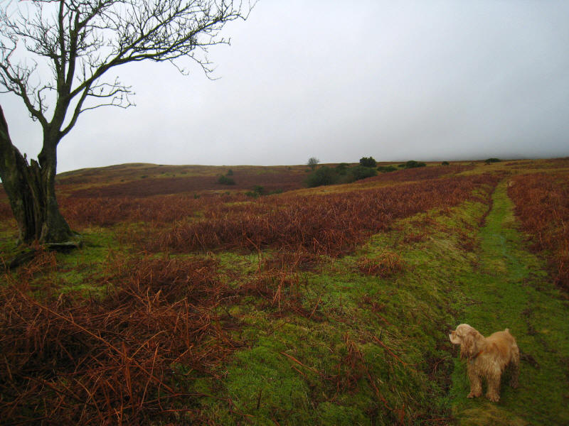
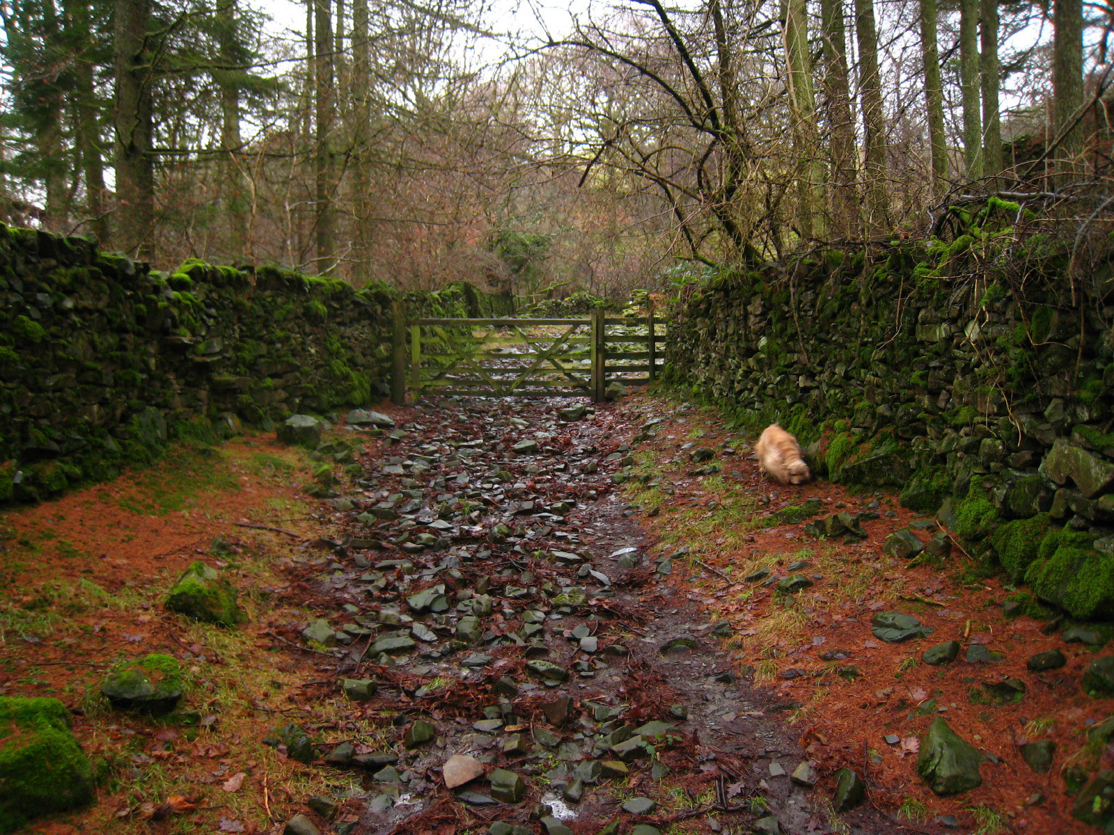
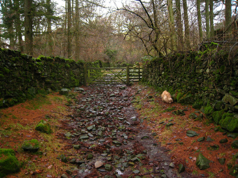
George drying out a bit as we ascend a pleasant grassy path towards Ash Gill
Quarry

Ash Gill with some of the spoil heaps from the quarry on the right. Here we left
the path and struck off across moorland directly towards the summit of Bleaberry
Haws.
Although the photo doesn't show the elevation very well, this ring is clearly
the remains of some ancient structure. High Pike Haw can be seen on the left,
with White Pike, White Maiden and Walna Scar disappearing into the cloud.
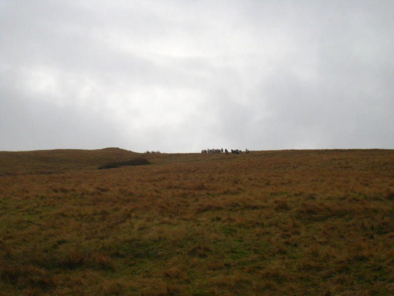
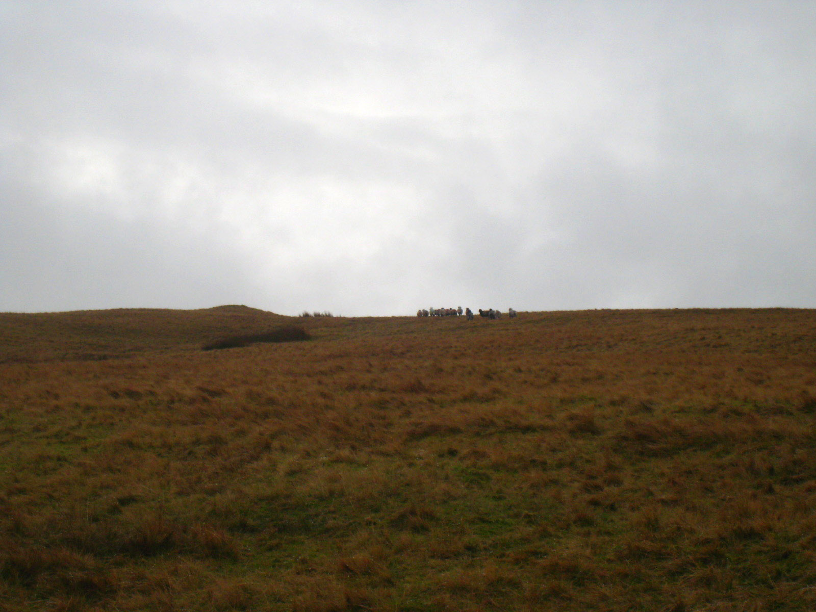
Our beeline to the summit of Bleaberry Haws was much to the consternation of
this flock of sheep. Although we never got nearer than about 150 metres, they
continued to run away from us. As sheep run away in a straight line, and we were
heading straight for the summit, they went almost right over the summit. There
are no crags hereabouts, so they were in no danger, just wasting their efforts!
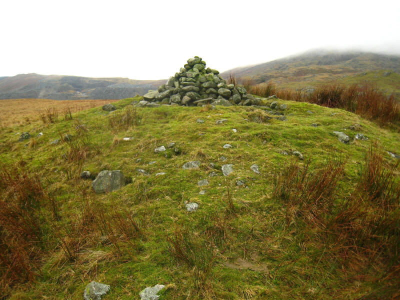
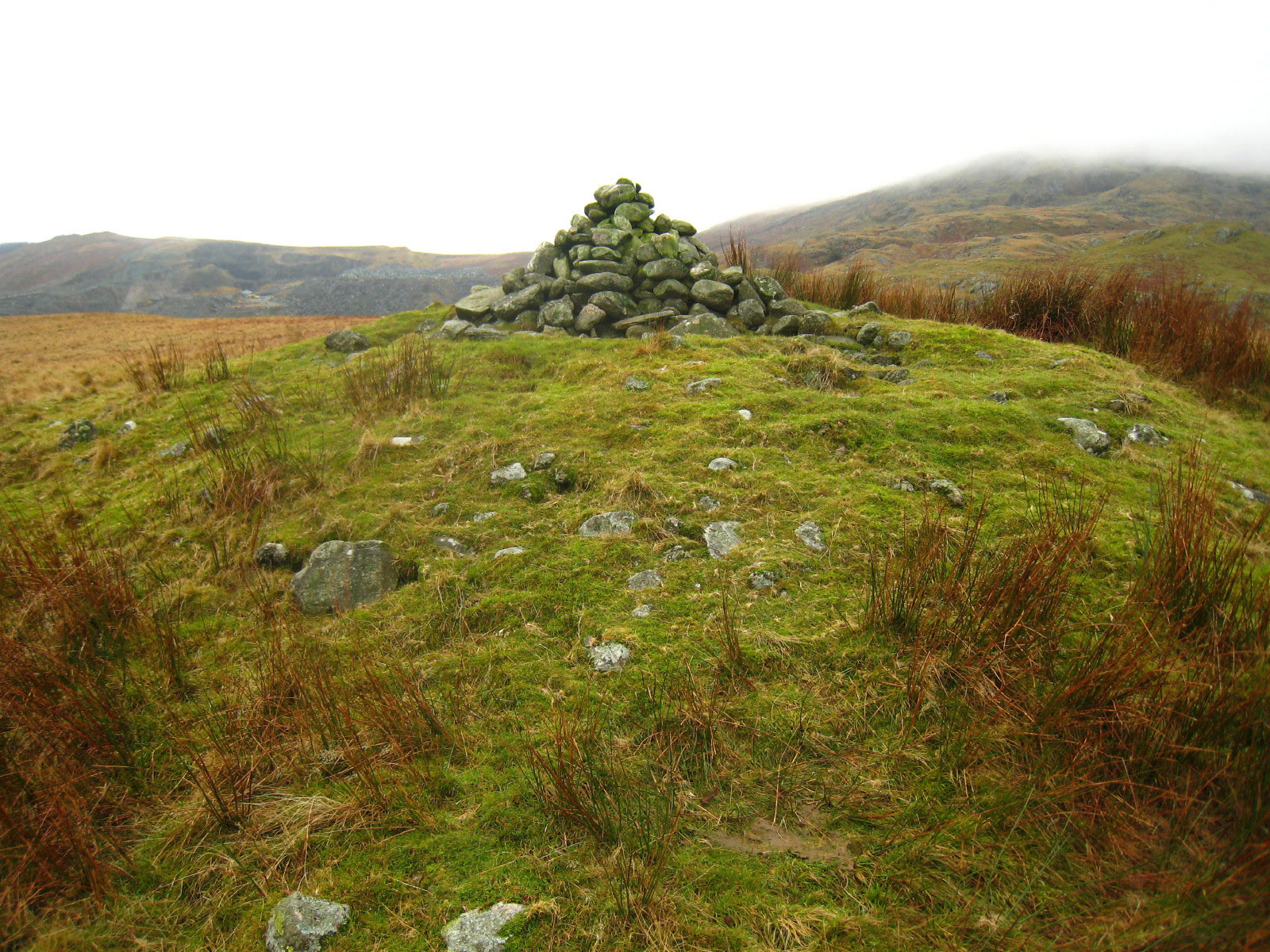
The summit of Bleaberry Haws, with the modern cairn on an ancient mound.
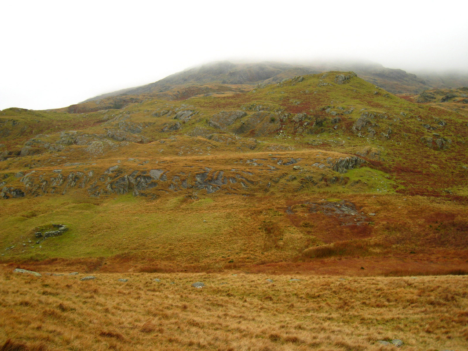
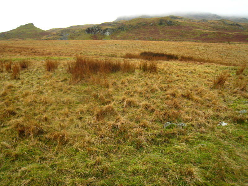
From Bleaberry Haws, looking to High Pike Haw
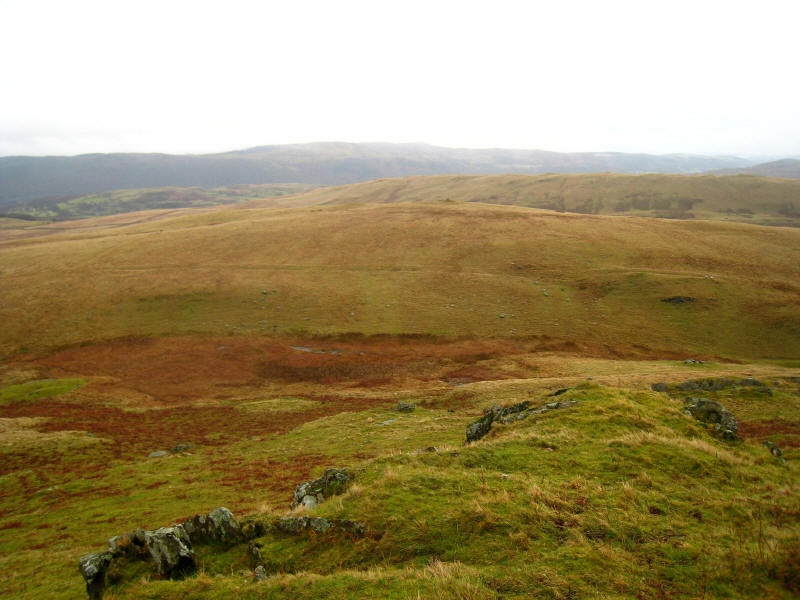
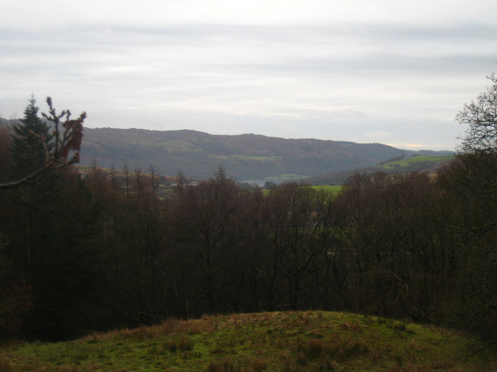
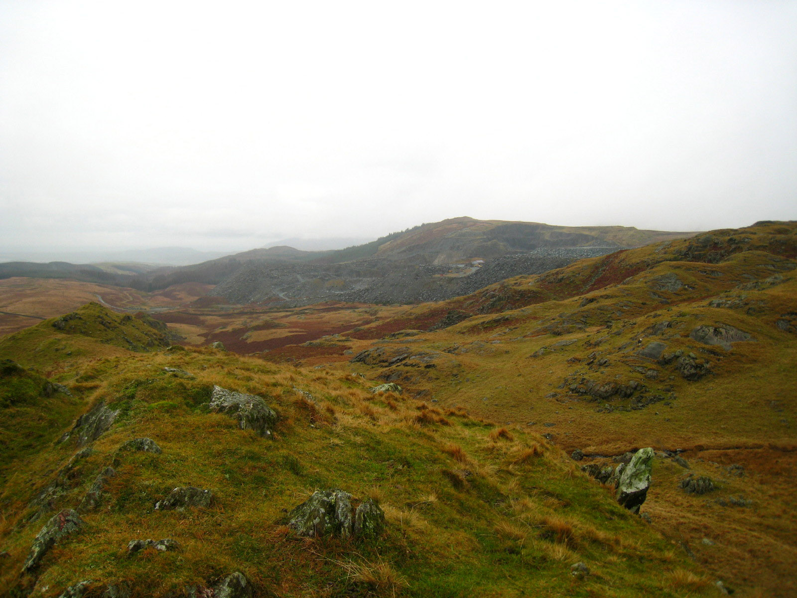
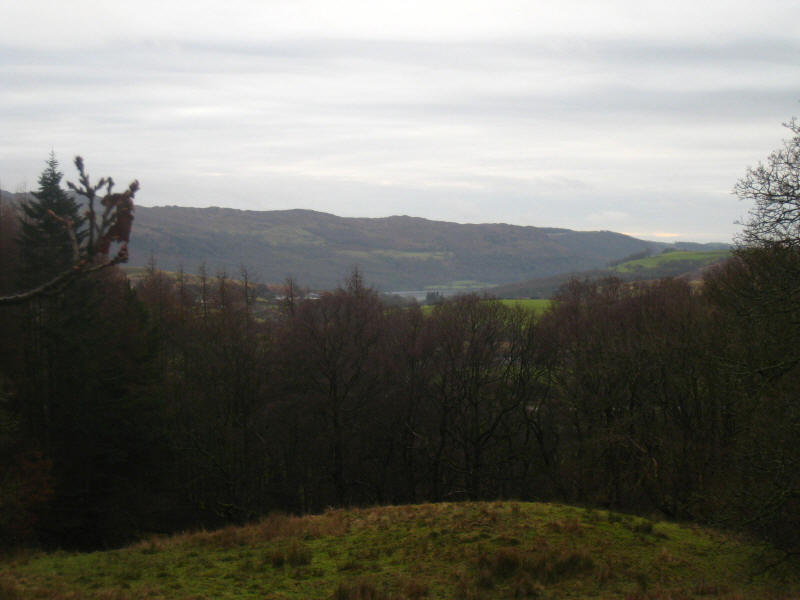
From High Pike Haw, looking across Bleaberry Haws (you can just see the cairn),
past another ridge on Torver Common, to the land between Coniston and Windermere
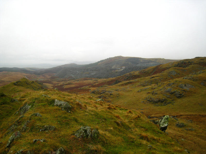
Broughton Quarry
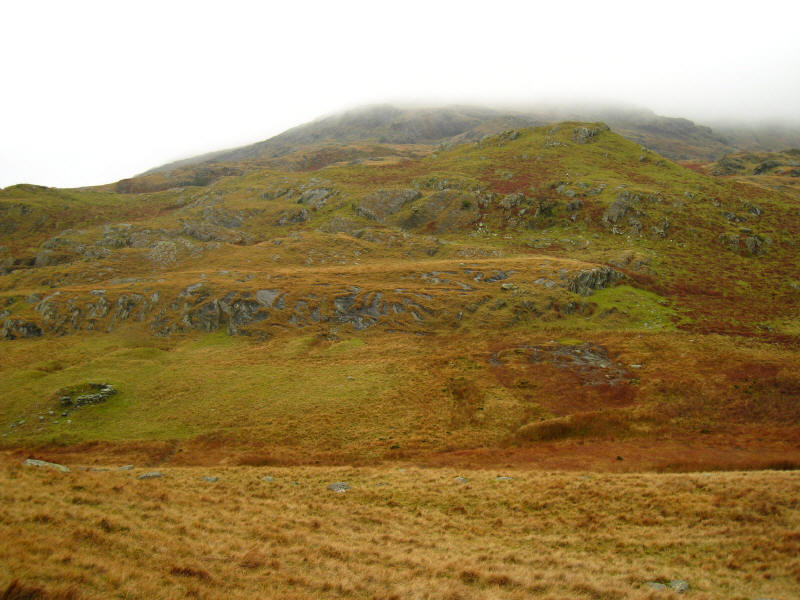
A look back at High Pike Haw as we descend to the north.
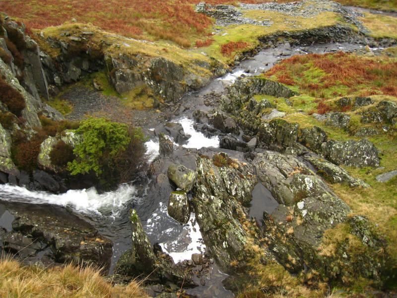
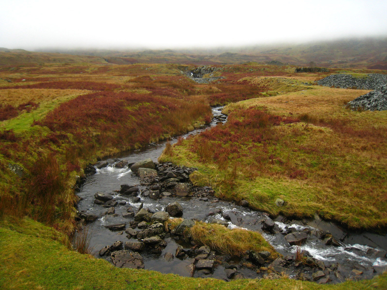
We reached Ash Gill again above the quarry, and look down on the waterfall. It
was delightful, but being a waterfall whose rapids turned a corner, was
difficult to capture with the camera.
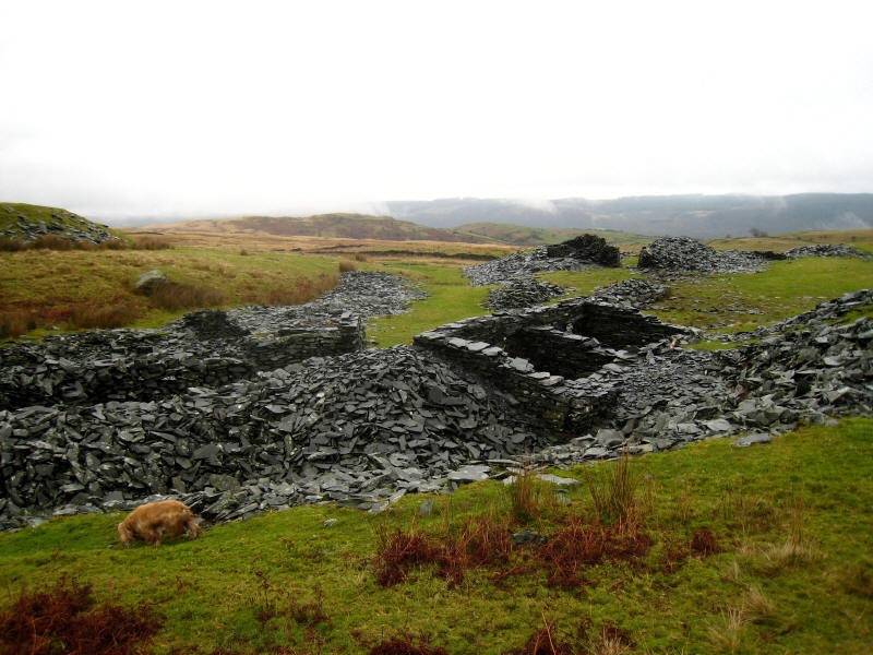
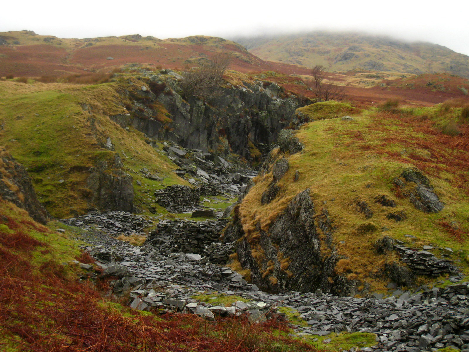
Some of the ruins of Ash Gill Quarry

More of Ash Gill Quarry. These places are in one sense a blot on the landscape
(and certainly the modern Broughton Quarry is), but one abandoned they have a
way of seeming right in the landscape even though not natural. Will we one day
think the same about wind power stations? Probably not, as the difference here
is that the natural materials of the fells themselves are being revealed, albeit
in a crude way, rather than importing thousands of tonnes of concrete and steel.

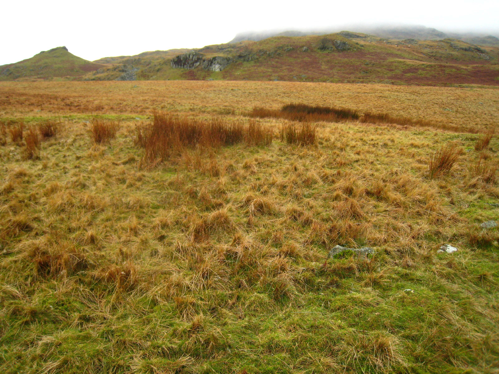
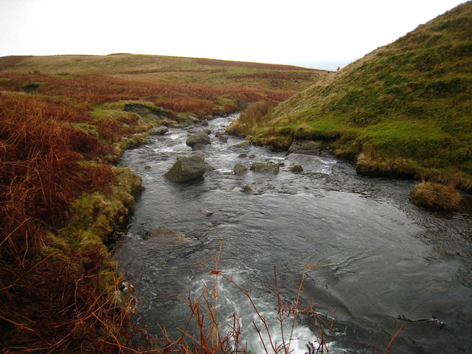
From Ash Gill, we followed the path which proceeds north-east contouring the
hillside until we reached the stream which drains The Cove and Goats Water and
which is a key tributary of Torver Beck. Crossing it with dry feet was easier
said than done, but was managed eventually. The crossing wasn't essential as we
could have visited the remaining highlight of the walk with a diversion, but it
was better to cross the beck and join the main path coming up from Torver to
Goats Water, where we turned downhill.

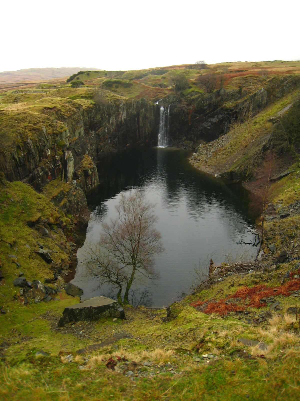
The big hole, Banishead Quarry is an impressive sight. Extending the earlier
theme about the impact of quarrying, here man has, accidentally, added to the
landscape in a wonderful way. It is steep and dangerous though, so George was
safely tied up while I took some photographs.

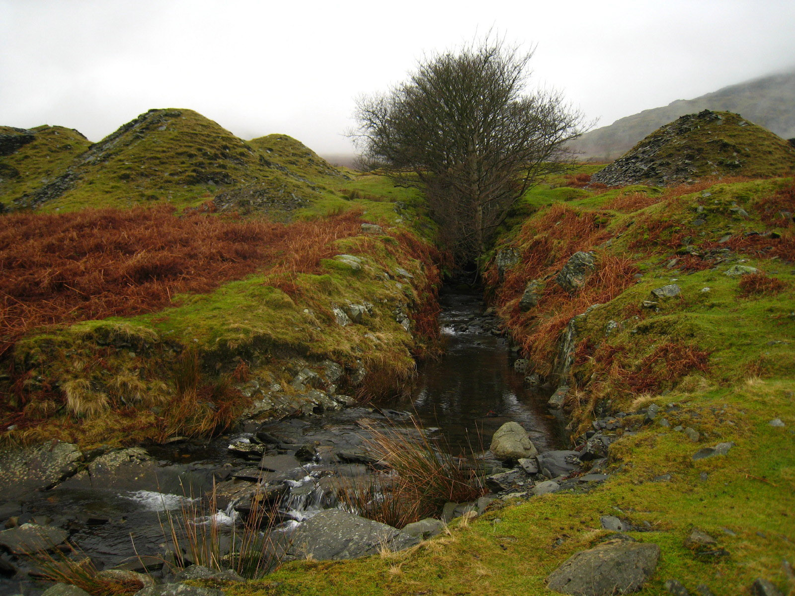
Descending the hillside, we come across this straight, sunken stream - it is the
outflow from the lake in the big hole.
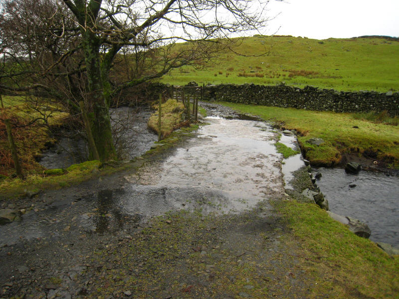
An unintended aqueduct as we continue our descent to Torver after a very
pleasant exploration of Torver Common.
Total distance 7.99 km and 311 metres of ascent in 2 hours 35 minutes
Lake District holiday, December 2007
|
|