Bonscale Pike and Arthur's Pike
14 November 2008
With the weather forecast predicting the best weather in the
northeastern fells, Stephen and George travelled almost as far northeast in the
Lake District as one can go, to the south shore of Ullswater for a visit to
Bonscale Pike and Arthur's Pike from near Howtown.
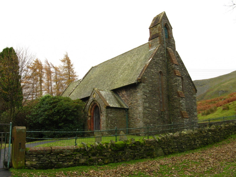
We parked by Martindale new church, from where we walked down to Howtown
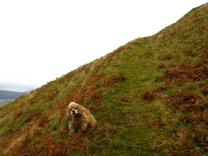
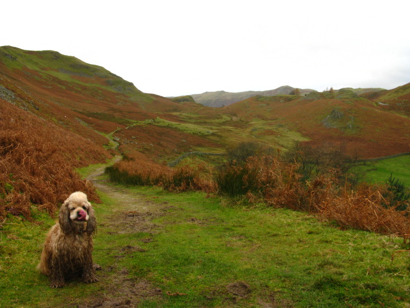
A clean and fluffy George as we begin the descent to Howtown (an unusual start
to a hill walk)
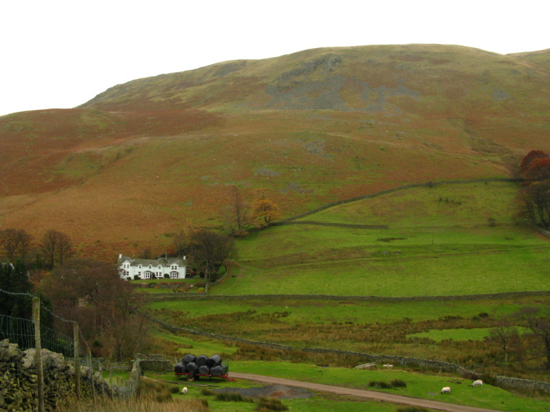
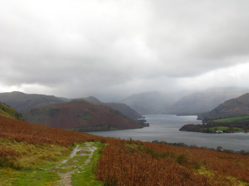
A few of the buildings of Howtown and part of Ullswater, under the flank of
Bonscale Pike
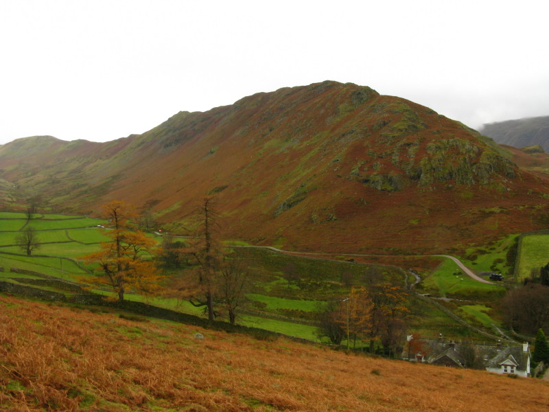
Bonscale Pike, left, and Loadpot Hill
The house of Mellguards as we prepare to cross Fusedale Beck and begin the
ascent
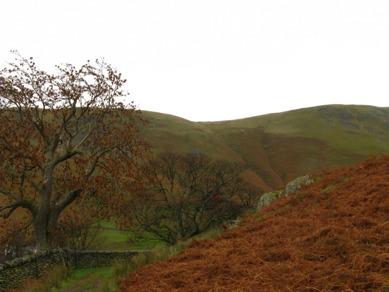
Climbing at last, a look back across Fusedale to Steel Knotts
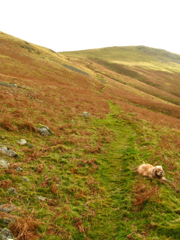
Ascending under White Knotts
The path was quite steep but very easy underfoot
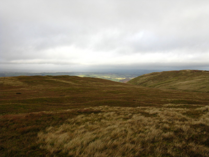
We reach the summit plateau and look towards the summits of Bonscale Pike and
Arthur's Pike
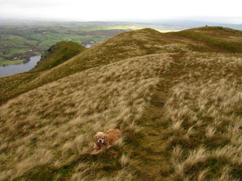
Approaching Bonscale Pike
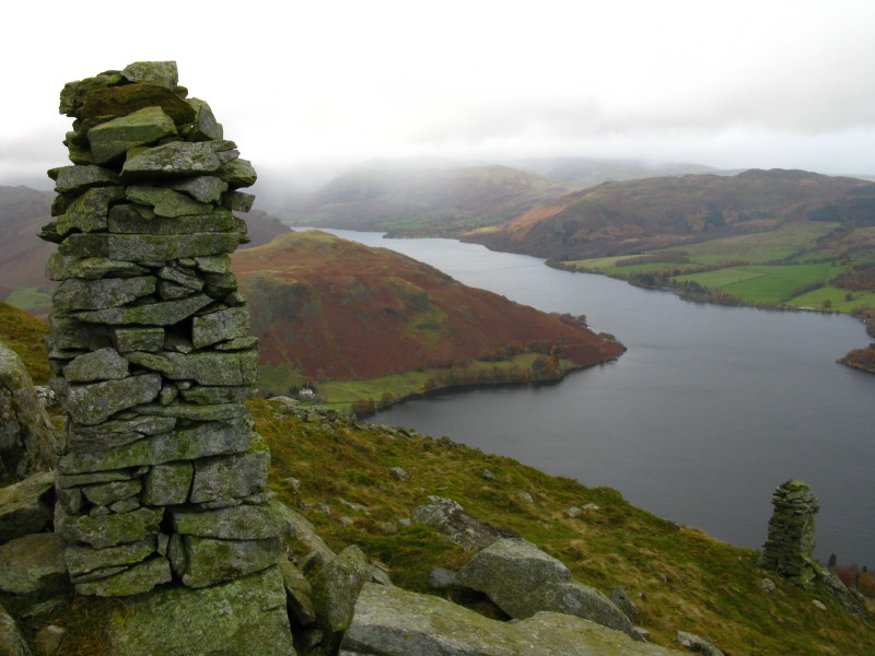
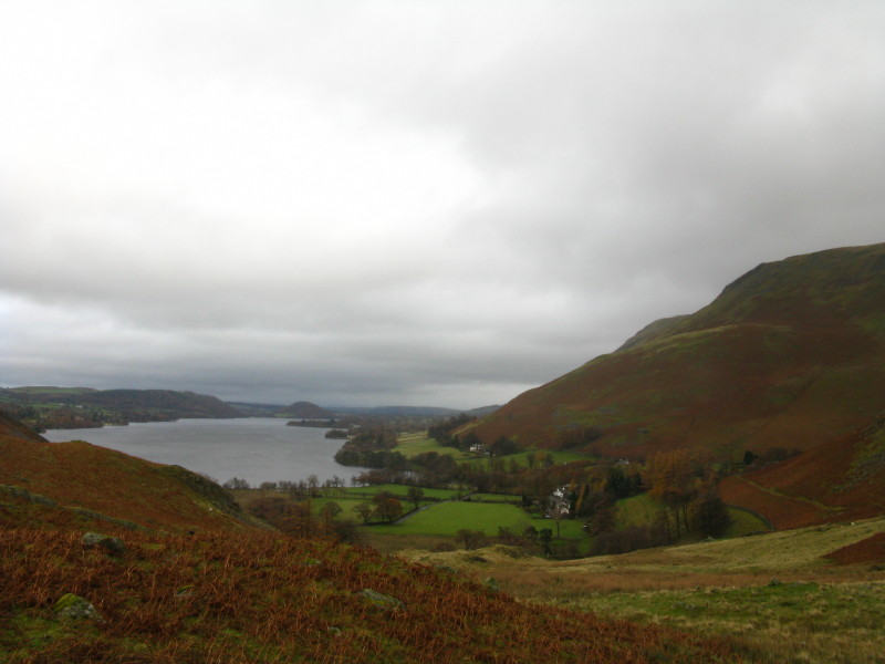
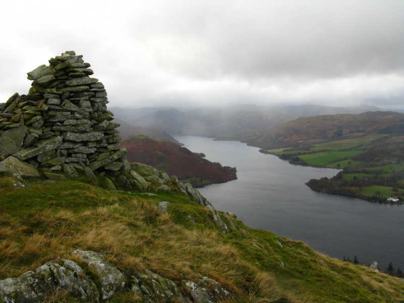
The two impressive towers below the summit of Bonscale Pike, together with part
of Ullswater. The other hills have their heads in the cloud, and I'm glad we're
on the edge of the Lake District.
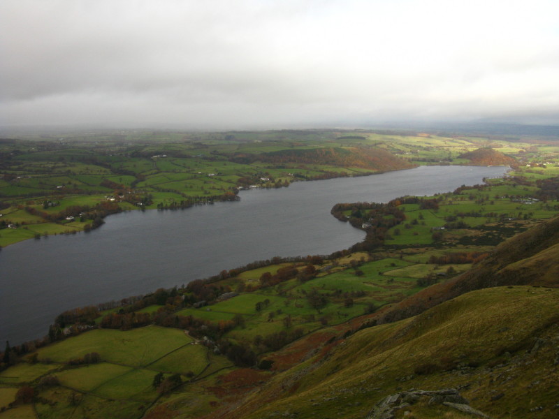
From the same point looking northeast, showing that the hills of the Lake
District have ended. The Pennines are out there, but hidden in cloud.
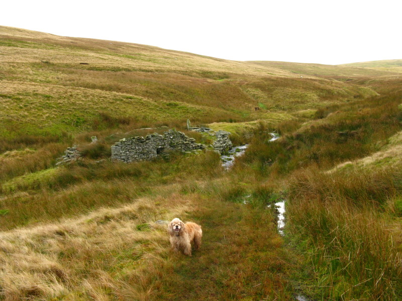
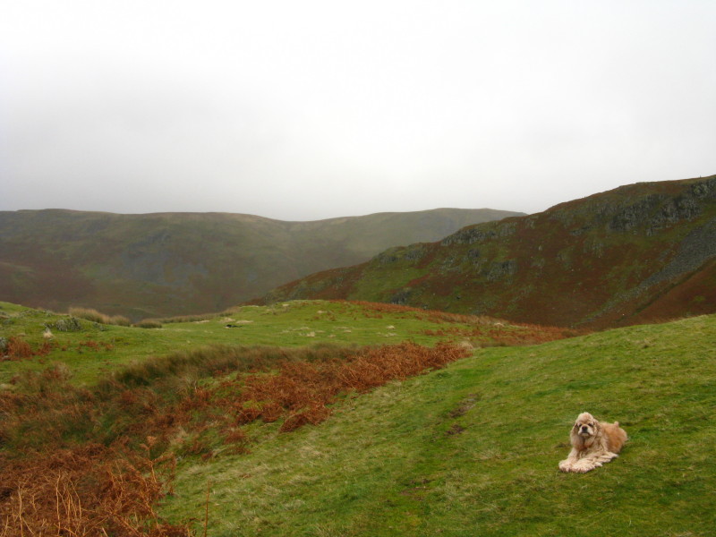
A cheerful George as we approach a ruined barn and sheepfold as we cross the
valley of Swarth Beck
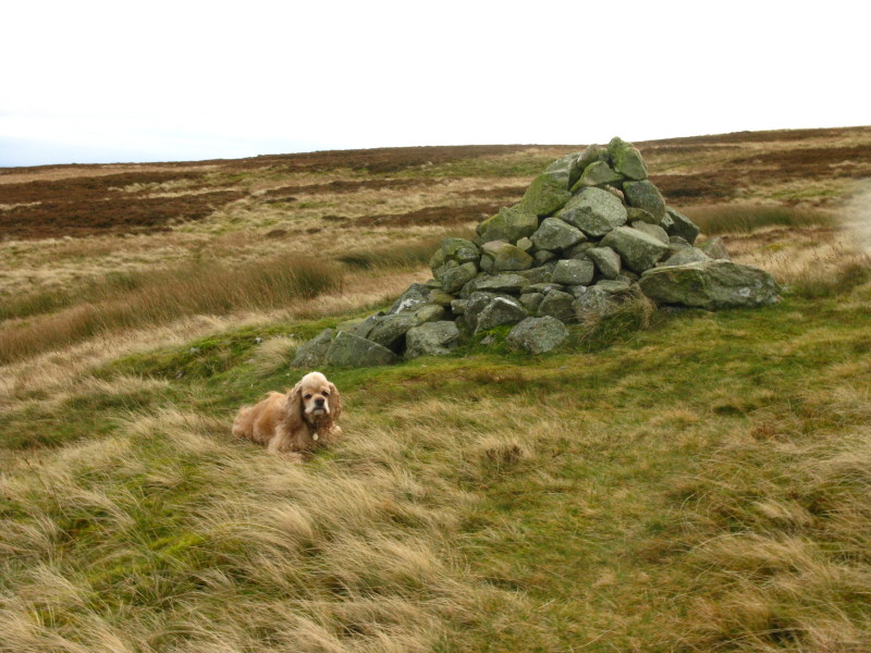
Near the summit of Arthur's Pike is a cairn, perhaps less impressive than the
towers of Bonscale Pike, but still commanding a fine view
We took the path along the edge of the hillside for a while, above Whinny Crag,
then headed back towards the main path, in a Bill Bryson moment heading for
another "cairn" on the OS map. Big stones, and some hint in the ground formation
of antiquity, greeted us.
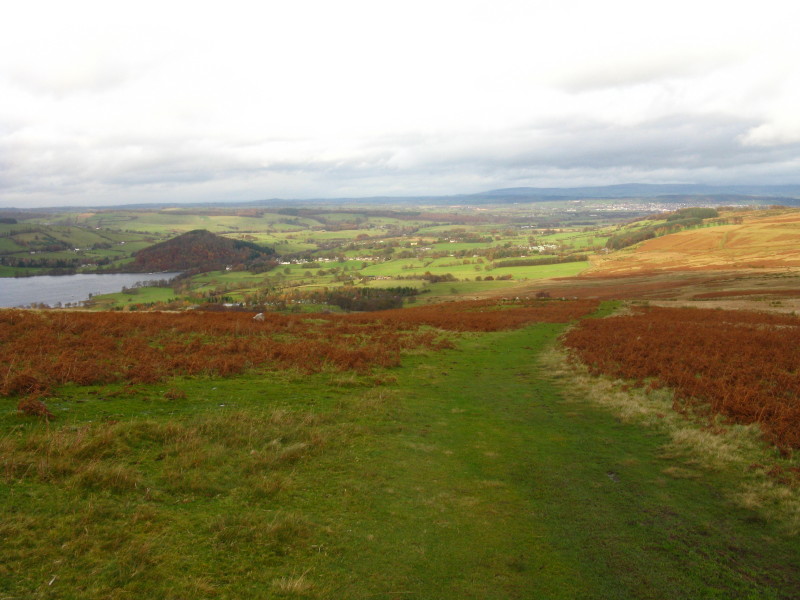
On the main path, heading towards Penrith, and the Pennines are starting to
emerge from the clouds
Above Barton Park we turned sharply back and continued the descent on a long and
damp path back towards Lakeland
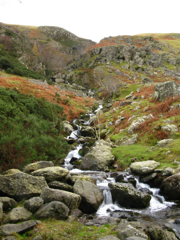
Our second crossing of Swarth Beck, whose name after a rapid descent of the
fellside has transformed slightly into Swarthbeck Gill
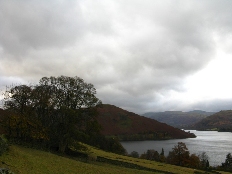
Heading along the lake towards Hallin Fell and the car
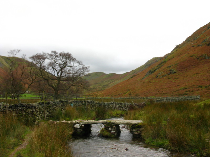
A clapper bridge across Fusedale Beck
As we make our way back to Martindale, compare George now to how he was three
hours ago on the same path!
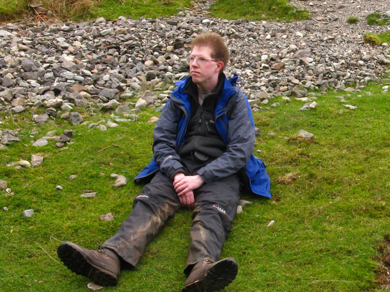
But my hair has been affected too - the photo doesn't quite do it justice, but
every strand is standing straight up!
Zoom in for more detail, or see map in larger window: Ordnance Survey |
Open Street Map |
Google Maps
An interesting little outing, with hopefully the best of the weather around.
Total distance 12.3 km and 614 metres of ascent in 3 hours 27 mins
Lake District holiday, November 2008
|
|