Yewbarrow
16 November 2008
For the final morning, the weather forecast was again
promising, and so the craggy summit of Yewbarrow, surrounded by dramatic
mountain scenery, was selected.
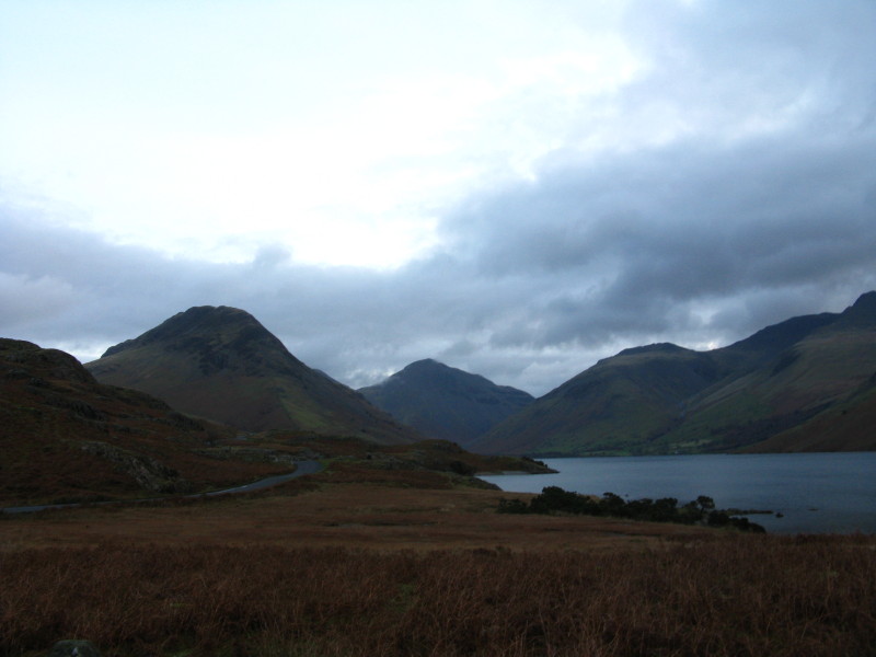
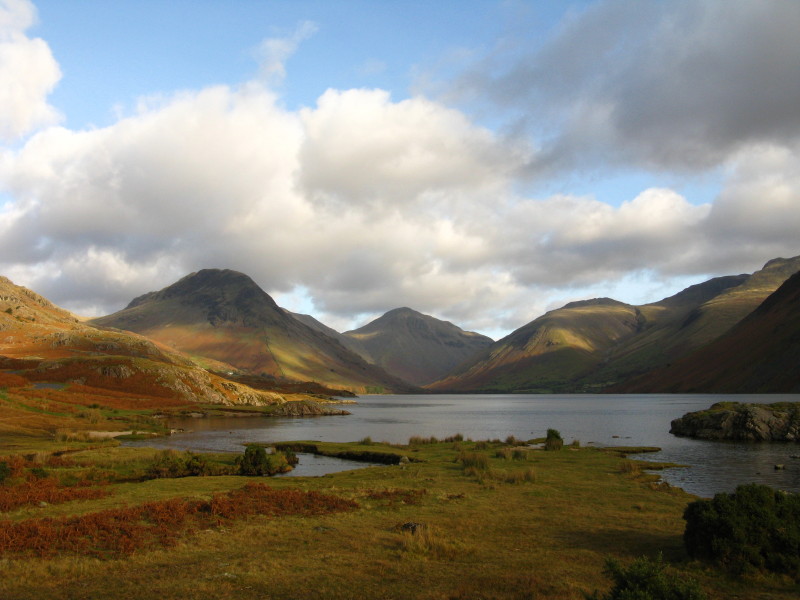
It's not a brilliant picture (there's a better one later on), not least because
the light is so dim somewhat before sunrise, but the fell on the left is
Yewbarrow, with its very distinctive shape; there is the merest hint of Kirk
Fell on the right of Yewbarrow, then Great Gable, Lingmell and the flanks of
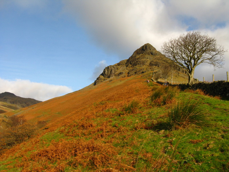
Scafell. Our route up Yewbarrow is up this end from the car park by Overbeck
Bridge.
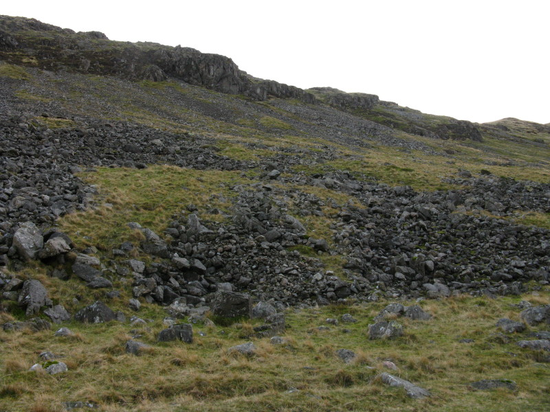
Ascending the first, grassy section before we reach rock.
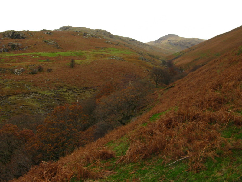
The valley of Over Beck, with Red Pike (apparently) at its head
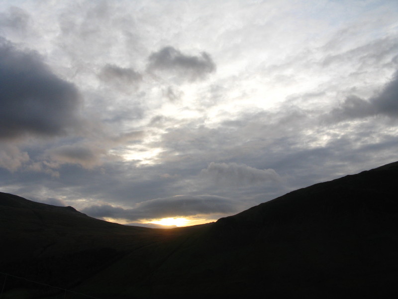
8.23am, and the sun rises over the pass to Burnmoor Tarn
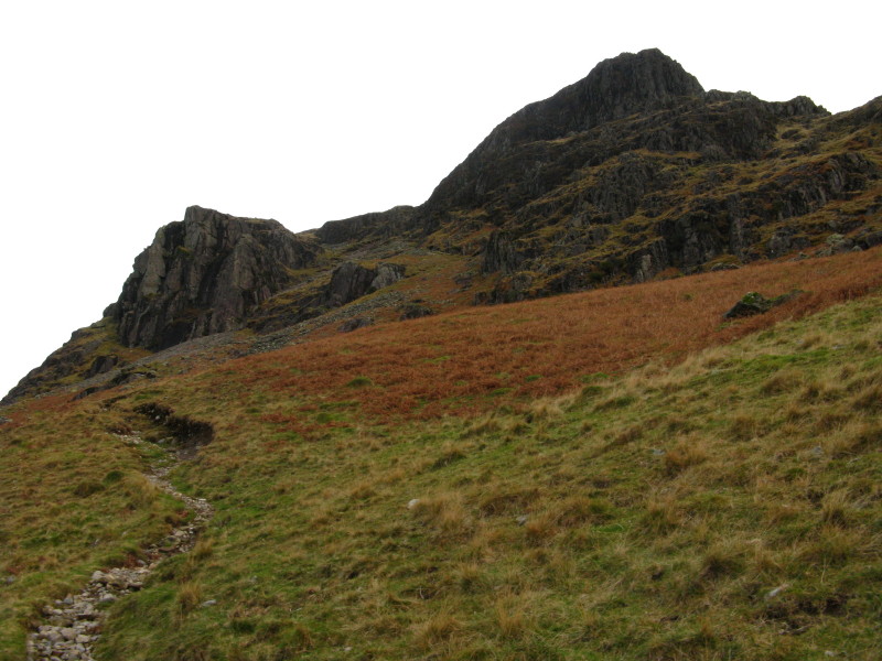
With Bell Rib blocking our way, the route veers left between Bell Rib and
Dropping Crag
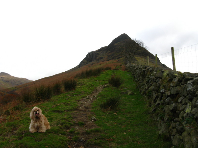
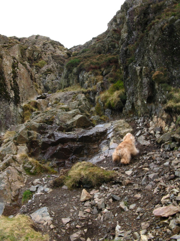
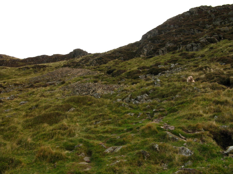
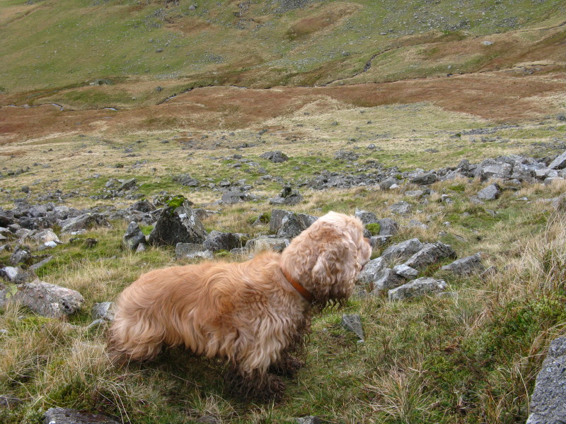
Spot the American Cocker
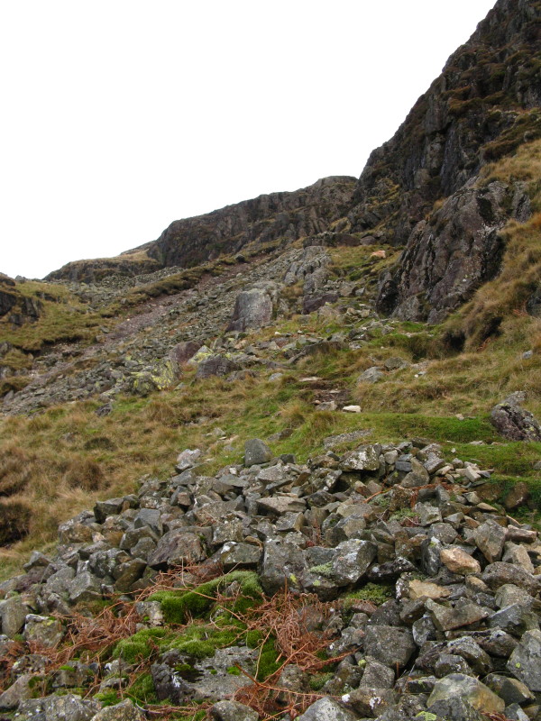
George pauses briefly as the going gets harder. He then charges up this while I,
struggling, wonder if can be the right way.
After a short retreat, I find, across the gully, a rather easier route.
Apparently the gully is the "connoisseur's route" but I'm happy with the easy
way up (and down).
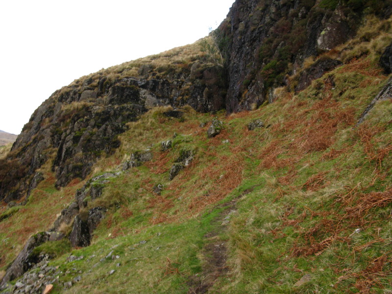
George again well ahead of me.
It is a lot steeper down there than this photo makes it look.
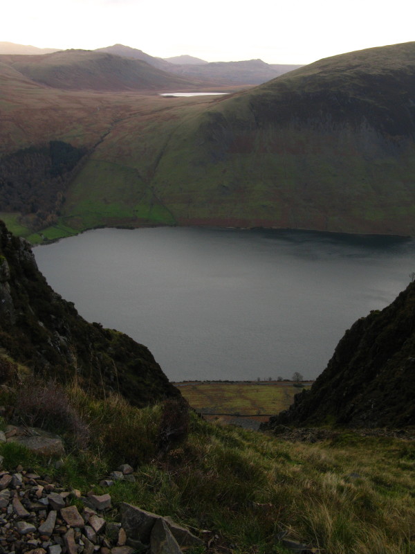
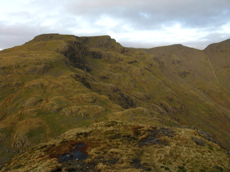
We have now regained the main ridge, safely above Bell Rib, as we look down
Wastwater towards the sea.

Kirk Fell and Great Gable
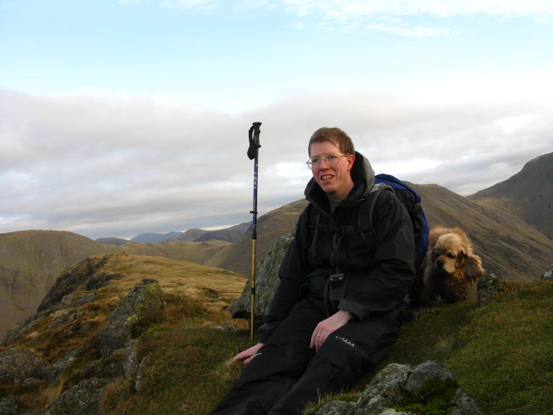
Me with rather sweaty hair (I've just taken off my hat) at the summit of
Yewbarrow. To the left is the North Top.

A 360° panoramic view from Yewbarrow - click the picture for a larger version.
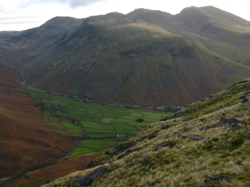
Looking down on the stone-walled fields of Wasdale Head, with the Scafell massif
behind
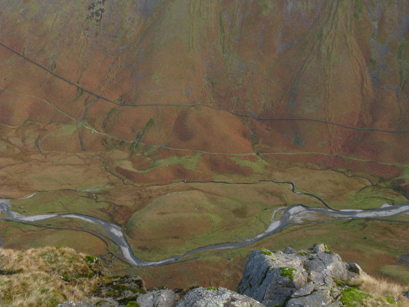
From the northern end of Yewbarrow, looking down on Mosedale Beck. Enough to
give anyone vertigo!
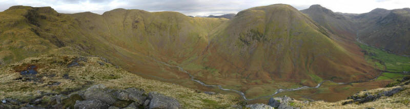
A panoramic shot from the same point, showing the whole of Mosedale, from Red
Pike on the left, past Scoat Fell, Pillar and Kirk Fell, and then a view up the
valley of Lingmell Beck.
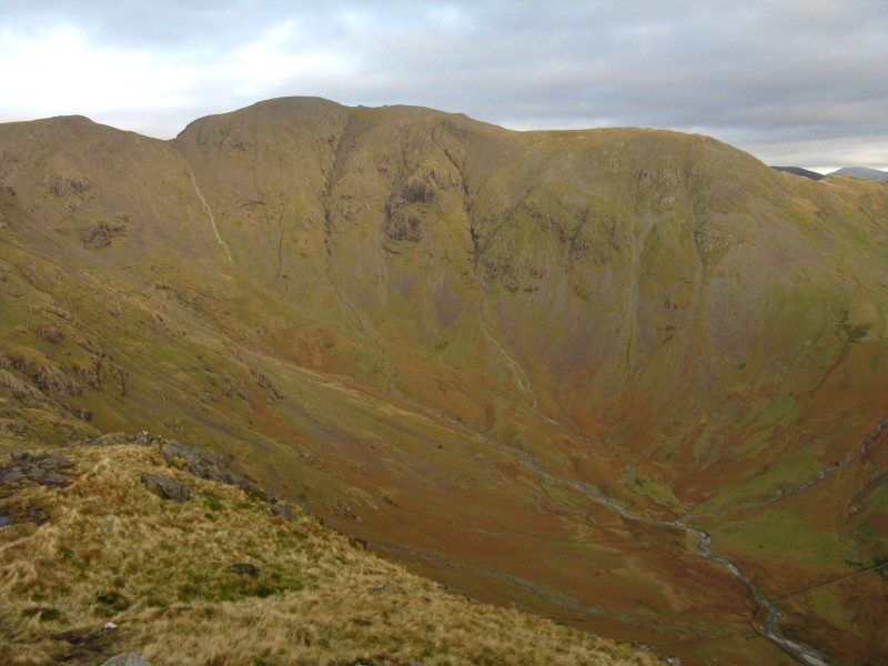
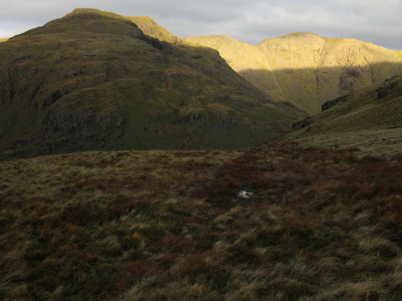
Pillar and Mosedale Head
Red Pike and Scoat Fell. Down there is Dore Head, and a very steep and rocky
descent down Stirrup Crag.
However, our route is to retrace our steps a short way to the depression between
the two tops of Yewbarrow, where a cairn now marks the start of a rather easier
descent than either the northern or southern ends of the ridge.
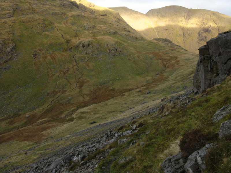
Descending around Stirrup Crag, initially towards Dore Head
George assesses the route down
When we reached the bottom of the crag, just left of centre of the skyline, the
path seemed to split, one half continuing to contour along the fellside and one
plunging down. We took the plunging option, and it was without significant
difficulty, depositing us safely on the path above Over Beck.
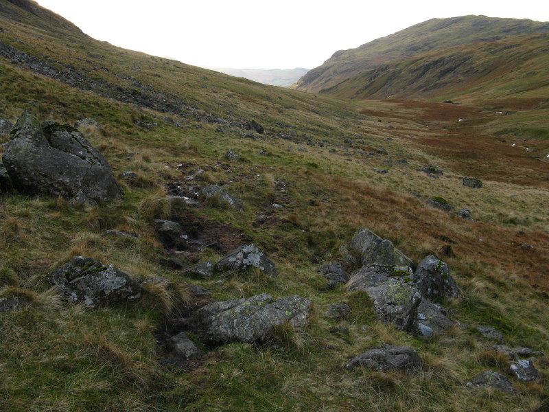
Following the path above Over Beck.
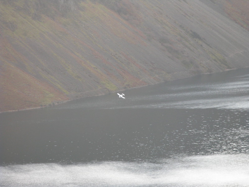
As we make our final descent, an aeroplane is doing likewise, about to land on
the lake.
The plane taxiing along Wastwater - not something I've ever seen before.
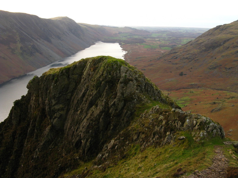
Well, the weather has been lovely - a look back up at Bell Rib
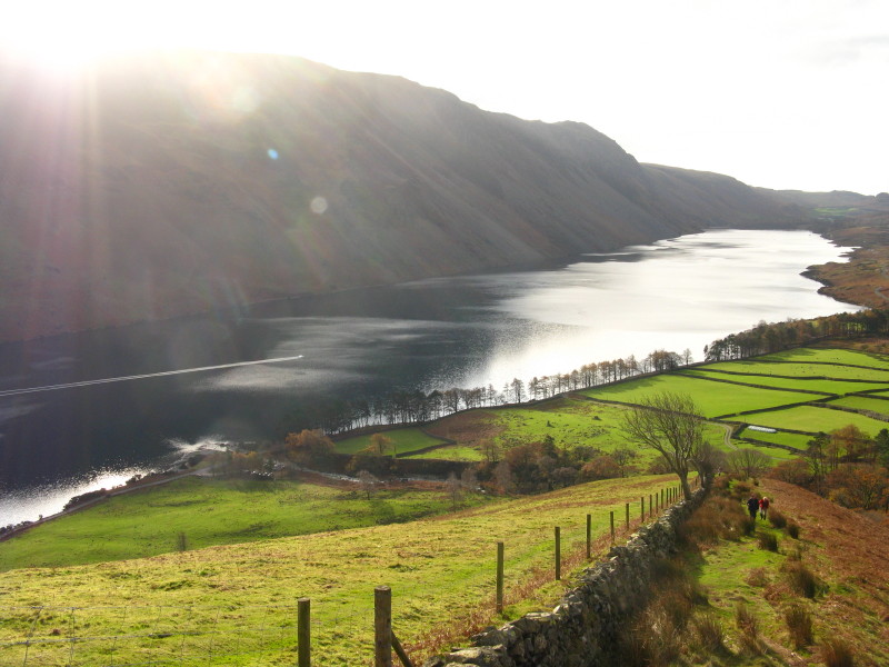
Here's the promised better picture - a classic tourist photograph and the logo
of the Lake District, but none the less attractive for that.
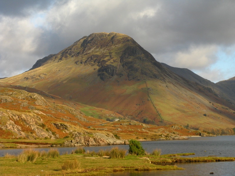
A close-up of Yewbarrow from the same spot before we head back home.
Zoom in for more detail, or see map in larger window: Ordnance Survey |
Open Street Map |
Google Maps
A lovely walk - and I'm glad we took the easy way down. Total distance 7.0 km
and 669 metres of ascent in 3 hours 33 mins
Lake District holiday, November 2008
|
|

