Top O'Selside
6 May 2008
After this morning's expedition in the Duddon Valley and a good
family lunch in Broughton, the continuing good weather called for
another fell walk. Although Top O'Selside, the high point between
Coniston Water and Windermere, had been visited before, it had been in
poor weather, so a decision was made to visit again, this time taking
Wainwright's recommended route from High Nibthwaite over several other
little tops. Sadly the weather was rather hazy for the perfect views of
the Coniston Fells that would otherwise result, but it was still a very
pleasant outing.
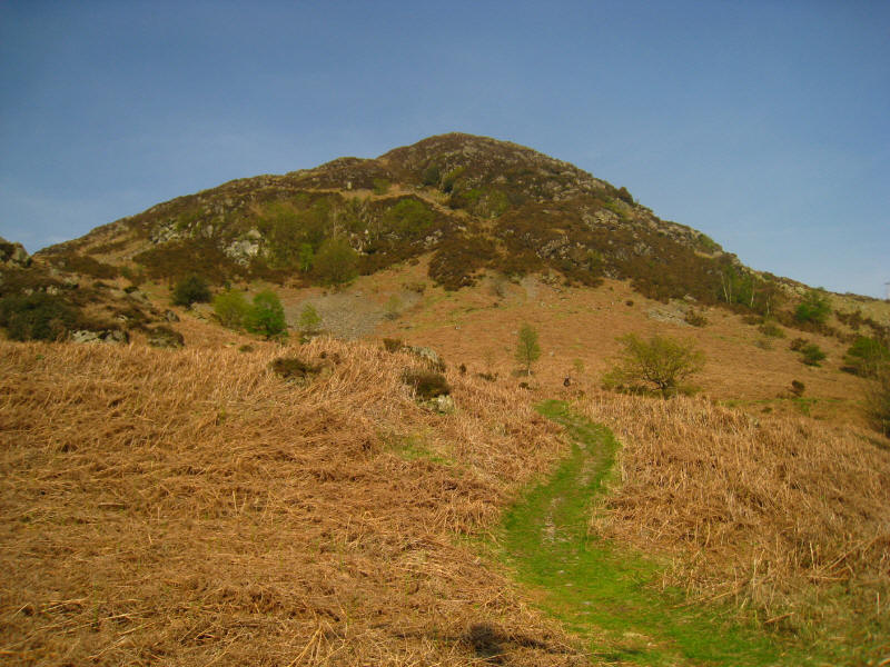
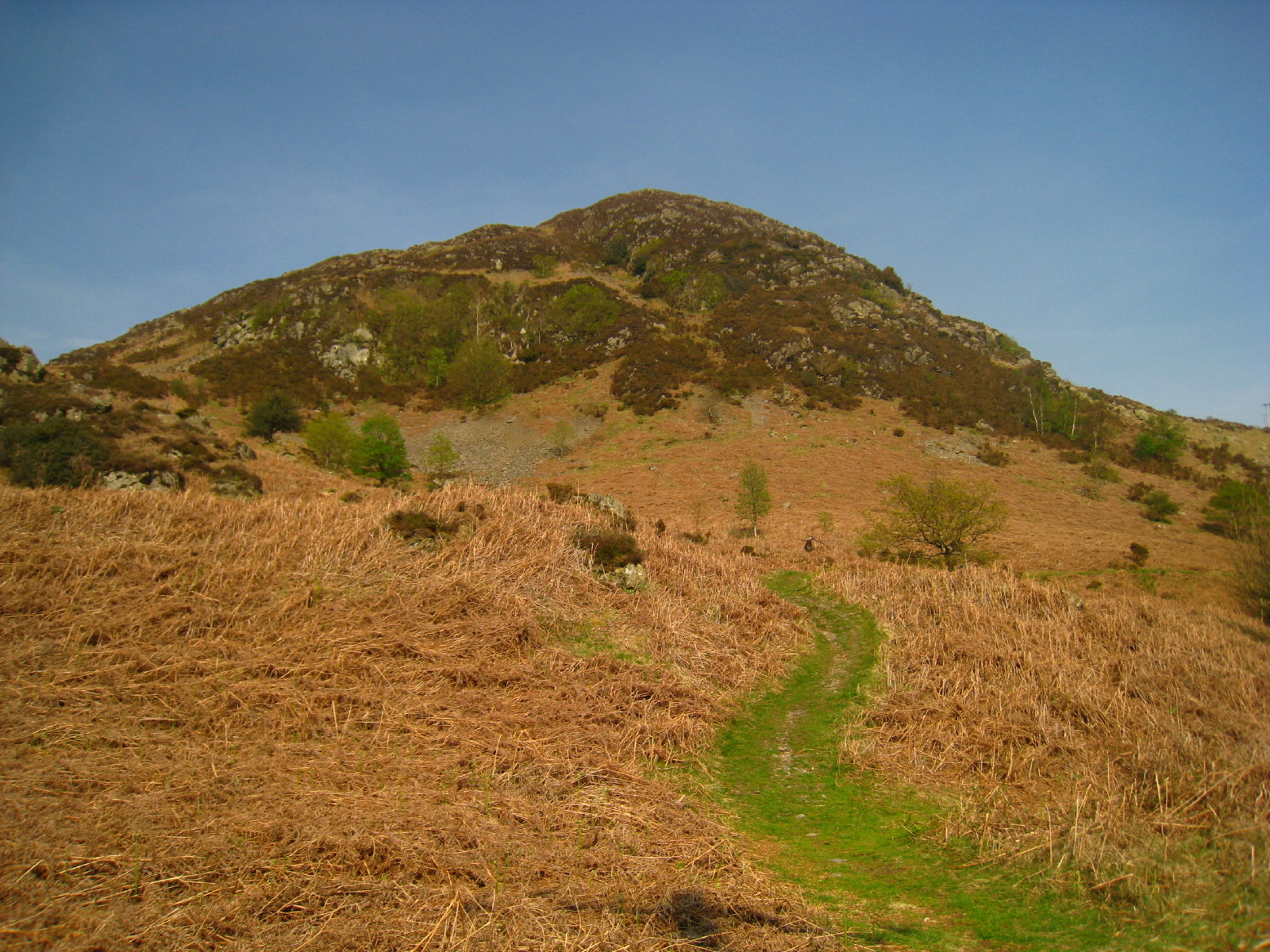
The first objective is Brock Barrow. Wainwright's route goes across this face,
but we found a better looking route up the right side, which was sufficiently
used for a little track to have developed, but it was still fairly steep.
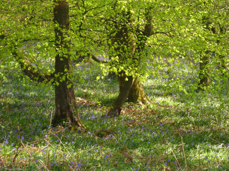
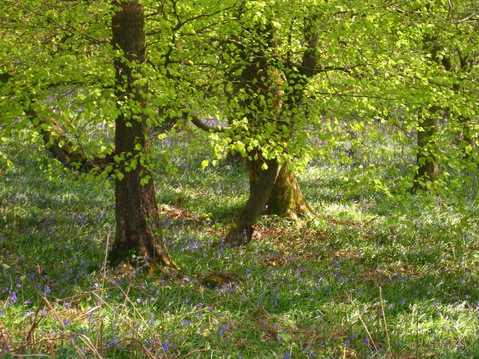
Refreshing bluebells before we begin our ascent.

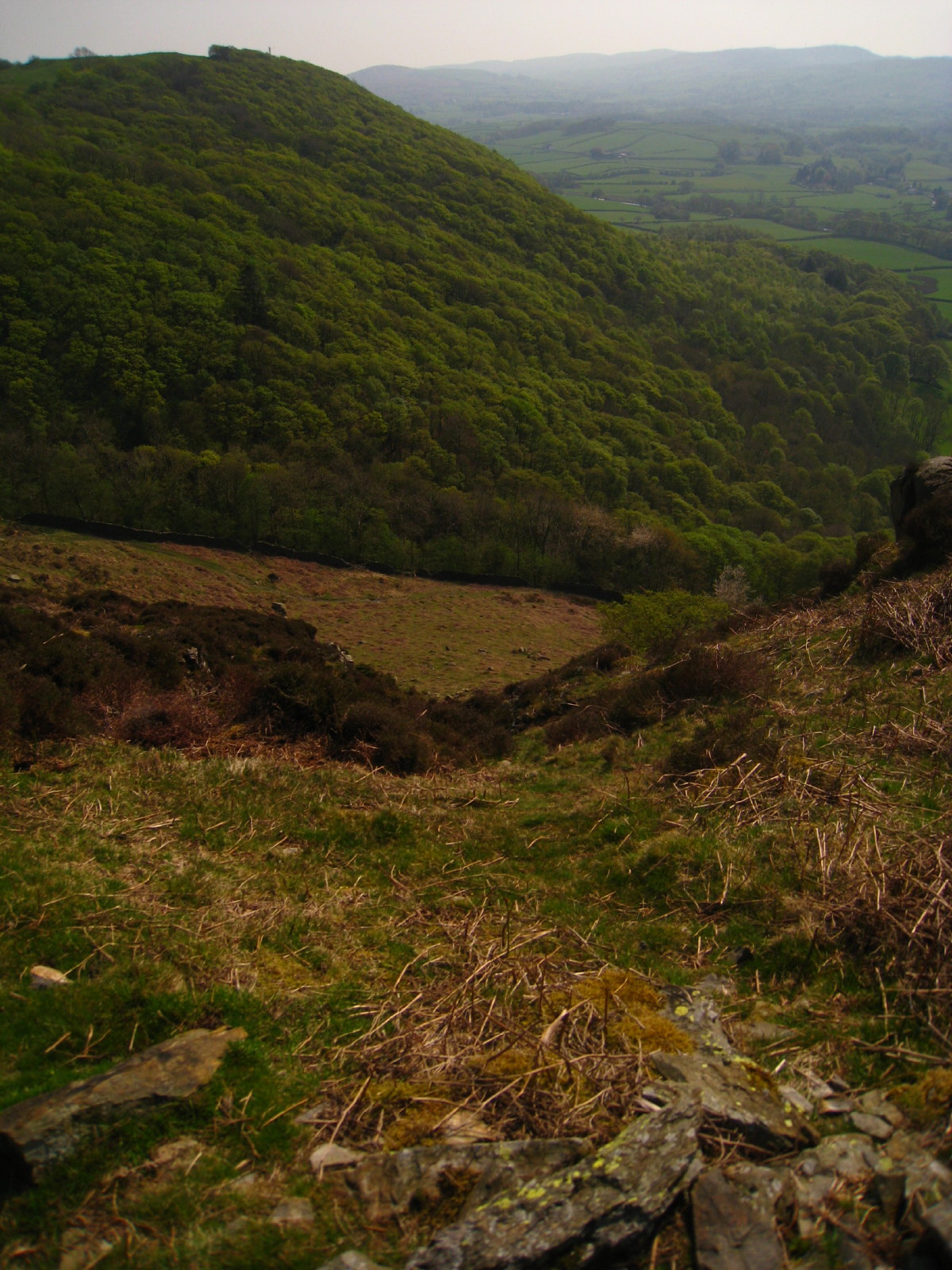
Looking down the fairly steep slope from near the top.
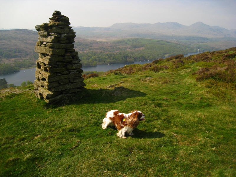
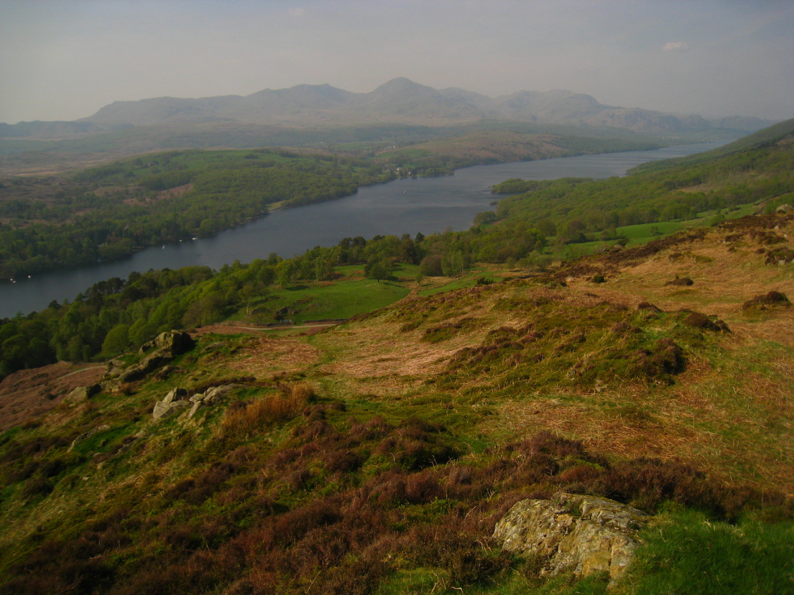
Henry on top of Brock Barrow, with the Coniston Fells beyond Coniston Water.
The foot of Coniston Water

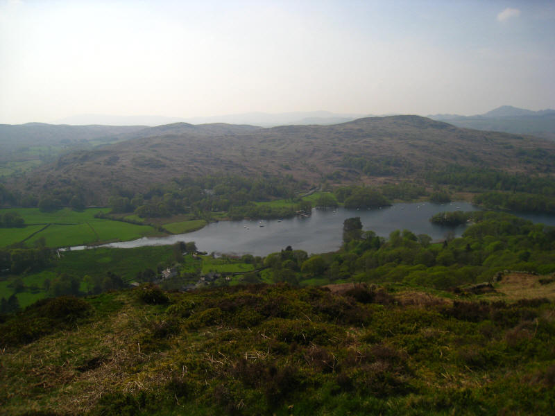
From the next little summit, the view along the lake opens up, and the views of
the Coniston Fells would be even better, but for today's haze.
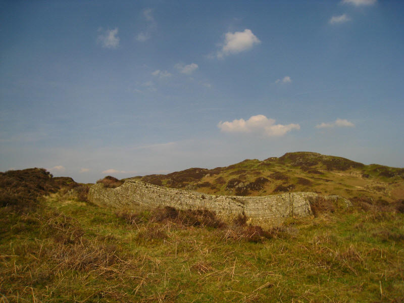
On the next summit, Low Light Haw, looking towards High Light Haw. The summit on
the right is Arnsbarrow Hill, which we're not visiting today, but looks a good
objective for a future outing.

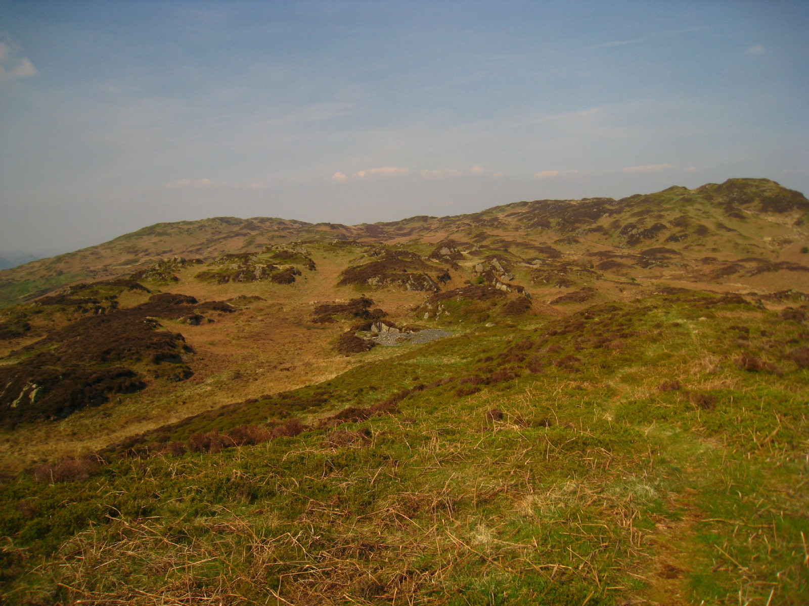
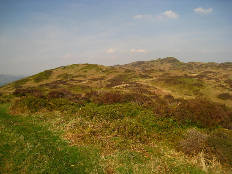
On High Light Haw; the summit on the horizon on the left is Top O'Selside, the
high point of the moor, though the nearer Arnsbarrow Hill on the right looks
higher because it is closer.
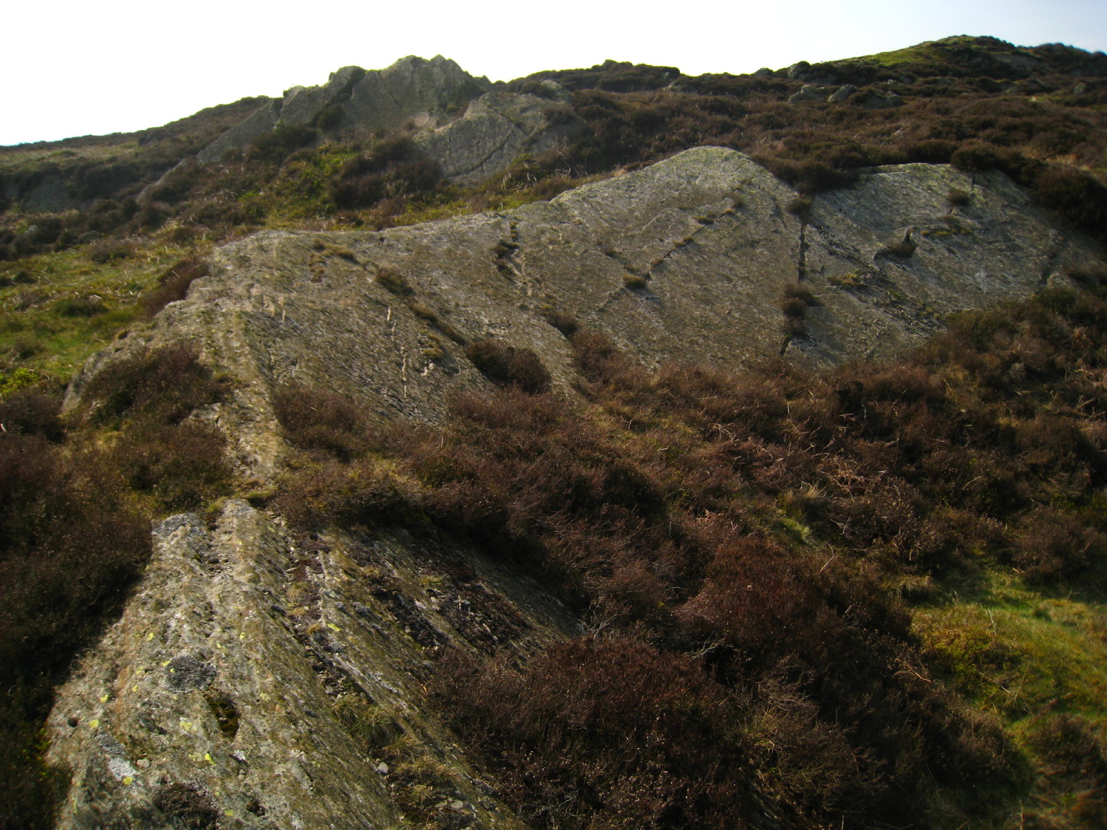
An interesting rock formation with Arnsbarrow Hill behind
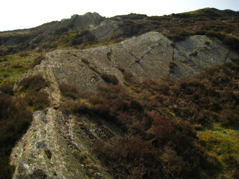
The same formation from above.
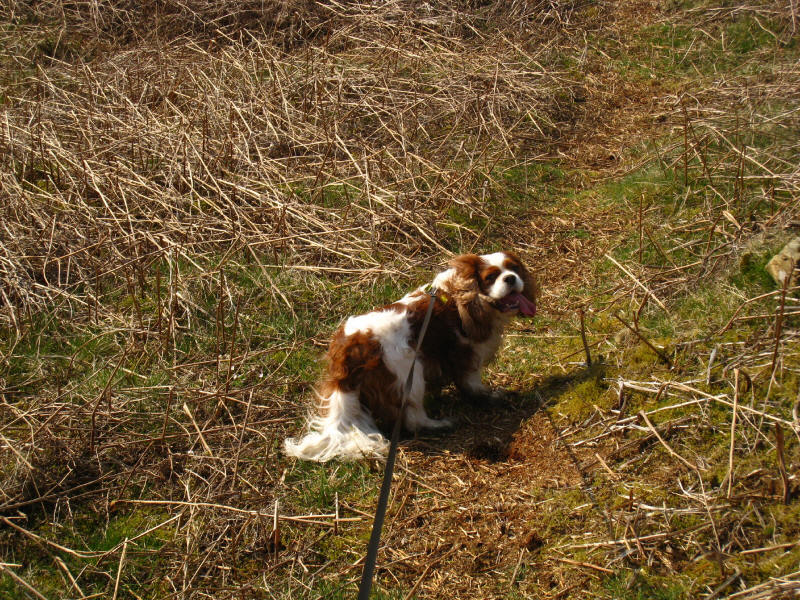
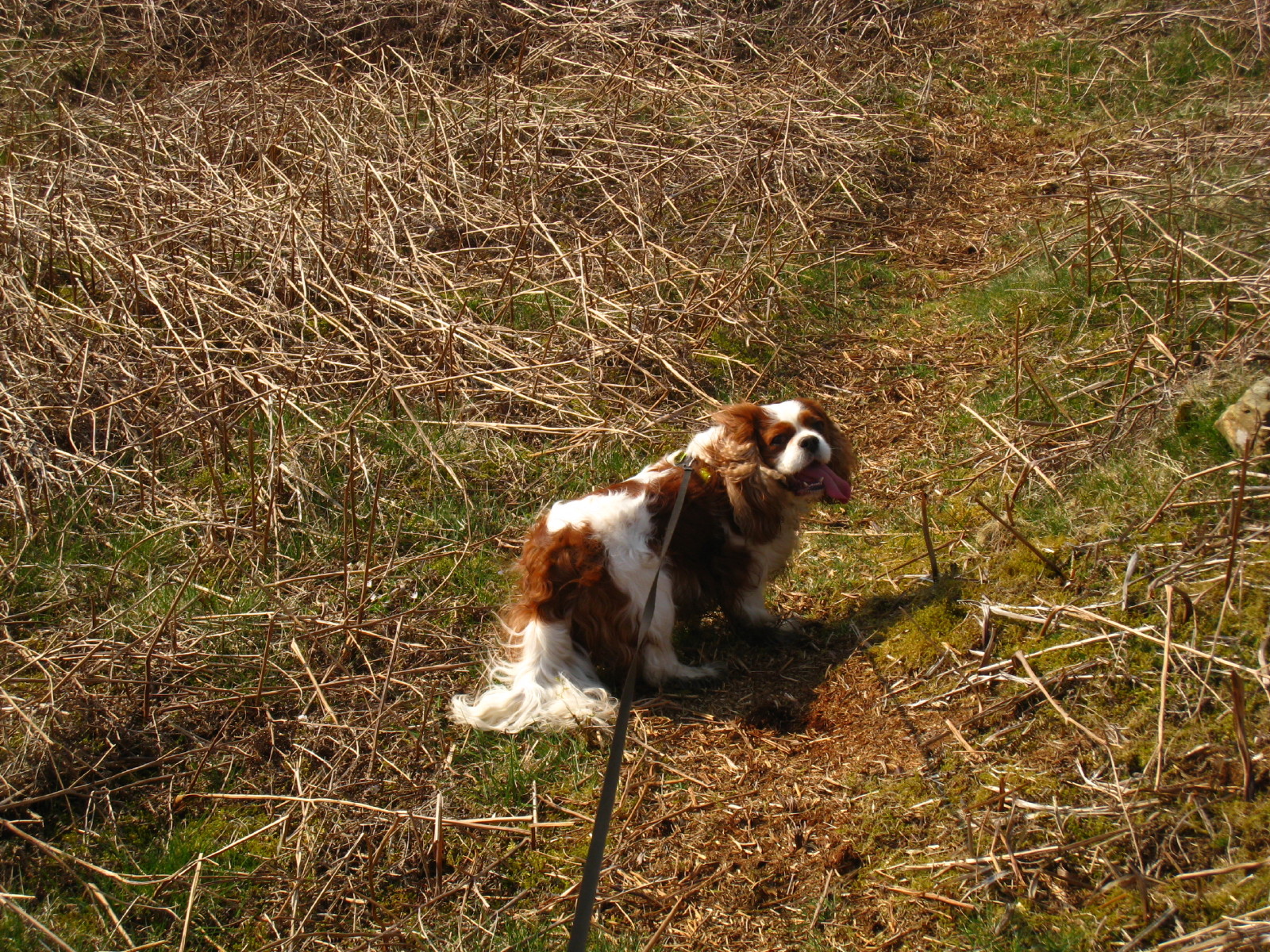
Henry having fun on this warm afternoon.
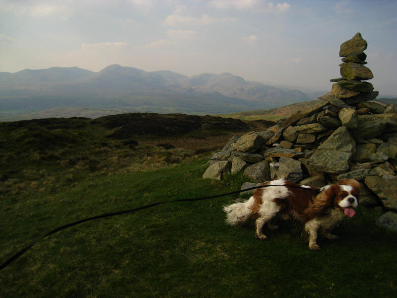
On the main summit of Top O'Selside, with the Coniston Fells behind

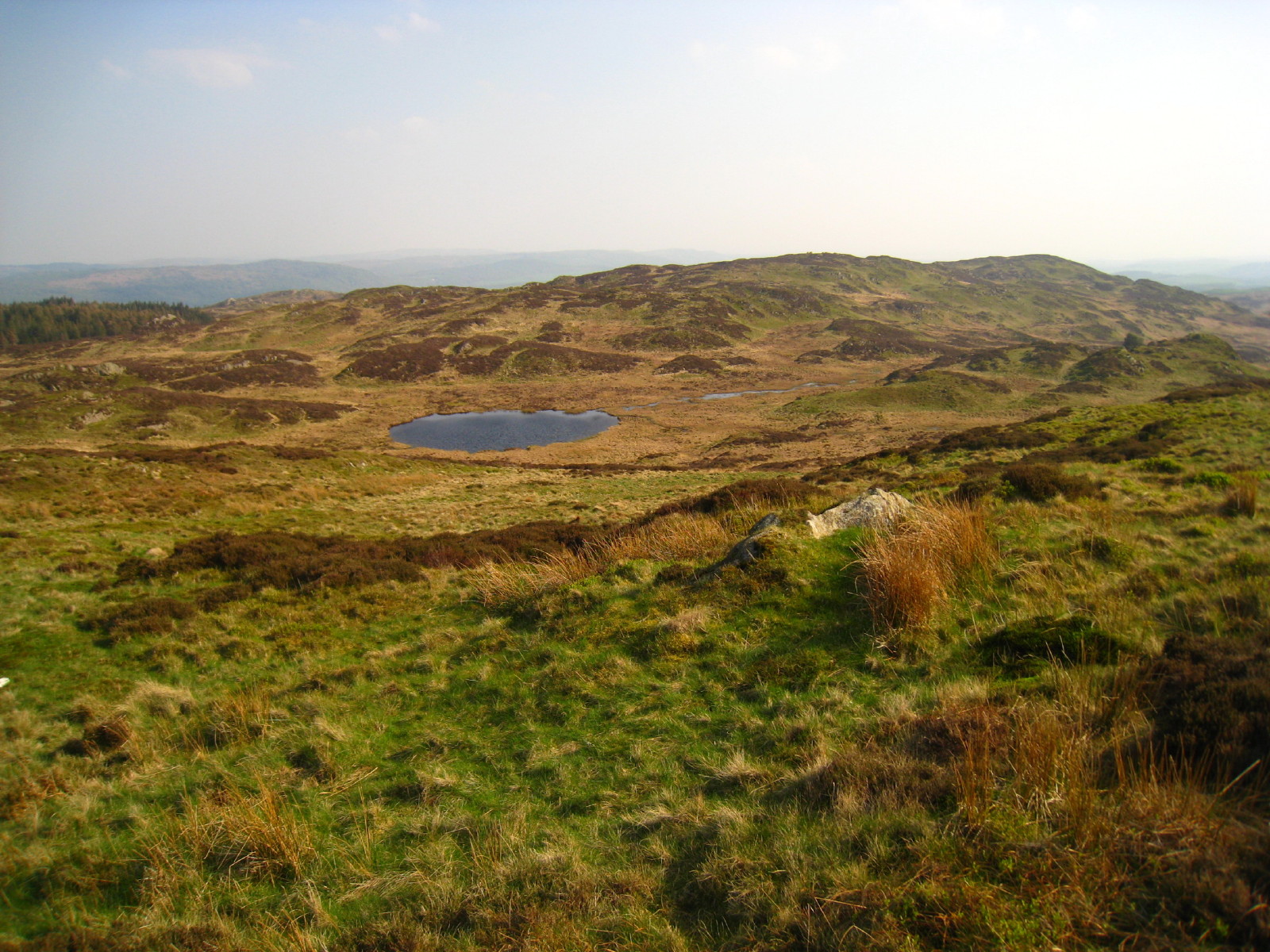
From the northernmost summit of Top O'Selside (which appears to be marginally
higher than that which carries the cairn), looking past Arnsbarrow Tarn to
Arnsbarrow Hill.
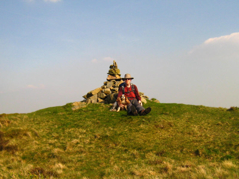
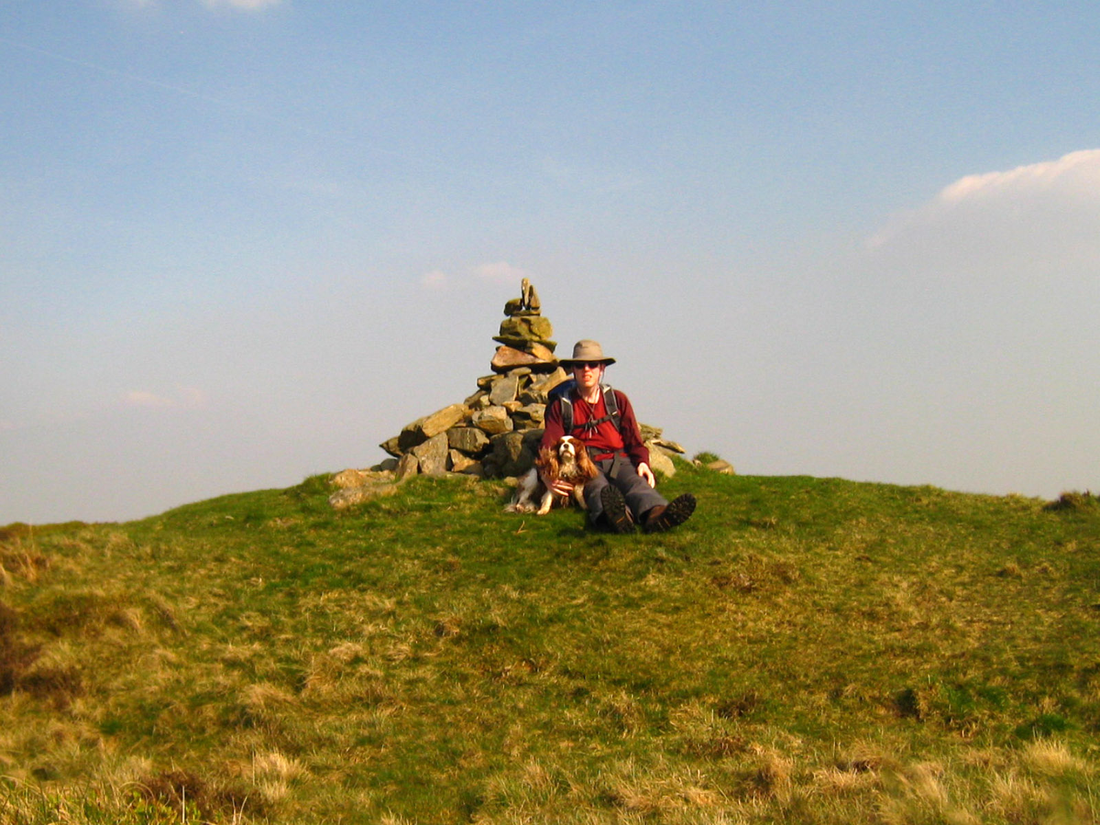
The two of us back on the cairned summit

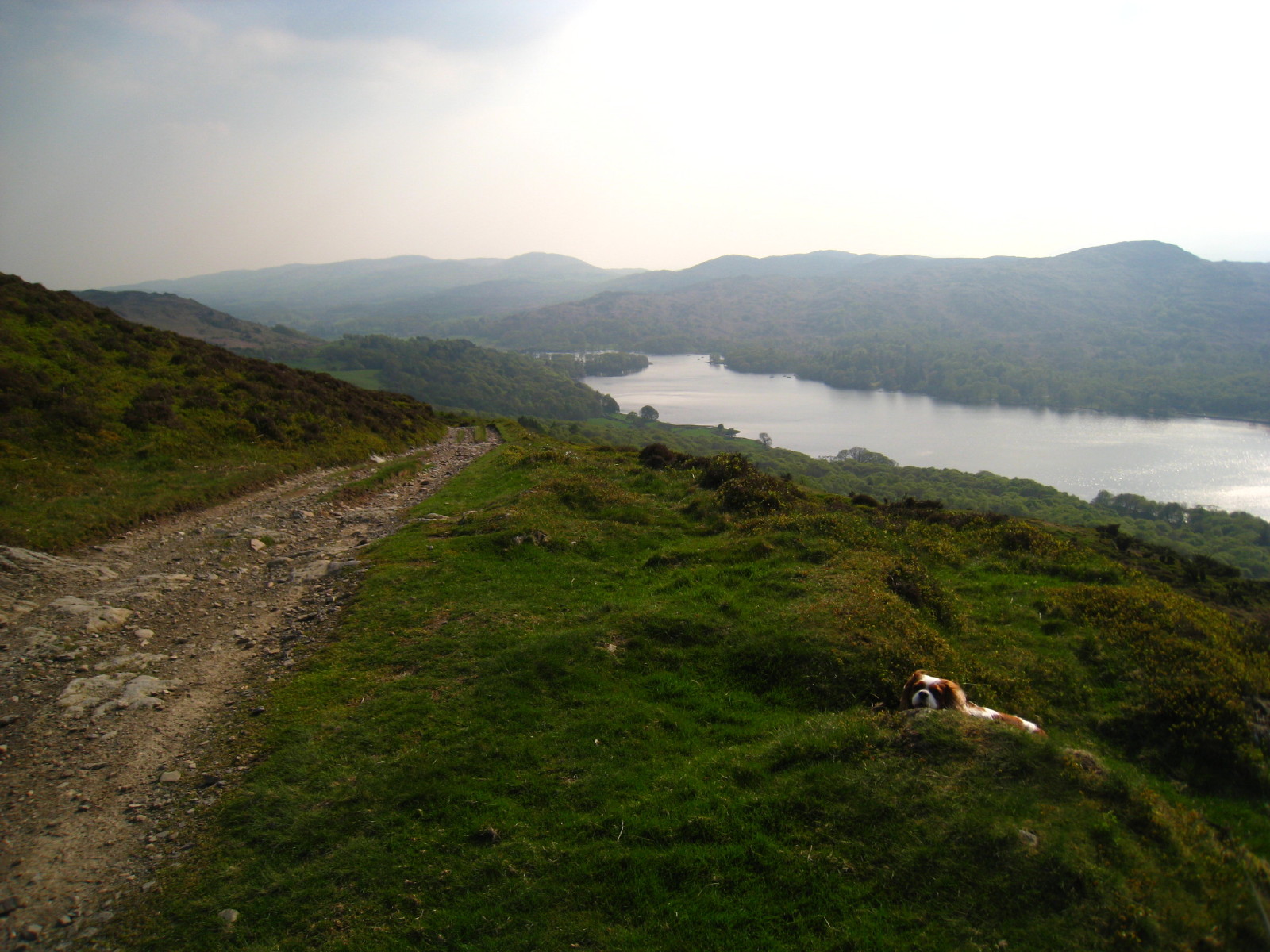
We then descended to the track which runs along the hillside, gradually falling
to High Nibthwaite. Here we can see
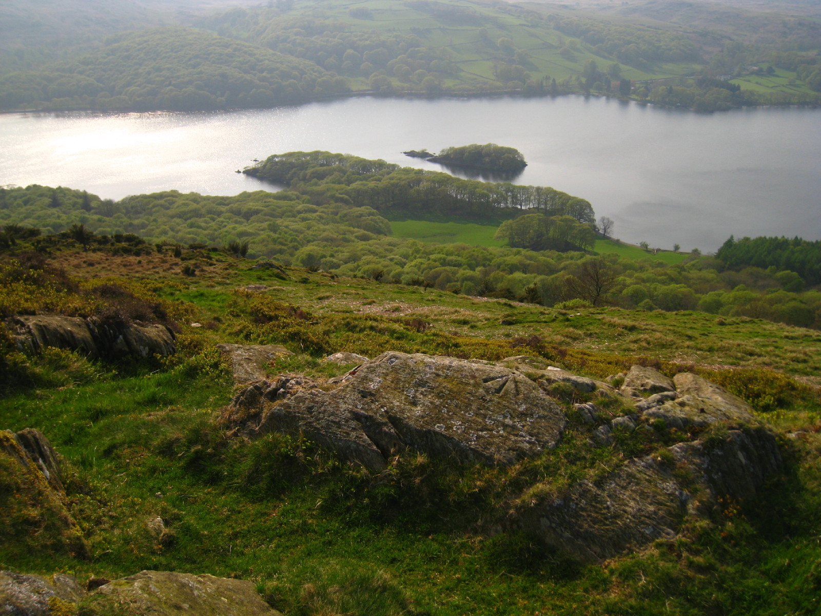
Peel Island, otherwise known as Wild Cat Island

Gradually descending towards High Nibthwaite
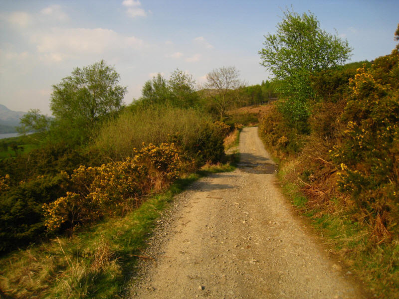
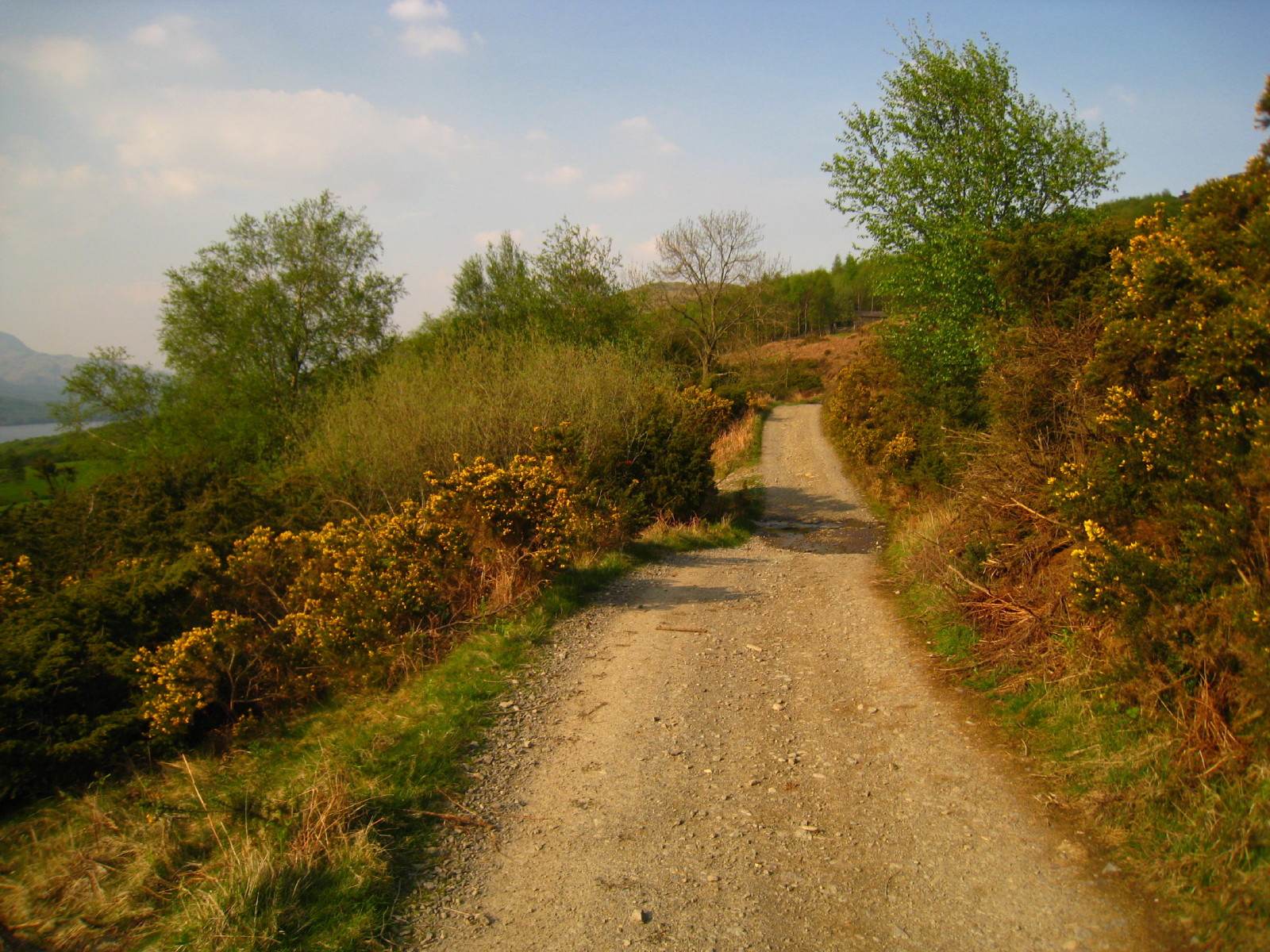
A look back along the lane.
Zoom in for more detail, or see map in larger window: Ordnance Survey |
Open Street Map |
Google Maps
A pleasant outing, with the paths on the moor more prominent than expected.
Total distance 6.9 km with 363 metres of ascent in 2 hours 30 minutes.
Lake District holiday, May 2008
|
|