Hartsop Dodd and Gray Crag
28 May 2011
Another dreary day, but one where there seemed to be a reasonably
clear window which would allow for a walk away from the highest fells. I
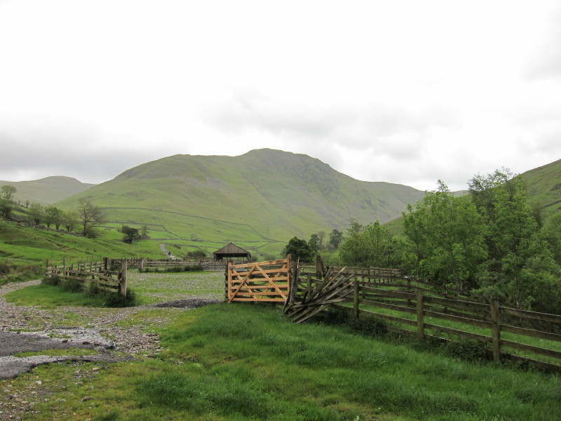
parked in the car park at the eastern end of the road through Hartsop,
making a donation to the school in lieu of any parking charge.
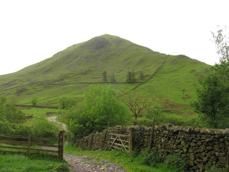
From the car park, looking to Hartsop Dodd. Our route lies up that wall
onto the ridge and then the ridge to the top.
From the same point, the last top of today's walk, Gray Crag. They have
the deep valley of Pasture Bottom between them, today's walk being a
walk right around that valley, taking in the other fells of Stony Cove
Pike and Thornthwaite Crag which we've already visited.
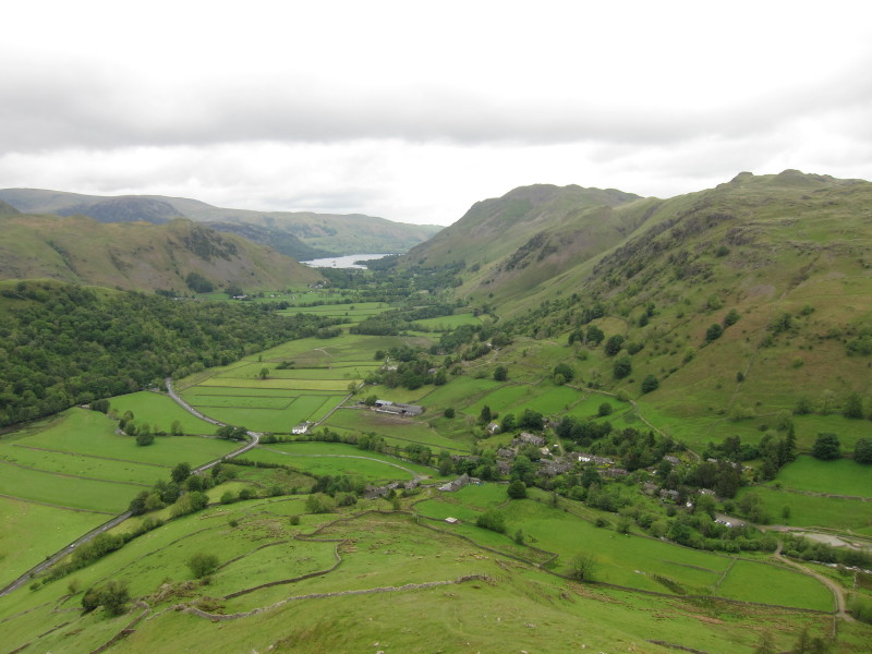
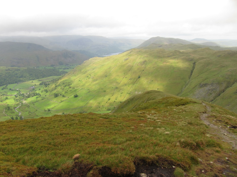
Making good progress, looking down on Hartsop village and towards the
southern end of Ullswater
On the ridge and gaining height
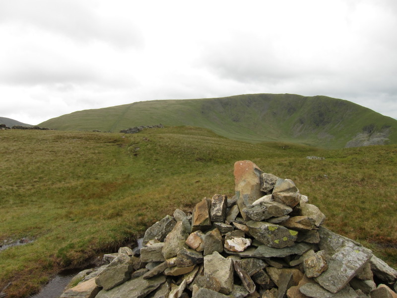
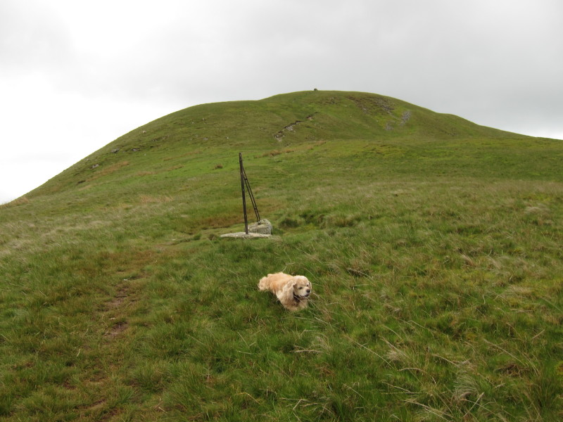
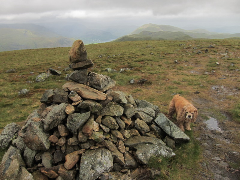
The cairn though not highest point of Hartsop Dodd, looking towards
Caudale Moor
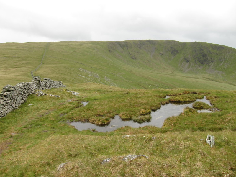
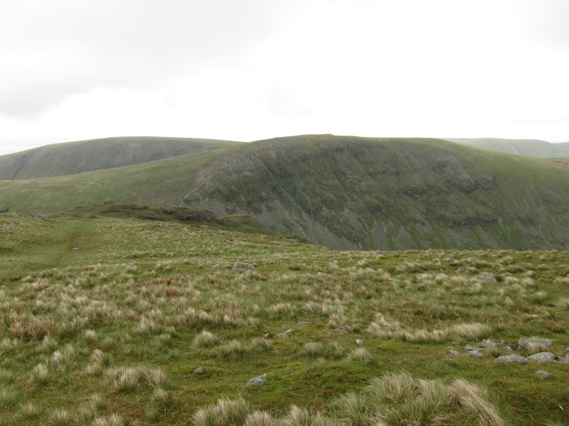
Progressing towards Caudale Moor and Stony Cove Pike
Looking back to Hartsop Dodd
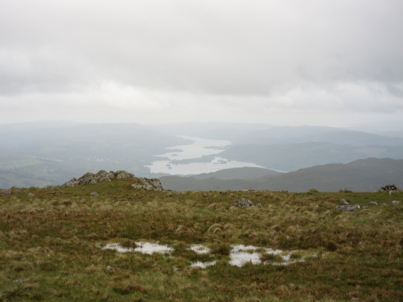
On Caudale Moor, Windermere looms out of the mist and increasing rain as
the wind picks up too.
Next destination is Thornthwaite Crag - the depression of Threshthwaite
Mouth between them is unseen from here and requires quite a descent
(which was slow because of the rough terrain and the rain) and reascent.
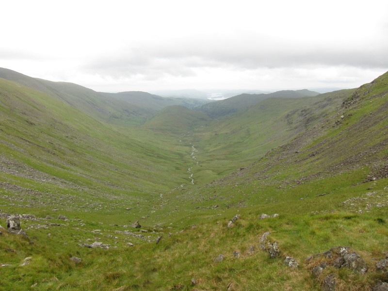
From the depression of Threshthwaite Mouth looking down the valley of
Trout Beck, interrupted by The Tongue, with part of Windermere just
visible.
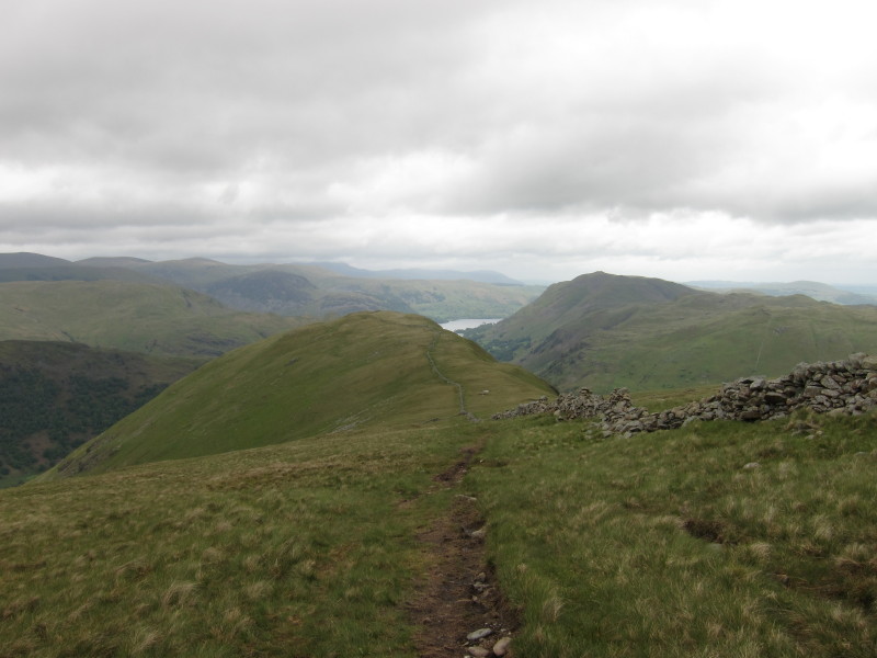
Having visited Thornthwaite Crag, we make our way over an unnamed summit
to Gray Crag
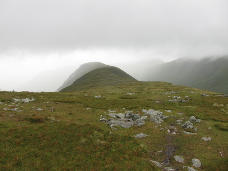
Looking back to Thornthwaite Crag left and Caudale Moor right, with
Threshthwaite Mouth between them
On Grey Crag
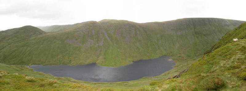
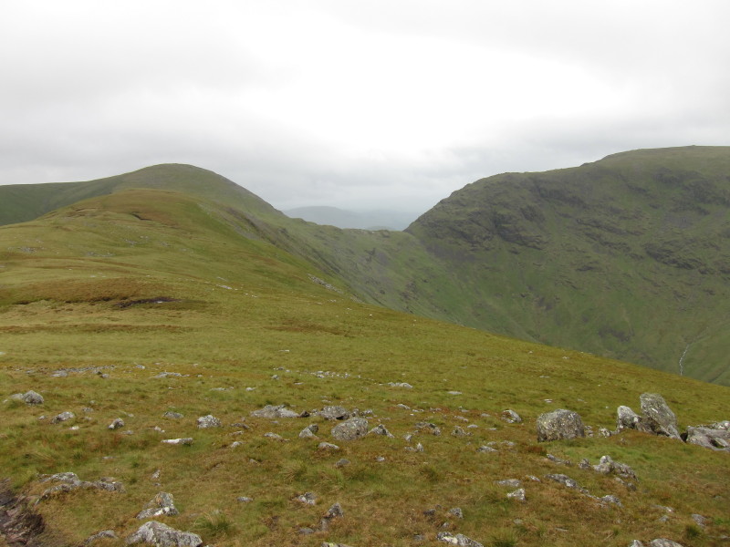
There is an impressive view along this ridge down into the next valley
containing Hayeswater
Approaching the end of the ridge and the beginning of the steepish but
easy descent to Hayeswater Gill, rain accompanying us most of the way
back to the car.
A shame about the weather but some impressive mountain scenery.
Total distance 10.1 km and 909 metres of ascent in 4 hours 35 mins
Lake District holiday, May 2011
|
|
