Steel Fell
29 May 2011
And on the final day, it has been a rainy morning but better is
promised for the afternoon, so it's time for another visit to the
Central Fells. I parked in the large layby on the A591 just north of
High Broadrayne.
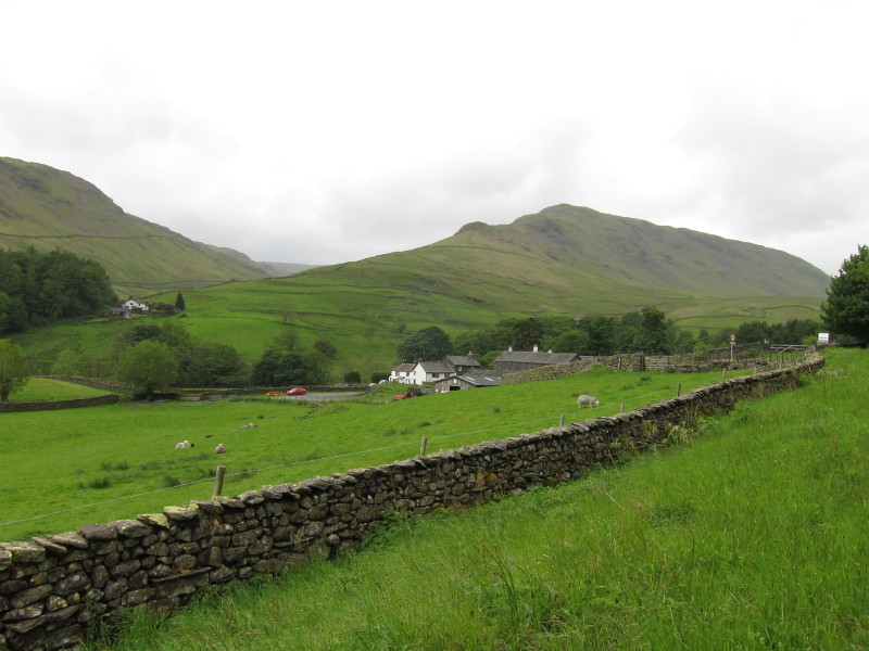
A view from the A591, looking to our main objective, Steel Fell.
Our route lies up the valley of Green Burn
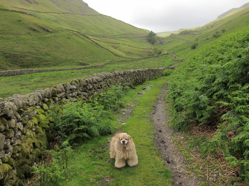
The old constructed footpath, presumably in connection with mining
somewhere, makes for good progress initially
...running near Green Burn. The path gradually deteriorates, however,
though the going isn't difficult.
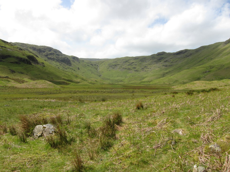
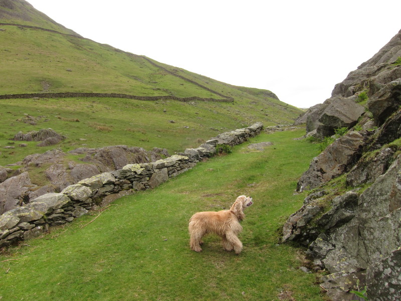
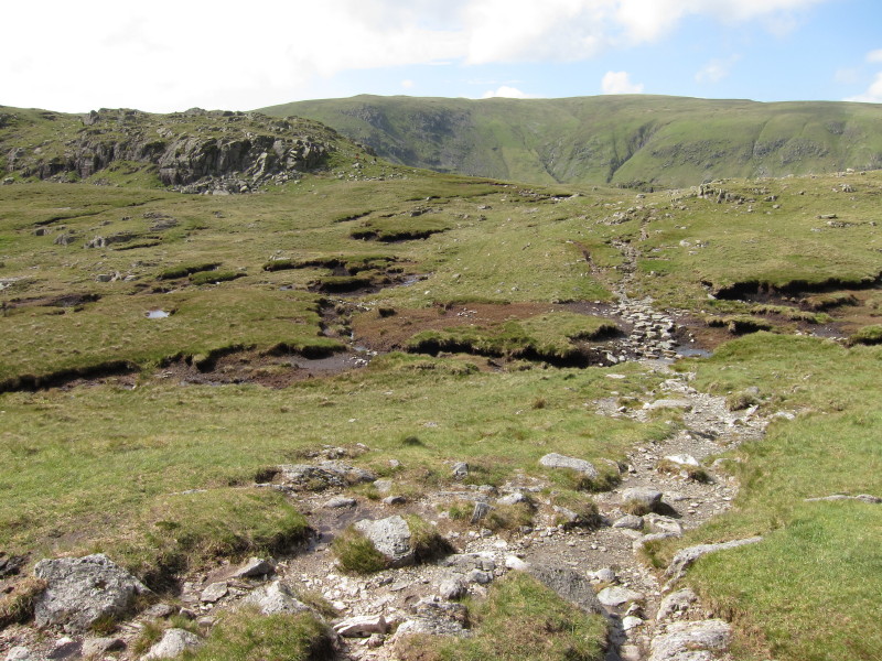
Suddenly, having been gradually ascending, we emerge at the edge of this
flat valley of Greenburn Bottom with its glacial debris.
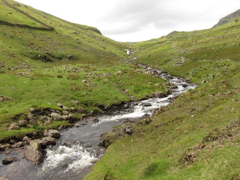
The path crosses Green Burn before beginning an ascent of the southern
side of the valley
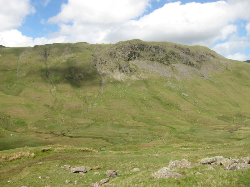
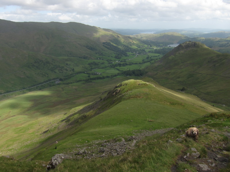
As we gain height, a look across Greenburn Bottom to Steel Fell
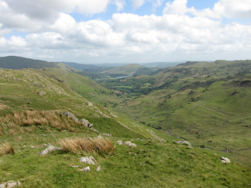
Having reached the top of the ridge, we look down the next valley over,
Far Easedale
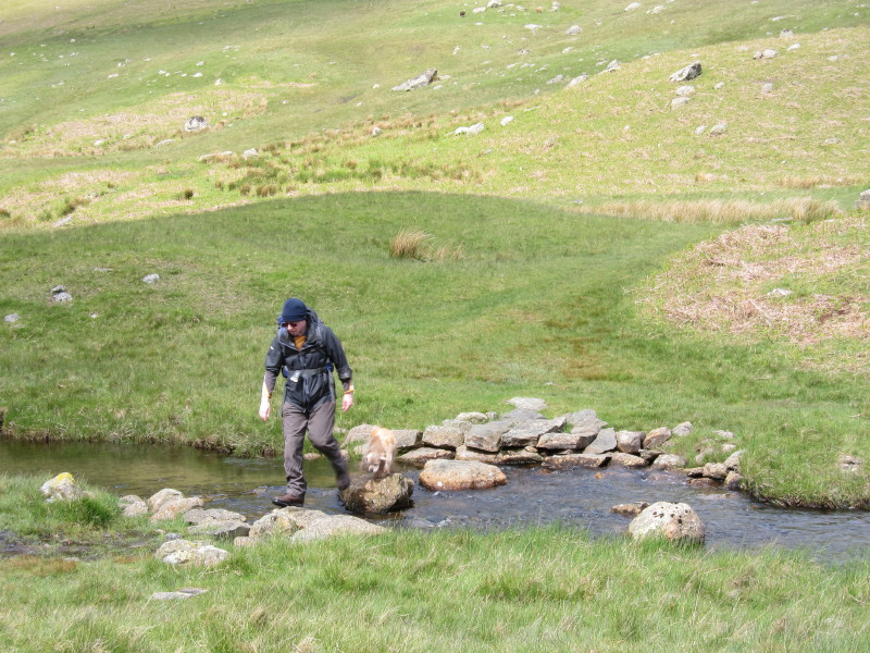
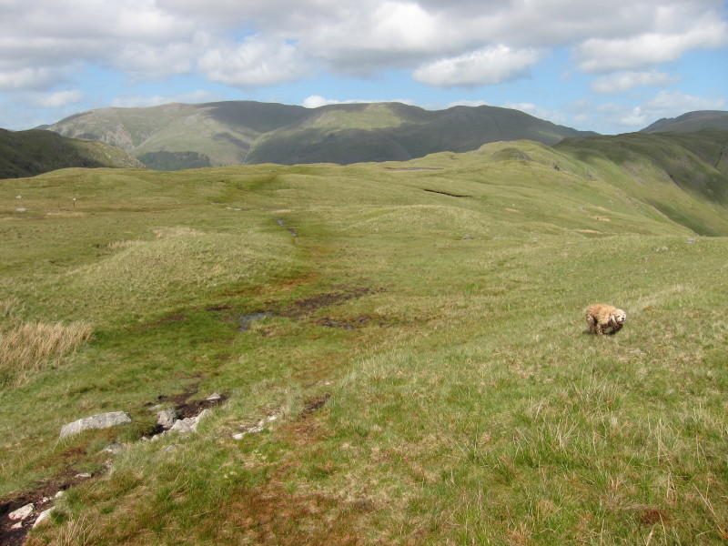
Heading across the peat that covers this part of the walk. I remember
last time we were here, George ignored the stepping stones and walked
across the peat. Fortunately it wasn't quite as damp and gooey today,
but he did just the same.
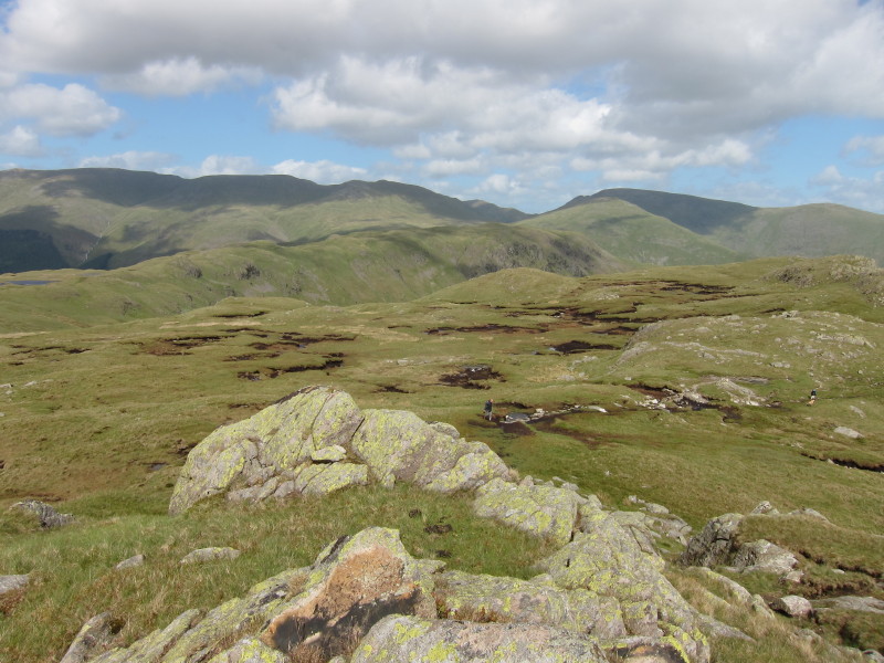
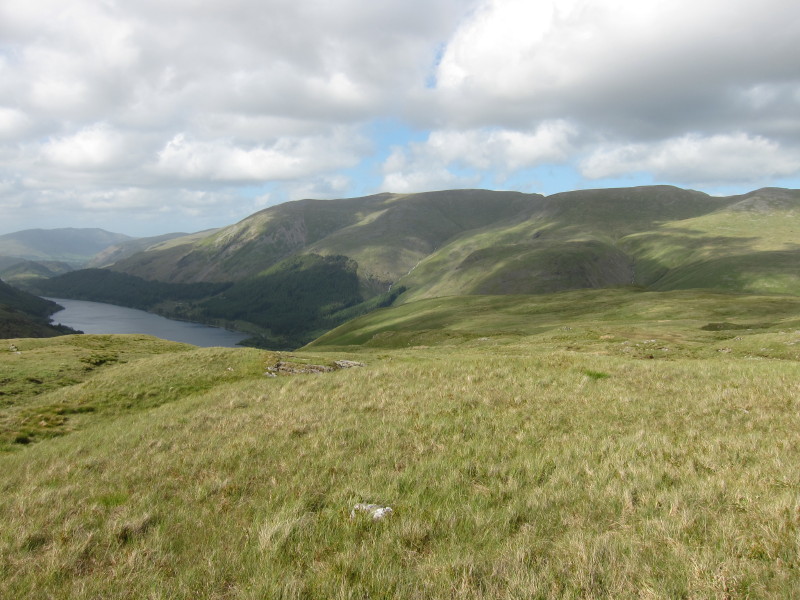
Looking back from Calf Crag, with Steel Fell in the middle distance on
the other side of Greenburn Bottom, with the hills rising to Helvellyn
further behind.
Looking down Far Easedale from Calf Crag
At last finding the initially indistinct path along the flat ridgeline
towards Steel Fell
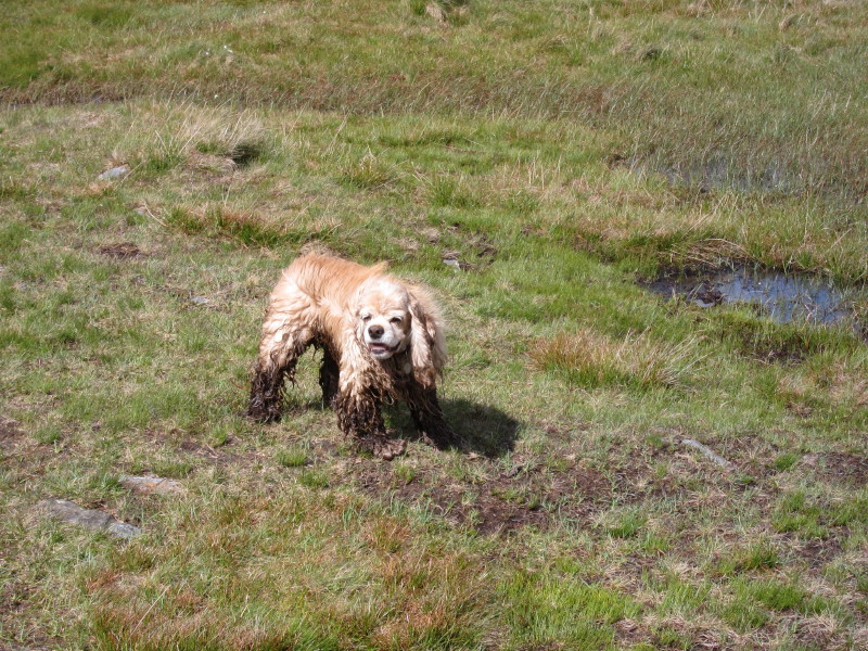
George showing evidence of his explorations
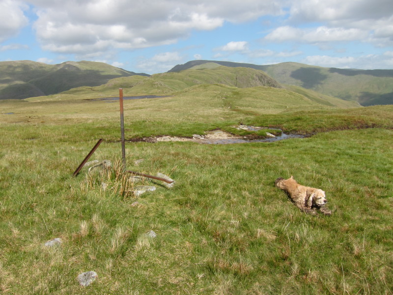
Remains of the old iron fence as we look towards Steel Fell
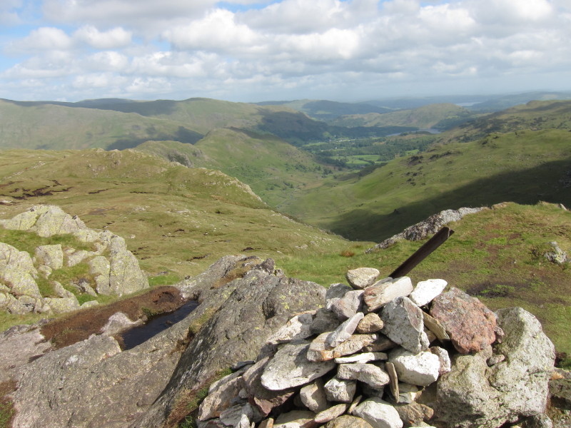
From Steel Fell, part of Thirlmere with the Helvellyn range to its
right.
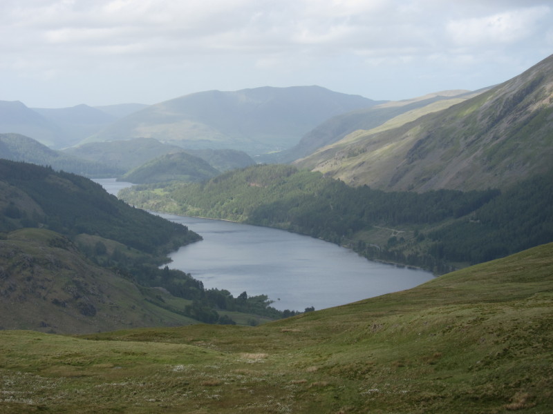
A closer view of Thirlmere, with Blencathra in the background
Descending the south-east ridge into the valley looking towards Grasmere
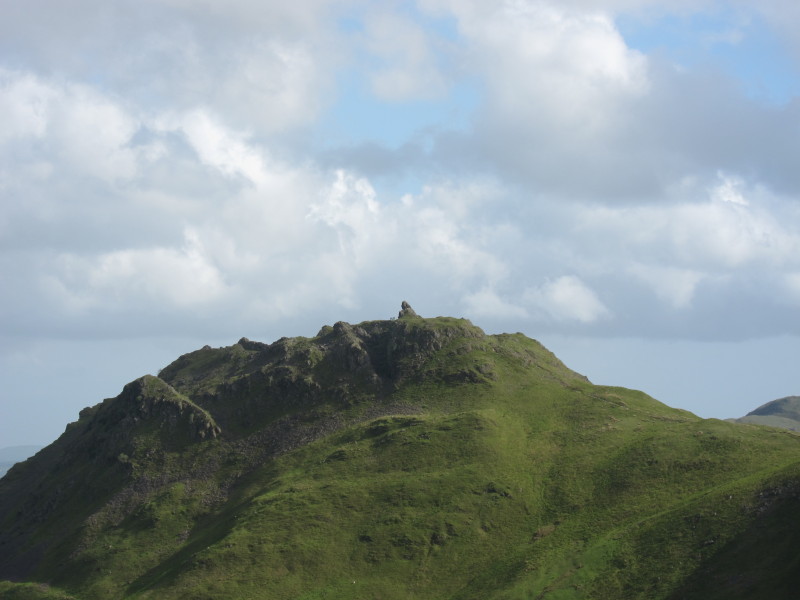
Across Green Burn to the distinctive summit rocks of Helm Crag.
And so soon back down into the valley and to the car after a pleasant
walk with some sunshine at last.
Total distance 9.9 km and 617 metres of ascent in 3 hours 49 mins
Lake District holiday, May 2011
|
|