Angles Way 11: St Olaves to Great Yarmouth
13 April 2013
After a long break from stage-walking, caused by a
combination of a bad chest infection and some terrible weather, I
returned to what was intended to be the final stage of the Angles Way.
But when I was checking the Norfolk County Council website last night to
see if there was any reference to any path closures, I found that they
said that "originally, the start point for Angles Way was at Knettishall Heath. A few years ago this
was extended by approximately 15 miles through the beautiful Breckland
countryside to link to Barnham Cross Common on the edge of Thetford." I'm not
sure about the reference to "a few years ago" - certainly it isn't
reflected on Ordnance Survey maps nor on the information board at the
Knettishall Heath or Great Yarmouth ends. Anyway, it will be a pleasant
walk to do some day.
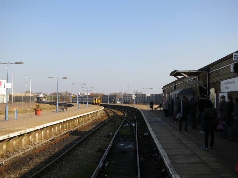
For today, George and I started with a drive to Great Yarmouth. Here we
are at Great Yarmouth Station (note the unusual inclusion of the word
'Station' on the station name board) waiting for the 0917 train which
will take us west.
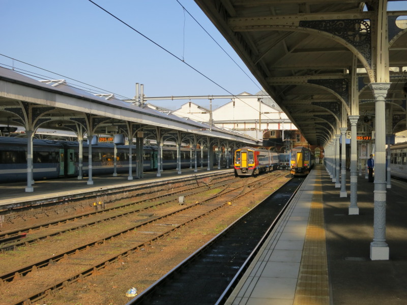
And here we are Norwich after a delightful journey, waiting for the 1005
to Lowestoft, which turned out to be the carriages that had brought us
from Great Yarmouth.
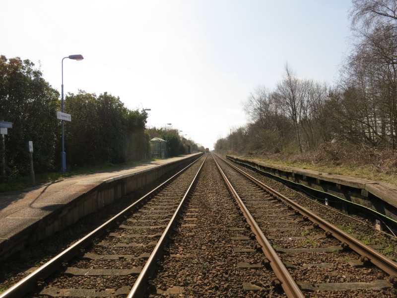
The train to Lowestoft disappears into the distance after dropping us at
Haddiscoe
From Haddiscoe station it is a kilometre walk along the station approach
lane (seen to the right of the railway) before climbing over the bridge
over the New Cut and into the village of St Olaves.
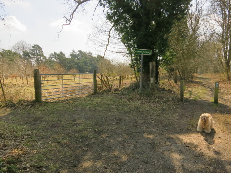
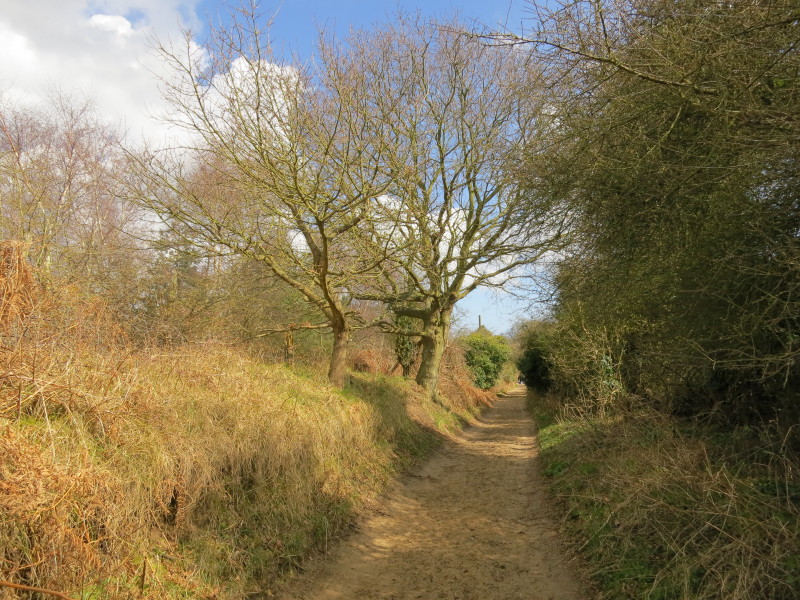
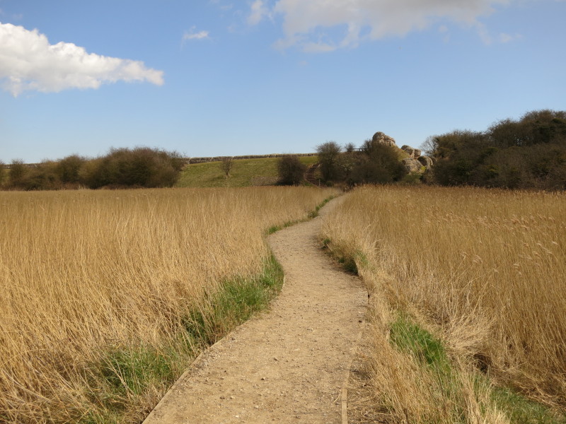
A walk along the road through St Olaves and up the hill eventually
brings us to this point where after 2.8 km of walking and more than two
hours after arriving in Great Yarmouth we have finally reached the
Angles Way
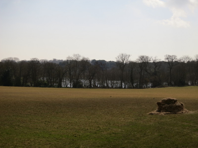
A glimpse through the trees of the lake known as Fritton Decoy
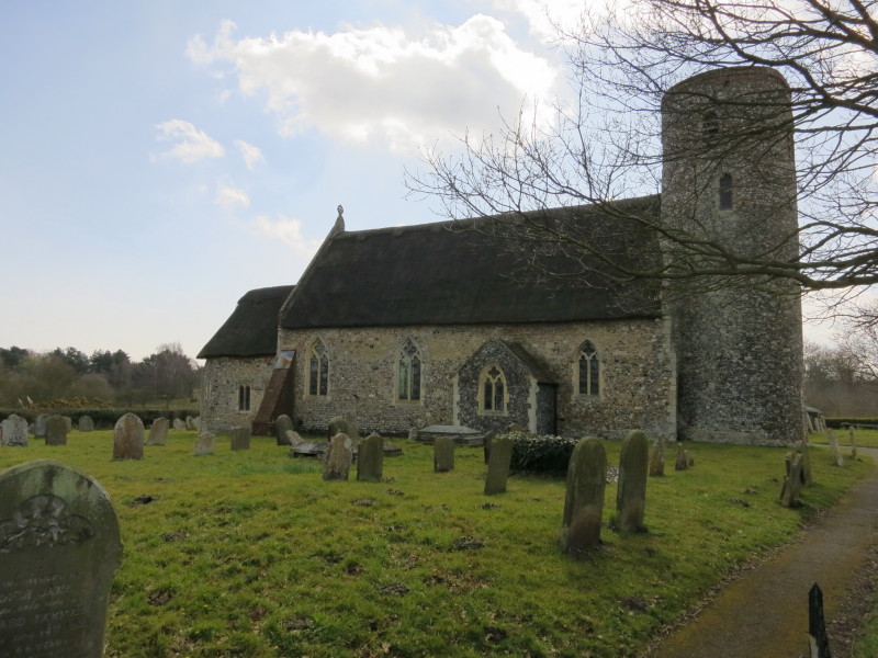
The unrestored church of St Catherine on the edge of Fritton apparently has
15th century panel paintings, but was closed today.
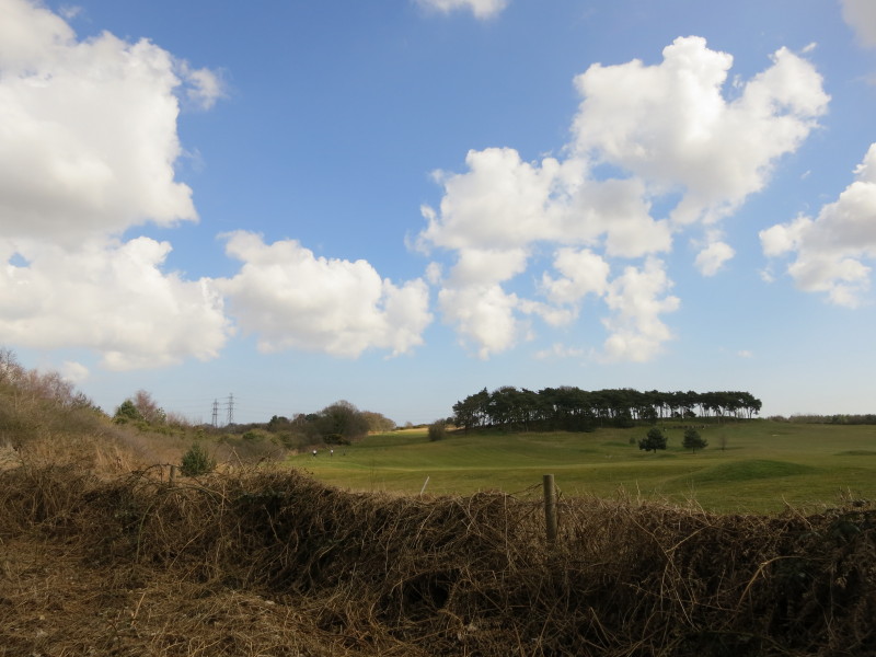
Having at long last left the A143 behind, a track across fields leads to
a sandy track with views of a golf course
The sandy track is apparently called Sandy Lane. It eventually turned to
tarmac and led me into the fringes of the large village of Belton - the
parts of the village that I saw were uninspring though perhaps there are better bits.
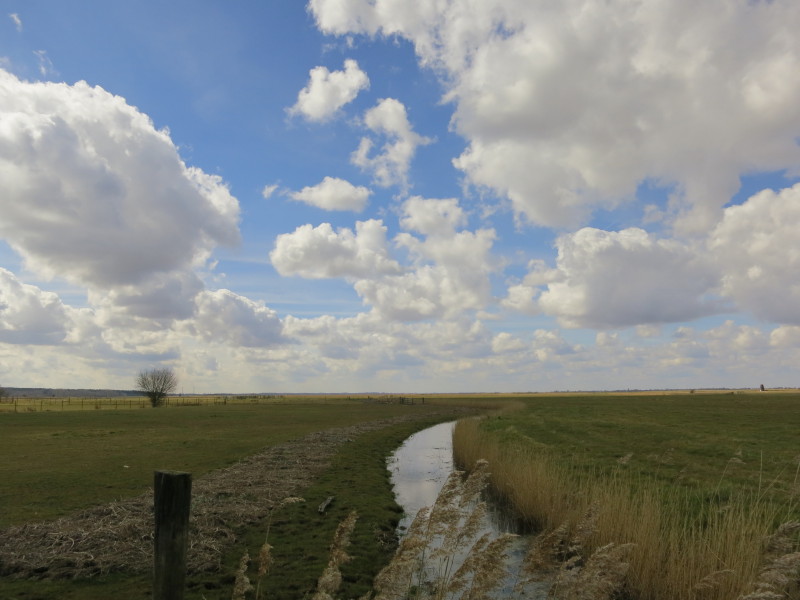
A track called River Way led us finally to the marshes
and soon to the River Waveney

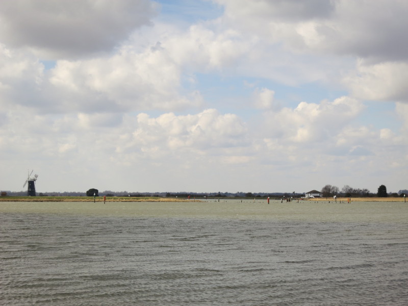
A boatyard, with in the far distance Berney Arms Mill
George cheerfully waits for me on a little bridge over a drainage ditch
Turning briefly away from the river, the view in front is of Burgh
Castle, built by the Romans, and possibly their Gariannonum though that
may be at Caistor-on-Sea.
When built in 400, the fort was on the shore of the huge estuary of
which Breydon Water is the small remnant (together with the huge area of
marshes around the rivers Yare, Waveney and Bure). Here we look across
the mouth of the River Waveney to Berney Arms Mill. The mill is actually
on the far side of the River Yare. The two rivers meet just to the right
of centre, and the waters opening to the right are the start of Bredon
Water
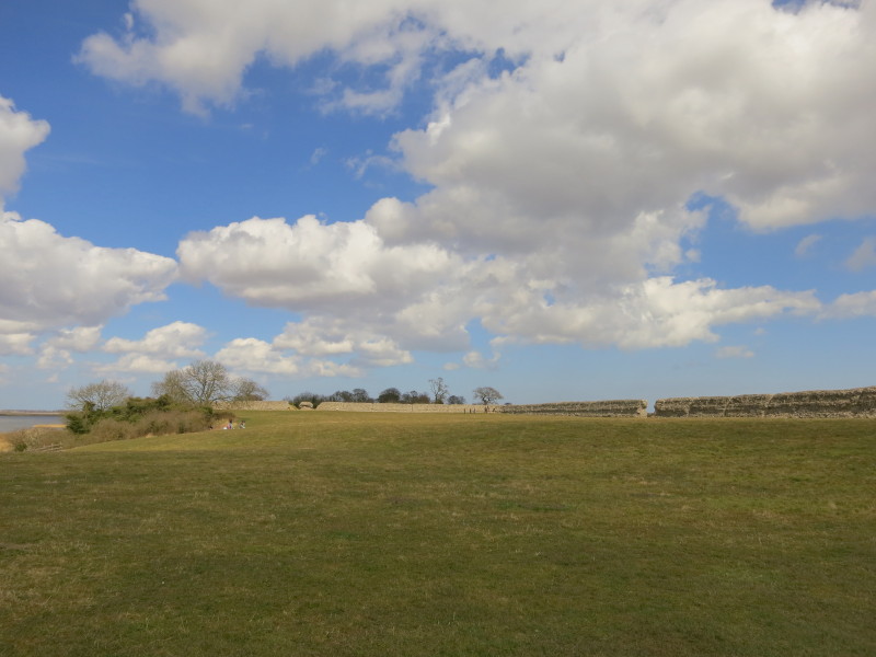
Part of Burgh Castle
Returning to the path, we pass the meeting of the Waveney and Yare.
Berney Arms Mill (originally a windmill and later a windpump, the tallest
such
in Norfolk) is on the left, with Berney Arms itself (the public house)
on the right. Neither has any road access and can only be reached by
boat, a 3½-mile walk, or by train (though its a pretty infrequent
service).
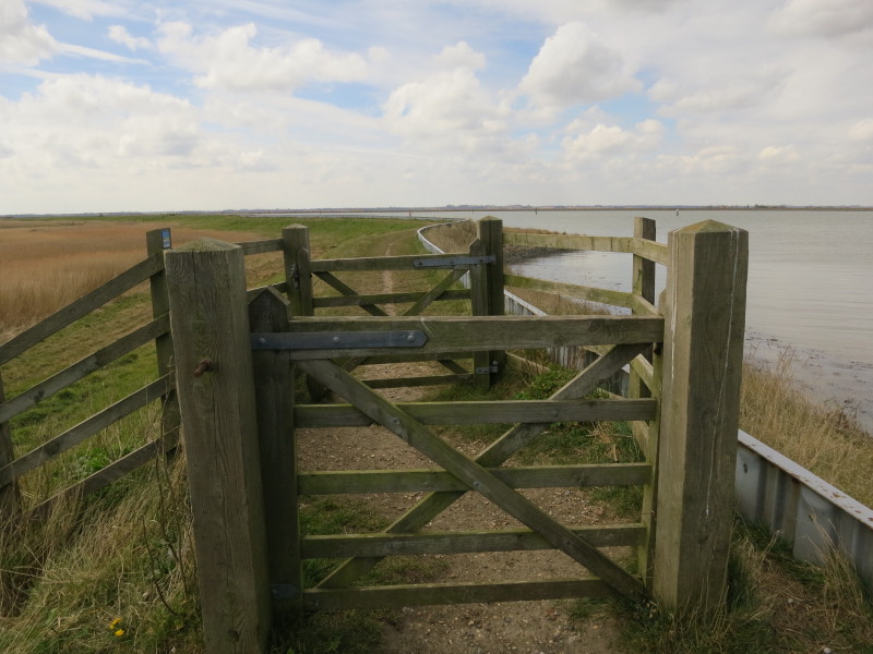
The long walk along Breydon Water is enlivened by quite a few of these
double gates. This is the only place where I've encountered these -
presumably intended to reduce the risk and consequences of walkers leaving one open,
though it's quite possible to leave two open, and the slight irritation
at having to open and close two gates is, I suggest, likely to increase
the probability of gates being left open.
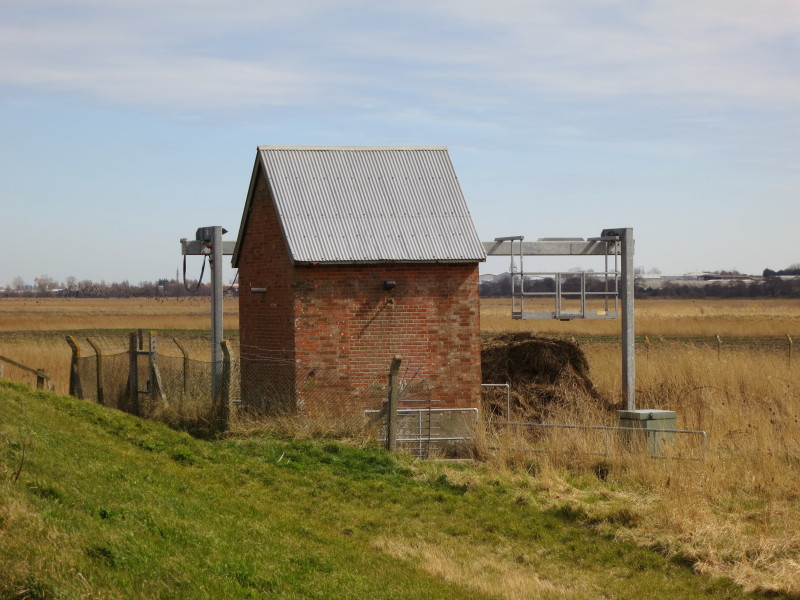
A grab at the end of a drainage ditch removes reeds from the water
before it goes into the pump house to be lifted into the river.
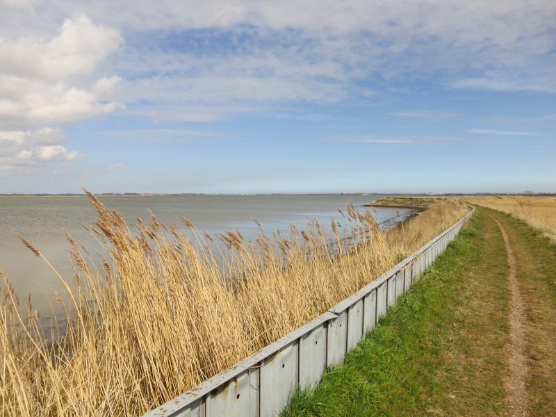
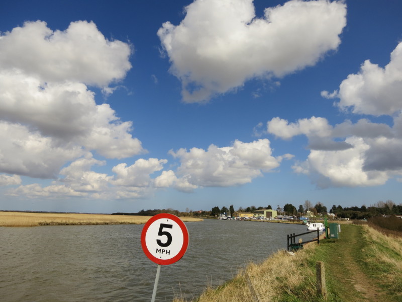
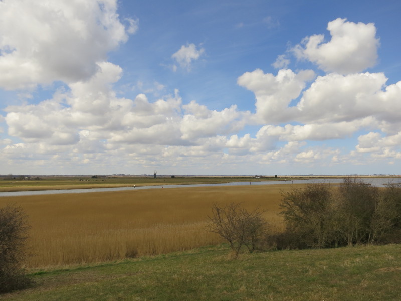
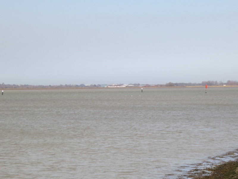
Looking across Breydon Water, with Great Yarmouth in the far distance,
taking a long time to get much closer.
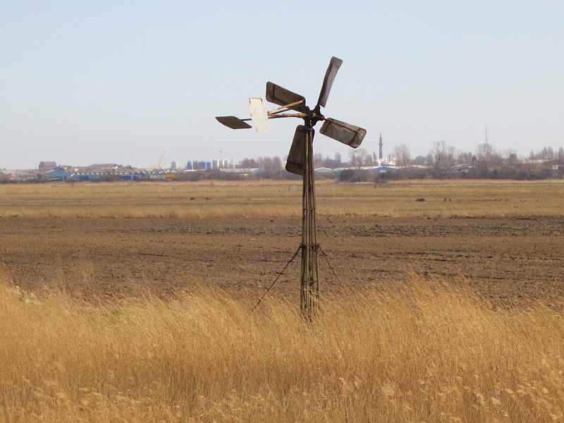
An old windpump, with Great Yarmouth finally starting to be a bit closer
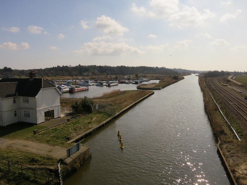
Across Breydon Water, a train heads from Norwich to Great Yarmouth
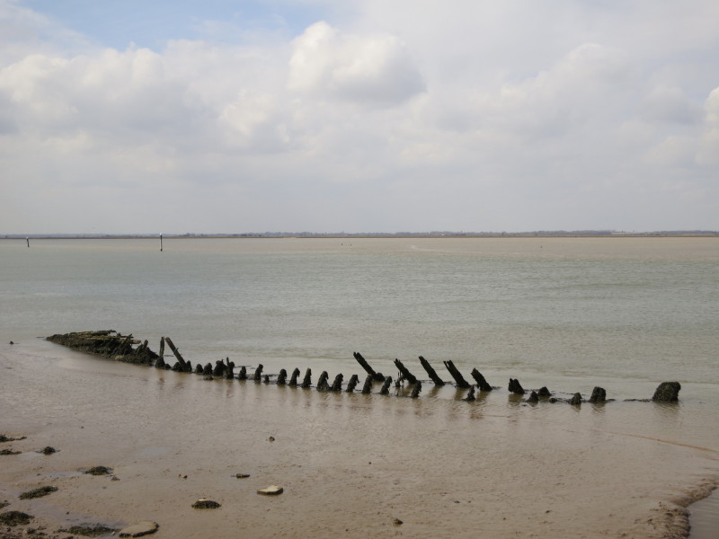
The tide is on its way out, and the mud flats appear fairly quickly as
they have little slope, revealing several former boats
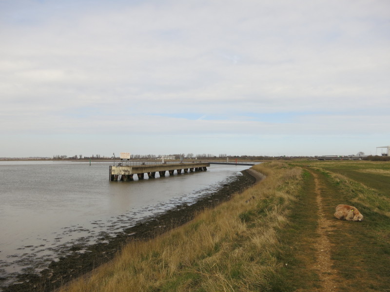
A jetty for large boats to moor up, presumably to wait for the tide to
be right to navigate through Great Yarmouth.
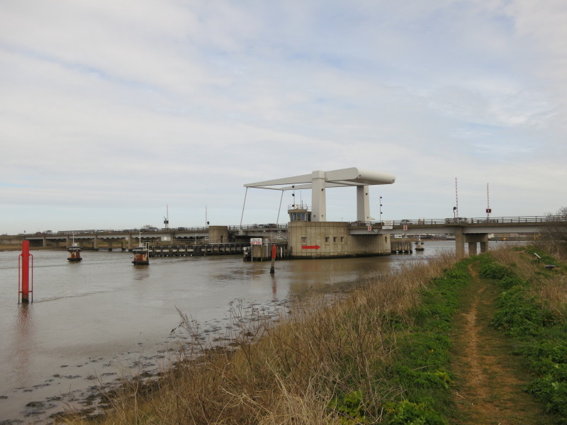
Breydon Bridge was built in the 1980s on the alignment of a railway
bridge closed in 1953 and demolished in 1962.
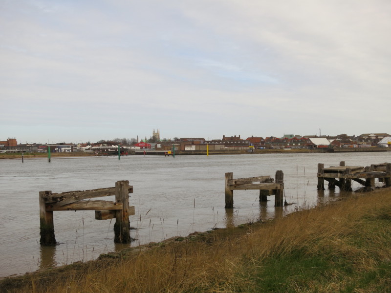
Once under Breydon Bridge, the mouth of the River Bure can be seen -
boats must round the yellow pole. Vauxhall Bridge across the Bure can be
seen to the left of the church tower. The uninspiring Great Yarmouth
railway station is on the left of picture, where we will finish our
walk.
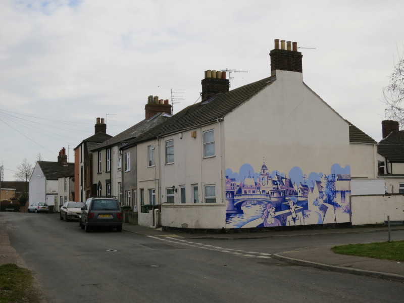
First we continue parallel with the river, passing this interesting
mural
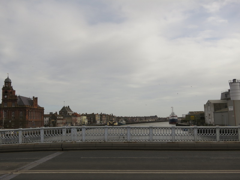
Crossing Haven Bridge, looking down river towards the sea. This bridge
moves quite remarkably with the passage of even small vehicles.
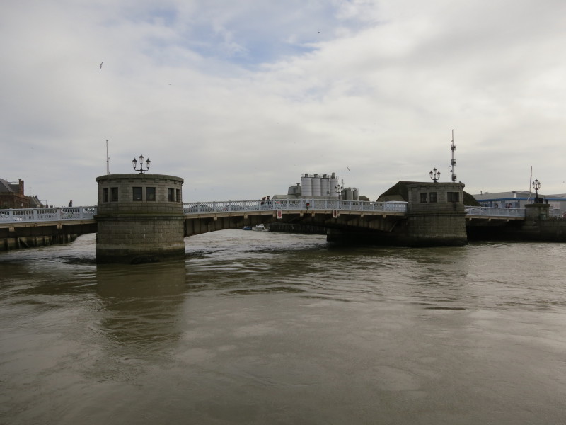
Heading back up river on the other bank, a look back at Haven Bridge.
The force of the tide pouring out rapidly under the bridge was really
quite impressive
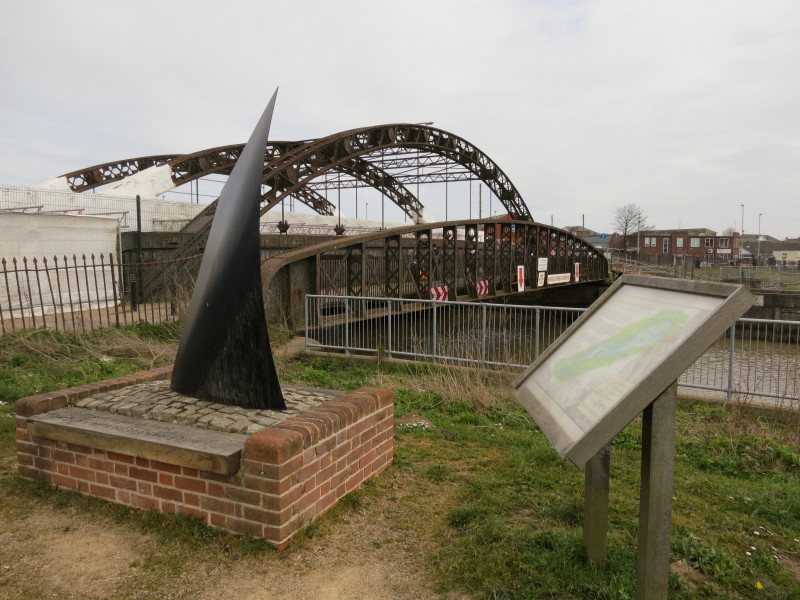
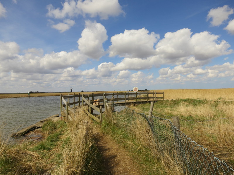
A short walk then brought us across Vauxhall Bridge (at one time shared
between pedestrians, road vehicles and trains, but now limited to
pedestrians and undergoing restoration) to this sculpture and
information board. This is the Three Ways Meeting Point, where the
Angles Way, Weaver's Way and Wherryman's Way all meet. Perhaps one day I
will walk on along the Weaver's Way to Cromer or the Wherryman's Way to
Norwich.
For now it was across the road to the car and home after a delightful
walk concluding the Angles Way - a route very much recommended.
Total walk was 17.8 km in 4 hours 34 mins (14.9 km in 3 hours 53 mins of
progress along the Angles Way). That completes the Angles Way - except possibly
for the "new" section from Thetford to Knettishall Heath.


|