Paddington Branch of GUC from Willesden and
Capital Ring 9: Greenford to South Kenton
6 January 2008
Today's walk combined two routes, picking up the Paddington Branch of the Grand
Union Canal where we left
it in July, and then another stage of the Capital Ring.
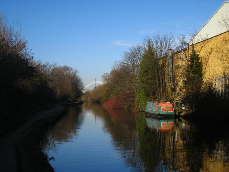
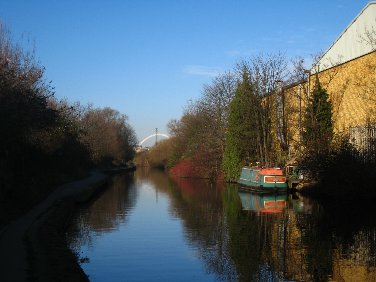
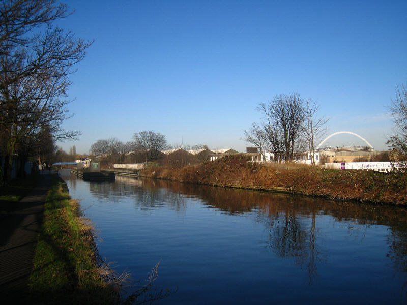
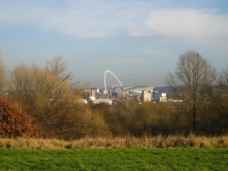
After walking from Willesden Junction station, we join the towpath of the
Paddington Branch of the Grand Union Canal as it takes its level course
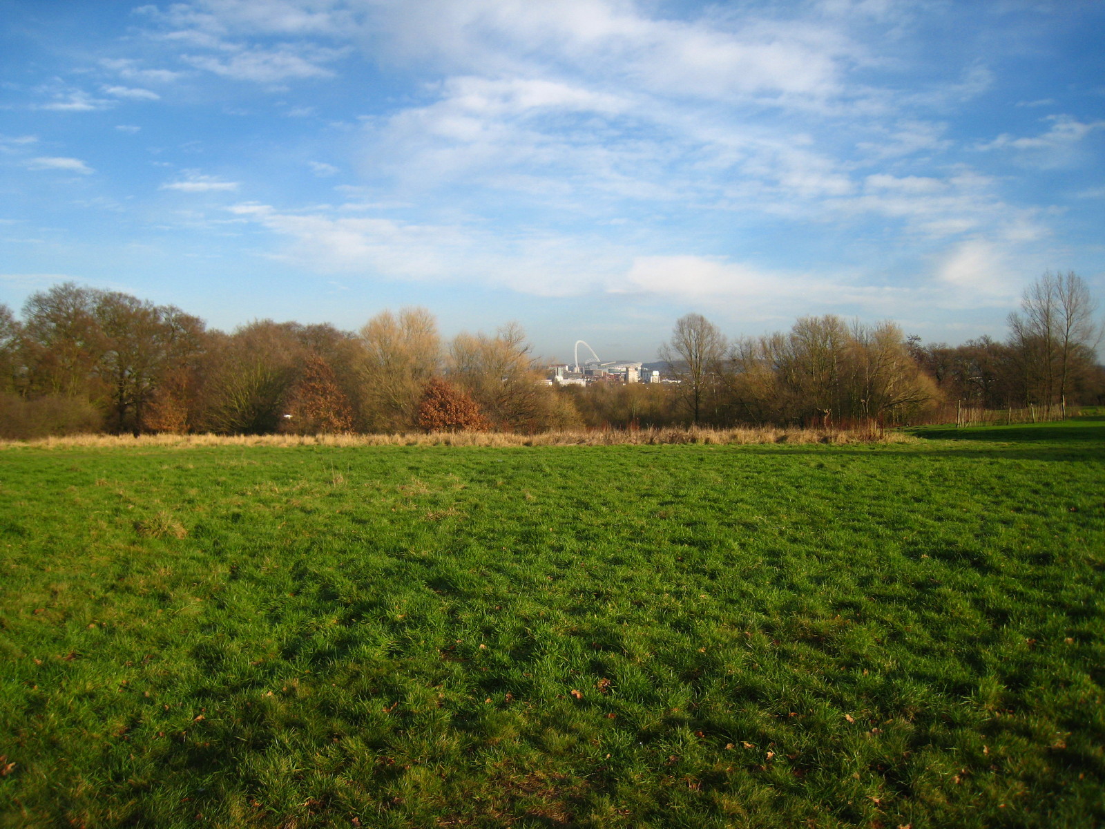
westwards across London towards Bulls Bridge. In the distance can be seen the
arch of Wembley Stadium.
On the left is the aqueduct carrying the canal over the North Circular Road
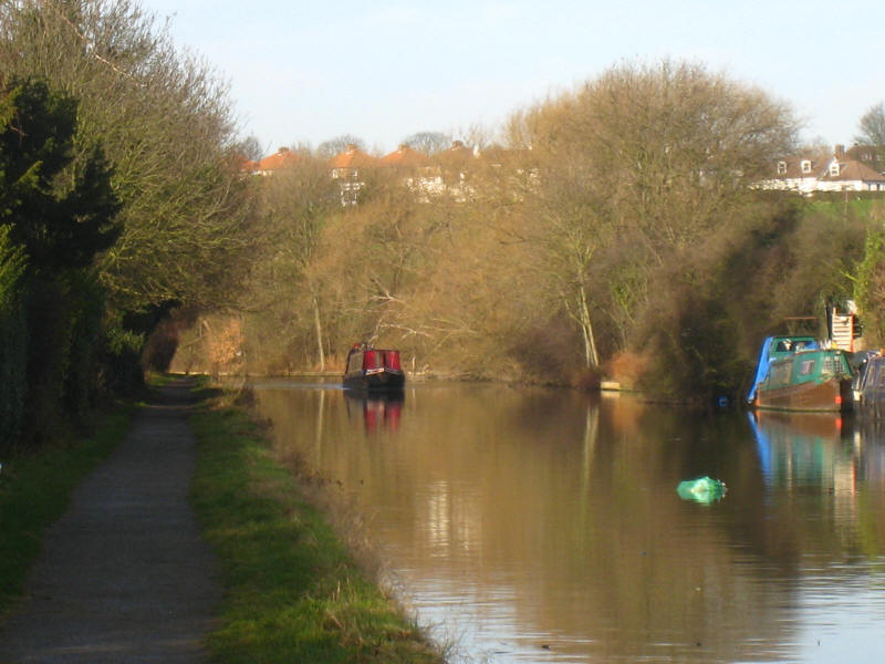
One of the three narrowboats we saw on the move today
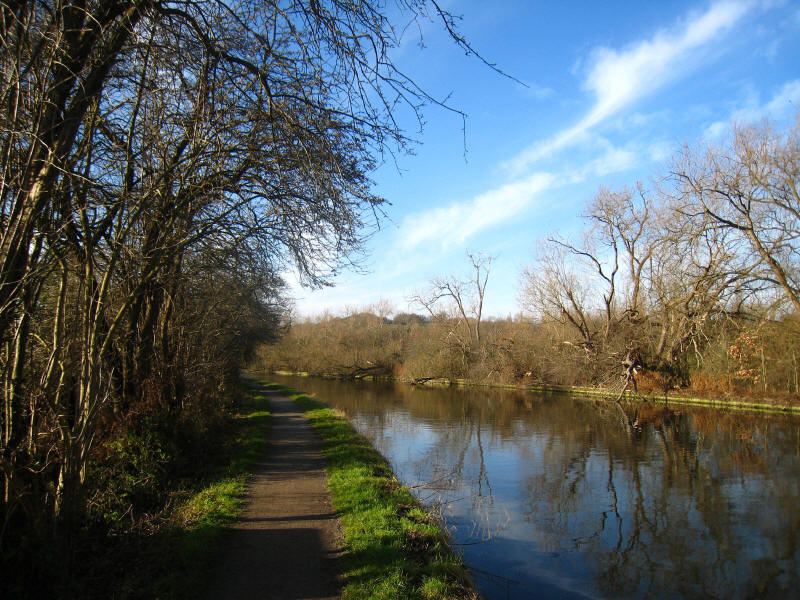
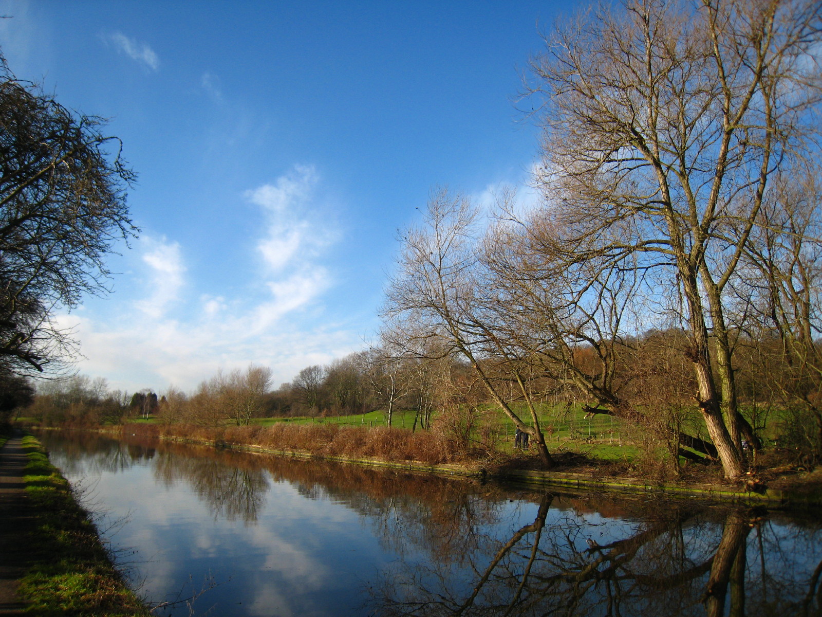
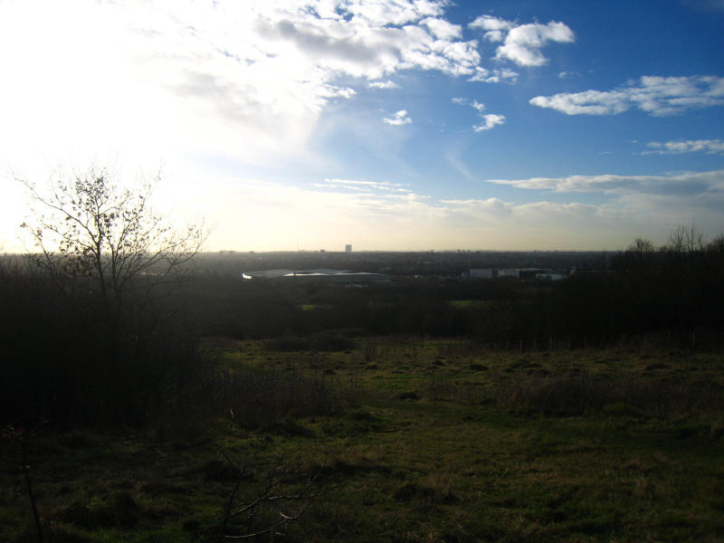
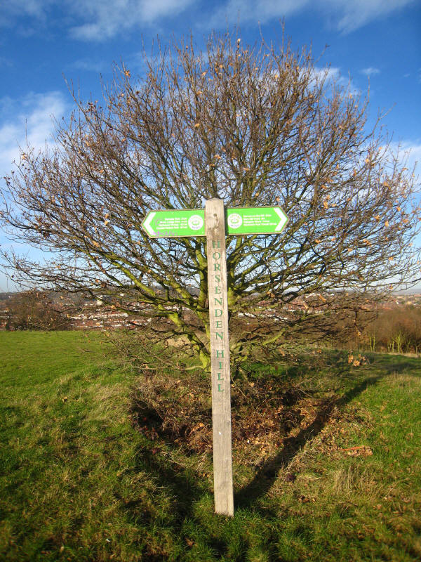
The high-point of the horizon is Horsenden Hill, a landmark that was to toy with
us for quite a while until we eventually conquered it - the planning of this
walk was slightly odd, as you may see.

Passing the golf course on the eastern slopes of Horsenden Hill
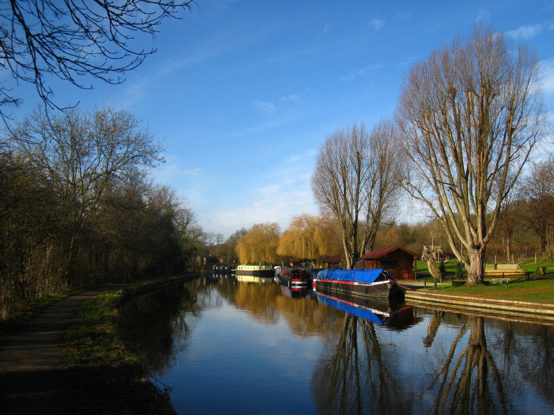
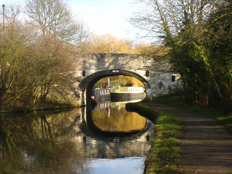
Moored boats and wooden sculptures. Just round the corner is the bridge which
takes the Capital Ring up Horsenden Hill, but planning ahead a future walk will
join together the remainder of the Paddington Branch with stage 8 of the Capital
Ring, but there was a gap between the two, so a section of the towpath was
walked in one direction as the Paddington Branch westwards, and then coming back
as the Capital Ring clockwise!
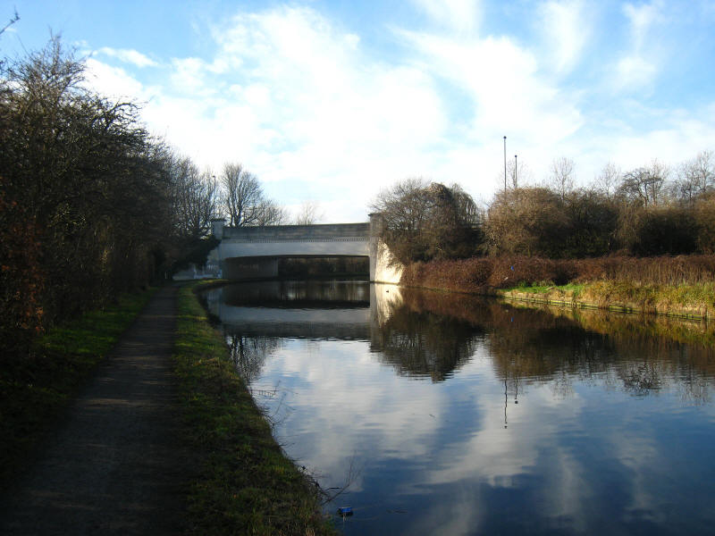
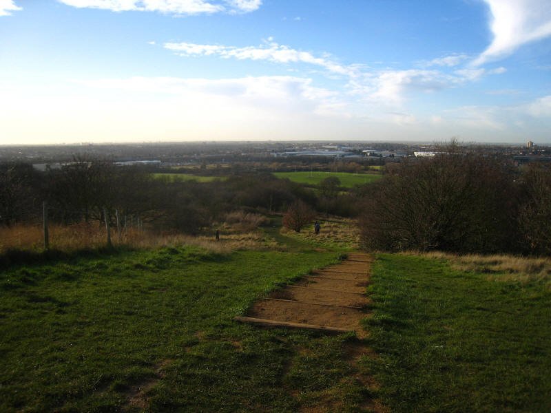
Approaching the bridge which carries the A4127 Greenford Road over the canal,
and which marks the end of following the canal west.
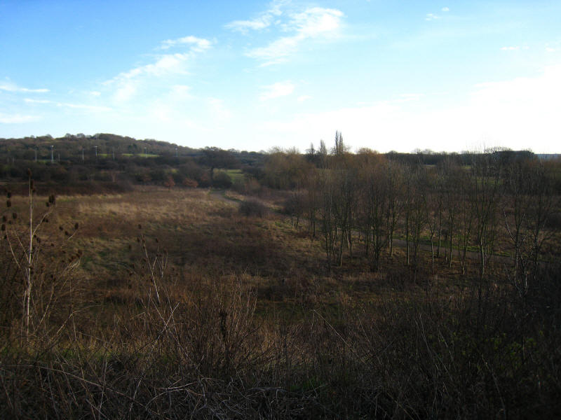
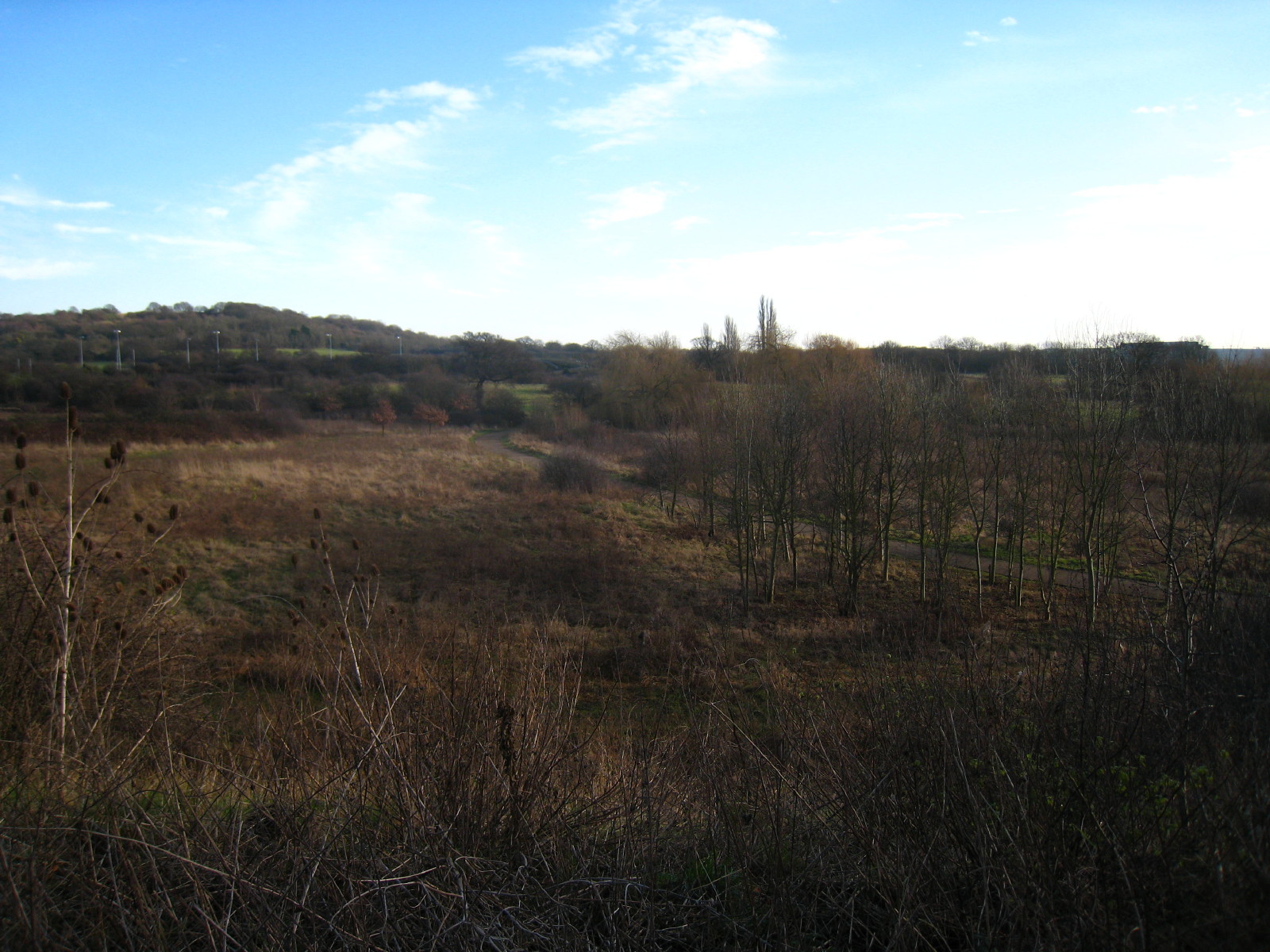
We turned off and walked a short distance along Greenford Road, looking down
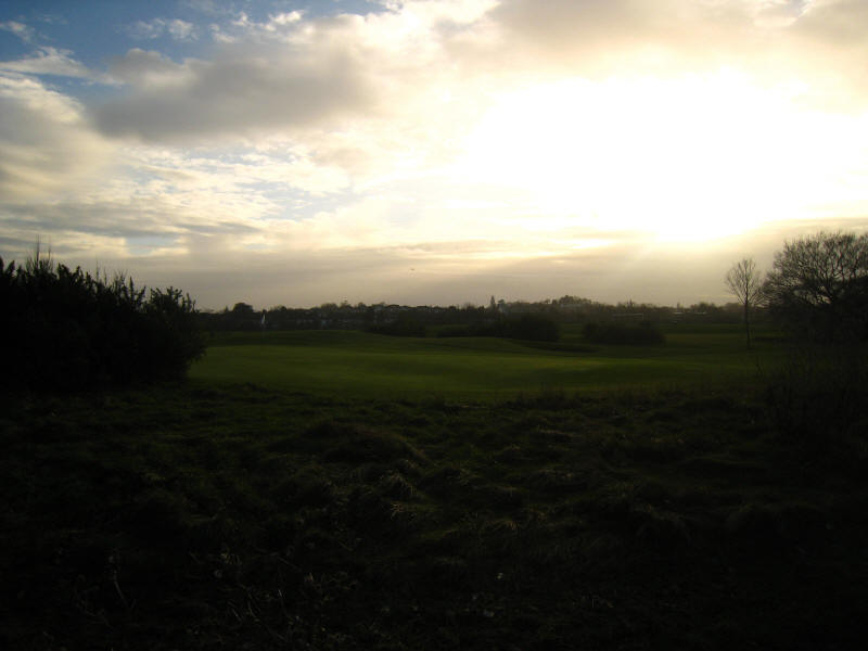
over Paradise Fields Wetlands, a relatively recently created nature reserve
converted from a golf course. In the distance can be seen Horsenden Hill.

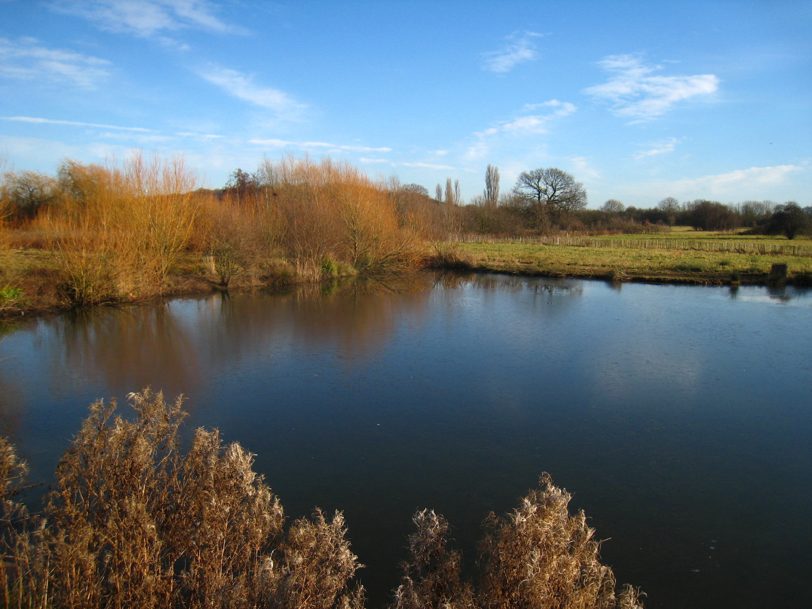
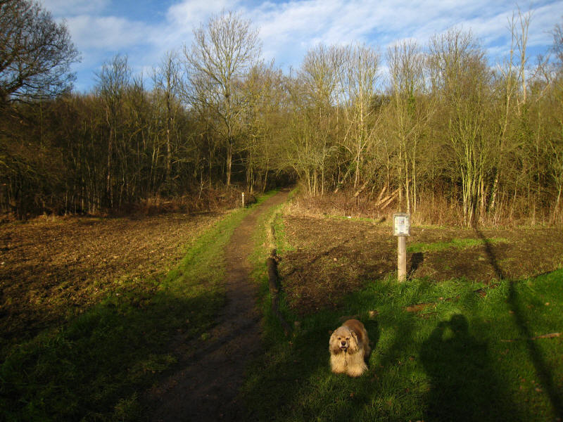
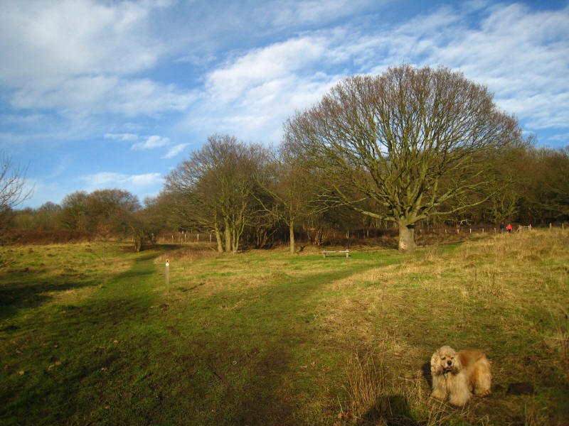
We joined the Capital Ring and stopped in Paradise Fields for lunch
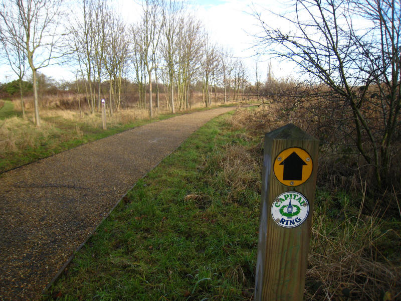
Evidence that we are now on stage 9 of the Capital Ring
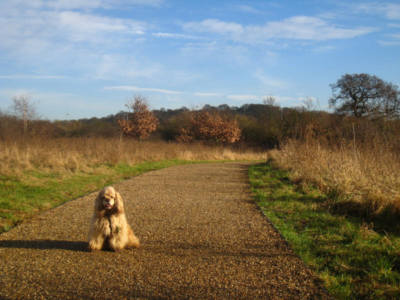
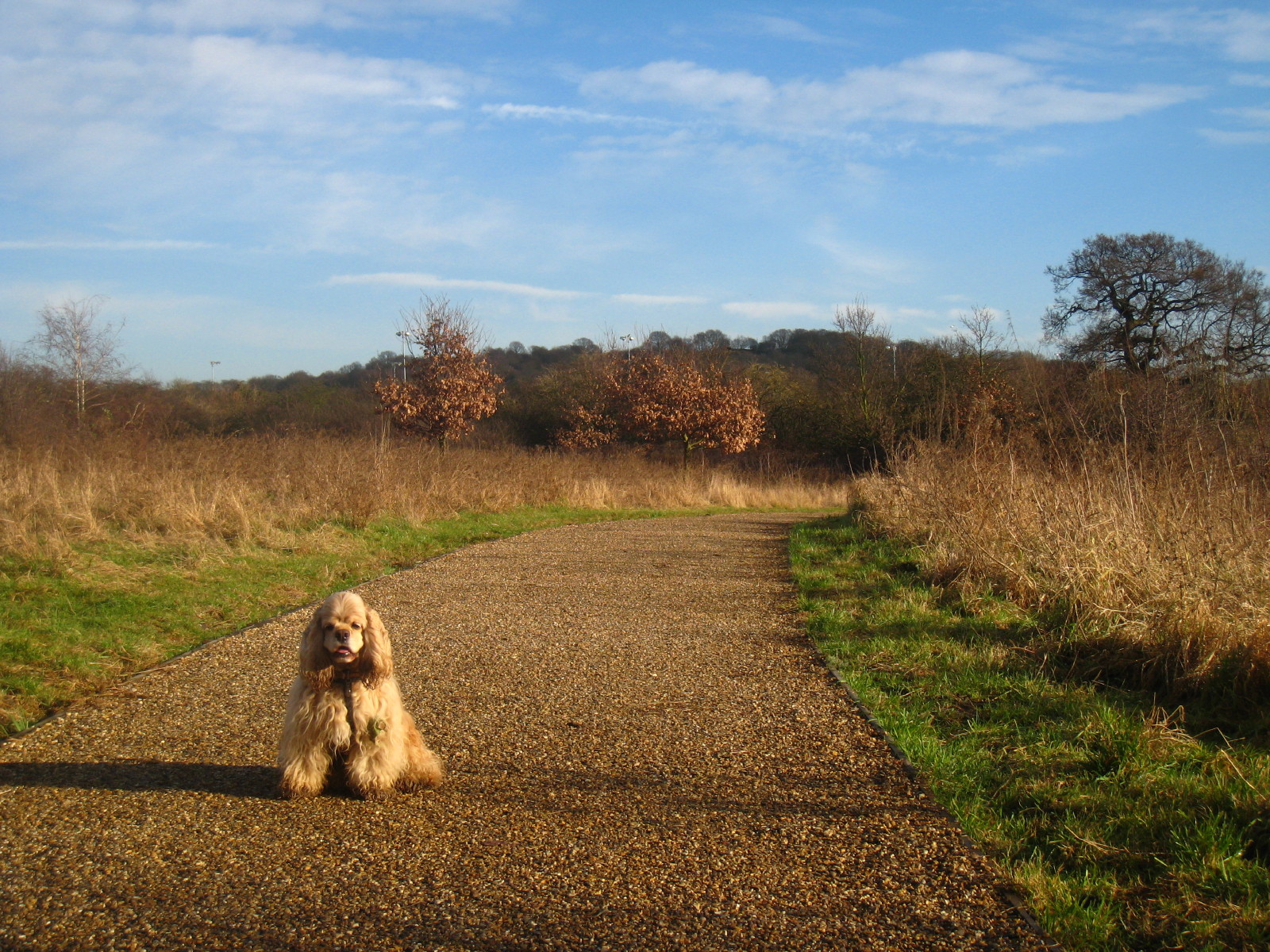
George in Paradise Fields with Horsenden Hill behind him
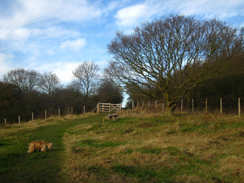
First we need to rejoin the canal and follow it back eastwards to the bridge
which takes the Capital Ring onto the hill
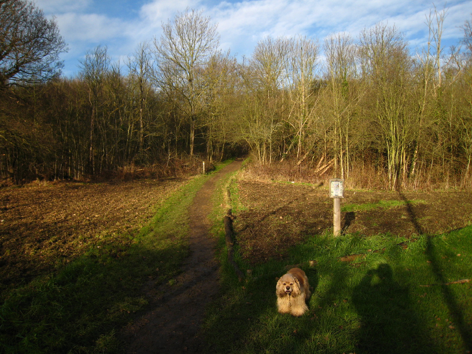
Starting the ascent of Horsenden Hill
After the firm footing of the canal towpath, the hill had some very muddy
sections (not seen here) and it suddenly felt very rural even in west London
Approaching the top. As is always the case, the long-distance views were better
in reality than the camera can show, especially into a low winter sun. This is
looking past Heathrow, with the North Downs on the far left of picture, about 25
miles away.
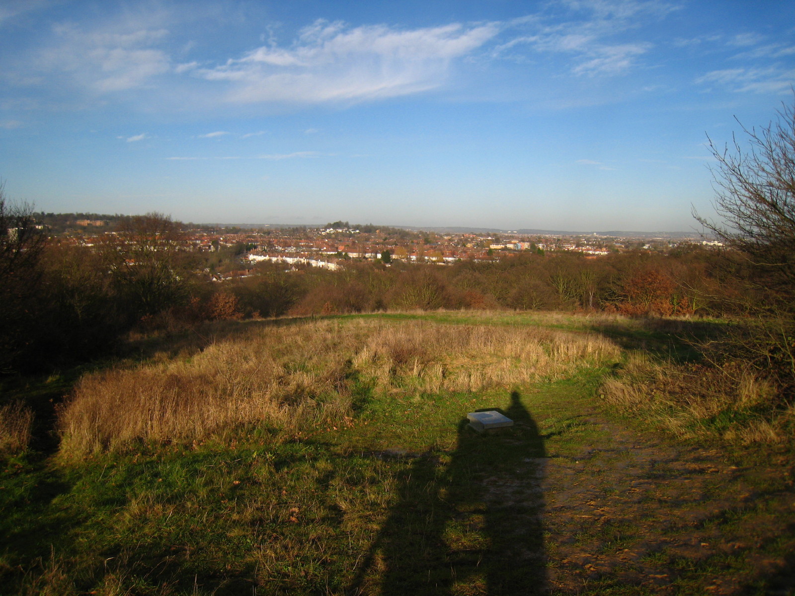
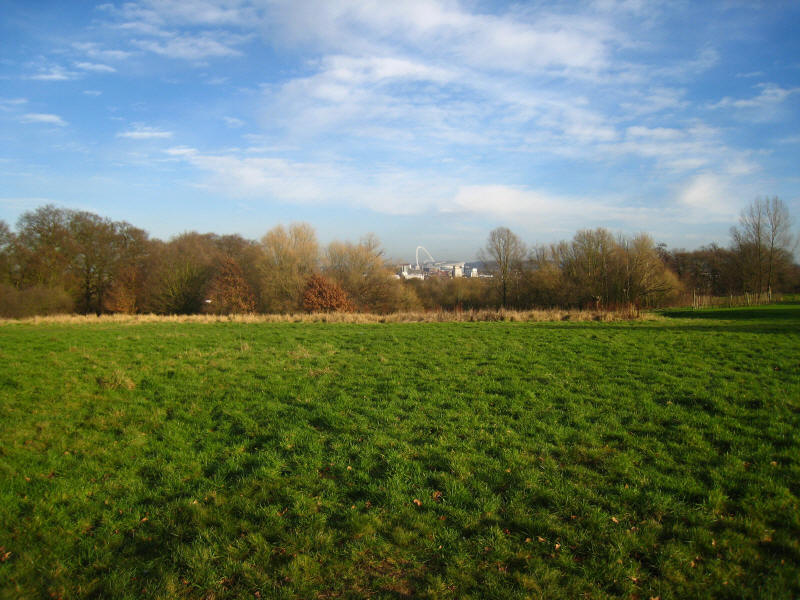
This is the edge of the "summit plateau". Centre of the horizon is Windsor
Castle, 15 miles away, and on the far right can be seen the Chiltern Hills
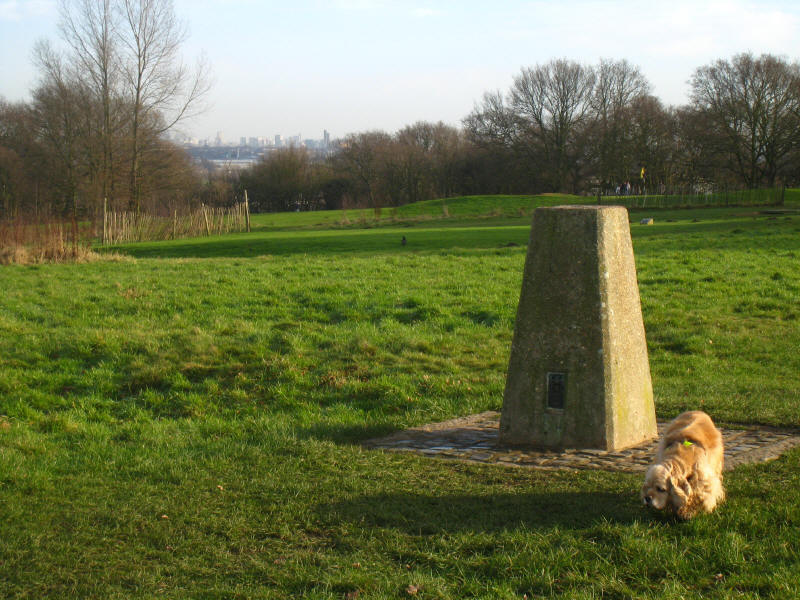
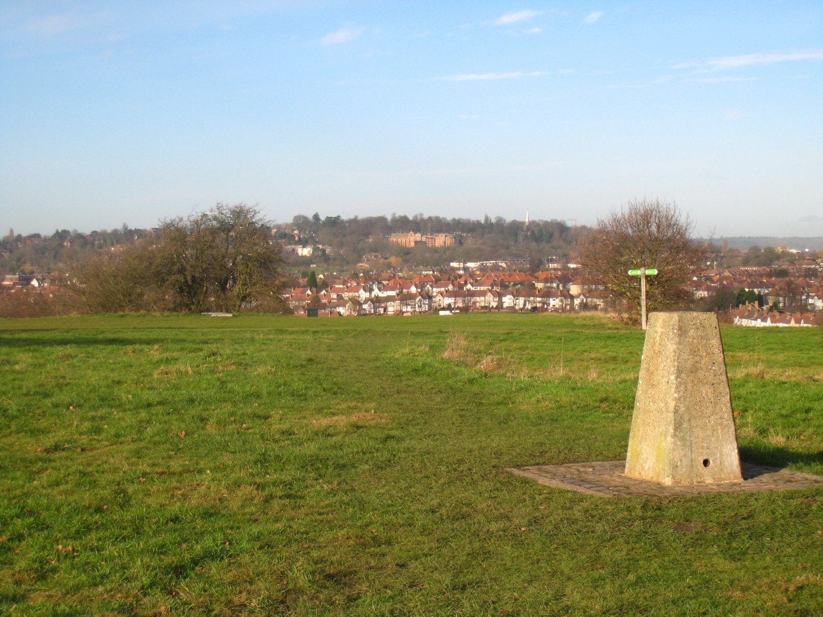
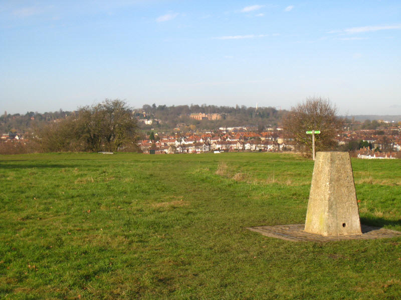
George at the summit trig point, itself 84 metres above sea level, with the hill
peaking at 85 metres (278 feet). In the background can be seen some of the
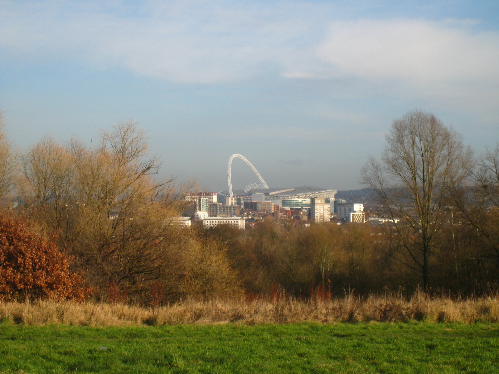
skyscrapers of London
to the east, Wembley
and in close-up
To the north is Harrow-on-the-Hill, with the church spire just poking above the
trees on the right

To the north-east we look past the nearby houses to as far as Barnet
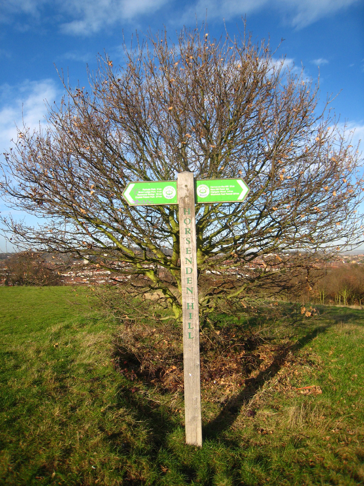
A Capital Ring signpost, slightly over-exposed, tells us that it is 27¾
miles left to Crystal
Palace Park, and 22¾ miles right to the
Woolwich Foot Tunnel
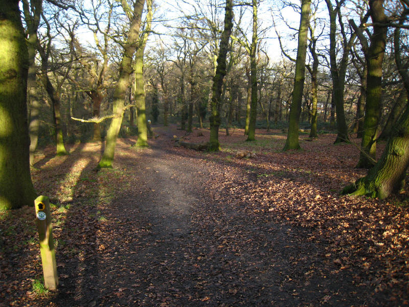
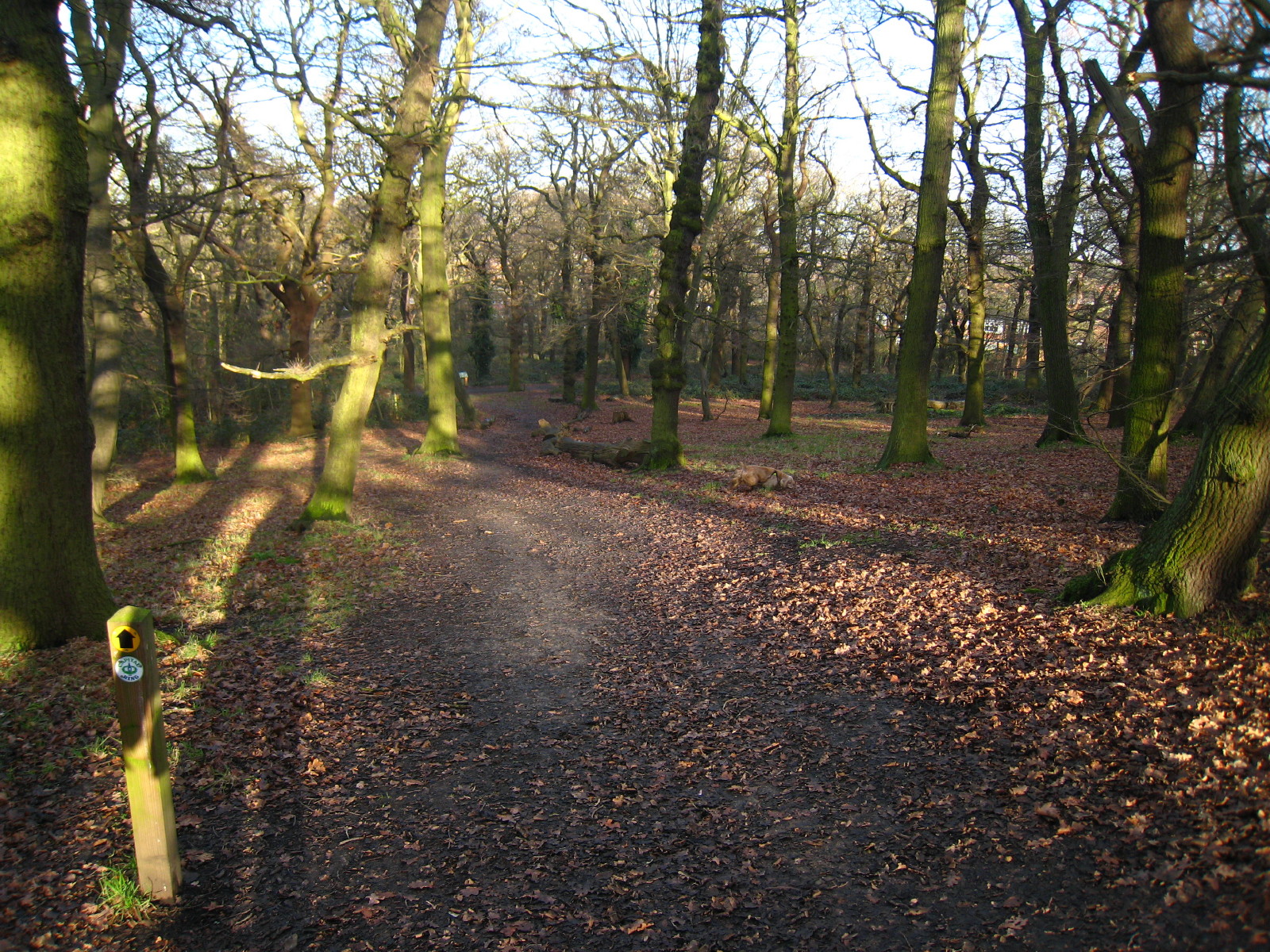
Our way lies towards Woolwich (eventually!) down through the woods on the
northern slopes of Horsenden Hill
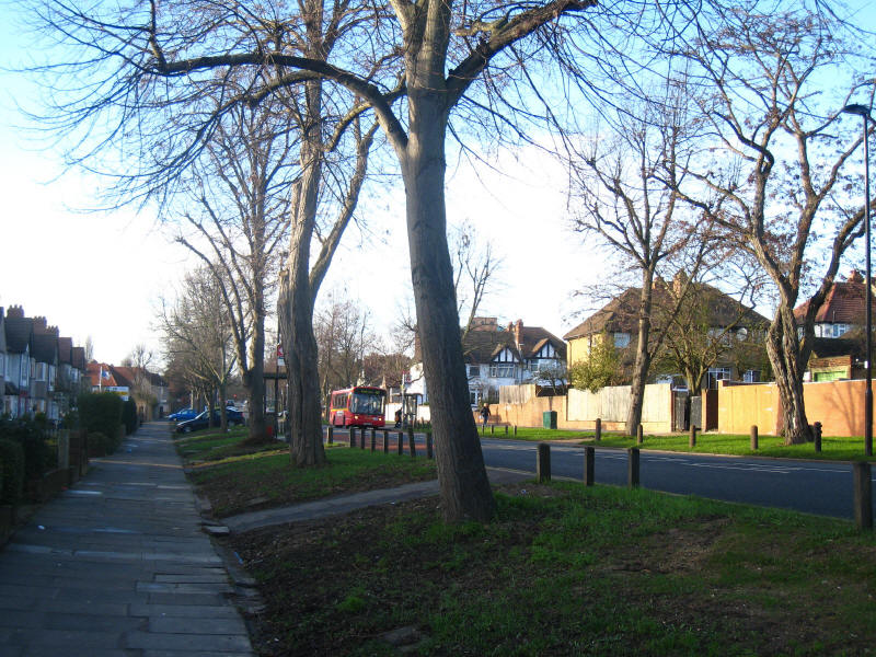
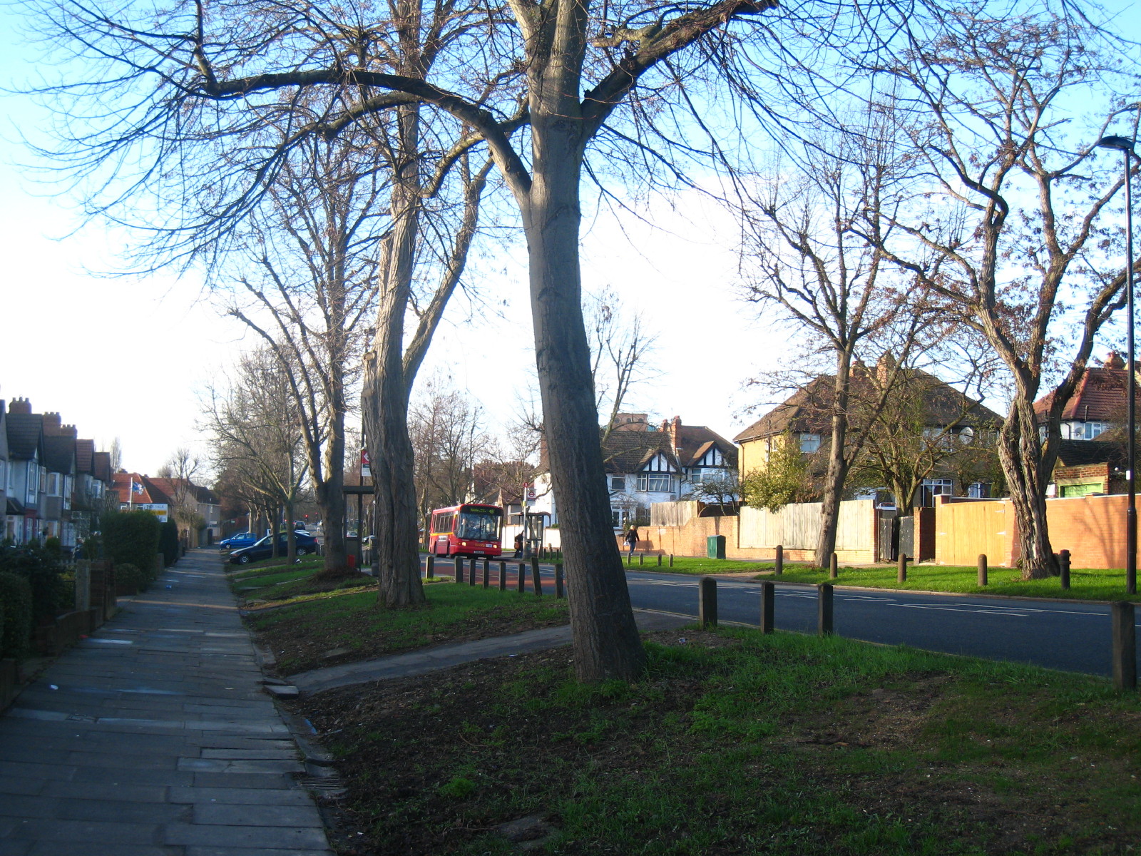
Eventually we emerge into suburbia, a bit of a shock after such a delightfully
rural little hill and the relative tranquillity of the canal
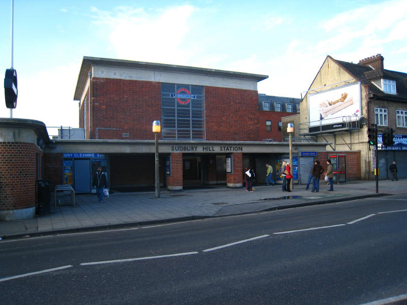
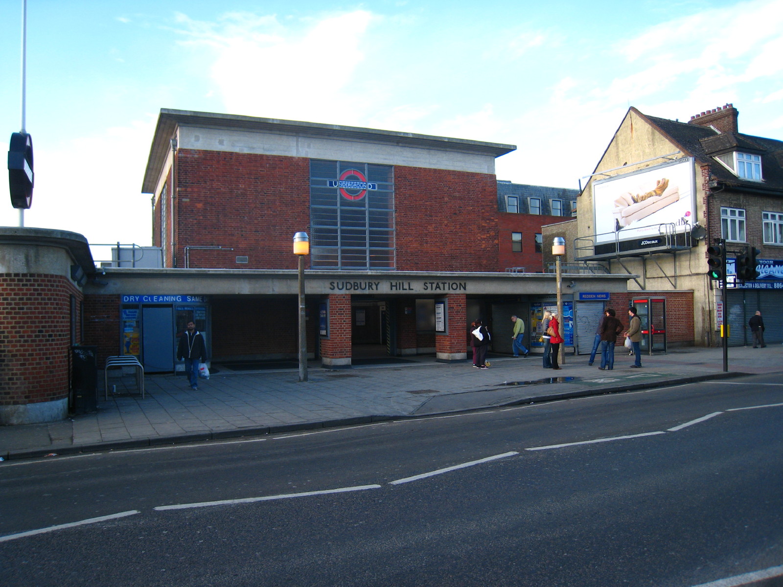
The 1930s rebuild of Sudbury Hill station on the Piccadilly Line (originally on
the Metropolitan District Railway).

We ascend Green Lane, a bridleway towards Harrow on the Hill
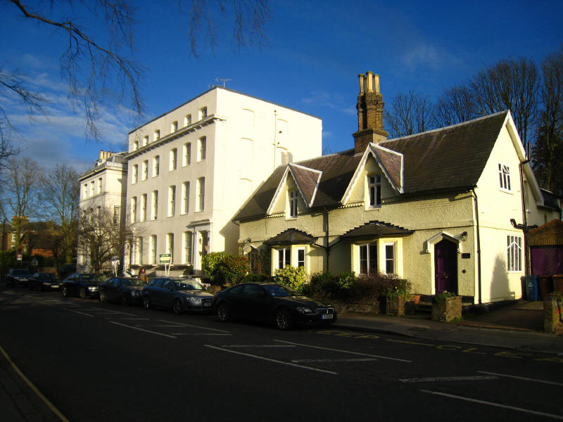
As we walk along London Road, there are lots of interesting buildings
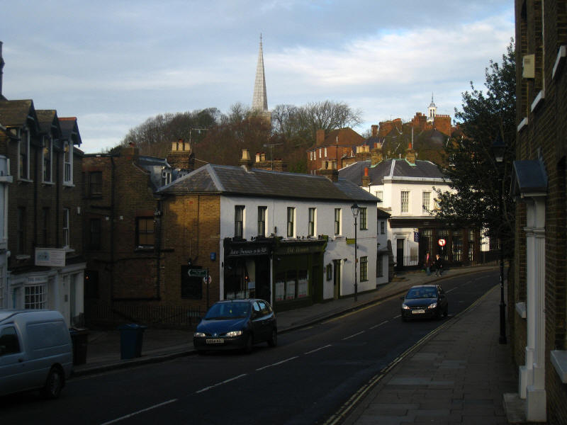
High Street, Harrow on the Hill
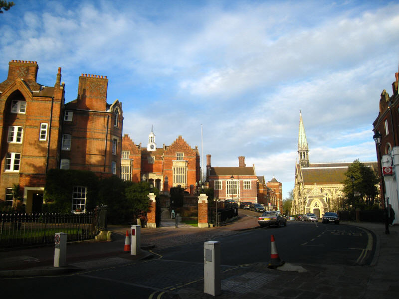
Some of the buildings of Harrow School
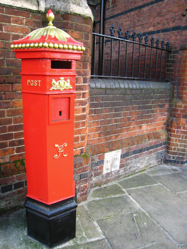
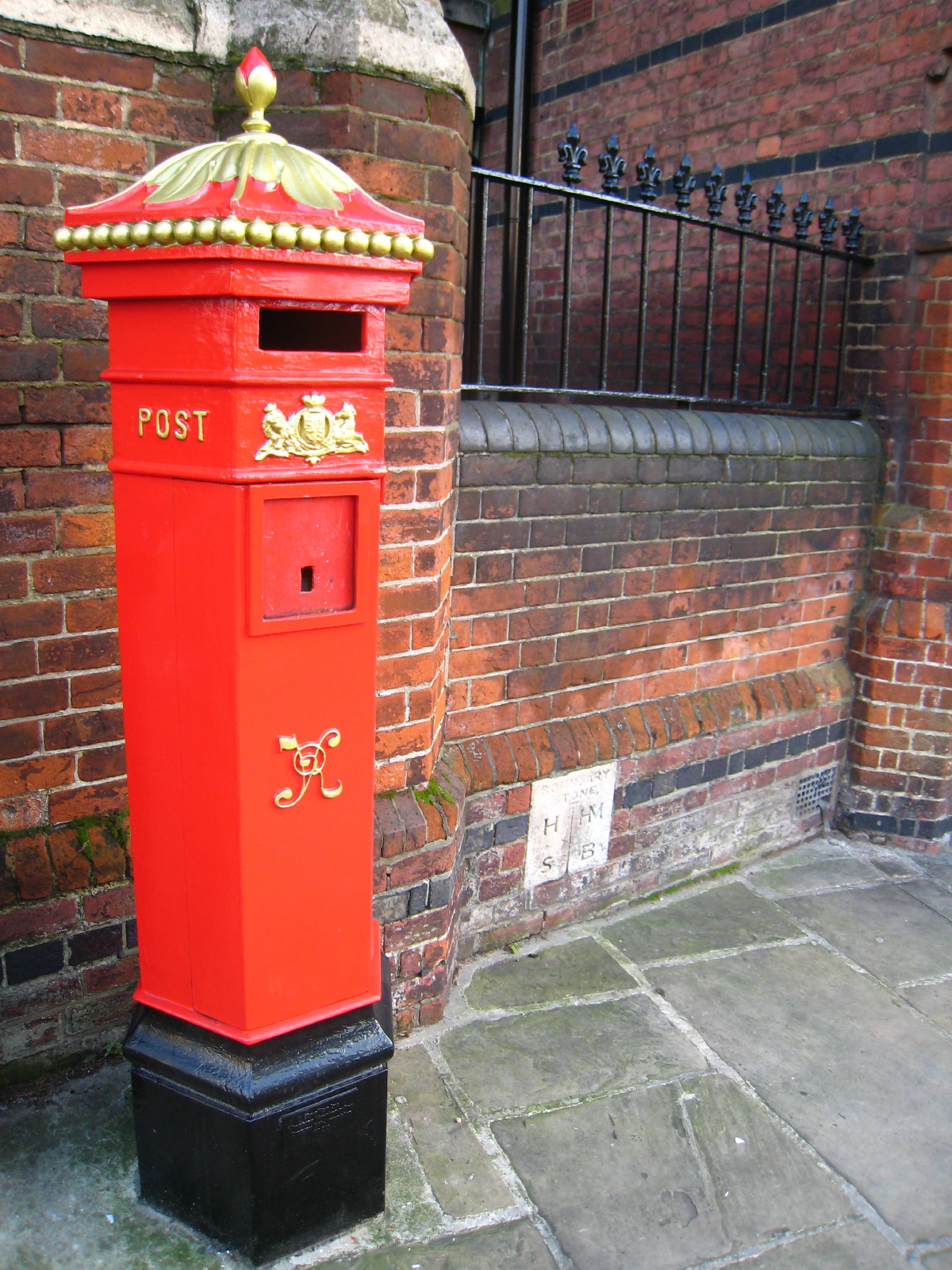
A splendid old post box

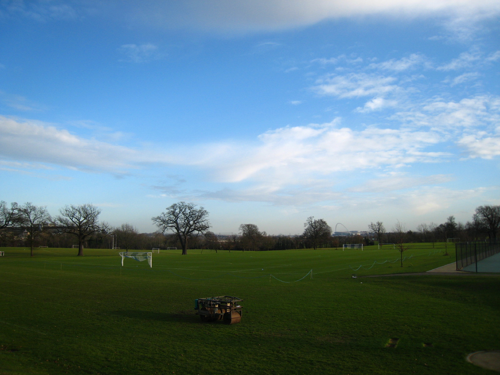
We then descended through the school along Football Lane to the playing fields,
which are crossed by a public footpath
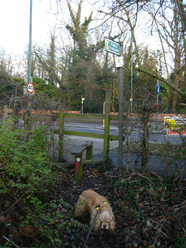
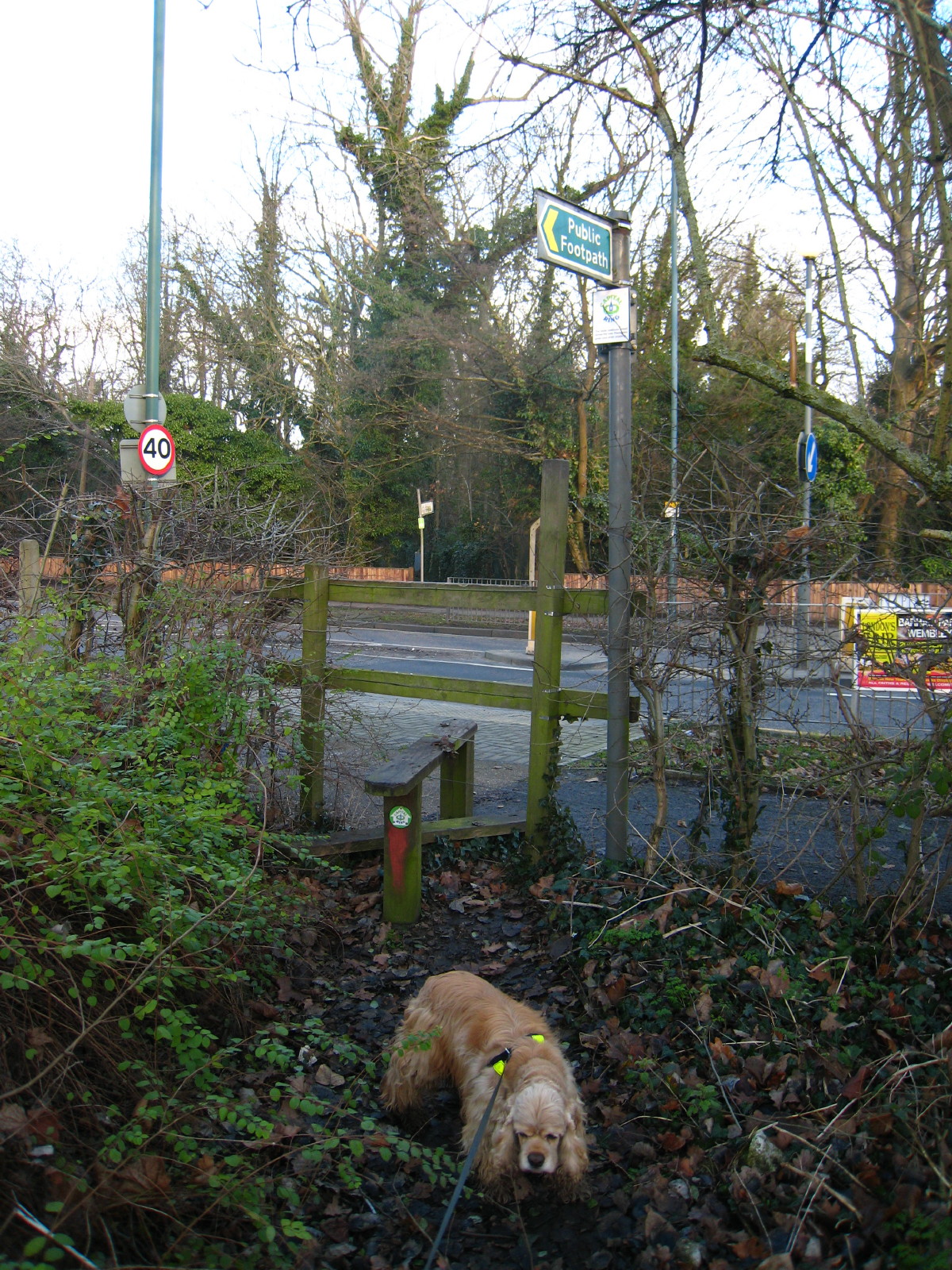
Not a terribly good photo, but as we leave the Harrow School playing fields, we
encounter the one and only stile on the whole of the Capital Ring.
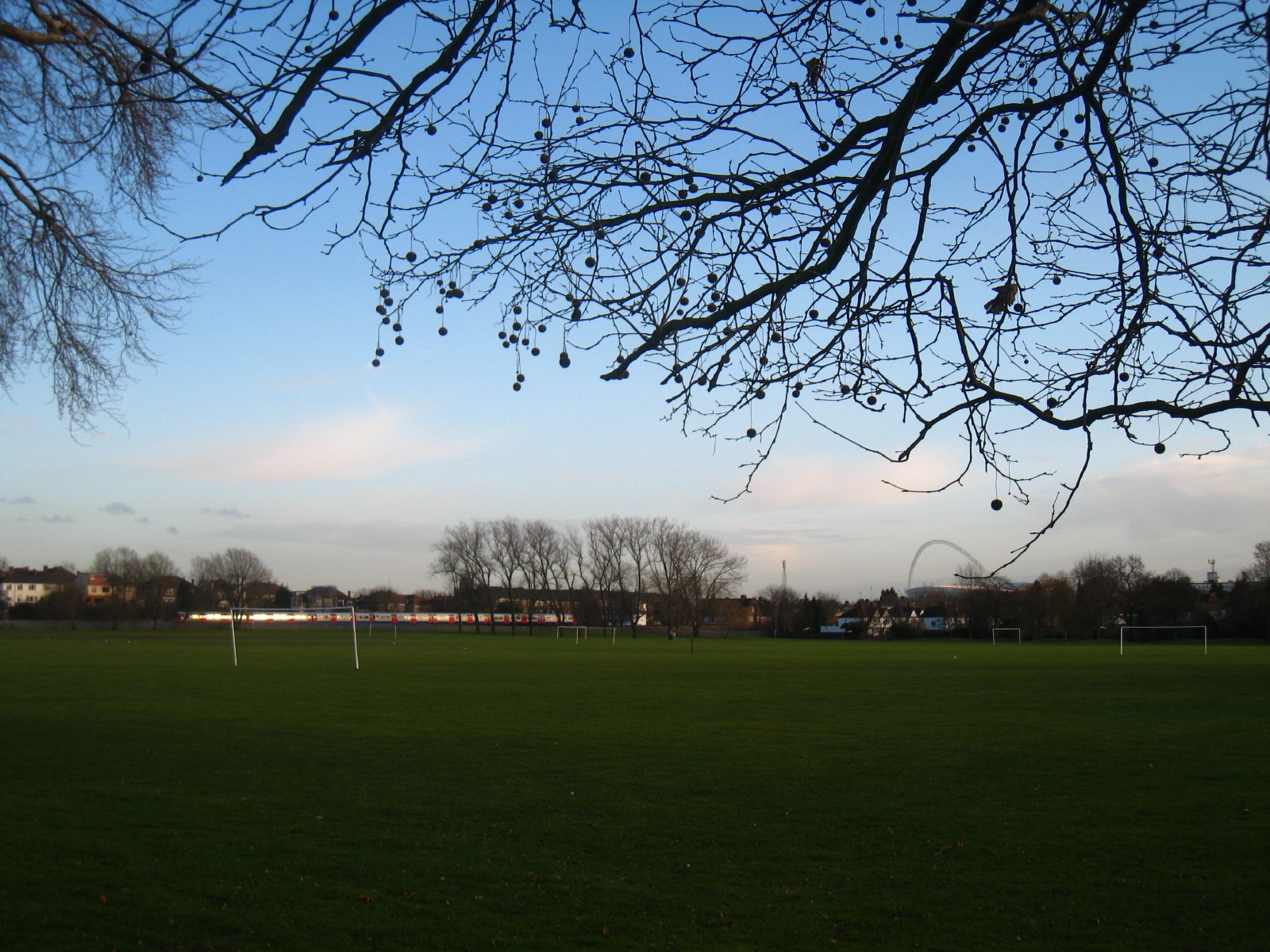
We pass Northwick Park Hospital, and look across Northwick Park golf course.
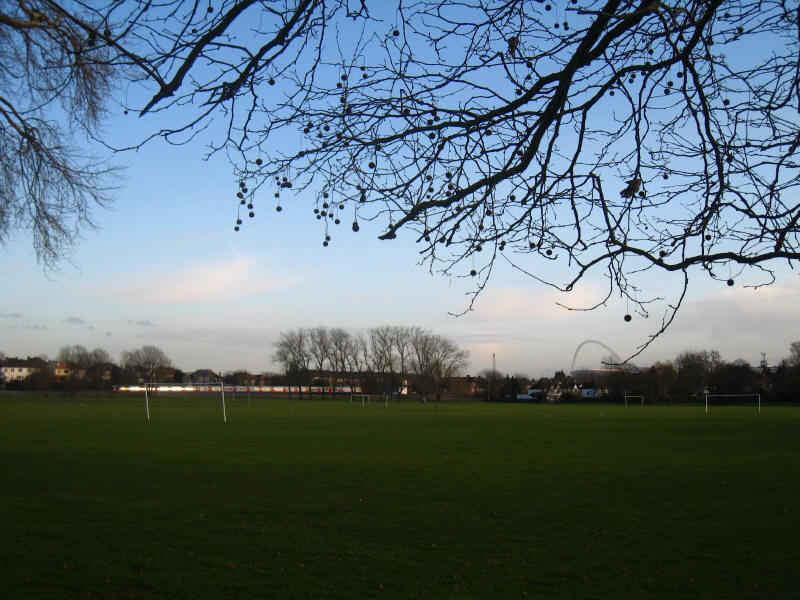
We then walk around the edges of Northwick Park playing fields, and the Bakerloo
Line train running alongside the West Coast Main Line railway is an indication
that we are approaching South Kenton tube station, and the end of today's walk.
Zoom in for more detail, or see map in larger window: Ordnance Survey |
Open Street Map |
Google Maps
Total distance: 17.6 km [including station links and 8.6 km on the
Capital Ring] with 198 metres of ascent in
3 hours 45 minutes.
|