Essex Way - Mistley to Wrabness
1 December 2013
Looking at the map for somewhere new to walk, I picked
on the south side of the River Stour, with its convenient railway line
to help with one-way walks. I drove to Wrabness from where I got a train
to Mistley. There was no ticket machine at Wrabness so I bought a permit
to travel from the machine; the guard on the train, with little time to
process it before I got off at Mistley, seemed flustered and ended up
refunding the permit to travel, which didn't seem quite the right
approach but meant that I travelled for free which I didn't object to.
At the railway station at Mistley I crossed the line on the level, which
must be fairly unusual nowadays, and a short walk along the road brought
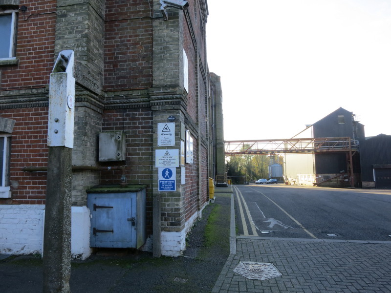
me to the maltings where I joined the Essex Way, heading on this public
footpath through the maltings site.
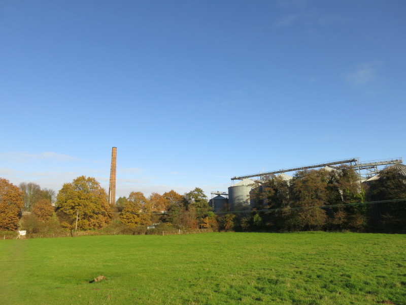
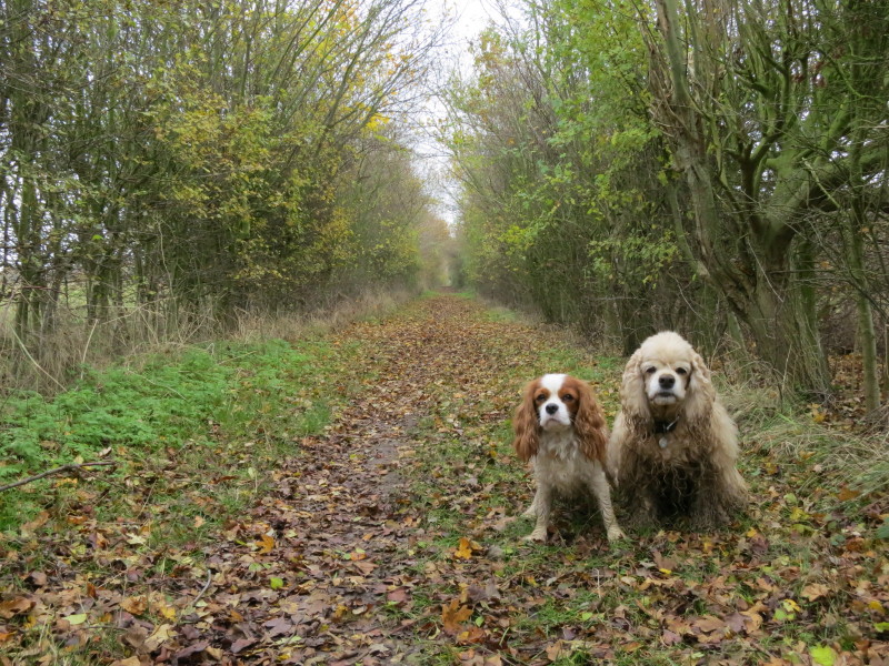
The route then passes under the railway before emerging onto open
fields, much to George and Lottie's relief.
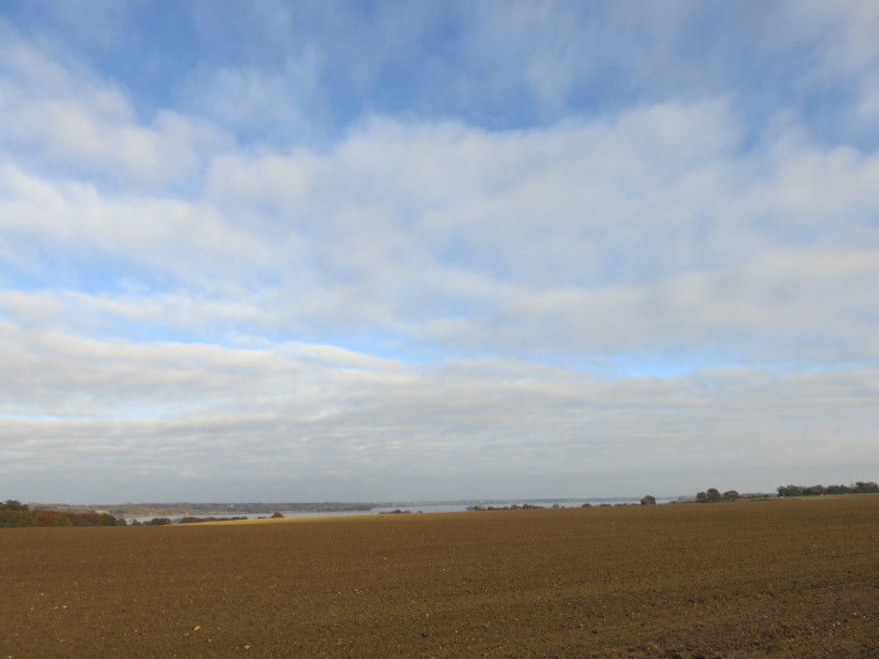
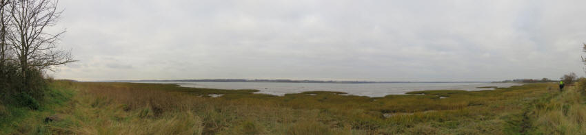
Across farmland a view of the Stour and south Suffolk
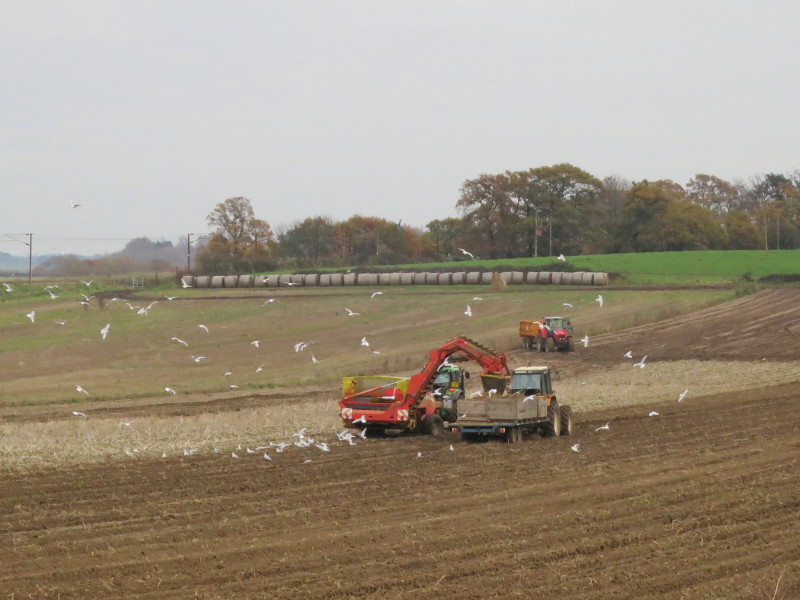
Potato harvesting near Bradfield
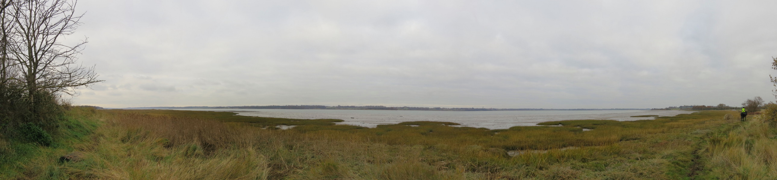
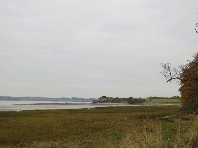
After passing under the railway again, we reach the shore of the river,
where it is a slightly squelchy walk in places, with the route of the
very closely paralleling public footpath and public bridleway being
unclear too
Looking ahead to Wrabness Point, but I abandonned the shore here,
climbed a small bank and walked along a field margin.
There was then a walk through Wrabness Nature Reserve before we took to
this straight hedged path
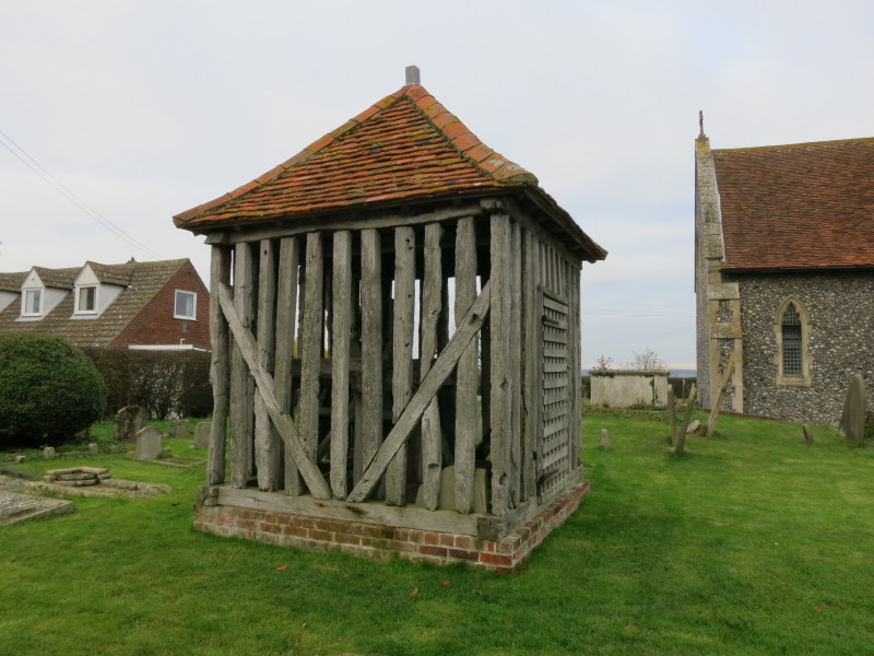
Passing the church at Wrabness Hall, I was intrigued to notice this
wooden cage...
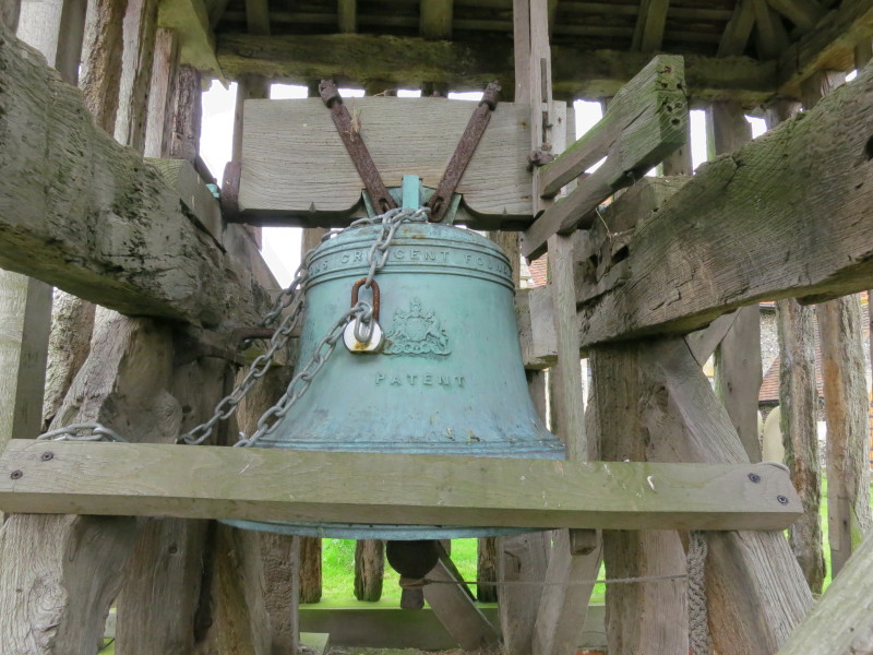
... containing a bell, hung for ringing but the padlock and the screwed
down batons clearly showing that it doesn't get rung very often.
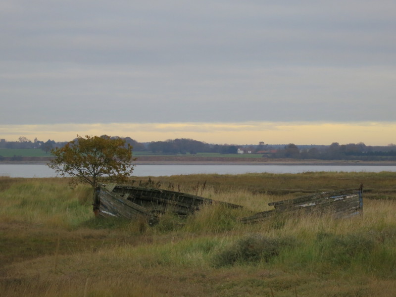
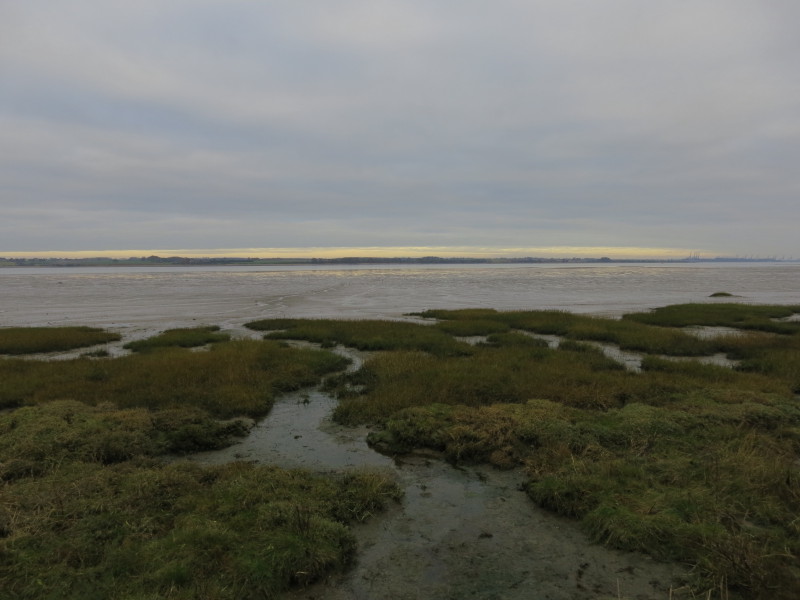
A return to the shore of the Stour
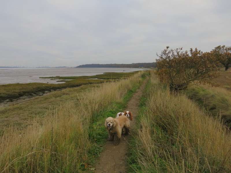
The cranes of Felixstowe in the distance, and it is time to turn away
from the river once more and return to the car at Wrabness station.
Total 15.2 km in 3 hours 57 mins.
|