Grange Fell and Great Crag
28 April 2013
The final walk of this long weekend was to visit a couple of summits
in the Central Fells. I delayed the walk until I hoped the weather was
improving, and sat through a final heavy shower in the car park at
Rosthwaite before setting out. Although there was little rainfall during
the walk, the atmosphere remained very damp and windy, with a lot of
cloud about, so the improvement I'd hoped for didn't entirely
materialise.
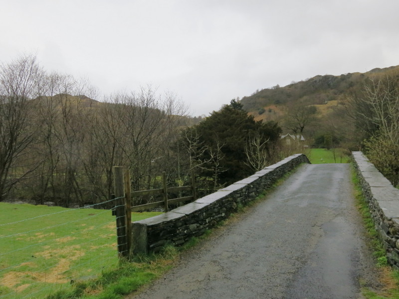
Crossing Stonethwaite Beck
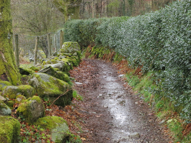
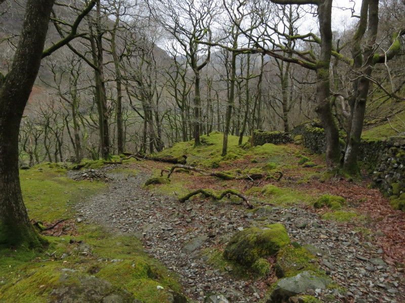
A pleasant bridleway runs past Hazel Bank hotel
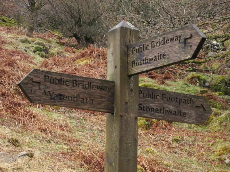
...and brings me to this sign carrying three famous Lake District names
as destinations. My direction is towards Watendlath, but I won't be
going all the way.
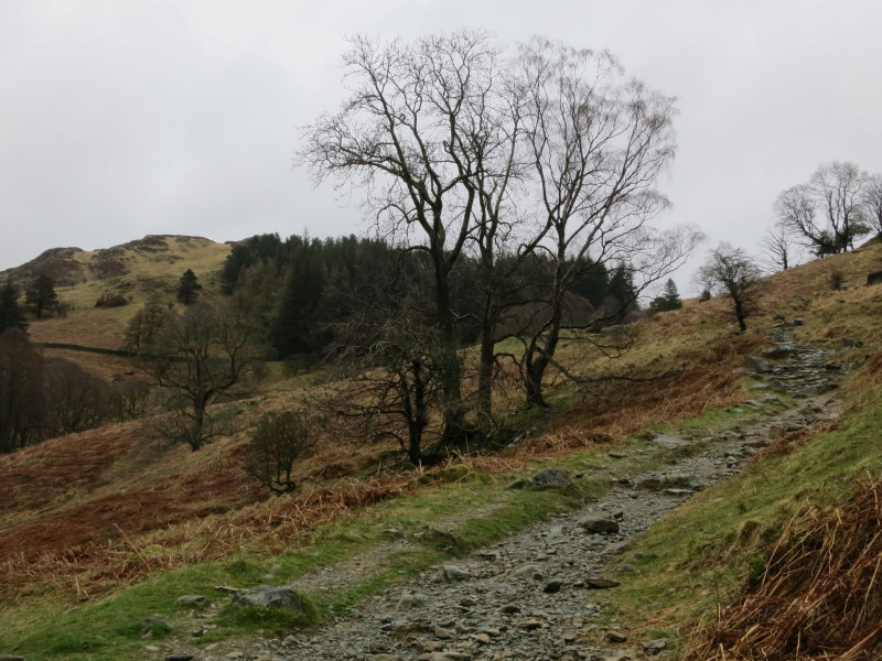
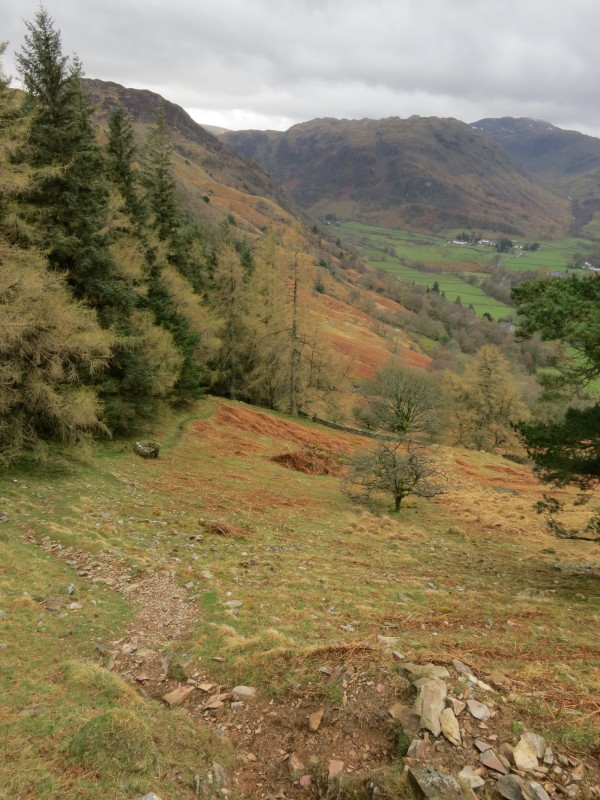
A pleasant winding path gradually ascends, and I can see the high point
of Grange Fell
Looking back across Rosthwaite village to more of Borrowdale
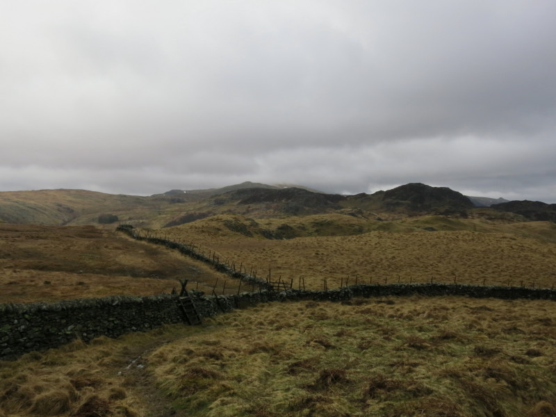
Still gradually going up, before I turn off to the left and lose a
little height
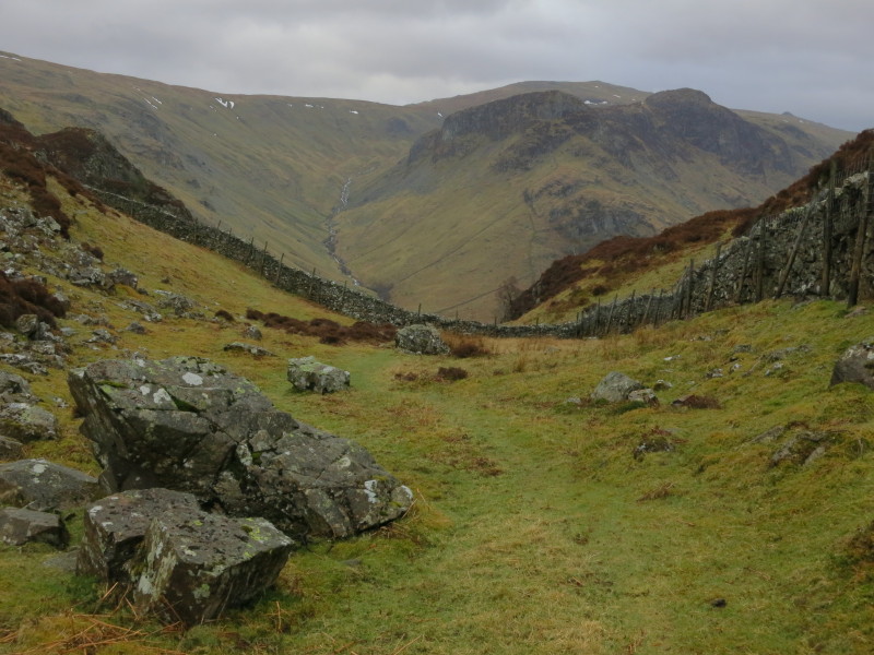
This stile is the point where my route starts up again, quite steeply
almost all the way to the summit
Looking back along my route of ascent from the stile
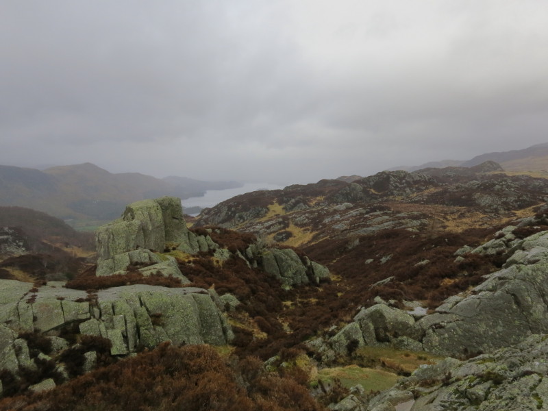
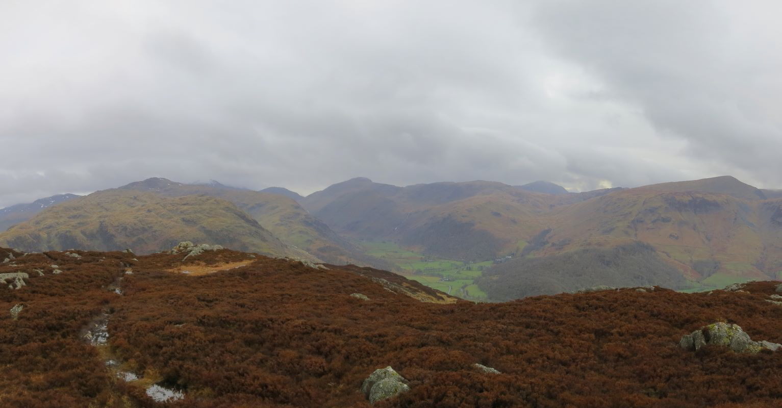
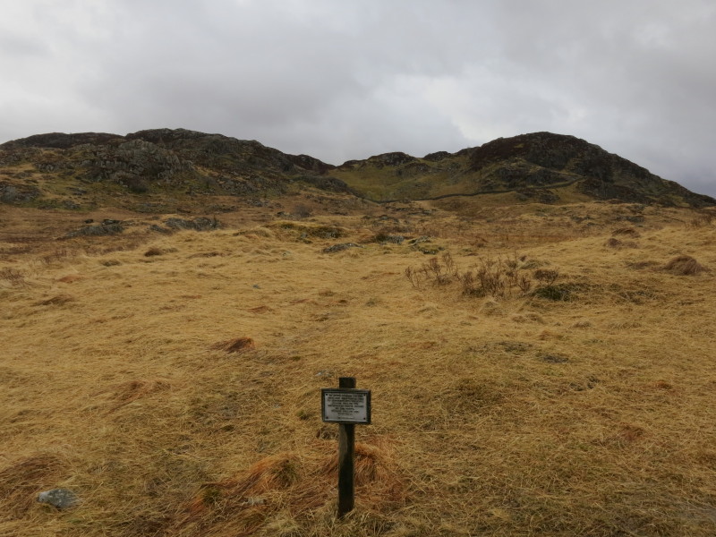
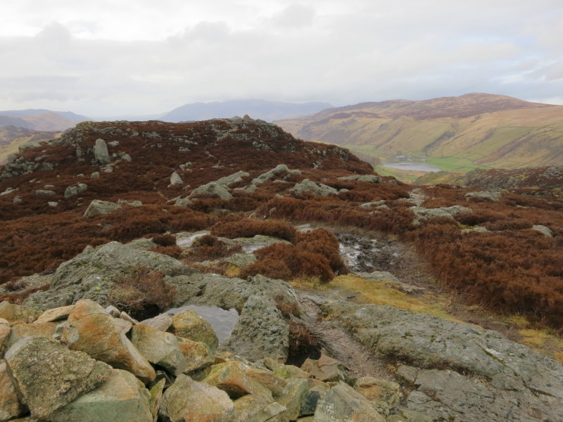
On Grange Fell. The many summits would be delightful in better weather,
but it's not particularly pleasant in the drifting murk
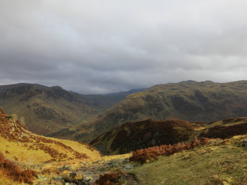
Looking towards the second objective of the afternoon, Great Crag.
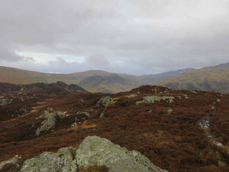
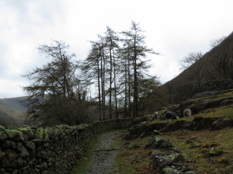
Making my way towards Great Crag. There is a somewhat confusing network
of paths all over these fells, not all marked on the Ordnance Survey
maps.
From this point, my map marks three paths on the ground towards Great
Crag, but the sign requests that we turn left and follow the marker
posts, which approximate to the either the public footpath or public
bridleway which legally parallel each other but aren't distinct on the
ground.
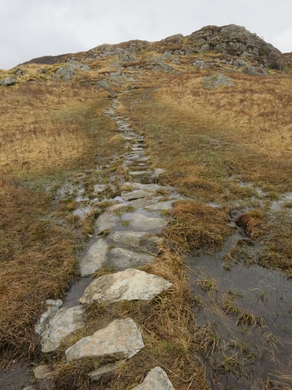
The route across the very damp ground has seen a lot of effort invested
to create a fairly dry route which makes things easier for the walker
and reduces damage to the wetland.
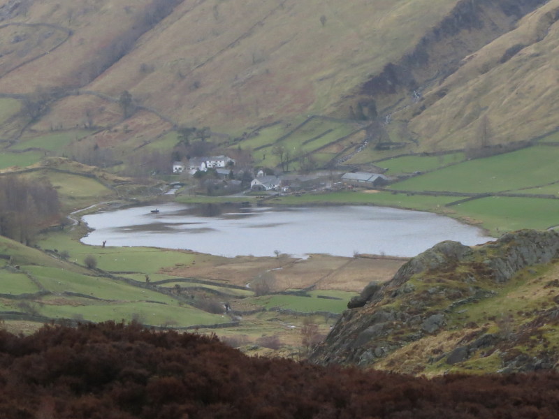
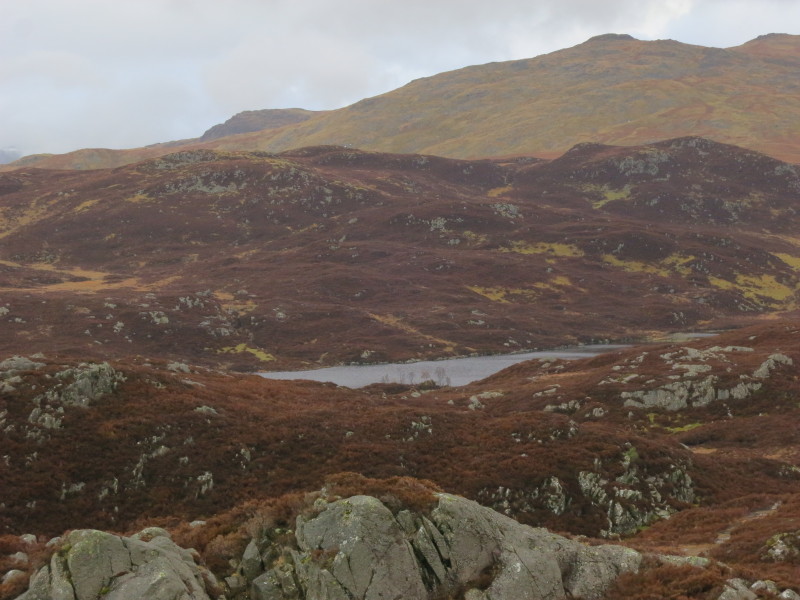
Looking down on Watendlath, which our sign earlier pointed towards.
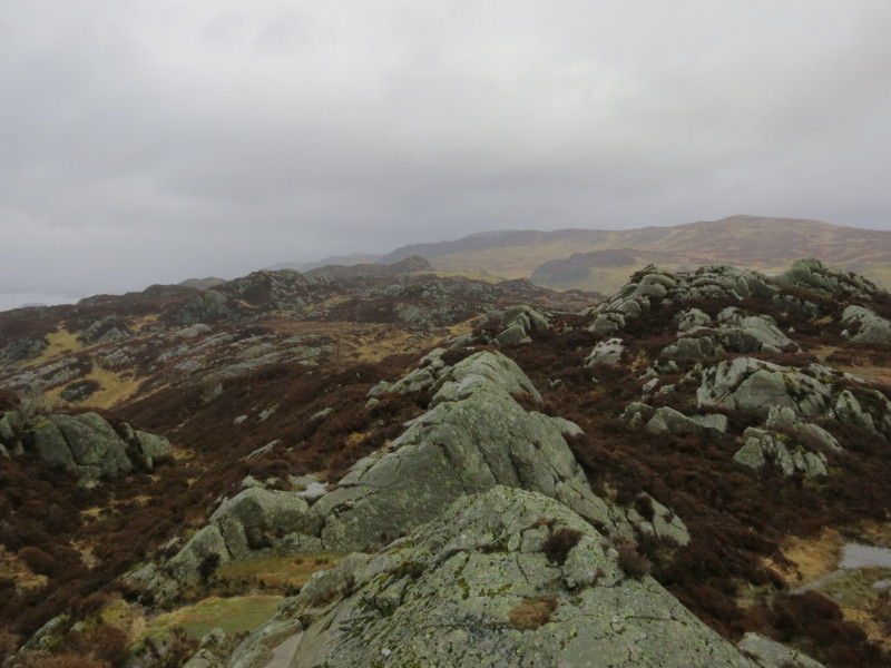
One of the summits of Great Crag
Looking south to High Raise over Eagle Crag and Sergeant's Crag, the
last two centre of picture and targets for a future expedition. For now
my objective is descent back to the valley.

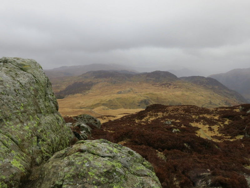
A path leads me south-west, with a view ahead to the Seathwaite arm of
Borrowdale with Great Gable the high point near the centre - to its left
Lingmell, Great End in the cloud and Glaramara. To the right of Gable
are the gentle undulations of Brandreth and Grey Knotts leading to
Pillar, with Dale Head on the right. Click picture for a larger version.
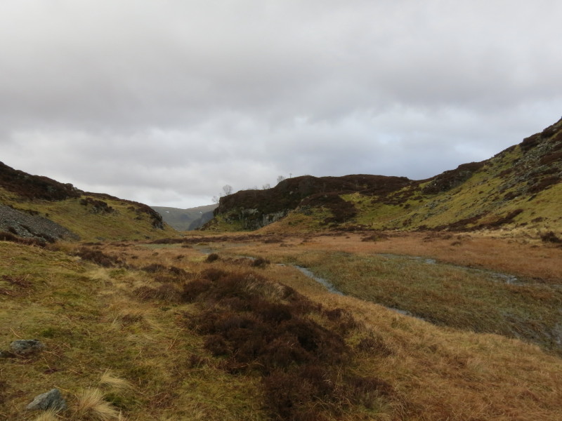
Looking down towards Dock Tarn. I really should have headed in that
direction, but my little path continued south-west, taking me to a steep
descent over heather and rocks eventually to a stone wall which I
followed to a stream.
I followed the stream up to its source
...and from there it was a short walk to this stone wall on the other
side of which is the main path back to the Stonethwaite valley. The view
ahead is very dramatic, up Greenup Gill between Eagle Crag on the right
and the slopes of Ullscarf on the left. But my problem is that stone
wall, which is too high to climb. A diversion to the left was necessary
to reach the main path and its crossing of the wall. It all goes to show
that an unplanned shortcut is not always a good idea.
On the main path, a view up Langstrath, between Sergeant's Crag on the
left and Rosthwaite Fell on the right (with Crickle Crags behind in the
cloud) The little blemish sticking up just to the right of Sergeant's
Crag is the top of Pike O'Stickle, making its presence felt away from
Langdale.
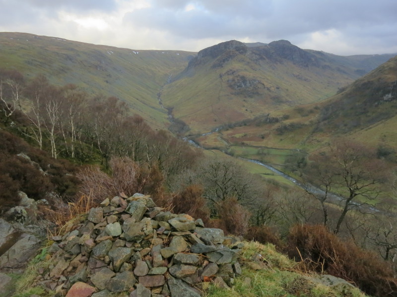
Eagle Crag and Sergeant's Crag split the stream between Greenup Gill on
the left and Langstrath Beck on the right.
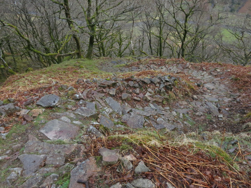
From here it was a long and winding descent on this constructed path
which had seen a lot of effort in building it. I find this sort of
descent very slow going to do safely, and it was with some relief when I
reached the bottom of the path.
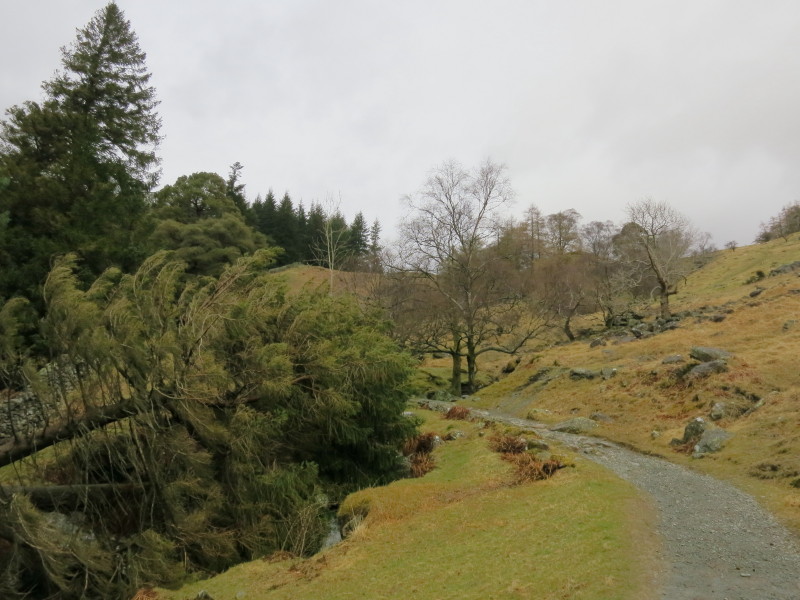
At last the constructed path has finished, and there is much easier
going on loose stones through the remainder of the woods.
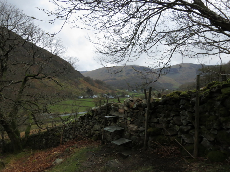
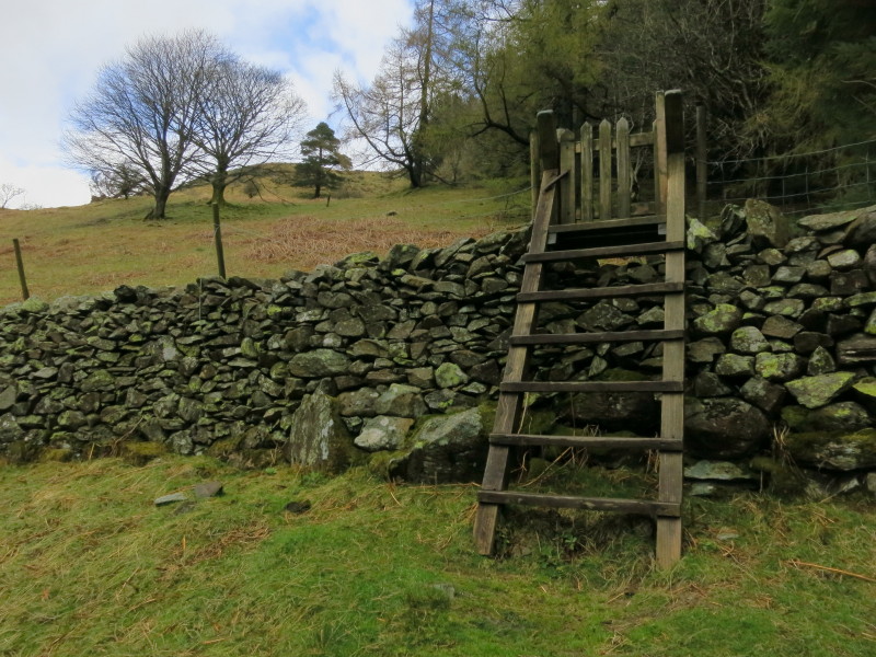
A slate stile sees me over the wall...
...from where it is a cross-field walk to the bridleway which runs along
the river valley.
Making my way along the bridleway. The late start to the walk, the slow
going on the top, the difficulty in the initial descent and diversion to
cross the wall and the very slow descent through the woods have all
added together to make this walk much slower than I had anticipated, and
it is approaching eight o'clock
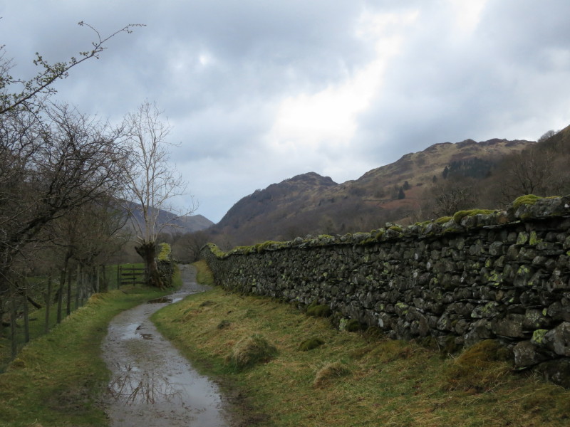
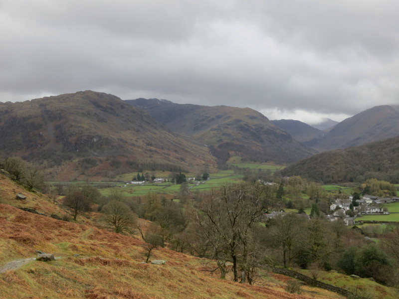
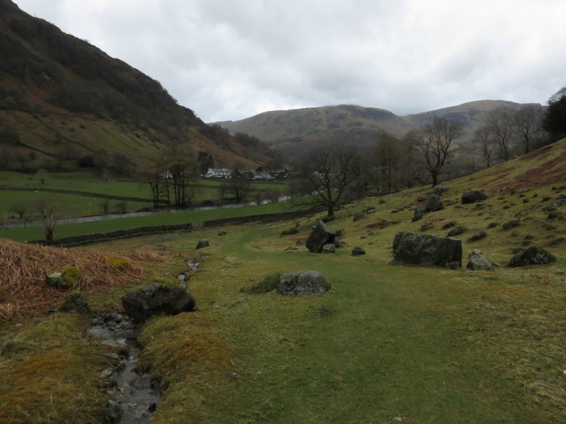
The bridleway is pleasant going, and at least the last bit of the walk
is at a good pace, with views ahead back to Grange Fell.
Not quite what I'd hoped weather-wise or walk-wise, but there were some great
views - a walk not to be hurried and better in good weather.
Total distance 8.3 km and 536 metres of ascent in a very slow 4 hours 2 mins
Lake District weekend, April 2013
|
|