Border End, Hard Knott, Yew Bank and Throstlehow Crag
26 April 2013
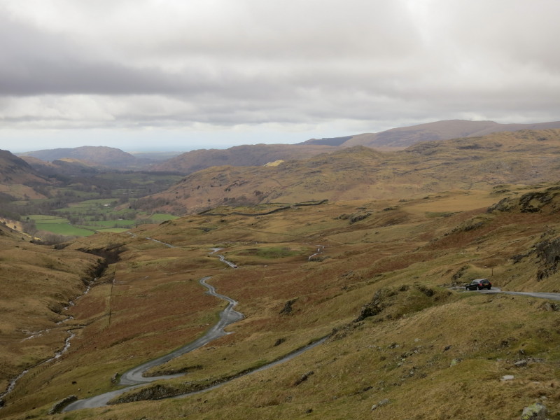
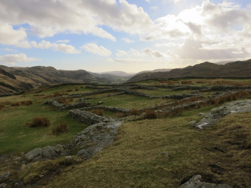
I parked part-way up Hard Knott pass, not too far from the Roman fort
that can be seen in the middle distance, and then walked up the road.
Once I reached the top of the pass, I left the road and started the
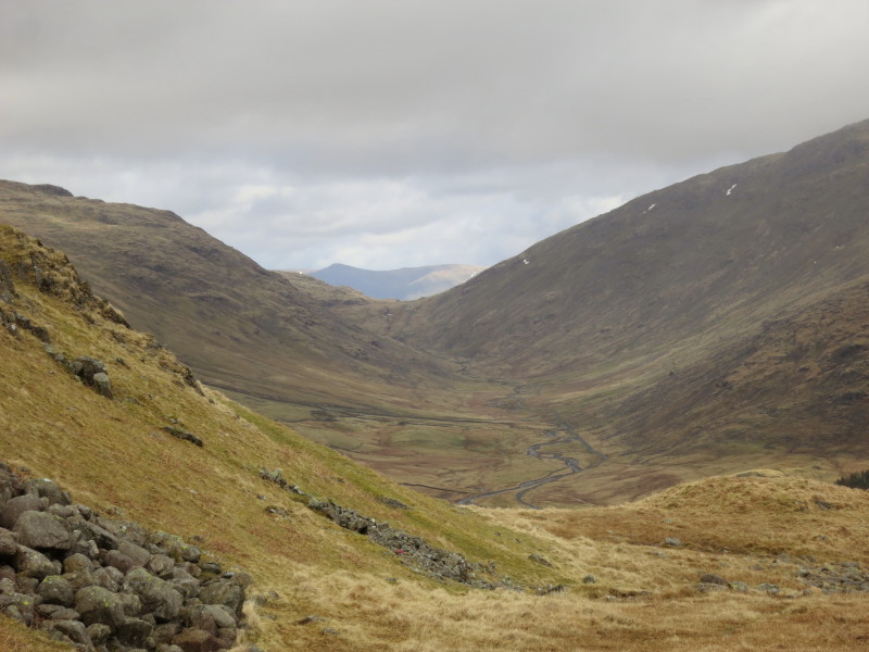
climb up Border End. Here there is a view into Wrynose Bottom
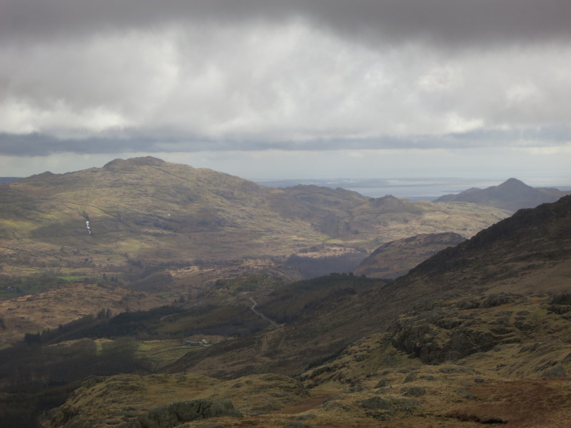
...and down the Duddon valley
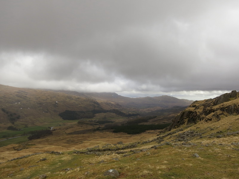
From Border End, a look down Eskdale
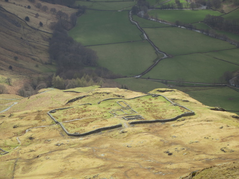
...and zooming in on the Roman fort
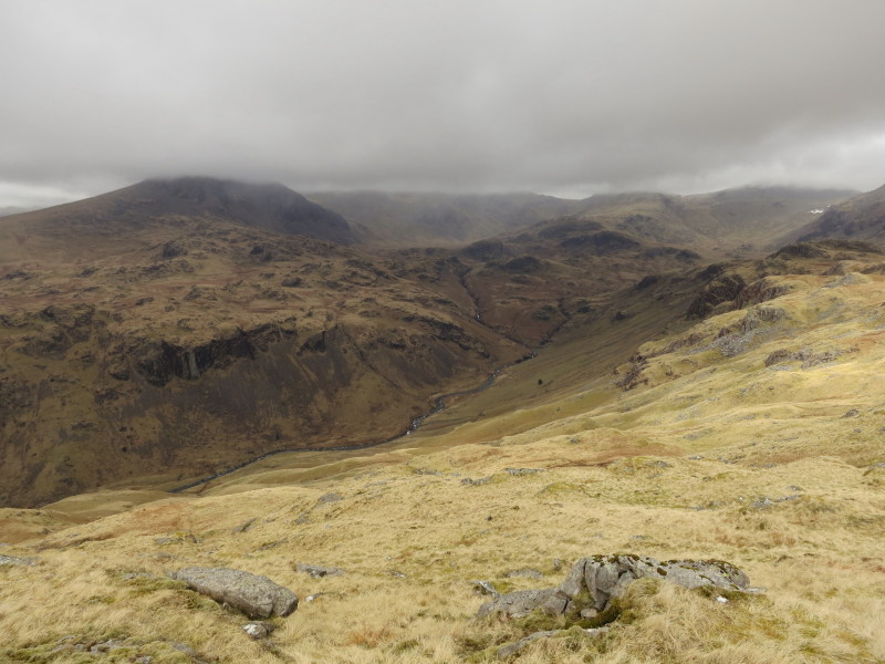
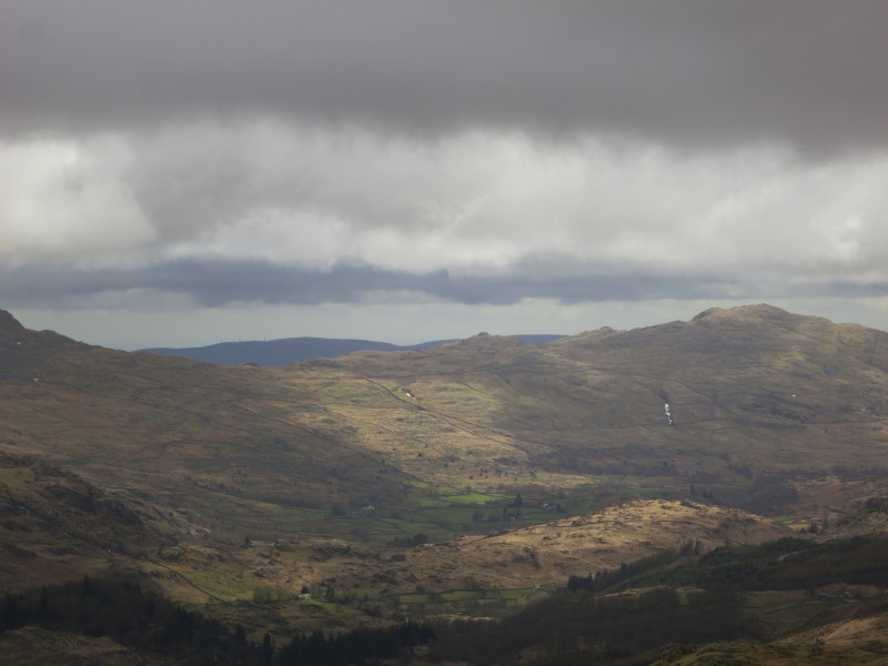
More of Eskdale, down which I will walk later
Looking from Border End to Hard Knott, with its summit cairn just
visible
Esk Pike appears out of the clouds, with Esk Hause to its left
Looking to the sea; Caw is ont he left and on the far right is
Stickle Pike where I was last night.
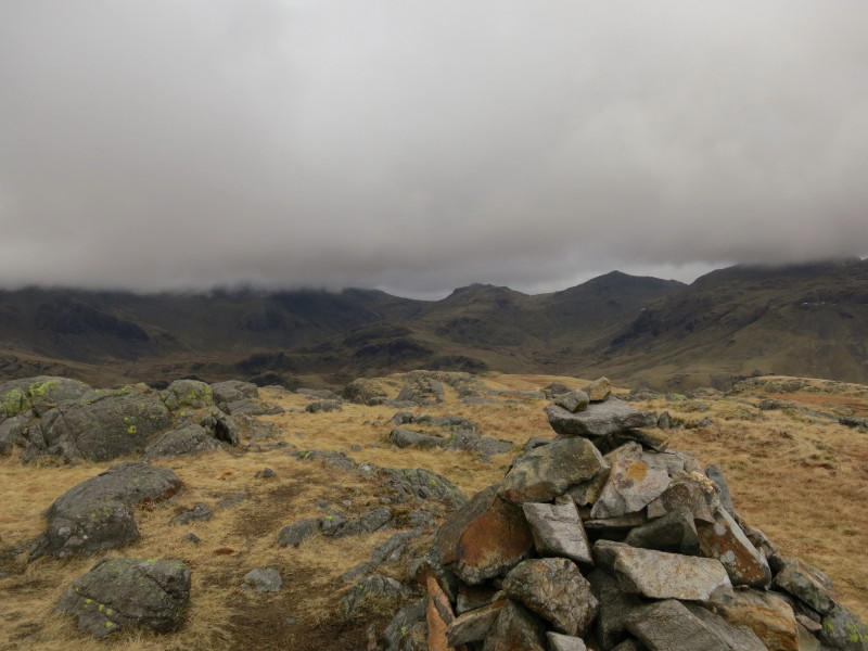
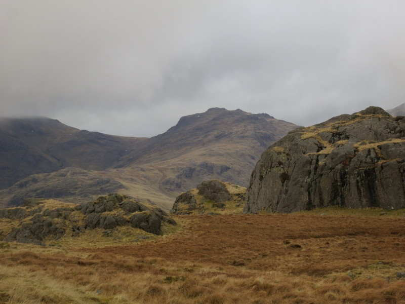
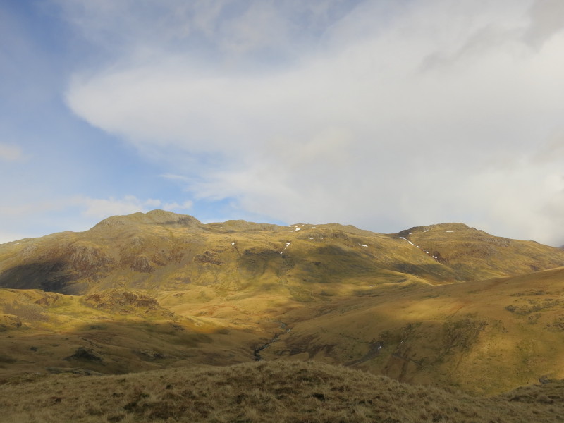
From Hard Knott, a look ahead to Esk Pike and Bowfell. The Scafells are
still in the cloud on the left and Crinkle Crags in the cloud on the
right
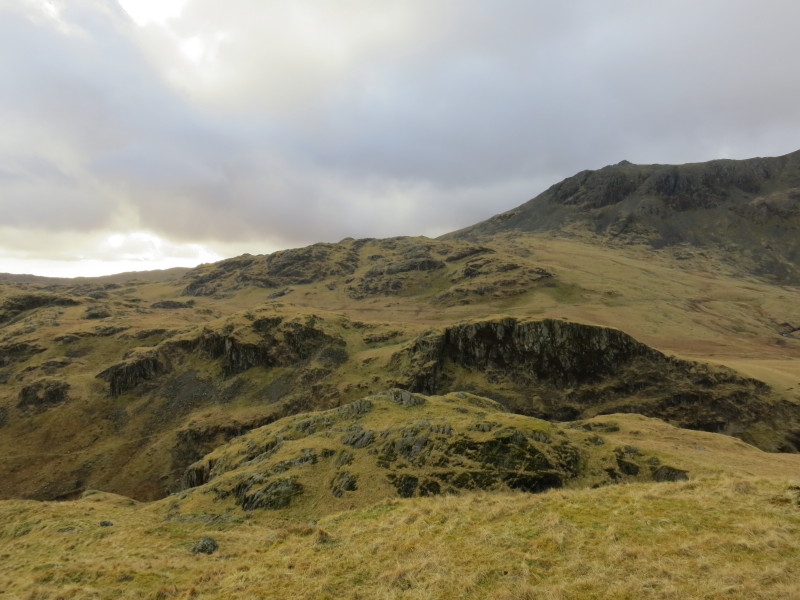
Dawson Pike is centre - an odd summit because it is unnoticeable on the
tops among general undulations, but quite prominent from other places.
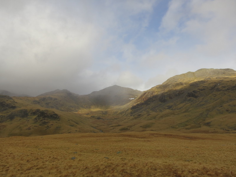
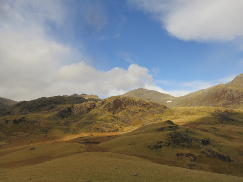
Glimpse of sunshine and blue sky as the clouds start to break and lift a
bit more. Bowfell is centre with Crinkle Crags looming on the right.
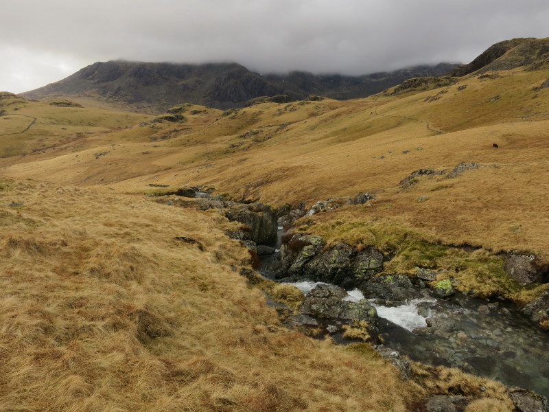
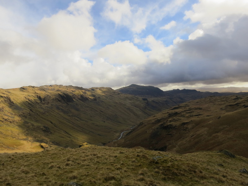
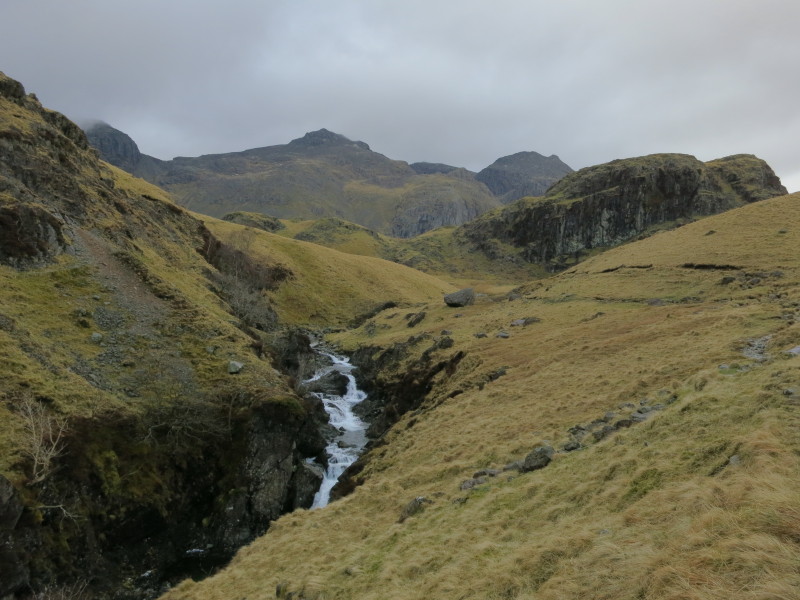
Lingcove Beck - my route lies across the beck, but it isn't easy to
identify somewhere to cross easily
A nice view of Bowfell and Crickle Crags in the background, but I'm
still on the wrong side of the beck
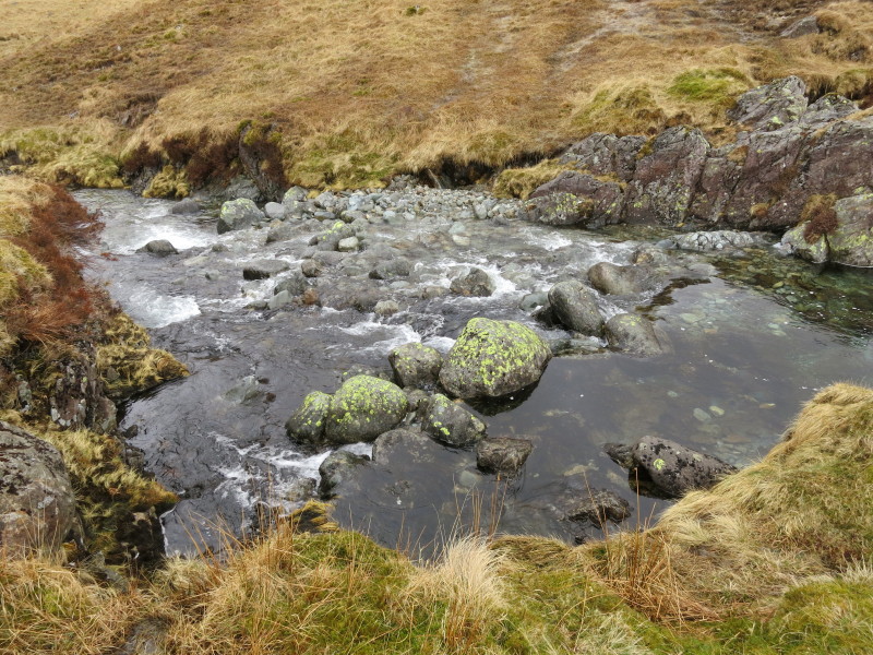
Hmm, this looks about as good as it is going to get, and the trampled
ground on the other side suggests that quite a few people have crossed
here. I'm not the most sure-footed of stream-crossers, but made it
across with dry feet.
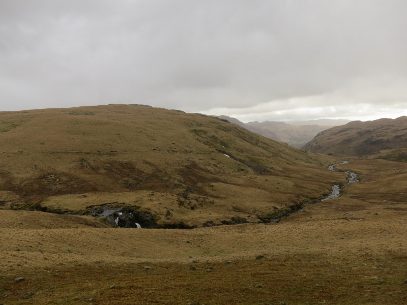
Regaining height, a look back to Lingcove Beck which I've crossed, with
Yew Bank behind it.
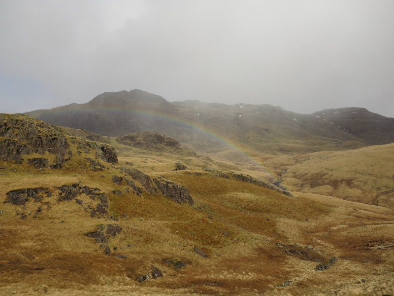
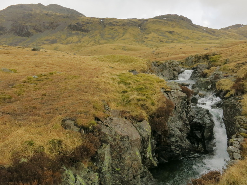
Gaining more height. A rainbow springs from Lingcove Beck, with Crinkle
Crags behind.
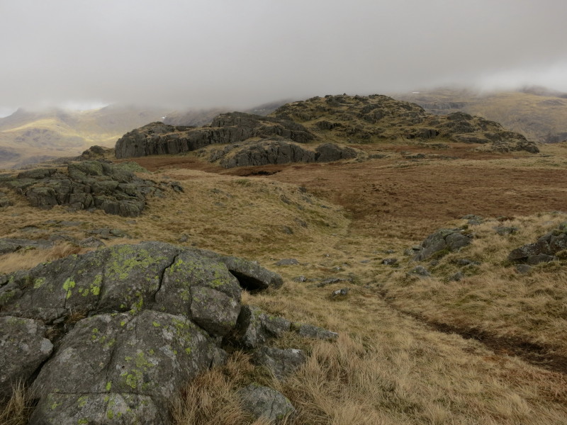
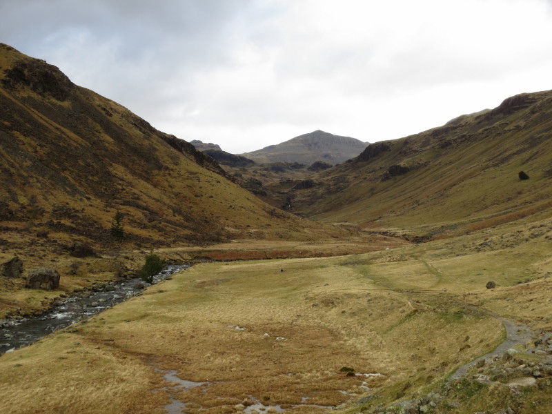
From Throstlehow Crag, a look across the south ridge of Esk Pike to the
pointed top of Bowfell
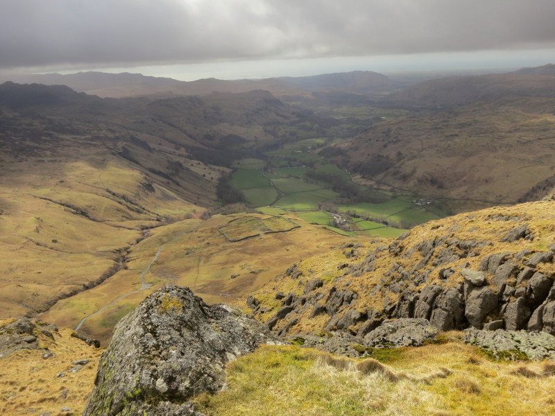
Looking across the steep-sided valley of Eskdale to Slight Side
And looking down Eskdale from Throstlehow Crag. Harter Fell is centre;
on the left is the ridge of Yew Bank, Hard Knott and Border End. My
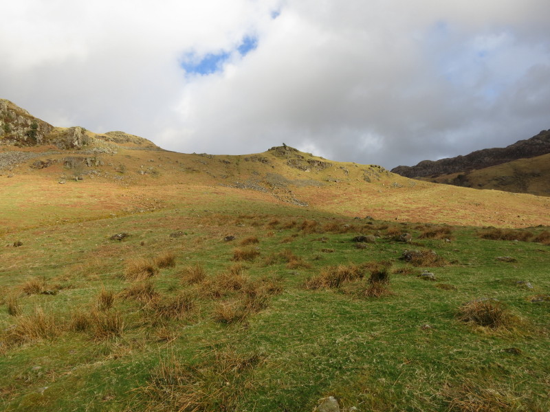
route lies back alongside the river Esk. From the summit an easy descent
NW on grass leads to the main path along the valley.
Some of the summits of Crinkle Crags from Throstlehow Crag
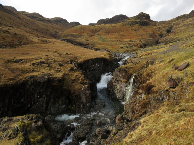
Descent from Throstlehow Crag safely made to the path alongside the Esk,
which here descends fairly steeply through a series of cascades. Just
left of centre is Scafell Pike, with the pass of Mickledore to its left.
To the right of Scafell Pike can just be seen Broad Crag hiding behind
Pen, with Ill Crag to its right.
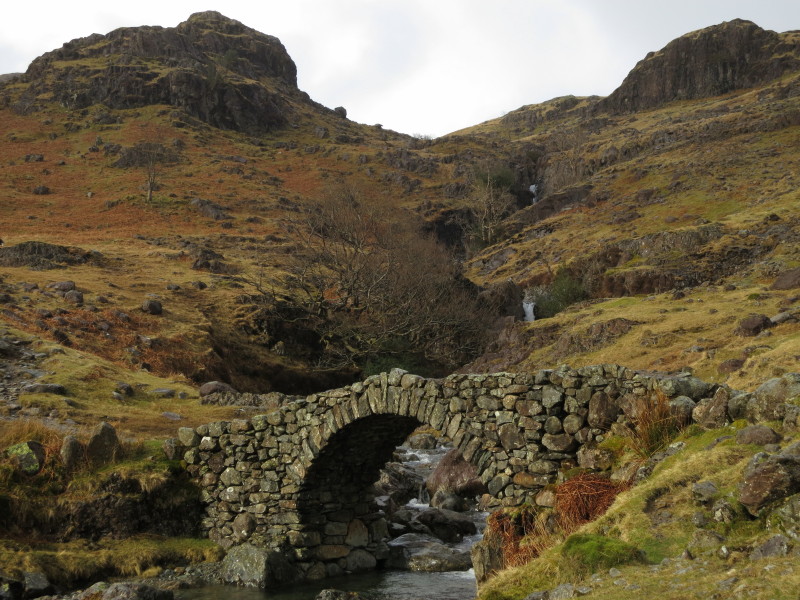
The delightful Lincove Bridge is wonderfully situated with Lingcove Beck
cascading down between crags, meeting the River Esk about where I am
standing.
A little further downstream, the River Esk is almost at the end of its
more dramatic section: in the middle distance is the watersmeet where
the Esk comes down from the left and Lingcove Beck from the right, with
my last summit of Throstlehow Crag towering above.
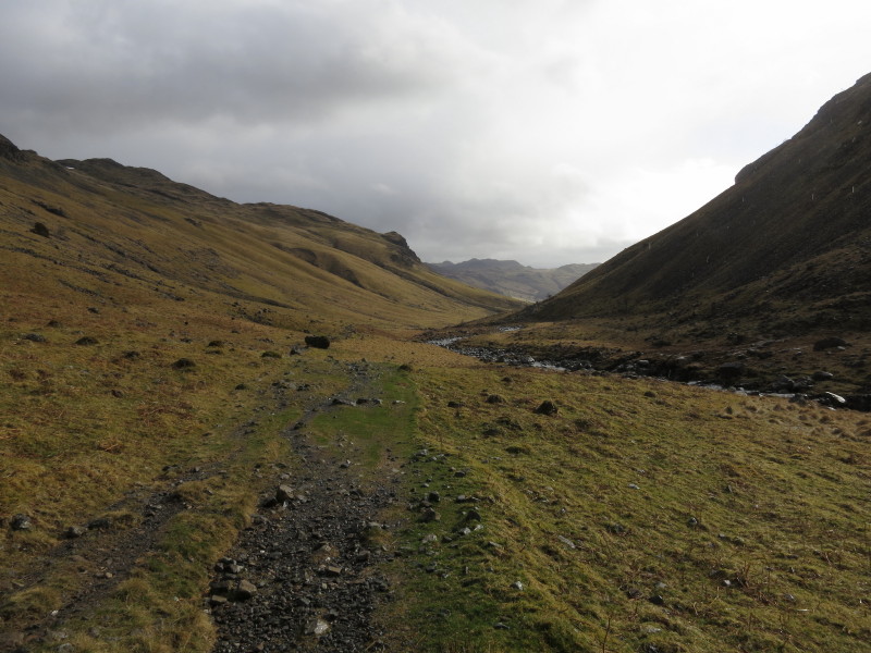
Heading down Eskdale, and the Esk has shed a little of its youthful
exuberance
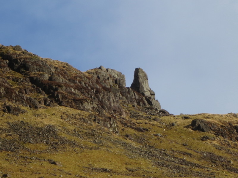
Eskdale Needle is high up on the fell side
As I continue my descent of Eskdale, Bowfell has now become prominent
behind
Almost at the end of the walk, but the last section is all uphill, and
it feels very hard work.
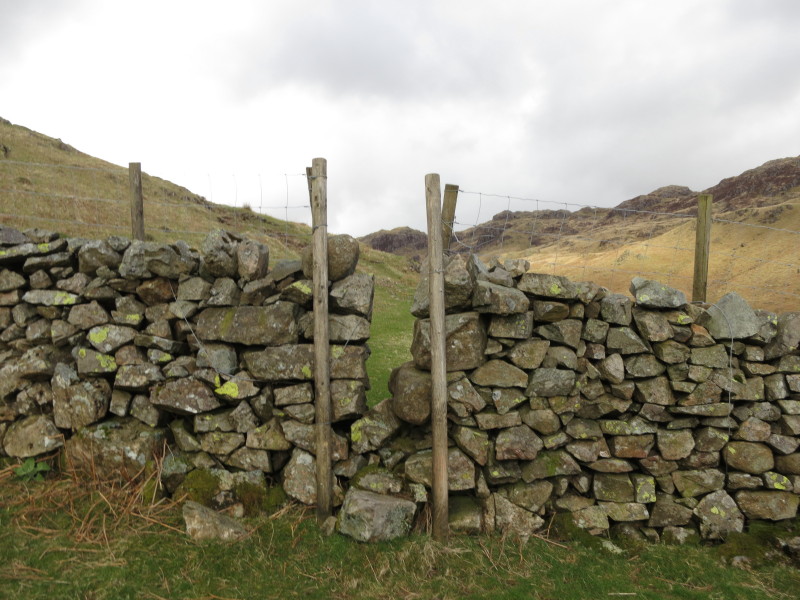
A very narrow stile
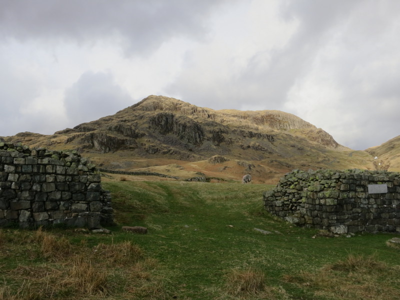
Border End, where I was earlier, looking down on this Roman fort
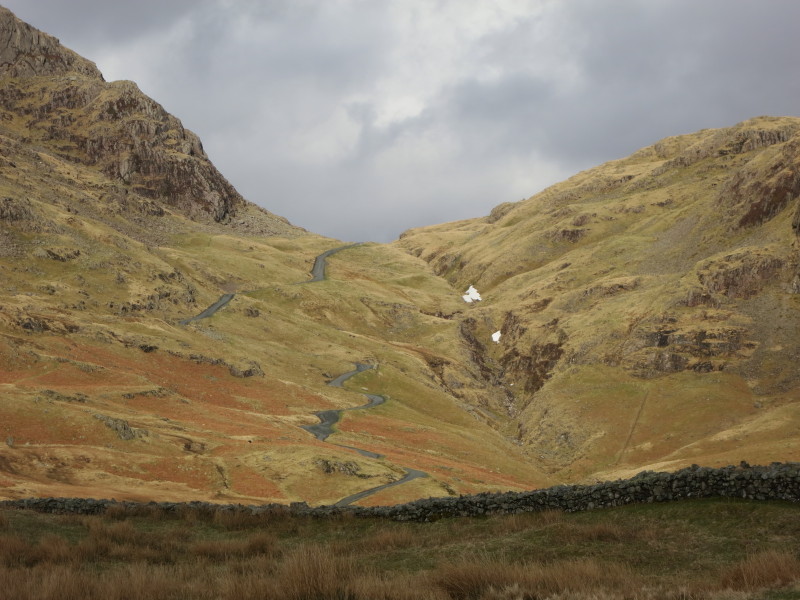
From the fort, the view up Hardknott Pass.
And a last look at the Roman fort before I reach the car, just as a very
intense hail-storm arrived.
Improving weather and some glorious scenery despite the cloud, but a good deal
of path-less walking meant this took a bit longer than expected
Total distance 11.5 km and 662 metres of ascent in 4 hours 48 mins
Lake District weekend, April 2013
|
|