North Downs Way:
Merstham to Westerham
27 October 2007
After a train from Edmonton to Merstham, changing at Seven Sisters, Victoria and
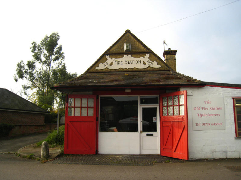
East Croydon, we have a walk through Merstham, now divided by the M25. Here is
the old fire station from 1901.
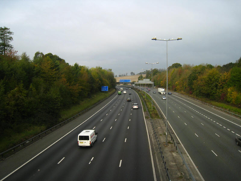
Here the North Downs Way crosses the M25 for the first time (of two), but the
noise of the motorway is to be our constant companion for today's walk.

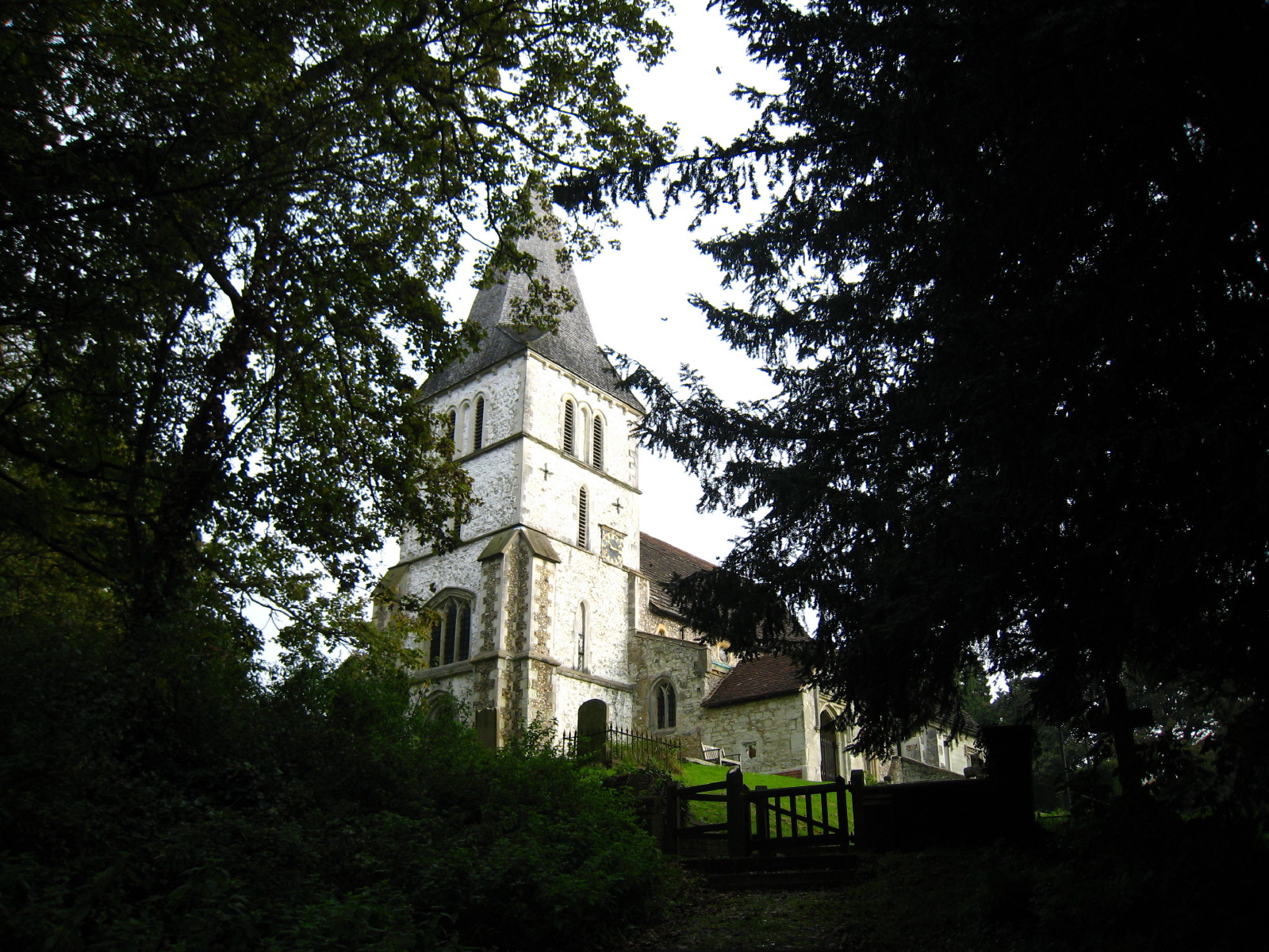
St Katherine's church, Merstham. The church tower is slightly over-exposed, but
it is quite noticeably white anyway. After that, we cross the A23, have nearly a
kilometre of pavement plodding past expensive Merstham houses, and then cross
under the M23

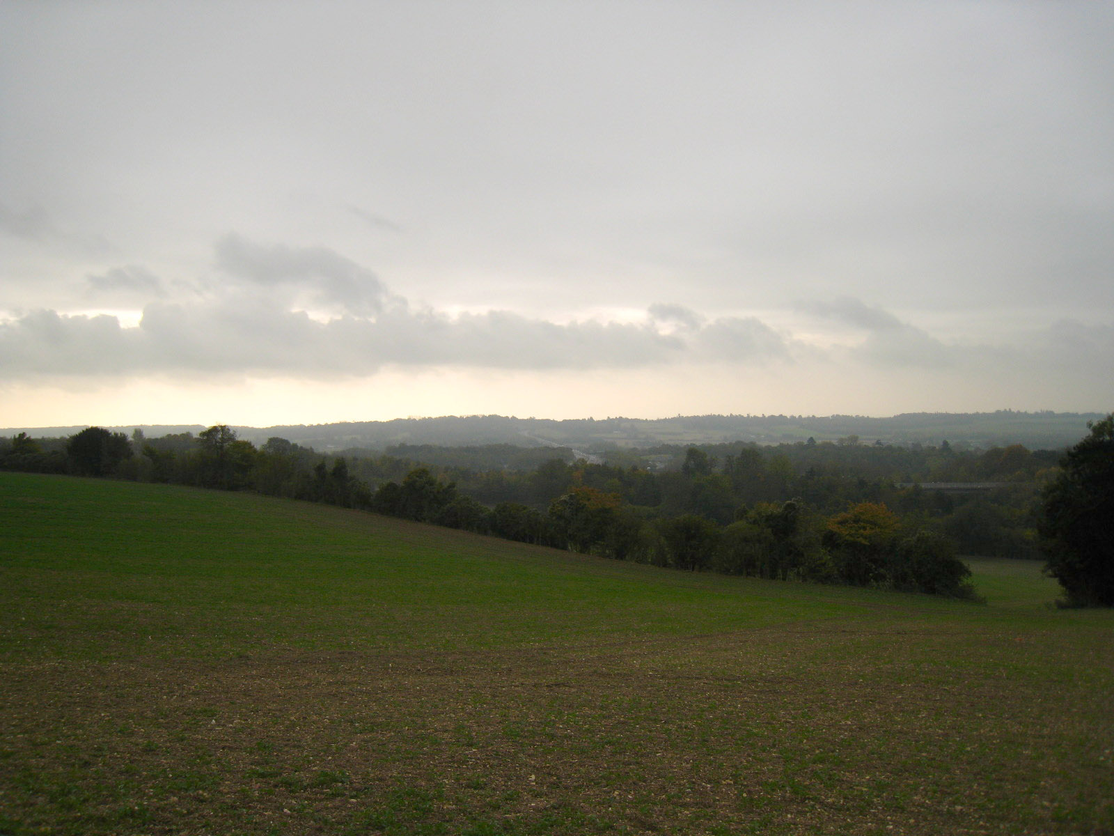
We then begin to climb Ockley Hill. Here a look west - as in so many of today's
views, the M25 cuts across the landscape.
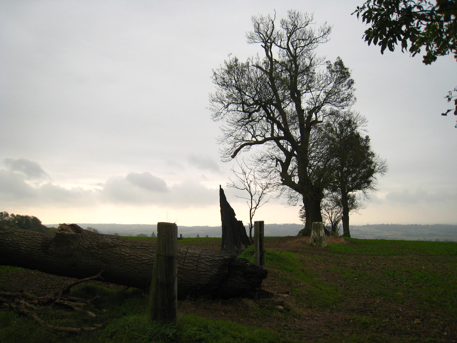
At the top of Ockley Hill with its 202-metre-high trig point.

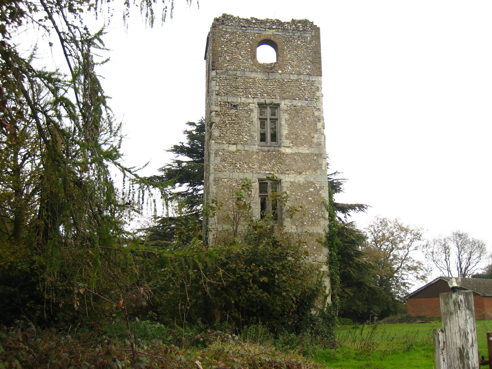
We then make our way along lanes along the top of the Downs, passing the
derelict folly of Whitehill Tower
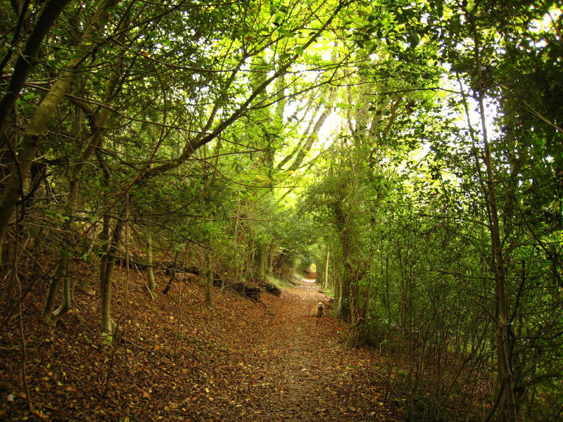
After more road walking, we are pleased to escape onto the original route of the
ancient trackway when the modern route heads a little further north.
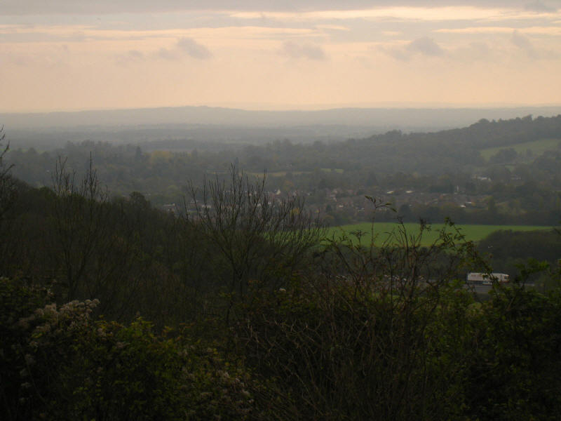
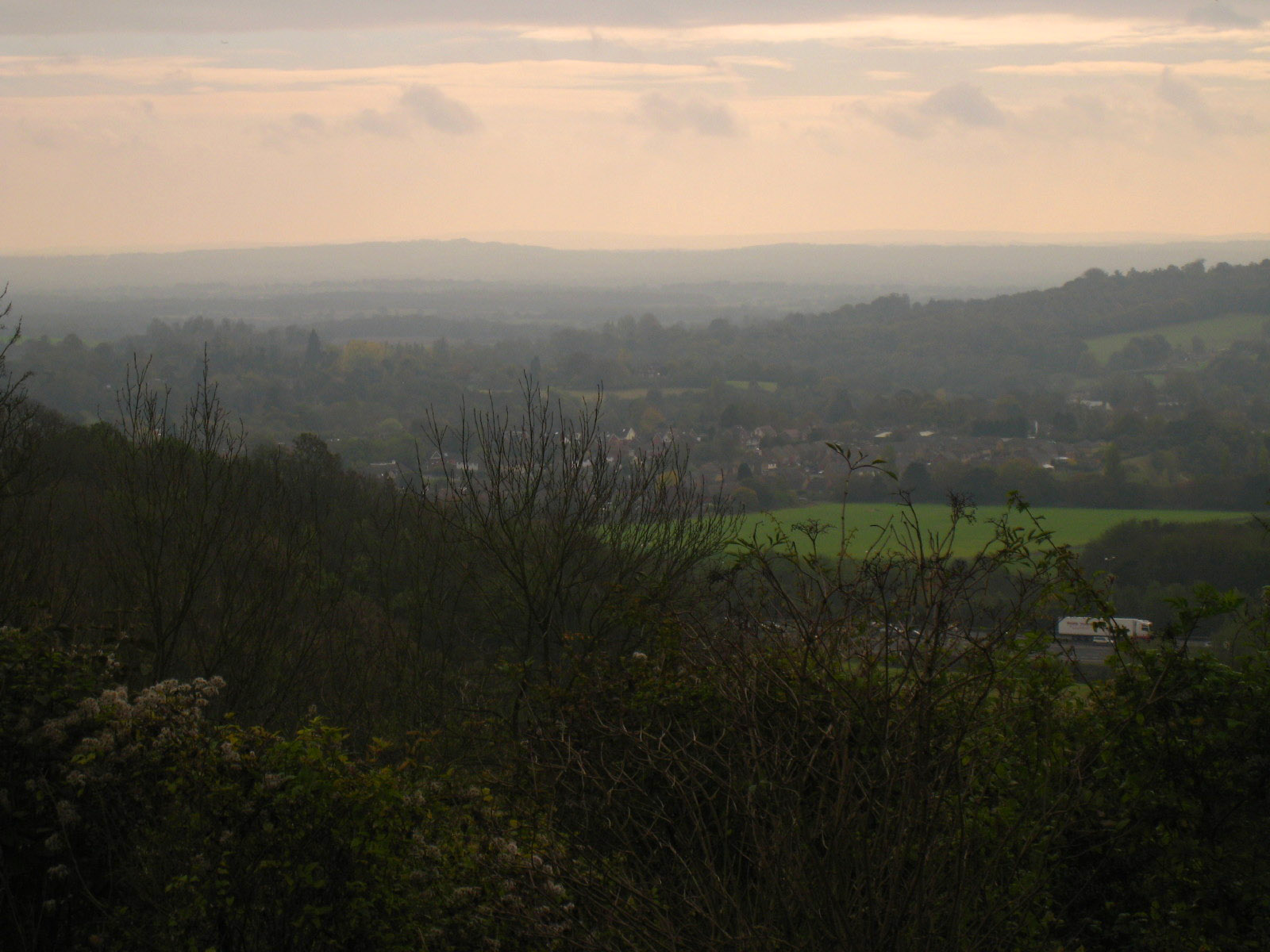
At Caterham viewpoint, we emerge from the woods and stop for our first lunch. If
you ignore the M25, the view is extensive, with wave upon wave of hills
disappearing into the gently coloured haze beyond the village of Godstone.
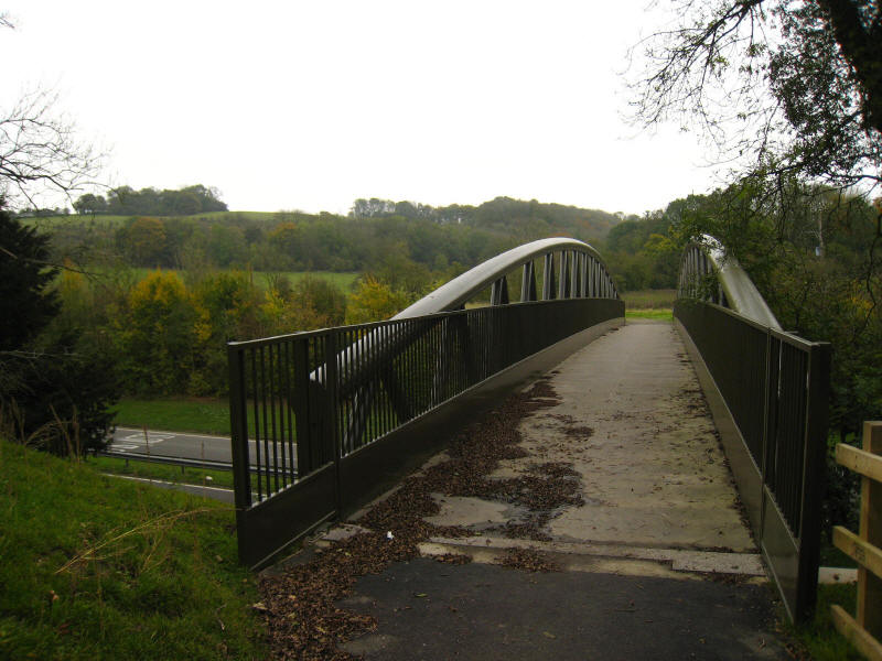
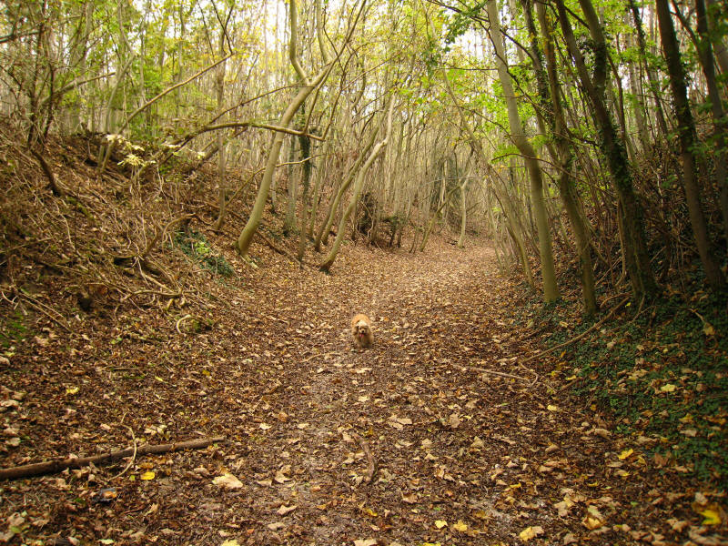
A bit more woodland walking takes us to the crossing of the A22. This is a
bridge we see quite often, being on the route to Lucy's parents.
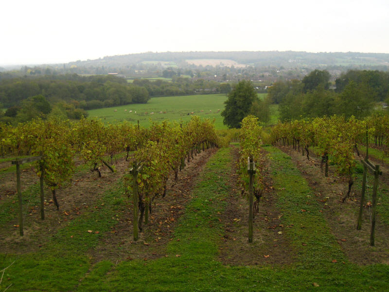
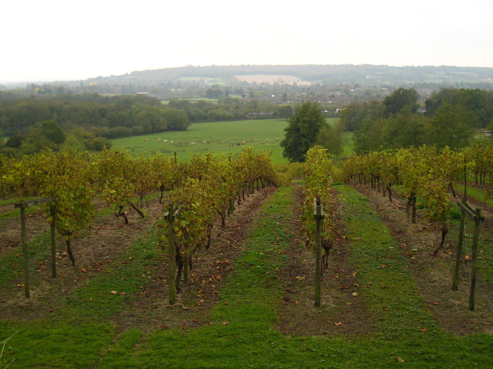
After a slightly confusing section to get onto the track around Winders Hill,
where the guidebook didn't seem quite to fit with the reality on the ground, we
pass a vineyard.
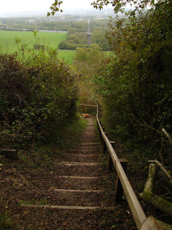
More woods, some owned by the Woodland Trust, and more hills: Tandridge Hill,
Gangers Hill, before we begin a steep descent off the Downs escarpment, a
descent made easy by these steps, coincidentally on the line of the Oxted
railway tunnel, 1 mile and 66 chains long and built in 1878 as part of the route
from South Croydon to East Grinstead: the railway can be seen continuing in a
line towards the top of the picture.
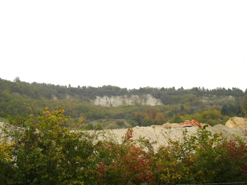
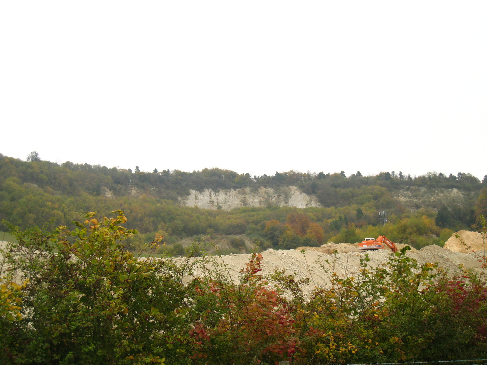
After a bit of contouring of the hillside at the bottom of those steps, we
descended the rest of the slope and worked our way around this quarry.
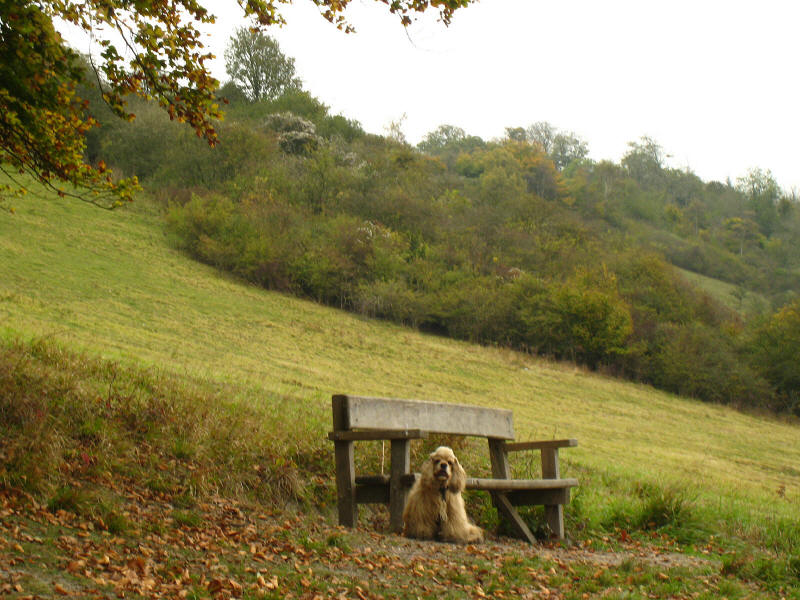
George suggests a rest, but it is only half an hour since our second lunch stop,
and so time to press on.
Contouring along the hill near the base of the escarpment, the path toys with
us. Having made that steep descent, we know that a re-ascent will be needed, and
eventually it comes when we reach Pinchfont Lane, a byway which climbs up almost
to the top of Botley Hill (a Marilyn)

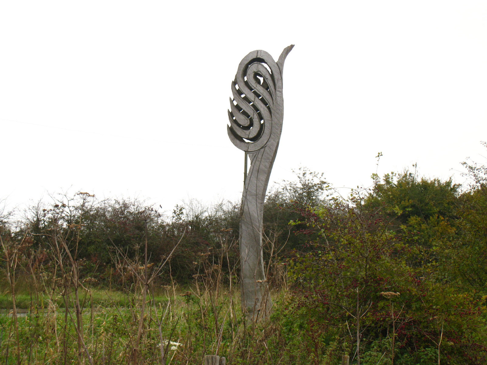
We're making good progress now, and a mixture of woodland and arable field
walking brings us back to the lane along the top of the Downs. What this
sculpture is supposed to represent, I'm not sure.
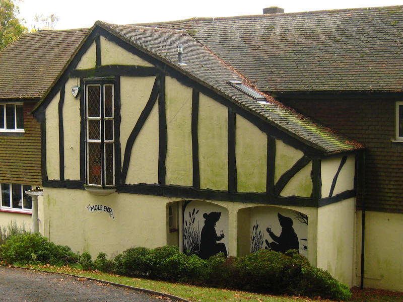
We then walk along Chestnut Avenue, which in addition to leading to Park Wood
Golf Course, also is the access of a number of expensive-looking houses,
including Mole End here, with a Mole and Ratty mural.
Chestnut Avenue deteriorates from a tarmacked road to a stony road to a muddy
track on its way to the A233 Westerham Hill and the end of our walk: along the
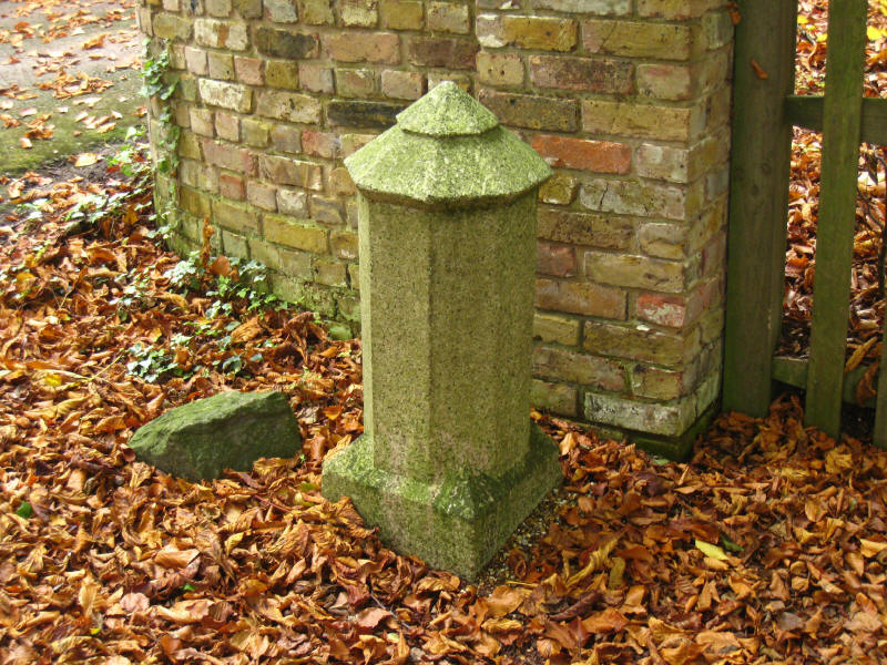
way we pass this pillar which marks the boundary between Surrey and Kent.
Total distance on the GPS was 20.0km (19.8km on the Way) with 514m ascent, in 4 hours
50 minutes - that means that
about 49% of the
North Downs Way is now walked.
 

|