Thames Path - Windsor to Chertsey
3 November 2007
The autumn weather continues very mild (15°C this afternoon) and today was sunny
too. I think today may be the end, but all the more reason to make the most of
it, and today George and Stephen returned to the Thames Path for the first time
since August. We had already walked the section to Windsor, and the section from
Chertsey, so this would fill in a nice gap.
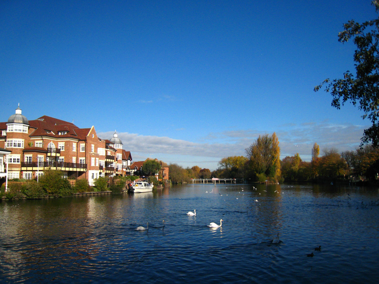
After getting the train to Windsor and Eton Riverside station (and it is
remarkable how popular the weekend trains to Windsor are) we started our walk
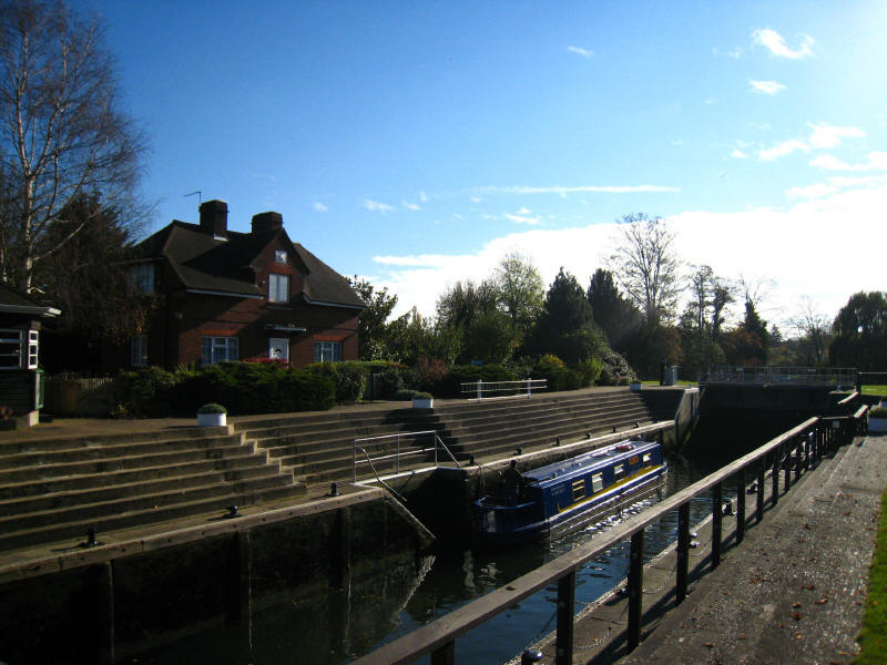
proper from Windsor Bridge, from where we look downstream towards the weir and
the lock cut for Romney Lock.
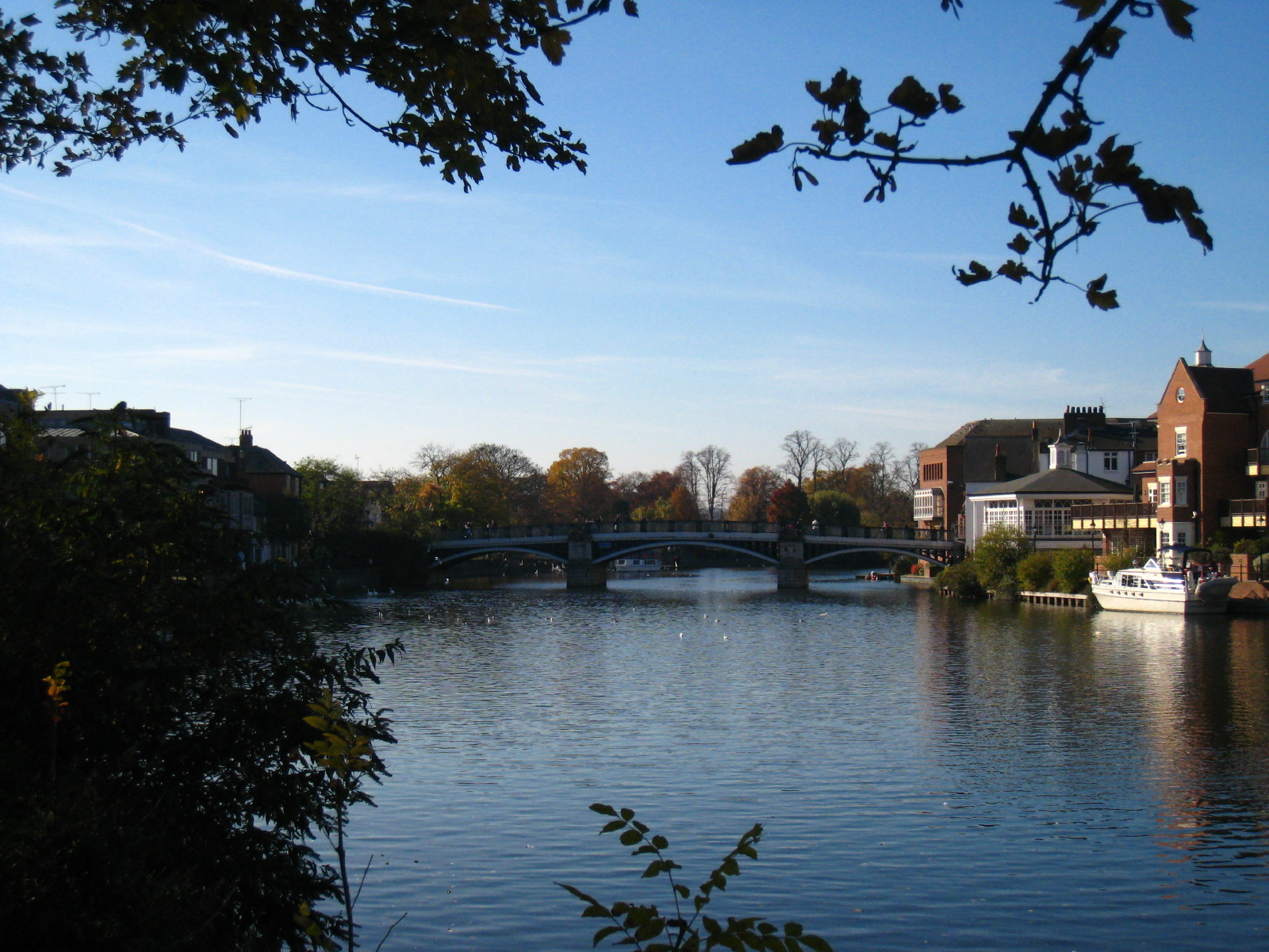
Looking back to the pedestrian-only Windsor Bridge from Eton (right bank) into
Windsor: opened in 1824, it closed to vehicles in 1970 when cracks were found in
some of the cast iron segments.
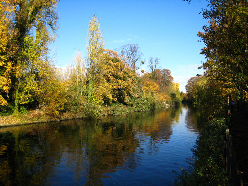
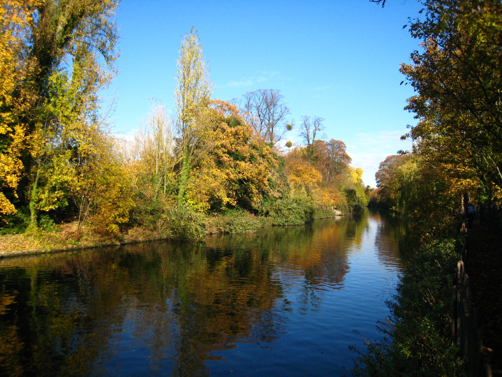
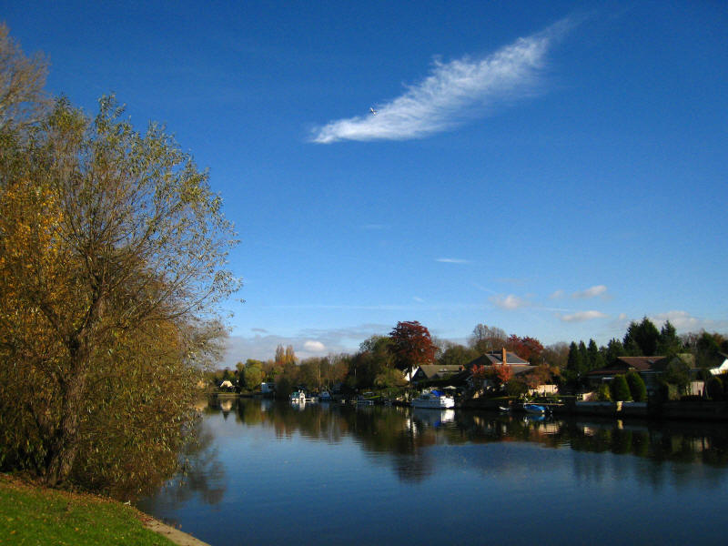
The lock cut leading to Romney Lock, with the warm weather prolonging the autumn
colours this year
The Thames Path is diverted to the east bank from the original course of the
towpath, for "security" reasons, although one wonders whether it is really to
keep the plebs further away from the royals. This is a leisure river, with lots
of boats around (including a day-trip boatyard a few hundred metres downstream)
and there is no physical barrier to boats disgorging people onto that bank.
Adding a decent fence a few metres from the riverbank and allowing the Path to
return to the west bank would seem to improve things for walkers and add to
security.
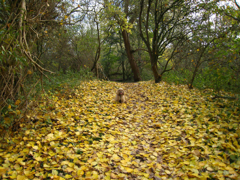
George in the woods as we approach Datchet.
First lunch spot was on a bench at Datchet.
After some road-side walking, we returned to the riverbank with the knowledge
that the remainder of the walk was on the banks. We crossed Albert Bridge to
regain the west bank and soon reach Old Windsor Lock (named after Old Windsor,
not the lock being old).
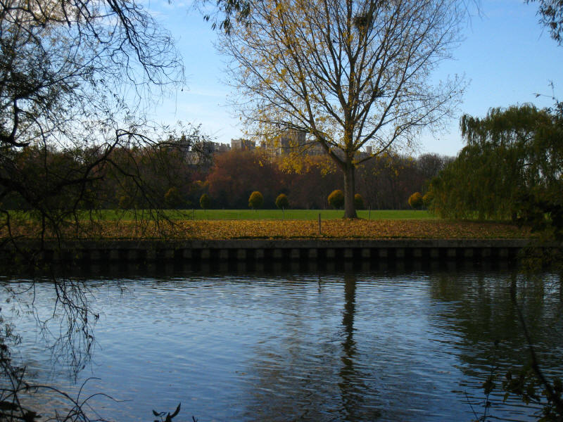
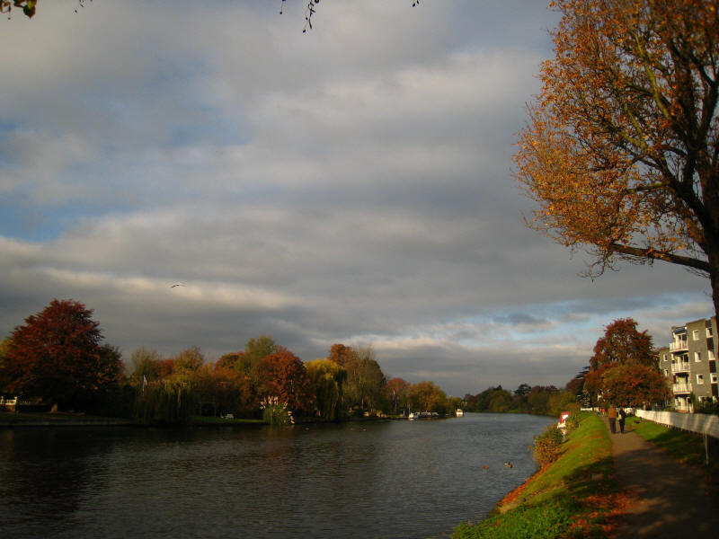
The river was quite calm in Old Windsor
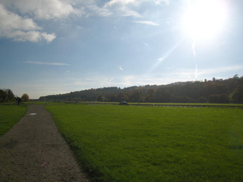
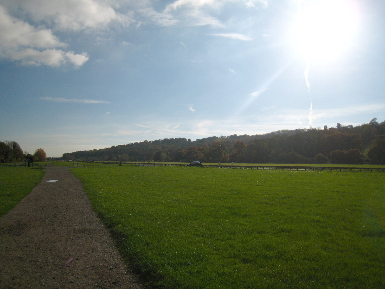
We then reached the meadows of Runnymede

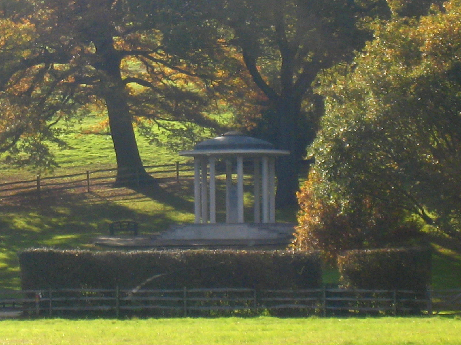
A long zoom to the Magna Carta temple: dating from 1957 it was donated by the
American Bar Association. Somewhere hereabouts it is traditionally believed that
King John was forced to sign the Magna Carta, an important stage in the
centuries-long process of the move to constitutional law, and which influenced
the United States Constitution and Bill of Rights.
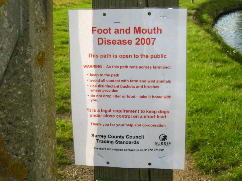
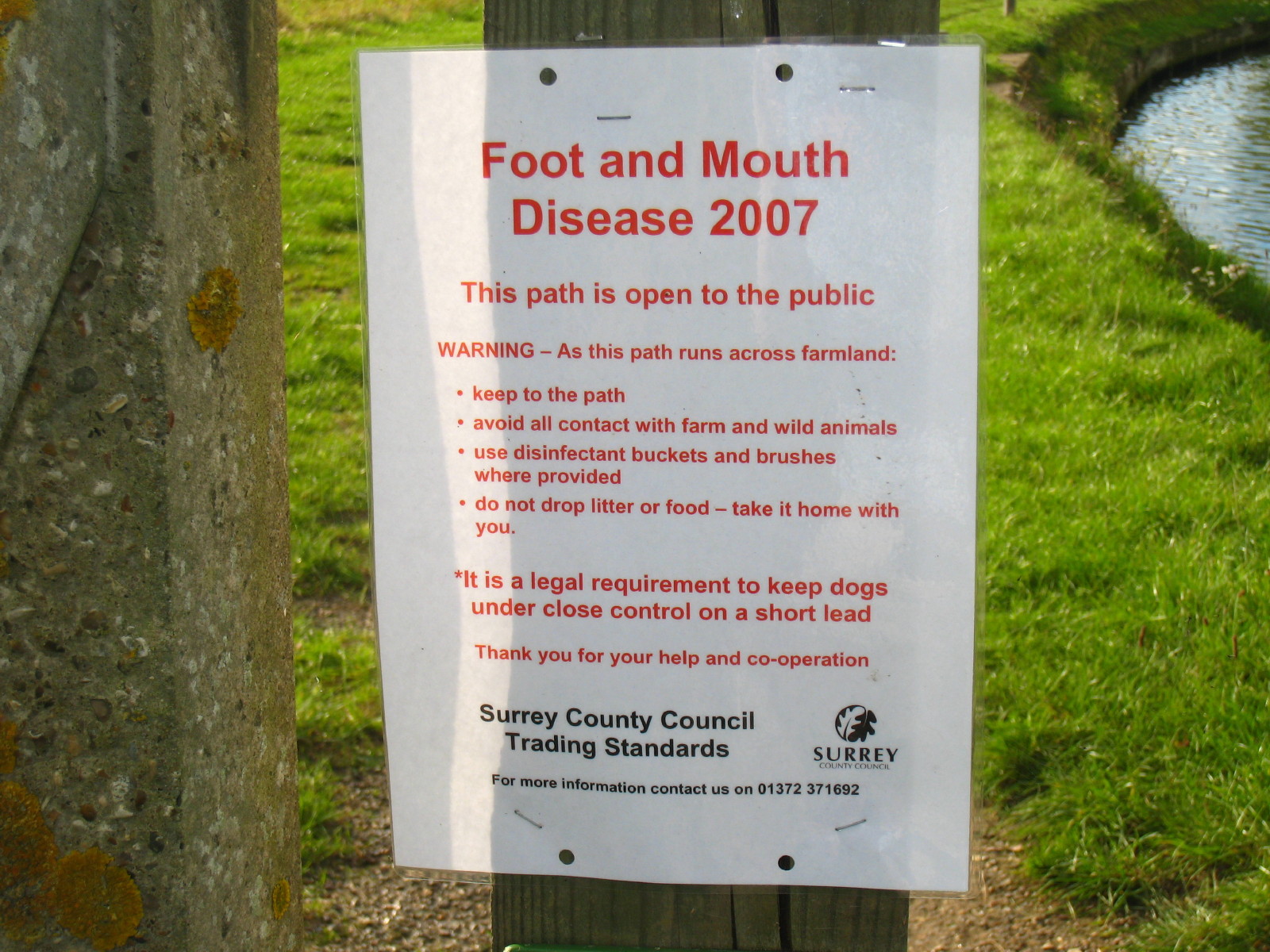
One of a number of such notices found along today's route. The path does not run
across farmland, and since the Control Zone was lifted on 3 October, it is no
longer a legal requirement to keep dogs on a short lead. Other notices even went
to far as to say the path should only be used if essential (as well as repeating
the bit about dogs being on a short lead), which again is putting inappropriate
pressure on legitimate footpath users. If such notices are being posted, then
they should be updated as soon as the legal situation changes. Advising
additional precautions is fair enough, but stating the legal situation is one
thing when it is another is not appropriate for Government.
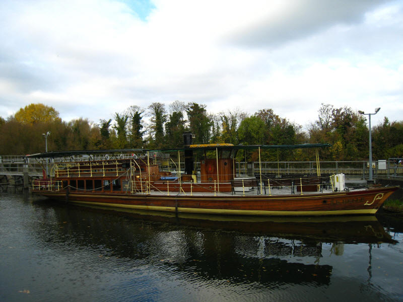
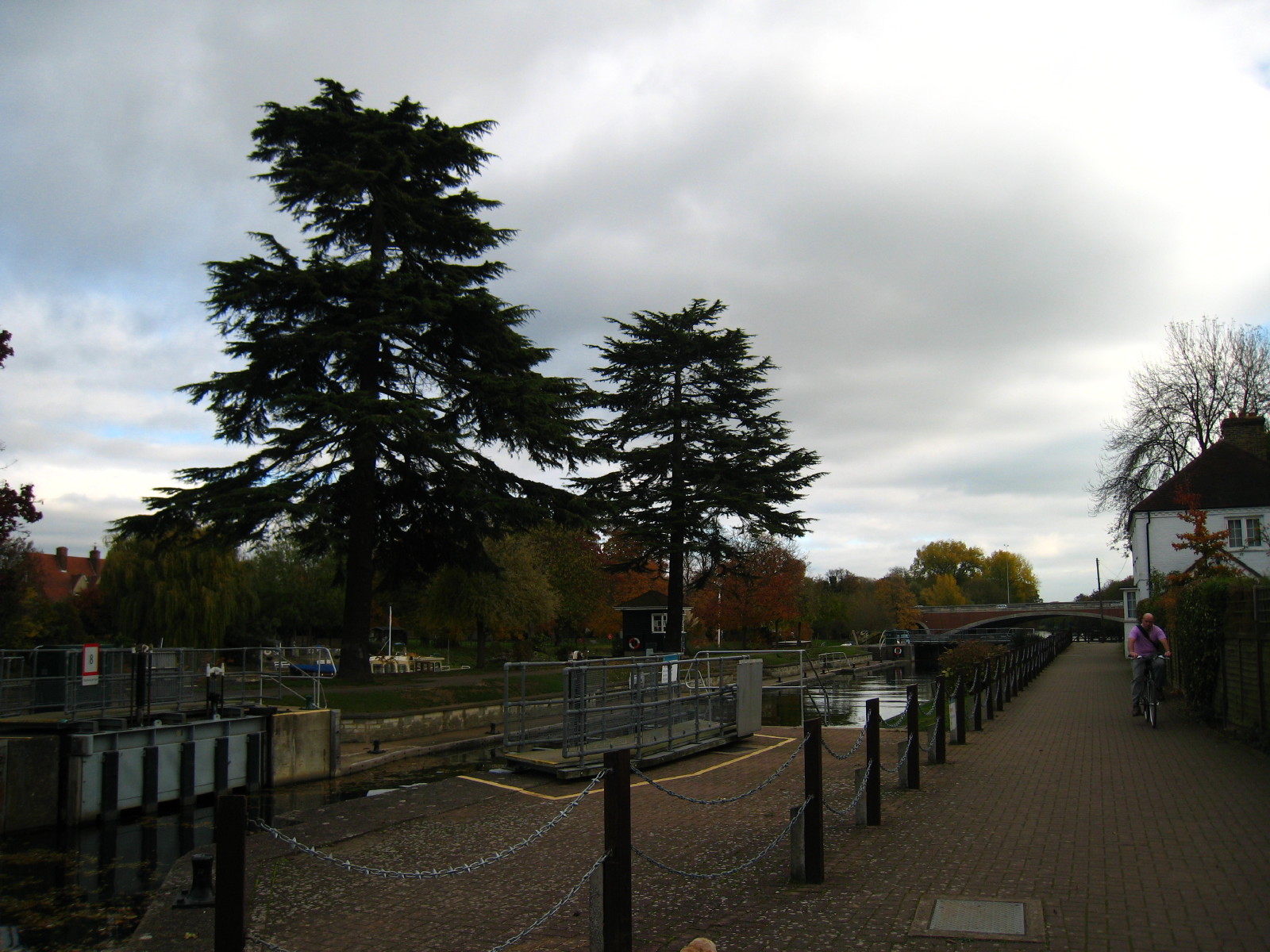
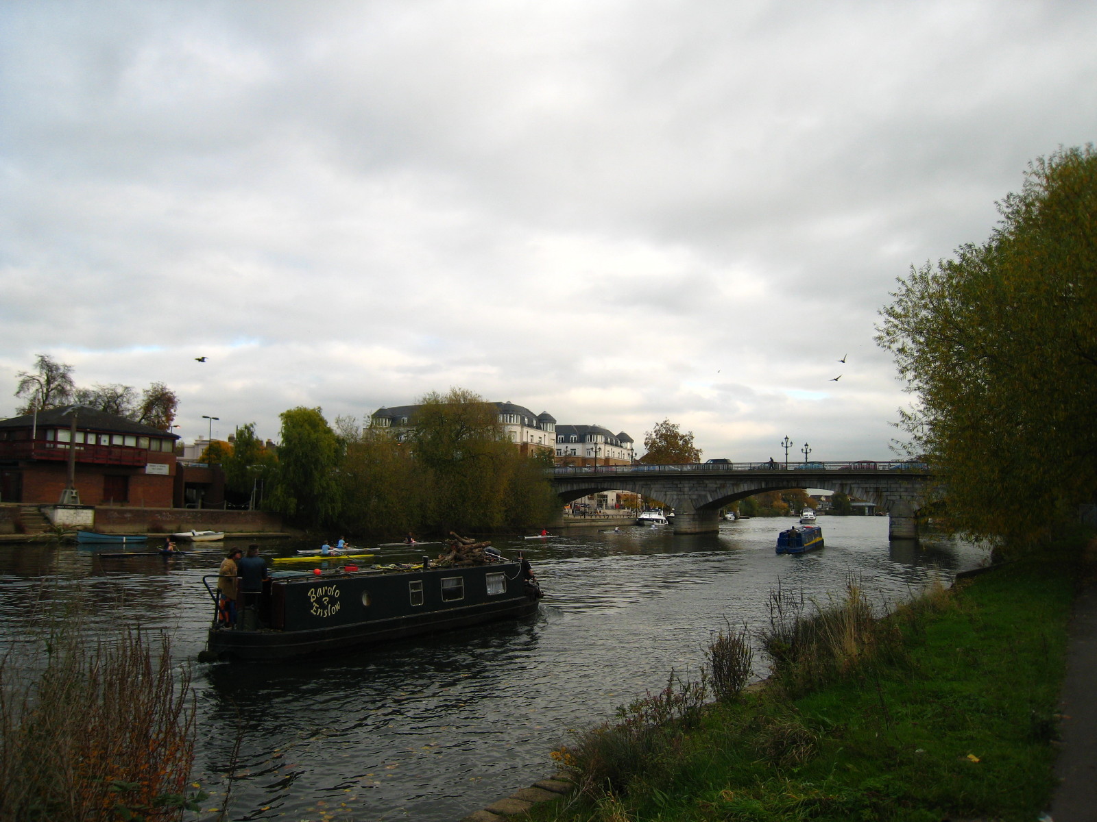
An attractive boat by Bellweir Lock

Bellweir Lock, just upstream of the M25 bridges.

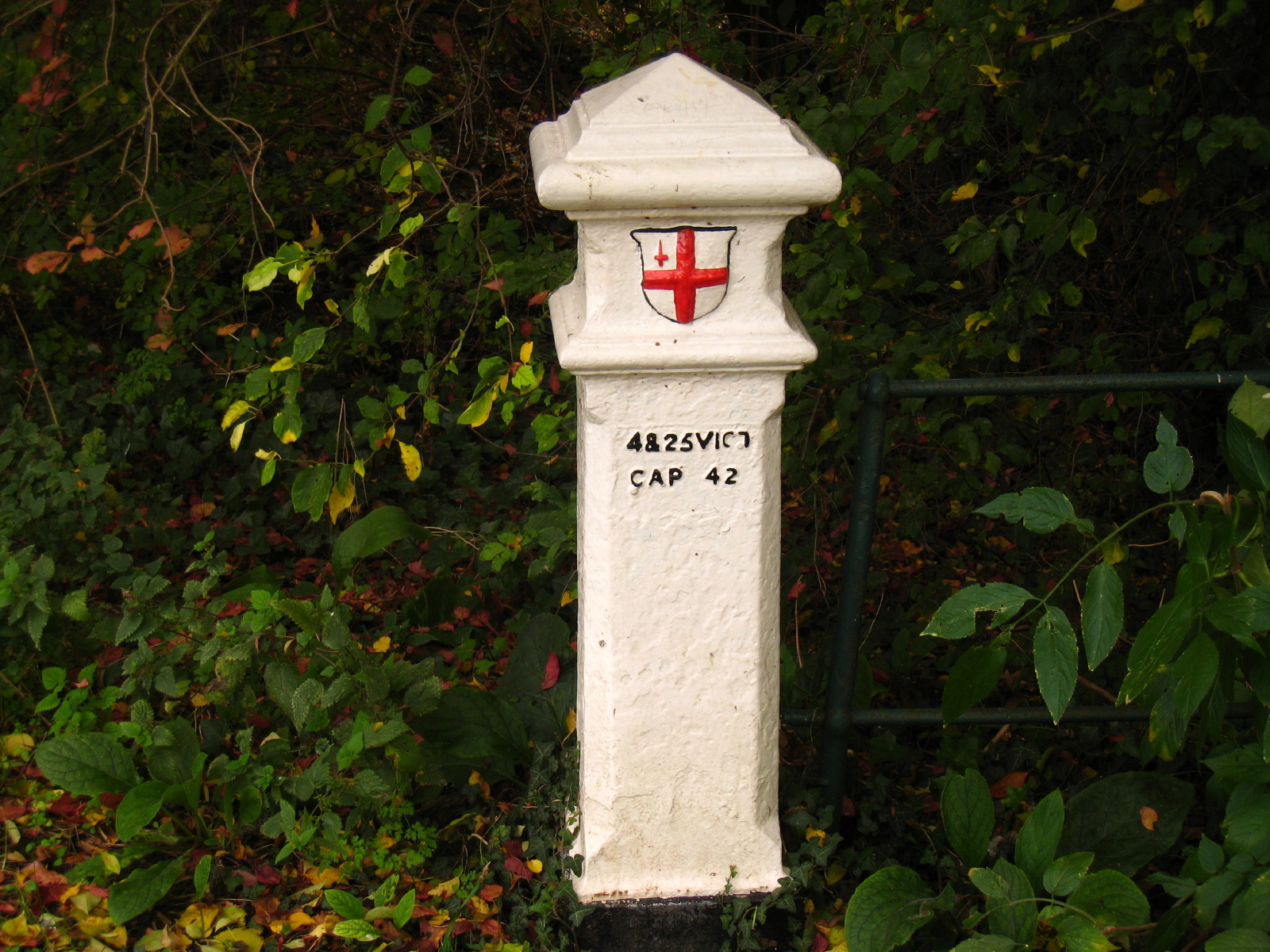
A short way below the M25 bridges, we pass a
coal post, erected under the London
Coal and Wine Duties Continuance Act 1861, to mark the boundary of the London
district and thus that coal and other commodities were subject to measuring and
taxation in passing this point. We passed another one just before the end of the
walk by Chertsey Bridge (the Thames forming the boundary around here).
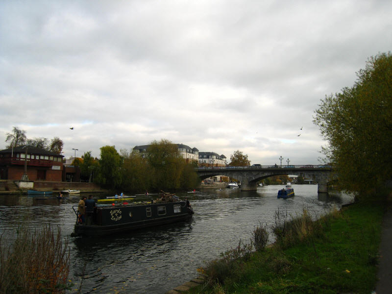
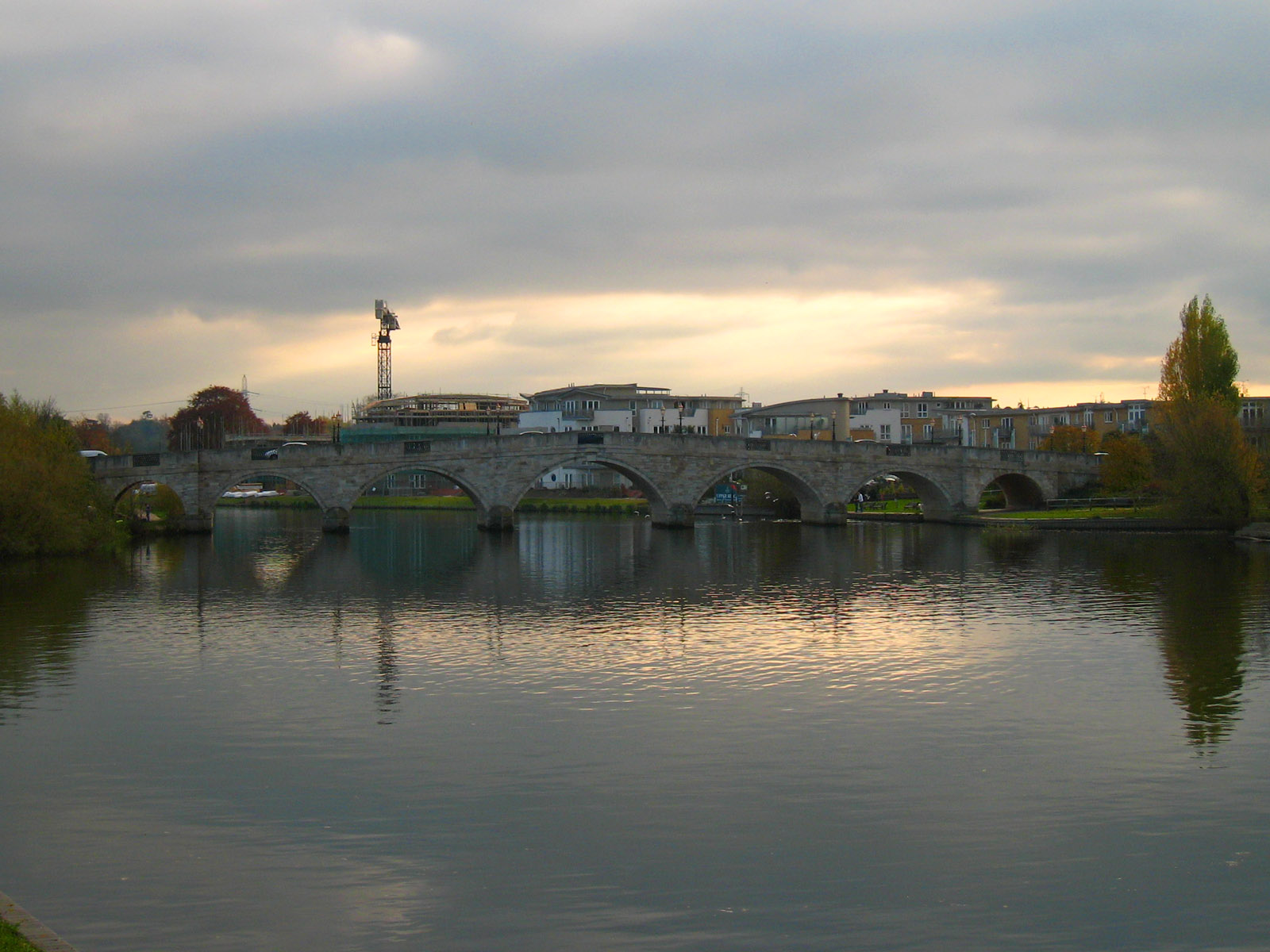
After walking past a chemical factory, we reach Staines and Staines Bridge,
which we use to cross once more to the east bank.
Walking along the Thames Path through Staines, a look northwards.

We continued along the east bank past Laleham, and eventually reach Chertsey
Bridge, which we crossed somewhat gingerly, the pavements being very narrow and
the cars travelling much too far given the narrow pavements.
Total distance 22.5 km (19.6 km on the Thames Path)
in 4 hours 40 mins.
 

|