Capital Ring: Finsbury Park to River Lee
19 January 2008
With the weather set to be wet, I decided that it was
a good opportunity to test my new waterproof coat but on a shorter walk
than has become normal for me. As I'm now walking the River Lea Walk,
part of which coincides with the Capital Ring, a walk along part of the
Capital Ring as far as the Lee seemed to offer the opportunity for a
two-birds-with-one-stone walk later in the year without leaving an
untidy gap. So with the train taken to Finsbury Park it was on with the
waterproofs and ho! for Springfield Marina.
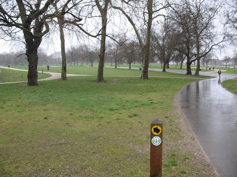
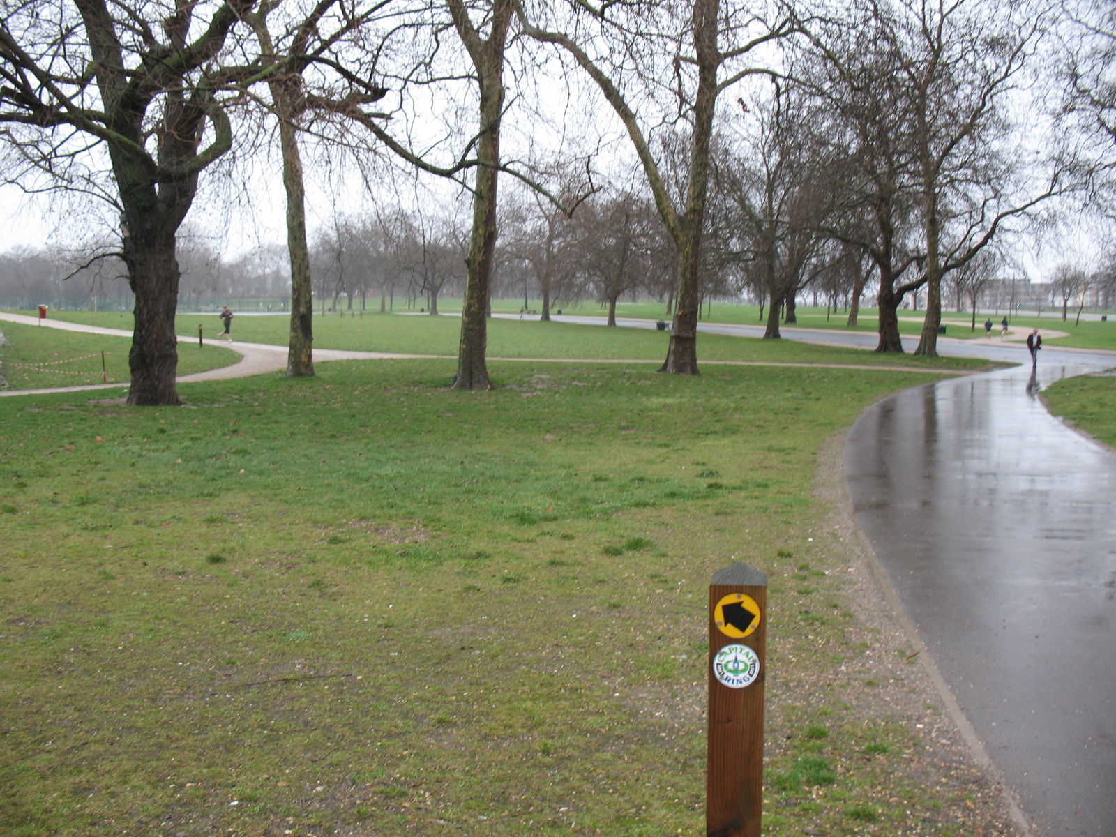
Finsbury Park in the rain, and the marker post directs us along the link
walk to the Capital Ring itself.
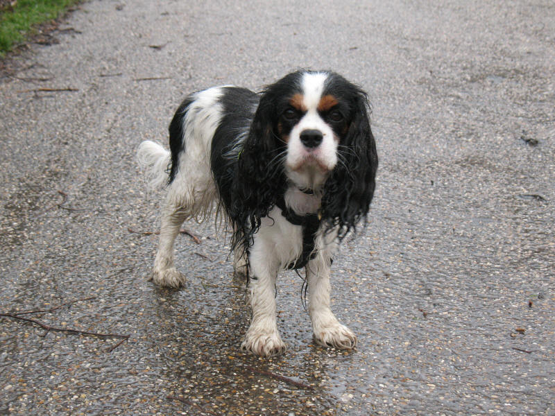
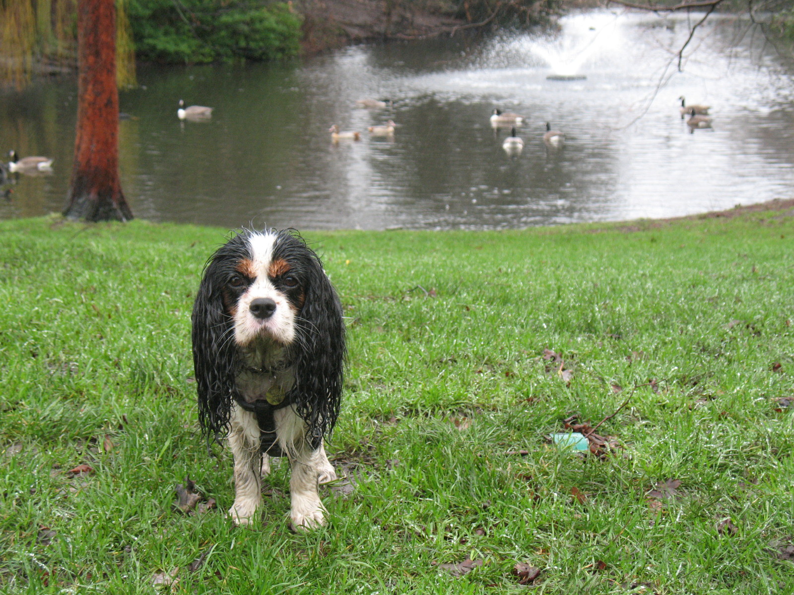
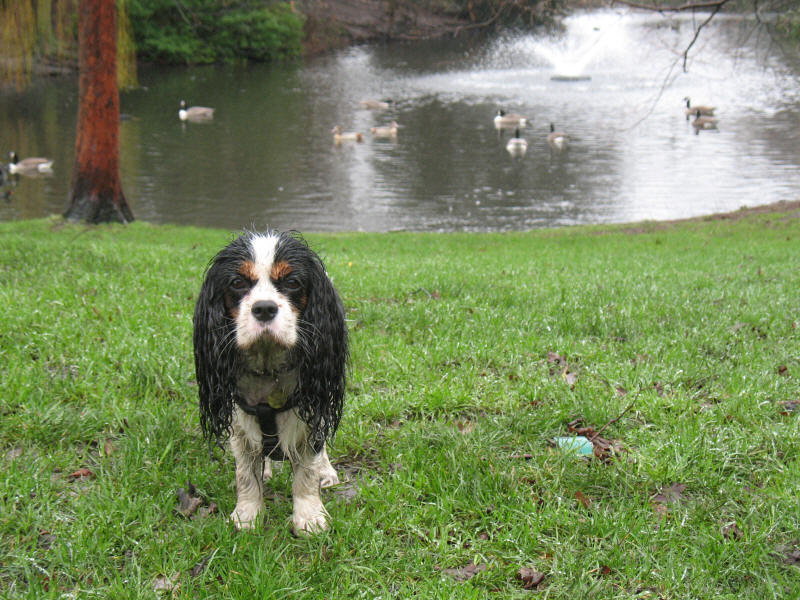
Ellie, starting to get damp
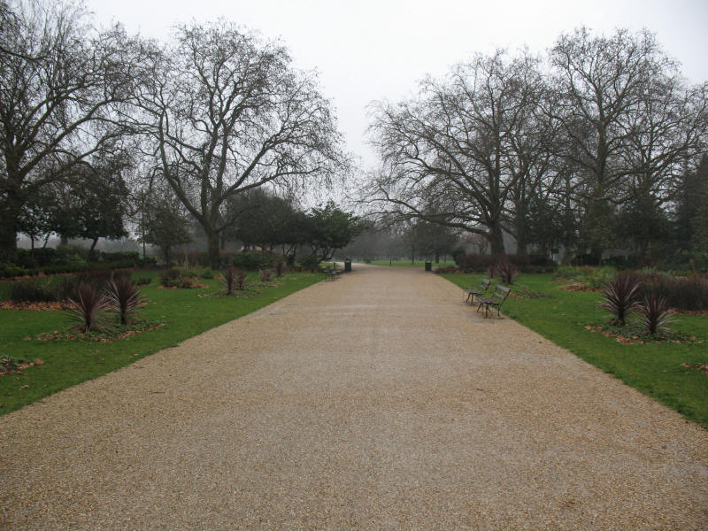
Following the Capital Ring through Finsbury Park

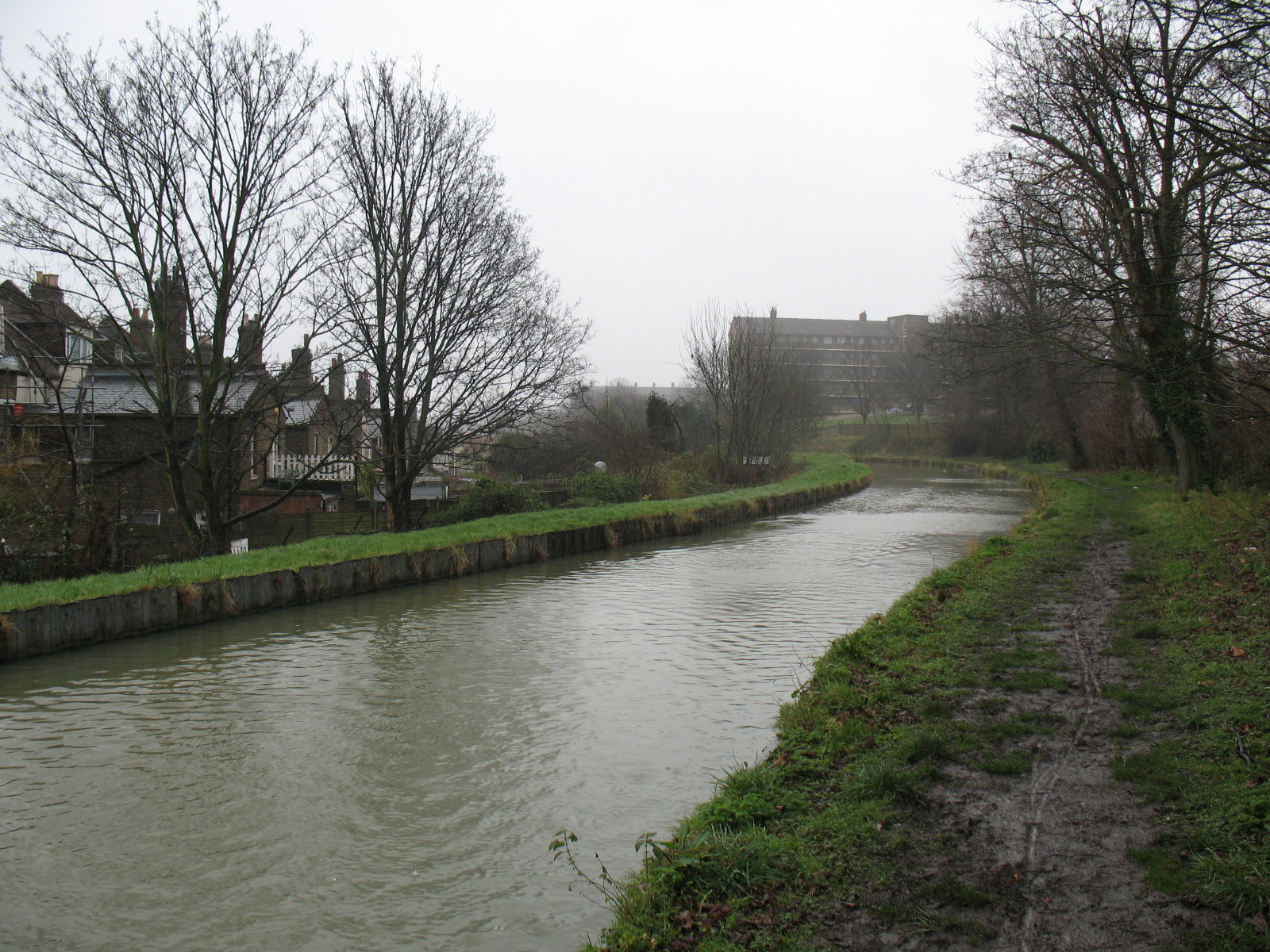
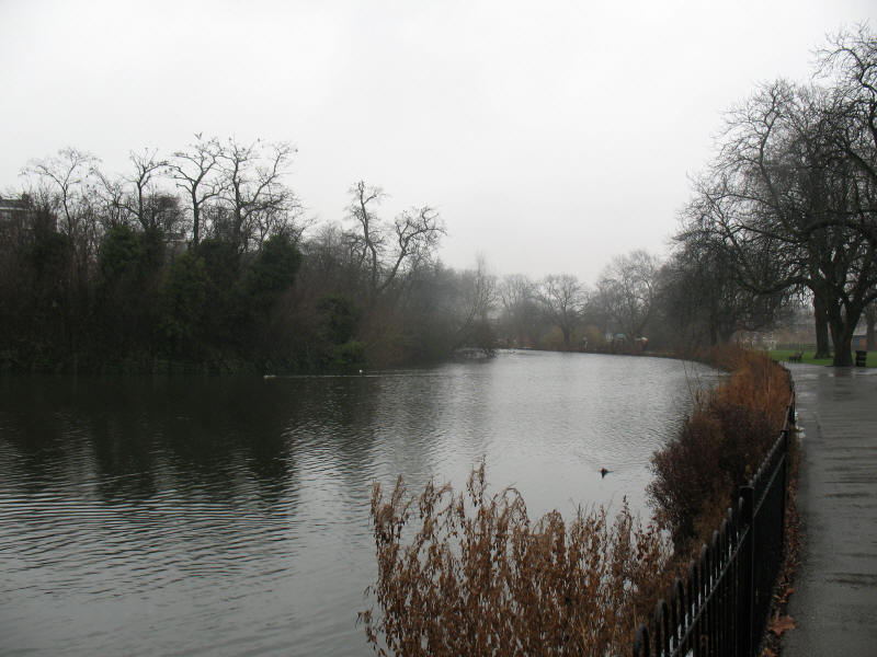
After Finsbury Park, the route joins the
New River, and for a
little while we follow a route that we have
already walked
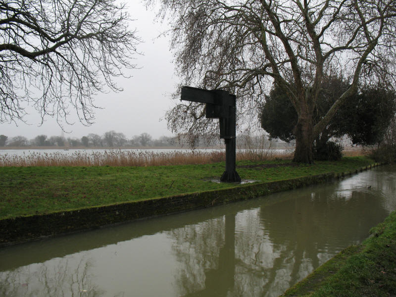
The New River here passes the reservoirs at Stoke Newington which it
supplies with water.
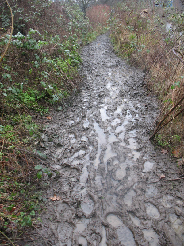
The New River Path was very muddy in places
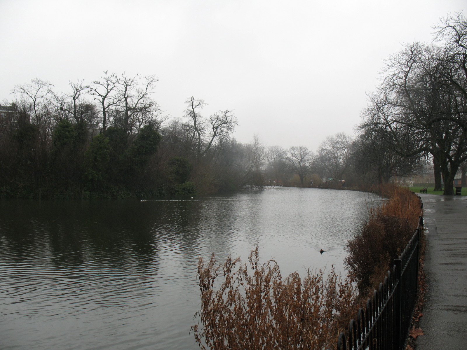
Safely away from the New River and its muddy path, we walk through
Clissold Park.
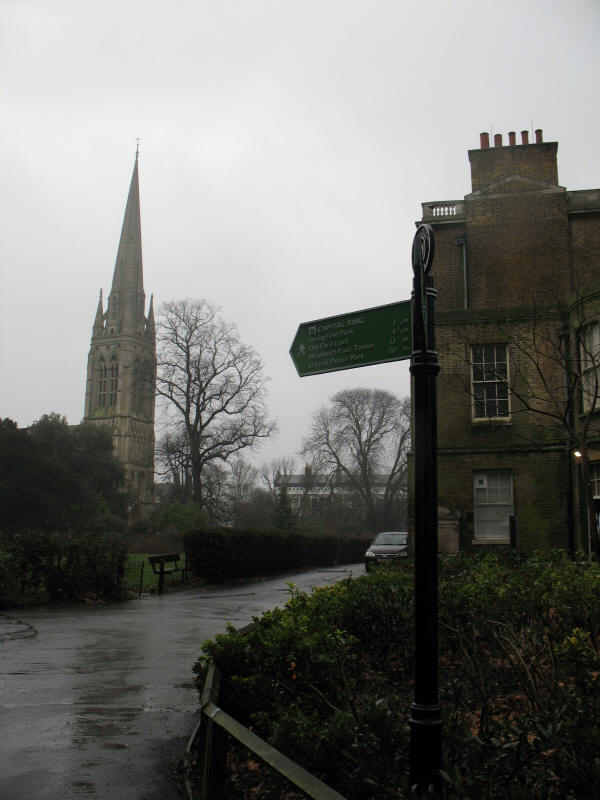
As we emerge from Clissold Park, a view of the new Stoke Newington
church from the back of Clissold House. The sign tells us that it is 13
miles to Woolwich Foot Tunnel
and 30 miles to
Crystal Palace
Park.
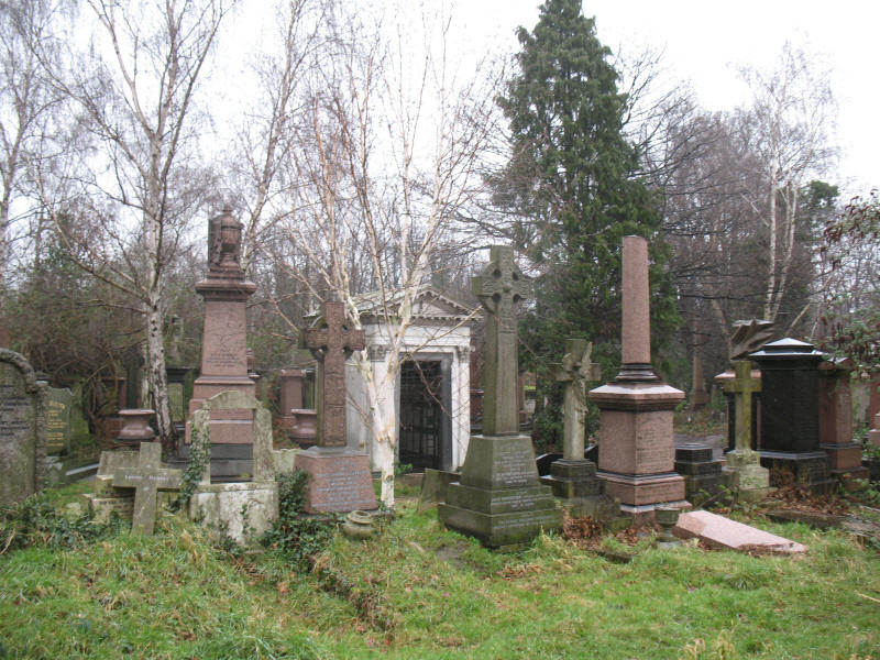
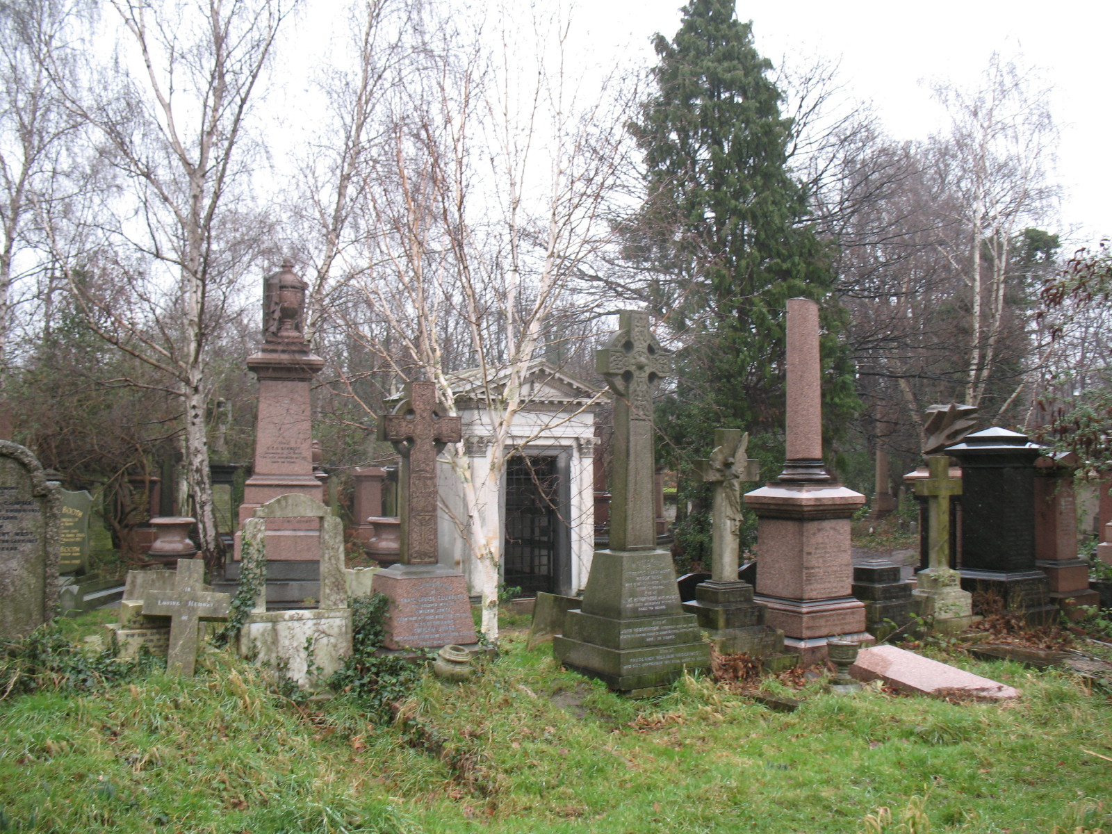
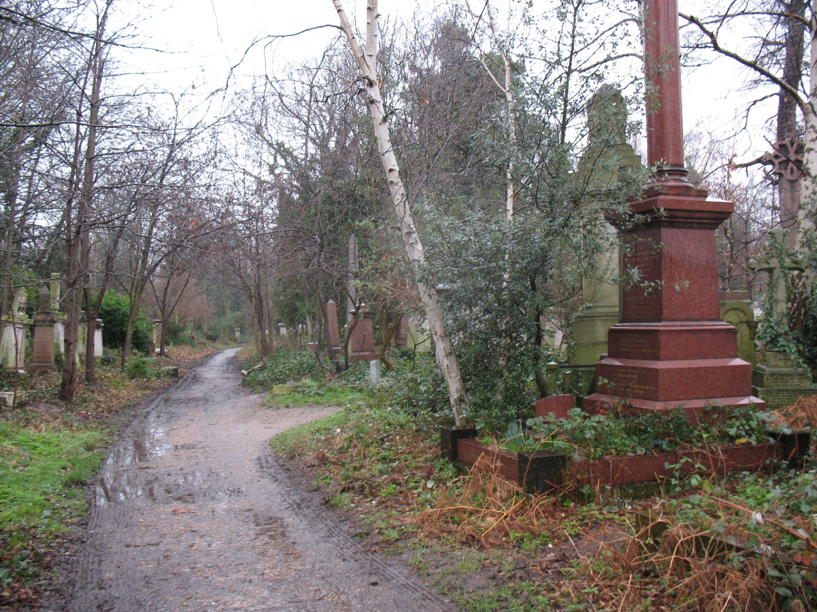
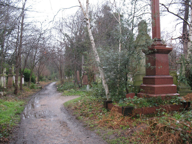
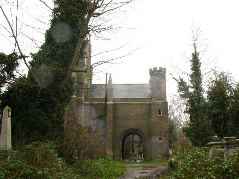
After Clissold Park there was some road walking and then the Ring goes
through Abney Park cemetery. This is a very odd place, and was solely
for "non-conformists" with more than 300,000 graves over 32 acres. It is
hugely overgrown after being abandoned, but as it once rivalled Kew
Gardens with 2500 different species it is a fascinating and peaceful
place to wander through, even in the rain.
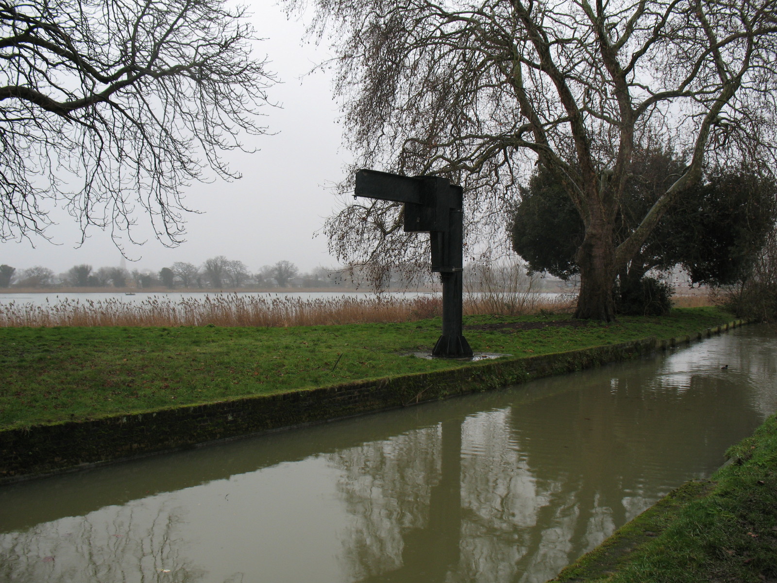
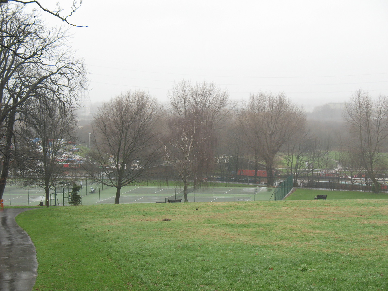
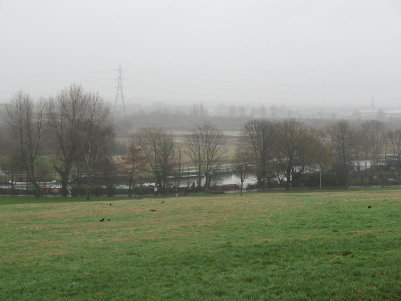
After a bit more road walking, we went into Springfield Park, London's
first Regionally Important Geological Site, where the underlying geology
is apparently more obvious than elsewhere in London.
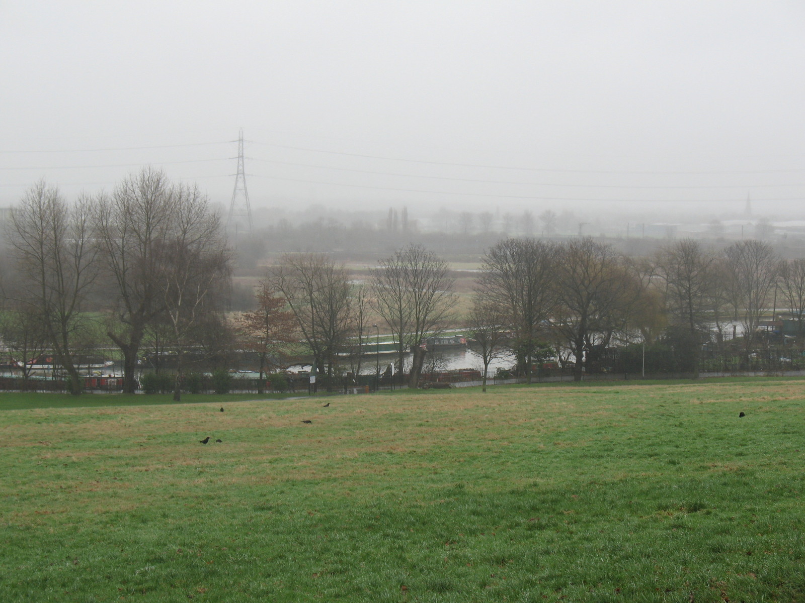
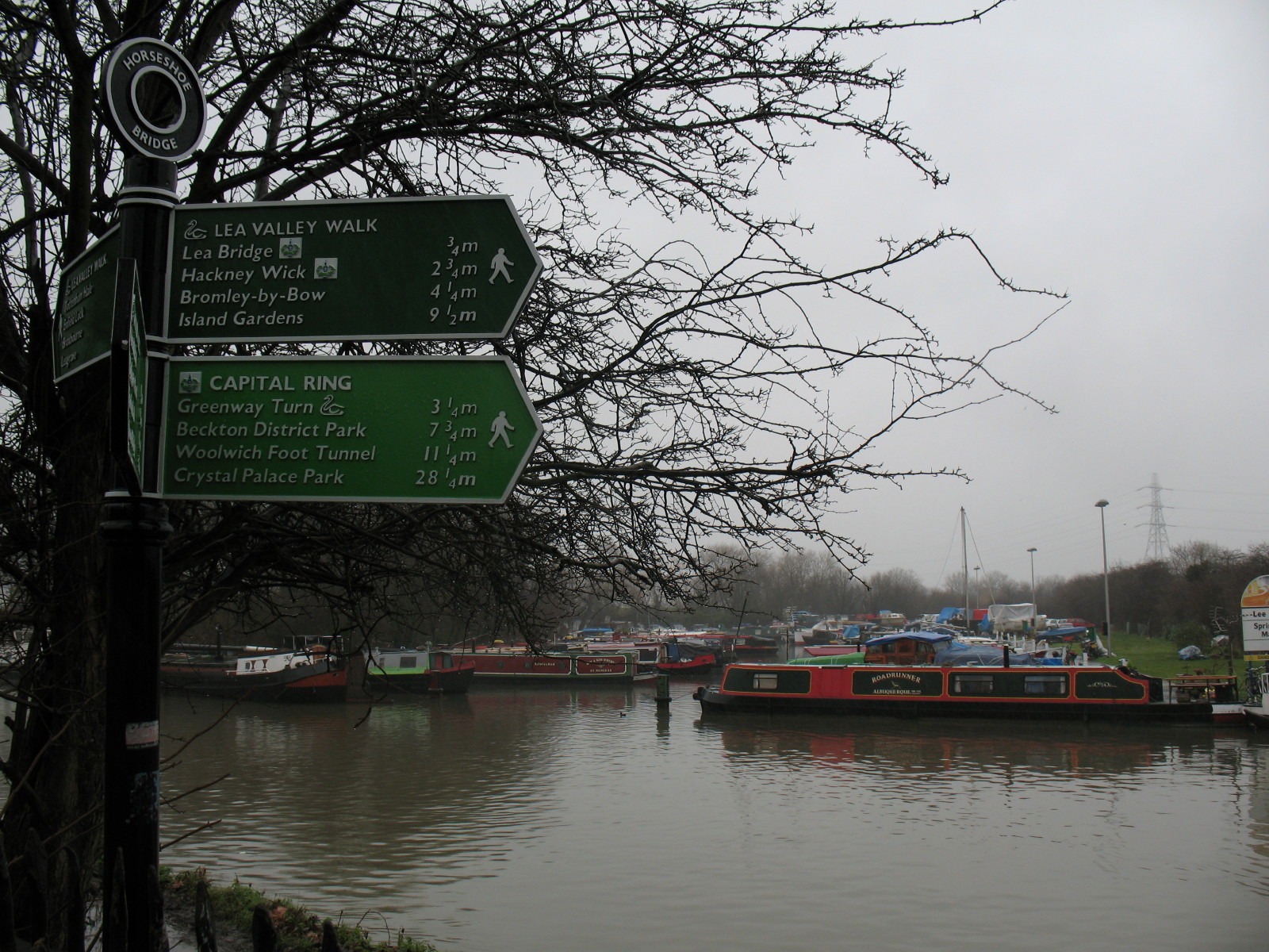
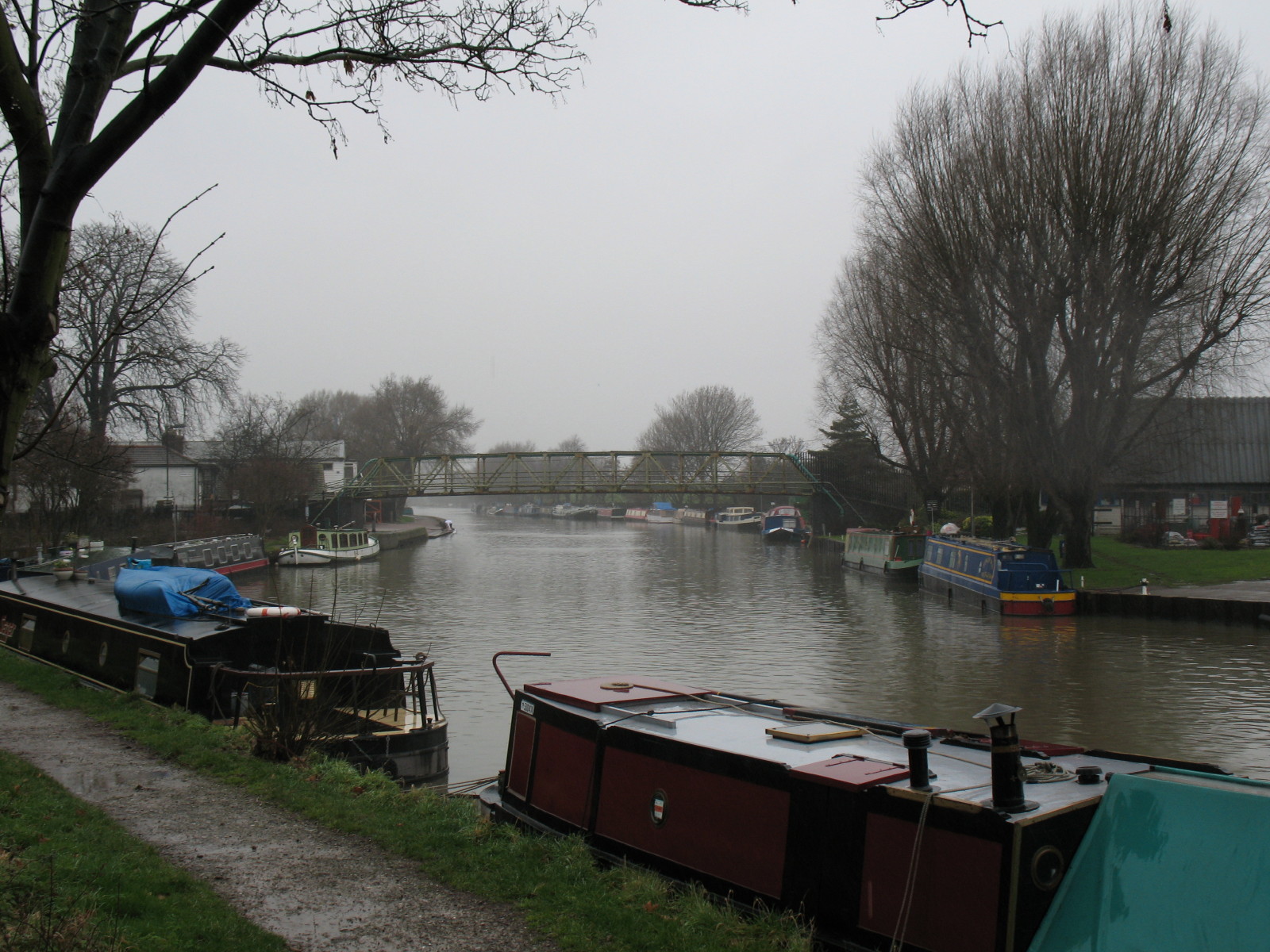
At the bottom of the park we reached the River Lee Navigation

The sign shows that we have reached the Lea Valley Walk.
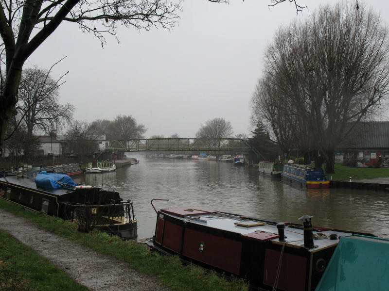
While one day the route lies across the navigation and southwards along
the Capital Ring and Lea Valley Walk, today we walk north for a short
while to reach our lift home.
My new waterproof coat passed its first test with
flying colours - lots of ingenious pockets too.
Zoom in for more detail, or see map in larger window: Ordnance Survey |
Open Street Map |
Google Maps
Total distance: 7.9 km [including station links and 7.0 km on the
Capital Ring] with 81 metres of ascent in
1 hours 45 minutes.
|