Capital Ring: South Kenton to Finsbury Park
2 February 2008
On a frosty and sunny Candlemas, we set off from South Kenton
Tube station and after some suburban walking through streets and a small park,
pass Preston Road station, and eventually into Fryent Country Park.
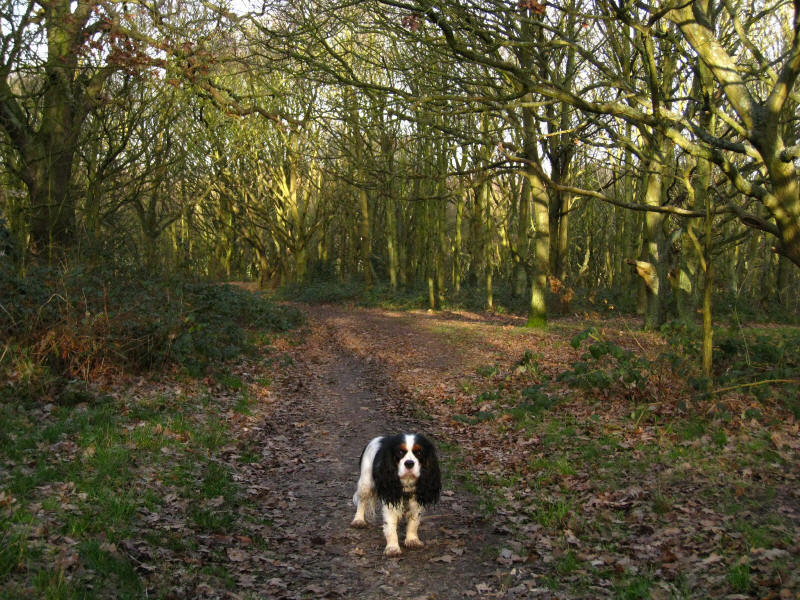
Ellie on a path which is easier to walk on that it looks as it is
largely frozen, though the bits in the densest forest, being warmest,
were still muddy.

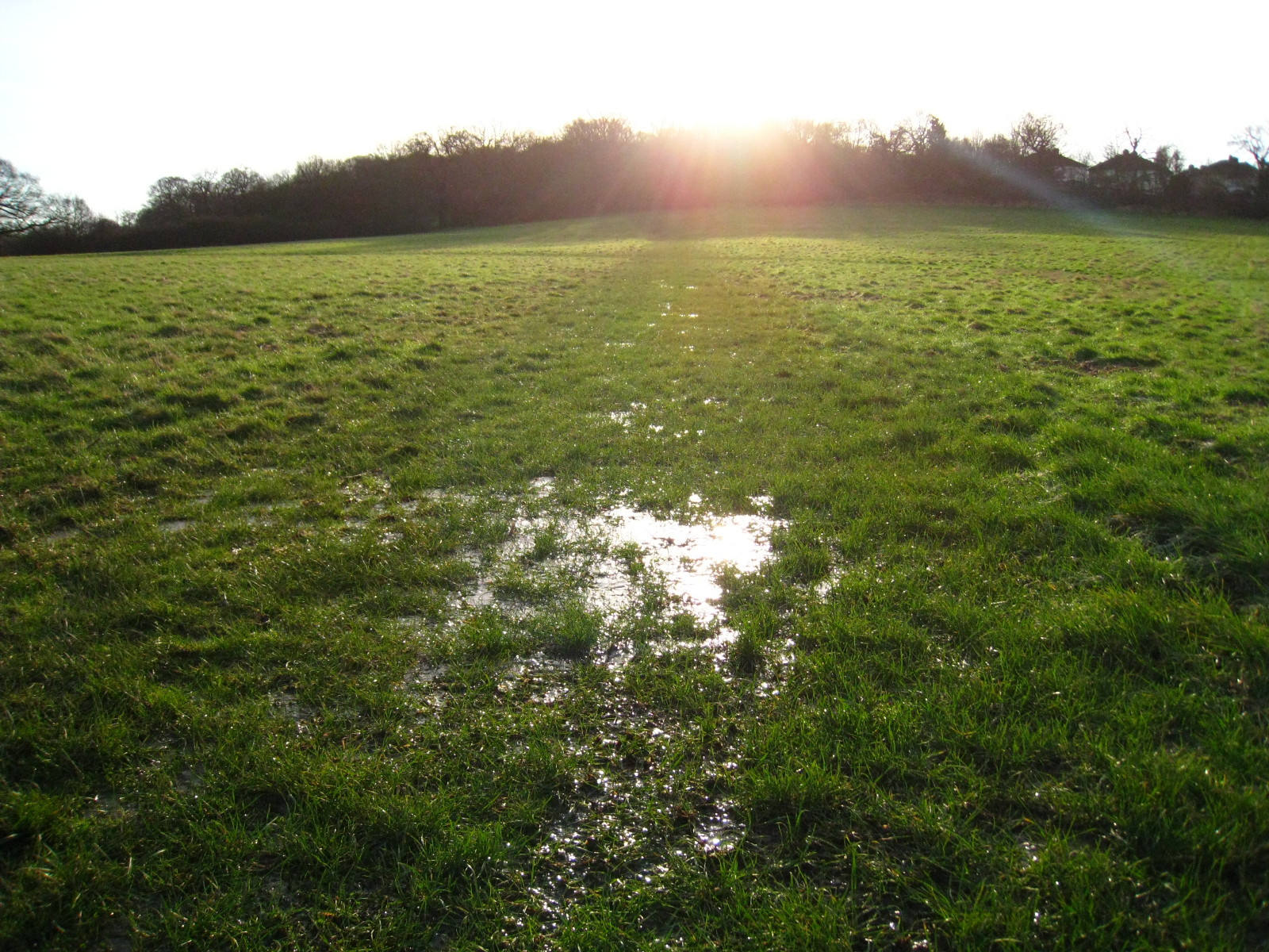
We walked alongside the Jubilee Line for a short way, then turned right
up Barn Hill. This watery path which would have made for a very mushy
walk was frozen solid.

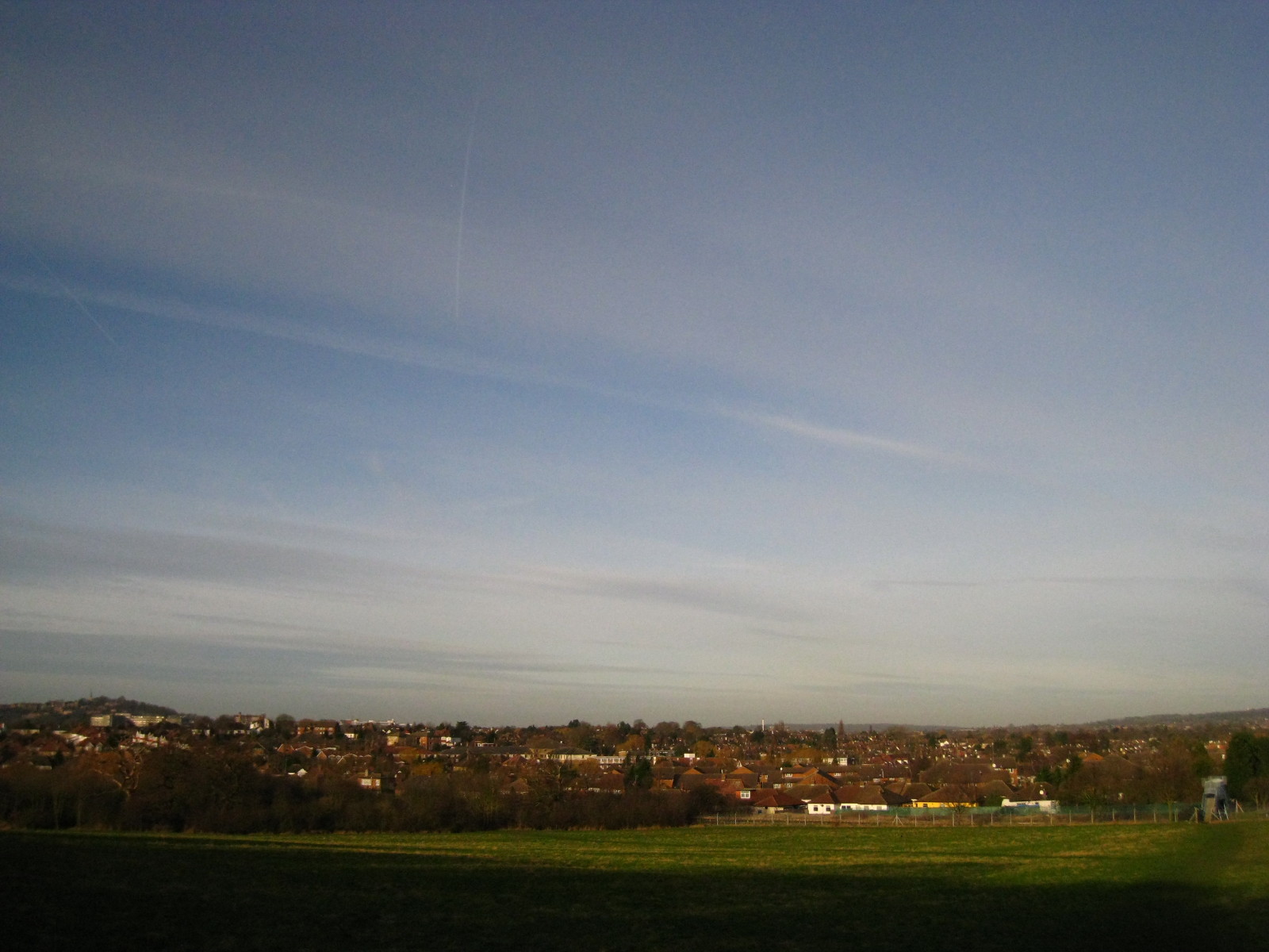
As we climb away from the Jubilee Line, a look back to the west: Harrow
on the Hill which we recently went through on the Capital Ring is on the
left of picture.
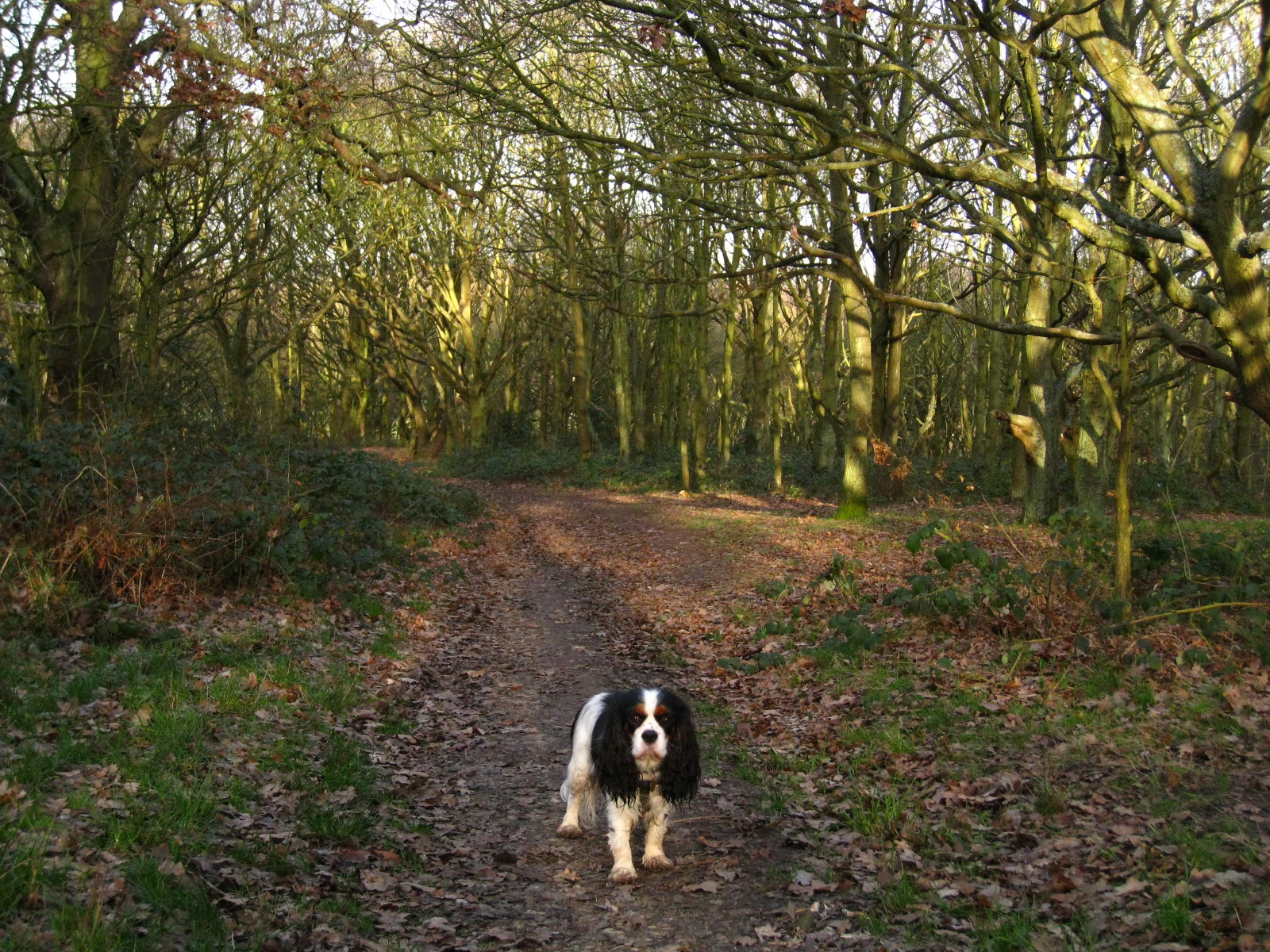
Ellie as we climb through the woods on Barn Hill
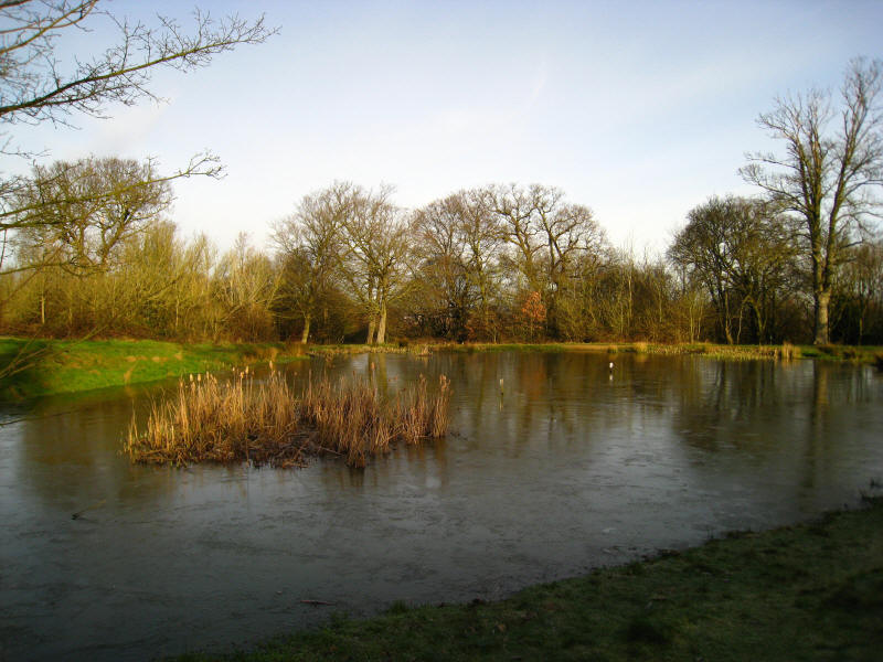
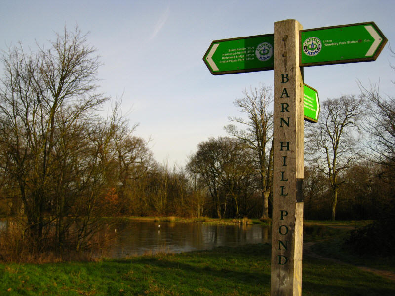
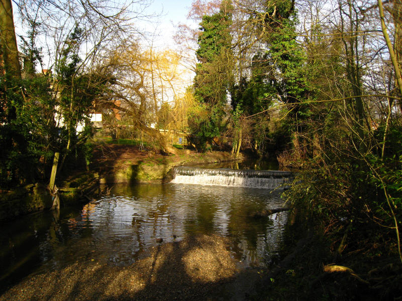
Barn Hill Pond, next to the summit

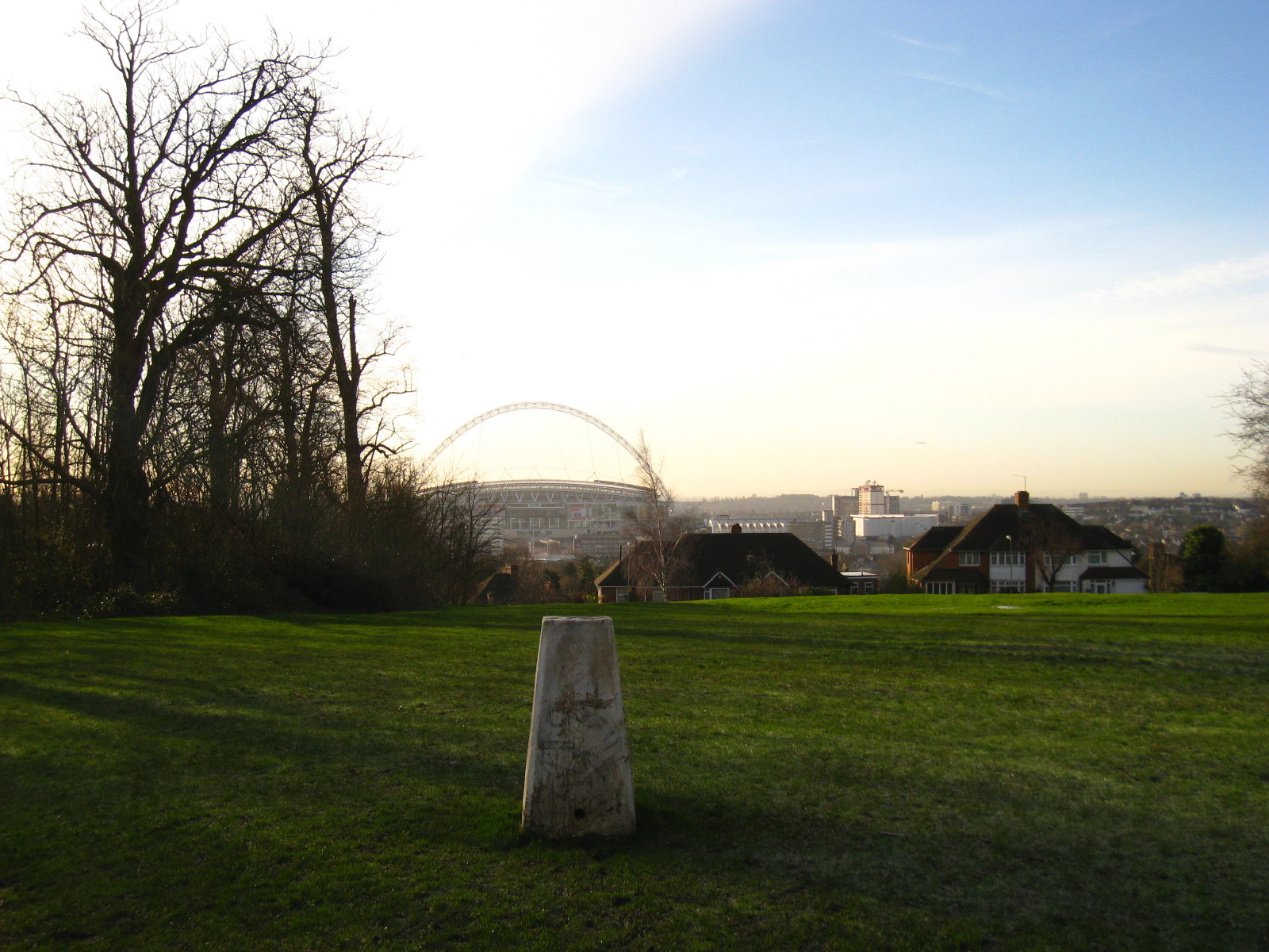
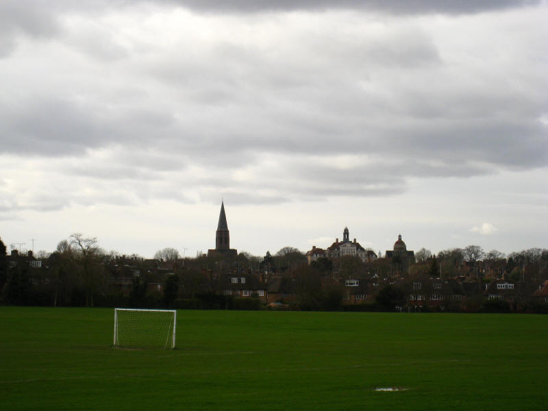
The trig point and Wembley Stadium on the summit of Barn Hill
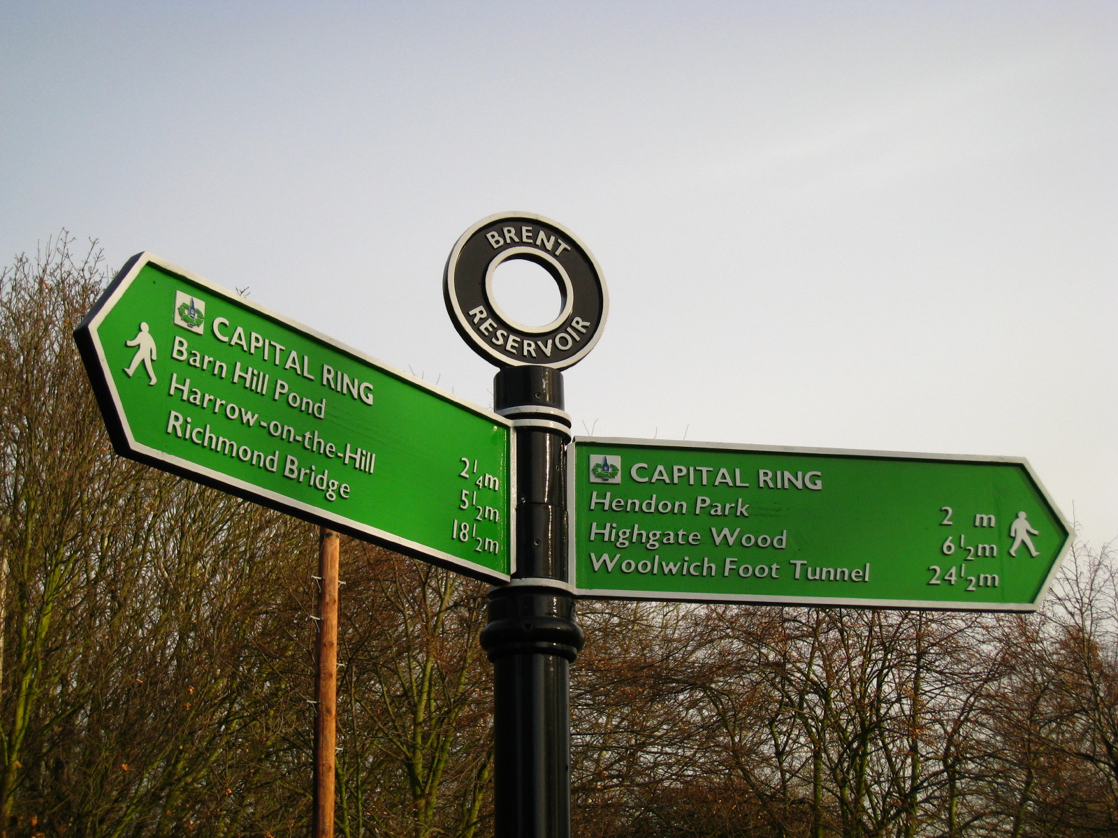
A beautiful spot. It is now 33.75 miles since
Crystal Palace
Park and 26.75 miles to
Woolwich Foot Tunnel

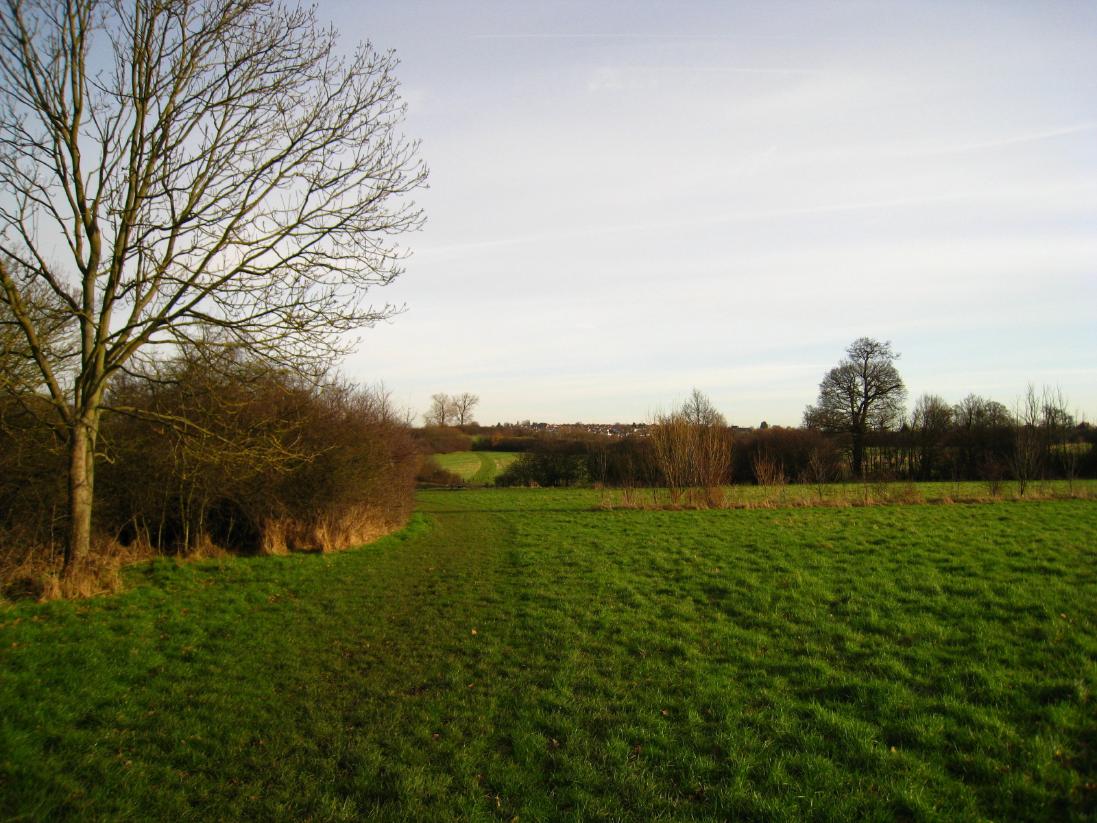
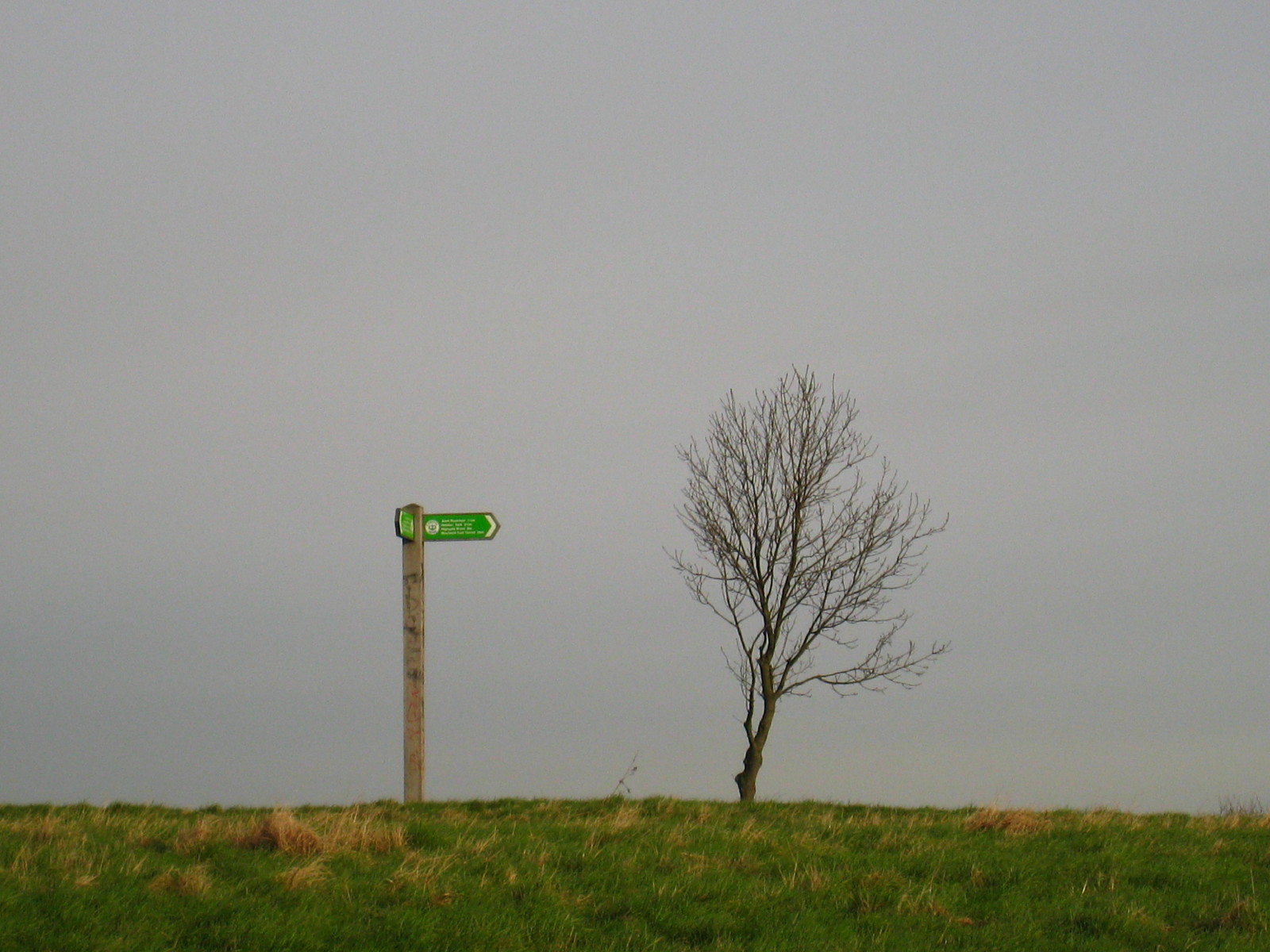
After crossing Fryent Way, the route continues through more of Fryent
Country Park
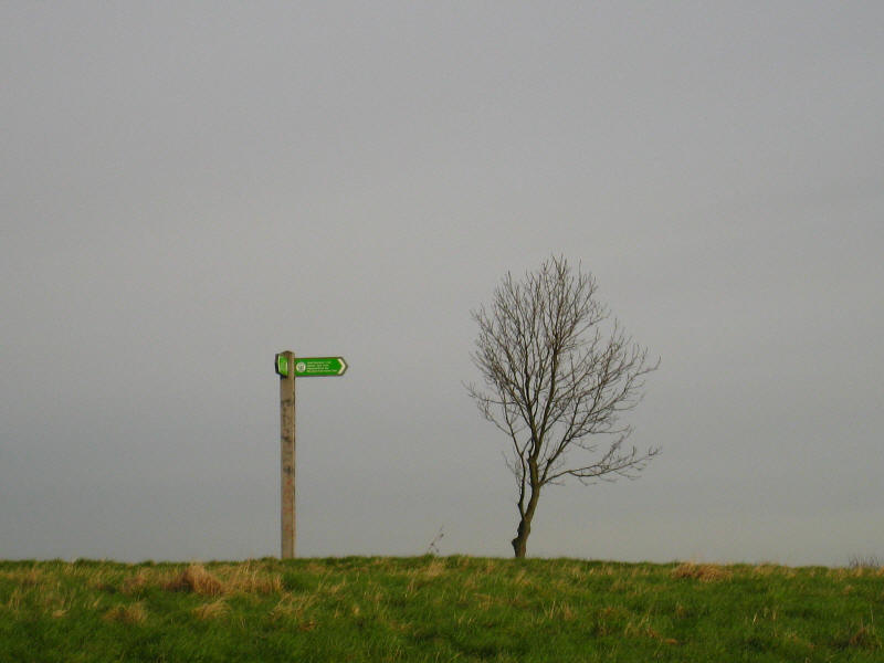
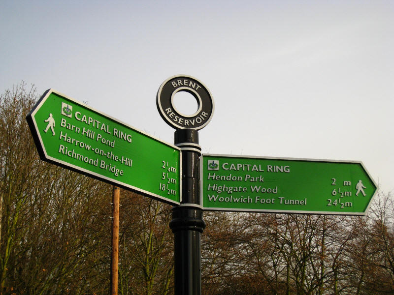
Another Capital Ring signpost and a tree on top of another hill in
Fryent Country Park.

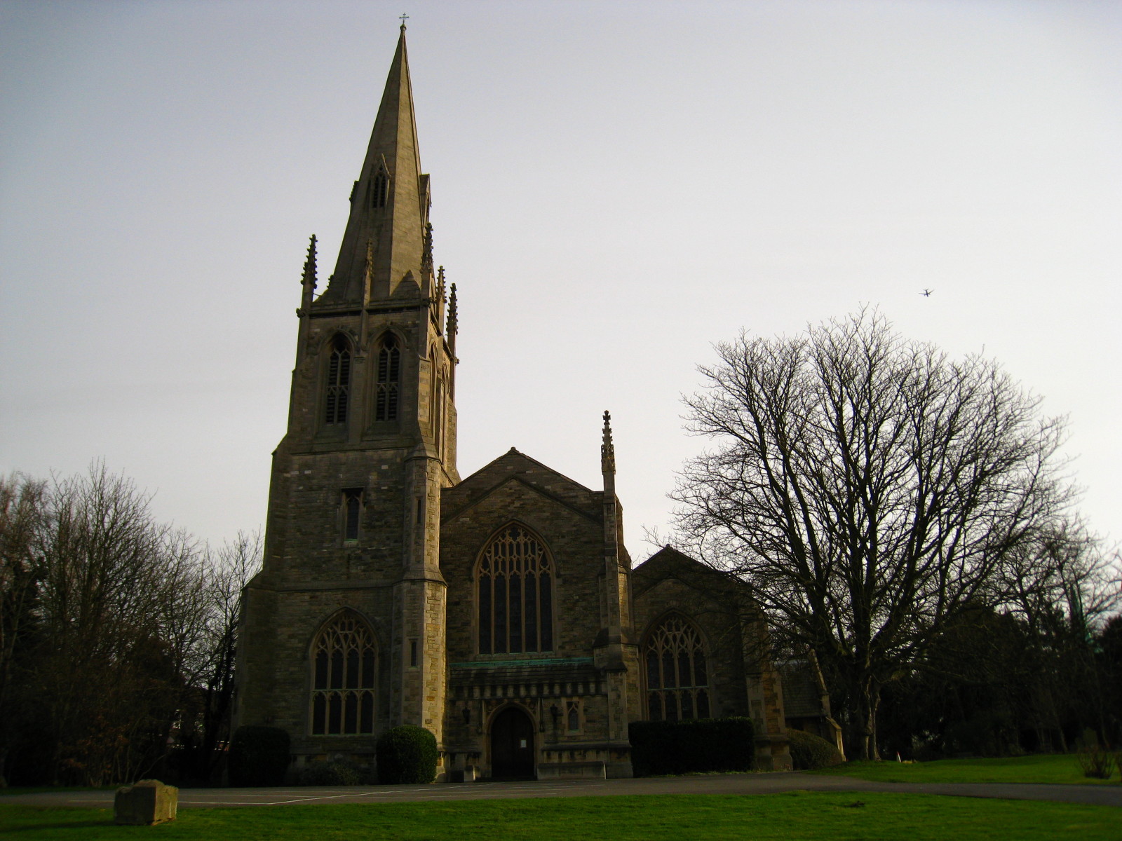
From there a slightly confusing route takes us onto suburban roads and
to Kingsbury. Here we find "new" St Andrew's Church: originally built in
1847 in Marylebone, it later became redundant and in 1931 was moved here
and built next to the old St Andrew's Church
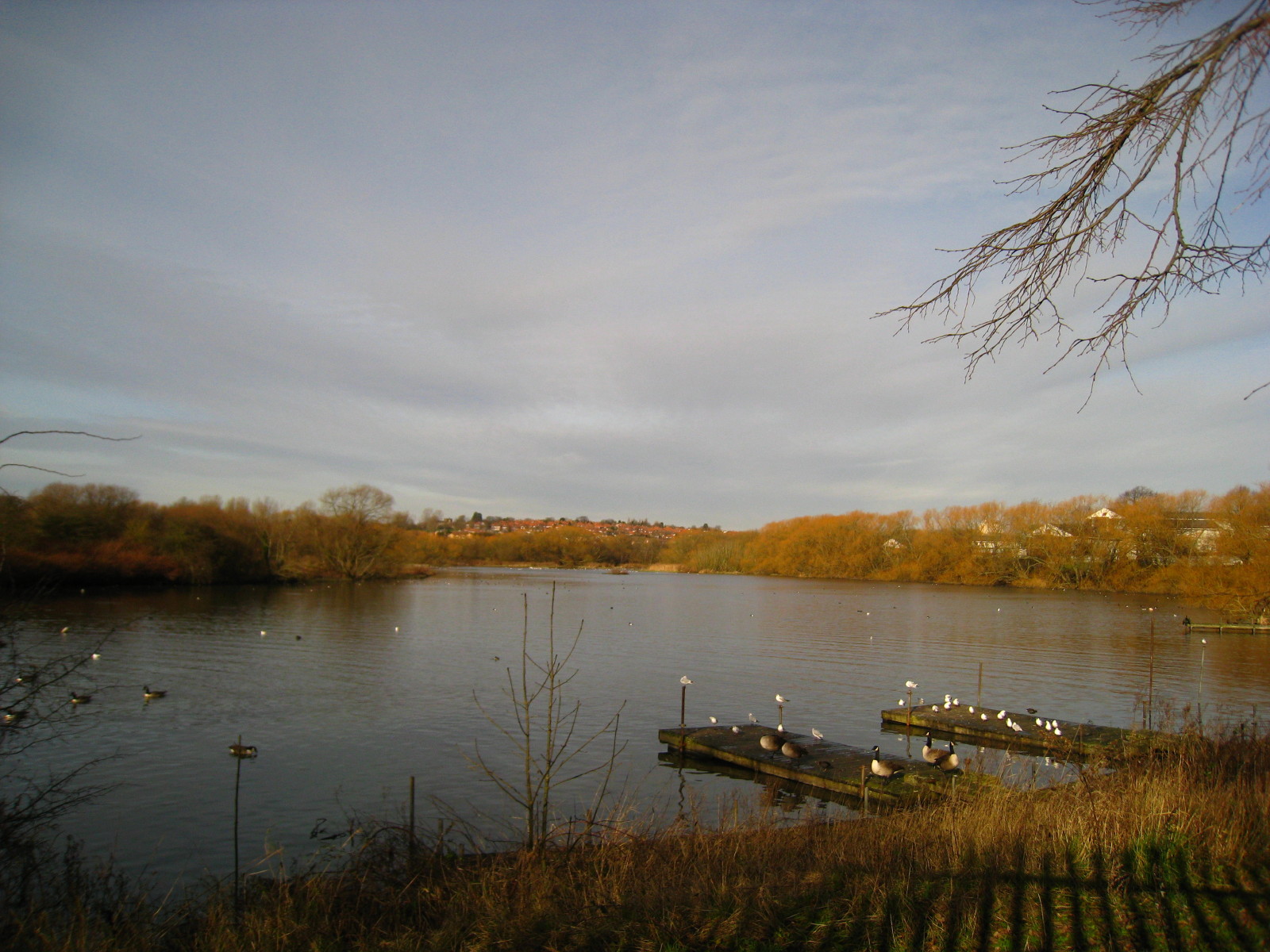
Soon we reach Brent Reservoir, also known as the Welsh Harp. A nearby
pub was originally called The Harp and Horn, and later The Old Welsh
Harp.
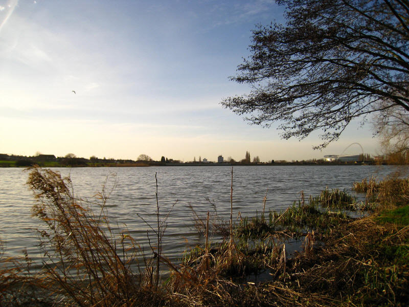
The reservoir was built by the Regent's Canal Company and opened in June
1835 as Kinsbury Reservoir to supply water to the Paddington Arm of the
Grand Junction Canal and thus the Regent's Canal. It was subsequently
enlarged and at its maximum covered 160 hectares, but is now reduced to
45 hectares.

Looking to the northern spur of the reservoir as we walk along Cool Oak
Lane. A narrow bridge crosses the reservoir, and as well as traffic
lights to control the one-way traffic, pedestrians get their own phase
to walk across the bridge and hold up all the traffic.
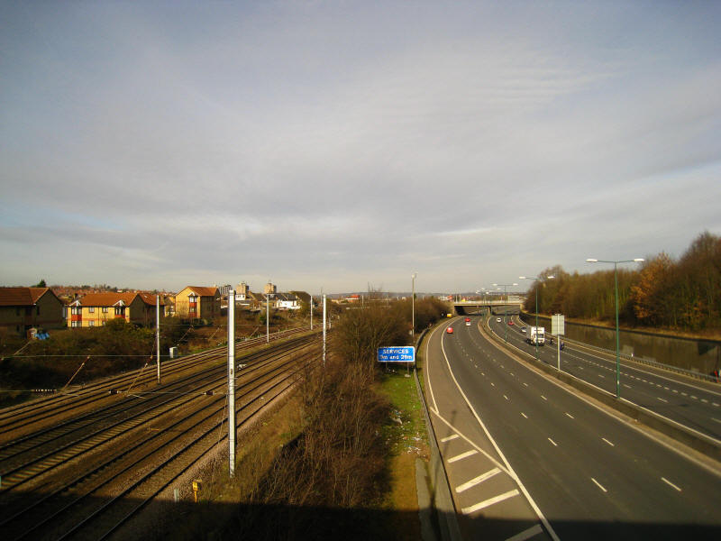
In quick succession we cross the A5, Midland Mainline railway and the M1,
before suburban streets take us north of Brent Cross Shoping Centre

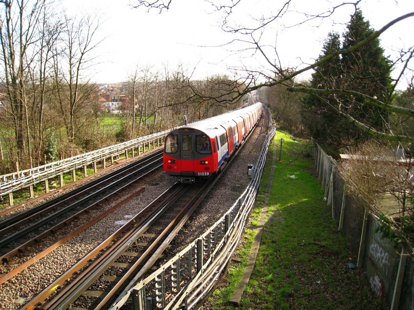
We cross the Edgware Branch of the Northern Line - the driver of the
train whistled to us. I had no idea these modern trains had an
authentic-sounding whistle!
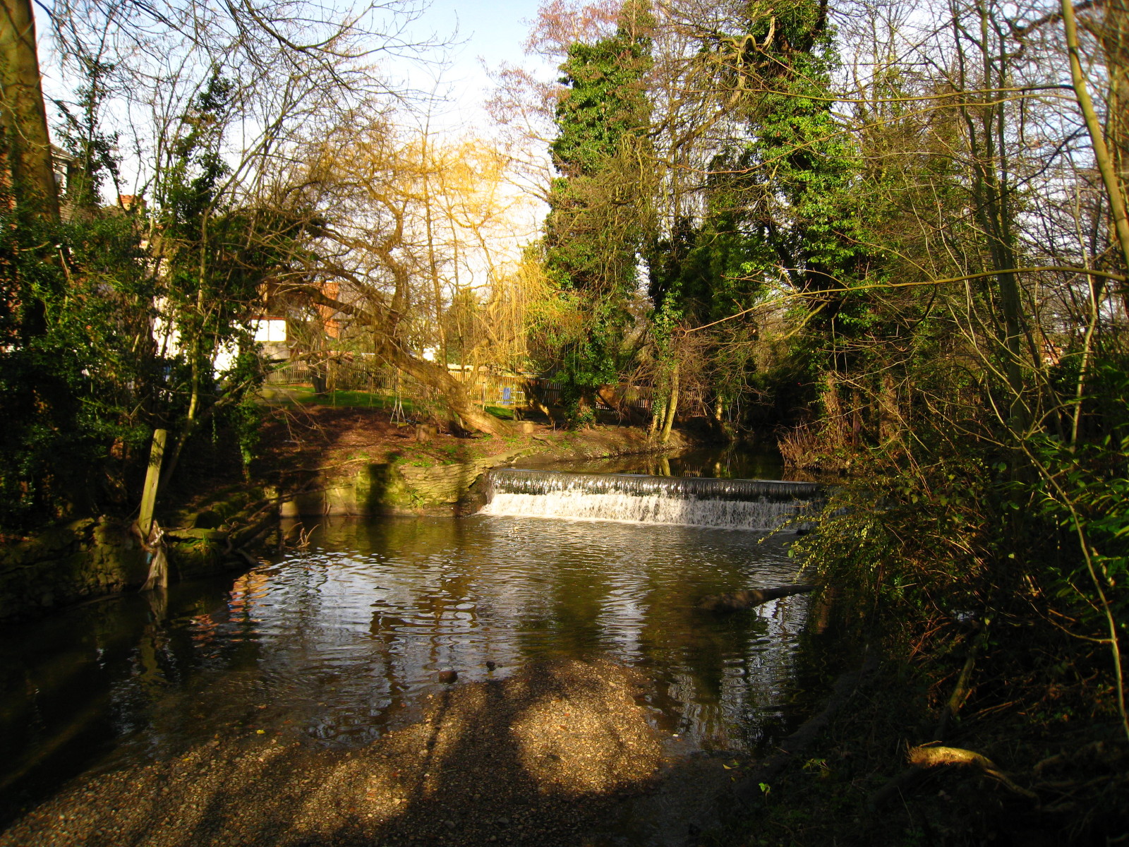
After crossing Hendon Park and a few more streets, we find ourselves by
the River Brent once more, in a surprisingly pleasant narrow strip of
green, sandwiched between housing and the North Circular Road (said to
be Britain's noisiest road)

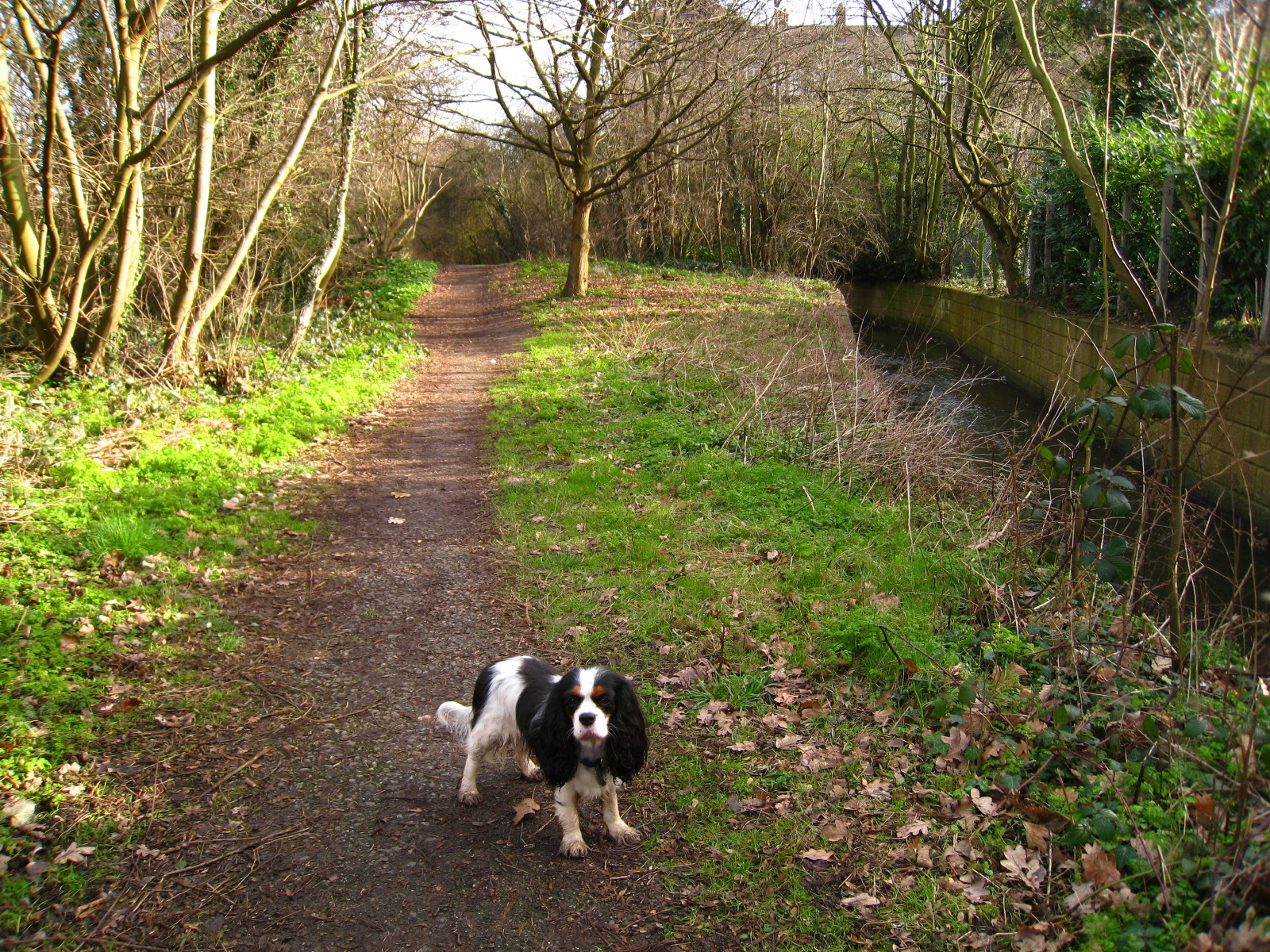
We cross under the North Circular and follow Dollis Brook along another
green strip.

Ellie by Dollis Brook
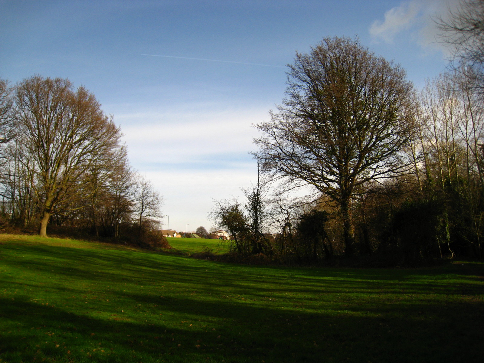
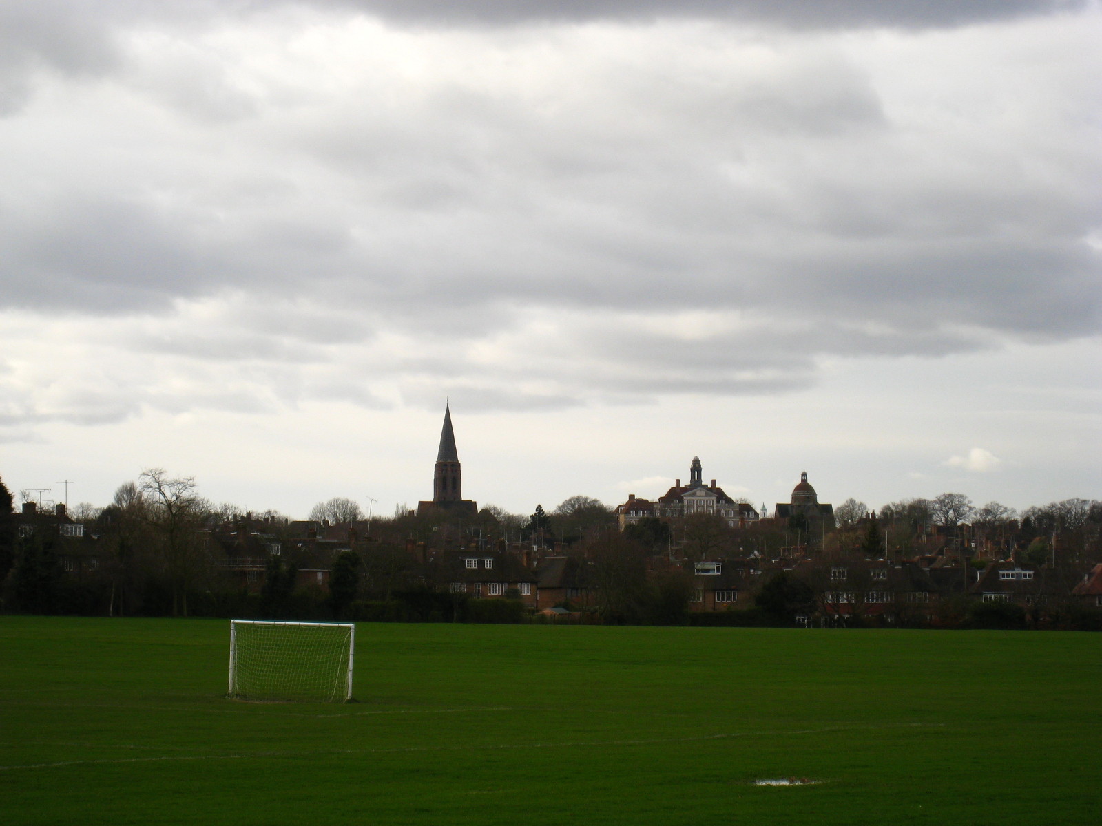
From Lyttleton Playing Fields, looking back to Hamstead Garden Suburb
We have a bit more street walking before passing through East Finchley
Underground station as the easiest way of crossing the railway, and then
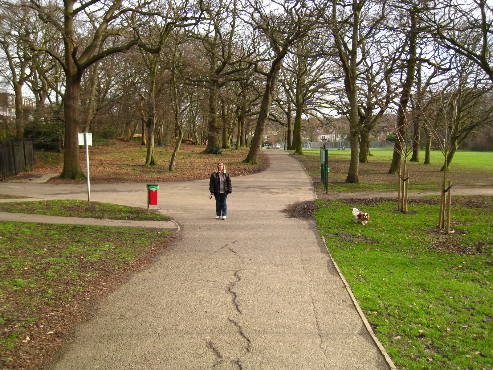
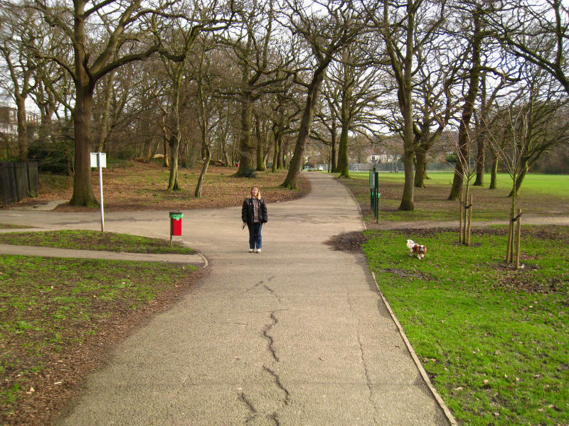
enter Cherry Tree Wood park, where we find Lucy and Henry waiting for
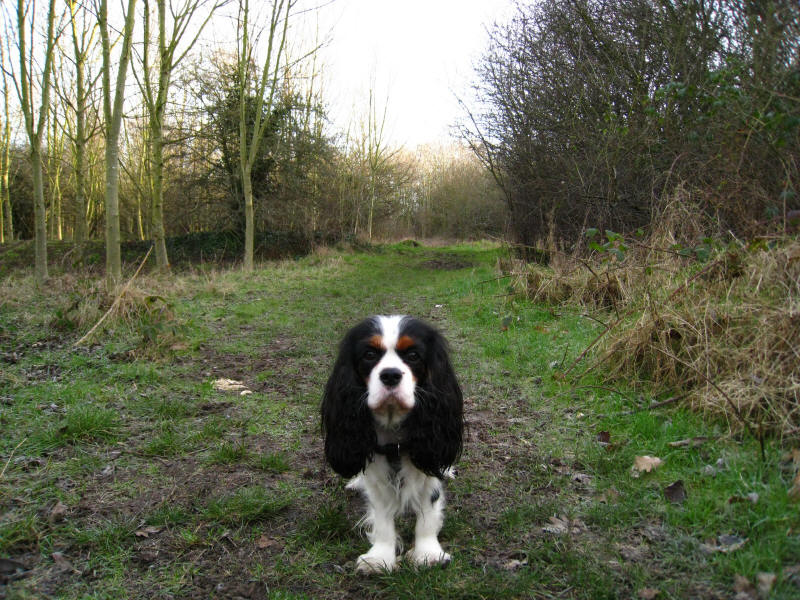
us. Here I swapped dogs, had a bite to eat, and continued on eastwards.

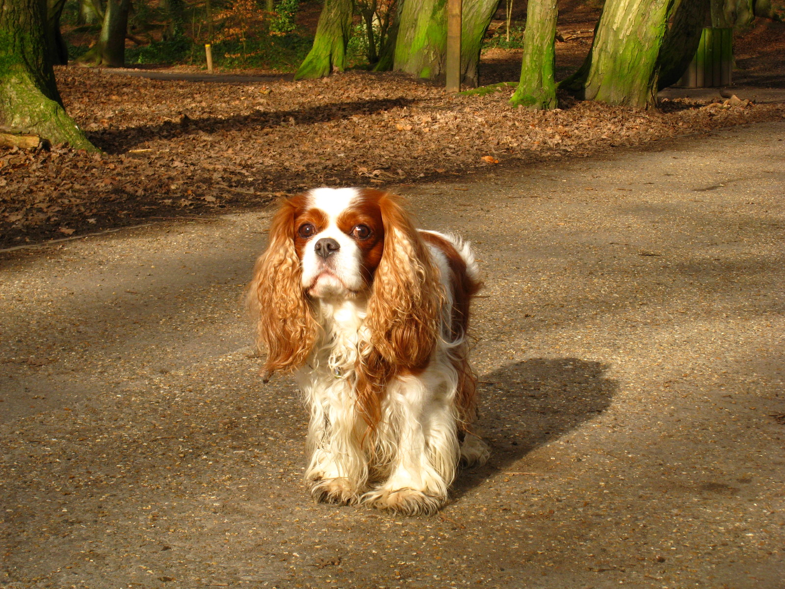
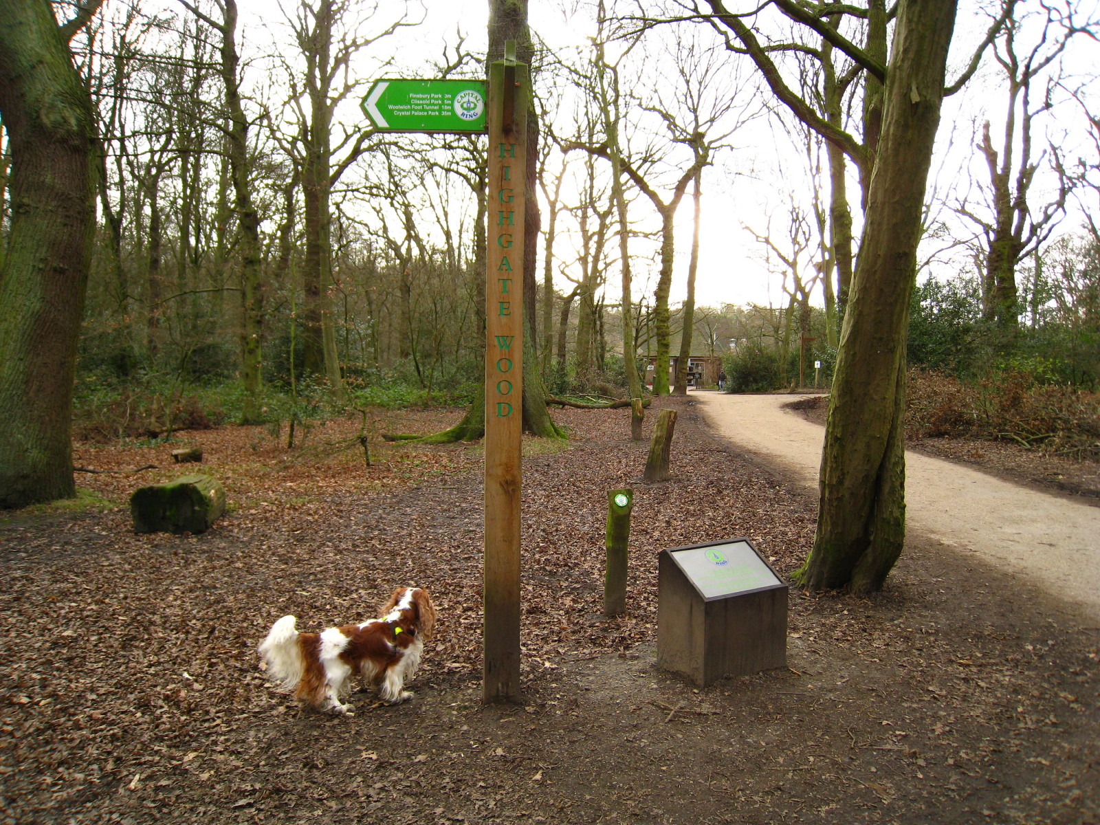
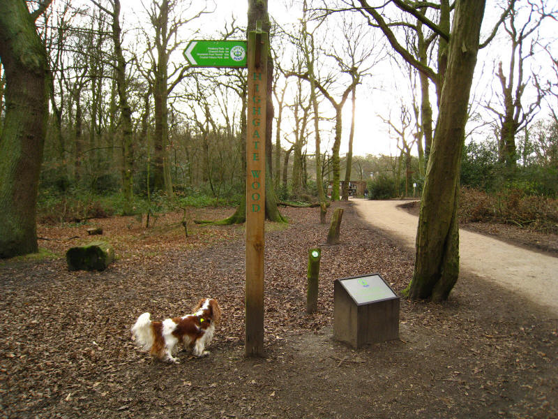
From Cherry Tree Wood we passed through Fortis Green and into Highgate
Wood, where Henry is looking very elegant.
Henry ponders a visit to the café as we pause by the
plaque marking the opening of the Capital Ring on 21 September 2005.

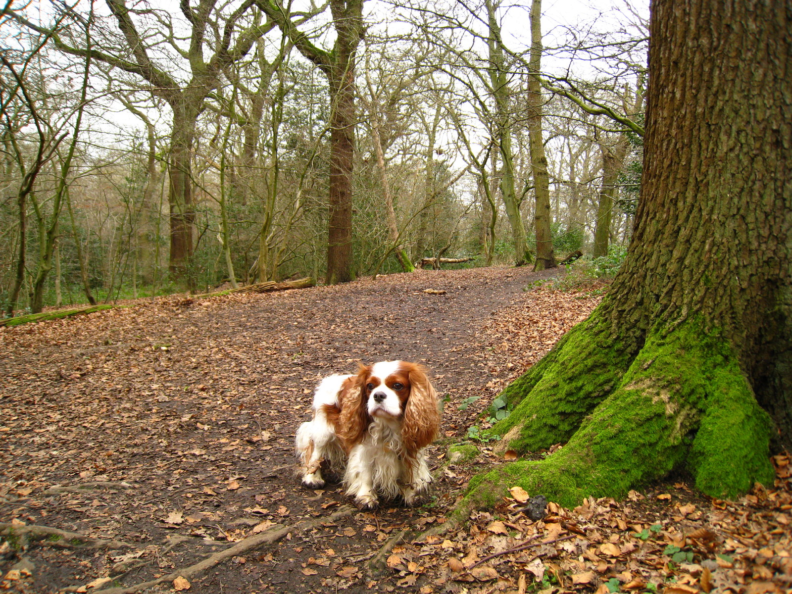
From Highgate Wood we cross Queen's Wood Road and then continue our
delightful woodland perambulation through Queen's Wood

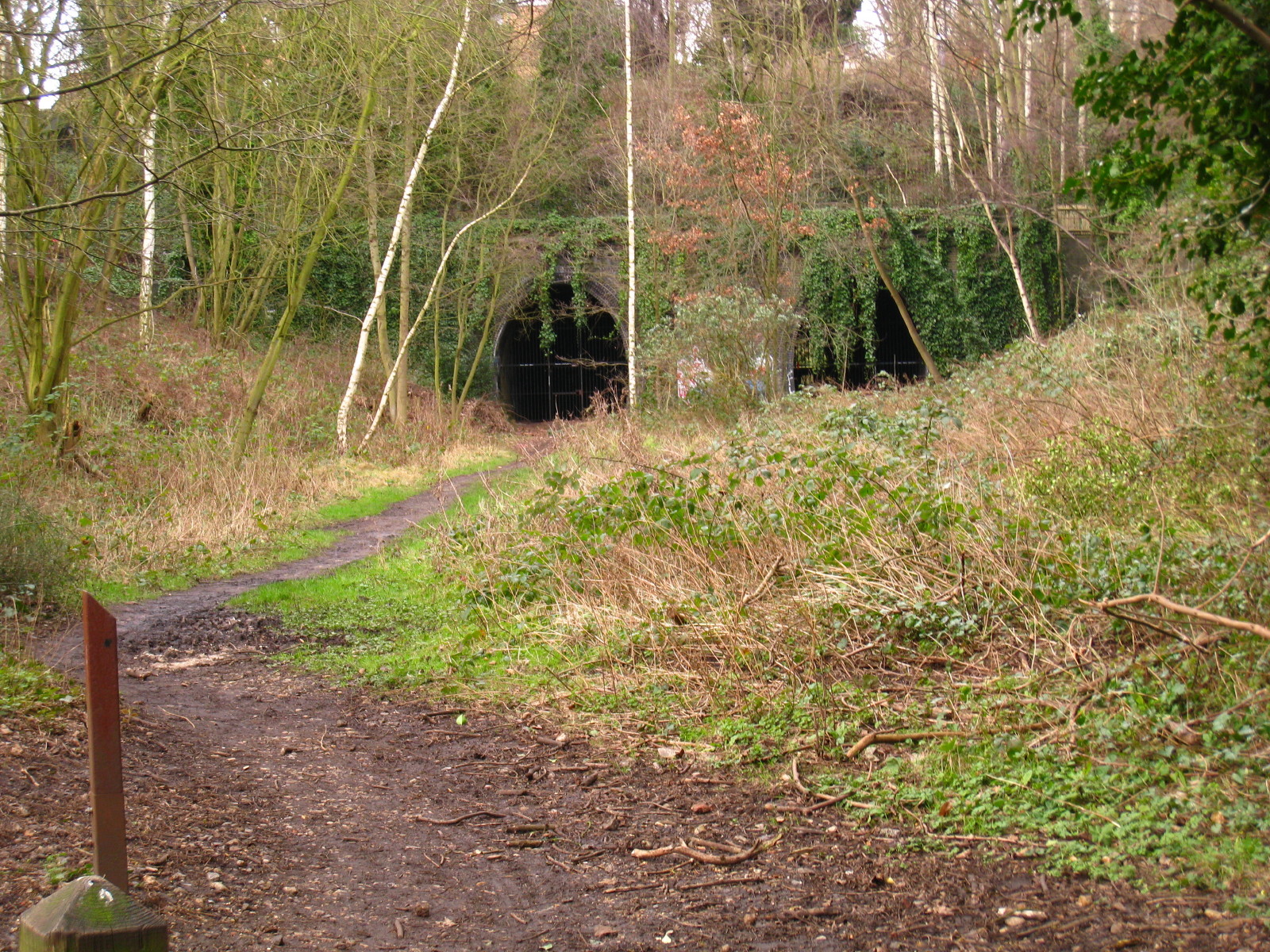
The Capital Ring has joined forces with the Parkland Walk, and they now
both take to the trackbed of what was a branch of the Great Northern
Railway, opened in 1867 from Finsbury Park to Edgware. It was closed to
passengers in 1954 and to goods traffic in 1970. At one point there were
plans to build a motorway along its length, but in 1984 it was opened as
London's longest linear park and now a nature reserve.
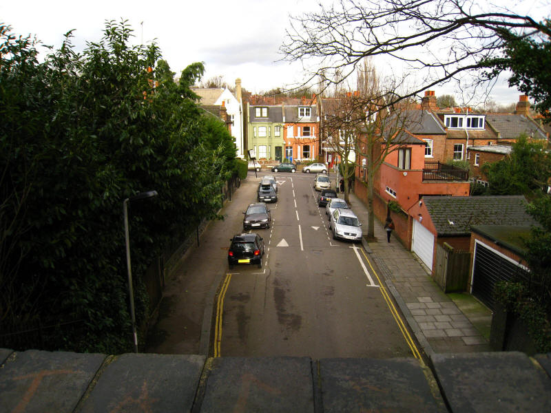
Looking down from one of the bridges into streets

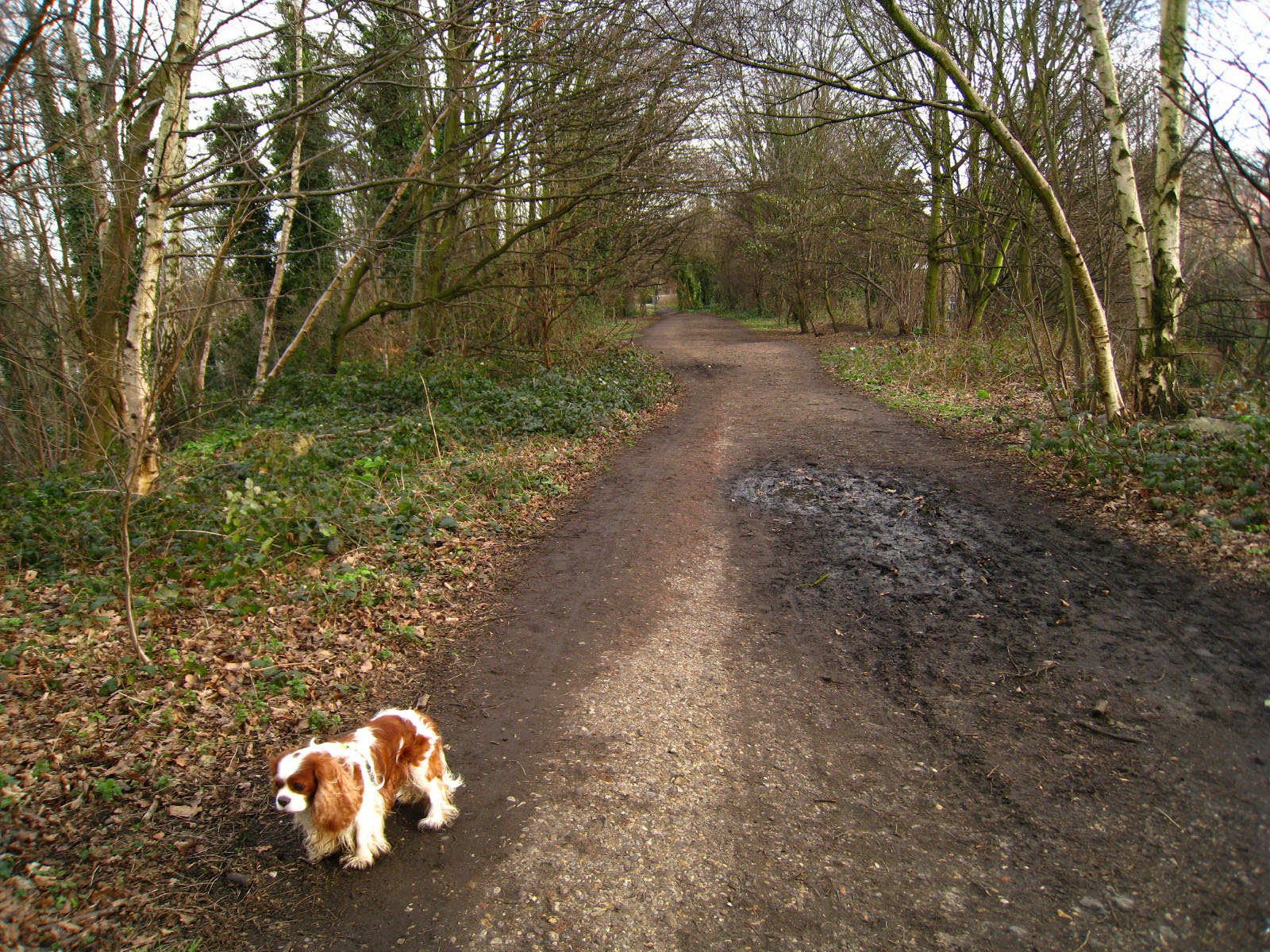
Continuing along the old railway trackbed - rather muddier than this in places,
but never too bad.

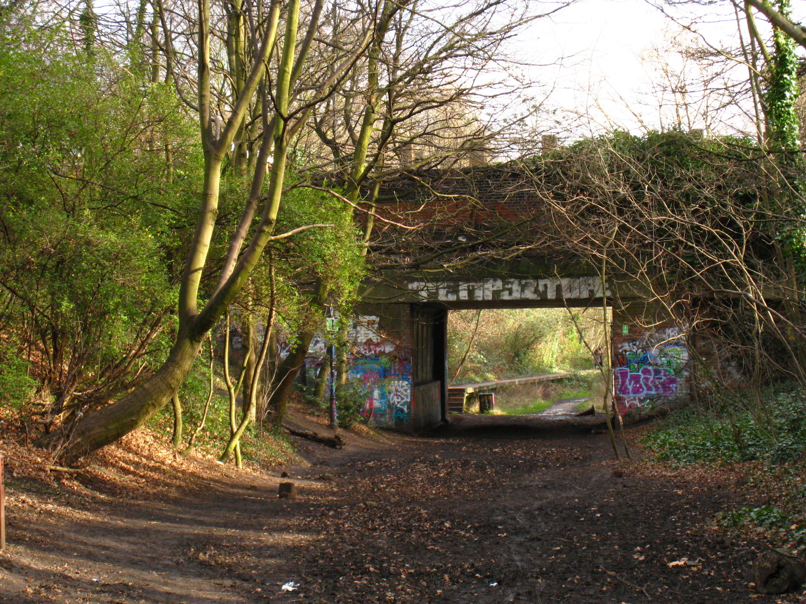
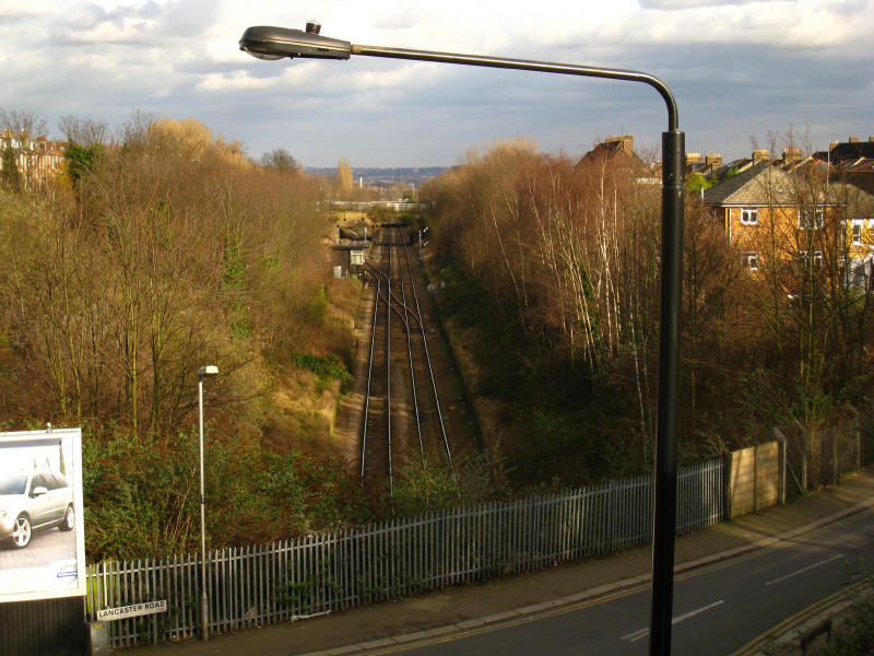
Approaching the bridge which carries Crouch End Hill over the route, and
beyond can be seen the platforms of Crouch End station.

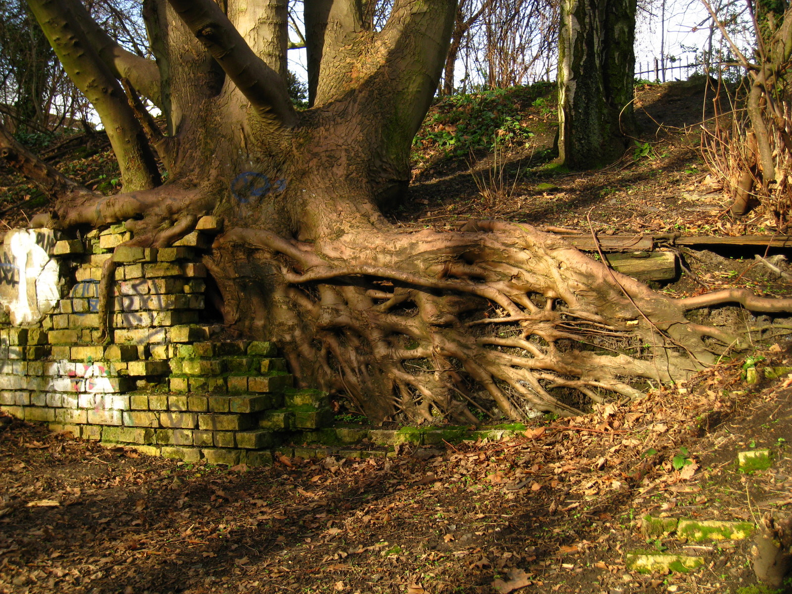
This tree's roots have been severely constrained by the wall, now
partially collapsed.
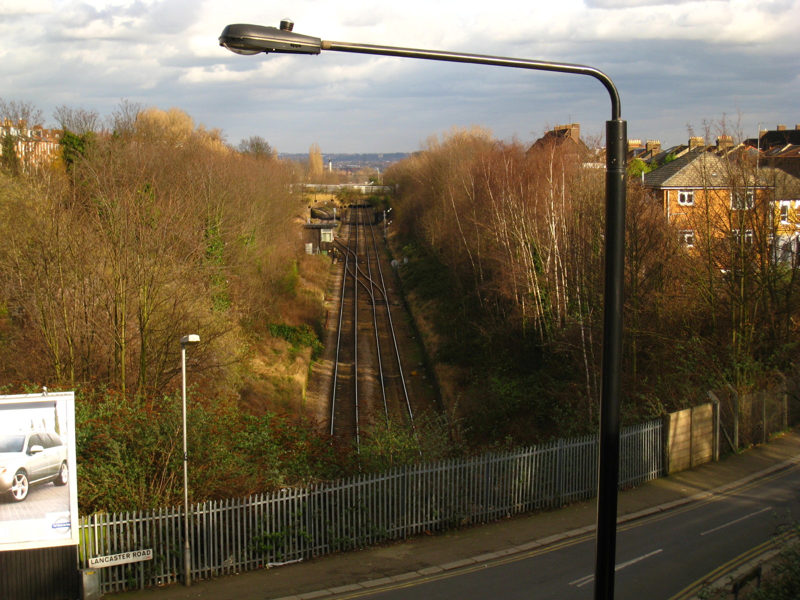
From the bridge over Stapleton Hall Road, we find that we are also
crossing the London Overground line from Gospel Oak to Barking: in the
middle distance can be seen the East Coast Mainline railway, which shows
that our gradually curving route is approaching its eventual junction
with the mainline.
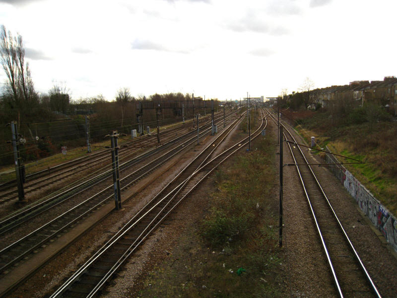
And here is the mainline, looking south to the platforms of Finsbury
Park station. Just on the east side of the line begins the Capital Ring
walk from Finsbury Park to the River Lee, but for today our route lies
south through the park to the station.
A very pleasant walk. Barn Hill open space and the Welsh Harp open space
were surprisingly delightful, and Highgate and Queen's Woods were as
lovely as expected, together with the interesting railway trackbed walk
and a number of other smaller interesting or pleasant spots. Definitely
a better walk than I'd anticipated, which is always the right way round!
Zoom in for more detail, or see map in larger window: Ordnance Survey |
Open Street Map |
Google Maps
Total distance: 22.3 km (including minor diversions and station links - 21.0 km on
the
Capital Ring) in 5 hours 8 minutes with 338 metres of ascent - the hilliest Capital Ring
walk yet.
|