Thames Path - Oxford to Culham
26 January 2008
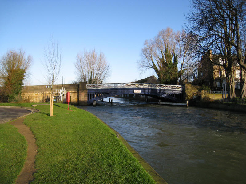
A look back at Osney Bridge in Oxford as we begin another walk along the Thames
Path. The river is high and running very fast

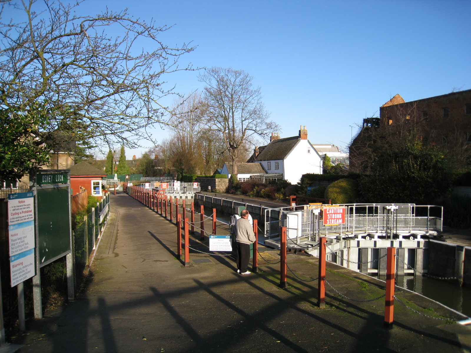
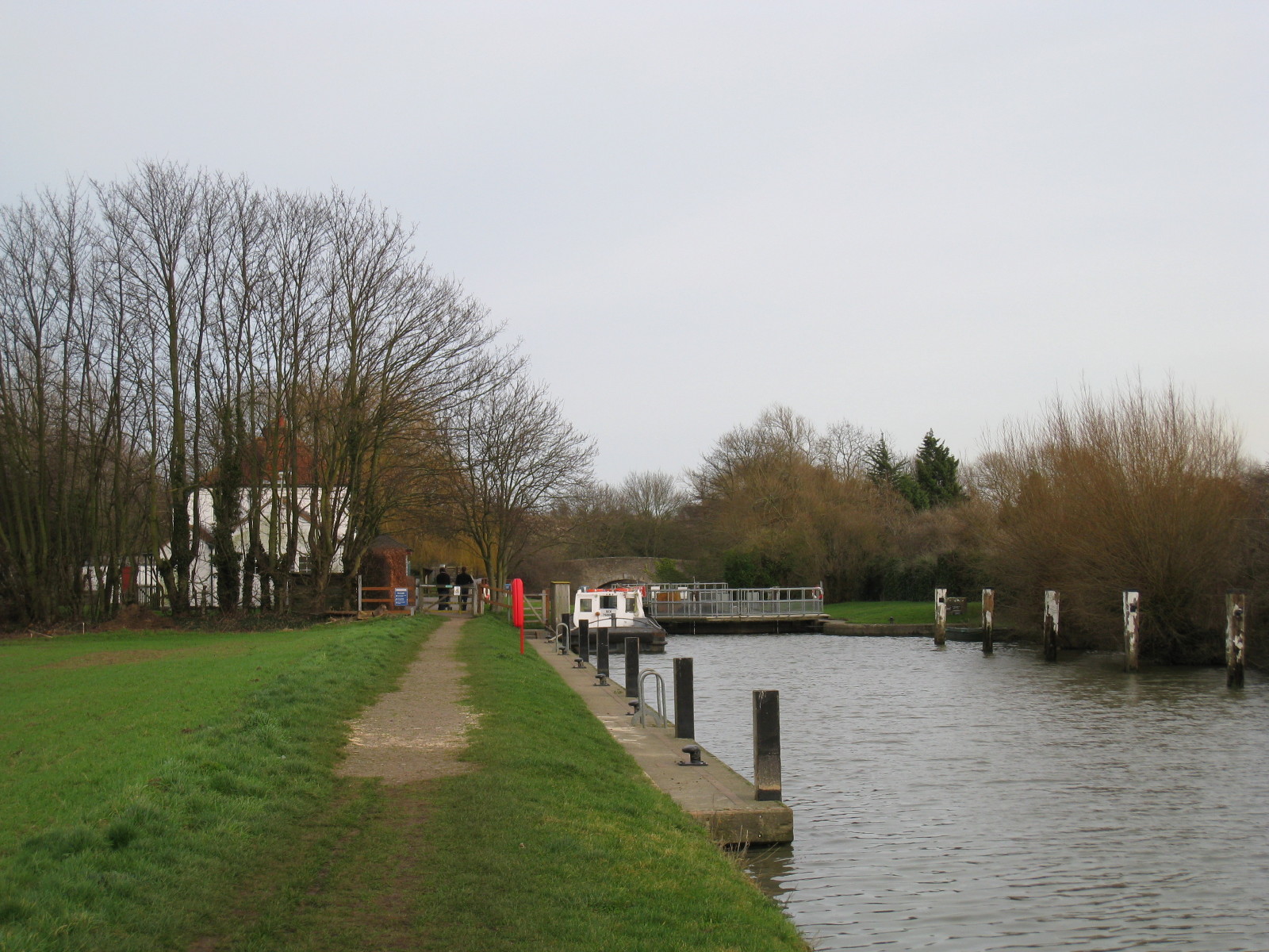
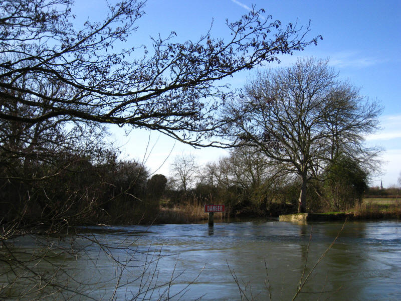
Osney Lock
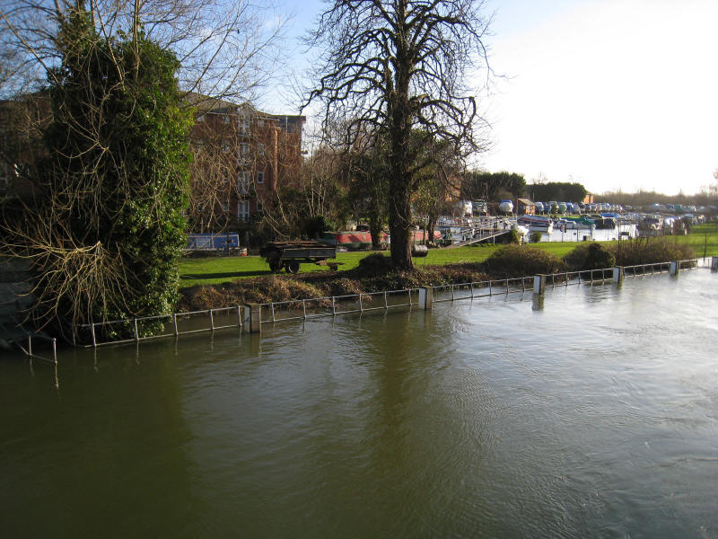
Looking at the landing stage for Osney Lock - or what is visible as most of it
is underwater.
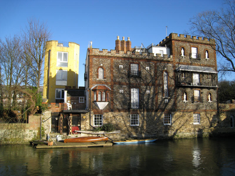
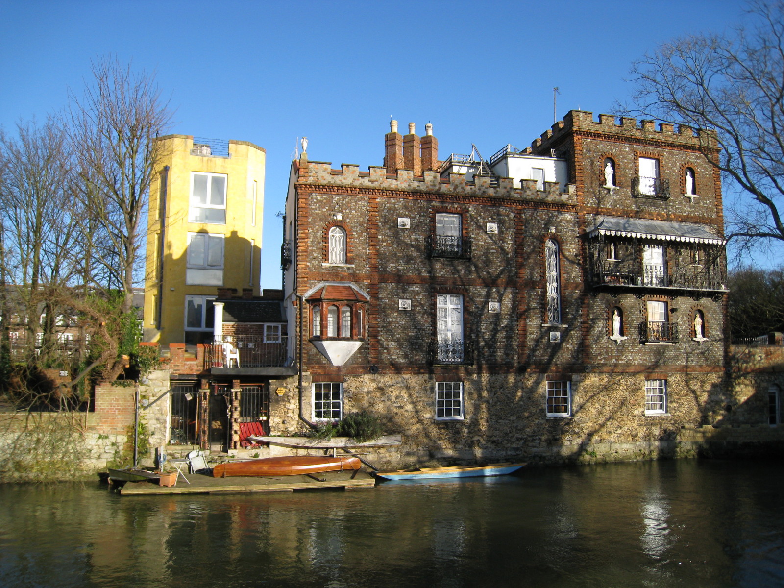
I'm not sure whether this is the folly or not, but in any case it is an
interesting house next to Folly Bridge
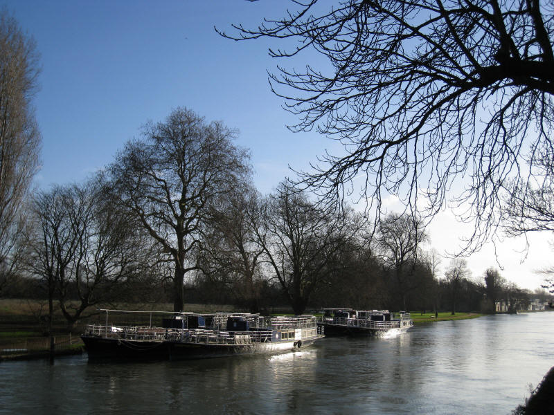
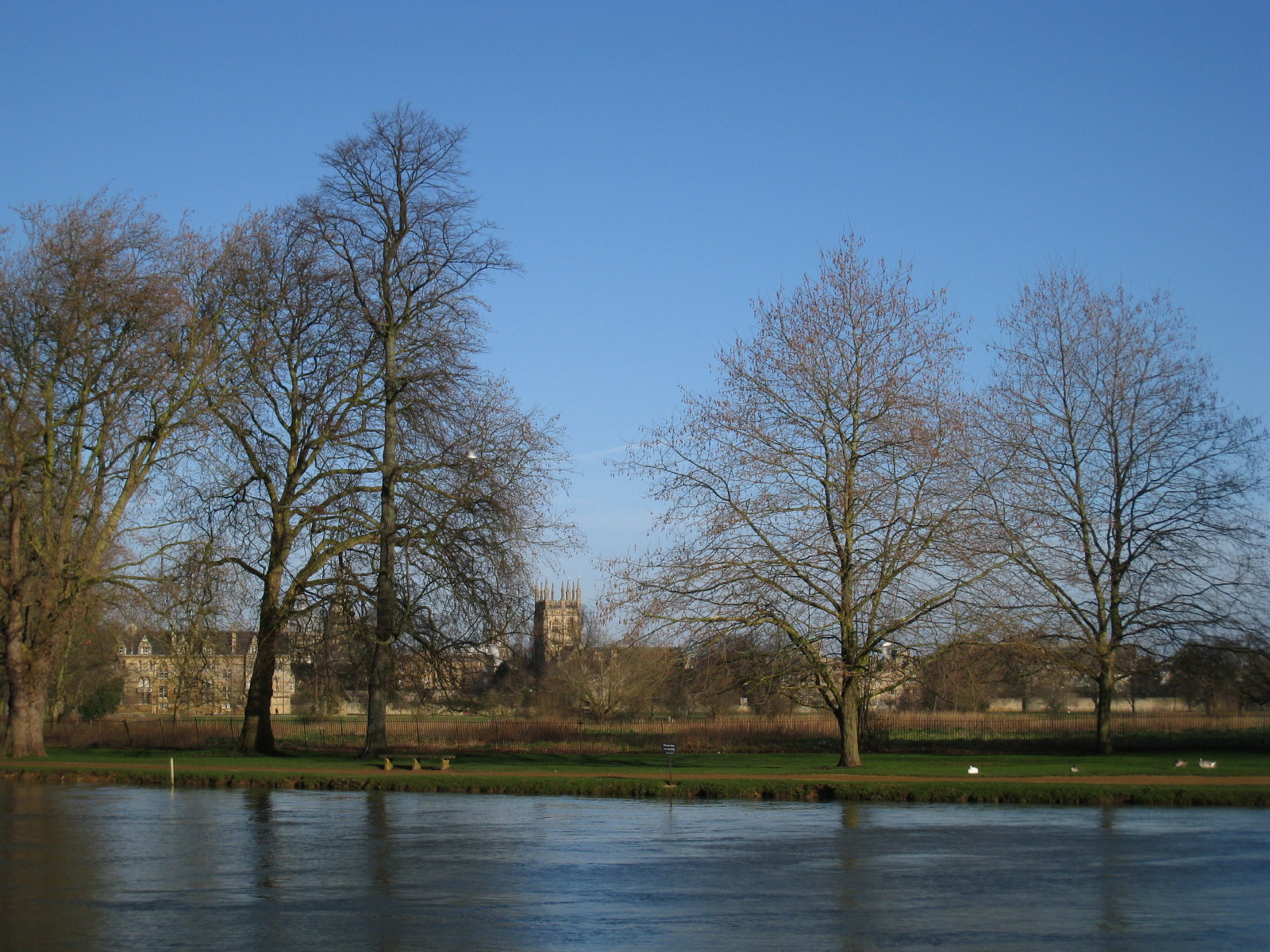
Salter's steamers tied up by Christchurch Meadow

Looking across the river to some of the colleges. The Thames does rather skirt
Oxford, and there is little of the city to be seen from the waterside.
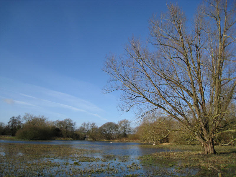
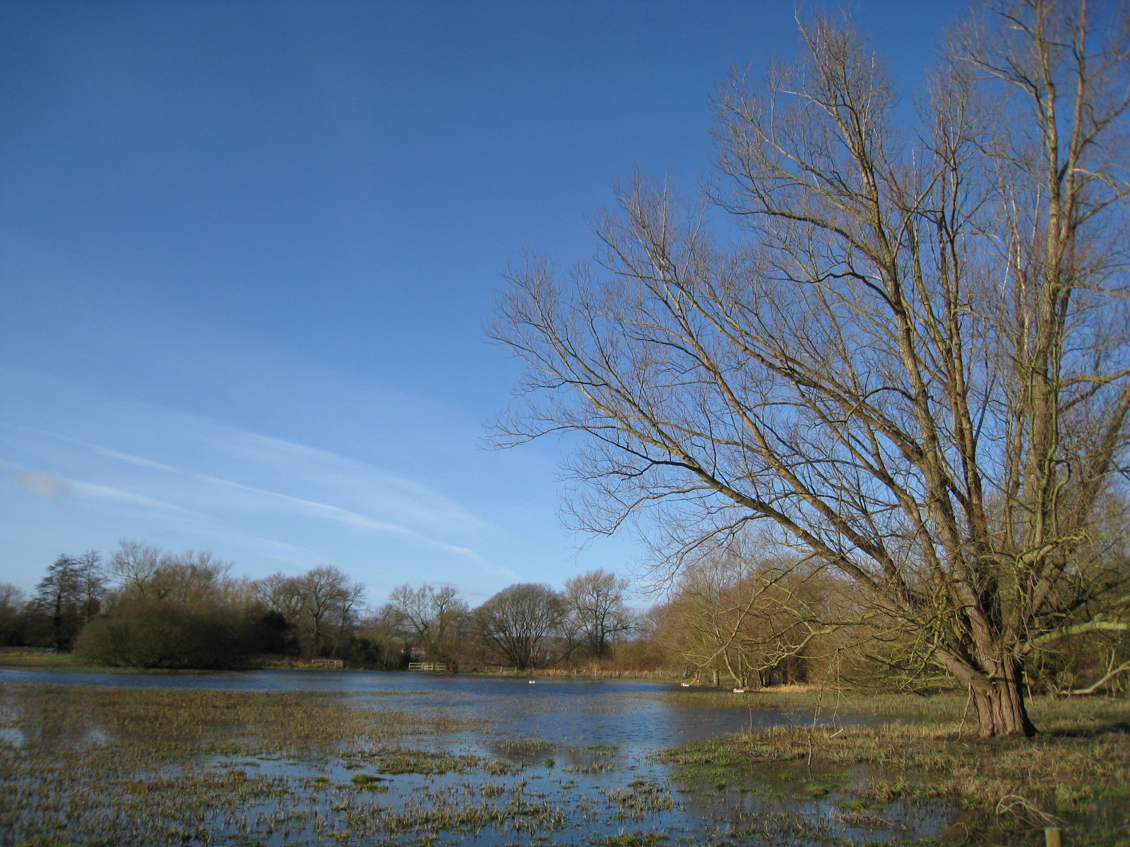
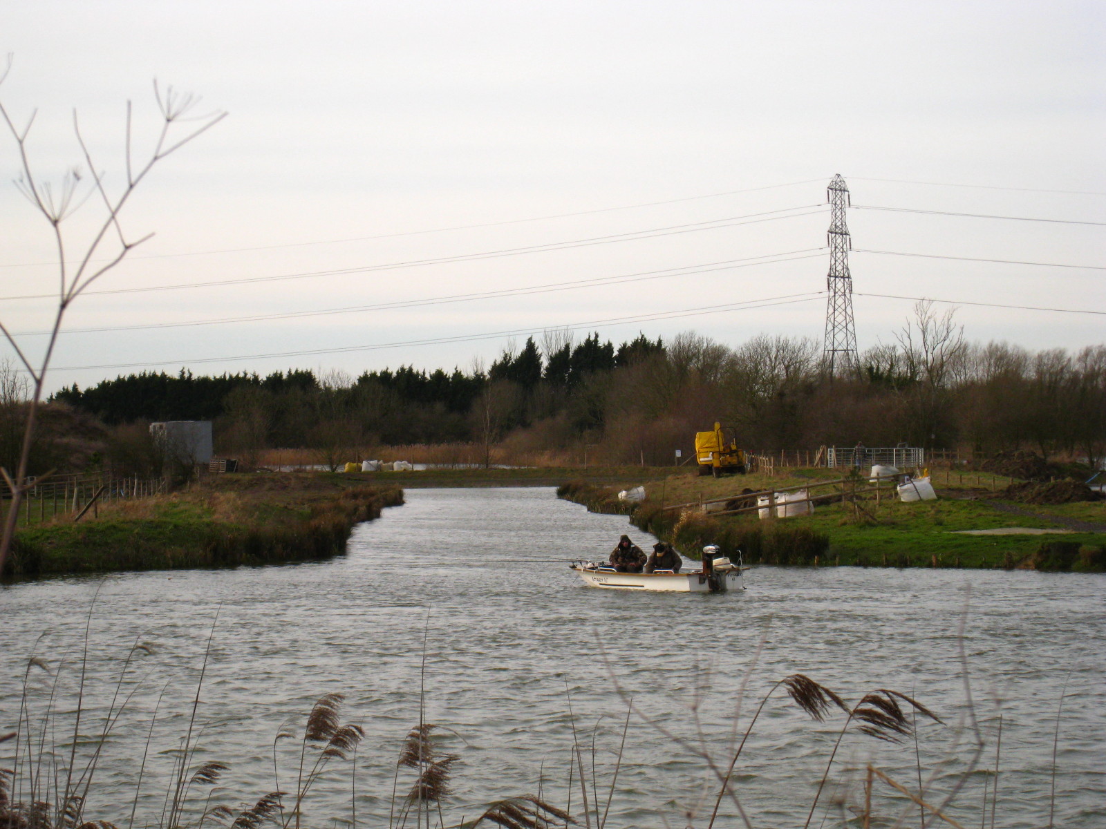
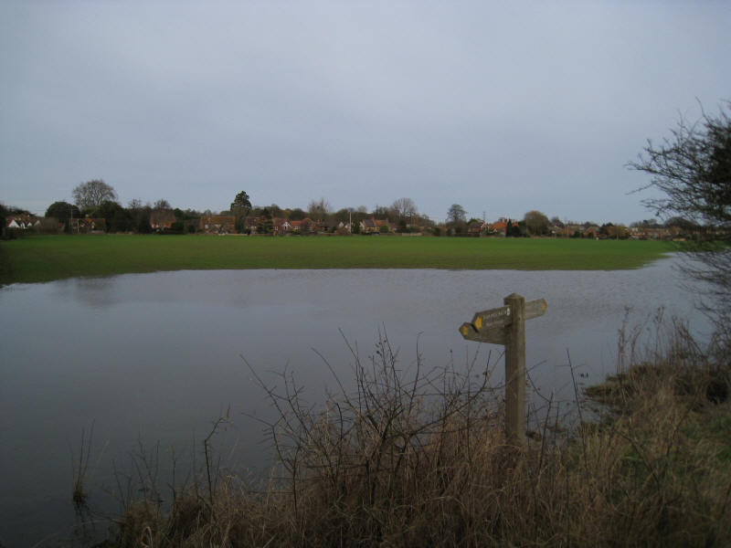
Water meadows, with a lot of water
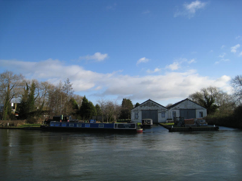
A boatyard just south of the ringroad. I recall being in sole charge of a
12-berth boat and bringing it here from Folly Bridge when I was 14 years old,
while the master in charge brought the other boat and everyone else was in
Oxford. It was great to be trusted - fortunately I did a reasonable job!

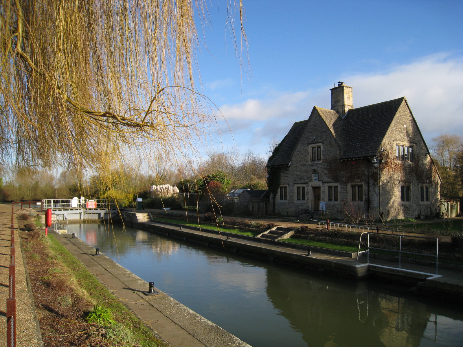
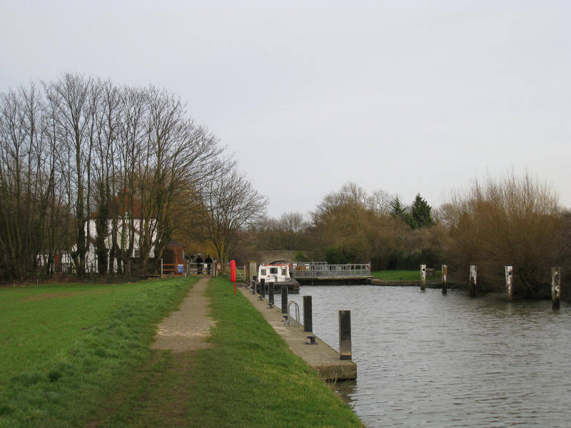
Iffley Lock

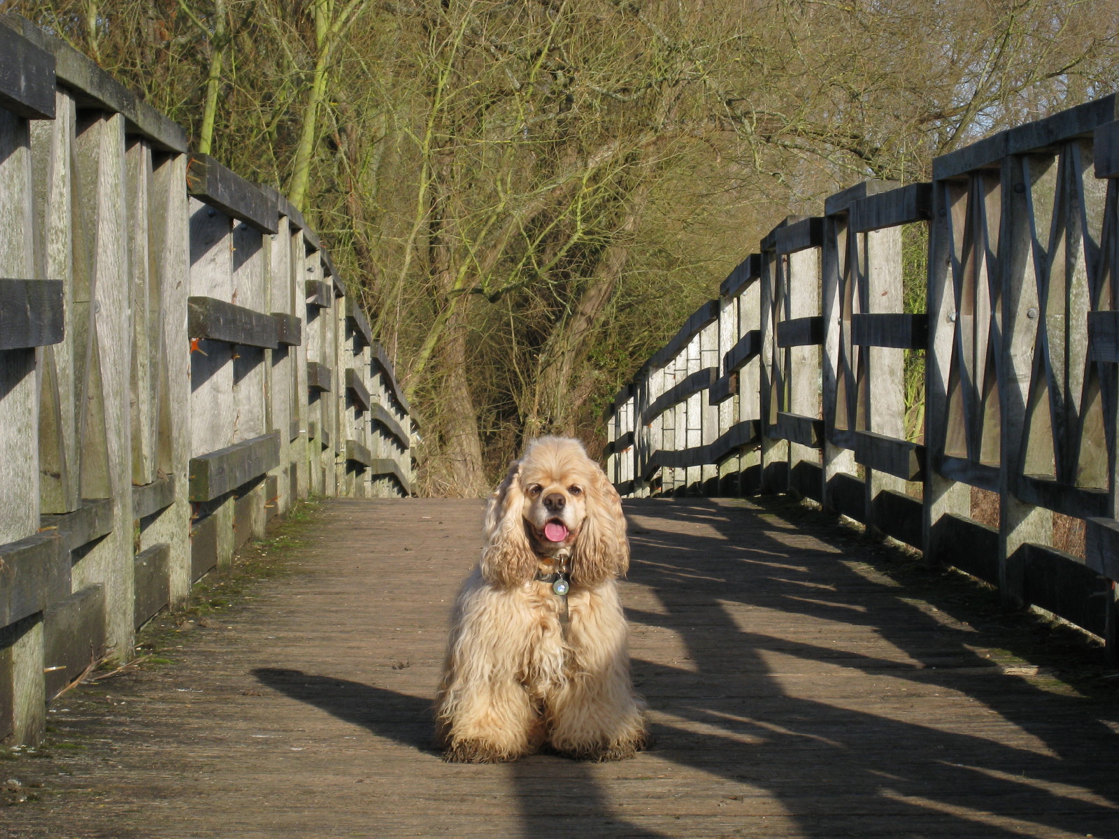
George on the footbridge over Hinksey Stream, the last of the many Thames
backwaters in Oxford to rejoin the main channel: some of its waters left the
Thames north-west of Wytham, some 11 km upstream. George is looking relatively
clean here, but that was not to last.

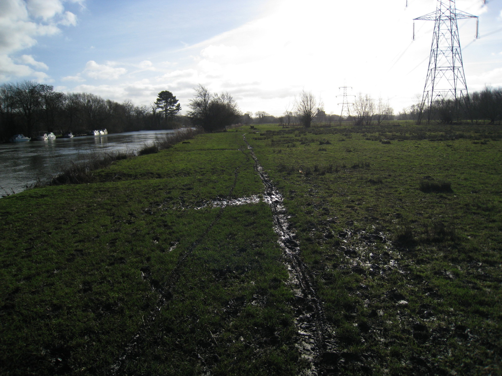
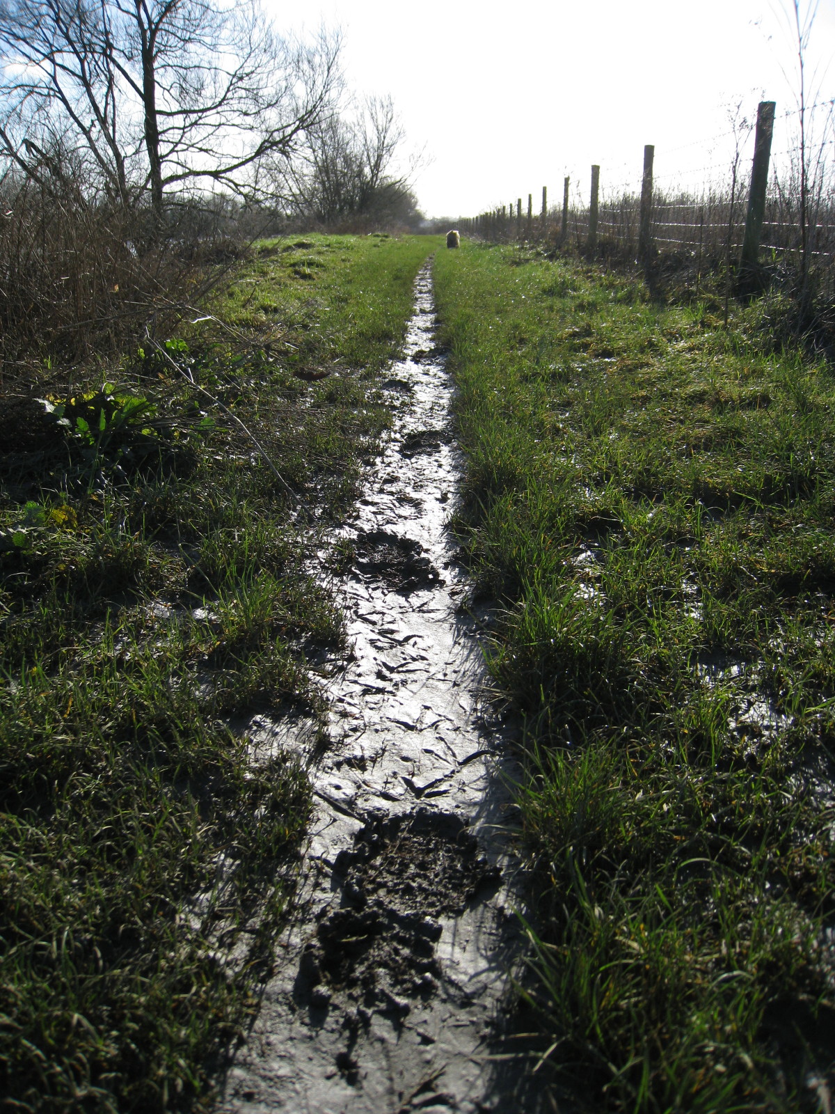
Gradually the towpath gets wetter and muddier.
Here we are at Sandford Lock, and the end of the easy going

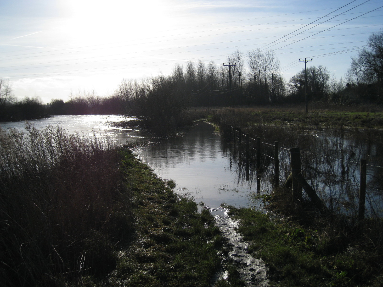
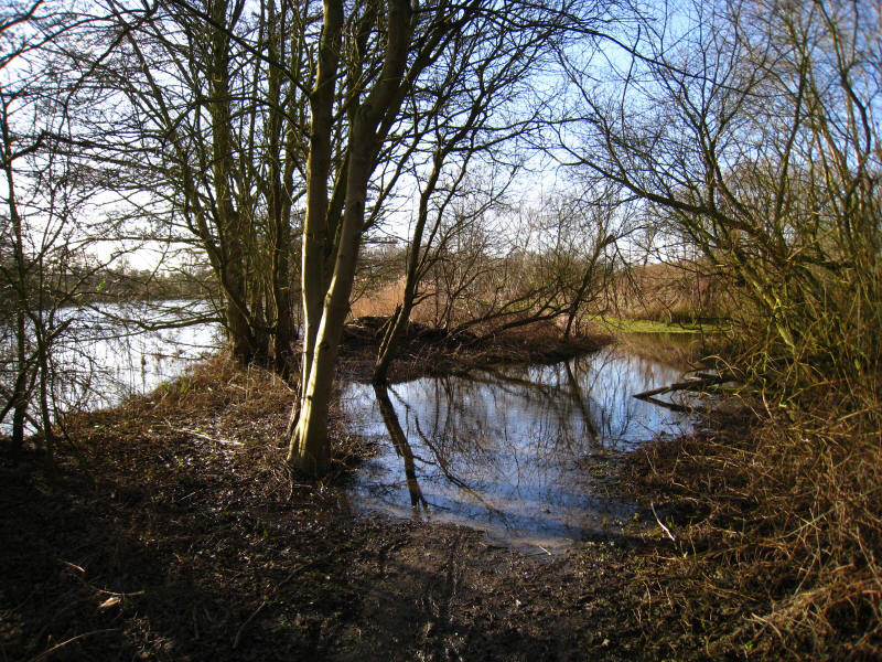
Before long, after a muddy towpath, we are confronted by this. While the edge of
the river is fairly clear and so it could probably be waded through, I didn't
really want to spend the next 3 hours or so with wet feet. I retreated a short
distance, climbed the barbed-wire fence and went round in the field.

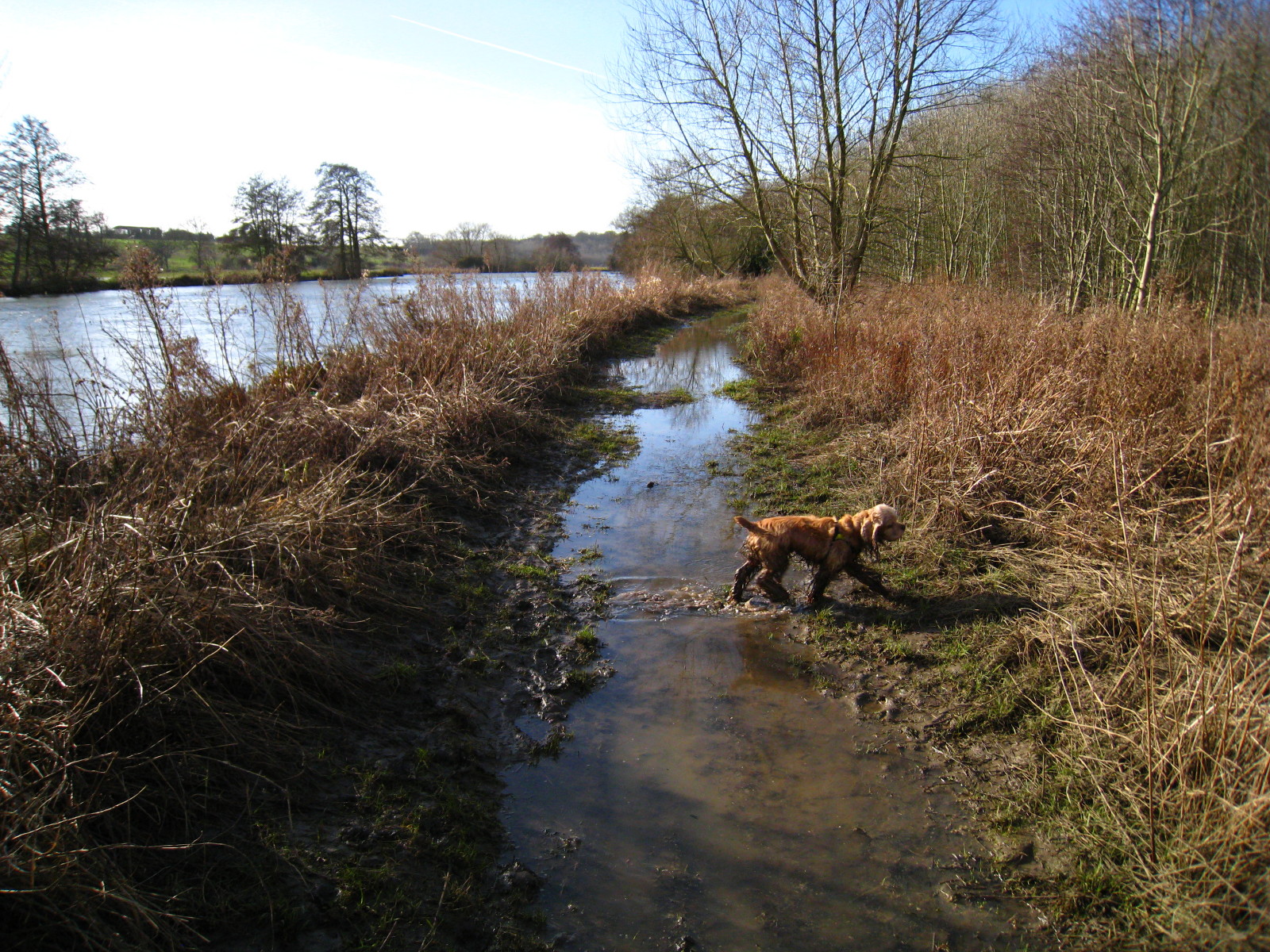
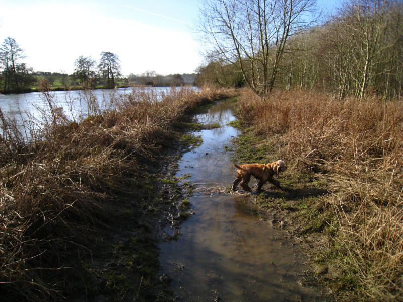
Safely around the flooded path, George continues ahead of me. The path was
covered in a fresh layer of silt, showing that the river had recently been
higher. But the fresh boot-prints, going in my direction (with none coming
back), were an encouraging sign that the path might be passable.
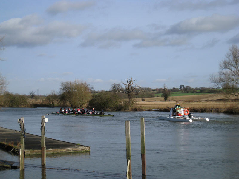
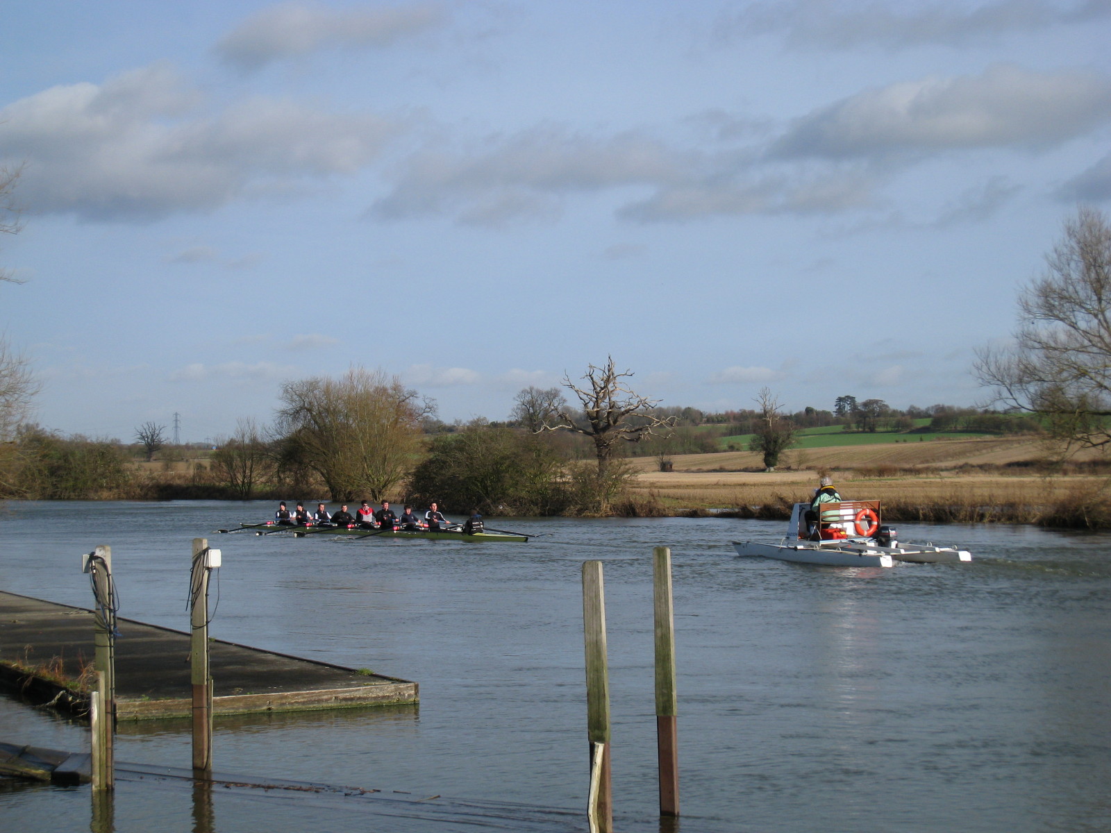
At the Lower Radley boathouse, we stopped for our first lunch, and watched the
eight in training.
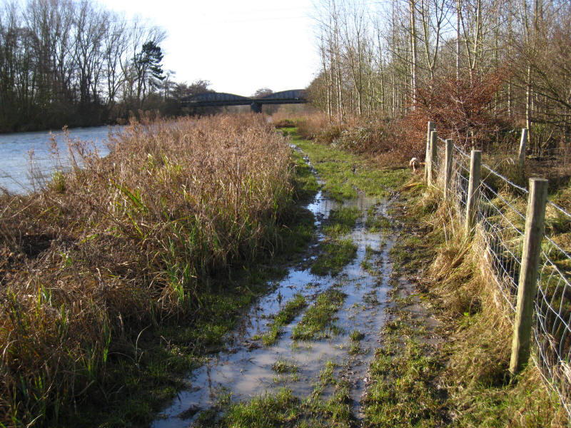
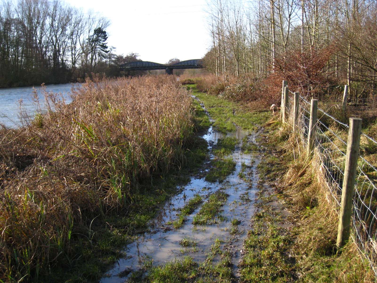
As we approach another crossing of the railway line from Oxford to Didcot, the
path is getting wetter
Fortunately this flood could be escaped by going round on the left
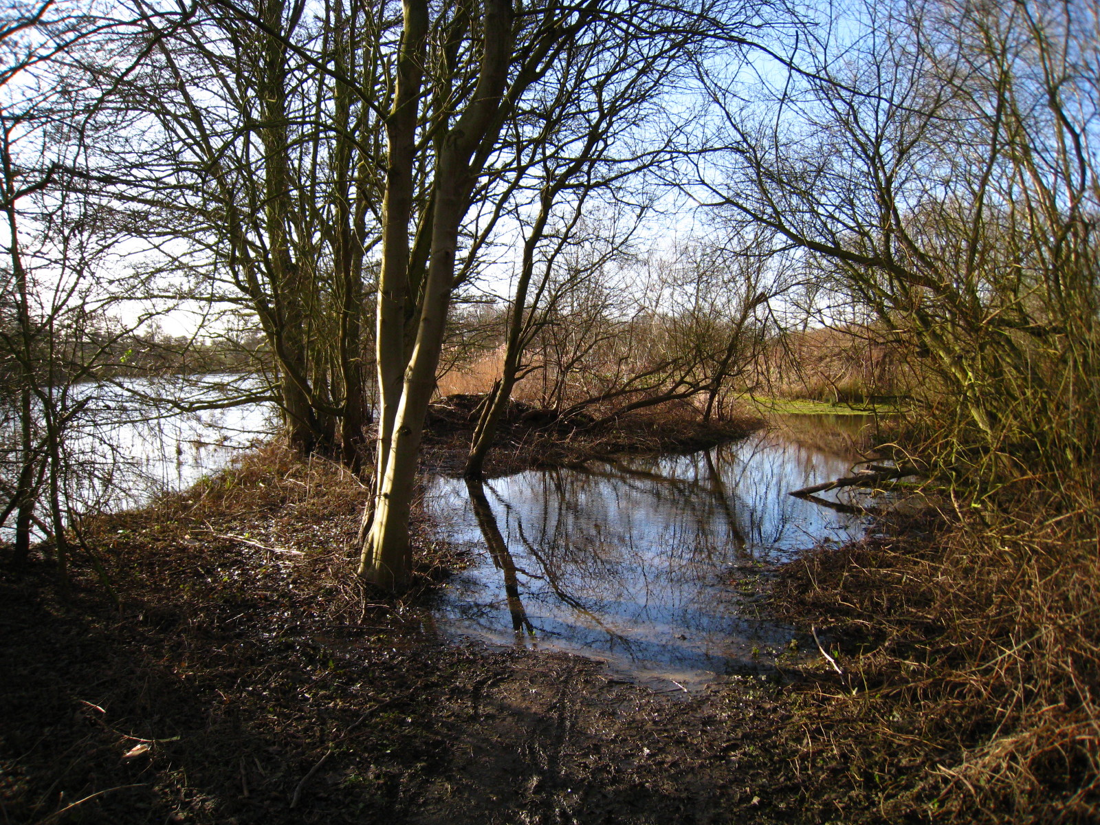
More wet path
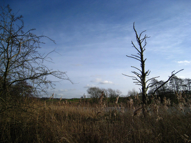
Despite the hard going caused by the constant mud, it was a beautiful January
day - a delight after so much grey gloom recently.
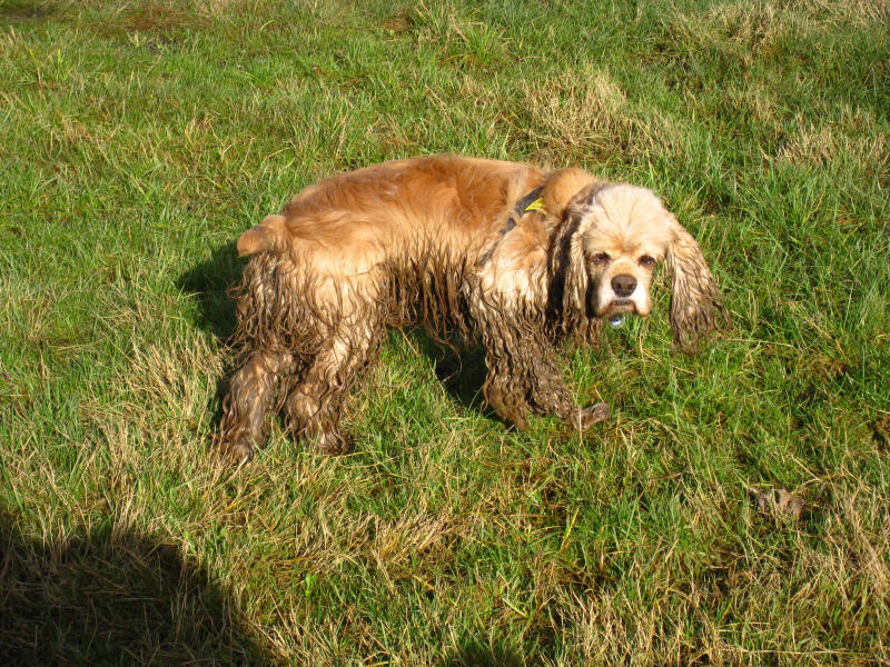
A muddy George
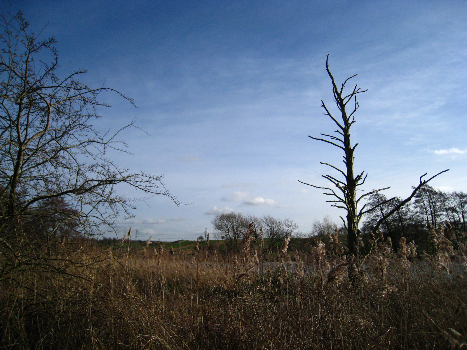
Swift Ditch disappears over a weir. It is said that it used to be the main
channel of the Thames until the monks at the abbey in Abingdon made the channel
past Abingdon into the main route, bringing much trade to the town. Swift Ditch
is now a much overgrown backwater.
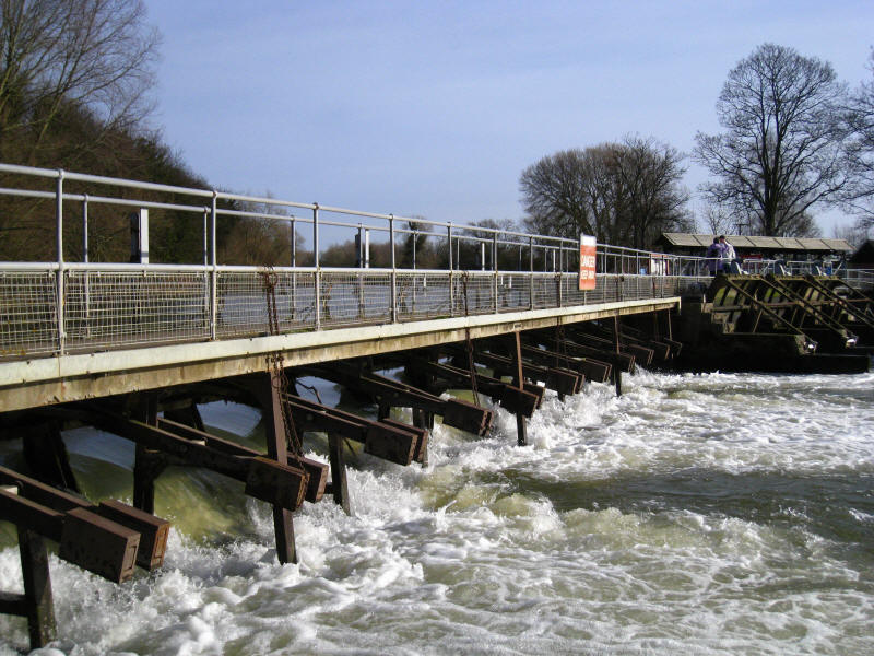
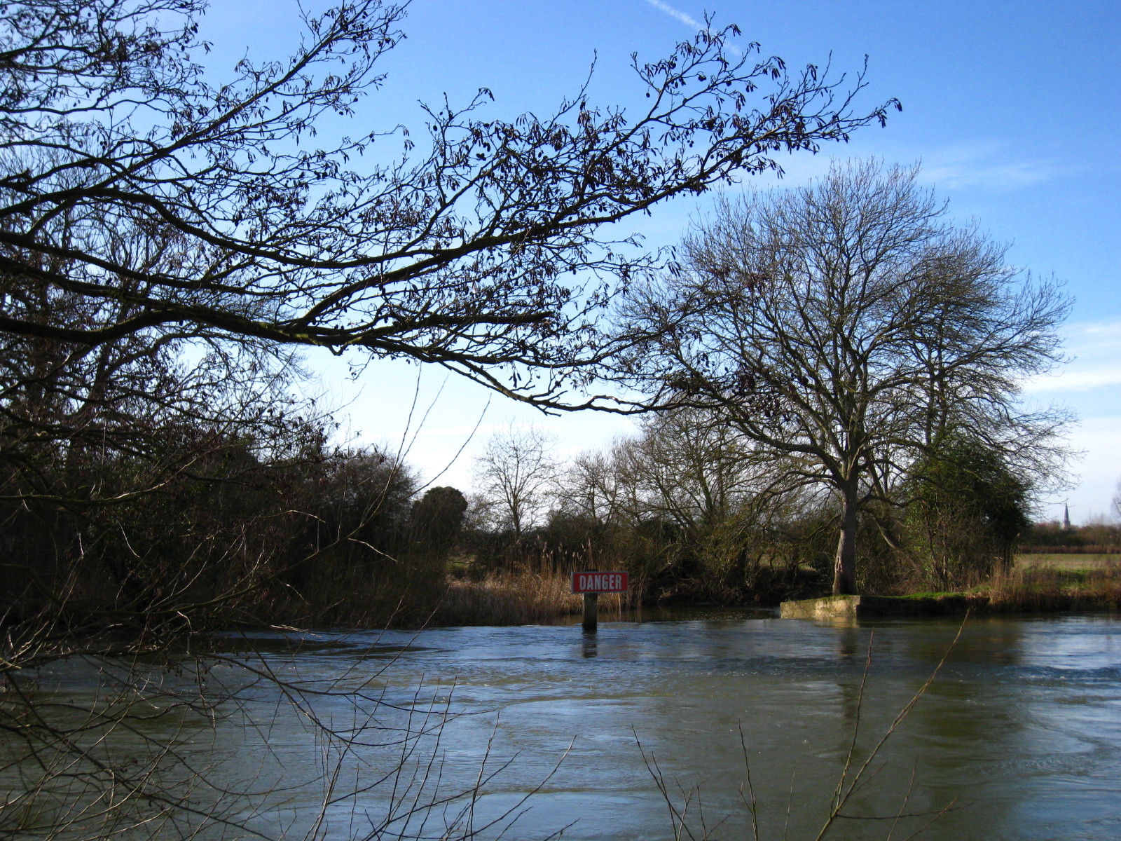
Abingdon weir. Like all the other weirs we've passed, every sluice is fully
drawn, but the difference in water levels is much less than normal.
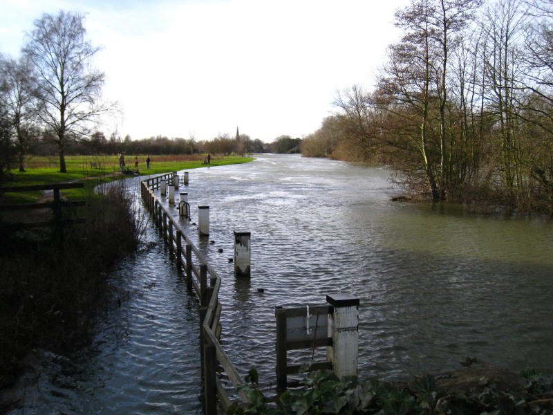
Looking downstream over another flooded landing stage towards the spire of
Abingdon church.
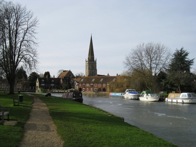
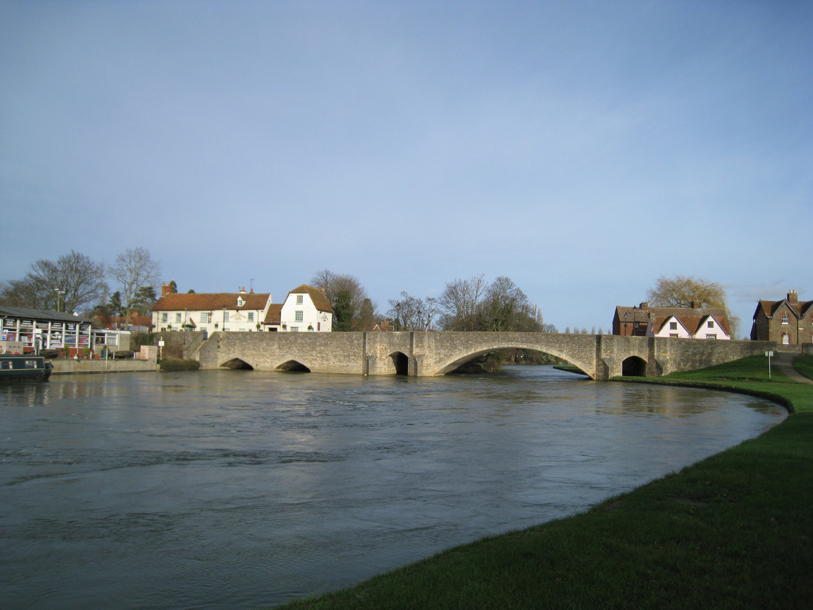
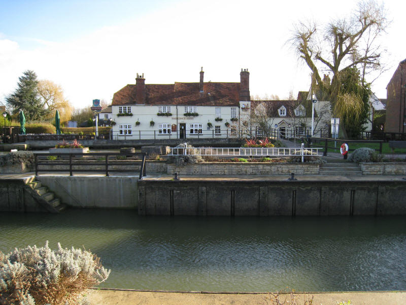
Abingdon, and a lovely spot for our second lunch. It was here that I started my
first UK boating holiday at Easter 1987, when the river had almost as much water
as it did today.
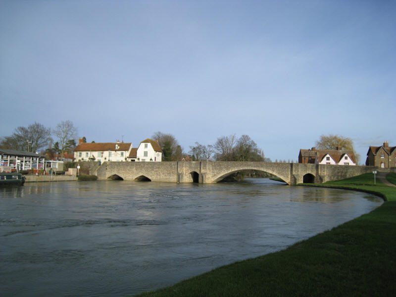
Looking back at Abingdon Bridge
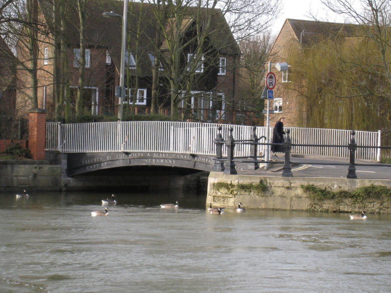
The bridge says that it was erected by the Wilts & Berks Canal Company, which
leads many people to think that this channel emerging is the derelict (but under
restoration) Wilts & Berks Canal, which reached the Thames at Abingdon. But a
moment's thought and observation shows that a canal boat won't fit under here,
so why would it have been put there by the canal company? In fact this is just a
stream entering the river: the canal joined nearby.
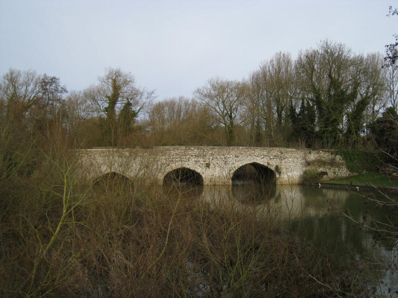
Culham Bridge, the old crossing of Swift Ditch just before it rejoins what is
now the main channel. The size of the bridge and width of the "ditch" shows how
much water once came through here.
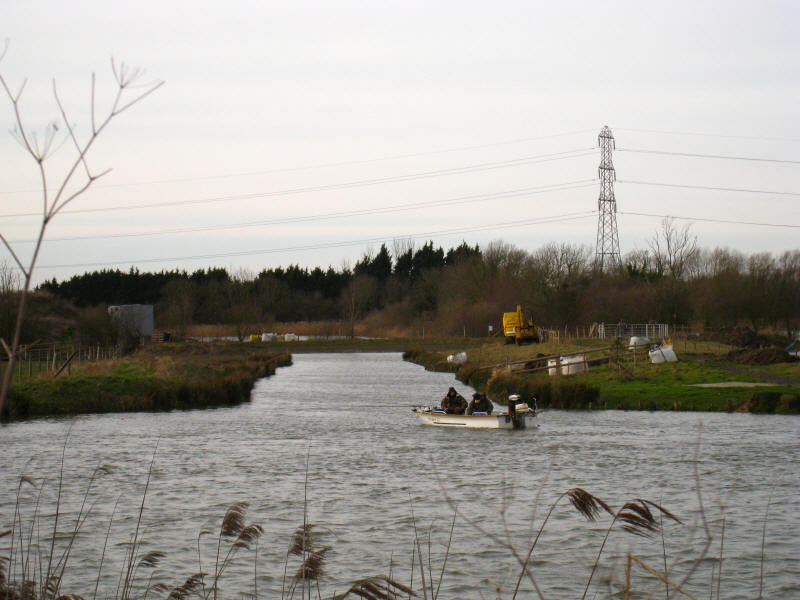
Looking across the Thames, this is the new junction, opened in 2006, with the
restored Wilts & Berks Canal, this short section being built in conjunction with
the new marina nearby.
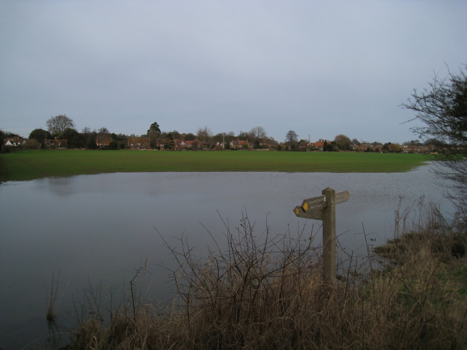
Looking across fields to Culham. I'm glad we didn't plan to use the direct
footpath to the village.
As we near the end of the lock cut, ahead is Culham Lock and beyond it the
bridge that marks the end of today's walk.
A good walk, but jolly hard work walking on so much mud - definitely a walk that
would be better in the summer.
P.S. With hindsight I should have checked
the Environment Agency's website for flood warnings - there was a "flood
watch" in place along the route, which was cleared the next day.
Total 19.5km, (19.1km on the Path) in 4 hours 45 mins.


|