Yorkshire Dales Holiday:
Sharp Haw and Great Whernside
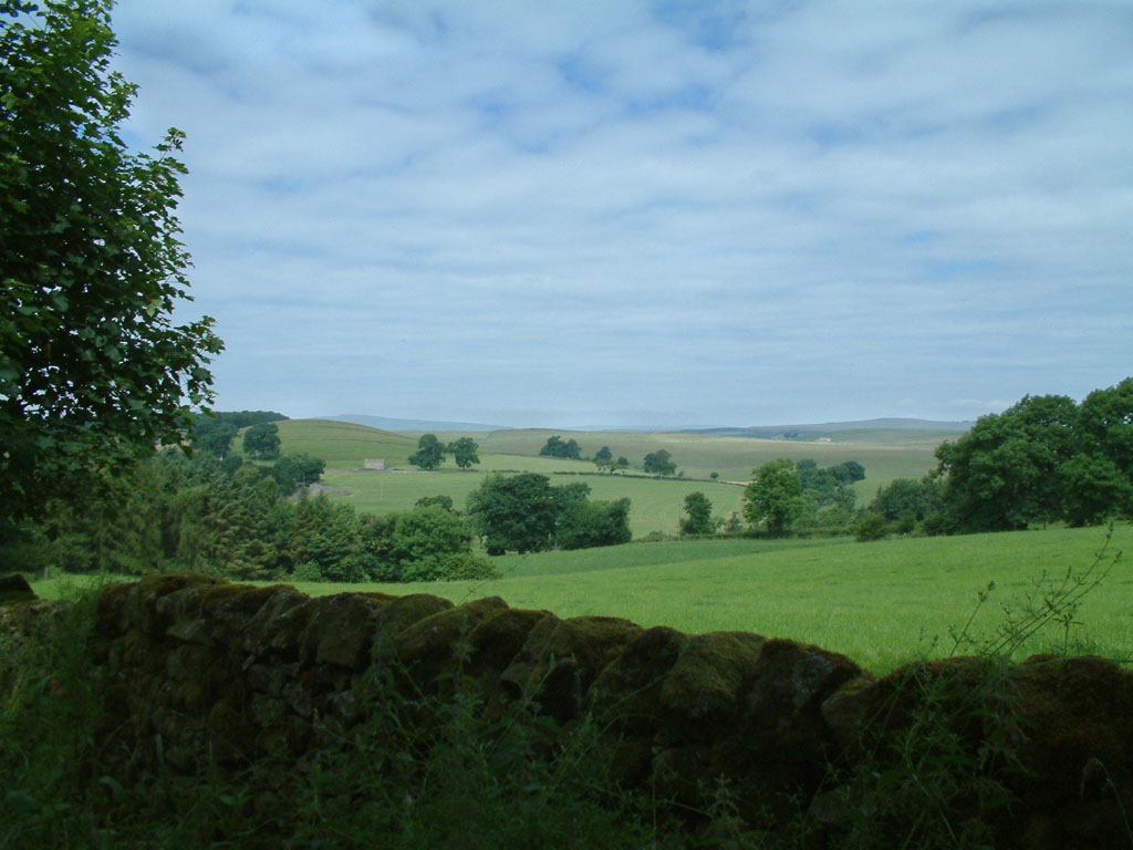
17 July 2005 - Rough Haw and Sharp Haw
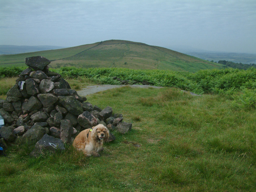
George on Rough Haw, with Sharp Haw behind. Sharp Haw, being the last outpost of
the hills before the broad Aire valley, and with a sharp summit from many
angles, it is prominent from much of the area to the south.
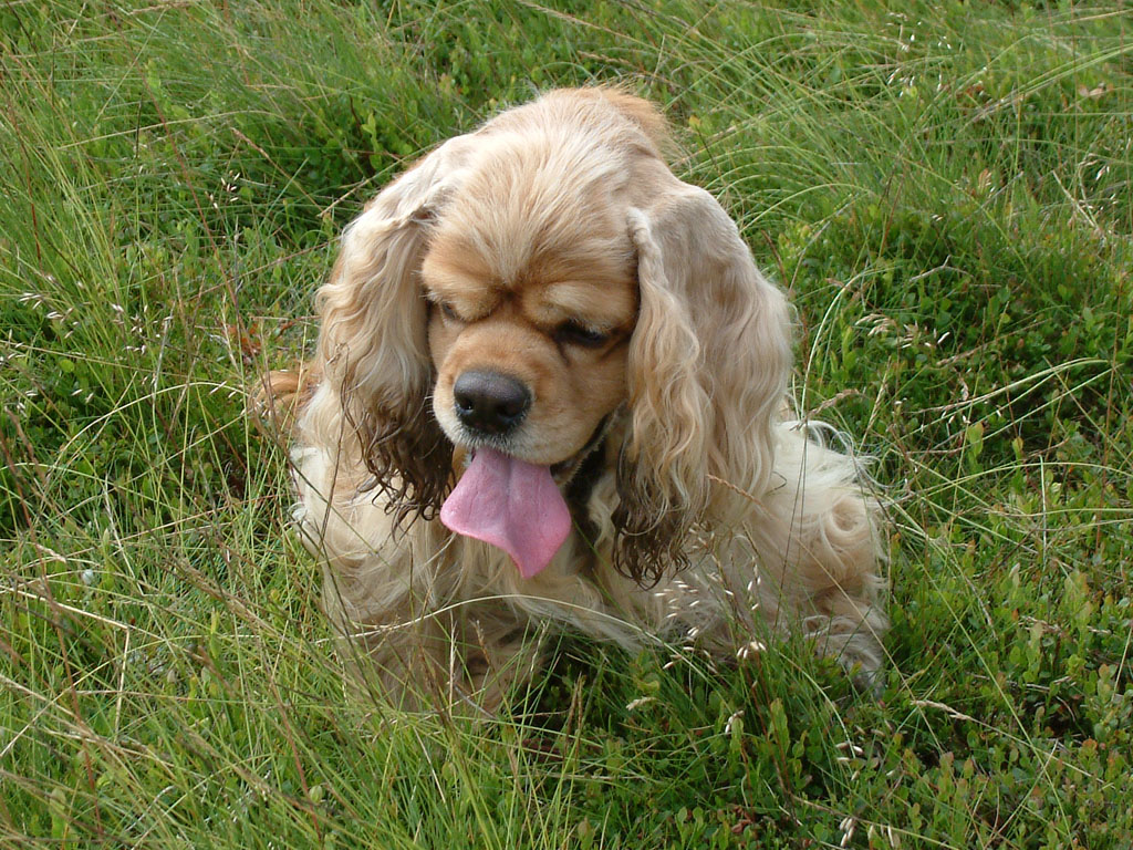
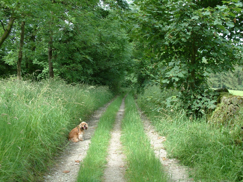
George takes a breather on the walk from Rough Haw to Sharp Haw
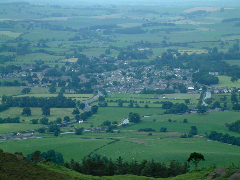
Gargrave and the Leeds and Liverpool Canal from the summit of Sharp Haw: the
bottom of the Gargrave locks can be seen on the left, ending the long pound from
Bingley, as can the aqueduct over Eshton Beck
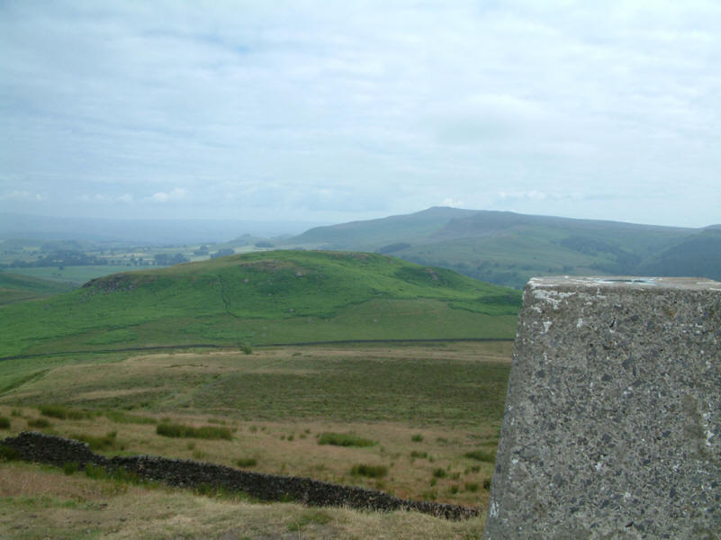
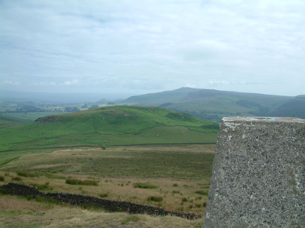
From the trig point on Sharp Haw (357m / 1171ft), looking across
Rough Haw towards the escarpment of Cracoe Fell on the western edge of Barden
Moor
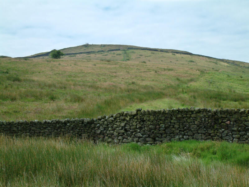
Looking back up to the summit of Sharp Haw, the first
Marilyn of the week
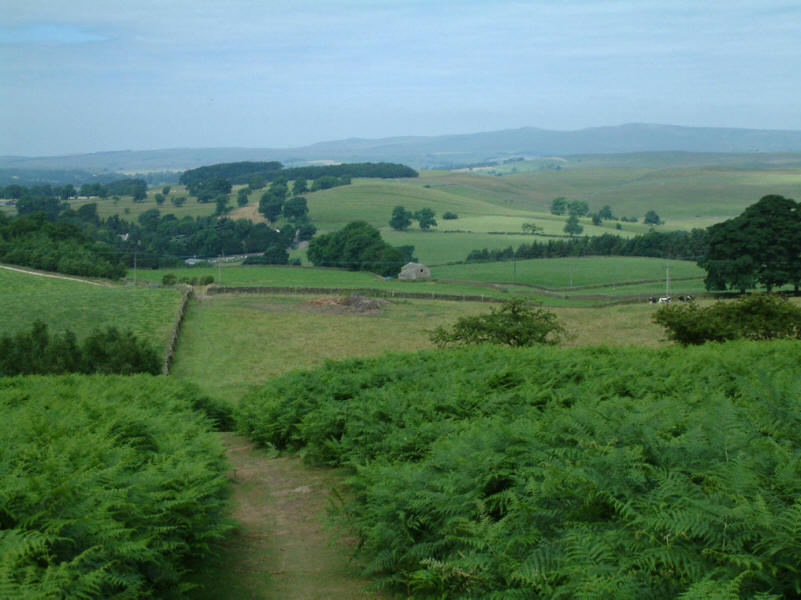
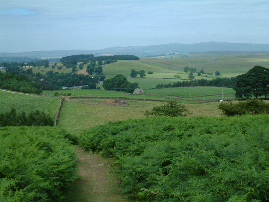
Descending towards Flasby
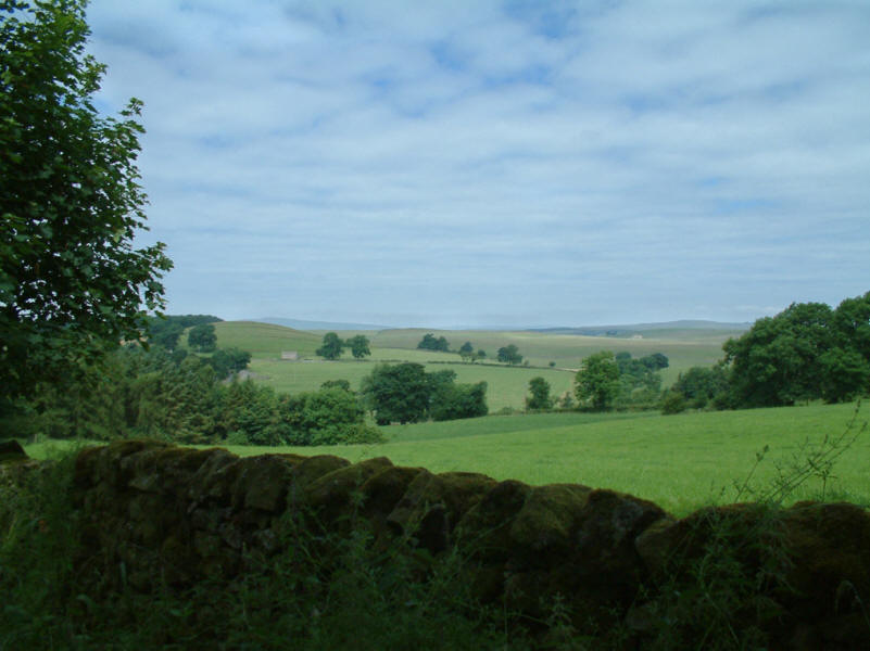
The weather continues to improve, with blue skies appearing over the very green
fields.
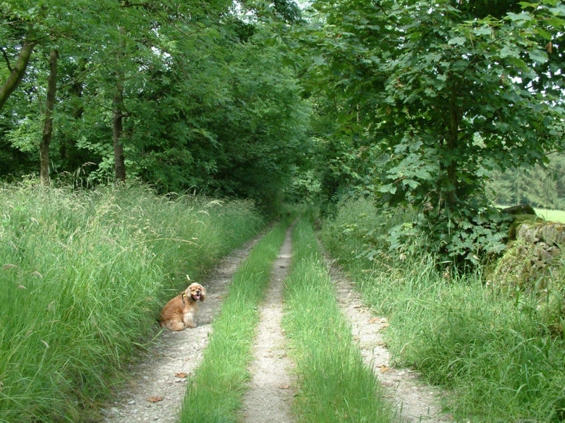
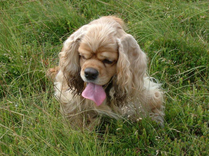
George waits for the photographer - again!
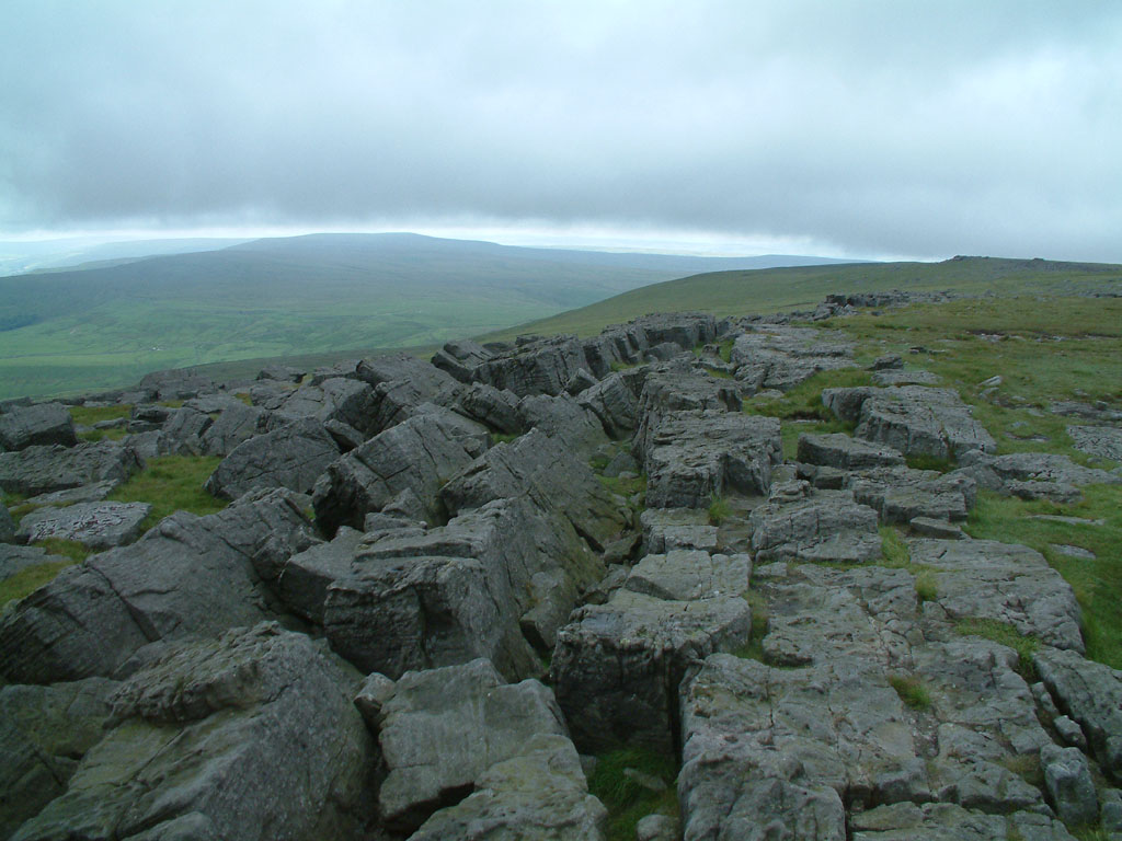
18 July 2005 - Great Whernside
Great Whernside (704m / 2310ft) is not to be confused with the more well known
Yorkshire Dales "Whernside", a few miles away.
The summit of Great Whernside is the highest point on the eastern flank of upper
Wharfedale, looming over the village of Kettlewell.
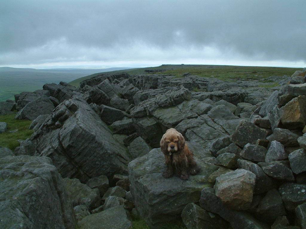
On an afternoon which began with rain and low cloud, and ended in sunshine,
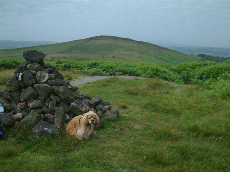
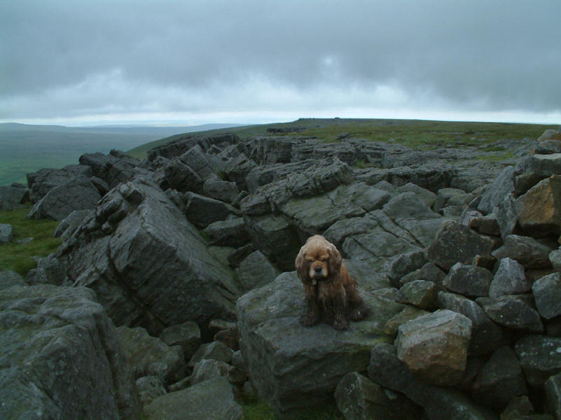
a very dirty George sits by the cairn at the top of Great Whernside.
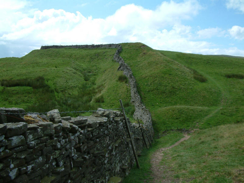
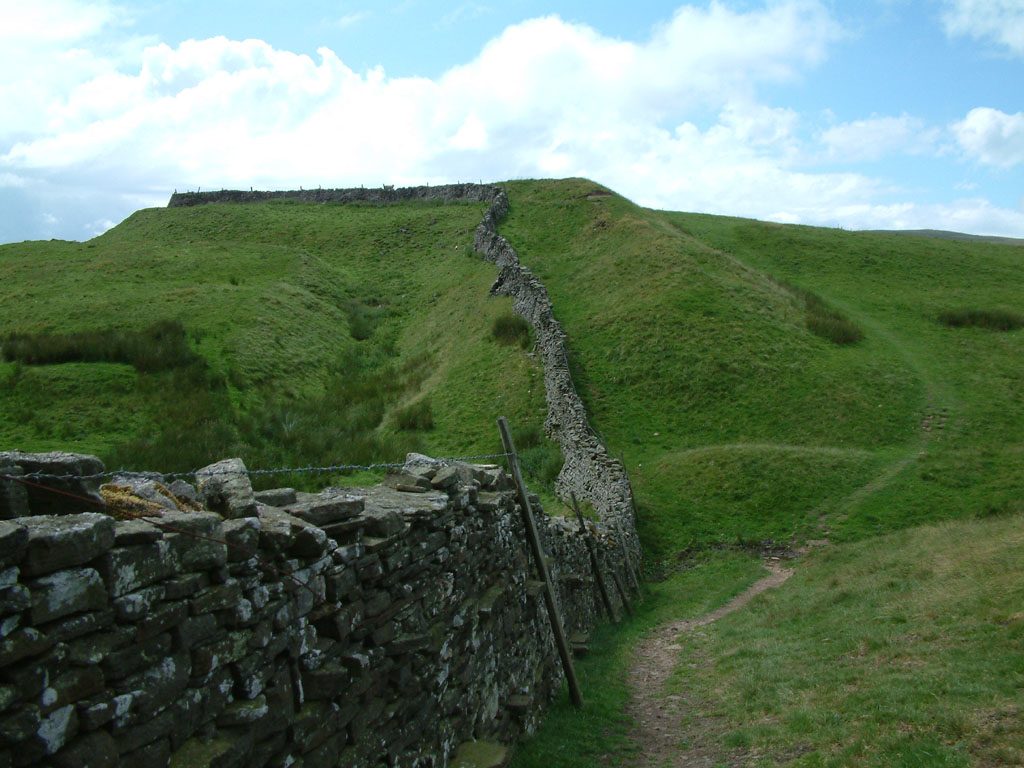
We had taken the easy way up, from the top of the pass between Wharfdale and
Coverdale. Here can be seen part of Tor Dyke - built between AD 52 and AD 70
under the instructions of the Brigantian Chief Venutius, as part of a defence
system against Roman invasion.

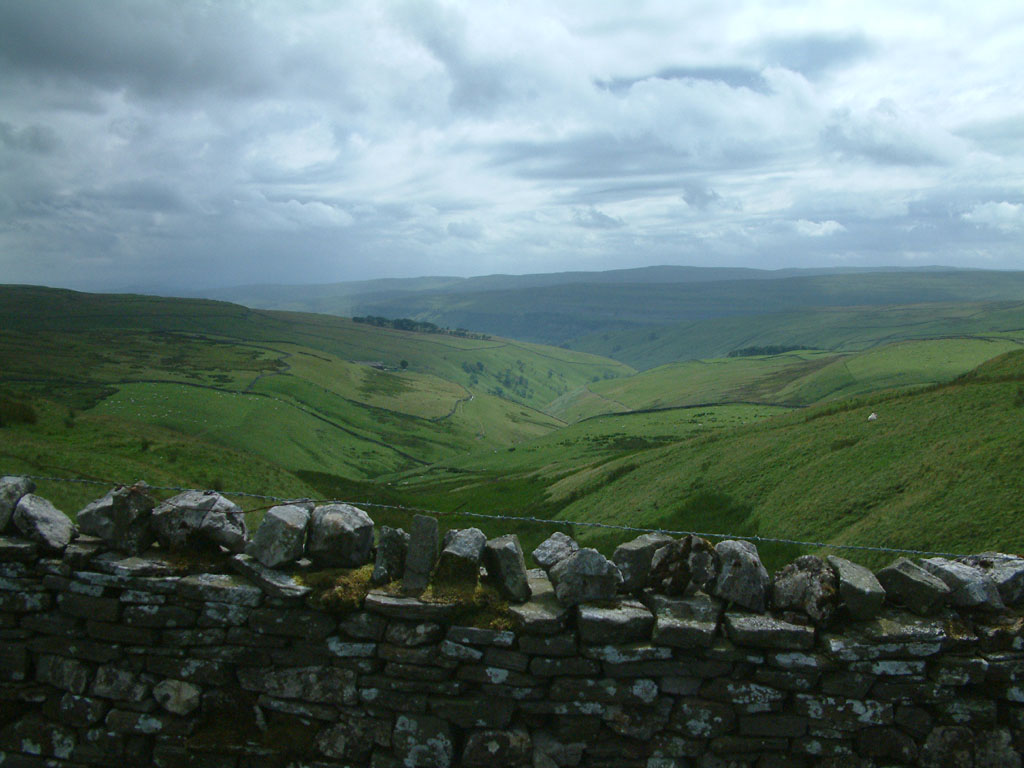
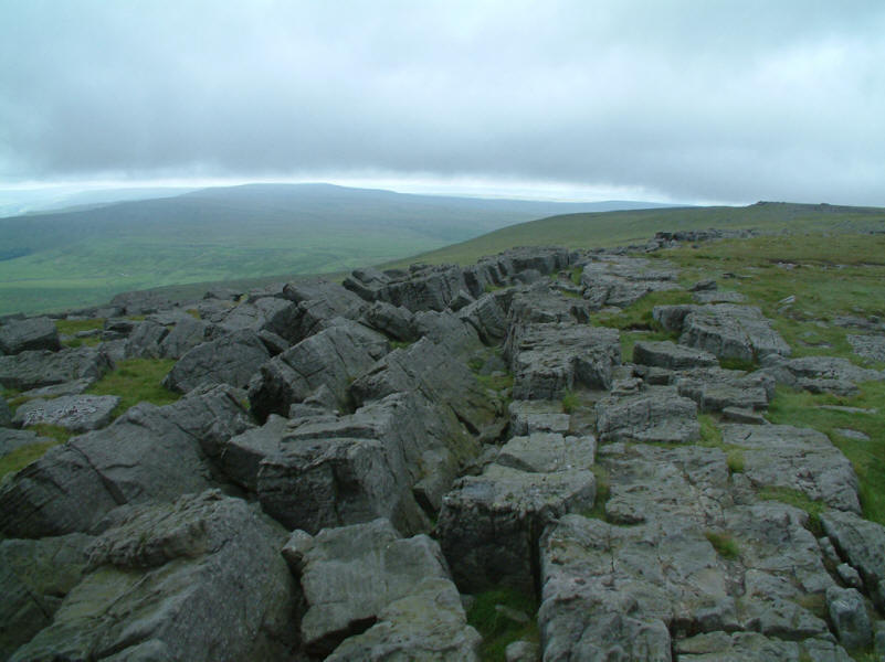
Looking back up towards the Whernside escarpment
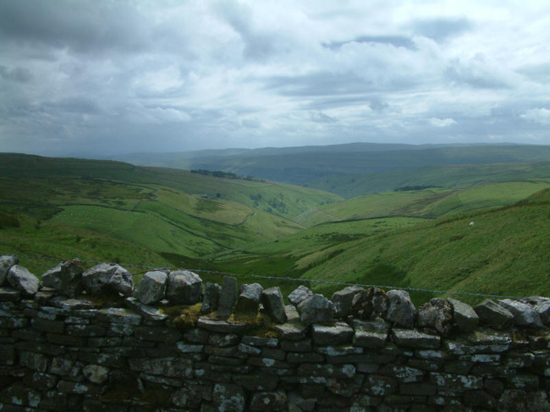
Looking down the valley of Park Gill Beck towards the Wharfe
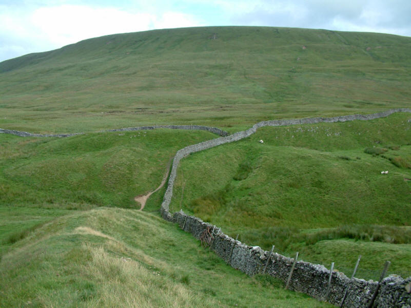
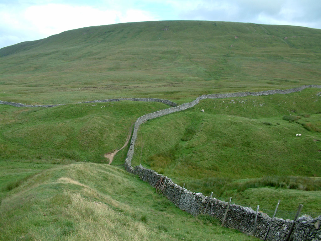
From Tor Dyke looking towards Whernside

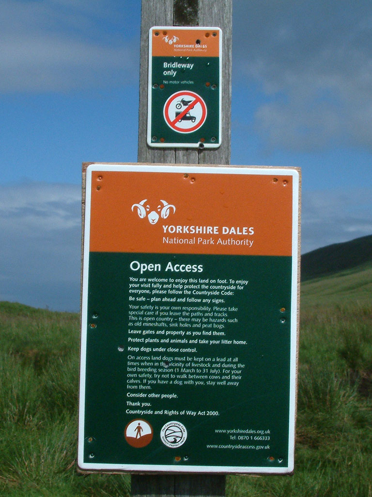
The first of the new Open Access signs we'd seen
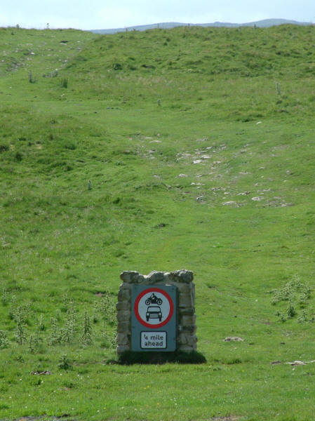
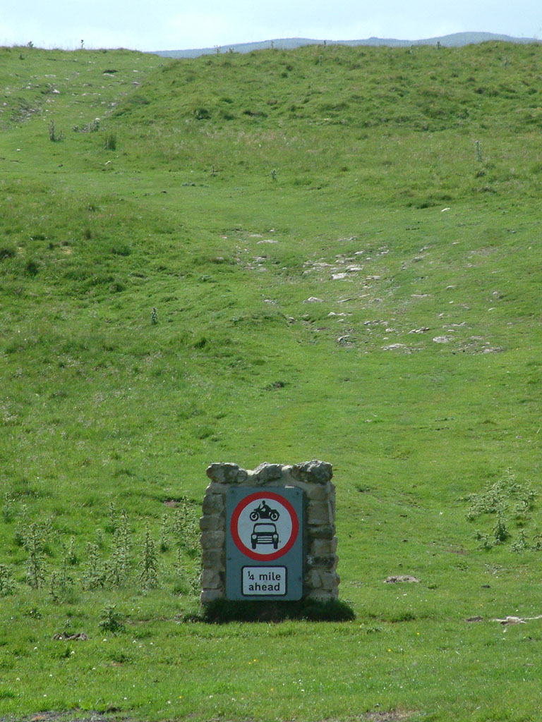
I know why the sign is there, but it does look rather incongruous
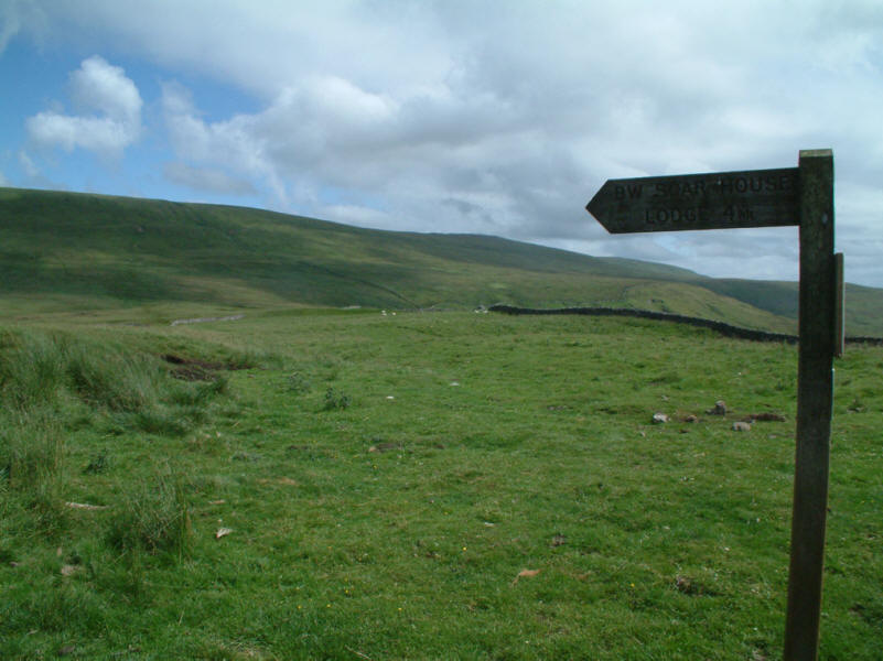
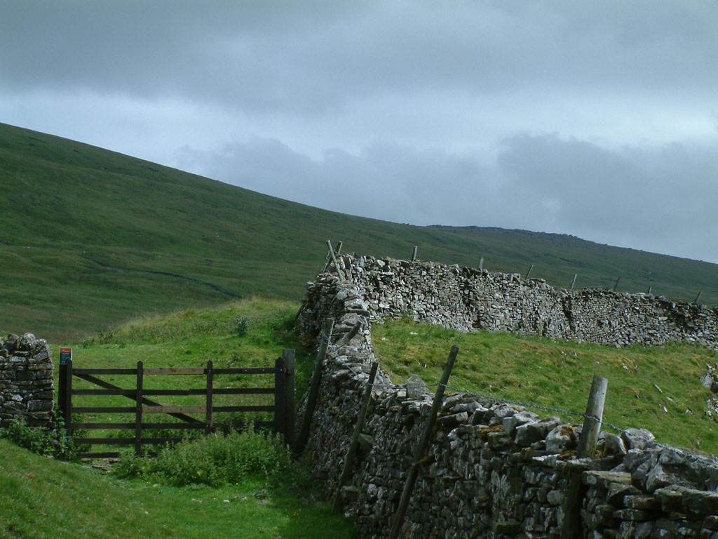
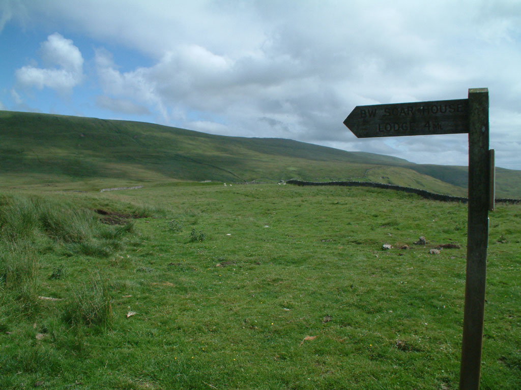
Bridleway to Scar House Lodge, from which the public footpath
up onto Great Whernside splits off a few metres later.
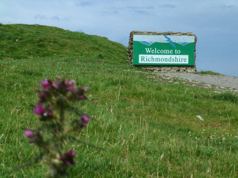
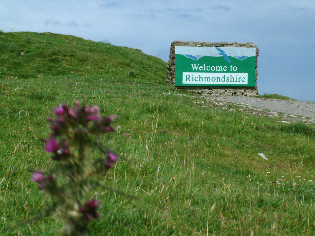
The sign is mildly misleading, as the photographer is already in Richmondshire,
but the welcome is nonetheless well received
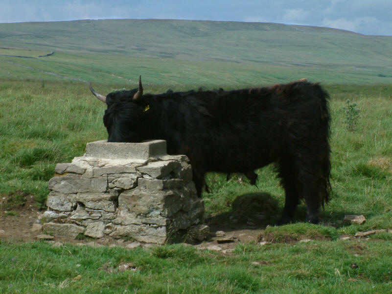
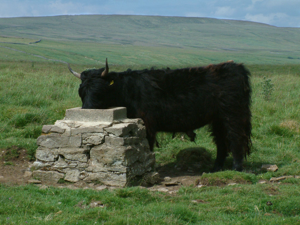
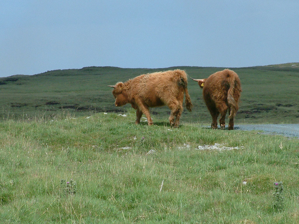
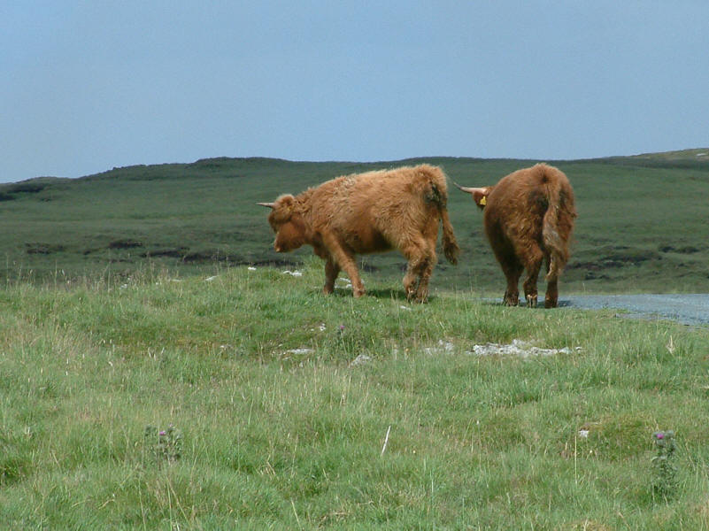
There were quite a few cattle around the road, but none up on the fell
Time to go home
Yorkshire Dales holiday July 2005
|
|