|

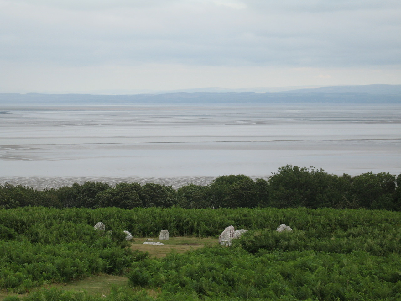
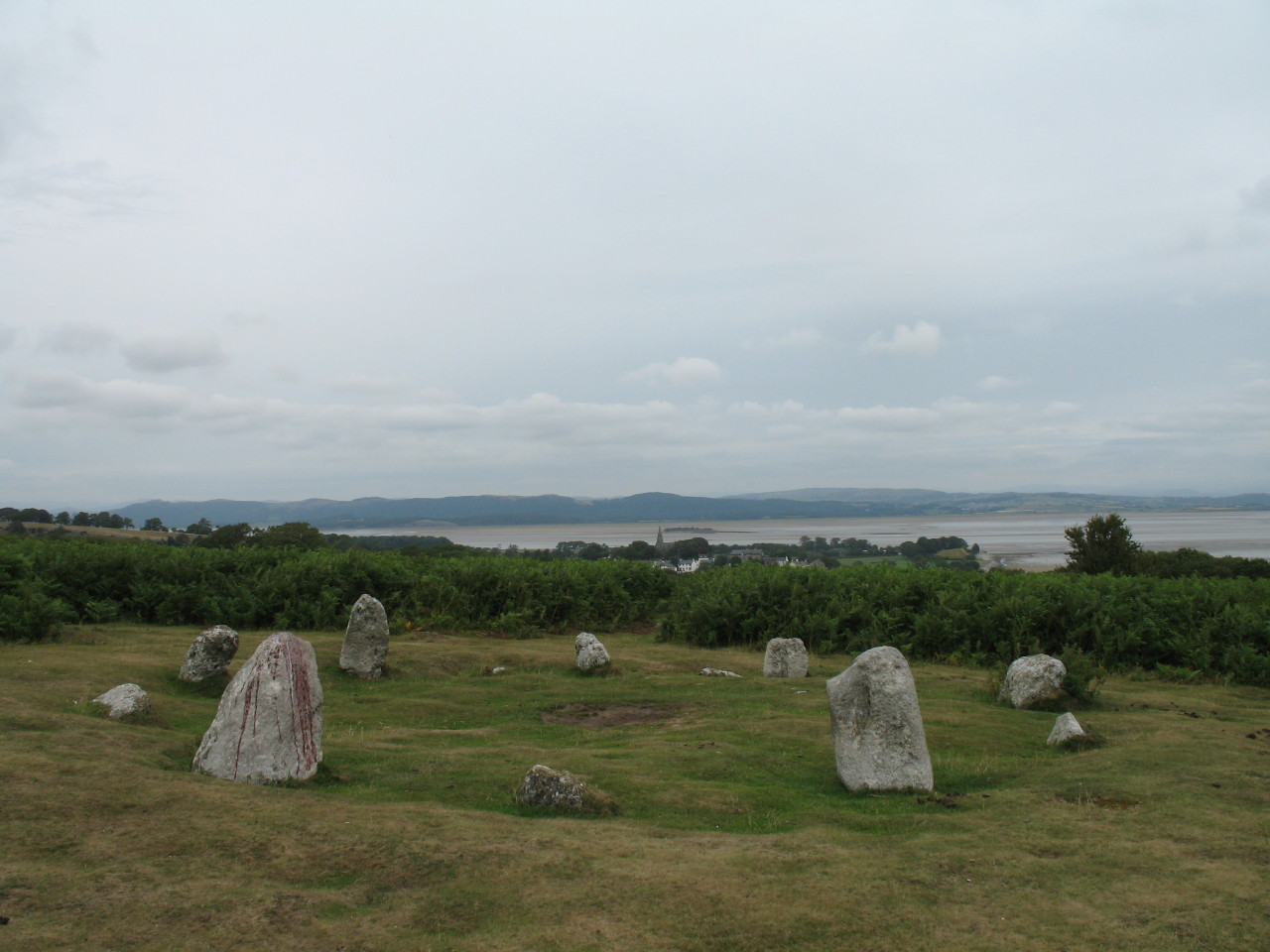
Birkrigg stone circle dates from between 1700 and 1400 BC.
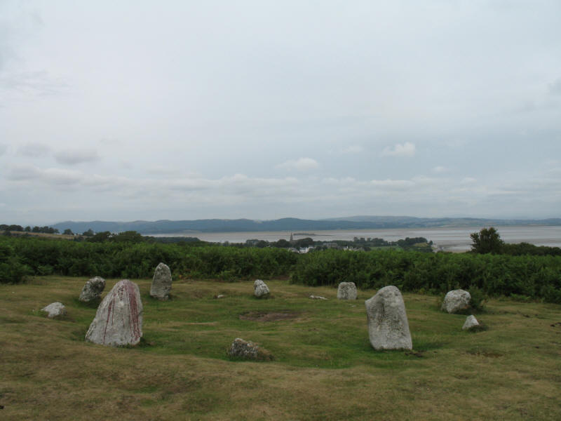
These two stones point along a path which lies along a line across the steeple
of Bardsea church and then Chapel Island. Sadly the stones have been vandalised
- paint being prominent on one stone in particular.
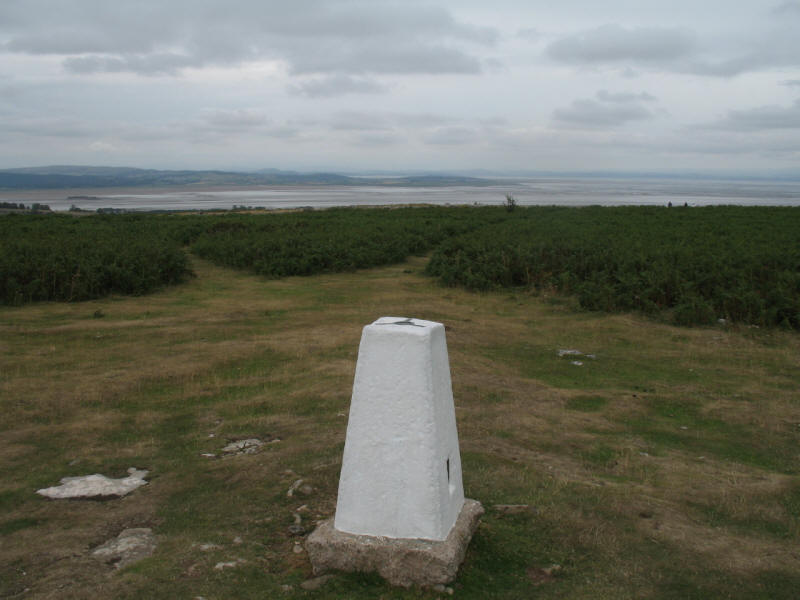
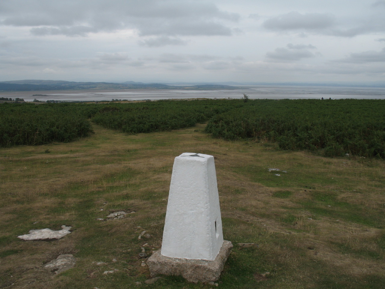
A short distance away lies the summit of Birkrigg Common with its trig pillar
(136 metres above sea level).
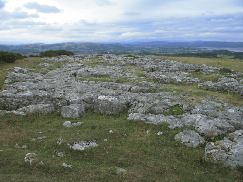
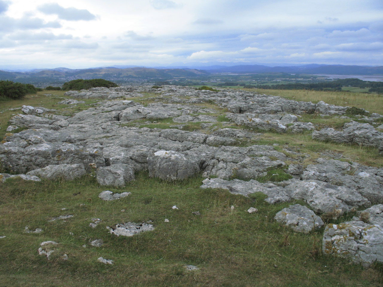
There are some significant fragments of limestone pavement remaining, being part
of the carboniferous limestone that surrounds the Lake District. (See also
visits to Whitbarrow Scar and
Hutton Roof Crags.)
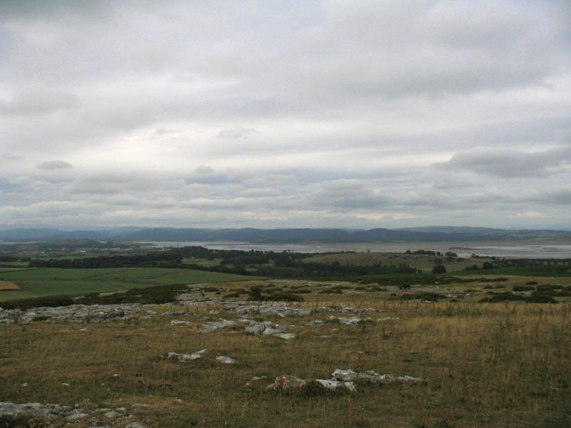
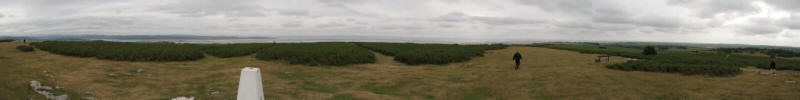
The highest point in Furness south of the A590 road, the views are extensive
across the sands of Morecambe Bay from east round to west.
Lake District holiday, August 2006
|
|