Duddon valley circular walk along the old road,
visiting Penn
1 May 2007
After a morning visit to Grasmere where we had a good lunch sitting outside in
the sun at the Ash Tree Coffee Shop, a late afternoon walk was planned.
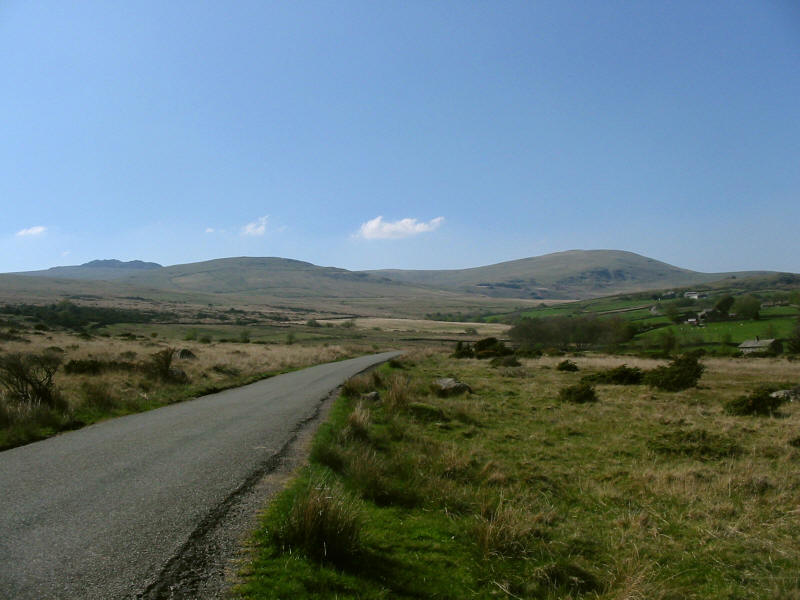
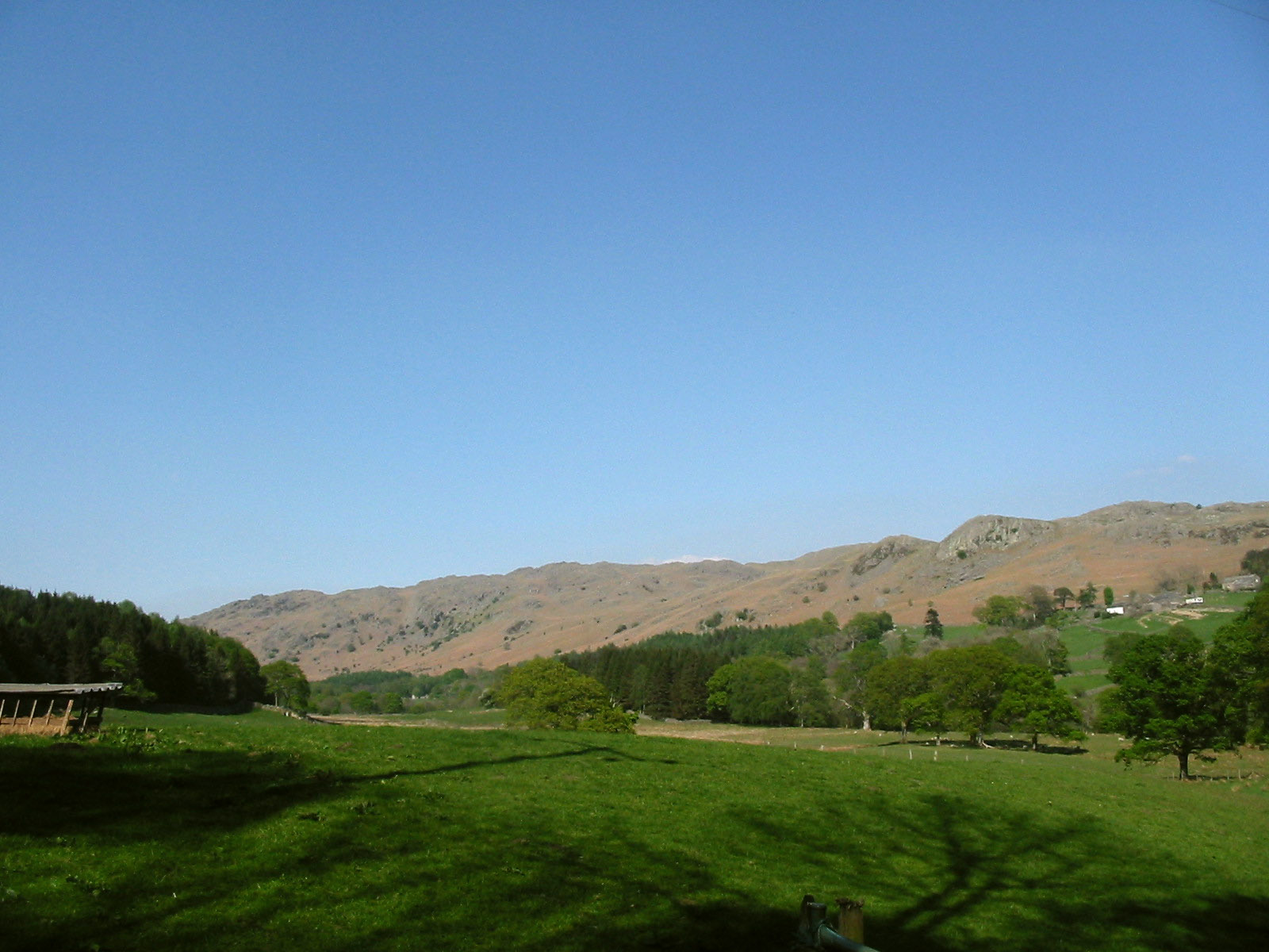
Having parked the car near Logan Beck Bridge, we walk along the road down into
the Duddon valley; looking back we can see Buck Barrow, Plough Fell and Whitfell.

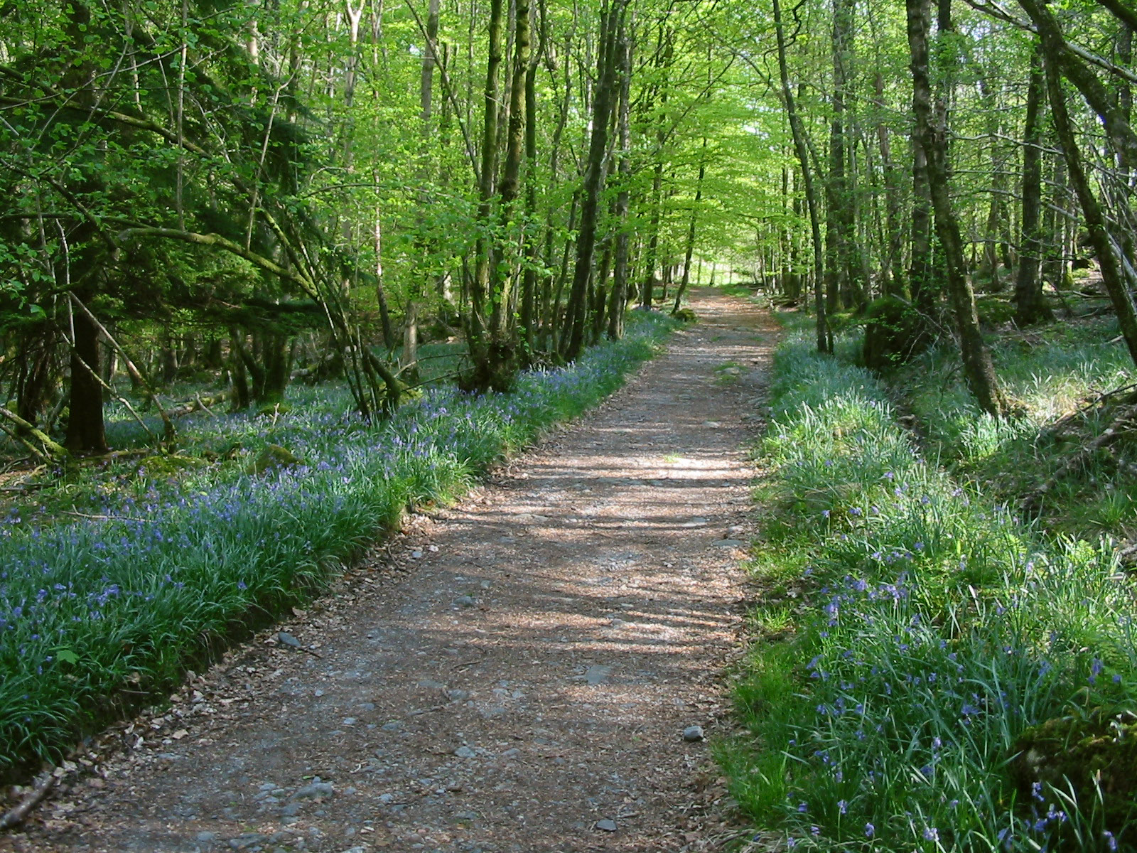
Having passed through Beckfoot, we take the path north through the woods along
the eastern edge of Ulpha Park up the Duddon valley

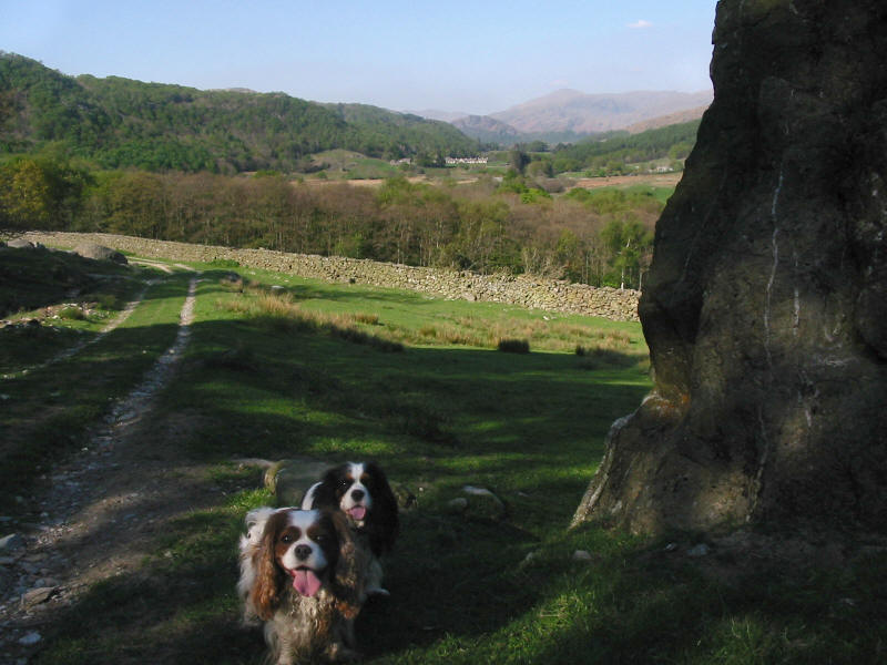
The bluebells are looking very attractive.

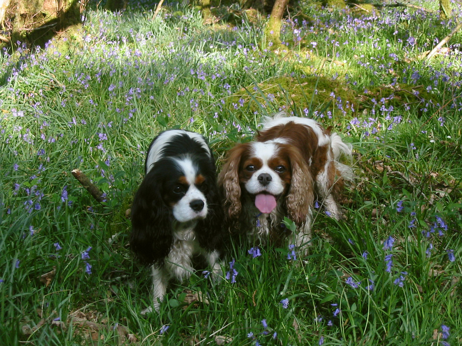
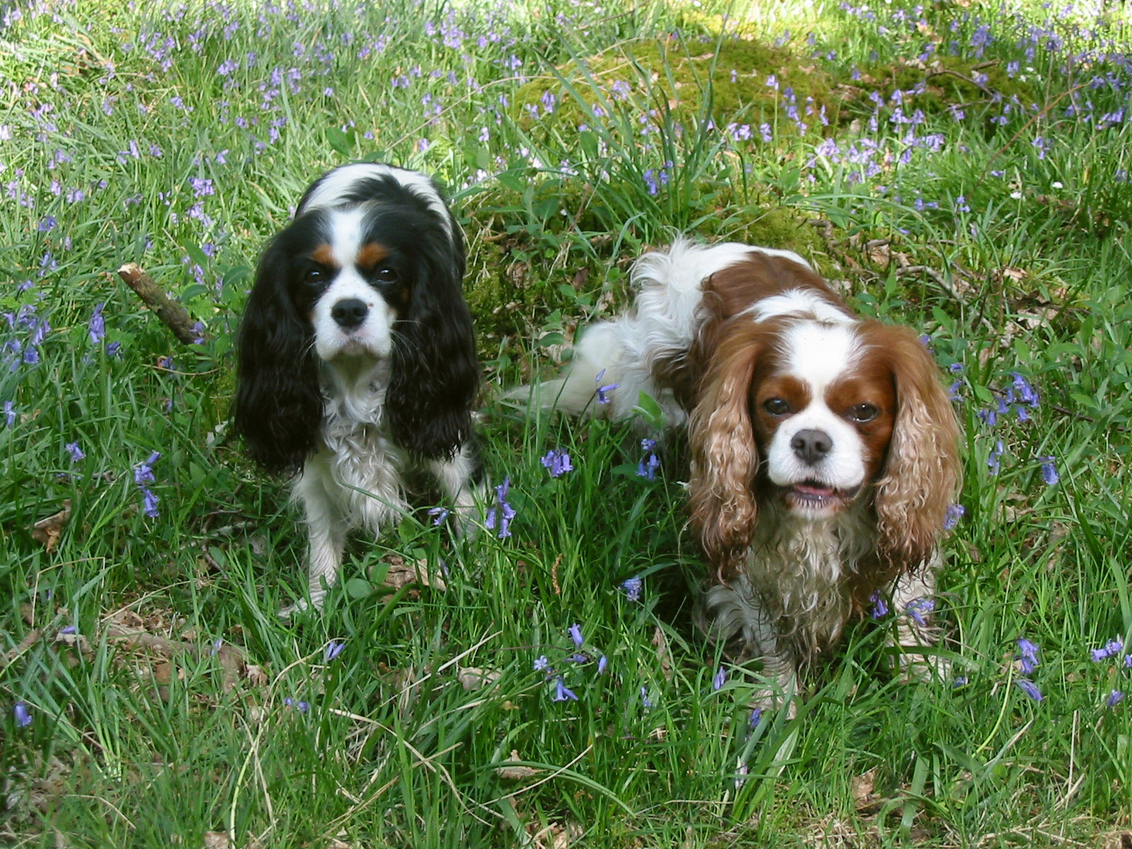
Ellie and Henry in the bluebells


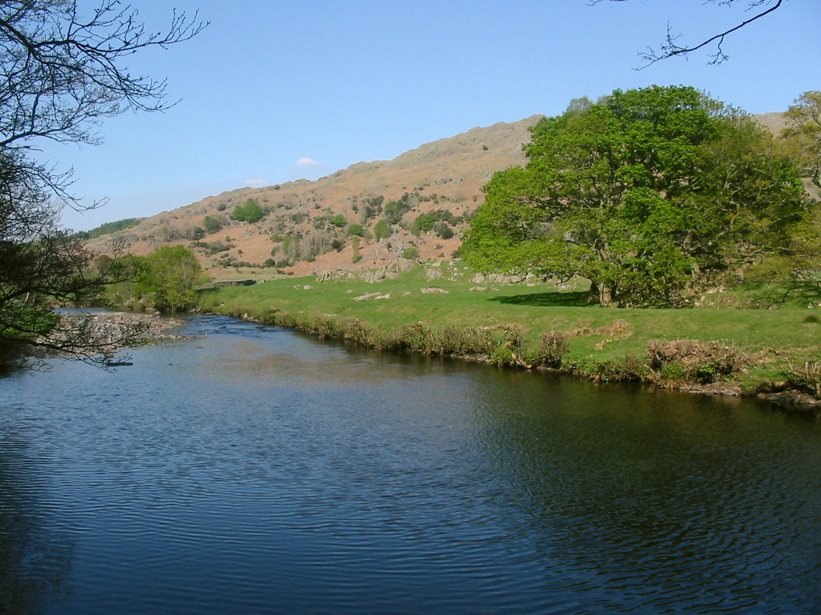
As we near the northern end of Forge Wood, the river approaches close to the
path
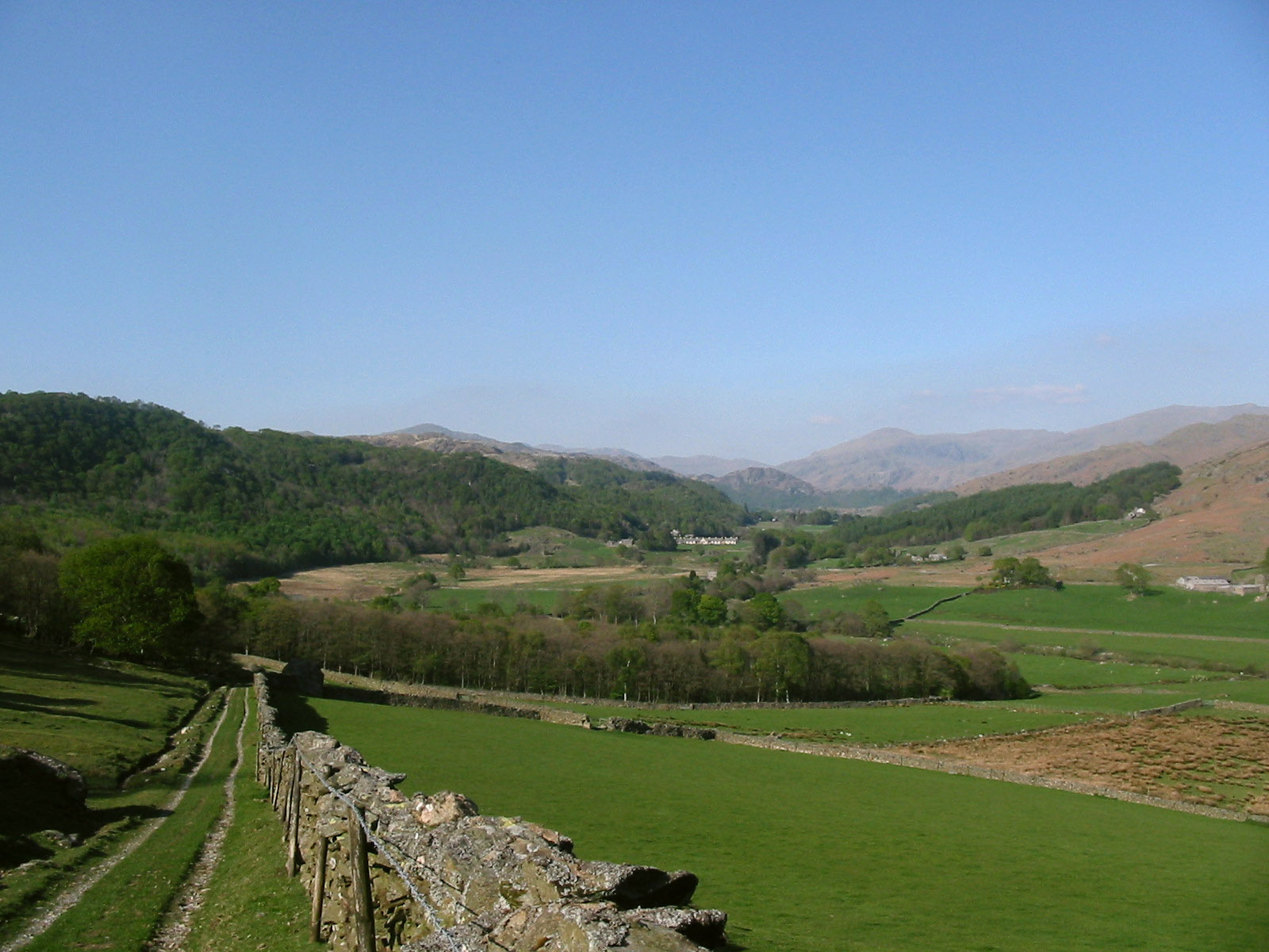
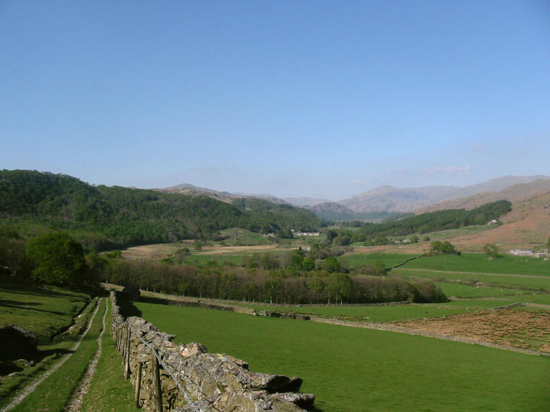
We turn left and left again to head SSW up the hill, and now look back up the
Duddon valley, with Wallowbarrow (or Wallabarra) Crag prominent centre-right,
and the mass of Grey Friar behind and to the right.
From a bit further up the "road", another look back up the Duddon
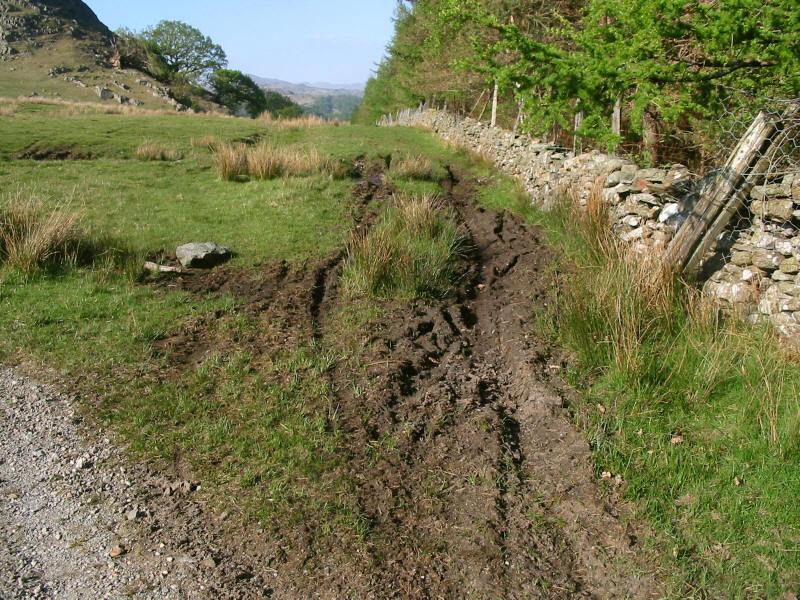
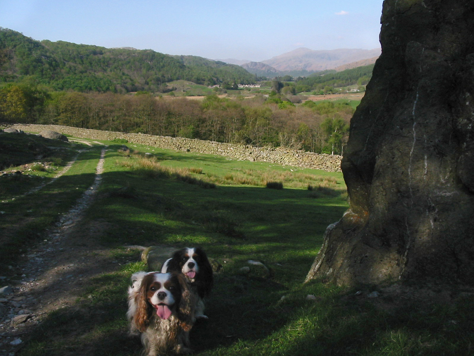
Here the old road meets the bridleway from Millbrow

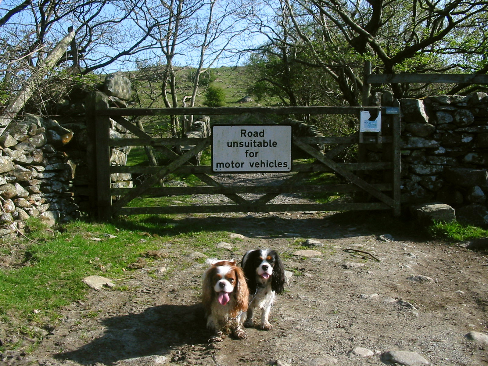
The road continues "unsuitable for motor vehicles", though it is hardly any
worse on the other side of the sign.

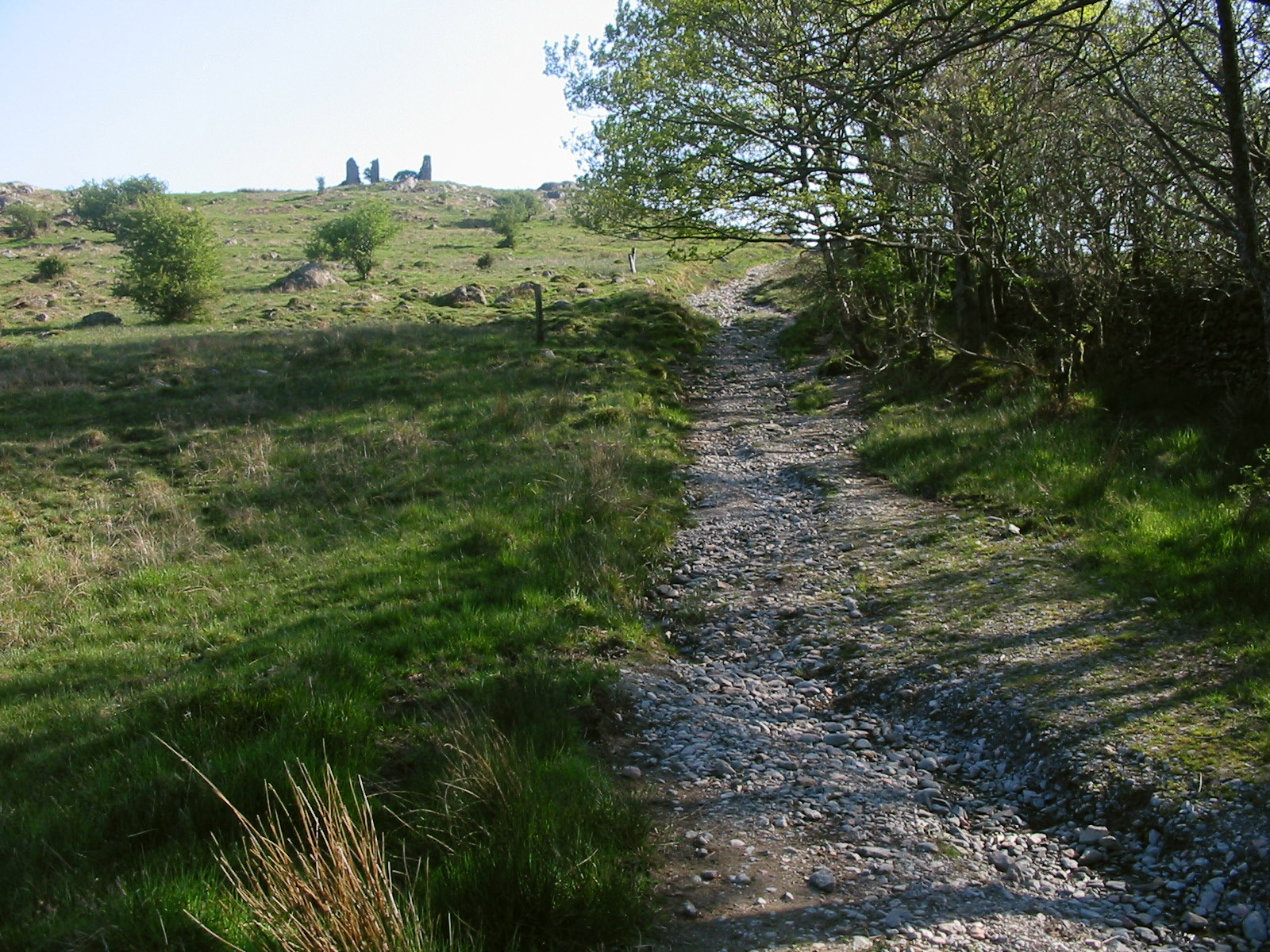
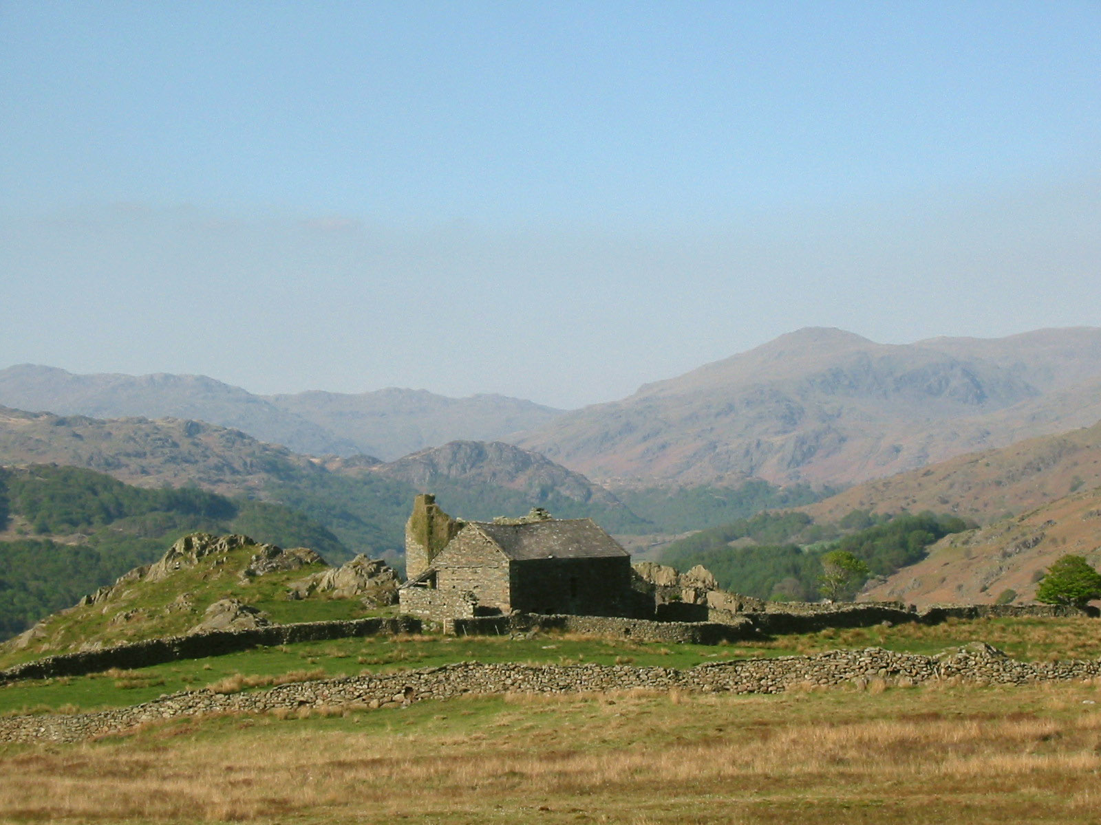
Looking up the old road to the ruins of Frith Hall
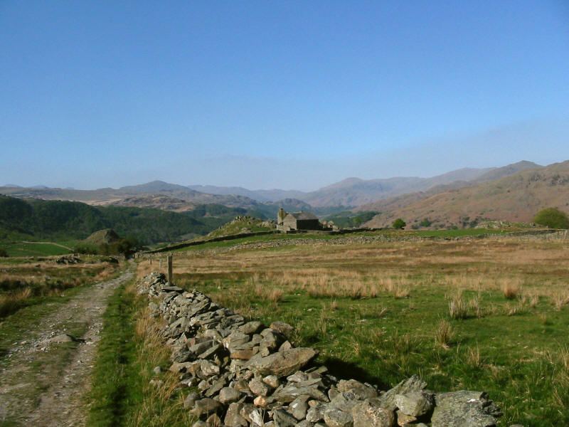
From further up the road, looking back past Frith Hall

A close-up. Frith Hall was built as a hunting lodge for the Hudleston family
from Millom Castle. Later it became an inn near the road up the valley. Later
still it became a farm, and now stands derelict.
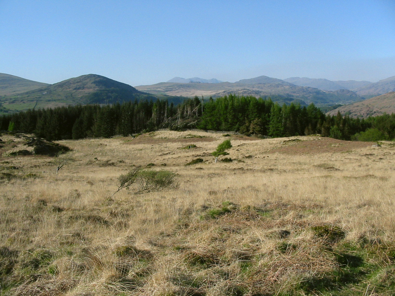
We then walked through forest to reach the open spaces of the diminutive hill
named Penn. There is a stile in the northern-most corner, and a gate (which can
be climbed though not opened) a few hundred metres to its south along the old
road.
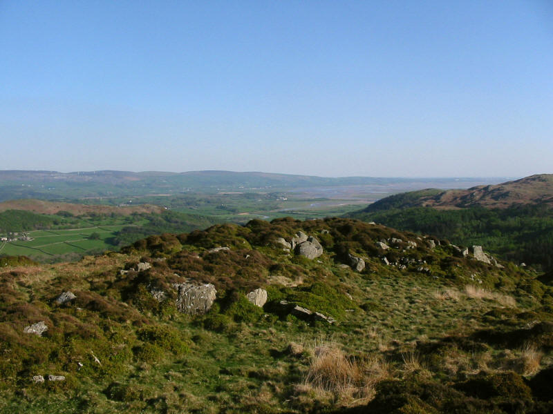
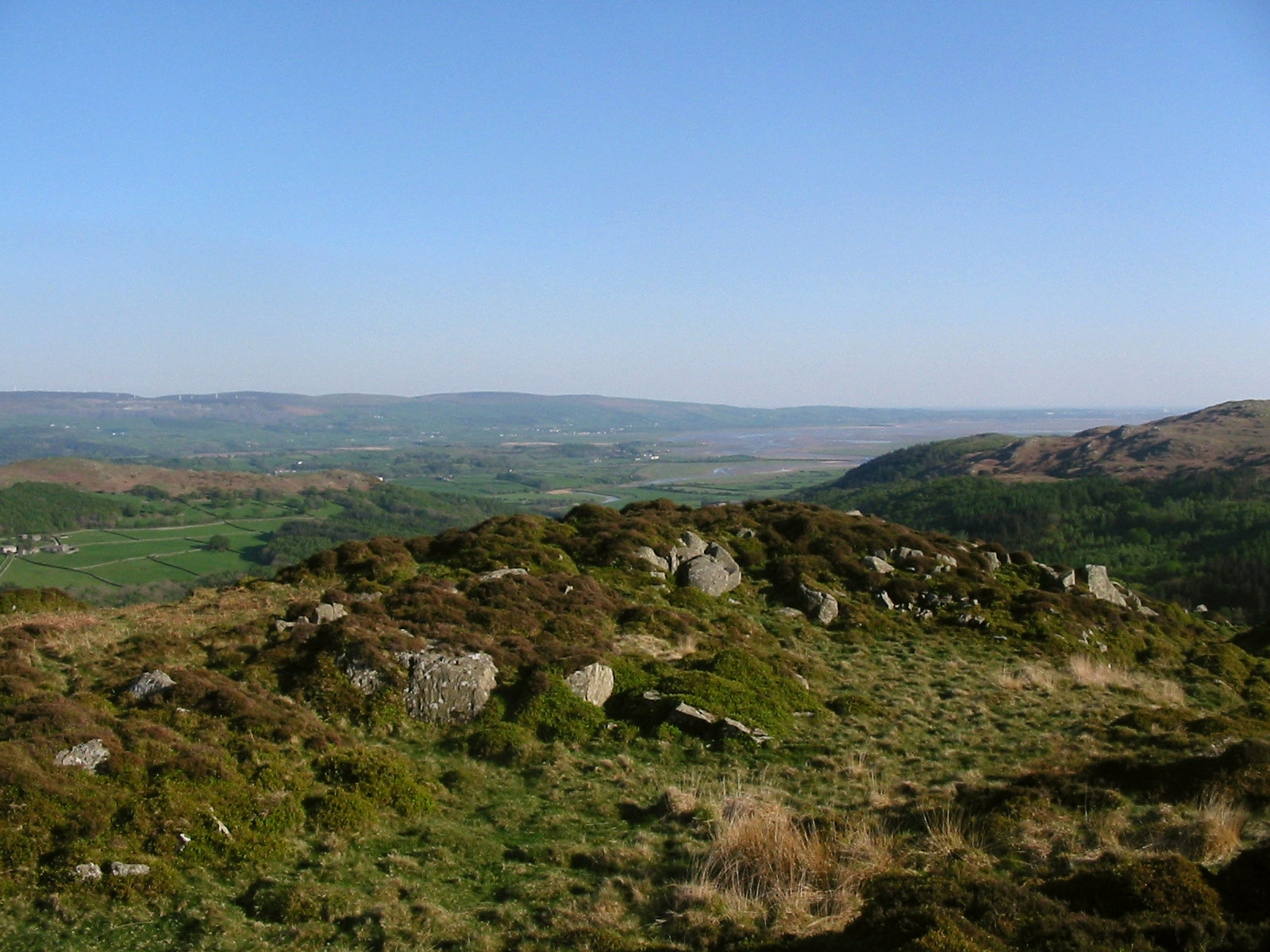
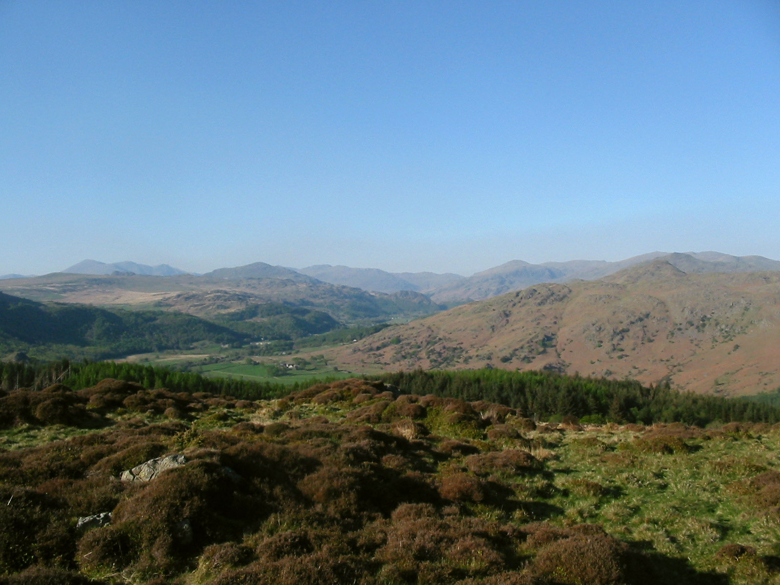
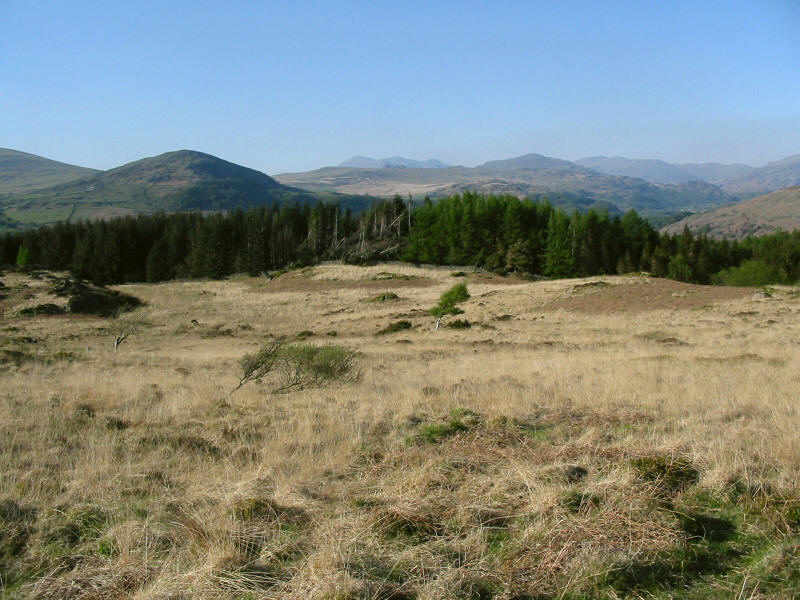
From the summit of Penn, looking towards the Duddon estuary.
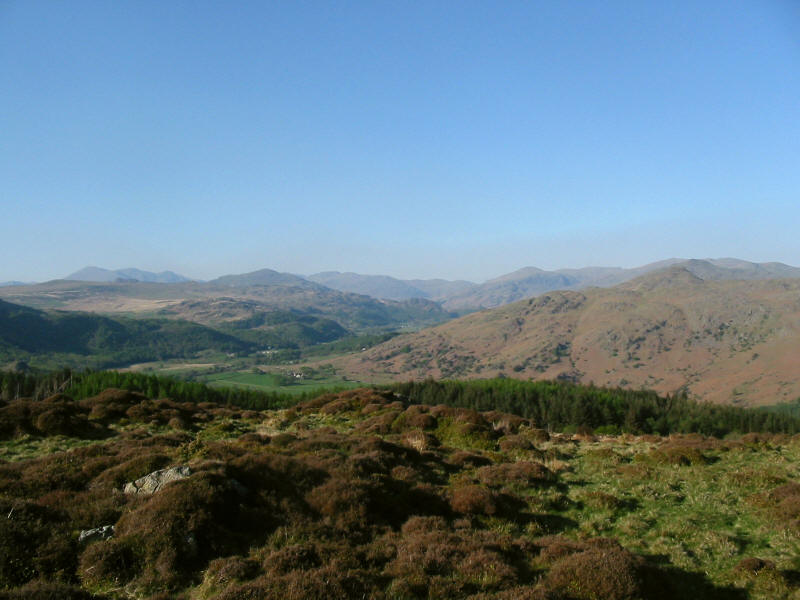
From the same spot, looking up the Duddon - the Scafells are on the left, Harter
Fell centre-left, and to its right are Bowfell and Crinkle Crags, the Langdale
Pikes, Pike O'Blisco, then Grey Friar rising into the rest of the Coniston Fells
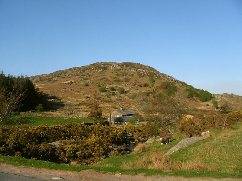
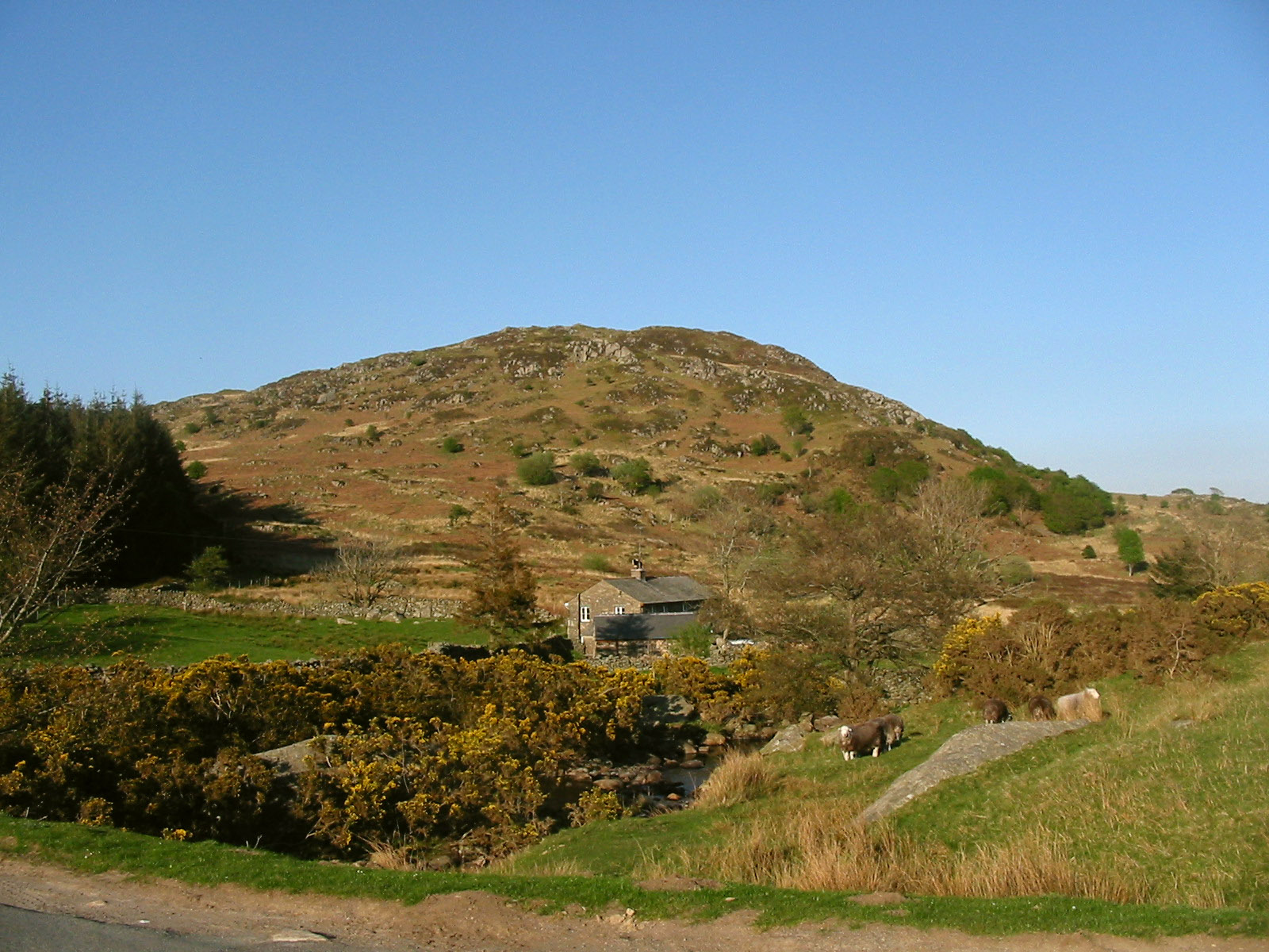
Back at the car, a final look at Penn.
The is a hill which has always attracted
my eye on journeys by car over the Corney Fell road, and it was good to visit it
at last. The GPS recorded a total of 8.14km and 317 metres of ascent, taking 2
hours 46 minutes including 46 minutes stopped.
Lake District holiday, April/May 2007
|
|