Walk to the south of Devoke Water, visiting White Pike,
Yoadcastle, Woodend Height and Seat How
29 April 2007
After a visit to the fells to the north
of Devoke Water a couple of years ago, today it was time to finish the job
with the fells to the south.

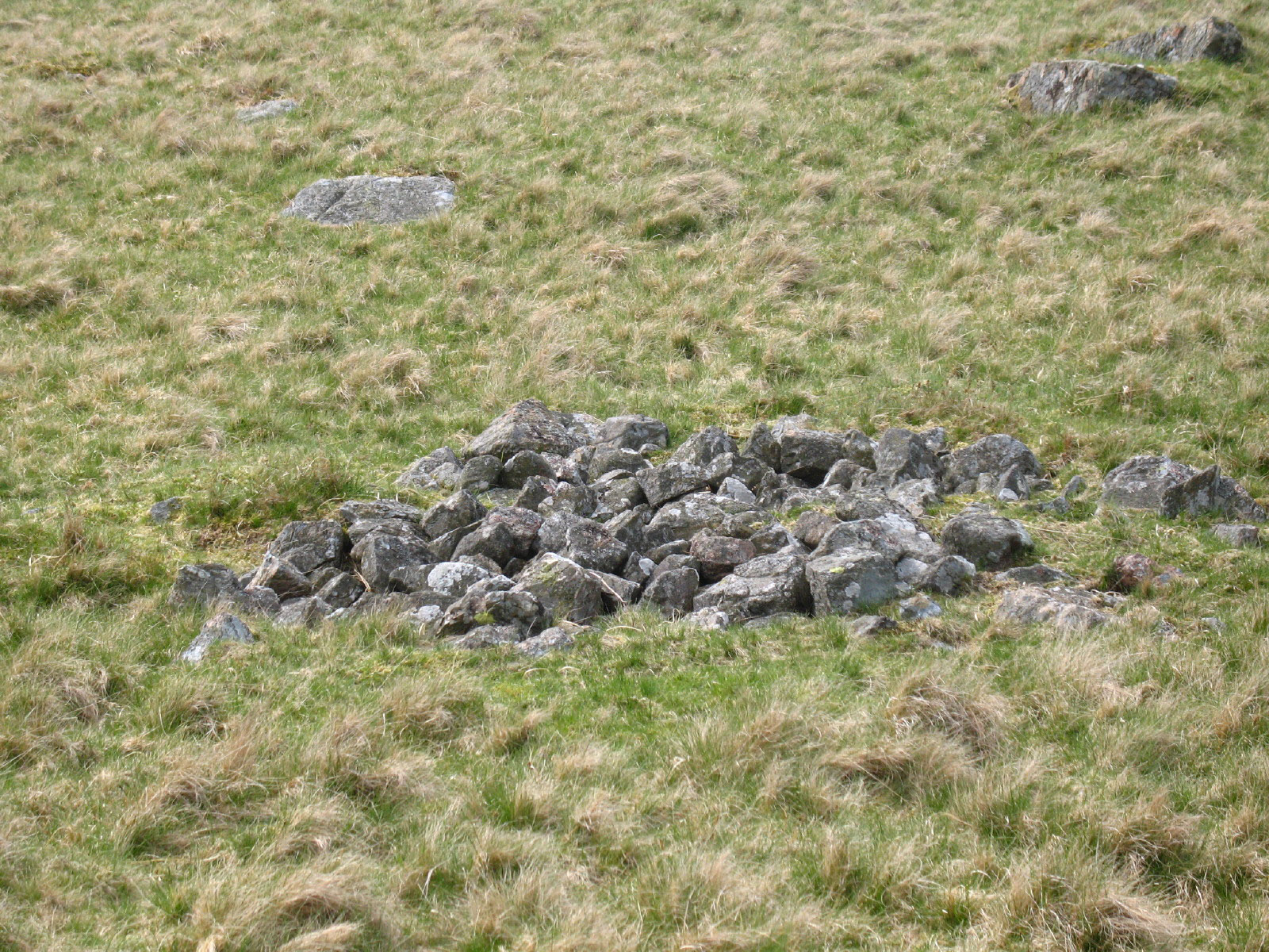
One of the many signs of ancient habitation on Birker Fell, one of those
"Cairns" in the ancient type that the Ordnance Survey uses in such
circumstances.
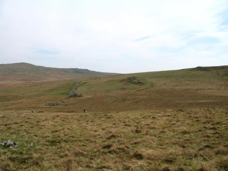
Motorcyclists making their noisy way along the track to Devoke Water
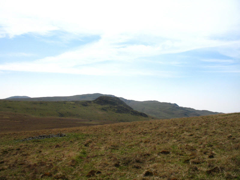
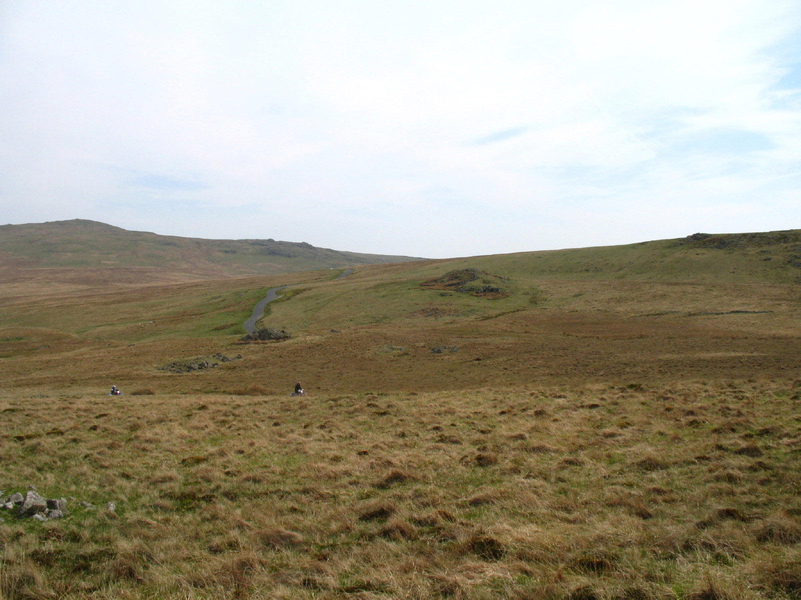
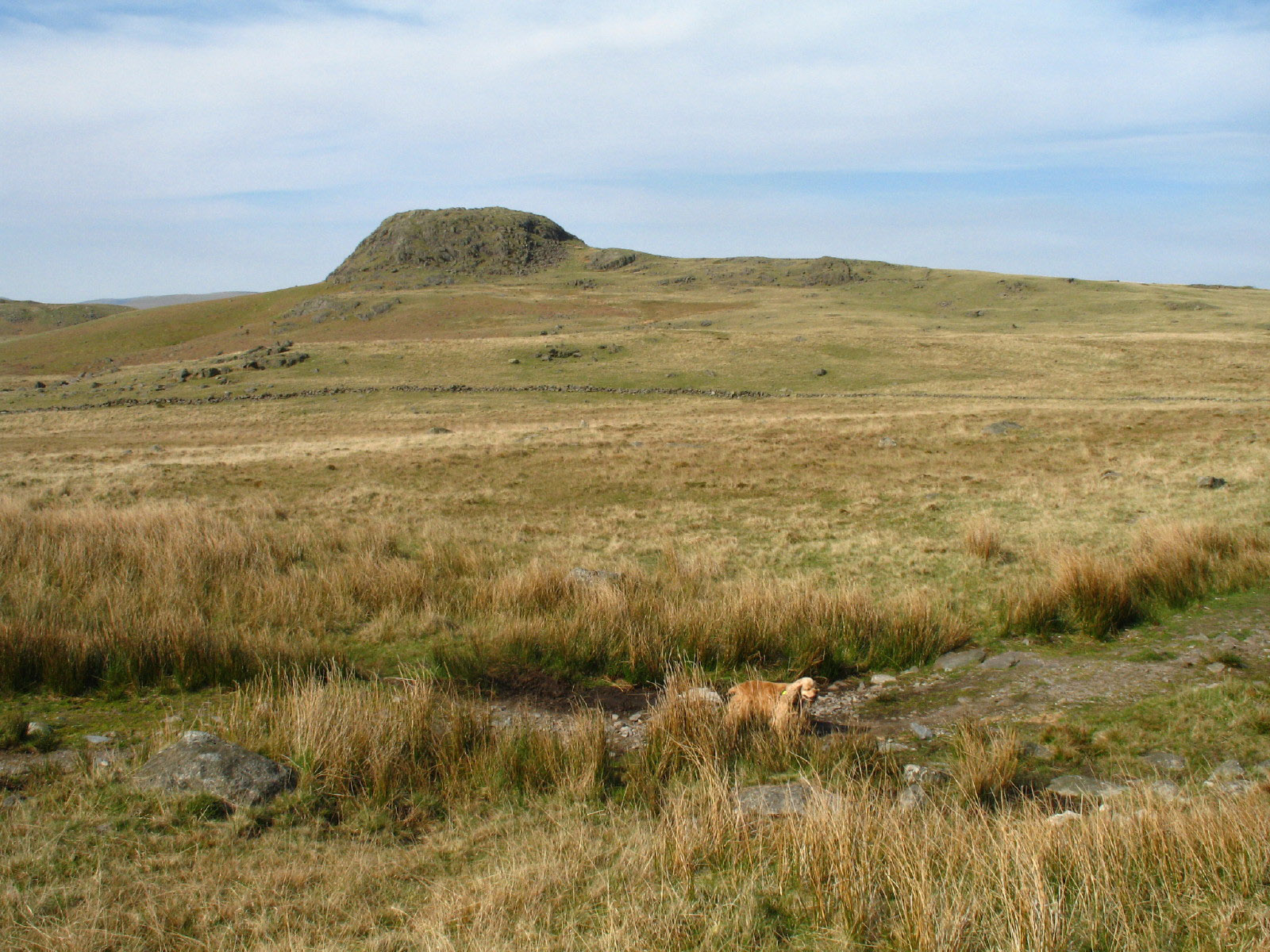
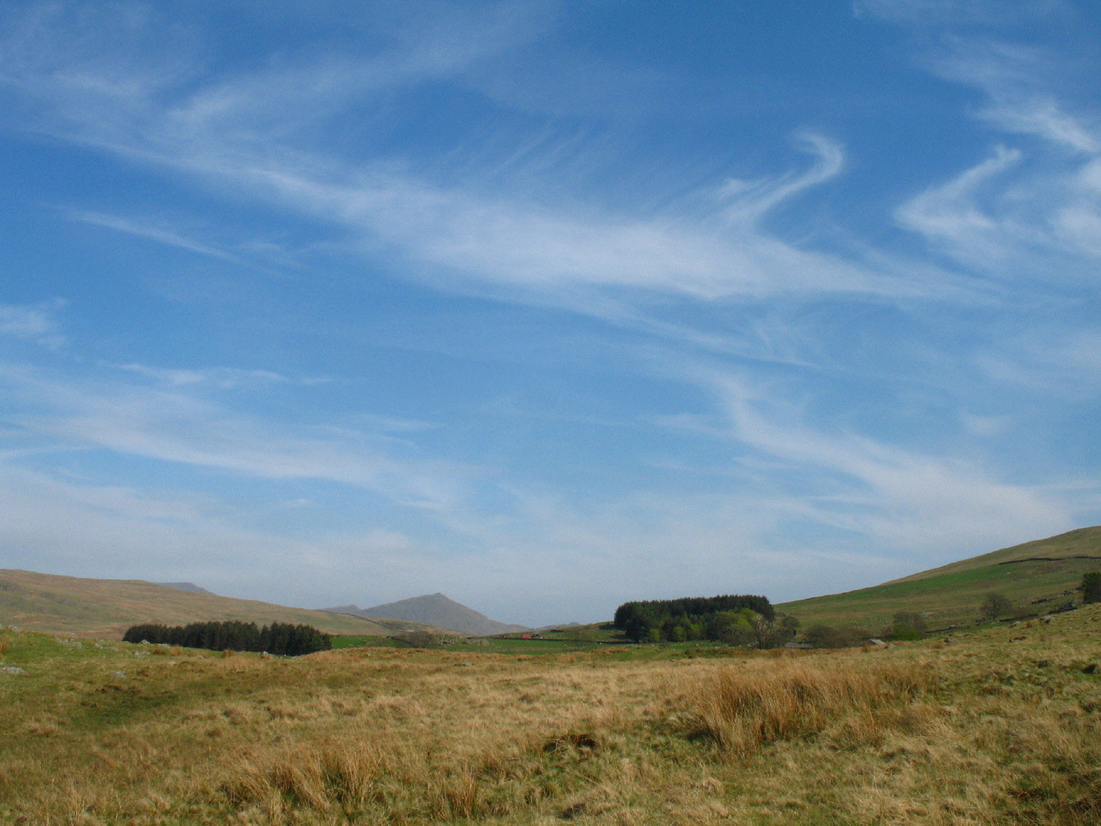
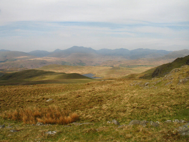
Looking into the sun, so not a good photograph, but it shows the objectives for
the afternoon, namely Seat How in the foreground, with White Pike and Yoadcastle/Woodend
Height behind it.
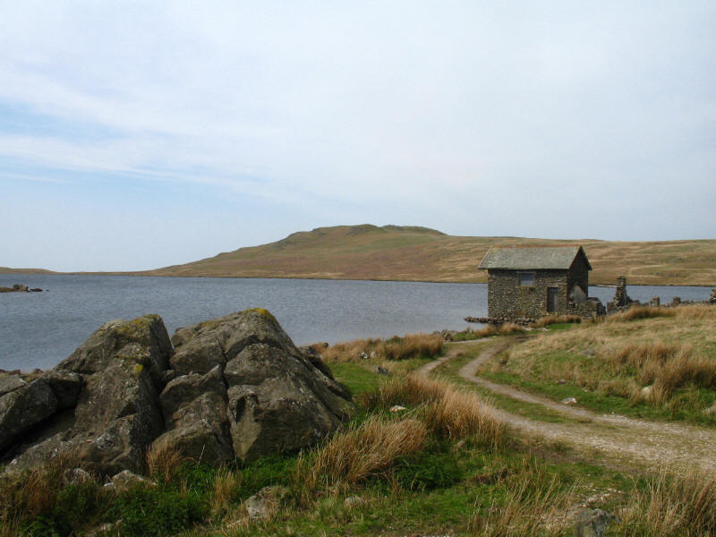
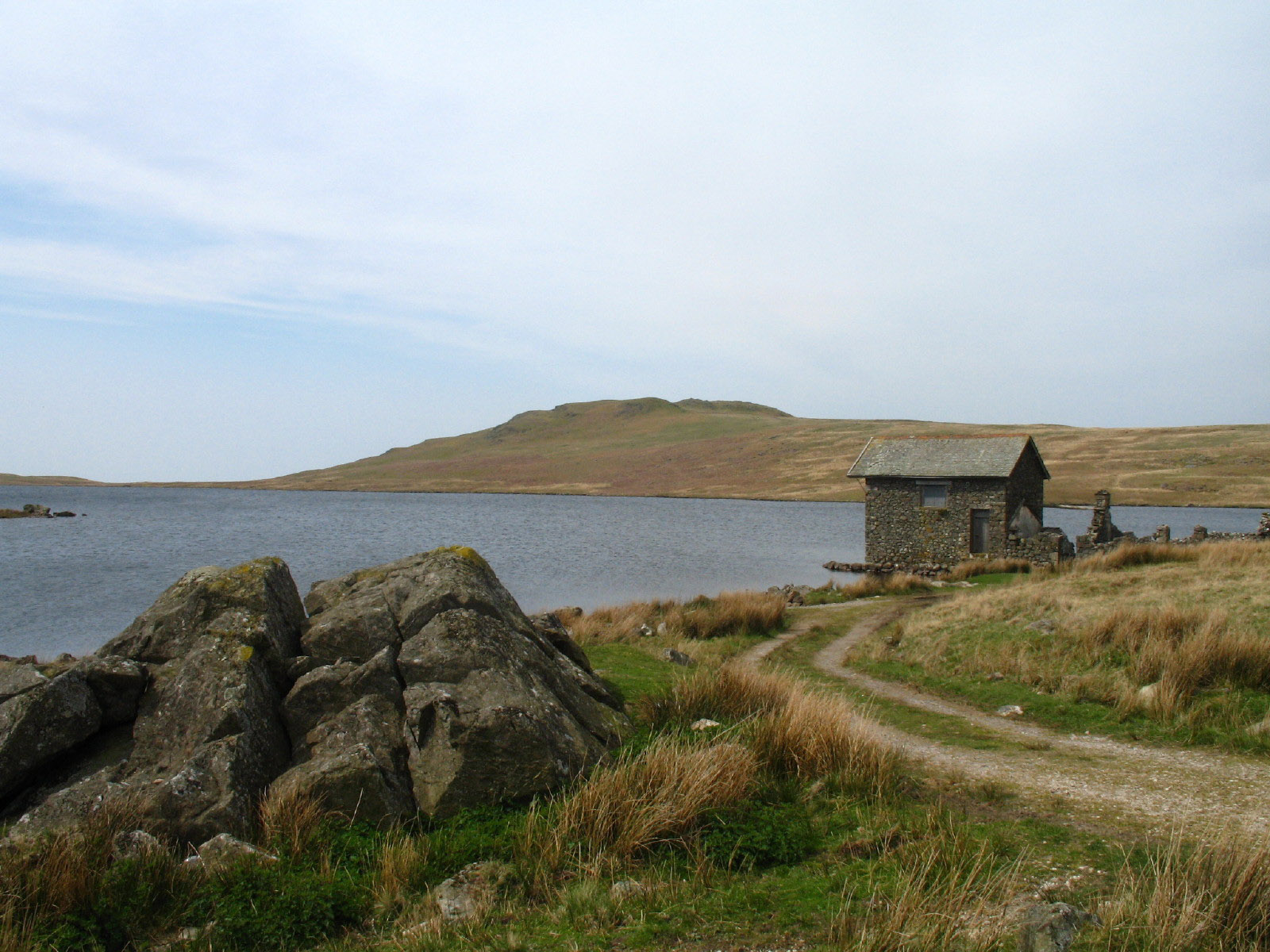
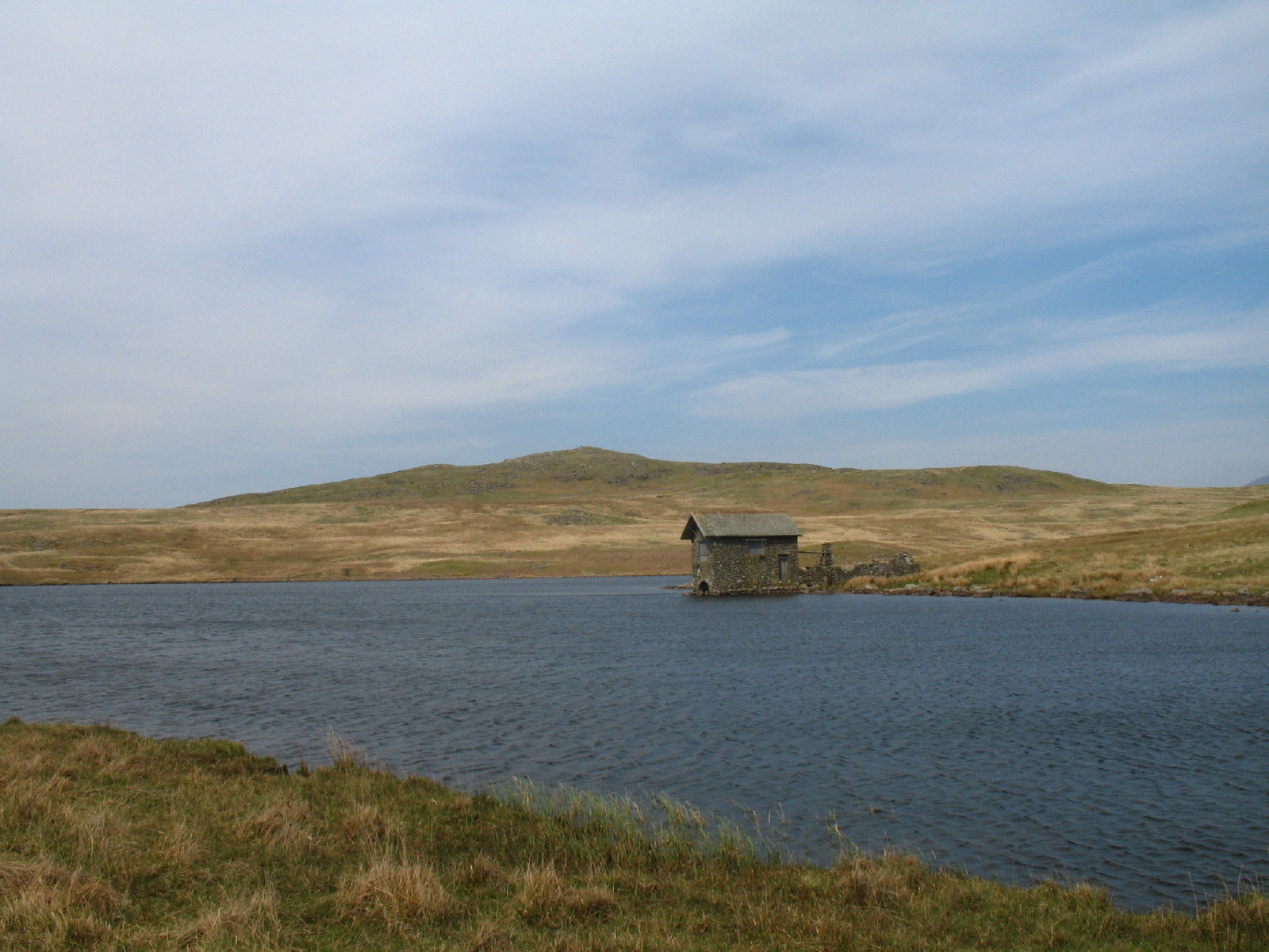
The boathouse on Devoke Water, with Water Crag behind it.

The boathouse again, with Rough Crag.

A look back to Seat How as we make our way along the southern side of the tarn.

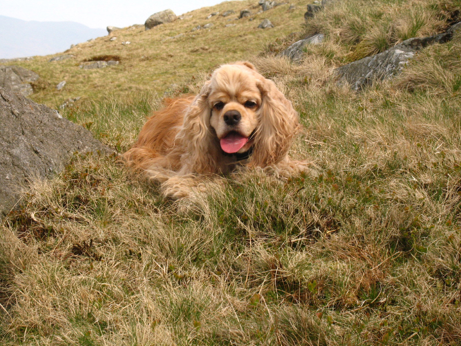
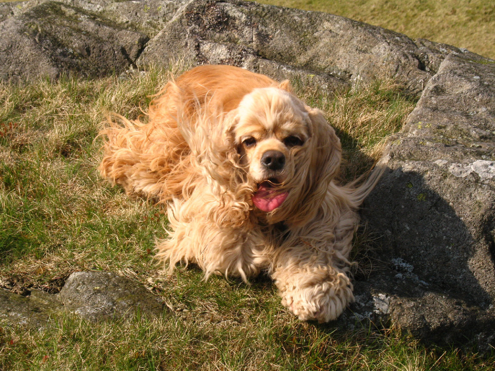
On the climb south, George pauses for a quick break.
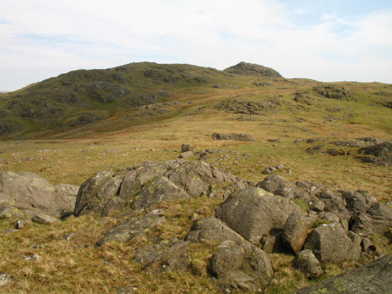
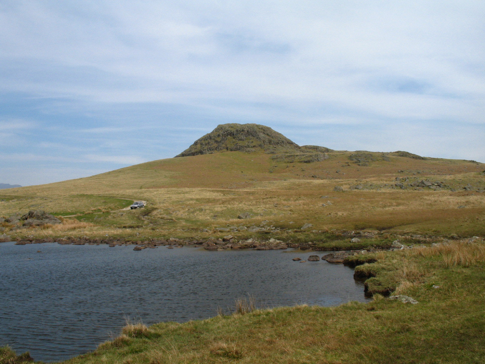
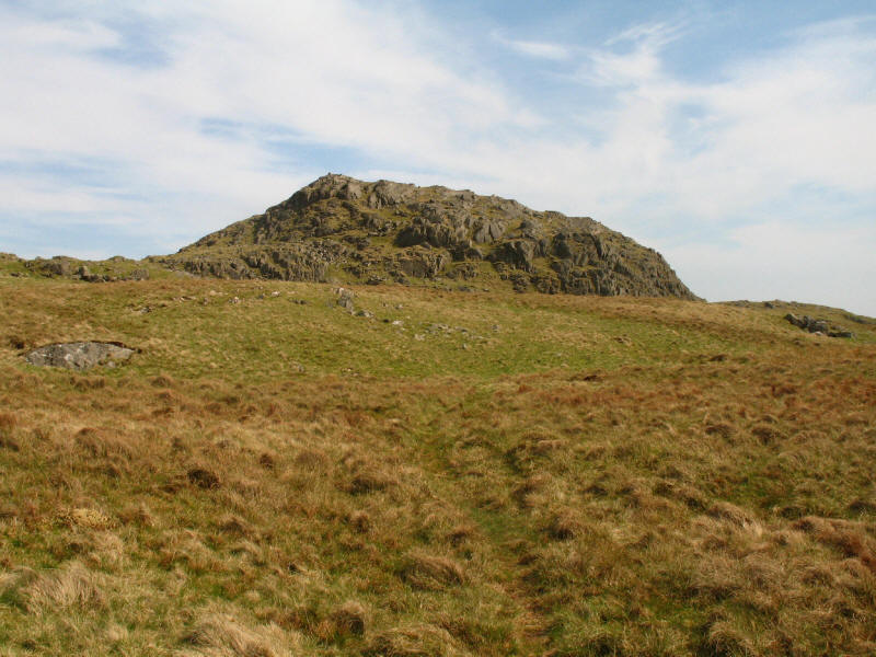
At the top of White Pike, a look to the summit of Yoadcastle.
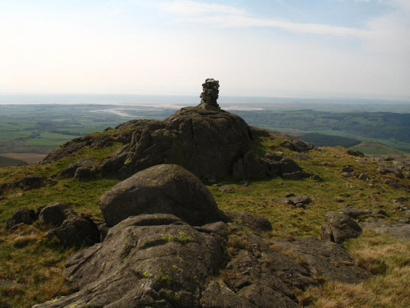
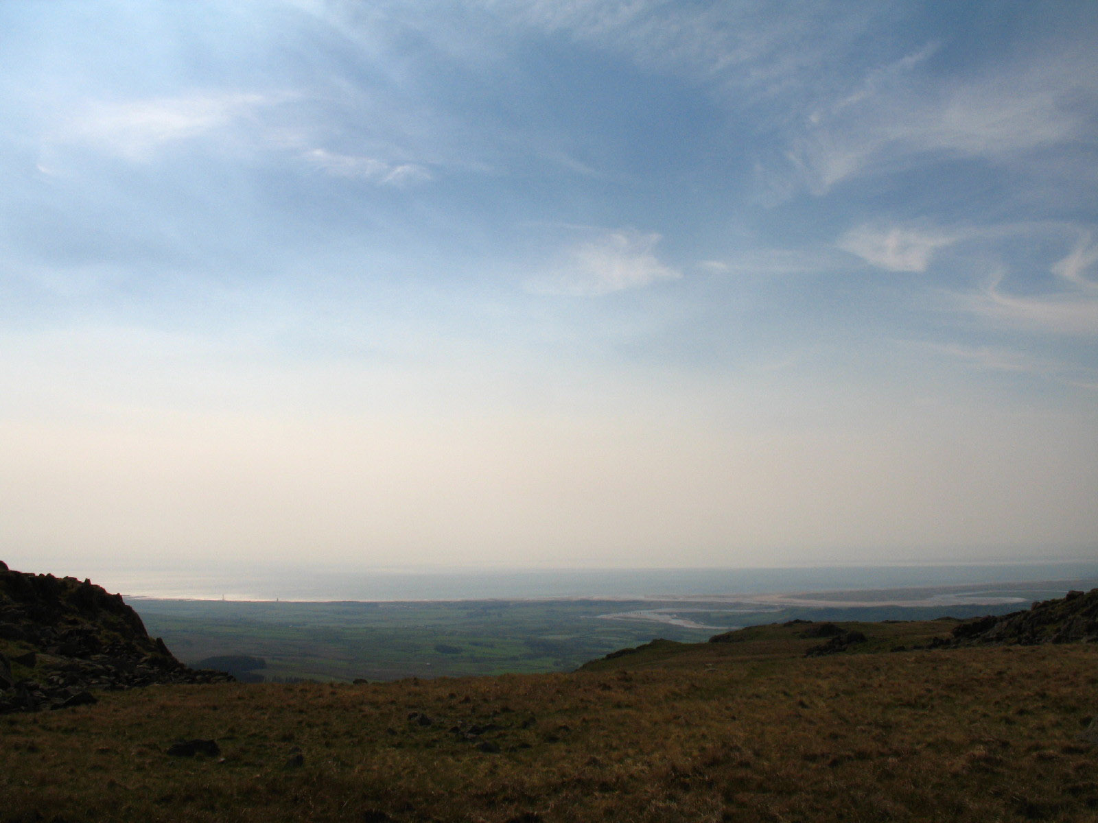
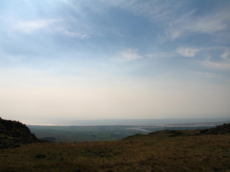
Cairn on White Pike, with the estuary of the Esk, Irt and Mite behind it leading
into the Irish Sea.
On the way to Yoadastle, a look across part of Devoke Water to the big fells
Approaching the summit of Yoadcastle
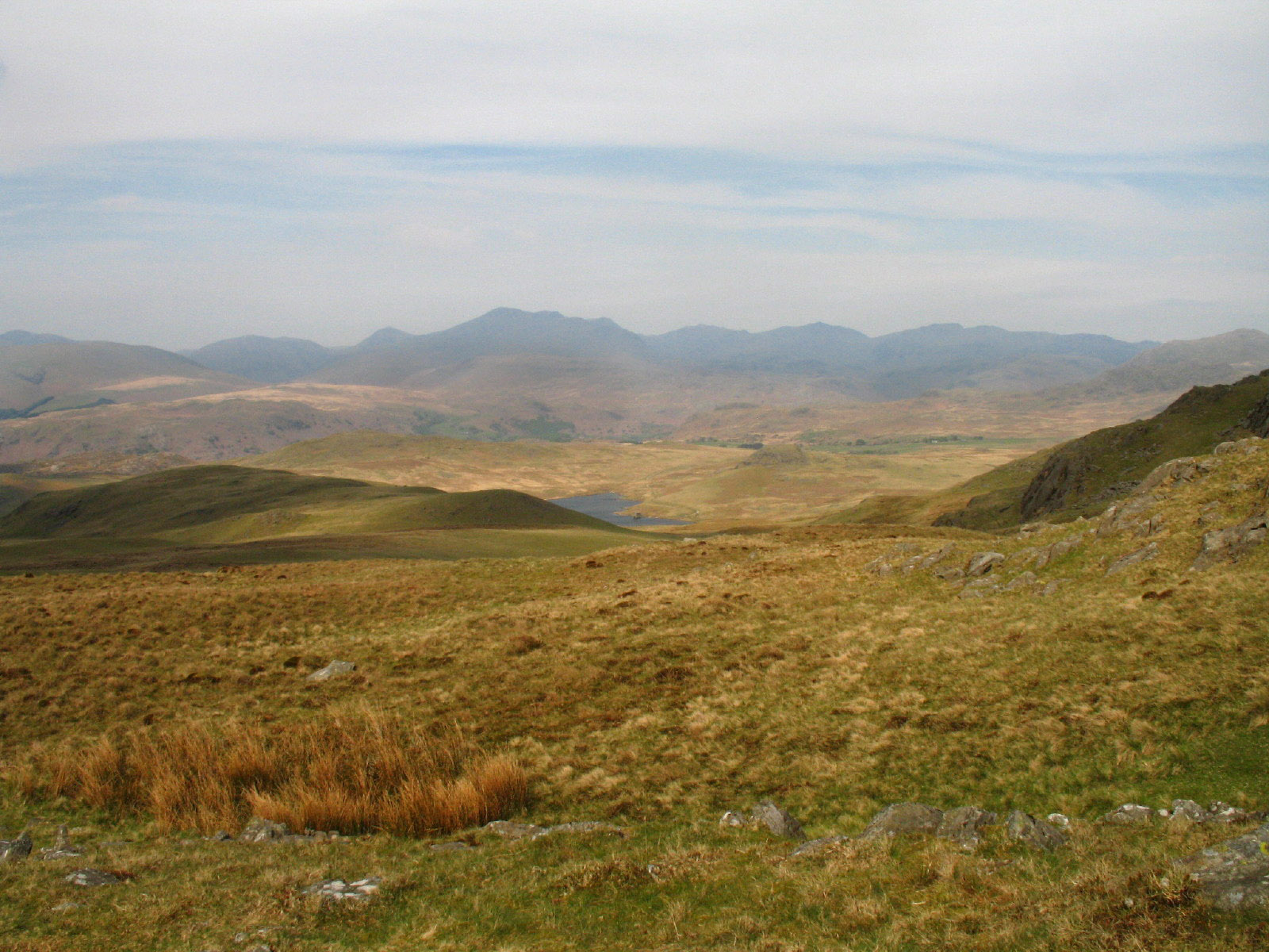
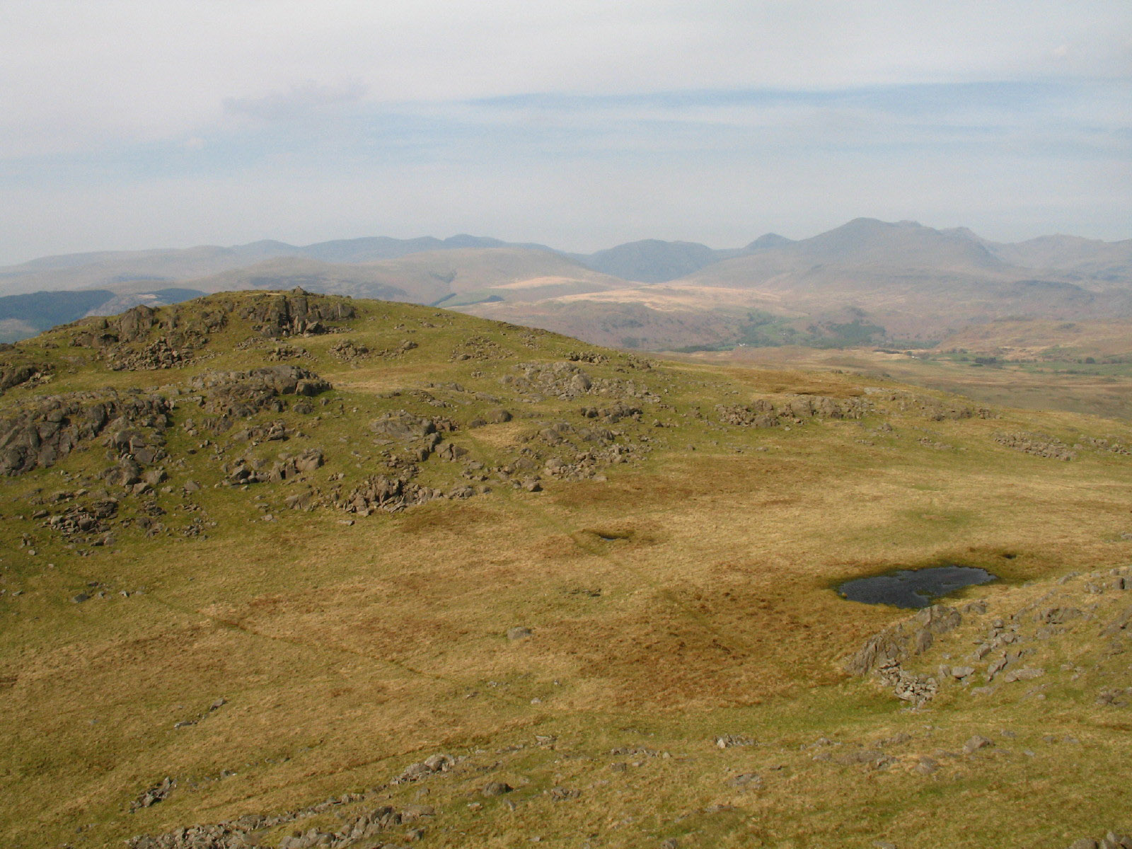
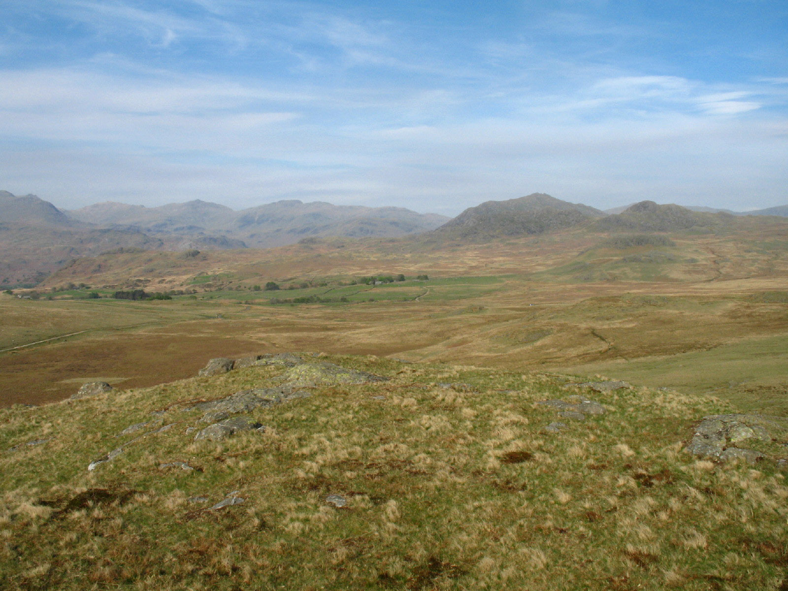
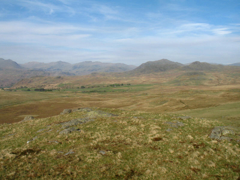
From Yoadcastle looking across a minor tarn to the summit of Woodend Height,
with the fells of Wasdale, Ennerdale, Eskdale and Langdale beyond
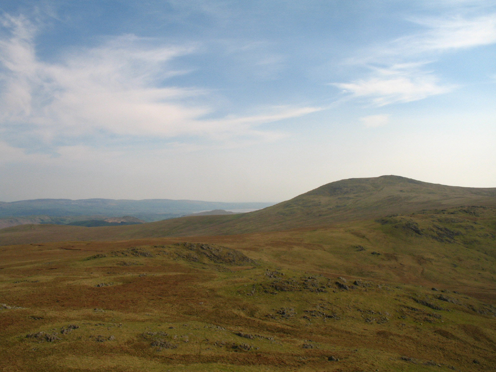
From Yoadcastle, looking to Whitfell with the Duddon estuary behind its eastern
slopes

George on Yoadcastle
The sea from between Yoadcastle and Woodend Height
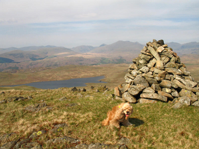
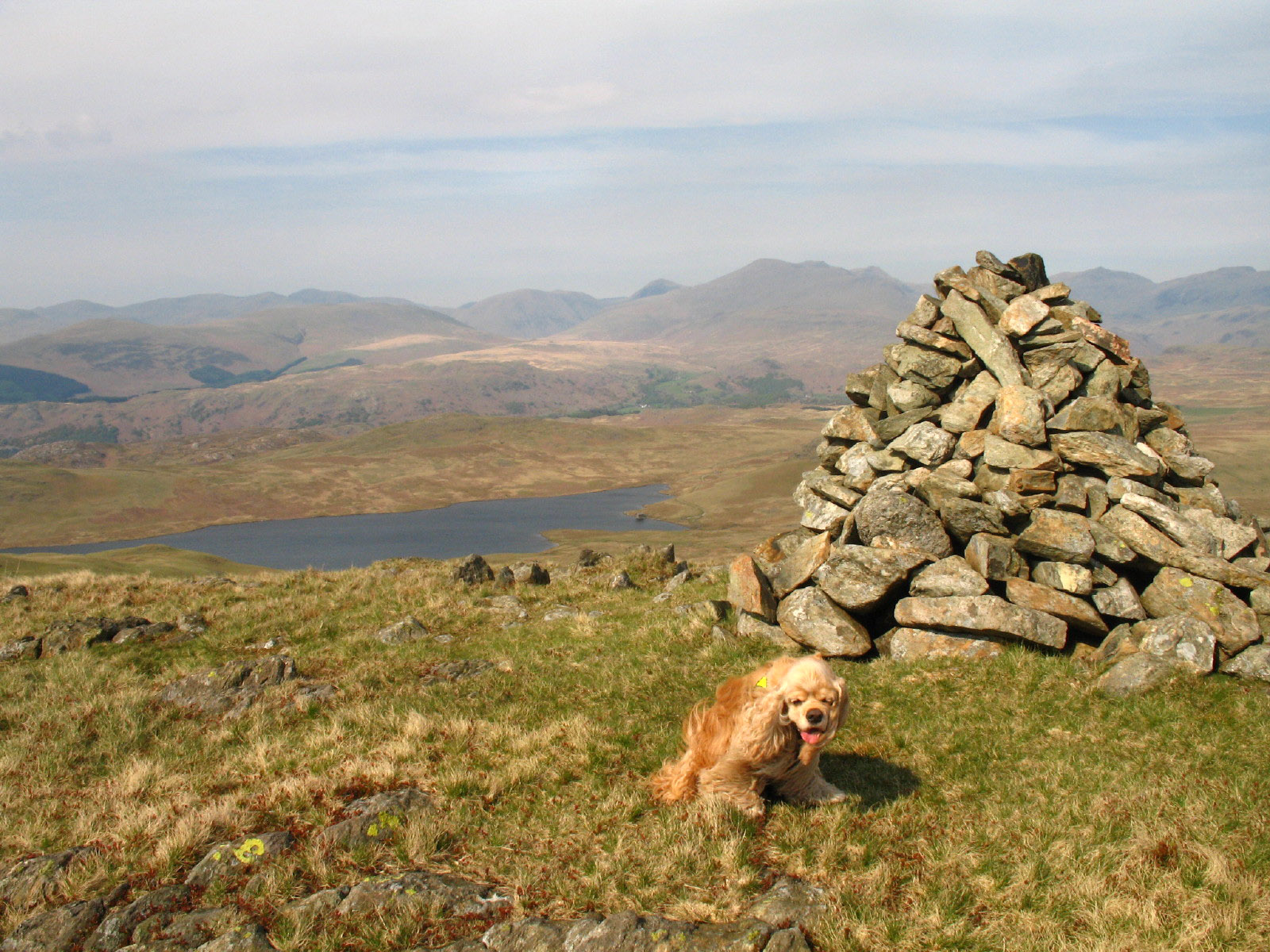
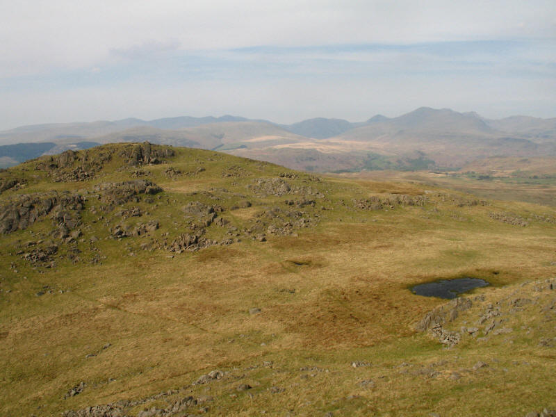
The summit cairn on Woodend Height with Devoke Water beyond
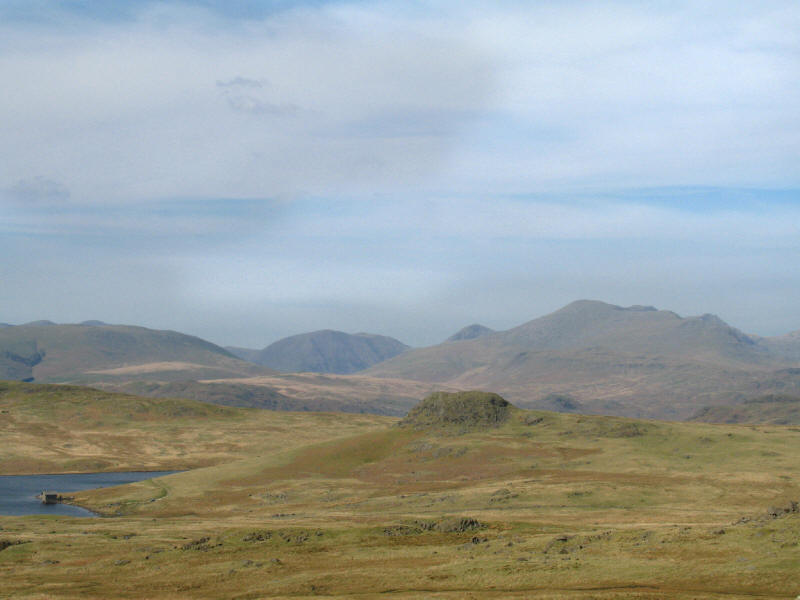
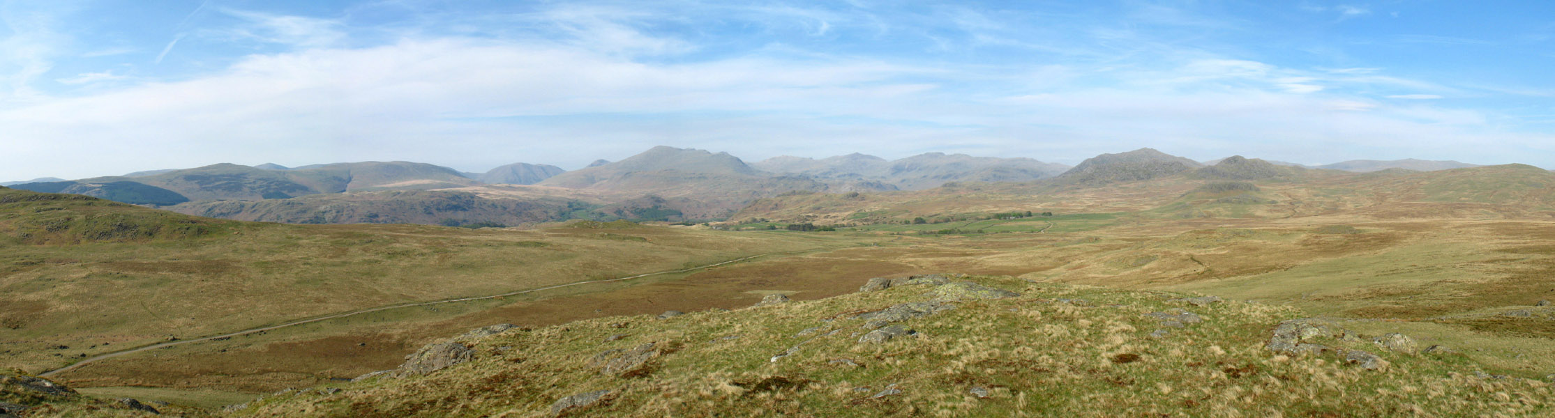
From the same point, a closer view of some of the big fells. On the left is the
"back" of Illgill Head with what is probably Pillar behind it; bulking
centre-left is Kirk Fell, with the top of Great Gable peeking above the long
slopes of Scafell which descends to the right to end in Slight Side; Scafell
Pike can just be seen peeking over the top of the Scafell ridge.

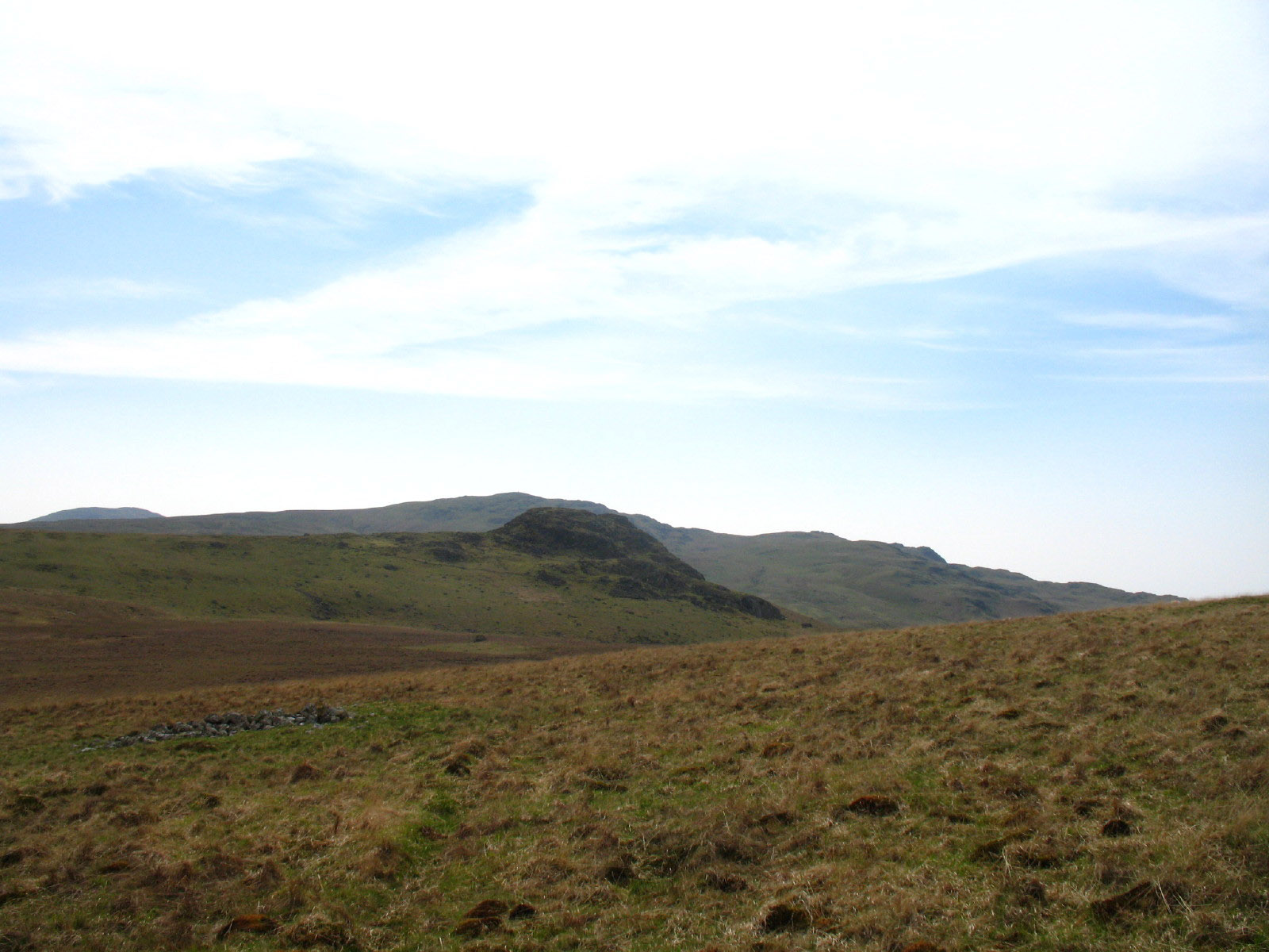
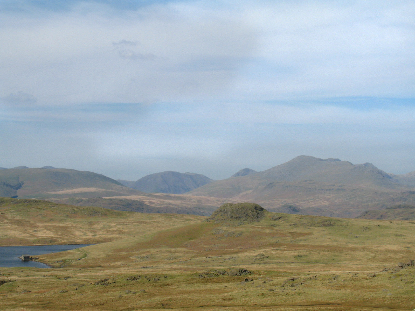
As we descend from Woodend Height, another view of Seat How

George waits at the crossing path from Woodend farm to Devoke Water, as we near
Seat How

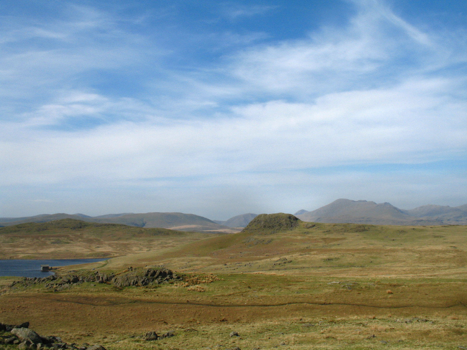
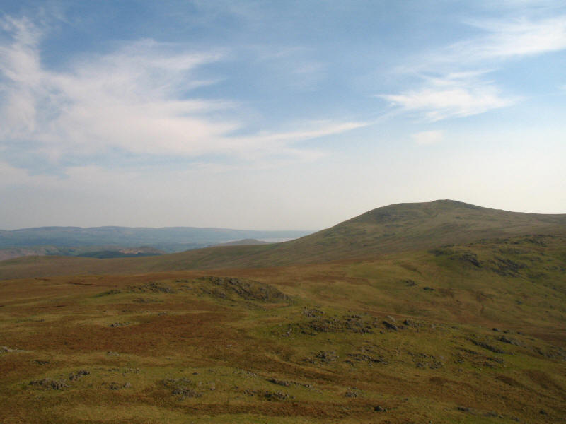
Looking towards Woodend farm, with the shapely peak of Caw visible.
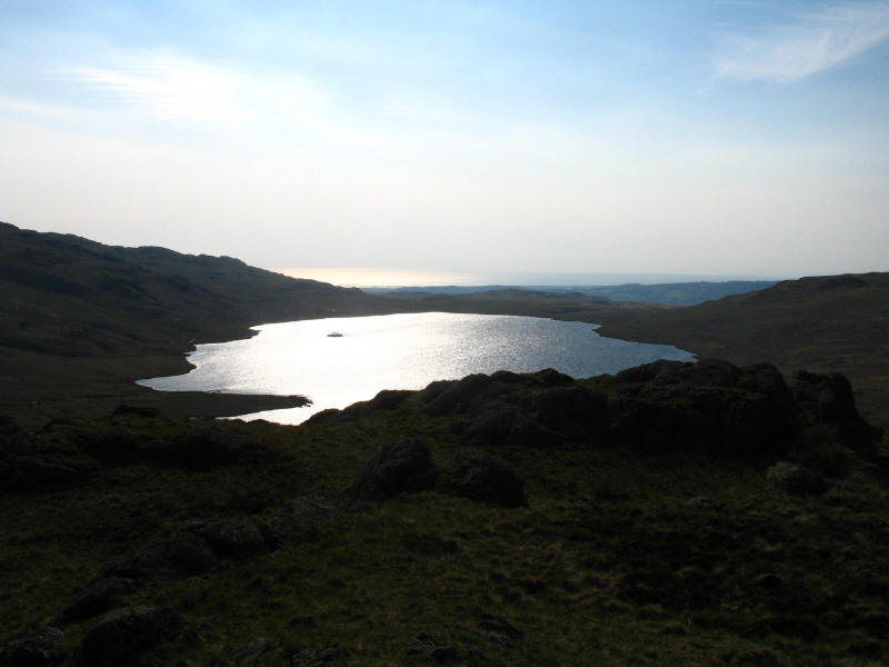
From Seat How, the shining sun on Devoke Water
From Seat How, looking across Birker Fell and the green cultivated fields of
Birkerthwaite in the middle distance, with the Eskdale fells centre and left,
and Harter Fell centre-right with Crook Crag almost invisibly merging in front
of it, and Green Crag on the right.

A panoramic shot from the same point
An interesting and enjoyable though largely pathless walk. The GPS recorded a
total of 8.16km and 407 metres of ascent taking 3 hours 26 minutes including
1 hour stopped
Lake District holiday, April/May 2007
|
|