A walk with Ancient Britons on Boat How
17 August 2008
The hope that the morning's low cloud would lift
didn't look like being fulfilled, and so another moderately low level
walk was in order for this afternoon, and the upland between Boot in
Eskdale and Burnmoor Tarn was selected.
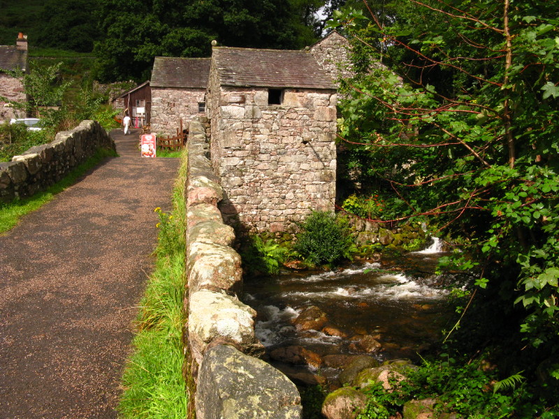
What was to prove a rare patch of sunshine illuminates the ancient watermill in Boot - somewhere I've passed several times but not gone in, a fault I must rectify soon.
It is believed to be the oldest working corn mill in the country. It
ceased commercial operation in 1955, but was restored and opened in
1976.
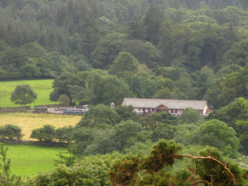
Ascending the fellside, a look back to the Ravenglass and Eskdale Railway, where there is the less inspiring sight of a diesel locomotive rather than their splendid steam locos, but what the diesel lacks in character it is making up for in volume, hooting away like anything.
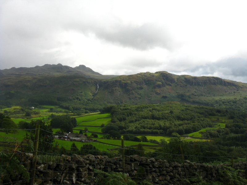
The crags lining the southern side of Eskdale, with Green Crag (seen on this morning's walk) behind.
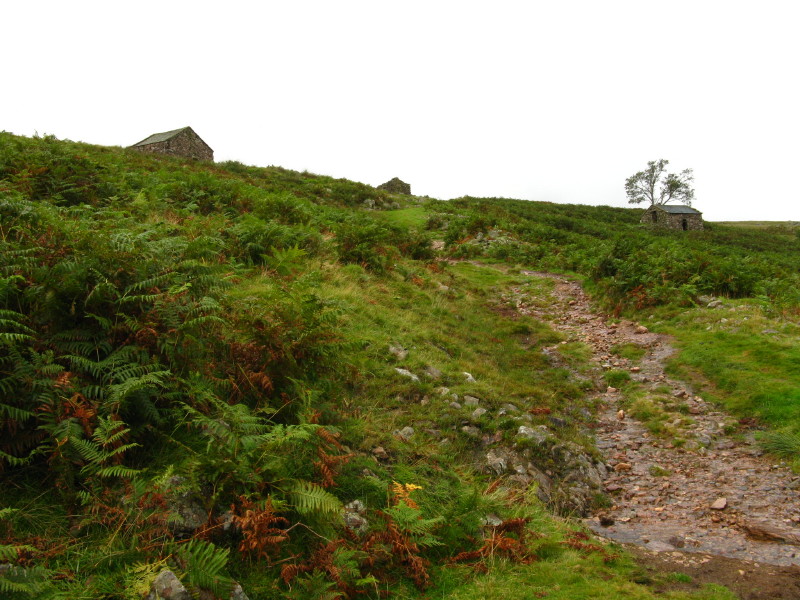
As I emerge onto open fell, there are six buildings in various states of (dis)repair, all presumably used for peat storage and this path used for hauling the peat down to the village for burning.

Looking across the grassy plateau to the high point of Boat How
Although vaguely aware that there are ancient remains on Boat How, I hadn't really thought about them in planning this walk, and so it was a quite wonderful walk of exploration and discovery to stumble across them.
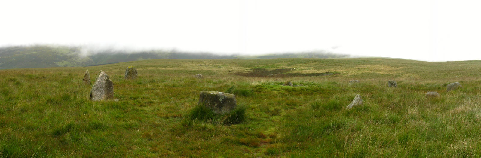
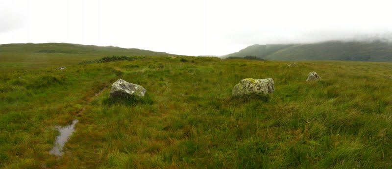
This is the Brat's Hill circle, the earliest of the five circles on the
moor, dating from around 2000BC. It is 30 metres across and comprises 40
stones of which seven are still standing.

This is a 360° panoramic shot, taken from the centre of the circle.

What I really needed, though, was an archaeologist as a walking companion to tell me what I was seeing.
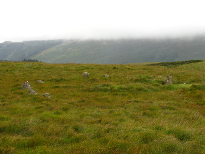
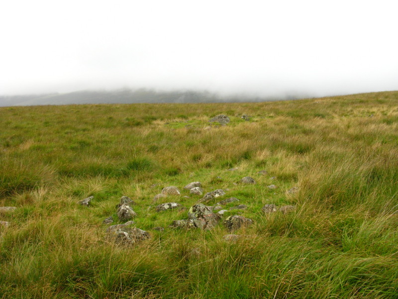
This is one of the two White Moss circles. This, the NE circle, is 16
metres across and is the most complete, with all 11 of its stones still
standing.
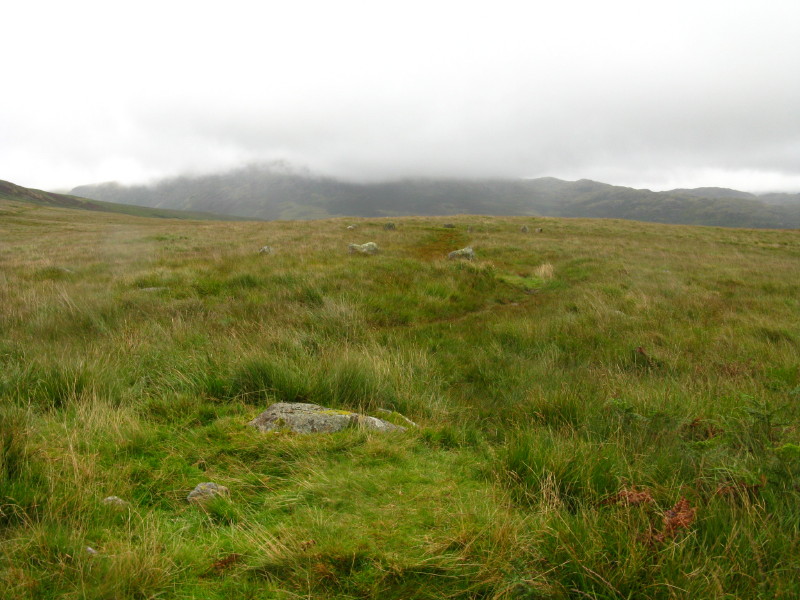
There were several stone circles, plus lots of little mounds which I
think are burial cairns. This picture is from the second of the two
White Moss circles, looking back to the first.
A couple of ancient piles of stones
One of the Low Longrigg circles
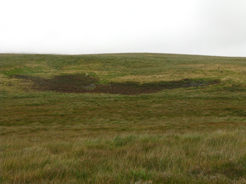
More burial mounds.
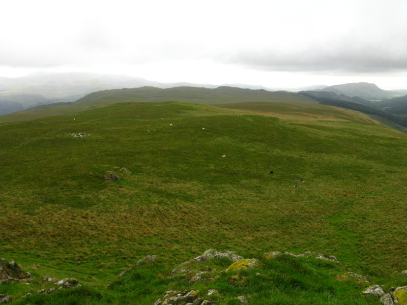
From the summit of Boat How, looking south-west
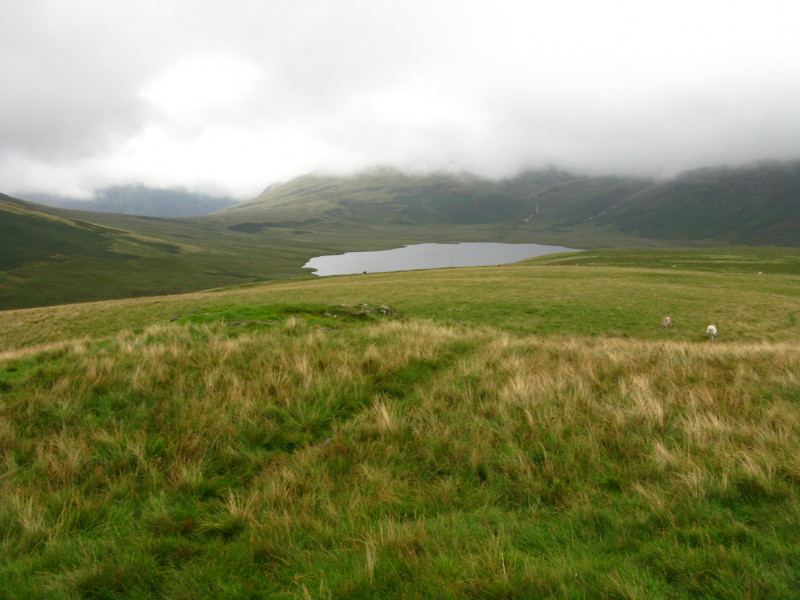
I then gradually descended this trod towards Burnmoor Tarn, behind which in the clouds lies Scafell
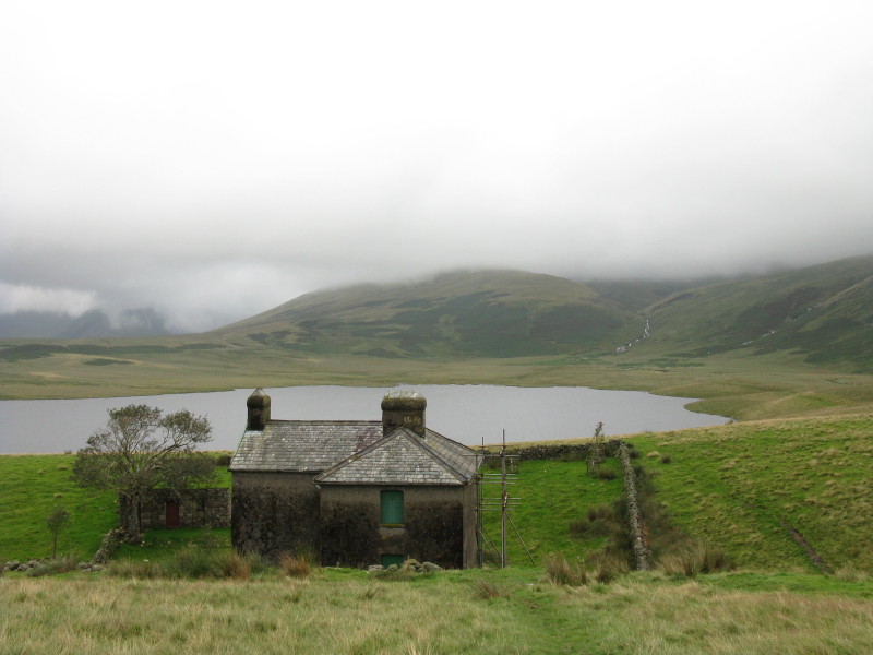
Burnmoor Lodge
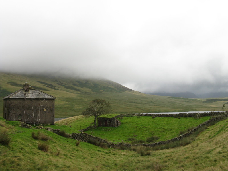
The Lodge with its walled garden - I wonder what needed keeping in (or out)
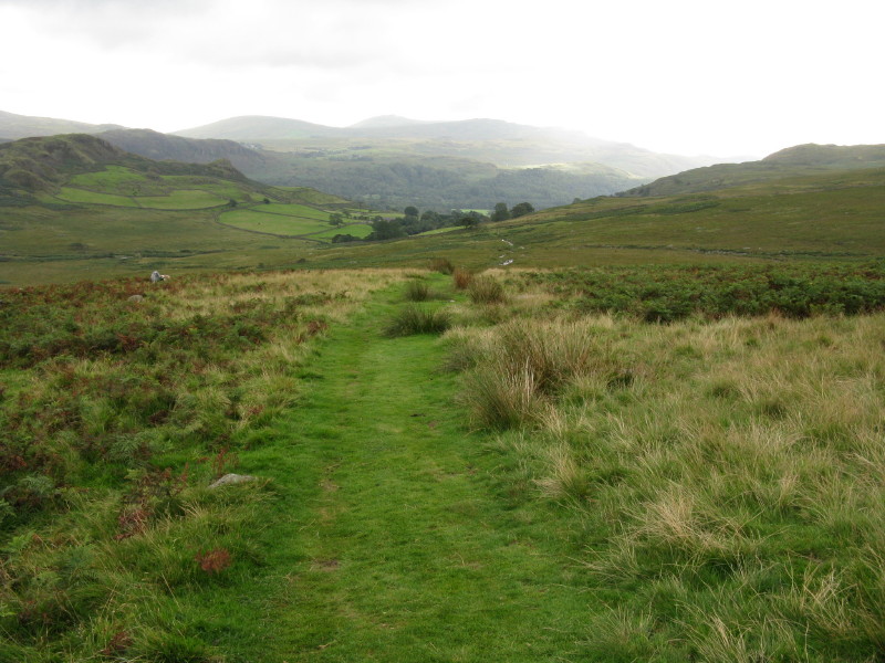
Descending along the corpse road back to Boot - a delightful grassy section
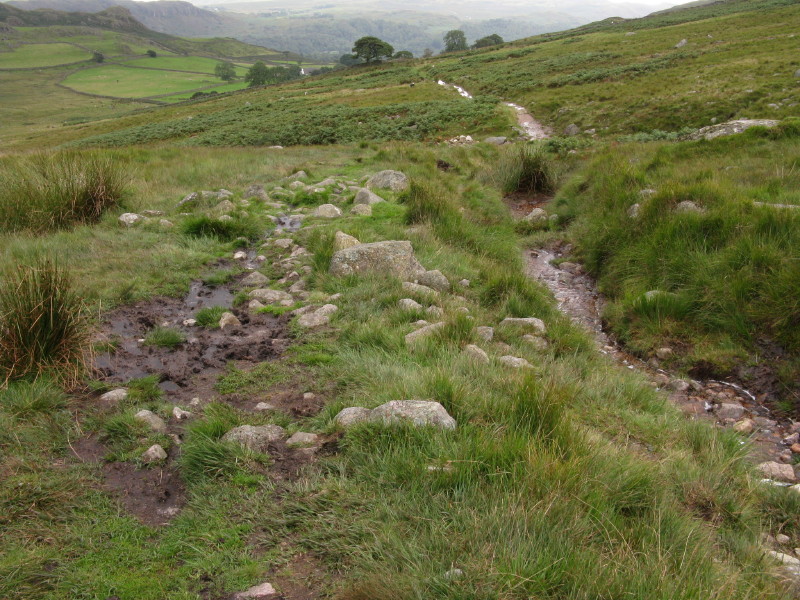
And a badly eroded section, right, now being surplanted by a new route on the left bank, which is itself starting to erode. This path is in need of some serious attention in several spots, but I'm not sure whether it counts as a high level path under the 10-year path repair programme.
Time to continue through Boot back to the car park at the railway
station and get a delicious ice cream, eaten while watching the train
depart for Ravenglass.
Zoom in for more detail, or see map in larger window: Ordnance Survey |
Open Street Map |
Google Maps
An unexpectedly fascinating walk, though one calling for more knowledge to bring
out its best.
Total distance 8.6 km with 309 metres of ascent in 2 hours 30 minutes.
Lake District holiday, August 2008
|
|