Great Worm Crag
17 August 2008
A shortish morning walk was planned, with George, and
mostly on grass, to leave open the option of a longer afternoon walk
without him if the weather improved. His stiff legs and sore pads have recovered after Friday's long walk - he just got a short walk around the village yesterday, but a shortish walk this morning still seemed sensible. Another of the interesting minor
summits accessible from the Birker Fell road was selected.
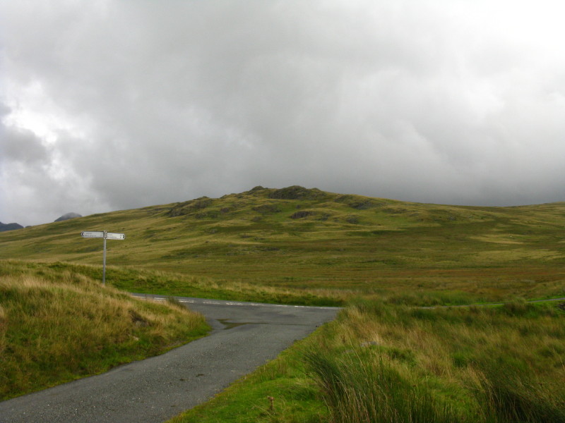
From the end of the Woodend road, a view to Rough Crag (not to be confused with the Rough Crag just a couple of kilometres away north of Devoke Water), behind which lies Great Worm Crag.
After a walk along the road almost back to the cattle grid, we find a grassy trod just west of the beck, which leads us first to Rough Crag; Great Worm Crag is on the right of the picture.
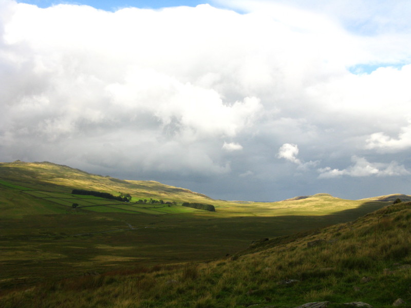
Patches of sunshine light up the fells around Devoke Water
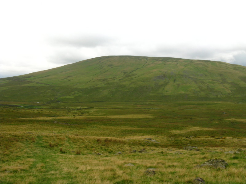
Behind us is the great pudding basin of Hesk Fell
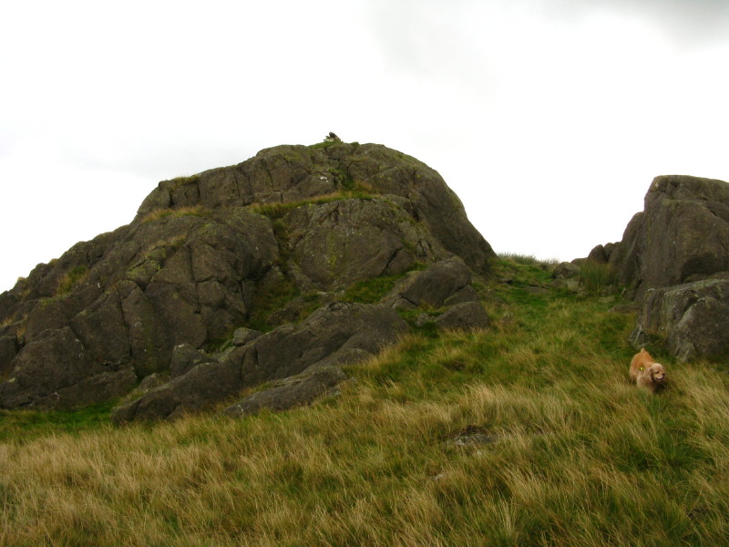
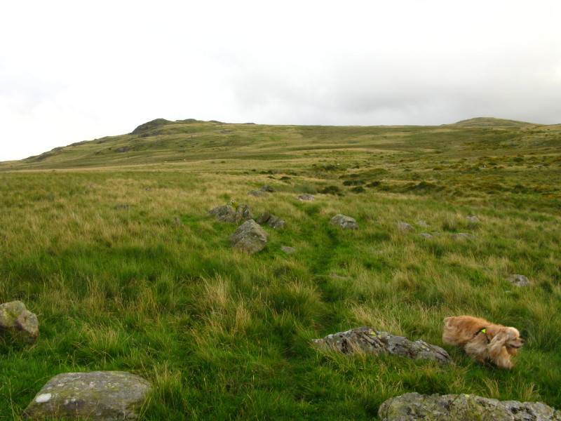
George explores the environs of the summit of Rough Crag
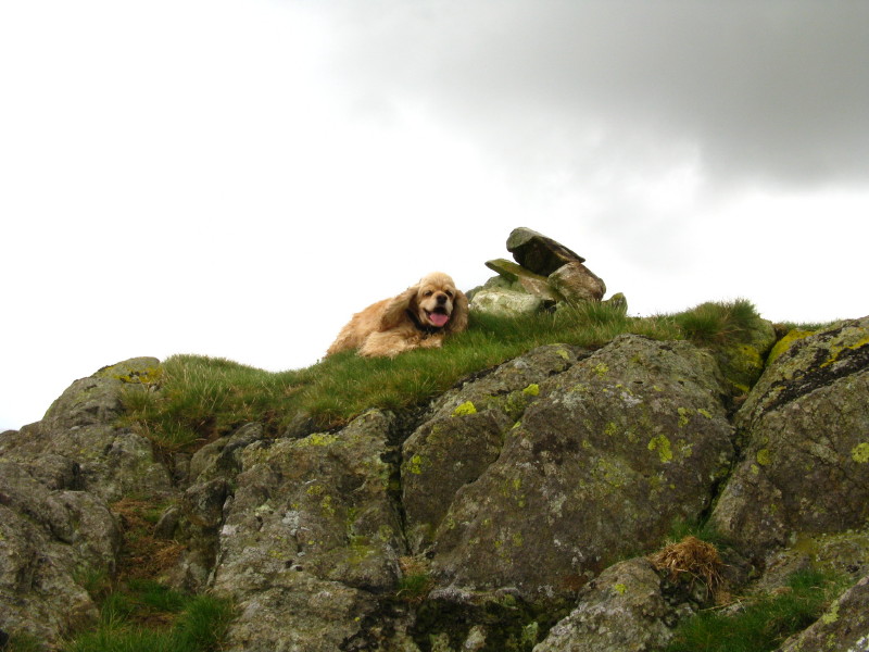
And with his usual confident scrambling is soon at the top.
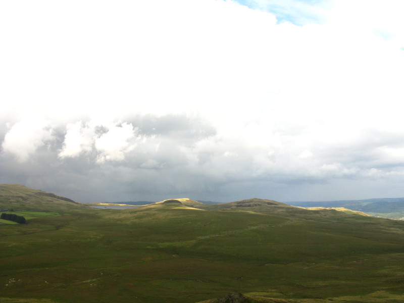
From Rough Crag, another look to the Devoke Water fells as they receive another patch of sunshine. The "other" Rough Crag is centre-right; in the middle, Water Crag lurks behind Seat How, to the left of which Devoke Water itself can be seen.
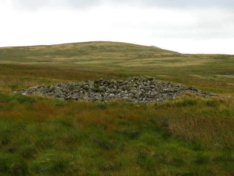
An ancient tumulus on the way to Great Worm Crag
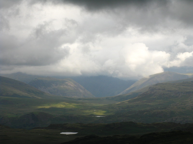
From Great Worm Crag, looking across the intervening low ground and tarns into Wasdale, with sunshine on the slopes of Yewbarrow and Lingmell
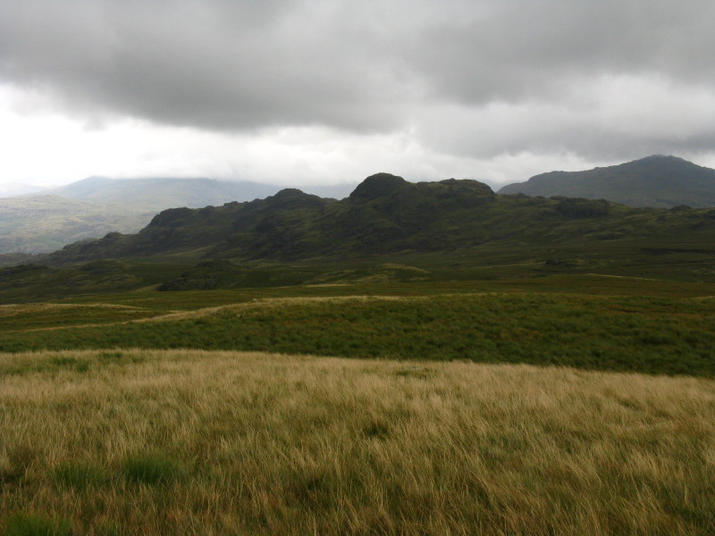
The Green Crag ridge, with Harter Fell behind on the right.
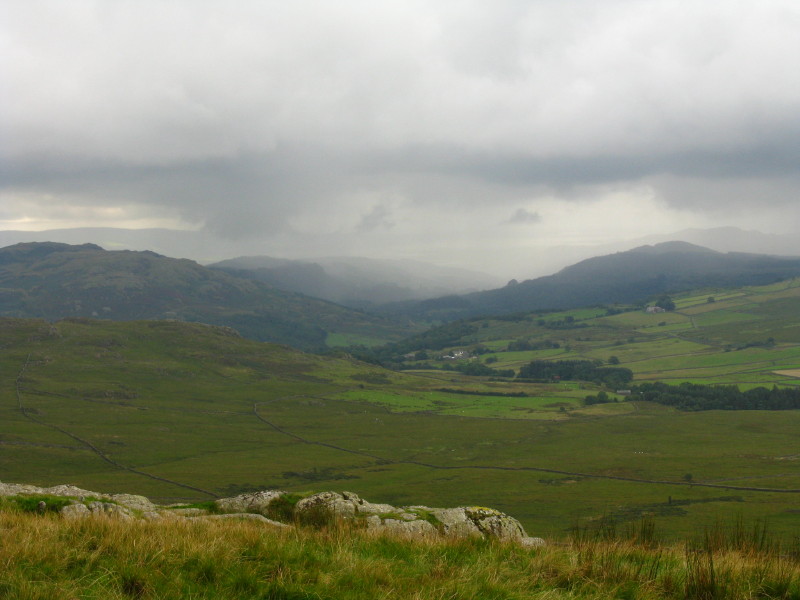
Descending near the wall back to the road, a look down the Duddon valley - and that is rain on the way, making the rest of the walk very wet.
Zoom in for more detail, or see map in larger window: Ordnance Survey |
Open Street Map |
Google Maps
A squelchy walk, even before the rain, but interesting and quiet.
Total distance 5.1 km with 210 metres of ascent in 1 hour 25 minutes.
Lake District holiday, August 2008
|
|