Glaramara Round
Incorporating: Seathwaite Fell's three tops, Allen Crags, High House
Tarn Top, Red Beck Top, Looking Steads, Glaramara's two tops, Combe Head, Combe Door
Top, Dovenest Crag, Rosthwaite Cam, and Bessyboot
15 August 2008
Despite an uncertain weather forecast, Stephen and
George went on a walk long contemplated, incorporating 14 separate
summits and a 90 minute drive to get there (indeed, a bit longer after a
wrong turning was made).
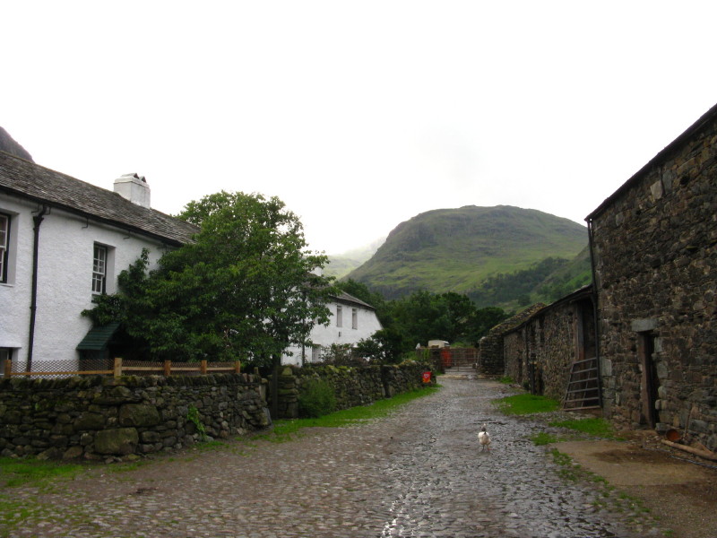
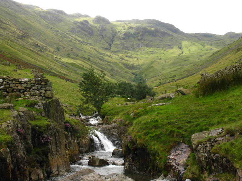
Setting off through the farmyard at Seathwaite - the wettest inhabited
place in England, and it is drizzling. We're heading towards Seathwaite
Fell, pictured, which is even wetter.
Despite the spots of rain, there are spots of sunshine too. This really
is a grand start to a walk, immediately in amongst imposing fells deep
down in a glacial valley.
Approaching Stockley Bridge, and we start to get a closer look at our
first objective, Seathwaite Fell
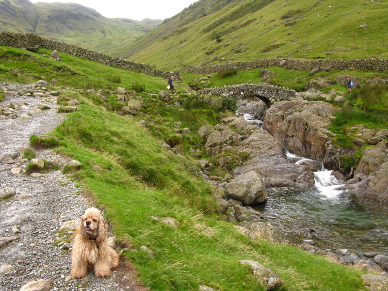
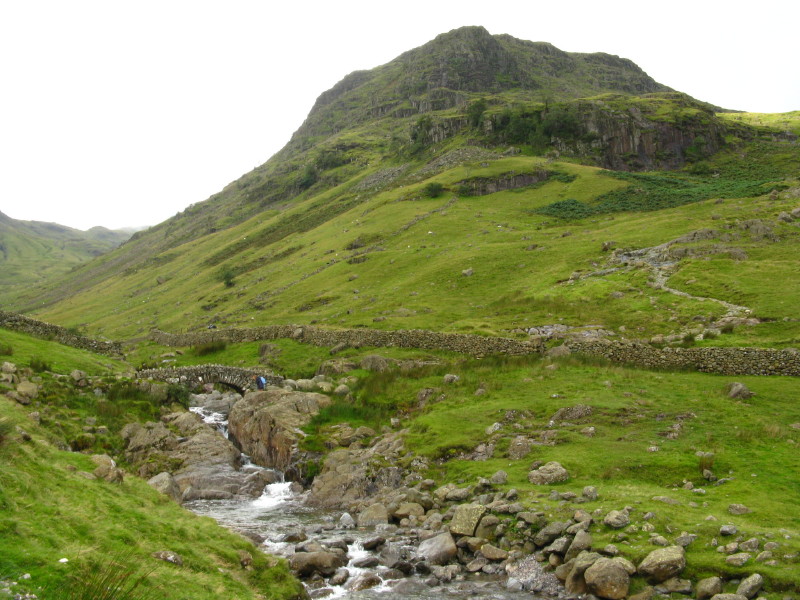
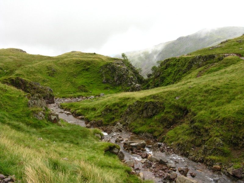
Stockley Bridge crossing Grains Gill
From Stockley Bridge looking up Grains Gill to Allen Crags, one of our
later objectives.
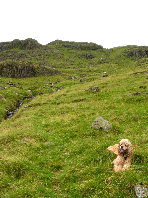
George takes a breather as we begin the steep and pathless ascent of
Seathwaite Fell
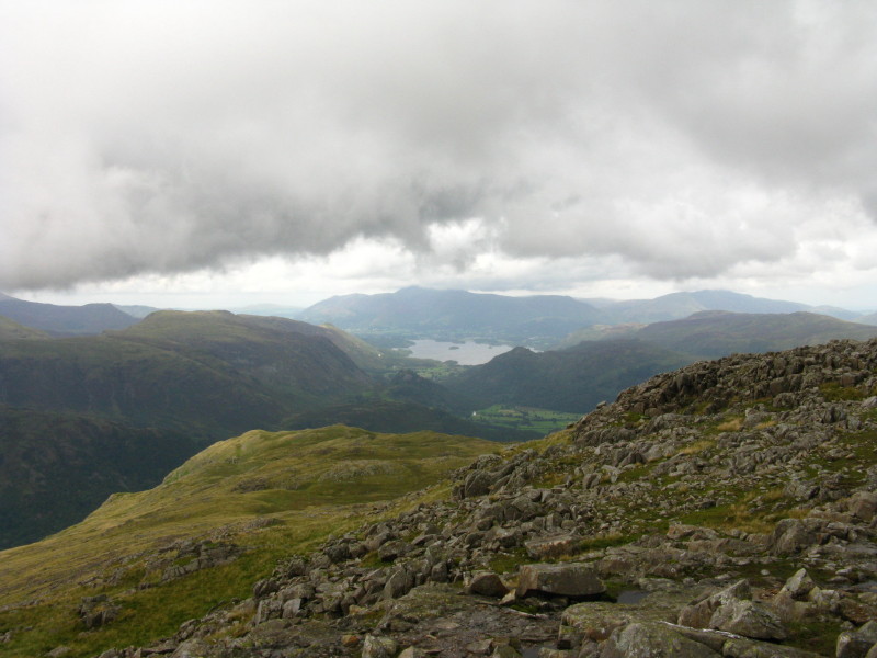
Although the ascent was steep it did mean we reached the northern top
(Wainwright's top) of Seathwaite Fell in good time, and look back down
on Seathwaite and Borrowdale leading to Derwentwater, with the Skiddaw
massif with its heads in the cloud.
A few minutes later after twists and turns among the many rocky outcrops
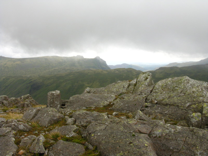
we reach the true top of Seathwaite Fell. and look south to the imposing
wall of Great End. Esk Pike, centre-left, is disappearing into the
cloud, and this was a good indicator of the weather to come for a little
while.
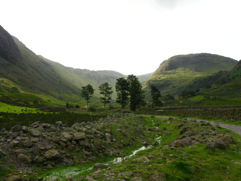
Walking alongside Ruddy Gill towards the Wasdale-Langdale watershed.
Here it is, in the fog, with a cairn marking the junction for the path
left (behind the photographer) to Allen Crags, our route.
The summit of Allen Crags
A little later, we reach the summit of High House Tarn Top, and the
cloud begins to lift
From High House Tarn Top, looking over the Rosset Pike ridge towards the
Langdale Pikes, with Windermere peeking into view beyond Lingmoor Fell
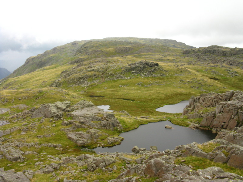
Looking past the Lincomb Tarns to Red Beck Top and Looking Steads
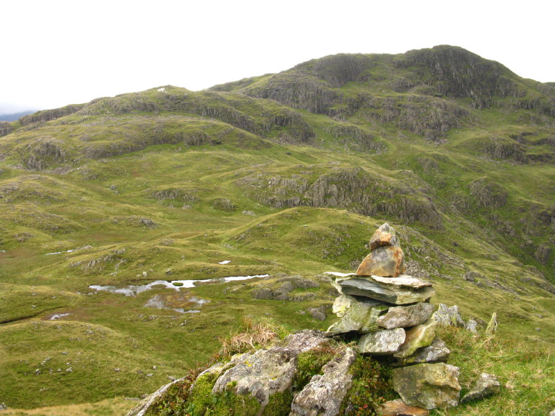
Descending from Looking Steads, looking towards the summit of Glaramara.
Near here I was asked by a woman if I could tell here where she was -
she thought she might be south of Allen Crags - somewhere it had taken
me 85 minutes to walk from.
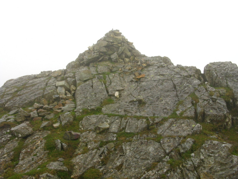
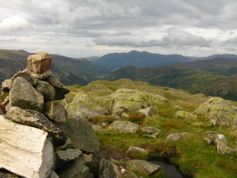
Glaramara summit
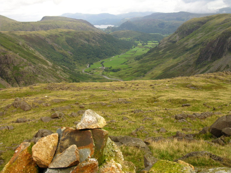
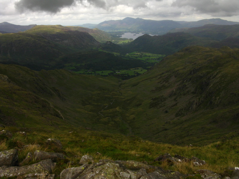
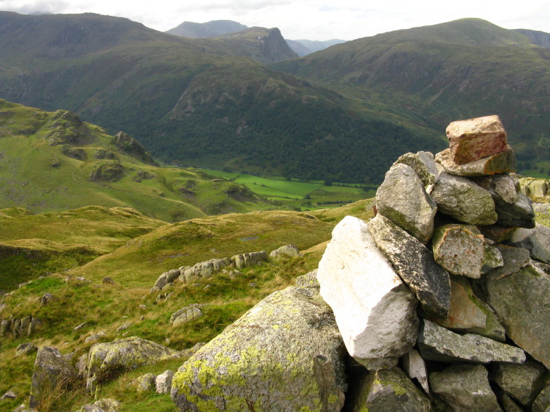
The view north up Borrowdale to Derwentwater and the Skiddaw family
After some awkward route-finding, on our way to Combe Head a pause for
an impressive look down into The Combe, with the cloud finally lifting
off Skiddaw and Blencathra. Near here I was asked for directions for the
second time today, by a couple who had downloaded a sketch map from the
Internet and had a road map for further guidance. They too wanted to be
south of Allen Crags to find the footpath down by Ruddy Gill - a good
two hours away. I advised them to retrace their steps, or at least to
follow the trod past the tarns to gain the major path down over
Thornythwaite Fell.
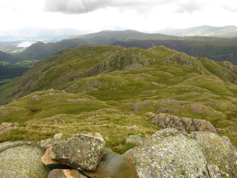
From the summit of Combe Head, looking back to Glaramara - after trying
to descend on the right of picture, we turned round and did a long
looping route round to here, round the left of those tarns.
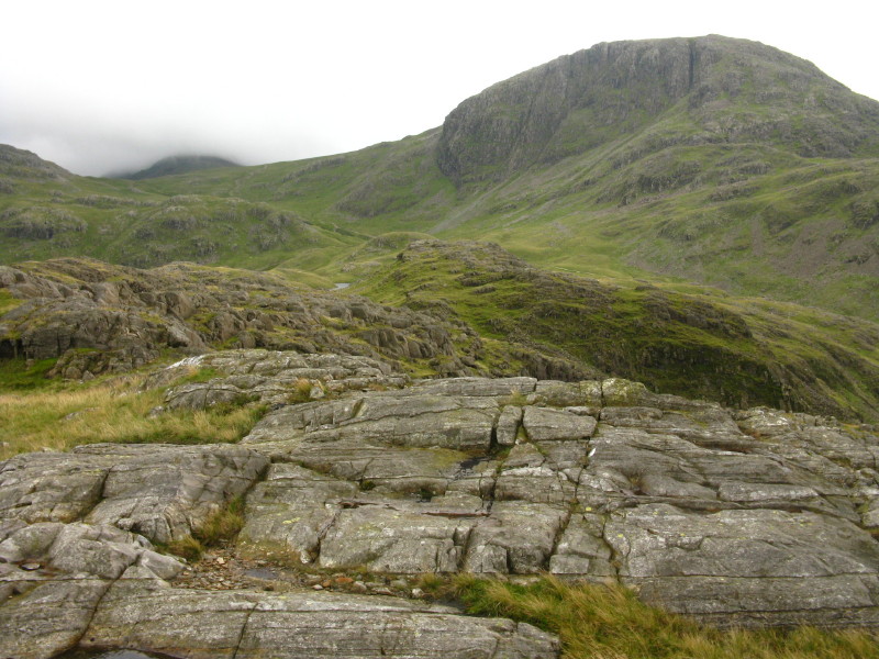
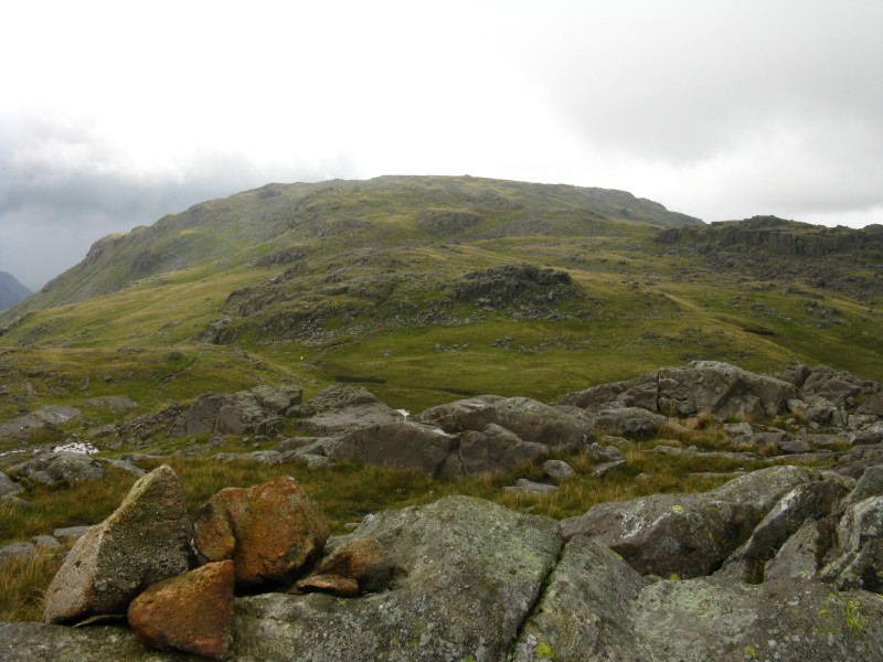
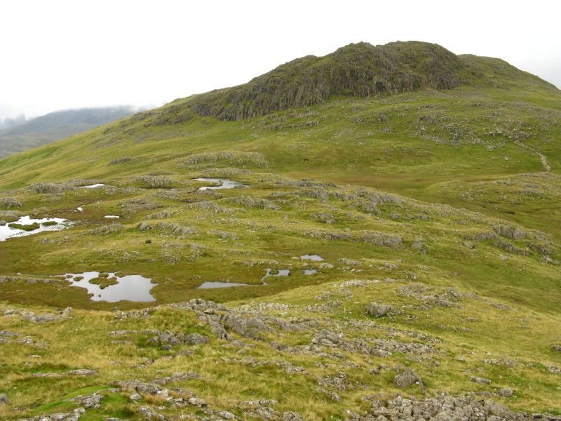
The next summit is Combe Door Top, from where we can look north to our
objectives on Rosthwaite Fell
On top of Dovenest Crag, looking back to Combe Head
George on Dovenest Crag
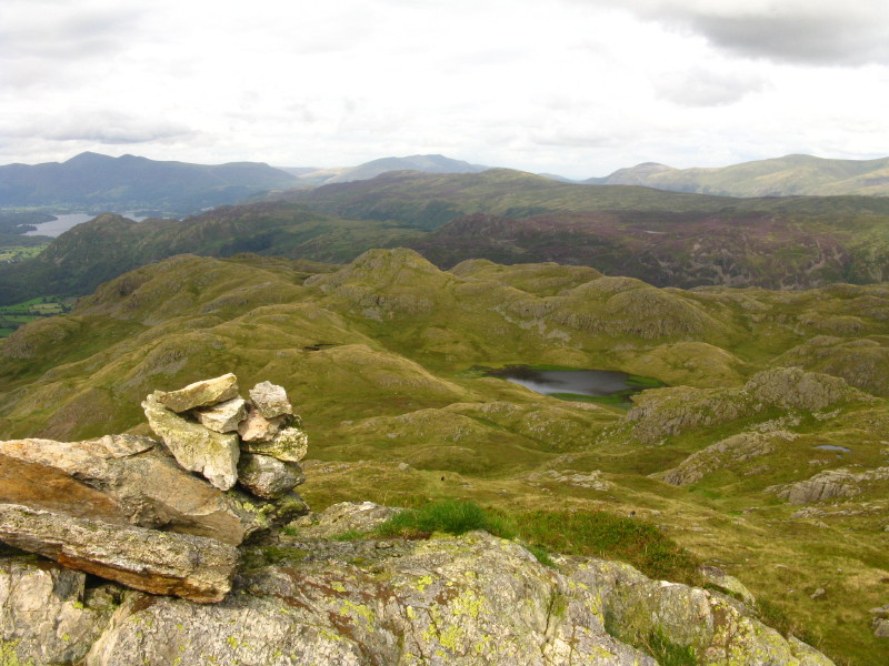
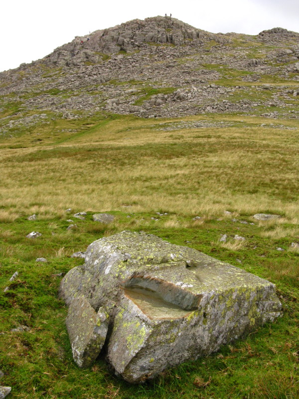
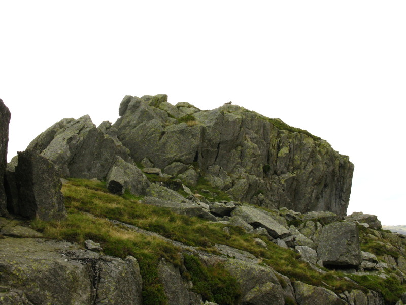
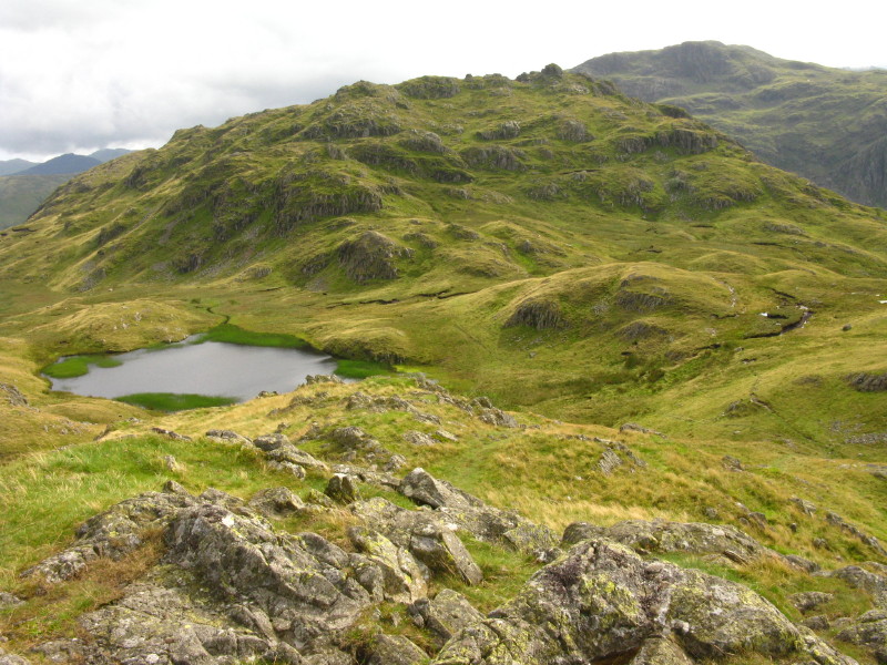
The rocky summit of Rosthwaite Cam is reached after an easy scramble,
and provides a view over Tarn at Leaves to Bessyboot, our final summit
of the day.
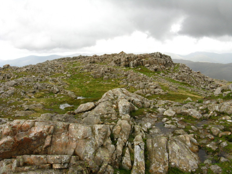
Rosthwaite Cam
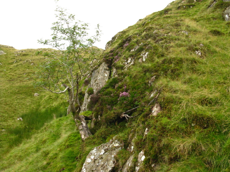
The only fell trees seen today
Bessyboot
From Bessyboot, looking past Tarn at Leaves to Rosthwaite Cam, with
Combe Head in the background
From Bessyboot, our route lies down that way into the valley
Skiddaw from Bessyboot
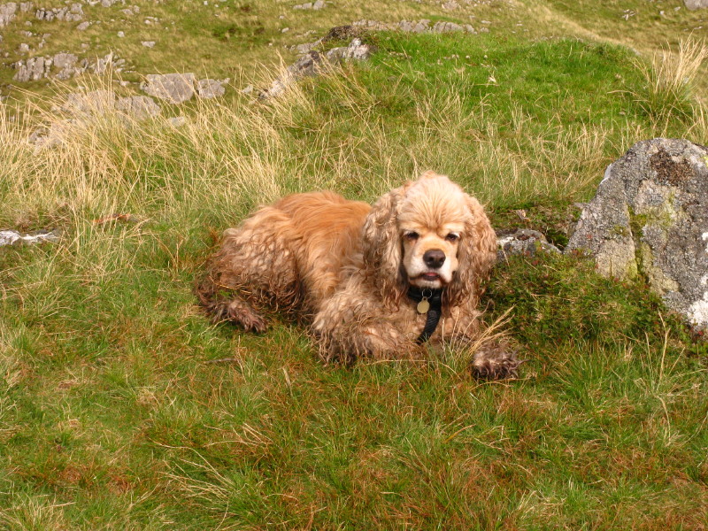
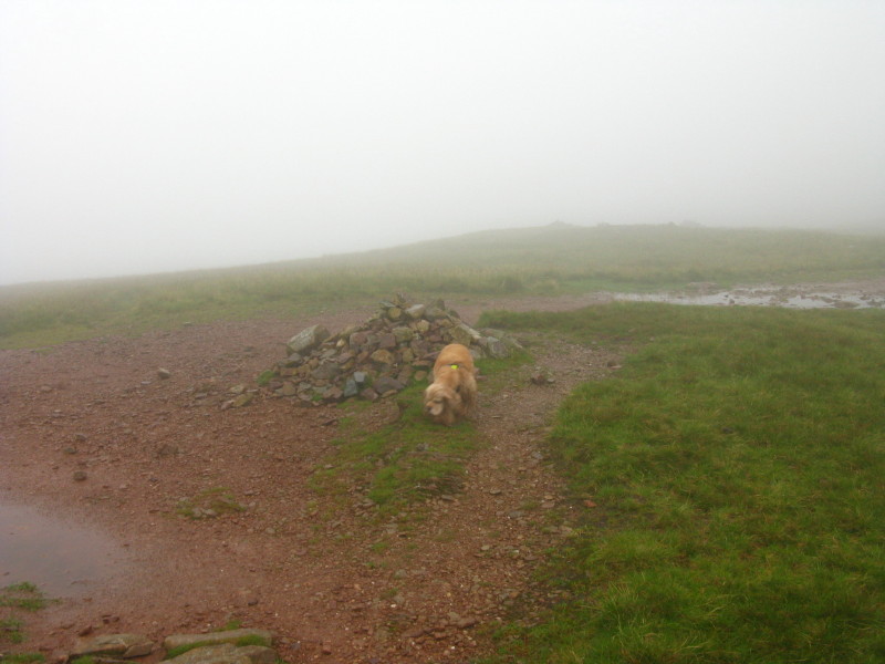
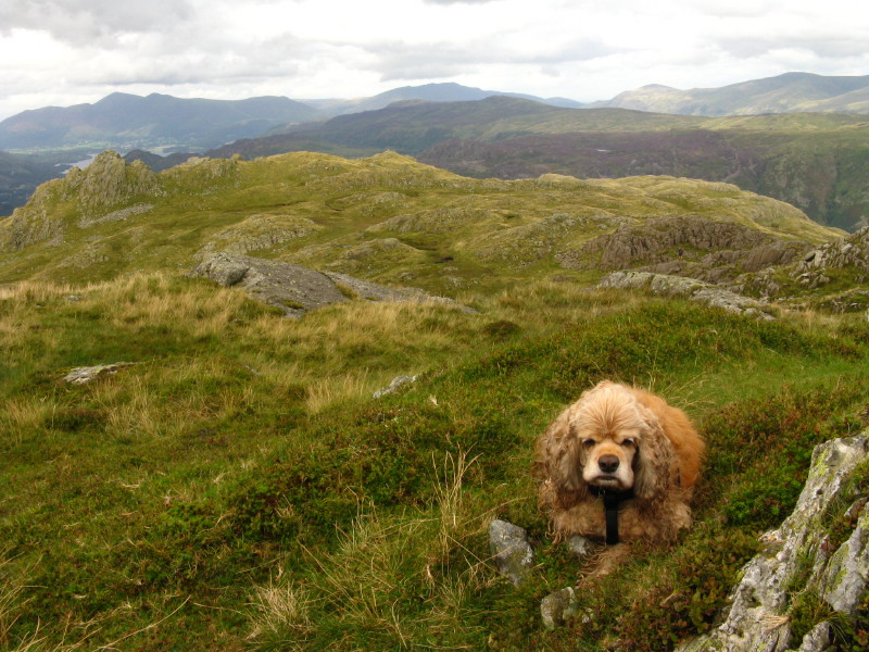
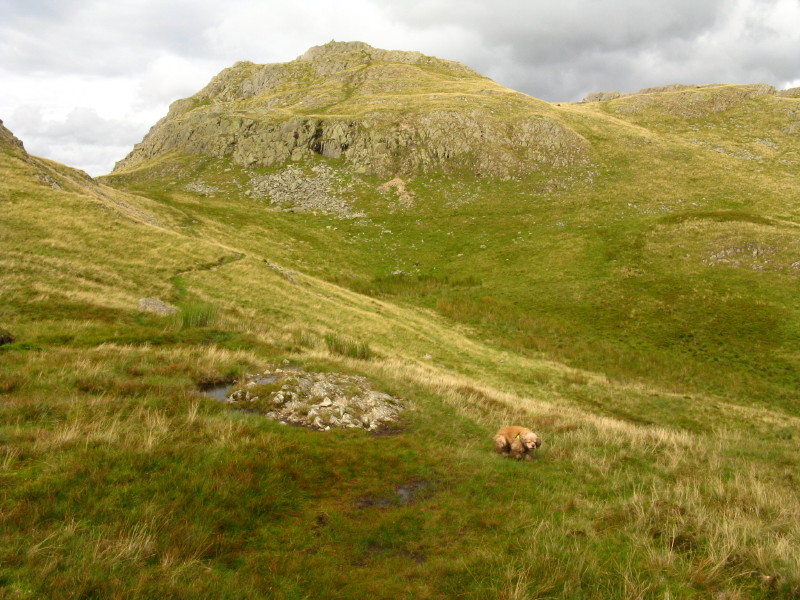
An increasingly tangled George
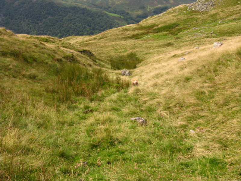
George still has the energy to run back up Dry Gill to fetch me
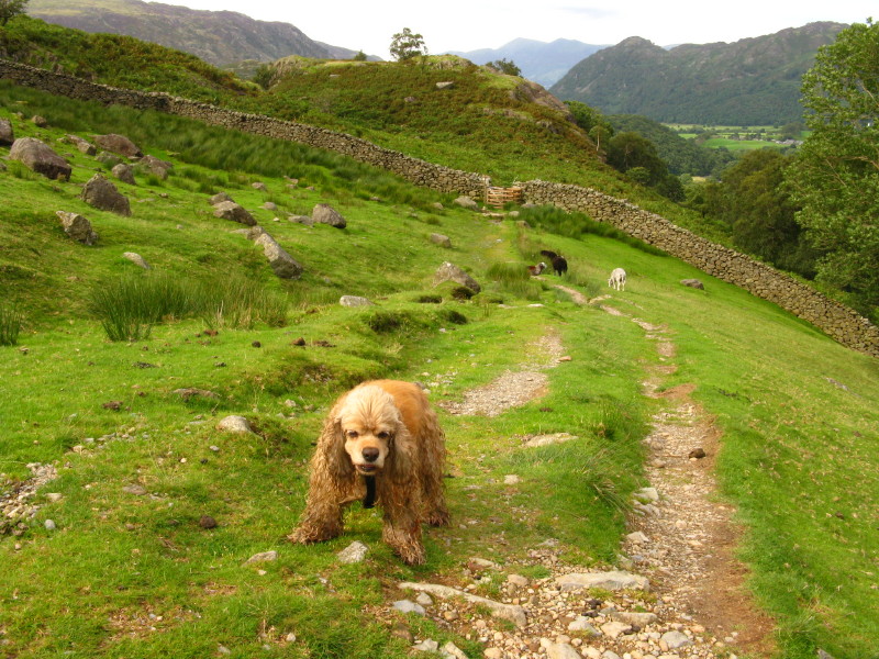
Across Combe Gill, we reach the main path coming down off Thornythwaite
Fell, and George has run out of excess energy, and one of his pads is bleeding
slightly.
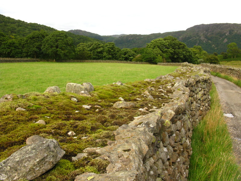
Fortunately it isn't too far to go, and after turning the corner near
Strands Bridge, we make our way along the valley footpath back to
Seathwaite, pausing to admire this dry stone wall which is more than a
metre thick at the top.
Zoom in for more detail, or see map in larger window: Ordnance Survey |
Open Street Map |
Google Maps
A tiring walk but a great one, and one which means Stephen has now visited
all
the fells in Wainwright's Southern Fells book.
Total distance 18.2 km with 1152 metres of ascent in 7 hours 30 minutes.
Lake District holiday, August 2008
|
|