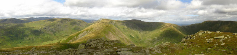
Yoke, Ill Bell, Froswick and Thornthwaite Crag
29 August 2009
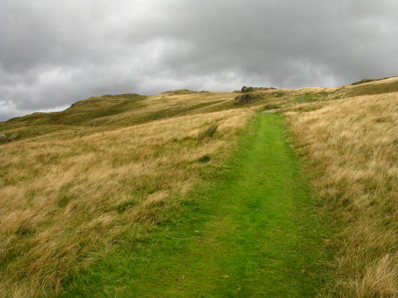
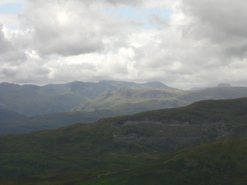
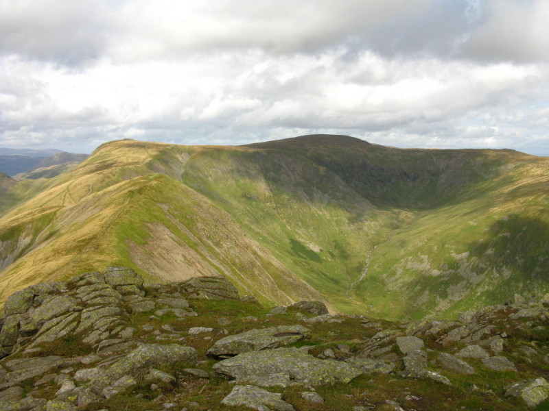
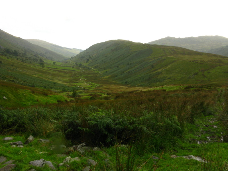
Having parked at Church Bridge, ascending the bridleway across the lower
flanks of Applethwaite Common, the mountain skyline here is our walk for
the day - starting on the right at Yoke, then the peaks of Ill Bell and
Froswick before Thornthwaite Crag, then returning along their flanks to
the right of The Tongue seen centre-left
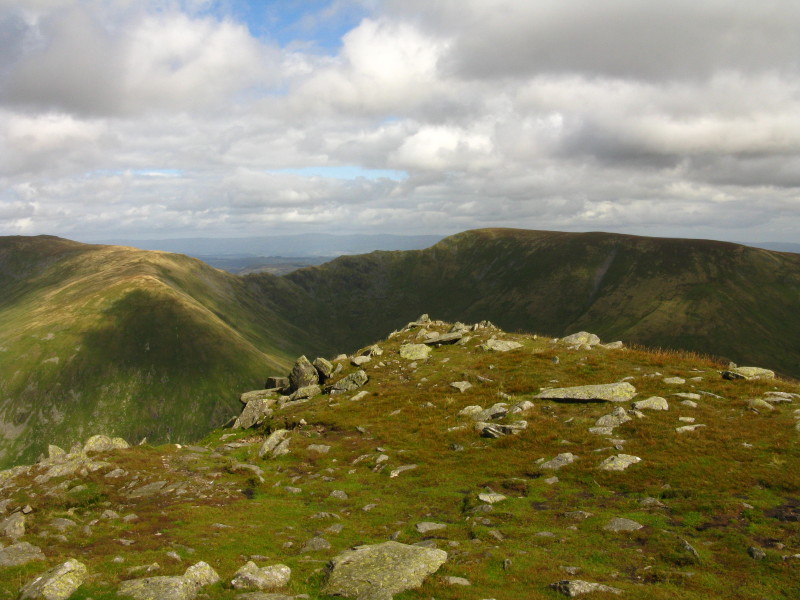
A little higher and a similar view with George
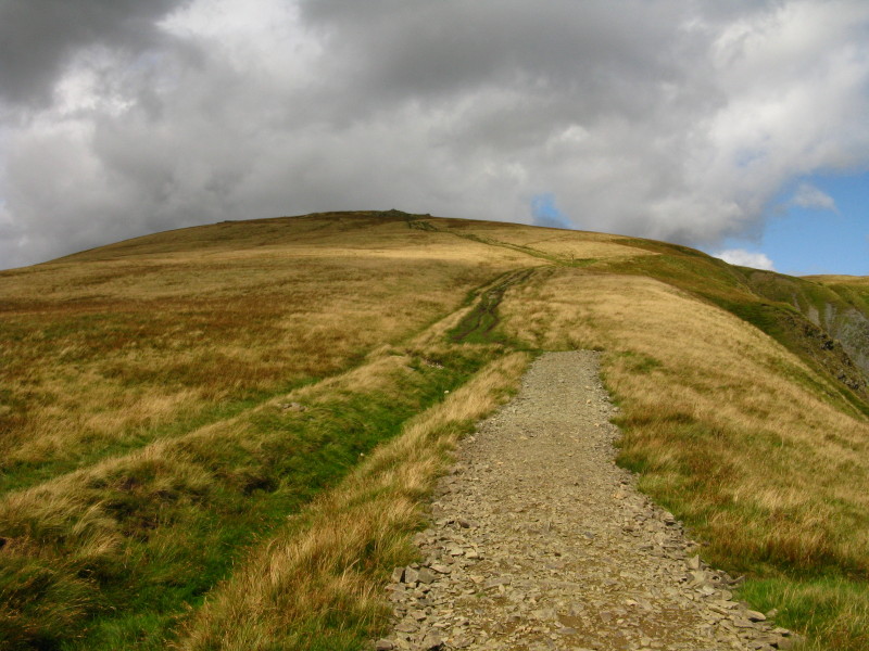
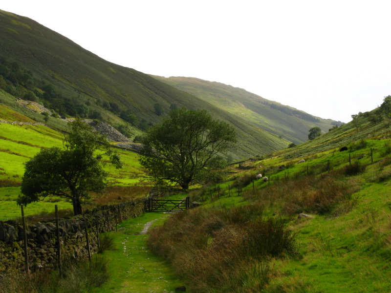
We left the Garnburn Road near the top of the pass and take the
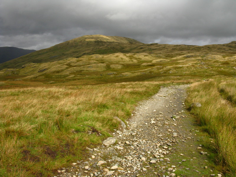
relatively new path, not alongside the wall.
In places it is grassy
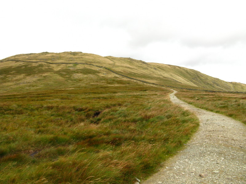
But much is this stony, slightly embanked path which is fairly easy to
walk on - a vast improvement on many "improved" paths. But how well will
it last?
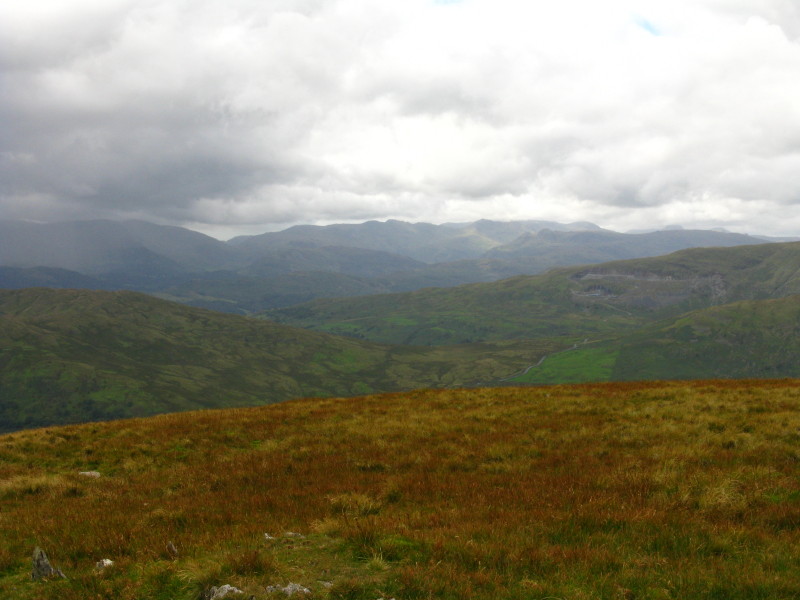
The old quarries of Red Screes are seen right, beyond them the Langdale
Pikes, and beyond them the upper Eskdale fells including Crinkle Crags
and Bowfell with part of the Scafell range seen behind them. On the
left, the Coniston Fells disappear into the cloud.
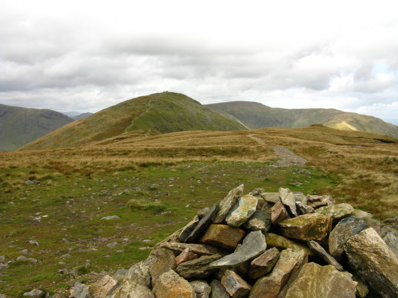
From the summit of Yoke, looking ahead to Ill Bell
From Yoke, the Langdale Pikes in sunshine with Scafell Pike behind;
Great Gable joins the view on the right.
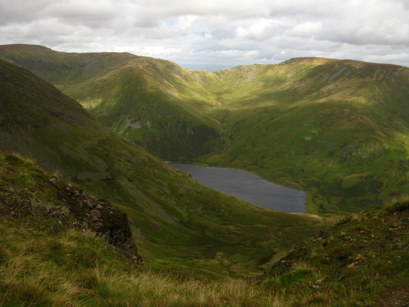
Looking down on Kentmere Reservoir, with beyond it Nan Bield Pass lying
between Harter Fell and High Street
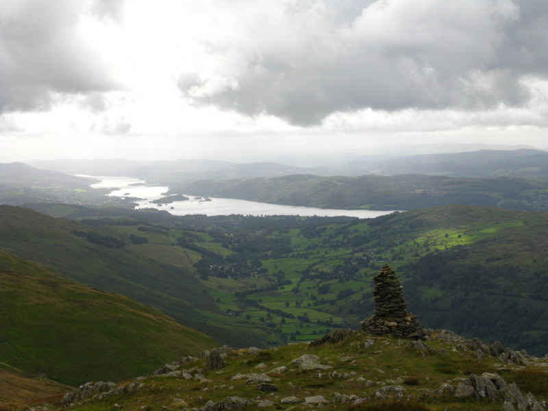
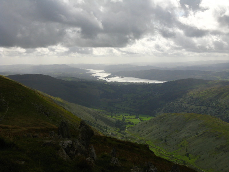
From Ill Bell, looking past one of the summit cairns to Windermere
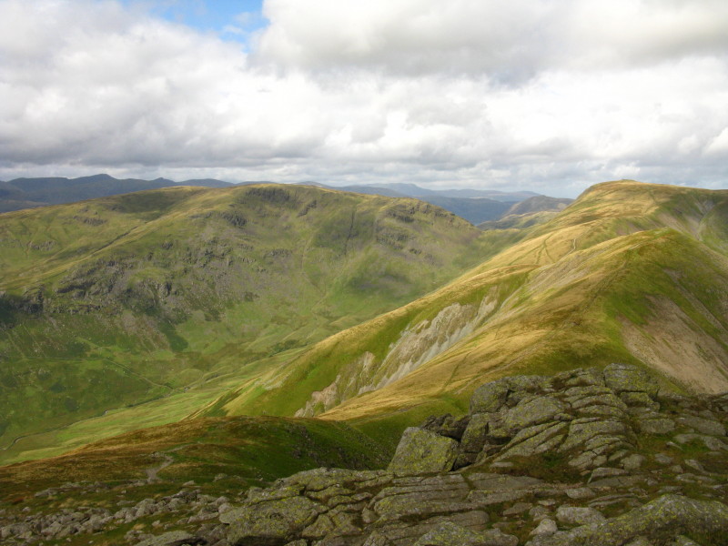
Lookiong ahead to Froswick and Thornthwaite Crag. Stony Cove Pike is to
the left.
High Street across Hall Cove
The Pennines across Nan Bield Pass
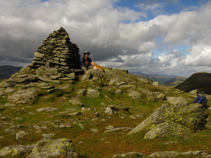
George and me on Ill Bell
Another look at Windermere
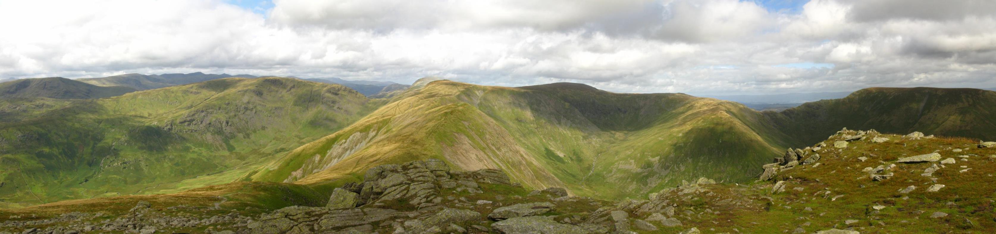
Panoramic view to the north - click on picture for larger version
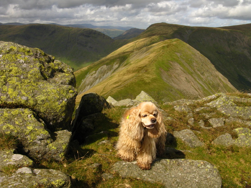
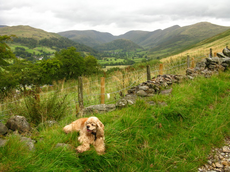
George above Froswick
The Tongue is bottom right, with the valley of Hag Gill along which we
will walk later
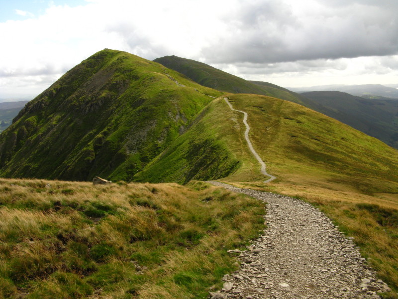
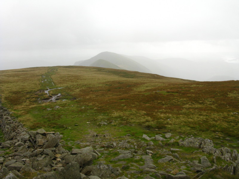
Looking back from the slopes of Froswick along the improved path to Ill
Bell and behind it Yoke
The improved path comes to an abrupt end: above it you can see the
multiple lines that have been cut by walkers, which have here been dug
out to form a drainage ditch and ebnak the new path
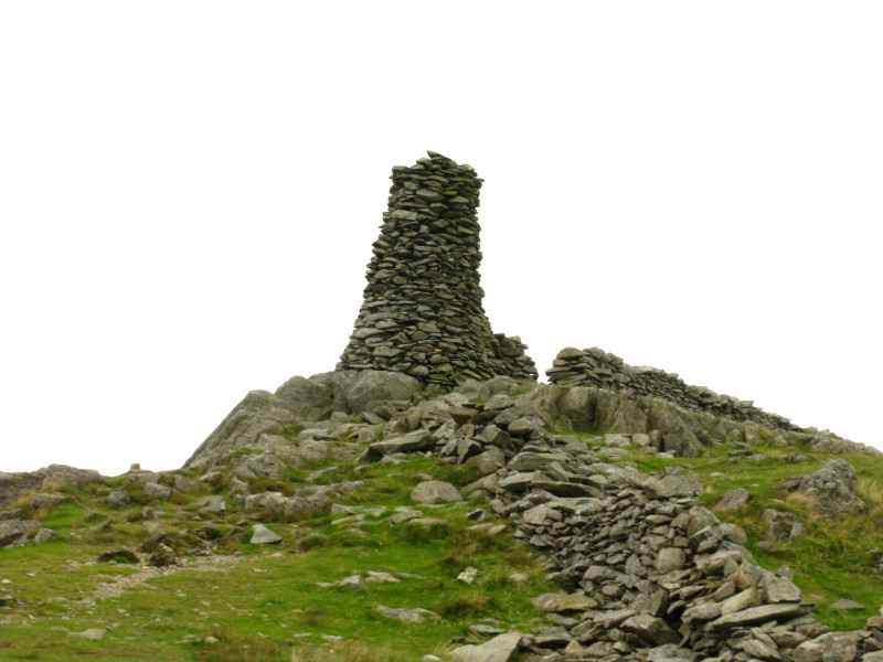
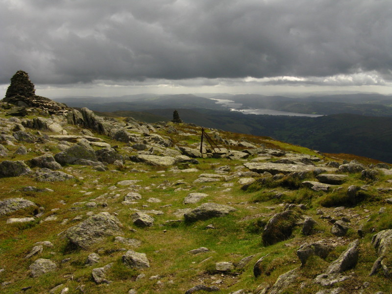
The impressive pillar on top of Thornthwaite Crag - it is about four
metres tall.
Here the wather took a rapid turn for the worse - a look bath over
Thornthwaite Crag to Froswick and Ill Bell, disappearing into rain which
was being blown very hard
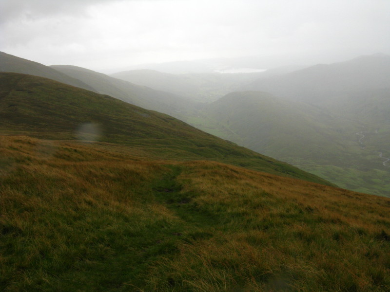
Descending - although it doesn't look mich like it, this is High Street,
the Roman Road.
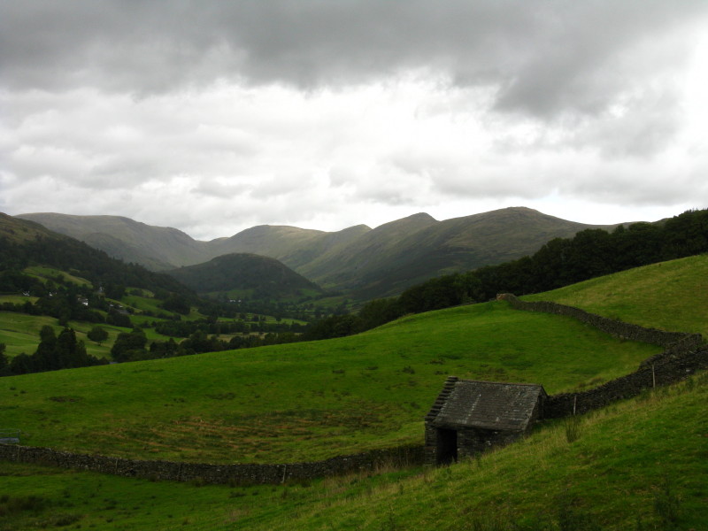
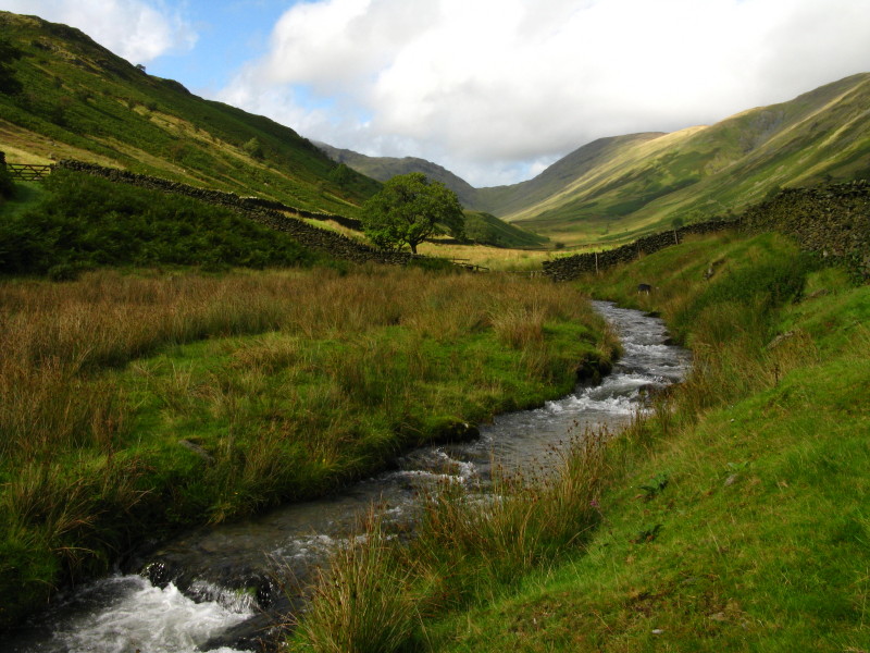
After very heavy rain with strong winds, we have descended into the
valley of Hag Gill, with The Tongue seen ahead.
Continuing along the Roman road of High Street
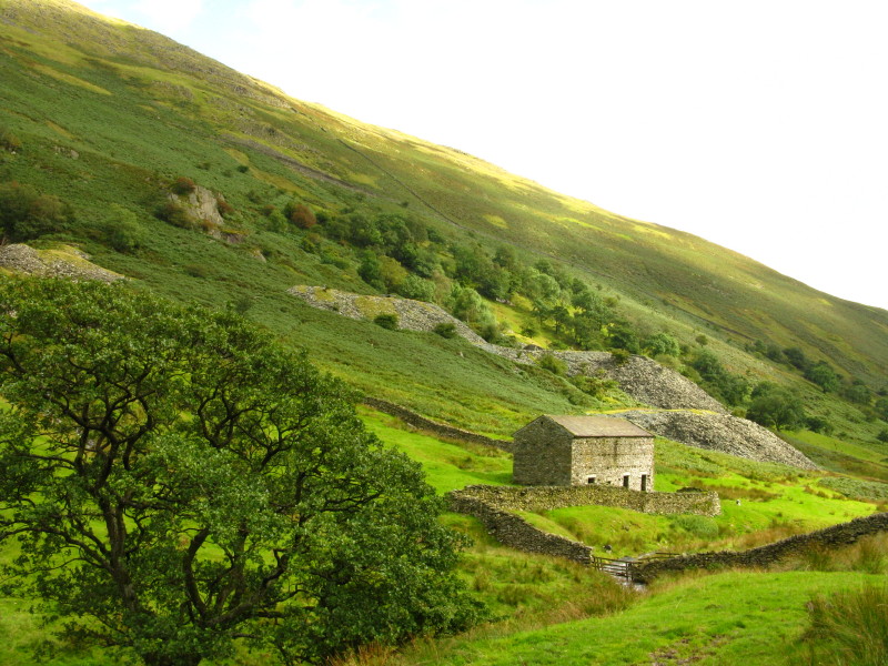
A disused quarry
Looking back along the line of descent to Threshthwaite Mouth
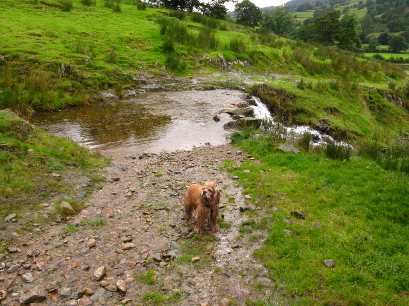
George prepares to ford a stream
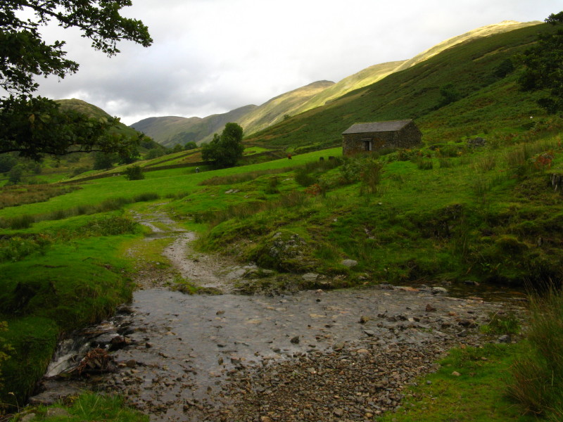
Another little ford, looking back along our line of descent. From here
we descended through Limefitt Park and back to the car
Zoom in for more detail, or click to view larger map in new window
Despite the rain and gales, a very pleasant walk. Total distance
18.4 km and 1057 metres of ascent in 5 hours 47 mins.
Lake District holiday, August/September 2009
|
|