Sandscale Haws
4 September 2009
After a lot rain earlier in the day, the sun finally
came out, though still accompanied by very strong winds. I decided a low
level walk was in order, but with hindsight that wind meant that the
beach wasn't the best place to choose.
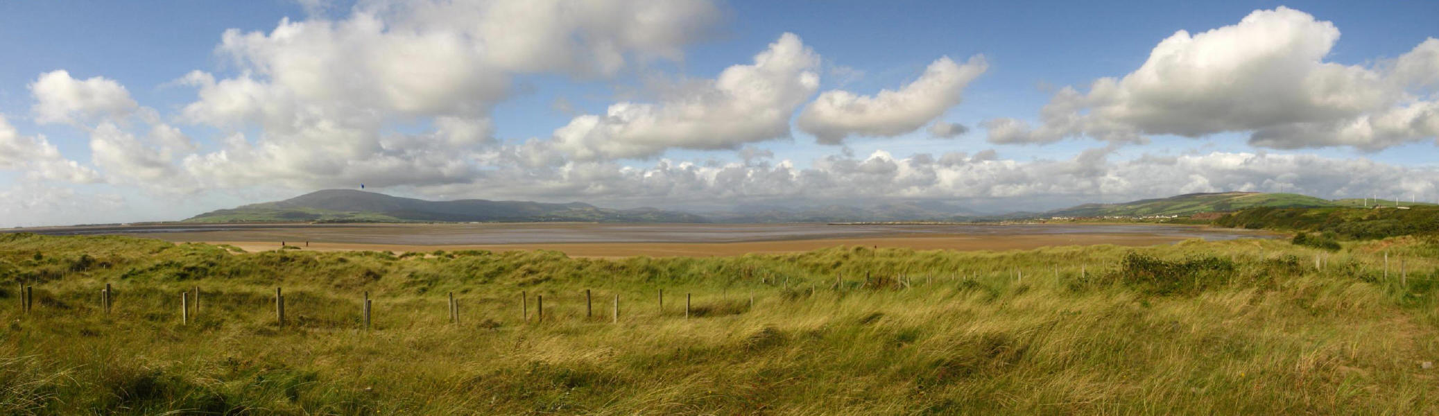
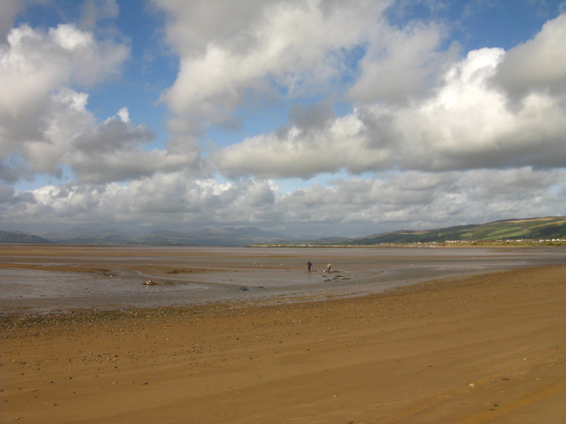
From near the car park at Sandscale Haws, looking across the estuary of
the Duddon to Black Combe on the left, with many of the southern and
western fells visible, including the Coniston fells, the Scafells and as
far as Red Pike some 40 kilometres away. (Click the photo for a larger
version.)
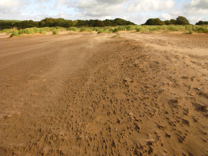
On the beach, the light is interesting, and the blown sand is visible.
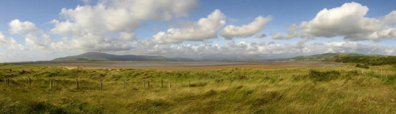
Looking the other way
Low water in the Duddon estuary.
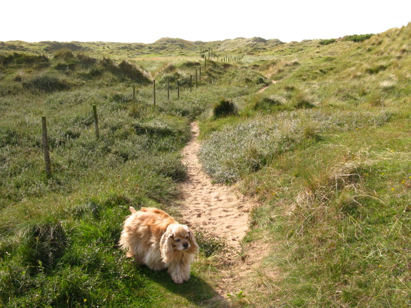
I abandoned the beach itself while the wind and sand were blowing
directly into my face, and took to the grassy sand dunes. Sandscale Haws
is
a National Nature Reserve.
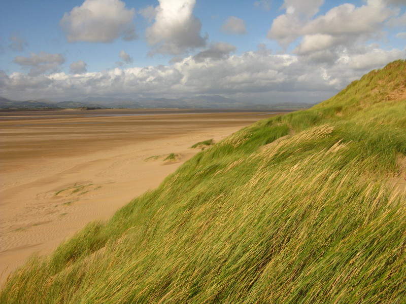
At the western end, the grass is being blown strongly
The same spot, looking roughly south
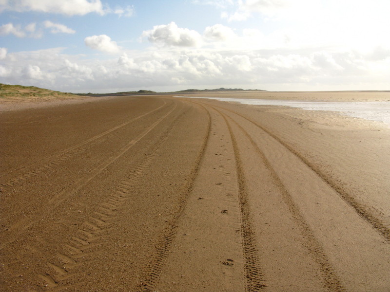
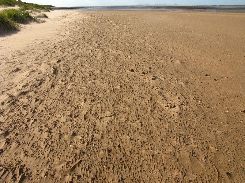
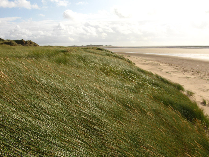
On the beach, the damper sand is kinder to the face. Ahead, across
Scarth Channel, is North End Haws, the dunes on the northern tip of
Walney Island
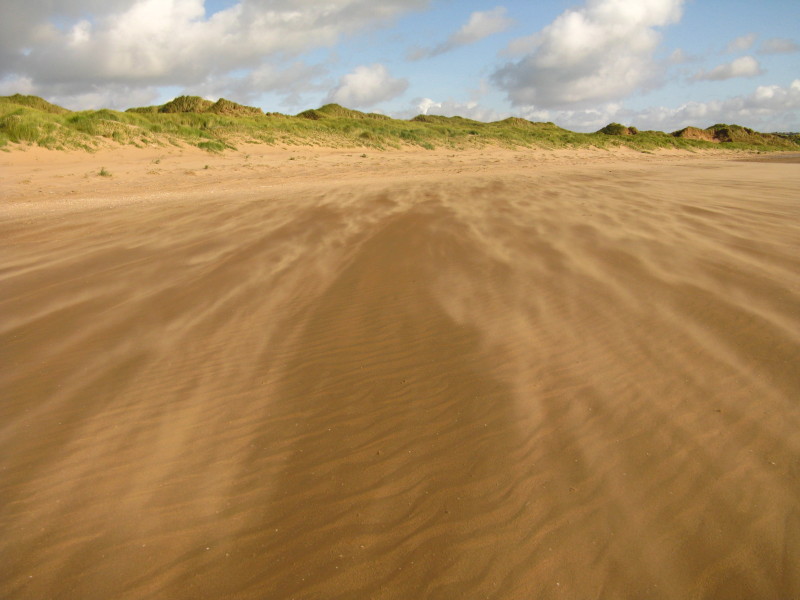
As we head towards Lowsy Point, the sand is being blown again.
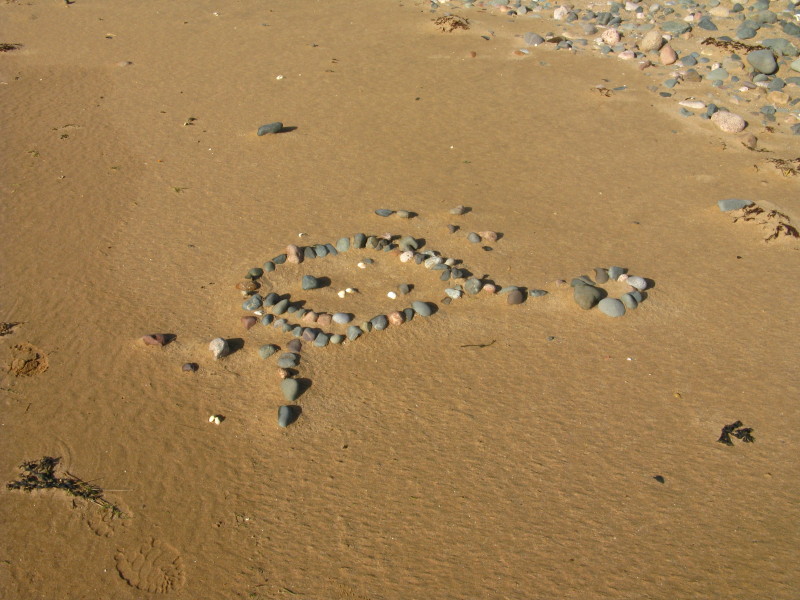
Someone has been having fun
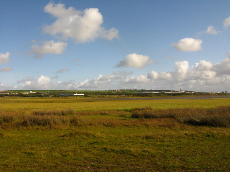
Across Lowsy Point, and the bay of Scarth Bight has a lot of vegetation
in it. An agricultural walk to Sandscale Farm took us back to the car
park.
Zoom in for more detail, or click to view larger map in new window
Exploration of an area I've long thought about exploring. The outward half, to
Lowsy Point, was very good, but it would have been better to have turned back
and returned by a similar route. Very windy, despite the low altitude.
Total distance 7.5 km in 1 hours 35 mins.
Lake District holiday, August/September 2009
|
|